The best gravel rides in Flechtinger Höhenzug
4.5
(7)
26
riders
7
rides
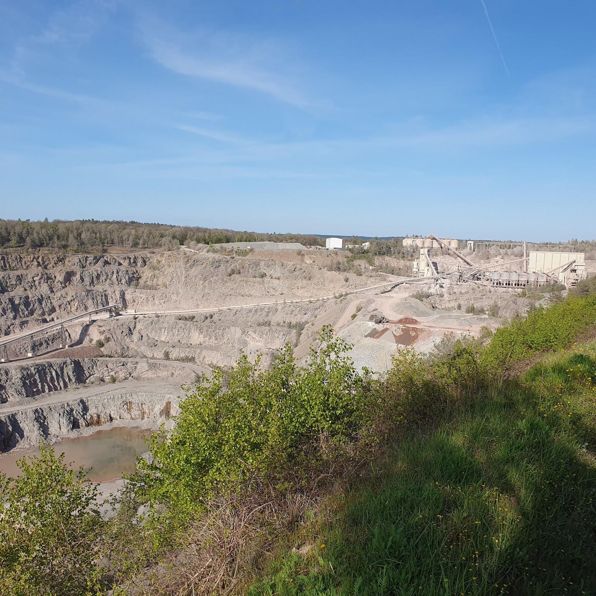
Gravel biking in Flechtinger Höhenzug offers diverse landscapes across a wooded and hilly upland area in northwestern Saxony-Anhalt. The region is characterized by extensive deciduous and mixed forests, interspersed with forest meadows and stream valleys, providing varied terrain for cycling. Geologically, the area features old rocks and sandstones, with quarries contributing to robust and varied gravel surfaces on many unpaved paths. The terrain is generally hilly, reaching elevations up to 179 meters, ensuring engaging rides with ascents and descents.
Best gravel bike trails in Flechtinger Höhenzug
- The most popular gravel bike trail is Kirchenweg – Flechtingen Moated Castle loop from Flechtingen, a 16.1 miles (26.0 km) trail that takes 2 hours 10 minutes to complete. This moderate route explores the area around the historic moated castle.
- Another top favourite among local gravel bikers is Flechtingen Moated Castle – Tree-Lined Pathway loop from Flechtingen, a moderate 22.5 miles (36.2 km) path. This route features varied terrain through tree-lined sections and open landscapes.
- Local gravel bikers also love the Flechtingen Moated Castle – Flechtingen Water Castle loop from Flechtingen, a 25.4 miles (40.9 km) trail leading through forested areas and past the water castle, often completed in about 2 hours 59 minutes.
- Gravel biking in Flechtinger Höhenzug is defined by extensive forests, hilly terrain, and varied gravel surfaces. The network offers options for both easy and moderate ability levels.
- The routes in Flechtinger Höhenzug are highly rated by the komoot community with an average score of 4.6 stars from over 9 reviews. More than 30 gravel bikers have used komoot to explore Flechtinger Höhenzug's varied terrain.
Last updated: May 22, 2026
5.0
(2)
2
riders
26.0km
01:27
120m
120m
Easy gravel ride. Great for any fitness level. Mostly paved surfaces. Suitable for all skill levels.
5.0
(1)
3
riders
40.9km
02:20
250m
250m
Moderate gravel ride. Good fitness required. Mostly paved surfaces. Suitable for all skill levels.

Sign up for free
4.5
(2)
13
riders
Moderate gravel ride. Good fitness required. Mostly paved surfaces. Suitable for all skill levels.
4.0
(1)
2
riders
41.3km
02:20
160m
160m
Moderate gravel ride. Good fitness required. Mostly paved surfaces. Suitable for all skill levels.
2
riders
Easy gravel ride. Great for any fitness level. Mostly paved surfaces. Suitable for all skill levels.
Get access to more routes and recommendations from other explorers.
Sign up for free
Already have an account?
Our route recommendations are based on thousands of hikes, rides, and runs completed by other people on komoot.
Start today with a free account
Your next adventure awaits.
Login or Signup
Tips from the Community

Vehicle traffic is allowed on the route, but rare.
0
0

Plastered church from the 17th century. The west tower dates back to the 12th century and has a hipped roof. Inside, a remarkable floating baptismal angel is visible.
0
0

Beautiful, historic castle 🏰 now a hotel 🏨 worth seeing 💯🔝👍🏻😉‼️
2
0
Excellent paved connecting road between Emden and Bebertal. No traffic on weekends.
0
0
Well-paved, traffic-free connecting road between Altenhausen and Emden
0
0

A historic place for a look past the castle
0
0

Very beautiful castle, with restaurant and sleeping facilities.
0
0

This is an exceptionally interesting facility
0
0
Frequently Asked Questions
How many gravel bike trails are available in Flechtinger Höhenzug?
The Flechtinger Höhenzug region offers a total of 7 dedicated gravel bike trails. These routes vary in length and elevation, providing options for different preferences.
What are the typical difficulty levels for gravel biking in this region?
The gravel bike trails in Flechtinger Höhenzug are categorized as easy or moderate. There are 3 easy routes and 4 moderate routes, making the area accessible for a wide range of skill levels.
What kind of terrain can I expect on gravel bike trails in Flechtinger Höhenzug?
You can expect diverse terrain characterized by extensive deciduous and mixed forests, interspersed with forest meadows and stream valleys. The region is hilly, with elevations up to 179 meters, ensuring engaging rides with ascents and descents. Geologically, the area features old rocks and sandstones, with quarries contributing to robust and varied gravel surfaces on many unpaved paths.
What interesting sights or landmarks can I discover along the gravel bike trails?
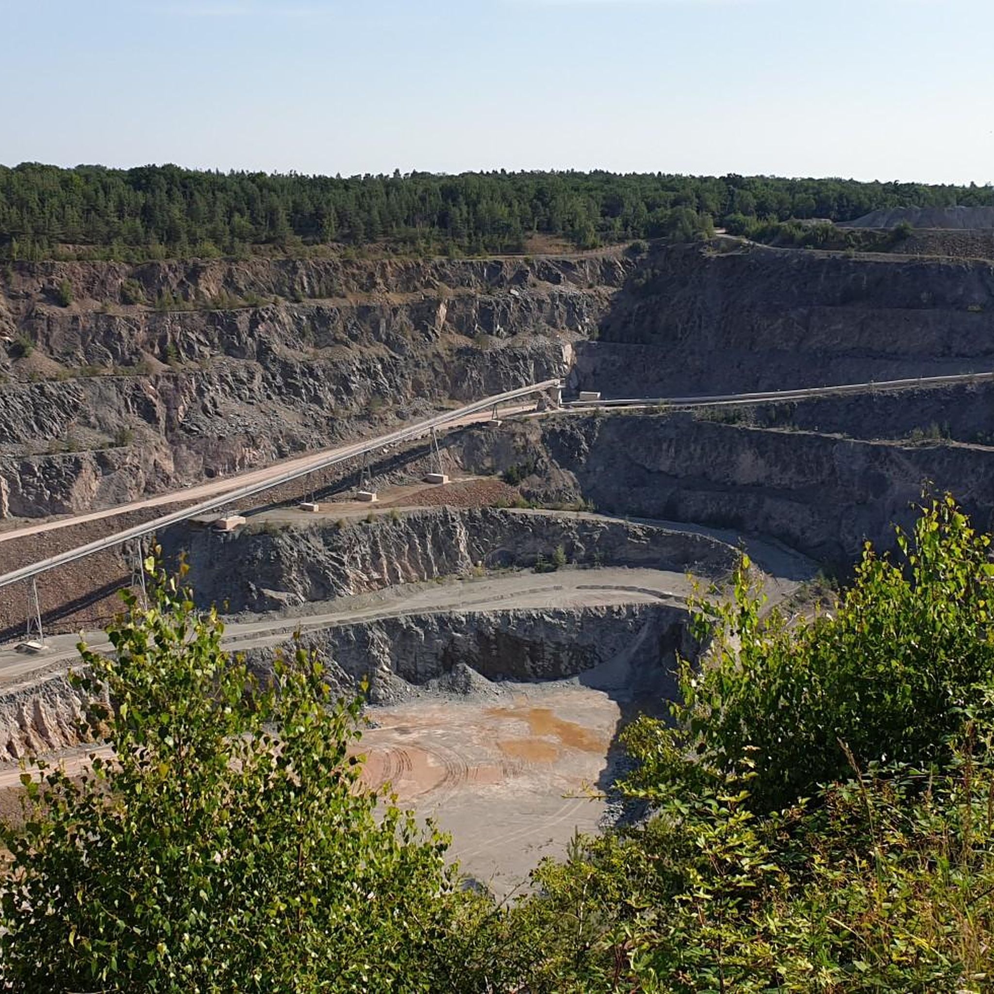
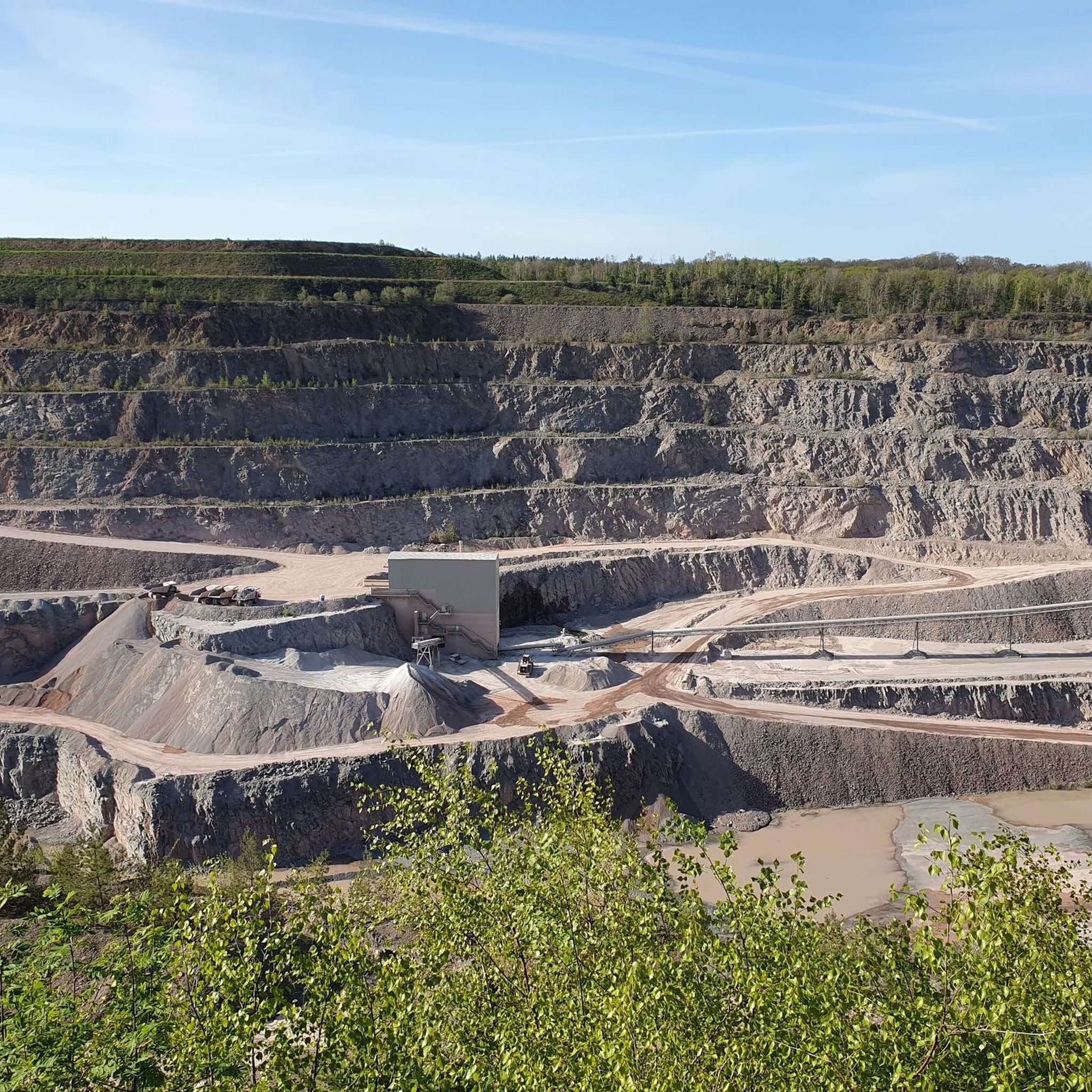
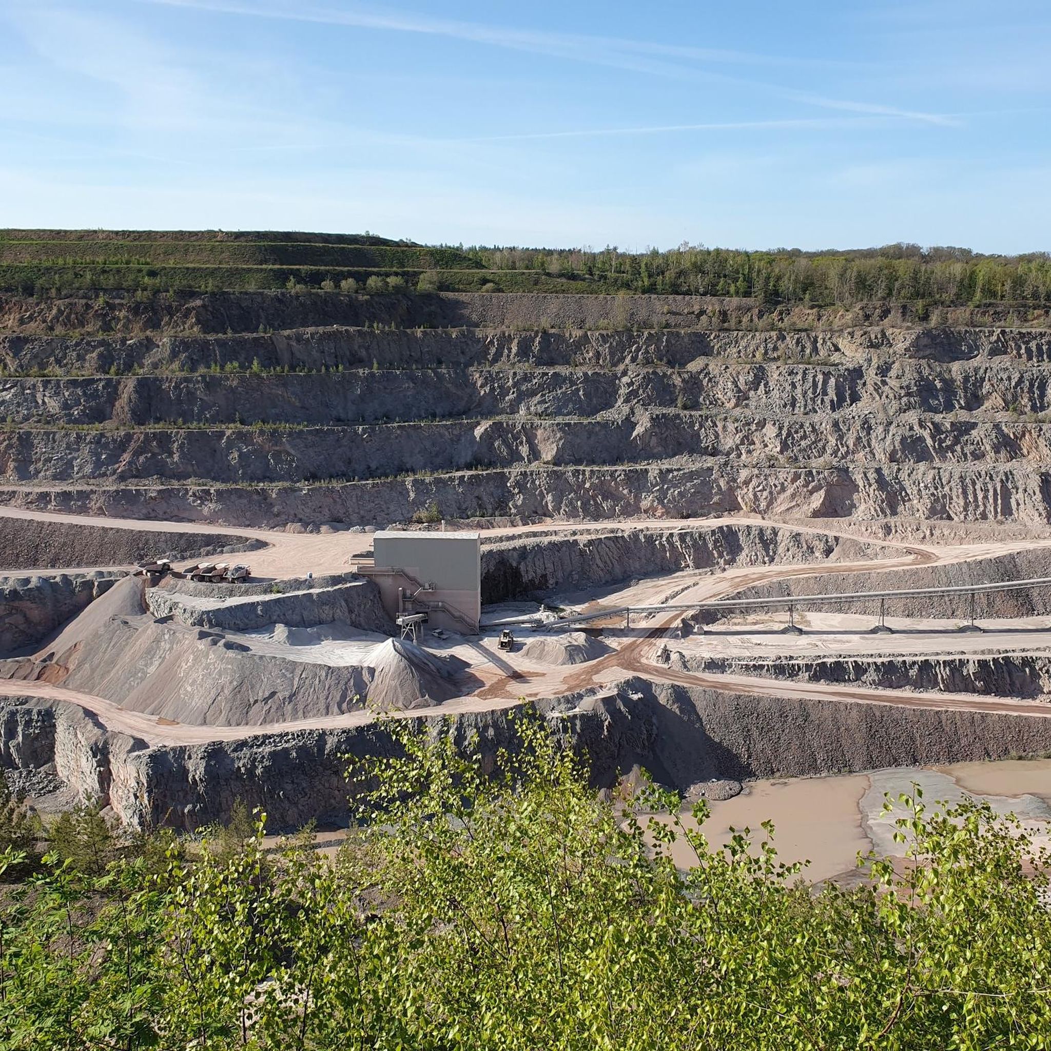
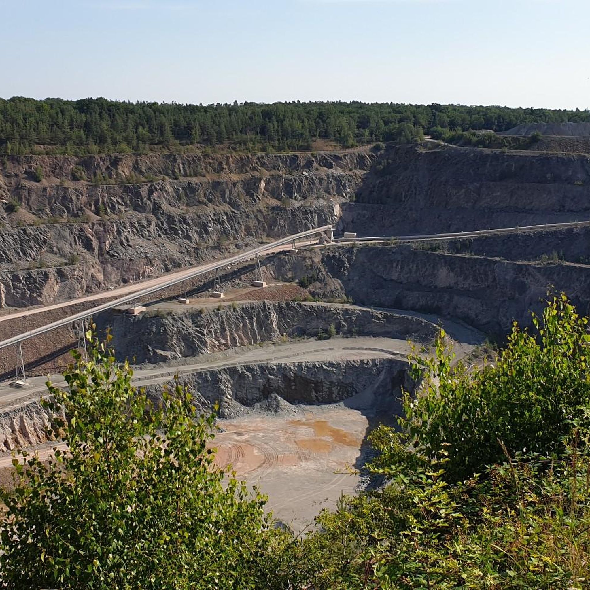
Many routes pass by notable landmarks. You can explore the historic Flechtingen Moated Castle, enjoy the scenic Holzmühle Pond, or even catch a glimpse of the region's geological history from the observation platform overlooking a quarry.
Are there any circular gravel bike routes in Flechtinger Höhenzug?
Yes, many of the gravel bike routes in Flechtinger Höhenzug are designed as loops. For example, the Flechtingen Moated Castle – Tree-Lined Pathway loop from Flechtingen offers a varied ride through tree-lined sections and open landscapes, starting and ending in Flechtingen.
What do other gravel bikers enjoy about the trails in Flechtinger Höhenzug?
The trails in Flechtinger Höhenzug are highly rated by the komoot community, with an average score of 4.6 stars from over 9 reviews. Riders often praise the varied terrain, the extensive forest sections, and the engaging ascents and descents that make for a rewarding gravel biking experience.
Is parking available for gravel bikers in Flechtinger Höhenzug?
While specific parking areas for each trail are not detailed, the presence of popular starting points like Flechtingen suggests that parking facilities are generally available in or near the main towns and trailheads within the region. It's advisable to check local parking options before your ride.
Are there any family-friendly gravel biking options in the area?
Yes, with several easy and moderate routes, the Flechtinger Höhenzug offers options suitable for families. The varied landscapes and relatively gentle climbs on some trails make it possible to enjoy gravel biking with different fitness levels. Consider routes like the St. Stephanus Church, Hörsingen – Pond Rest Area loop from Hörsingen for a shorter, easier ride.
Are there places to rest or picnic along the routes?
Yes, the region offers several spots for a break. You can find a dedicated Picnic Area at Holzmühlenteich and a Shelter by the Lake, providing convenient places to rest and refuel during your ride.
What is the best time of year for gravel biking in Flechtinger Höhenzug?
The Flechtinger Höhenzug, with its extensive deciduous and mixed forests, is particularly beautiful during spring and autumn when the foliage is vibrant. Summer offers shaded routes through the woods, while winter conditions might require more specialized gear due to potential snow or ice. Generally, spring through autumn provides the most pleasant riding conditions.
Are there any longer gravel routes for more experienced riders?
For those seeking a longer challenge, routes like the Flechtingen Moated Castle – Bülstringen Canal Bridge loop from Flechtingen cover nearly 47 kilometers with significant elevation gain, offering a more demanding experience through varied terrain.
Most popular routes in Flechtinger Höhenzug
Most popular attractions in Flechtinger Höhenzug

Get inspired with the komoot mobile app


Explore more
Browse the best Gravel rides in other regions.
