The best gravel rides in Unterbürgerwald
4.6
(15)
48
riders
12
rides
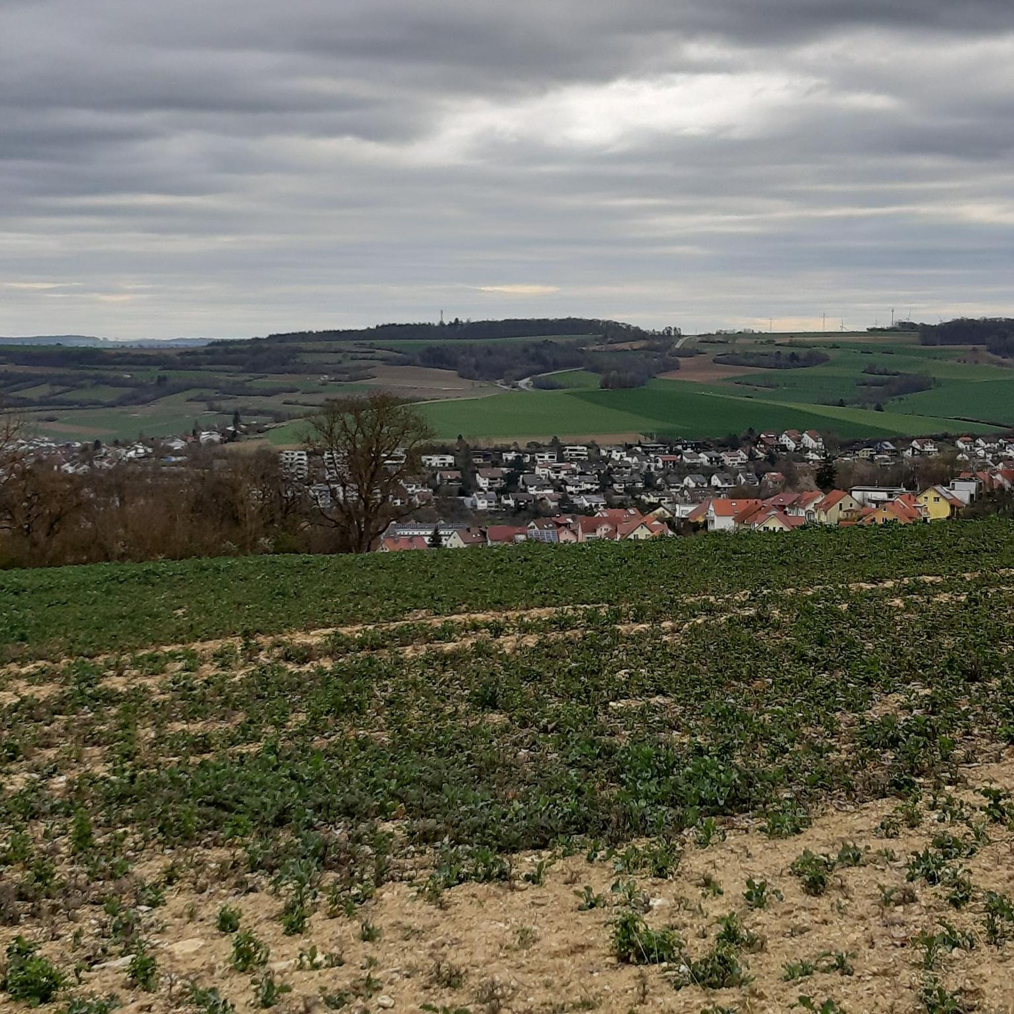
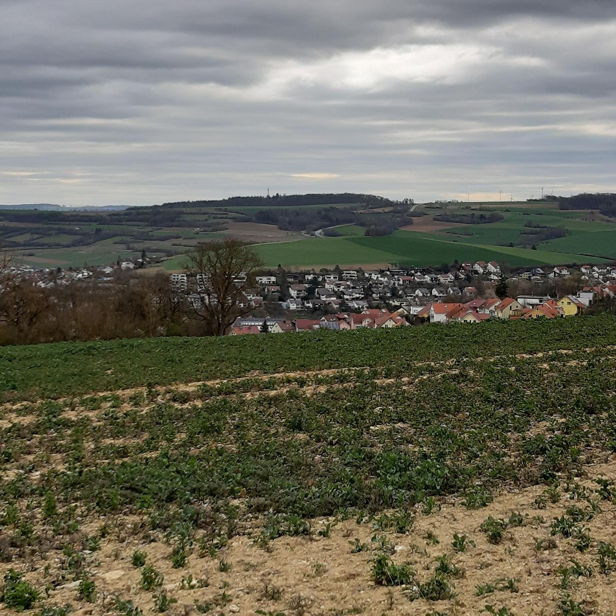
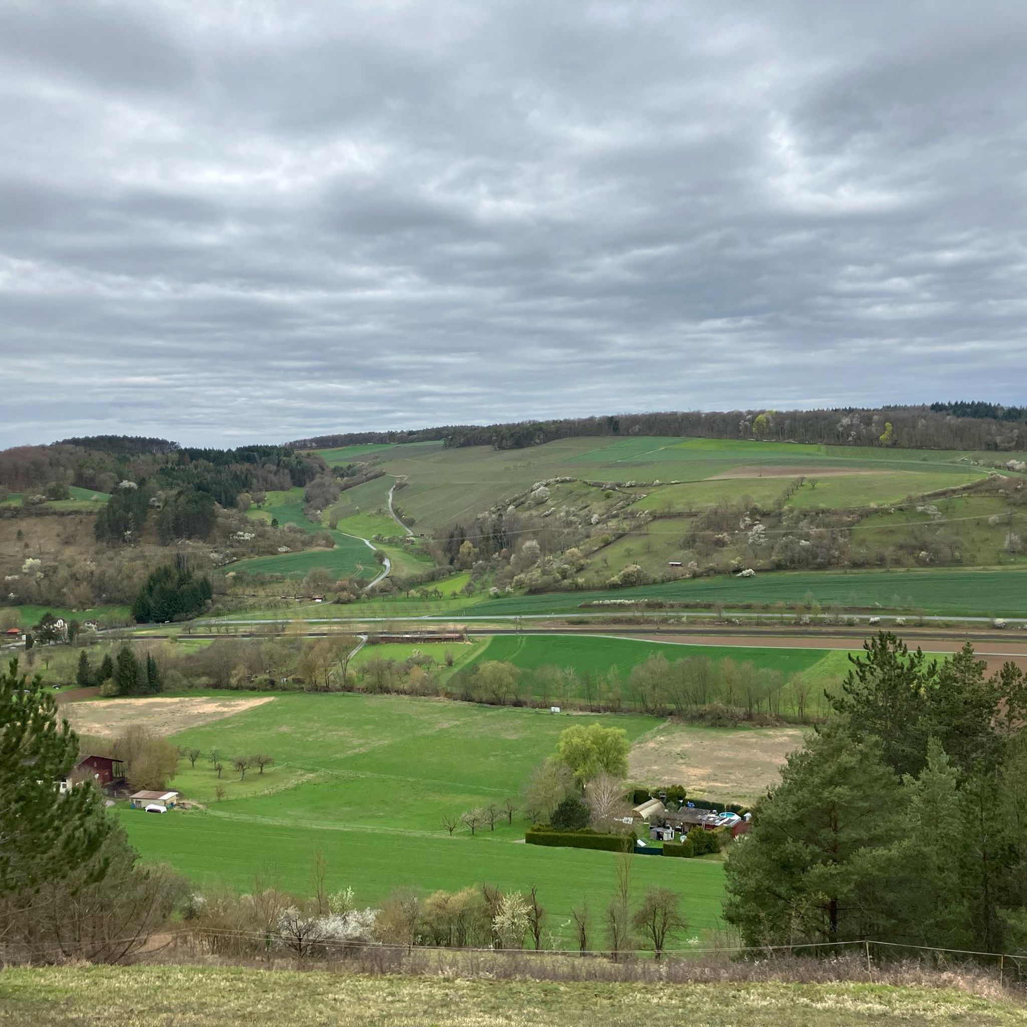
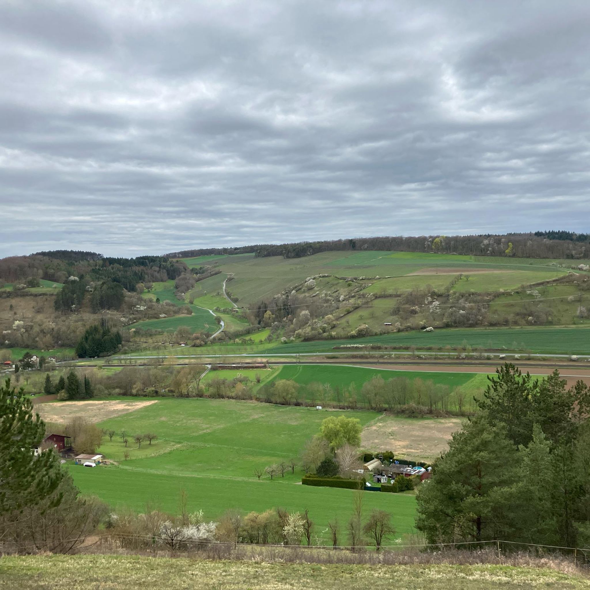
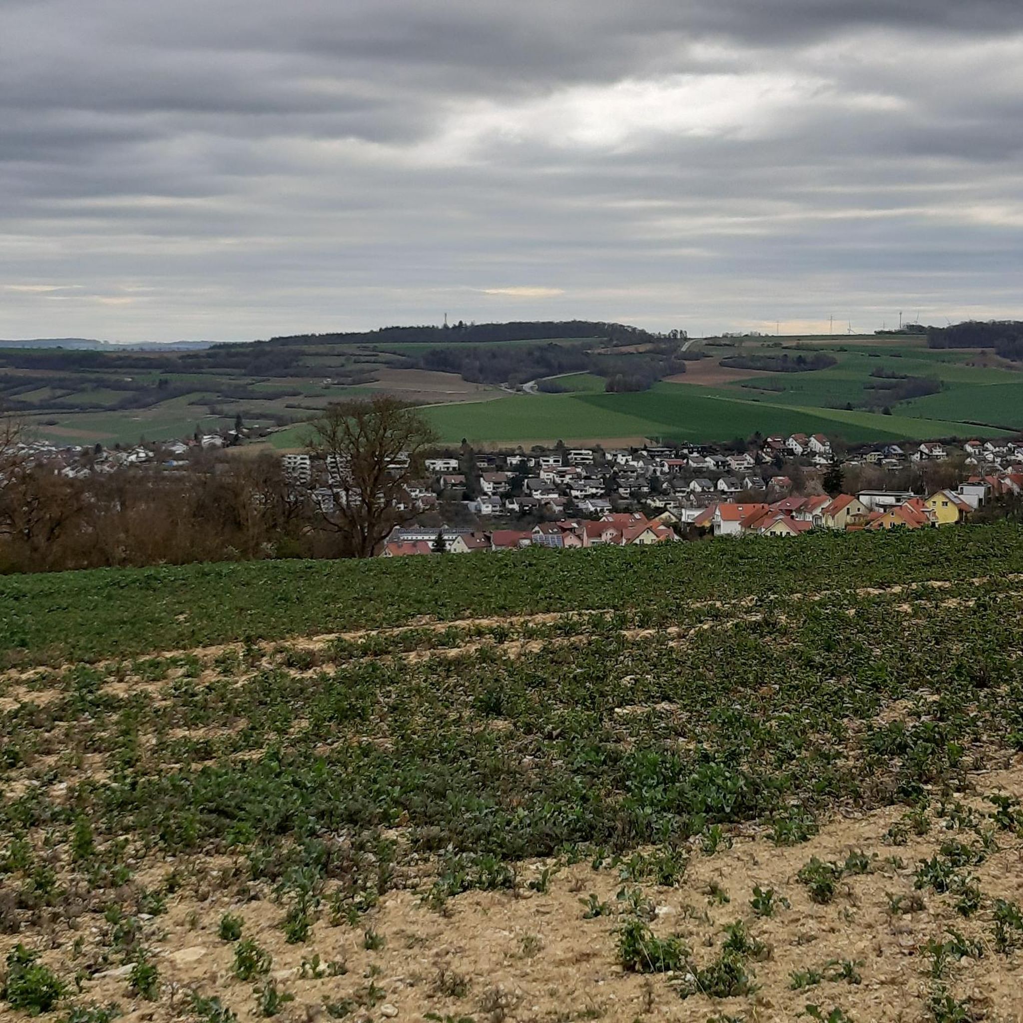
Gravel biking in Unterbürgerwald offers a diverse landscape for off-road cycling, characterized by a mix of woodlands, river valleys, and rolling hills. The region provides varied terrain for gravel bike trails, with elevations generally moderate, though some routes include climbs of over 600 meters. Natural features include sections along the Taubertal Cycle Path and extensive forested areas. This environment makes it suitable for a range of gravel biking experiences.
Best gravel bike trails in Unterbürgerwald
- The most popular gravel bike…
Last updated: July 17, 2026
5.0
(1)
1
riders
30.8km
02:11
490m
490m
Hard gravel ride. Very good fitness required. Mostly paved surfaces. Suitable for all skill levels.
4.0
(2)
6
riders
19.5km
01:17
330m
330m
Moderate gravel ride. Good fitness required. Mostly paved surfaces. Suitable for all skill levels.

Sign up for free
5.0
(2)
5
riders
25.8km
01:51
450m
450m
Moderate gravel ride. Good fitness required. Mostly paved surfaces. Suitable for all skill levels.
5.0
(2)
9
riders
22.6km
01:30
310m
310m
Moderate gravel ride. Good fitness required. Mostly paved surfaces. Suitable for all skill levels.
3.0
(1)
4
riders
12.8km
00:51
180m
180m
Moderate gravel ride. Good fitness required. Mostly paved surfaces. Suitable for all skill levels.
Get access to more routes and recommendations from other explorers.
Sign up for free
Already have an account?
Our route recommendations are based on thousands of hikes, rides, and runs completed by other people on komoot.
Start today with a free account
Your next adventure awaits.
Login or Signup
Tips from the Community

The pavilion at the entrance to the castle park on Deutschordenstraße is a charming eye-catcher and a popular spot for a short break during a walk through the historic park. Nestled in the manicured garden landscape, it offers a beautiful place to soak in the special atmosphere of the castle park.
4
0

St. Kilians Chapel with stream and a bench for resting
0
0

Beautiful pavilion in the castle park, you pass right by it.
3
0

Theobald Chapel The ruin of the Theobald Chapel stands mysteriously as the oldest structure in Edelfingen, west of the village on the mountain ridge in front of the Theobaldswald. The west gable, which still exists today, is a listed building. It is probably the remnant of a former pilgrimage chapel. Unfortunately, there are no clear sources indicating the origin of this church building. It is assumed that the church, originally about 20 by 10 meters in size and which also had a tower, was built between 1150 and 1350. Perhaps there was once a Celtic refuge castle here that was driven out by the Alemanni in the 5th century. Found on the Edelfingen village website. https://edelfingen.com/ueber-uns/
0
0

Easy trail for speeding downhill. Single Trail S0
0
0

At the edge of the park towards the main road
1
0

Bicycle and hiking bridge over the Tauber River. Beautiful view of the Tauber.
3
0
Frequently Asked Questions
What kind of terrain can I expect on gravel bike trails in Unterbürgerwald?
Unterbürgerwald offers a diverse landscape for gravel biking, characterized by a mix of woodlands, river valleys, and rolling hills. You'll find varied terrain, including sections along the Taubertal Cycle Path and through dense forested areas. Elevations are generally moderate, though some routes feature climbs of over 600 meters.
Are there gravel bike trails suitable for beginners in Unterbürgerwald?
While many routes in Unterbürgerwald are rated moderate to difficult, there are options that cater to varying skill levels. For a moderately challenging ride, consider the Taubertal Cycle Path – Tauber Weir in Edelfingen loop from Edelfingen, which covers 22.3 km with manageable elevation.
What are some notable natural features or landmarks to see along the gravel routes?
The region boasts several interesting points. You might encounter the historic Bridge over the Tauber, cycle along the scenic Riedwiesen Path, or pass through the Ringelstaler-Weinhalde Nature Reserve. The Edelfingen Singletrail also offers a unique riding experience.
How long do gravel bike rides typically take in Unterbürgerwald?
The duration of your ride will depend on the chosen route and your pace. For example, the Flow Trail to Edelfingen – Taubertal Cycle Path loop from Bad Mergentheim, a difficult 62.1 km trail, typically takes around 4 hours and 18 minutes. Shorter, moderate routes like the Teutonic Order Museum – Burgallee singletrack loop from Bad Mergentheim can be completed in about 1 hour and 36 minutes.
Are there any challenging gravel bike routes for experienced riders?
Yes, Unterbürgerwald offers several challenging routes. The Marketplace Weikersheim – Markelsheim Historic Town Hall loop from Bad Mergentheim is a difficult 45.1 km path with significant climbs and descents, popular among experienced gravel bikers.
What is the best time of year for gravel biking in Unterbürgerwald?
The region is generally pleasant for gravel biking from spring through autumn. Spring offers lush greenery, while autumn provides beautiful foliage. Summers are also suitable, but it's always advisable to check local weather conditions, especially for potential heat or rain.
Are there circular gravel bike routes available in Unterbürgerwald?
Many of the gravel bike trails in Unterbürgerwald are designed as loops, allowing you to start and end at the same point. Examples include the Flow Trail to Edelfingen – Taubertal Cycle Path loop from Bad Mergentheim and the Edelfingen Singletrail – Taubertal Cycle Path loop from Bad Mergentheim.
How do other gravel bikers rate the trails in Unterbürgerwald?
The gravel bike trails in Unterbürgerwald are highly regarded by the komoot community, holding an impressive average rating of 4.8 stars from over 20 reviews. Many riders praise the varied terrain, scenic river valleys, and well-maintained paths through woodlands and rolling hills.
Is public transport available to access the gravel bike trails in Unterbürgerwald?
Unterbürgerwald is located in Baden-Württemberg, a region with a good public transport network. While specific trailheads might require a short ride, towns like Bad Mergentheim, often starting points for routes, are generally accessible by train or bus, making it possible to reach the area without a car.
Are there options for family-friendly gravel biking in the area?
While many routes are moderate to difficult, families can find sections of the Taubertal Cycle Path that are flatter and more suitable for a relaxed ride. Look for shorter, less elevated sections, especially those away from the main climbs, for a more enjoyable family experience.
Can I find places to eat or stay near the gravel bike trails?
The Unterbürgerwald region, being part of Baden-Württemberg, has various towns and villages like Bad Mergentheim and Weikersheim that offer cafes, restaurants, and accommodation options. These towns often serve as starting points for gravel routes, making it convenient to find refreshments or lodging.
What are the typical elevation gains on gravel bike routes in Unterbürgerwald?
Elevation gains vary significantly across the region's routes. While the terrain includes rolling hills, some difficult trails feature substantial climbs. For instance, the Flow Trail to Edelfingen – Taubertal Cycle Path loop from Bad Mergentheim has an elevation gain of over 600 meters, while moderate routes like the Taubertal Cycle Path – Tauber Weir in Edelfingen loop from Edelfingen have around 390 meters of ascent.
Most popular routes in Unterbürgerwald
Most popular attractions in Unterbürgerwald

Get inspired with the komoot mobile app


Explore more
Browse the best Gravel rides in other regions.
