The best gravel rides around Mirrormont
4.0
(16)
102
riders
9
rides
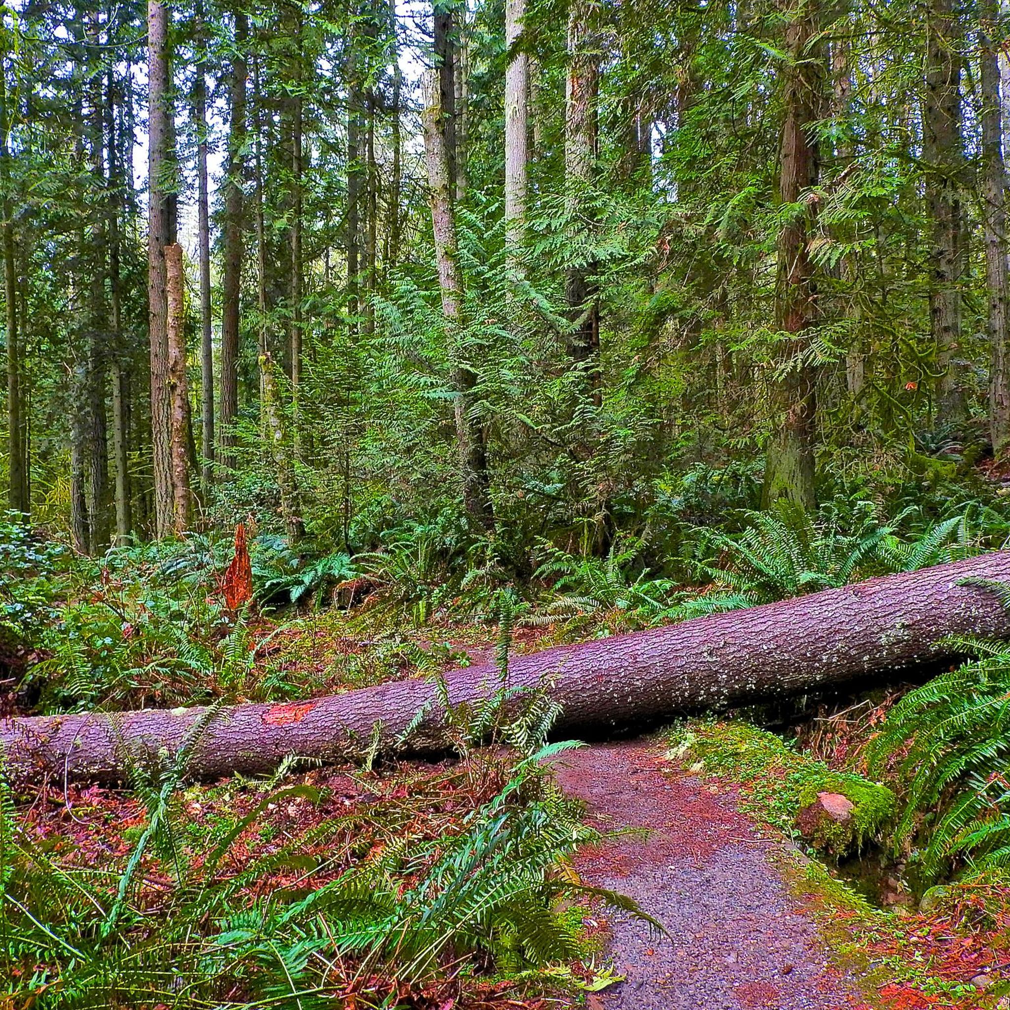
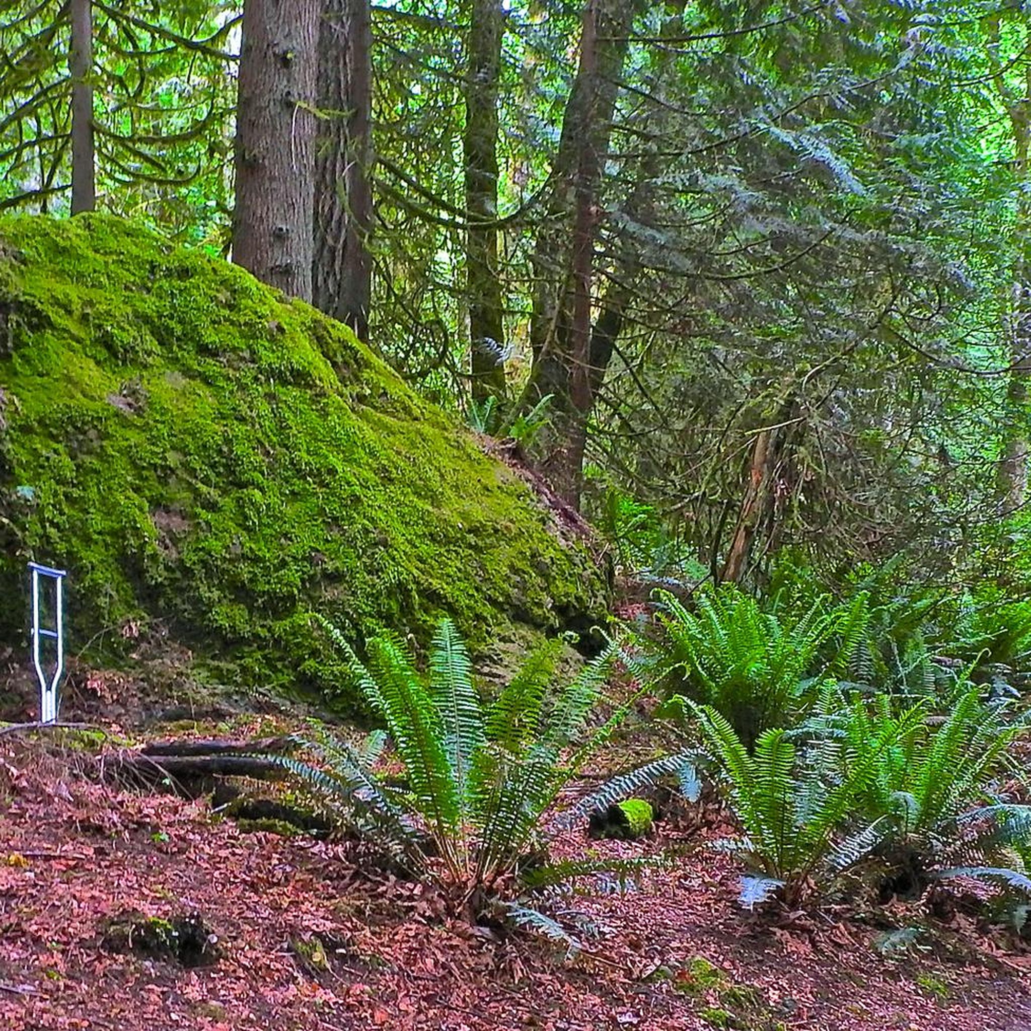
Gravel biking around Mirrormont offers varied terrain within the southwestern foothills of Tiger Mountain. The region is characterized by dense forests and a network of gravel roads and trails, including smooth sections, fire roads, and soft dirt singletracks. Riders can expect a mix of challenging climbs and scenic routes through this diverse environment. This commitment to preserving its natural, wooded landscape creates a serene backdrop for outdoor activities.
Best gravel bike trails around Mirrormont
- The most popular gravel bike trail…
Last updated: October 28, 2026
4.9
(11)
24
riders
36.5km
02:21
310m
310m
Moderate gravel ride. Good fitness required. Mostly paved surfaces.
18
riders
22.0km
01:33
190m
190m
Moderate gravel ride. Good fitness required. Mostly paved surfaces.

5.0
(1)
18
riders
26.8km
01:46
210m
210m
Moderate gravel ride. Good fitness required. Mostly paved surfaces.
9
riders
46.0km
02:56
340m
340m
Moderate gravel ride. Good fitness required. Mostly paved surfaces.
8
riders
62.9km
04:08
1,100m
1,100m
Hard gravel ride. Very good fitness required. Mostly paved surfaces.
Get access to more routes and recommendations from other explorers.
Already have an account?
Our route recommendations are based on thousands of hikes, rides, and runs completed by other people on komoot.
Start today with a free account
Your next adventure awaits.

Tips from the Community

A section of the trail is closed about three miles south of Landsburg. An unmarked detour is available on the pipeline road.
0
0
The trail is blocked by an iron gate. The trail runs over private property. Not recommended.
0
0

Landsburg Reach Natural Area comprises nine parcels totaling 24 acres, creating a serene sanctuary. While predominantly offering minimal public use, one parcel provides essential trail connections between Danville/Georgetown trails and the Cedar River Pipeline Road. The area holds potential for future acquisitions, promising expanded land support and opportunities for exploration.
0
0

Lake Wilderness is the largest lake in Maple Valley and has a namesake lodge that is designated a King County landmark.
0
0

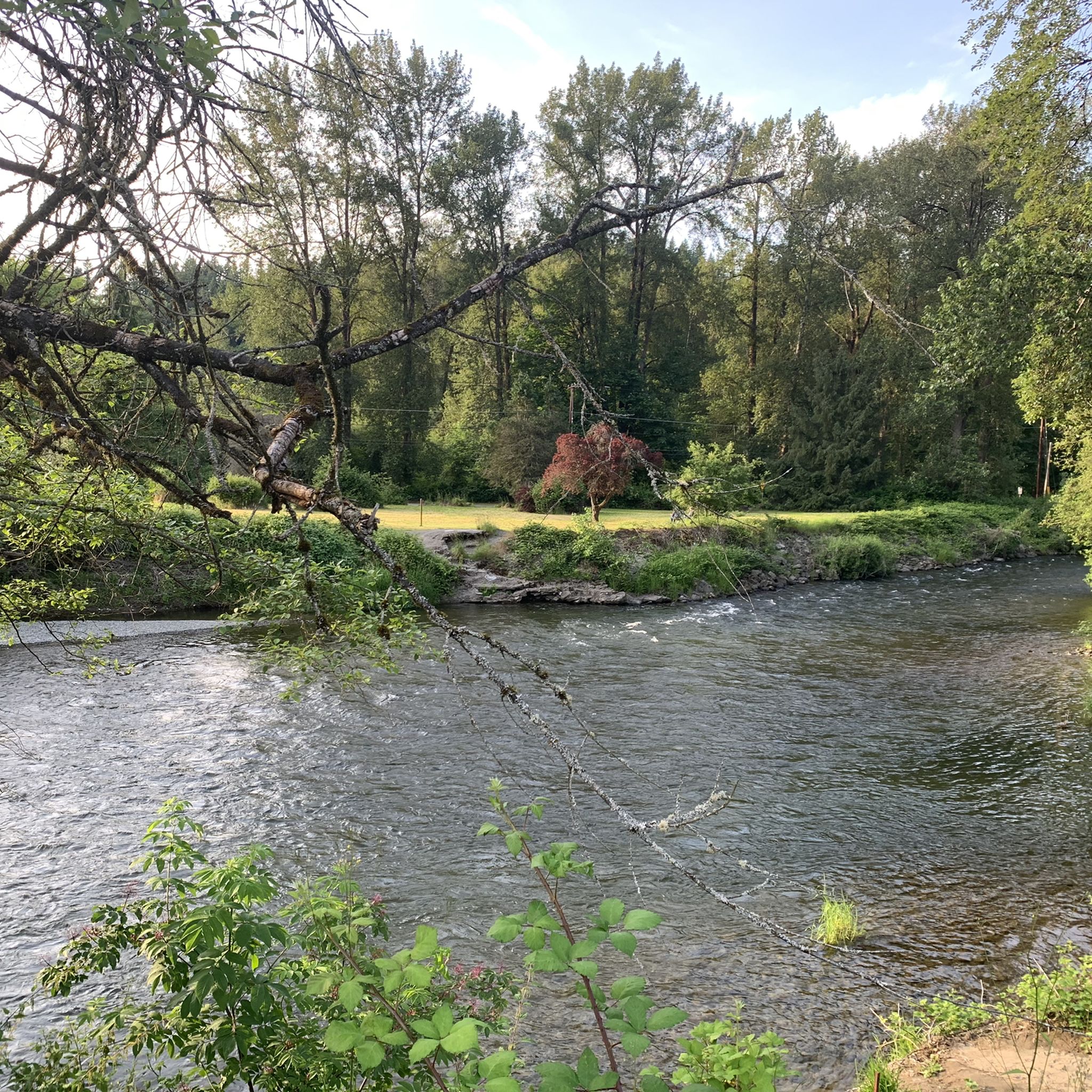
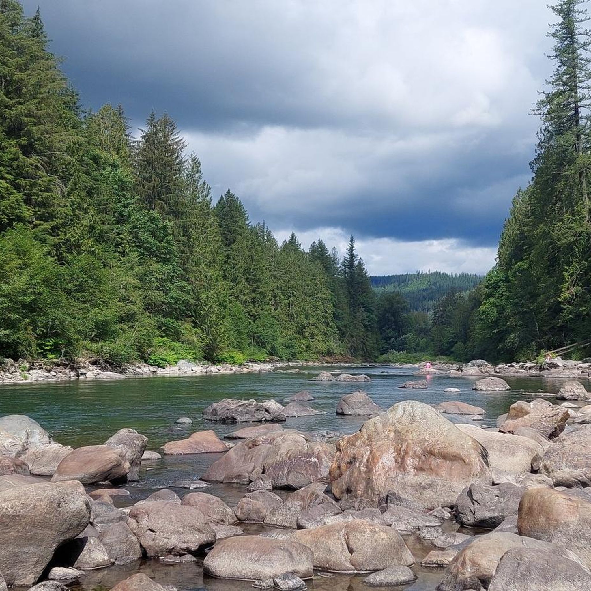
The Cedar River Trail travels through a mix of urban and rural areas. It was built on a former railroad and roadside bicycle paths connecting the two. The trail spans 17.4 miles, starting at the Cedar River Watershed boundary in Landsburg and ending where the river meets Lake Washington in Renton. Cyclists and hikers can explore the river, cross bridges, and access natural areas. It also offers scenic views and convenient stops, with cyclists limited to certain speeds in specific sections.
0
0

When they are open, this is a perfect rest stop on any day out. The Cedar River trail is right across the street.
0
0
Fun to cross all the bridges that you find along this trail - and great photo opportunities!
0
0
Poo Poo Point Trailhead is a popular spot to start an adventure. In this parking area, there are a few porta potties, trash cans, and ample parking. Hang gliders sometimes take off from these mountains, so you could spot a few in the air. Poo Poo Point is open to hikers or mountain bikers, but the sign in the parking lot can be accessed by road bikes or regular tour bikes for a photo opportunity with the "Poo Poo Point" sign that might give you a good laugh.
0
0
Frequently Asked Questions
What types of terrain can I expect on gravel bike trails around Mirrormont?
The Mirrormont area offers a diverse range of gravel biking terrain. You'll encounter smooth gravel roads like sections of the West Side Road, challenging gravel fire roads, power line access roads, and even soft dirt singletracks. Some routes may also feature historic brick roads, providing a varied experience for different skill levels.
Are there any easy gravel bike trails suitable for beginners in Mirrormont?
Yes, Mirrormont offers some easier gravel routes. While many trails involve challenging climbs, there are options that provide a more balanced experience. For example, the Lake Wilderness – Cedar River Trail loop from Maple Valley is a moderate route that offers a balanced gravel experience through natural areas, suitable for those looking for a less strenuous ride.
What are some notable natural features or viewpoints along the gravel routes?
The Mirrormont area is rich in natural beauty. From various points, especially within Tiger Mountain, you can enjoy scenic views of Mount Rainier. A significant landmark is Squak Mountain Central Peak, and the famous Poo Poo Point, a paragliding launch site on Tiger Mountain, offers rewarding views at its summit after a challenging climb. You'll also ride through dense forests within the Tiger Mountain State Forest ecosystem.
How many gravel biking routes are available in the Mirrormont area?
There are over 10 gravel biking routes available around Mirrormont, catering to various fitness and skill levels. These include a mix of easy, moderate, and difficult trails, ensuring there's something for everyone.
What do other gravel bikers say about the trails in Mirrormont?
The gravel biking routes in Mirrormont are highly regarded by the komoot community, with an average rating of 3.9 stars from over 16 reviews. Many riders praise the varied terrain, the challenging climbs, and the immersive experience of riding through dense forests.
Are there any long-distance gravel routes for endurance riders?
Absolutely. For those seeking a longer ride, the Cedar River Trail – Cedar River Trail loop from Maple Valley is a popular choice. This moderate 38.4-mile (61.8 km) path provides extensive gravel riding along the Cedar River, ideal for endurance cyclists.
Can I find loop trails for gravel biking in Mirrormont?
Yes, many of the gravel biking routes in Mirrormont are designed as loops, allowing you to start and end at the same point. Examples include the Lake Wilderness – Cedar River Trail loop from Maple Valley and the Cedar River Trail – Cedar River loop from Cedar Grove Road Natural Area.
What is the best time of year for gravel biking in Mirrormont?
The Mirrormont area offers year-round gravel biking opportunities. While logging roads are generally open throughout the winter, conditions can vary. The West Side Road, for instance, remains rideable in winter. However, it's always advisable to check local conditions, especially after heavy rain, as some sections might become soft or muddy. Spring and fall generally offer pleasant temperatures and vibrant scenery.
Are there any challenging routes for advanced gravel cyclists?
Yes, Mirrormont is known for its challenging climbs and varied terrain, making it suitable for advanced riders. Routes like the 'Poo Poo Point Gravel Ride' on Tiger Mountain require a gravel-suitable bike with wider tires and offer a significant climbing workout. The Issaquah Preston Trail – Issaquah Preston Trail loop from Cottonwood Natural Area is another difficult option, featuring substantial elevation gain.
Are there any specific permits required for gravel biking in the Mirrormont area?
Generally, no specific permits are required for gravel biking on the public trails and logging roads around Mirrormont. However, it's always good practice to check the Washington State Department of Natural Resources (DNR) website for any specific area closures or regulations, especially concerning logging roads which may be subject to temporary closures for timber harvest. You can find more information on the DNR website: dnr.wa.gov.
What are the typical durations for gravel bike rides in Mirrormont?
Ride durations vary significantly based on the route length and your pace. Shorter, moderate routes like the Cedar River Trail – Cedar River loop from Cedar Grove Road Natural Area can be completed in under 2 hours, while longer endurance rides such as the Cedar River Trail – Cedar River Trail loop from Maple Valley can take over 4.5 hours.
Most popular attractions around Mirrormont

Get inspired with the komoot mobile app


Explore more
Browse the best Gravel rides in other regions.
