The best gravel rides around Sterling Ranch
4.9
(21)
466
riders
31
rides
Gravel biking around Sterling Ranch provides access to an extensive trail network situated at the base of the Rocky Mountain foothills. The region features over 1,300 acres of dedicated open space, characterized by rolling hills and native landscaping. Adjacent to Sterling Ranch are Chatfield State Park, with its 1,400-acre reservoir and natural areas, and Roxborough State Park, known for its red rock formations. These areas offer varied terrain, including dirt and gravel paths suitable for gravel cycling.
Best gravel bike…
Last updated: July 26, 2026
5.0
(2)
32
riders
Hard gravel ride. Very good fitness required. Mostly paved surfaces. Suitable for all skill levels.
23
riders
Moderate gravel ride. Good fitness required. Mostly paved surfaces. Suitable for all skill levels.

Sign up for free
20
riders
Moderate gravel ride. Good fitness required. Mostly paved surfaces. Suitable for all skill levels.
18
riders
Moderate gravel ride. Good fitness required. Mostly paved surfaces. Suitable for all skill levels.
5.0
(1)
21
riders
40.7km
02:30
190m
190m
This 25.3-mile (40.7 km) gravel biking loop from Ken Caryl offers a moderate ride with 628 feet (191 metres) of elevation gain, taking about 2 hours and 29 minutes to…
Get access to more routes and recommendations from other explorers.
Sign up for free
Already have an account?
Our route recommendations are based on thousands of hikes, rides, and runs completed by other people on komoot.
Start today with a free account
Your next adventure awaits.
Login or Signup
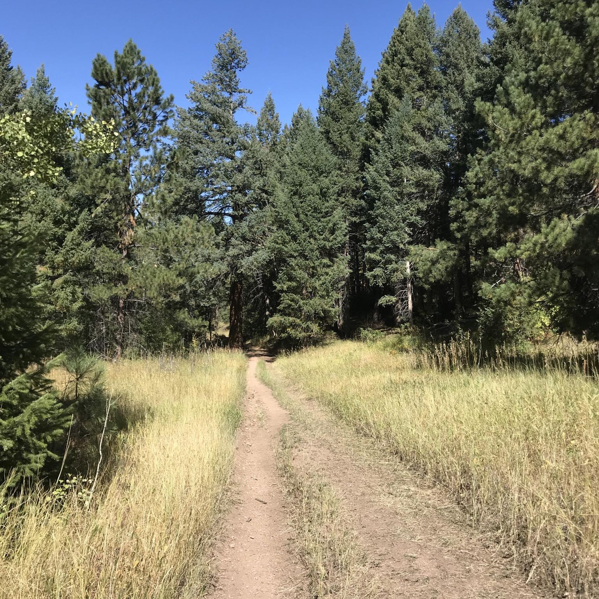
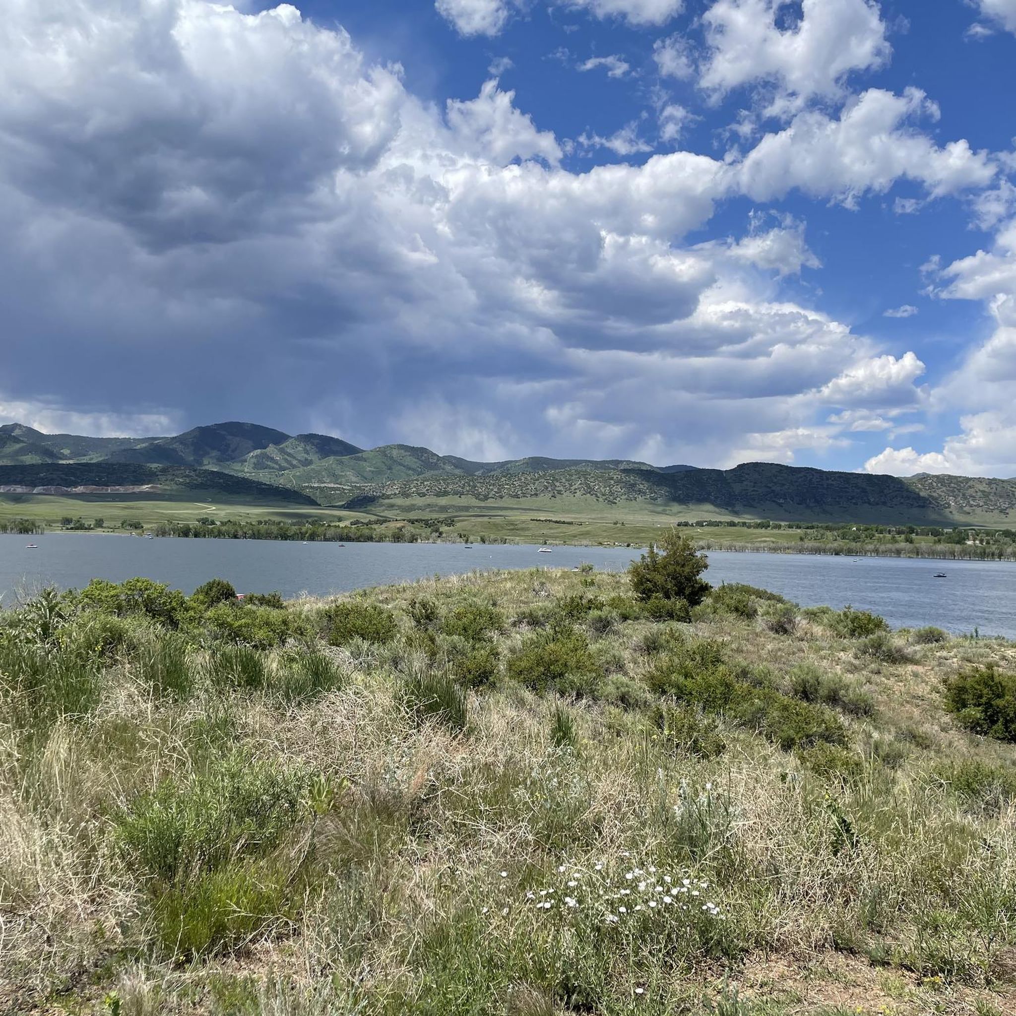
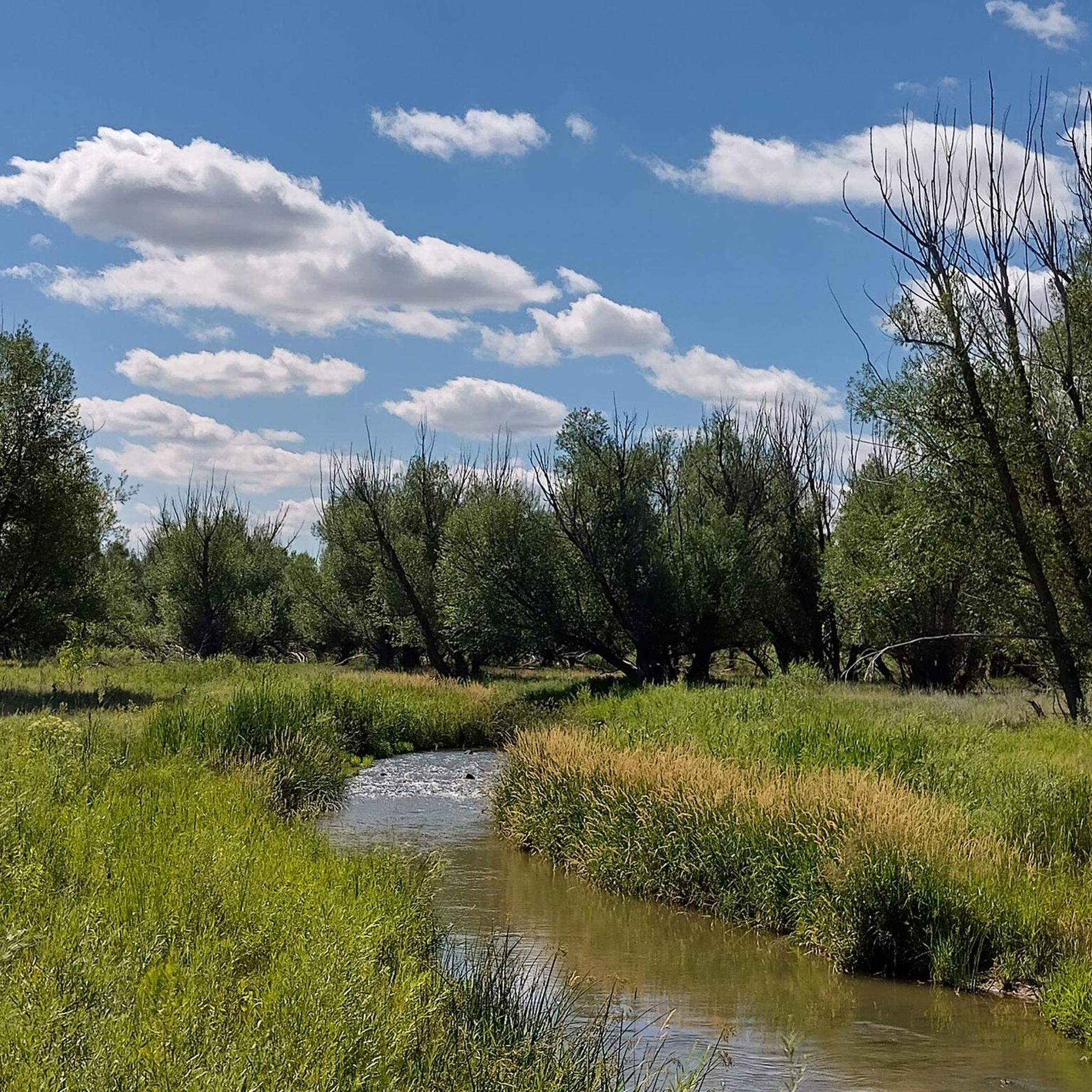
Tips from the Community


A fun little bike park that features two lines. One with smaller jumps and one with bigger hits.
0
0


The Goodson Center is a large recreation center with a large park behind it that serves as the main access point and trailhead for the High Line Canal Trail. There is ample parking and restrooms.
0
0

View from the gravel section of the Dam Trail. Nice views of the foothills and the suburbs from the Dam Trail.
0
0
Great view of the Front Range, always at good spot to stop and take in the view.
0
0

This is a relatively gentle multi-use trail; you could probably get by with a gravel bike, but it's definitely not made for skinny tires. Altogether the trail is about 27 miles one-way, and there are easily a half-dozen trail connectors to help you shape the perfect ride.
0
0

This point marks the intersection and trailhead for the Lee Gulch Trail and the Mary Carter Trail. This major trail junction is along the shores of the South Platte River and is a great resting spot or a spot to visit with the family.
0
0
Frequently Asked Questions
How many gravel bike trails are available around Sterling Ranch?
There are over 30 gravel bike trails available around Sterling Ranch, offering a variety of experiences for different skill levels. These routes are highly rated by the komoot community, with an average score of 4.2 stars.
What kind of terrain can I expect on gravel bike trails near Sterling Ranch?
The terrain around Sterling Ranch is diverse, featuring rolling hills, native landscaping, and breathtaking views at the base of the Rocky Mountain foothills. You'll encounter a mix of dirt and gravel paths, with some routes like the Highlands Point Viewpoint – East/West Regional Trail loop from Spring Gulch Dam also including sections of road and singletrack for a varied experience.
What do other gravel bikers enjoy most about the trails in Sterling Ranch?
The komoot community highly rates the gravel biking around Sterling Ranch, with an average score of 4.2 stars from over 10 reviews. Riders often praise the extensive trail network, the stunning natural landscapes, and the access to major state parks like Chatfield State Park, which offers extensive views of the South Platte Reservoir.
Are there gravel bike trails suitable for beginners or families in Sterling Ranch?
Yes, Sterling Ranch offers several easy and moderate gravel bike trails suitable for beginners and families. Many of the community trails are designed for walking, running, and biking, providing accessible options. While specific 'easy' routes are available, even moderate routes like Lake views – South Platte Reservoir loop from Littleton - Mineral can be enjoyed by those looking for a less strenuous ride.
Are there options for more experienced gravel bikers looking for a challenge?
Absolutely. For experienced gravel bikers seeking a challenge, routes like the Highlands Point Viewpoint – East/West Regional Trail loop from Spring Gulch Dam are classified as difficult, featuring significant elevation gain and varied terrain. The region's ability to connect to larger networks like Waterton Canyon and the Colorado Trail Segment 1 also expands possibilities for advanced rides.
What natural features or landmarks can I see while gravel biking around Sterling Ranch?
While gravel biking around Sterling Ranch, you can enjoy stunning views of the Rocky Mountain foothills, rolling hills, and native landscaping. Many routes offer views of the 1,400-acre Chatfield Reservoir and the South Platte Reservoir. You might also pass by the Chatfield Dam Trail and the South Platte River, offering picturesque natural scenery.
Are there any loop trails for gravel biking in Sterling Ranch?
Yes, many gravel bike routes around Sterling Ranch are designed as loops, allowing you to start and end at the same point. Examples include the Lake views – South Platte Reservoir loop from Littleton - Mineral and the Start of the Colorado Trail – View from Chatfield Dam loop from Kassler trailhead, providing convenient circular routes.
What is the best season for gravel biking around Sterling Ranch?
Sterling Ranch benefits from clear blue skies for much of the year, making spring, summer, and fall excellent seasons for gravel biking. The varied terrain and proximity to state parks mean conditions can change, so it's always a good idea to check local weather and trail conditions before heading out, especially during shoulder seasons.
Is there parking available for gravel bike trails in Sterling Ranch?
Yes, parking is generally available at various trailheads and access points around Sterling Ranch and its adjacent state parks. For routes starting from specific locations like Littleton - Mineral or Kassler trailhead, you can typically find designated parking areas to begin your ride.
Can I access gravel bike trails near Sterling Ranch using public transport?
While Sterling Ranch is primarily designed for car access, some trailheads may be reachable via regional public transport options, particularly those closer to Littleton. It's recommended to check local RTD (Regional Transportation District) schedules and routes for the most up-to-date information on public transport access to specific trail starting points.
Are there any cafes or places to eat near the gravel bike trails in Sterling Ranch?
Sterling Ranch is a developing community with amenities. While specific cafes directly on the trails might be limited, the community itself and nearby towns like Littleton offer various dining options and cafes where you can refuel before or after your ride.
What are some longer gravel bike routes available in the area?
For longer rides, you can explore routes that connect to the broader regional network. The Highlands Point Viewpoint – East/West Regional Trail loop from Spring Gulch Dam is a substantial 34.2-mile (55.0 km) route. Other options like the Lake views – South Platte Reservoir loop from Littleton - Mineral also offer significant distances, typically taking over 3 hours to complete.
Most popular attractions around Sterling Ranch

Get inspired with the komoot mobile app


Explore more
Browse the best Gravel rides in other regions.
