The best gravel rides around Security-Widefield
5.0
(1)
44
riders
5
rides
Gravel biking around Security-Widefield offers diverse landscapes and access to an extensive trail system within the Colorado Springs Metropolitan Area. The region features a blend of accessible parks and routes with mountain backdrops, including views of Pikes Peak and the Front Range. Riders can encounter wetlands, reservoirs, and red rock formations, providing varied terrain for gravel cycling. The area's natural features, such as Fountain Creek Regional Park, contribute to its appeal for outdoor activities.
Best gravel bike trails around Security-Widefield
…Last updated: October 1, 2026
15
riders
Hard gravel ride. Very good fitness required. Mostly paved surfaces. Suitable for all skill levels.
10
riders
Moderate gravel ride. Good fitness required. Mostly paved surfaces. Suitable for all skill levels.

6
riders
Easy gravel ride. Great for any fitness level. Mostly paved surfaces. Suitable for all skill levels.
5.0
(1)
7
riders
13.5km
00:43
70m
70m
Easy gravel ride. Great for any fitness level. Mostly paved surfaces. Suitable for all skill levels.
3
riders
36.3km
02:26
460m
460m
Hard gravel ride. Very good fitness required. Mostly paved surfaces. Suitable for all skill levels.
Our route recommendations are based on thousands of hikes, rides, and runs completed by other people on komoot.
Start today with a free account
Your next adventure awaits.
Tips from the Community

One of several bridges along the Fountain Creek Regional Trail. There is a good view of the creek as you are passing over it.
0
0
The Pikes Peak Greenway is a 16‑mile multi-use corridor that follows Monument Creek. The trail is a mix of pavement and dirt and is not too challenging.
1
0
Great view of the Pikes Peak range from the Pikes Peak Greenway.
0
0


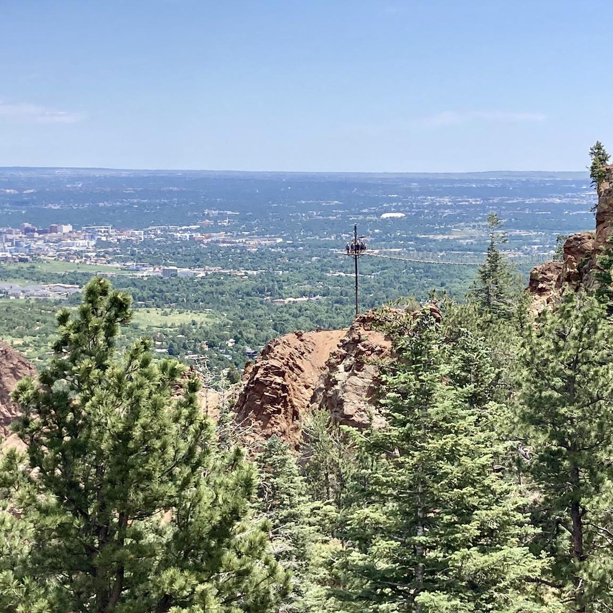
This trail primarily consists of softer dirt terrain with enjoyable elevation changes. Located on the outer edge of the Red Rock Rocks Open Space, it offers a full range view of the stunning rock formations against the backdrop of Pikes Peak.
0
0

Bear Creek is a beautiful creek and home to the only remaining genetically pure, self-sustaining population of greenback cutthroat trout, which is the state fish of Colorado.
0
0
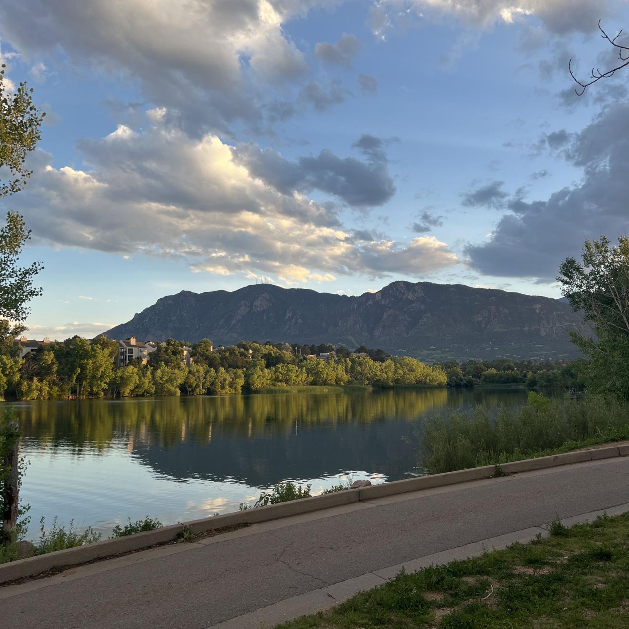
Fishing is a common sight in this area, where people often catch bluegill, rainbow trout, and channel catfish. The scenic views of the pond along the trail create a peaceful ride.
1
0
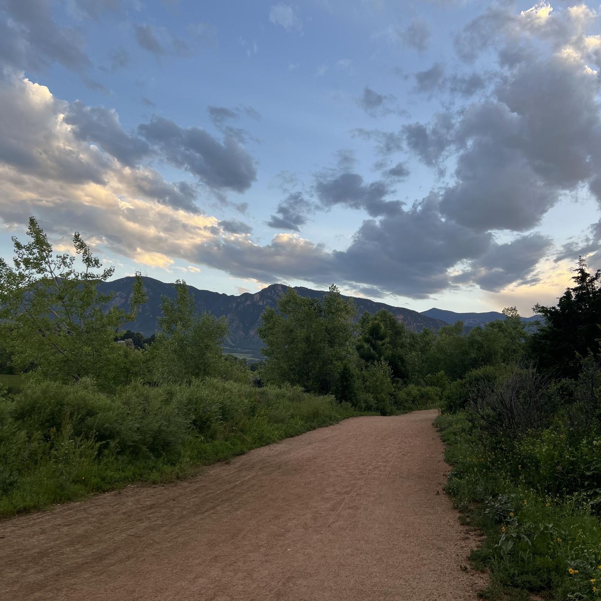
This relatively flat trail winds its way along the Fountain Creek through the Security area, providing pleasant views of the creek and the Front Range as you ride.
0
0
Frequently Asked Questions
What kind of terrain can I expect on gravel bike trails around Security-Widefield?
Gravel biking around Security-Widefield offers diverse landscapes. You'll find a mix of paved and unpaved segments, especially along multi-use trails like the Fountain Creek Regional Trail. Routes can feature wetlands, reservoirs, and red rock formations, with scenic mountain backdrops including views of Pikes Peak and the Front Range. Some trails follow historic routes like Gold Camp Road, providing a unique blend of history and natural beauty.
Are there any family-friendly gravel bike routes in the Security-Widefield area?
Yes, the region offers options suitable for families. The Fountain Creek Regional Trail, for instance, has segments that are relatively easy and accessible. While specific family-designated routes aren't listed, many multi-use trails provide a gentler experience. For a moderate option, consider the Fountain Creek Regional Trail – Willow Springs Ponds loop, which is 21.3 miles long and passes by scenic ponds.
What are the best times of year to go gravel biking in Security-Widefield?
Security-Widefield experiences all four seasons. Spring and fall are generally ideal for gravel biking due to mild temperatures and pleasant conditions. Summers can be warm with potential thunderstorms, while winters bring snow, which might affect trail conditions. Always check local weather forecasts before heading out, especially during seasonal transitions.
Are there any notable natural features or landmarks to see along the gravel bike trails?
Absolutely. Many routes offer stunning views of Pikes Peak and the Front Range. The Fountain Creek Regional Trail passes through areas rich in biodiversity, including wetlands, ponds, and cottonwood forests, making it excellent for wildlife viewing. You might also encounter unique red rock formations, especially if your route takes you near areas like Garden of the Gods. Specific highlights nearby include Cheyenne Mountain State Park and various lakes like Gold Camp Reservoir.
Where can I find parking for gravel bike trails in Security-Widefield?
Parking is generally available at key access points for popular trails. For instance, Fountain Creek Regional Park offers parking facilities, providing access to the extensive Fountain Creek Regional Trail system. For other trails, it's advisable to check specific trailhead information or local park websites for designated parking areas.
Are there any loop routes available for gravel biking?
Yes, several routes are designed as loops, allowing you to start and end at the same point. For example, the Fountain Creek Regional Trail – Uintah street bridge loop is a moderate 38.3-mile option that includes views of the Front Range. Another loop is the Pikes Peak Greenway – New Santa Fe Regional Trail loop, covering 45.3 miles.
What do other gravel bikers enjoy most about the trails in Security-Widefield?
The area is highly rated by the komoot community, with an average score of 5.0 stars. Reviewers often praise the diverse landscapes, the extensive trail systems, and the scenic mountain backdrops. The blend of accessible parks and more challenging routes, along with views of Pikes Peak and the Front Range, are frequently highlighted as key attractions.
Are there any particularly challenging gravel bike routes for experienced riders?
Yes, for more experienced riders seeking a challenge, the New Sante Fe Regional Trail – Pikes Peak Greenway loop is classified as difficult. This 37.7-mile trail leads through varied terrain and involves significant elevation gain, often taking around 4 hours and 33 minutes to complete.
Can I bring my dog on the gravel bike trails?
Many multi-use trails in the Security-Widefield area, including sections of the Fountain Creek Regional Trail, are generally dog-friendly. However, specific rules regarding leashes and waste disposal may vary by park or trail section. It's always best to check the regulations of the specific park or trail you plan to visit to ensure a pleasant experience for everyone.
Are there any cafes or restaurants near the gravel biking routes?
Security-Widefield's proximity to Colorado Springs means there are various amenities available. While specific cafes directly on the trails might be limited, you'll find options in the surrounding communities. For example, near Fountain Creek Regional Park, there are restaurants and cafes within a short distance, perfect for a post-ride refreshment.
What is the typical elevation gain on gravel bike routes in this area?
The elevation gain varies significantly depending on the route. Easier loops might have around 150-200 meters (500-650 feet) of elevation gain, such as the Pikes Peak Greenway Trail – Pikes Peak Greenway loop. More challenging routes, like the New Sante Fe Regional Trail – Pikes Peak Greenway loop, can feature over 450 meters (1,475 feet) of ascent, offering a more strenuous workout.
Most popular routes around Security-Widefield
Most popular attractions around Security-Widefield

Get inspired with the komoot mobile app


Explore more
Browse the best Gravel rides in other regions.
