The best gravel rides around Zayante
13
riders
4
rides
Gravel bike trails around Zayante traverse the diverse landscapes of the Santa Cruz Mountains, characterized by towering redwood forests, unique sandhills, and winding waterways. The region offers varied terrain, from rolling climbs through rural areas to steeper, more isolated paths. Riders encounter frequent creek crossings and a mix of semi-packed dirt and chunky rock surfaces. This area provides a range of routes suitable for gravel biking enthusiasts.
Best gravel bike trails around Zayante
- The most popular gravel bike trail is…
Last updated: May 16, 2026
4
riders
Moderate gravel ride. Good fitness required. Mostly paved surfaces. Suitable for all skill levels.
4
riders
57.7km
04:28
1,140m
1,140m
Hard gravel ride. Very good fitness required. Mostly paved surfaces. Suitable for all skill levels.

Sign up for free
3
riders
Moderate gravel ride. Good fitness required. Mostly paved surfaces. Suitable for all skill levels.
2
riders
13.4km
01:07
310m
310m
Moderate gravel ride. Good fitness required. Mostly paved surfaces. Suitable for all skill levels.
Our route recommendations are based on thousands of hikes, rides, and runs completed by other people on komoot.
Start today with a free account
Your next adventure awaits.
Login or Signup

Tips from the Community

This is a coastal redwood, not a Sequoia redwood which is a different species found inland.
0
0

Also known as "fairy rings", Cathedral trees are found in a circle where they sprouted from the roots of their parent tree. Over time the Redwoods grow to incredible heights which invokes a sense of another type of Cathedral.
0
0

Redwood trees are some of the tallest and oldest living organisms on Earth. Towering up to 350 feet, these majestic trees can live for over 2,000 years. Found primarily along the coast of Northern California, redwoods thrive in the cool, foggy climate. Their thick, reddish bark provides protection from fire and insects, making them incredibly resilient. Walking among these giants is a humbling experience, with their sheer size and age creating an awe-inspiring atmosphere.
0
0
Gazos Creek Road in Big Basin is a peaceful trail that immerses you in the beauty of the Santa Cruz Mountains. As you hike, you'll walk through towering redwoods and dense forest, with the sound of the creek nearby adding to the calming atmosphere. The trail offers a quiet escape, with less foot traffic, allowing you to fully experience the area's natural serenity. It’s a great choice for those looking to enjoy a more remote, scenic part of Big Basin while staying connected to nature.
0
0

The Indian Creek Railroad Bridge was once part of a rail system used to transport lumber and goods from the surrounding redwood forests. Today, it stands as a reminder of the region’s industrial past. While the bridge is not accessible to pedestrians, it can be viewed from nearby trails.
0
0
Great ride along the ridgeline. There's some steep sections, nice views, and a good chance to spot some wildlife.
0
0

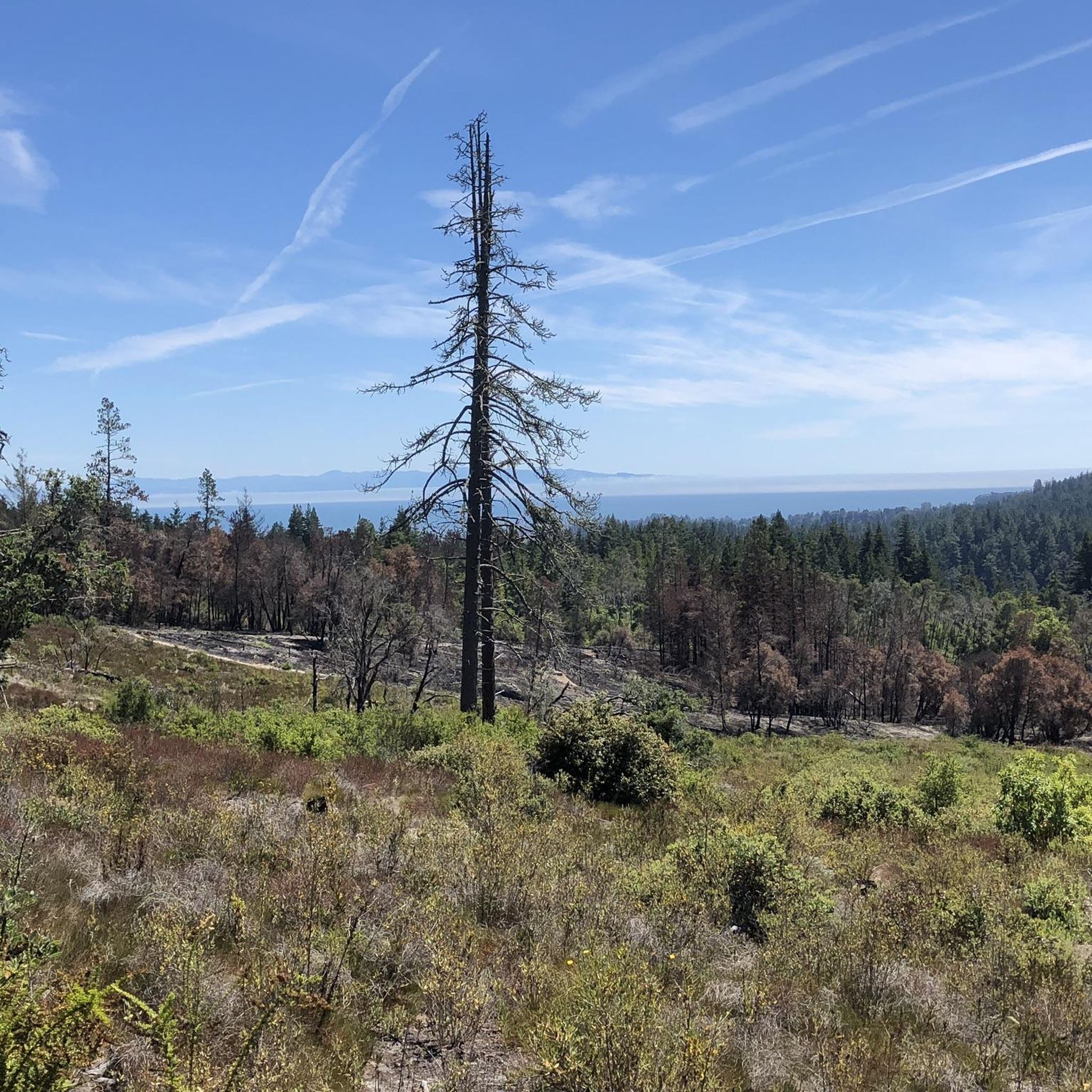
This area is a steep, gullied region containing numerous springs and seeps (areas where water oozes slowly out of the ground). A diverse range of wildlife, including bobcats, cows, eagles, and squirrels, can be found here.
0
0

Boulder Creek sits just below the Santa Cruz Mountains and is the gateway to Big Basin Redwoods State Park. The downtown area offers bars and restaurants that occupy buildings dating back to the early 1900s.
0
0
Frequently Asked Questions
What kind of terrain can I expect on gravel bike trails around Zayante?
Gravel biking in Zayante offers a diverse experience, from rolling climbs through rural areas to steeper, more isolated paths. You'll encounter a mix of semi-packed dirt and chunky rock surfaces, with frequent creek crossings. The region is characterized by towering redwood forests and unique sandhills, providing varied and scenic routes.
Are there any challenging gravel bike routes in the Zayante area?
Yes, Zayante offers routes for experienced gravel riders. For a significant challenge, consider the Boulder Creek – Chalks Road loop from Boulder Creek. This difficult 35.9-mile (57.7 km) path features substantial elevation gain and expansive views through redwood forests.
Can I find moderate gravel bike trails suitable for a good workout?
Absolutely. Many routes in Zayante are rated moderate. The Chuck Beebe Scenic Bench – Seep Zone Nature Reserve loop from Paradise Park is an 11.4-mile (18.3 km) trail with moderate climbs through varied woodland. Another great option is the Natural Bridges State Beach – Surfer Statue loop from Paradise Park, a 28.3-mile (45.5 km) route with moderate elevation.
What natural features or landmarks can I see along the gravel bike trails in Zayante?
The Zayante area is rich in natural beauty. You can ride through stunning redwood groves, including the majestic Cathedral Redwoods and areas with Old Growth Redwood Trees. Some routes also pass by unique geological features like the Zayante Sandhills, a rare ecosystem. You might also encounter historical sites such as the Lime Kiln ruins.
Are there any viewpoints or scenic spots on Zayante's gravel routes?
Yes, several routes offer rewarding views. The Bench with a view of the coast – Fremont Tree loop from Paradise Park is an 8.3-mile (13.3 km) trail that leads through redwood groves and offers scenic vistas, including a potential view of the coast. The Chuck Beebe Scenic Bench – Seep Zone Nature Reserve loop also features a scenic bench.
What is the best time of year to go gravel biking in Zayante?
The Santa Cruz Mountains, including Zayante, generally offer good gravel biking conditions for much of the year. Spring and fall often provide pleasant temperatures and vibrant scenery. While some routes are accessible in winter, be aware of potential mud and wetter conditions, especially after heavy rains. Summer can be warm, but the redwood forests offer welcome shade.
Are there any family-friendly gravel biking options in Zayante?
While many routes in Zayante involve moderate to difficult climbs, some sections or shorter loops might be suitable for families with older, experienced children. For easier, less technical rides, look for trails with gentler gradients and well-maintained surfaces. Always check the route details for elevation and surface type to ensure it matches your family's ability.
Where can I park my car when accessing Zayante gravel bike trails?
Parking availability varies by trailhead. Many routes, particularly those starting from areas like Paradise Park or Boulder Creek, will have designated parking areas nearby. It's advisable to check specific route descriptions on komoot for detailed parking information or local park websites before you head out.
Is public transport an option to reach Zayante trailheads?
Public transport options directly to specific gravel trailheads in Zayante can be limited, as the area is quite rural. Most visitors typically drive to access the trails. However, you might find bus services to nearby towns like Felton or Boulder Creek, from which you could potentially cycle to a trailhead, though this would add to your overall distance.
Are there any cafes or pubs near the Zayante gravel biking routes?
While Zayante itself is more residential, the nearby towns of Felton and Boulder Creek offer options for cafes and pubs where you can refuel after your ride. These towns are popular stops for cyclists in the Santa Cruz Mountains region.
What are the typical surface types on Zayante gravel bike trails?
You'll encounter a variety of surfaces. Many trails feature semi-packed dirt, which is common in the redwood forests. Some sections may have chunkier rock outcroppings, especially on more challenging routes. East Zayante Road, for example, has seen resurfacing, improving its rideability, but expect a mix of gravel and dirt throughout the region.
Are there any circular gravel bike routes in Zayante?
Yes, several routes are designed as loops, allowing you to start and finish in the same location. Examples include the Chuck Beebe Scenic Bench – Seep Zone Nature Reserve loop from Paradise Park and the Boulder Creek – Chalks Road loop from Boulder Creek. These loops are great for exploring without needing a shuttle.
Most popular attractions around Zayante

Get inspired with the komoot mobile app


Explore more
Browse the best Gravel rides in other regions.
