The best gravel rides around Culver City
4.7
(7)
204
riders
15
rides
Gravel biking around Culver City offers a diverse landscape, combining dedicated bike paths with natural features and connections to broader trail networks. The terrain includes sections of paved paths, gravel-friendly singletrack, and routes with elevation changes around areas like the Baldwin Hills Scenic Overlook. This region provides access to interconnected trail systems, including the Park to Playa Trail and the Ballona Creek Bike Path, which extend towards the Pacific Ocean and into larger natural areas.
Best gravel bike trails around…
Last updated: July 12, 2026
69
riders
Hard gravel ride. Very good fitness required. Mostly paved surfaces. Suitable for all skill levels.
38
riders
50.0km
04:00
1,100m
1,100m
Hard gravel ride. Very good fitness required. Mostly paved surfaces. Suitable for all skill levels.

Sign up for free
5.0
(1)
25
riders
62.1km
05:15
1,390m
1,390m
Hard gravel ride. Very good fitness required. Mostly paved surfaces. Suitable for all skill levels.
4.7
(3)
26
riders
Hard gravel ride. Very good fitness required. Mostly paved surfaces. Suitable for all skill levels.
5.0
(2)
7
riders
57.5km
04:55
1,490m
1,490m
Hard gravel ride. Very good fitness required. Mostly paved surfaces. Suitable for all skill levels.
Get access to more routes and recommendations from other explorers.
Sign up for free
Already have an account?
Our route recommendations are based on thousands of hikes, rides, and runs completed by other people on komoot.
Start today with a free account
Your next adventure awaits.
Login or Signup
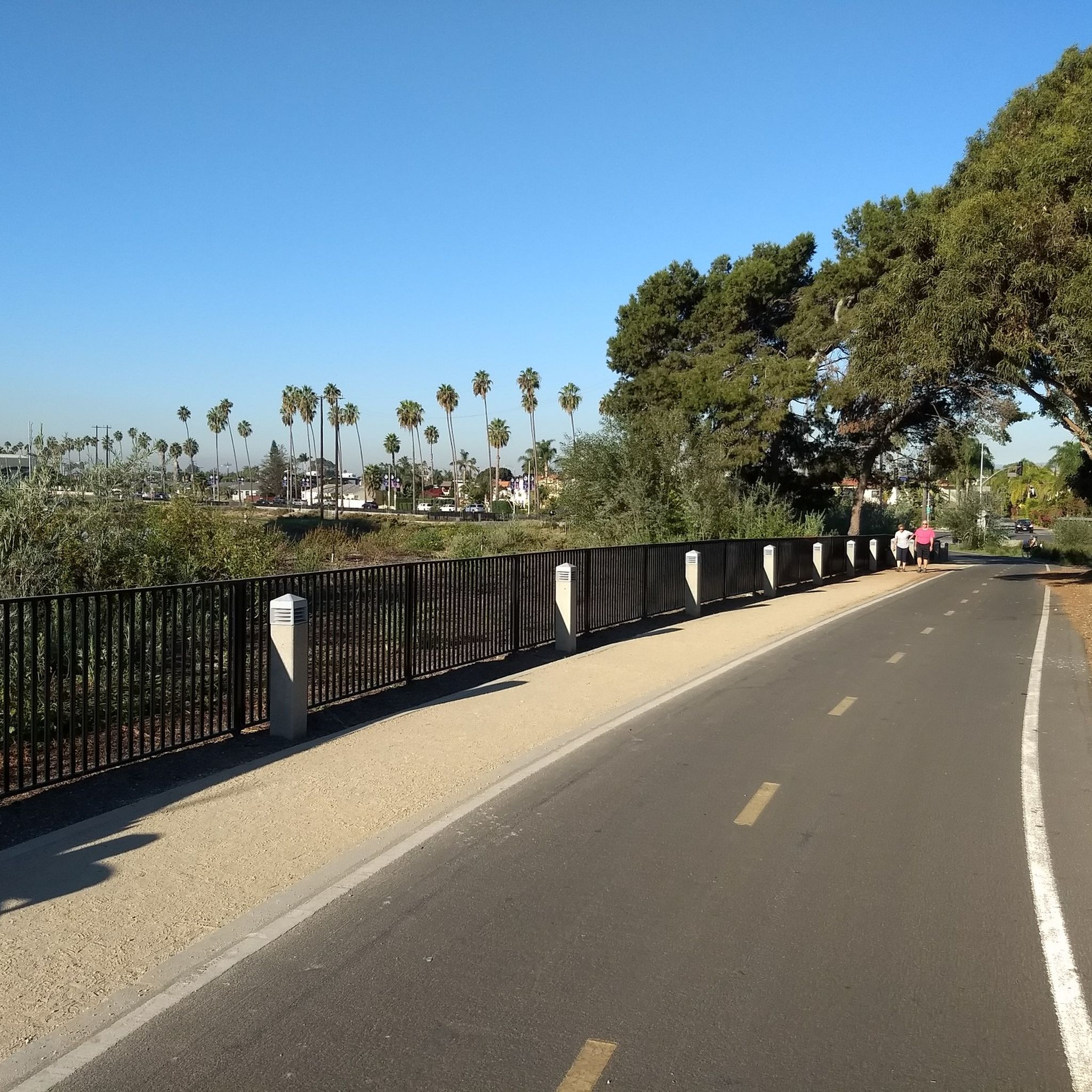
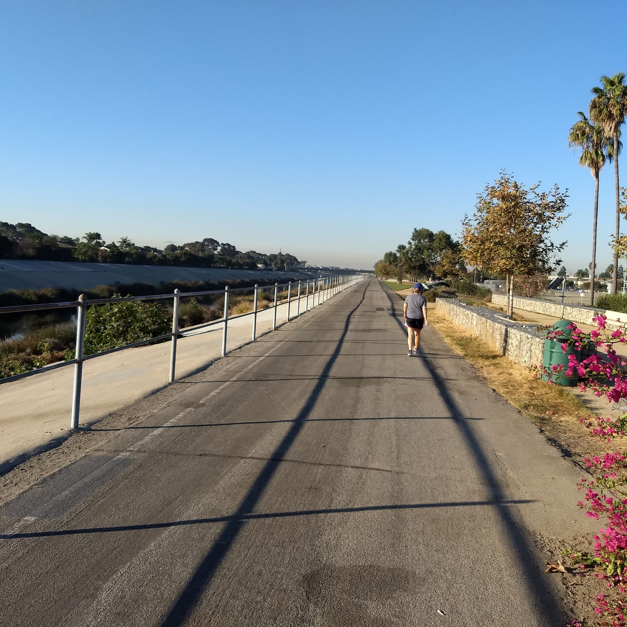
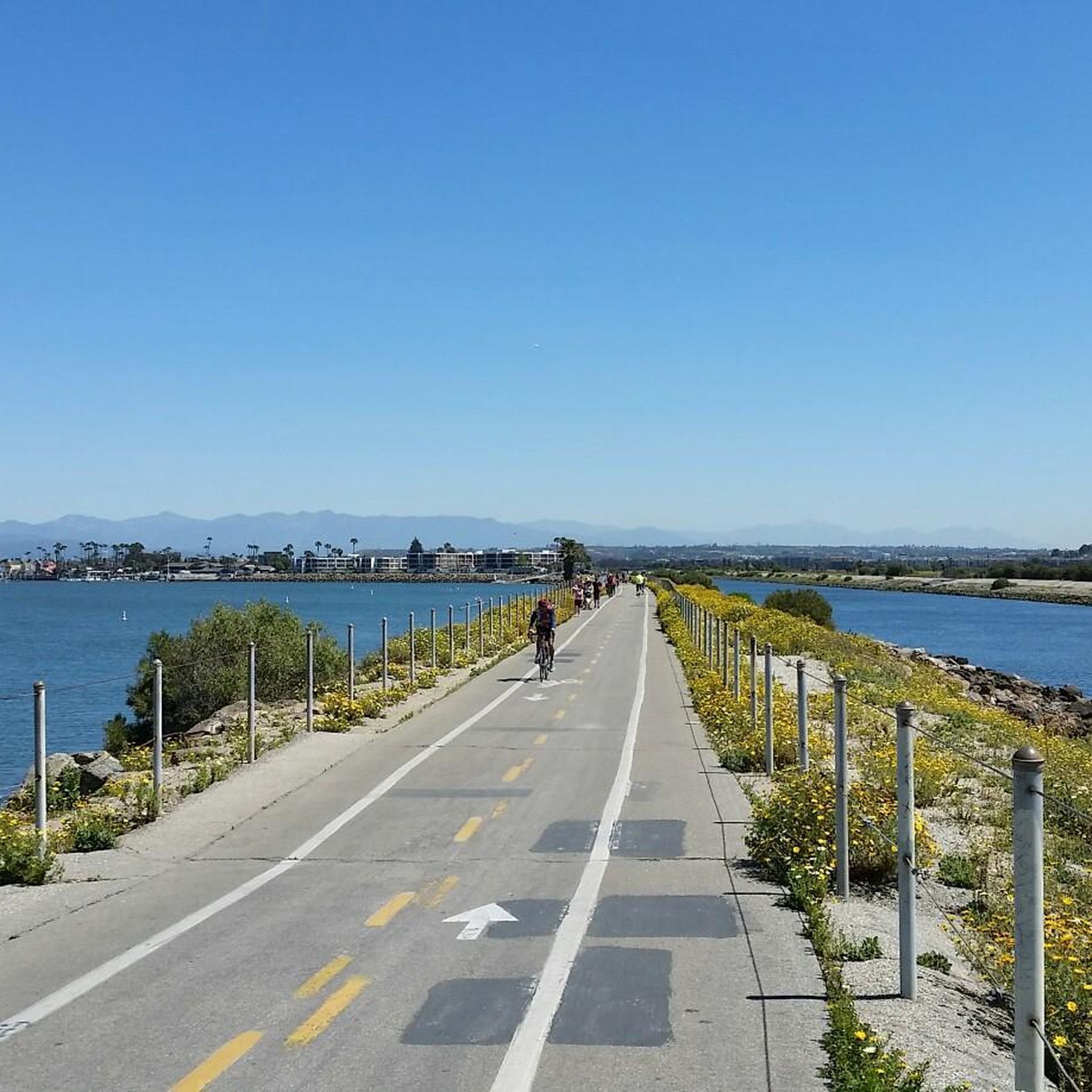
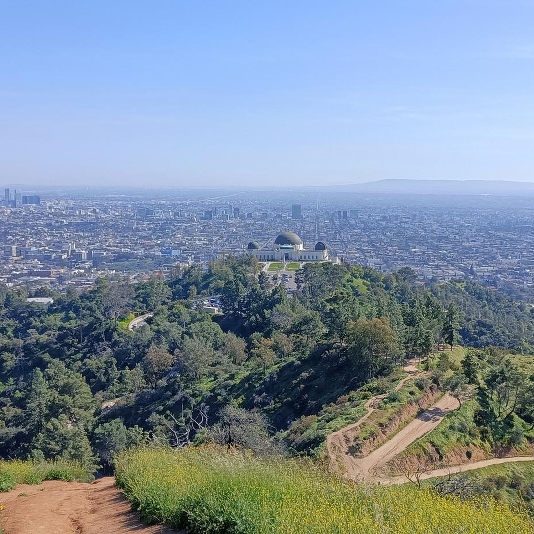
Tips from the Community

This beach extends for almost two miles along the shore, with a nice bike path, walkway, playground equipment, and volleyball courts. Do check the current restrictions, because as of now (June 2025), the beach is closed due to its proximity to the staging site for recovery from the Palisades fire.
0
0
Topanga State Park has a lot of great trails, mostly for hikers; you have plenty of mountain bike options too, but only on the fire roads. No dogs allowed — sorry!
0
0

This is a great place to have a quick rest to take in the view over Santa Monica and its famouse pier.
0
0

The Santa Monica & Route 66 sign marks the iconic end of the famous highway. It's a popular photo spot for travelers, symbolizing the journey's end at the Pacific Ocean. Don't miss the opportunity to capture your moment here.
0
0

San Vicente Mountain Park, located 2.7 miles west of the 405 freeway on an unpaved section of Mulholland Drive, has awesome 360-degree views and access to extensive hiking, mountain biking, and equestrian trails. The 10.2-acre park has public picnic areas, bathrooms, and is a gateway to Westridge Canyonback Park and the 20,000-acre “Big Wild” wilderness area. A short walk along a wide dirt road leads visitors to this historic site, which once housed a Nike-Ajax missile radar station during the Cold War (1956–1968). The original radar tower now provides panoramic views of the Santa Monica Mountains, Encino Reservoir, San Fernando Valley, and Los Angeles Basin, making it one of the best spots in the region to watch a sunset.
1
0

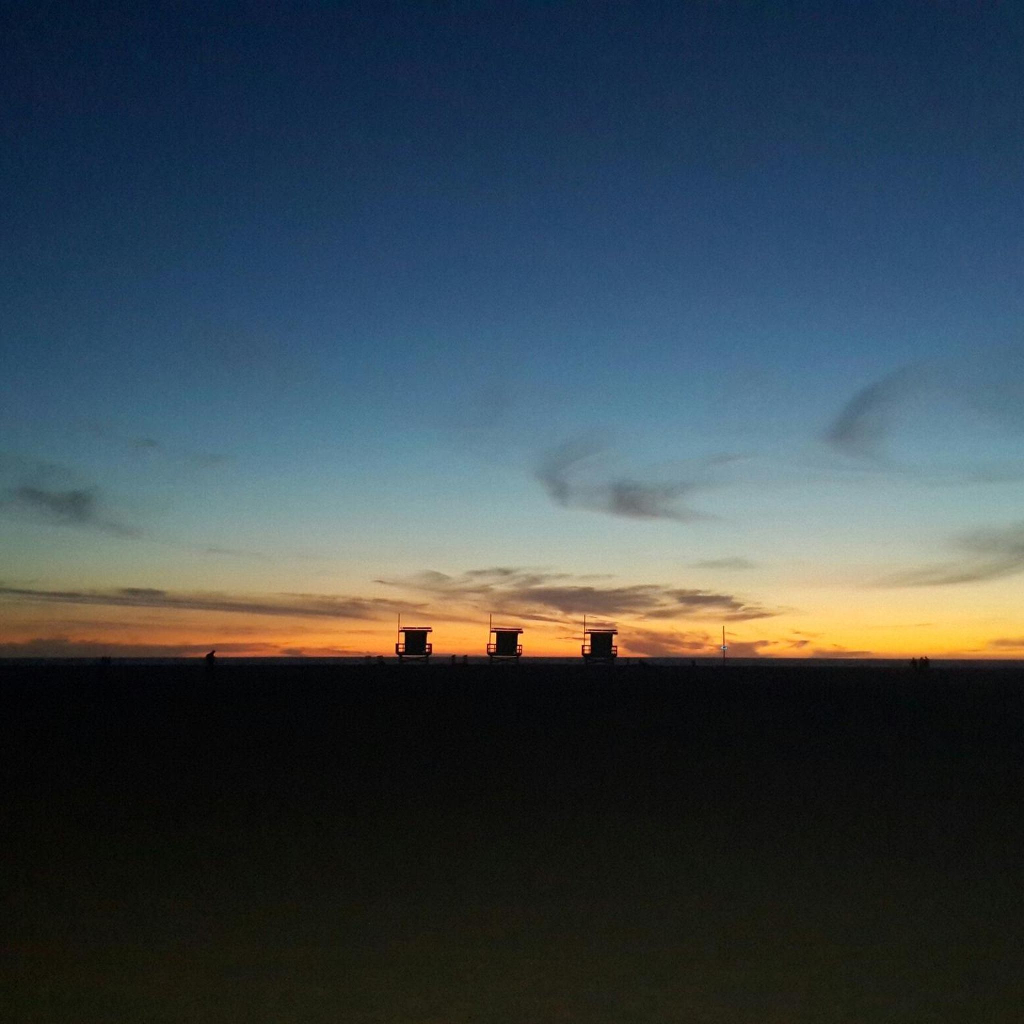
If I remember correctly it says in 3 languages: Our Days begin as stories, But I'll have to read it again with daylight
0
0
This is a handy connector trail, used mostly to go downhill from The Hub to the Bent Arrow Trail, or you can keep going all the way to Mulholland Drive with a climb at the very end.
0
0

This sandy beach is perfect for sunbathing and swimming, with over 3 miles of frontage and 103 acres of space. It’s family-friendly, featuring volleyball courts, picnic tables, and offers activities like surfing, surf fishing, sailing, and windsurfing. Named after actor Will Rogers, it has a historical connection to his fame in the 1930s.
0
0
Frequently Asked Questions
How many gravel bike routes can I find around Culver City?
There are 17 gravel bike routes available around Culver City on komoot. These routes have been explored by over 200 gravel bikers and hold an average rating of 4.8 stars.
What kind of terrain can I expect on gravel bike trails in Culver City?
Culver City's gravel biking terrain is diverse, featuring dedicated bike paths, gravel-friendly singletrack, and sections with significant elevation changes, especially around the Baldwin Hills Scenic Overlook. You'll find a mix of paved paths, gravel sections, and connections to broader trail networks like the Ballona Creek Bike Path and the Park to Playa Trail.
Are there any challenging gravel bike routes in the area?
Yes, many of the routes around Culver City feature significant elevation gain. For example, the Palisades Park – San Vicente Mountain Viewpoint loop from 26th Street/Bergamot covers 35.8 miles with over 3,800 feet of elevation gain, leading to panoramic viewpoints. Another difficult option is the The Hub (Topanga State Park) – Marvin Braude Bike Trail loop from 17th Street/SMC, which includes challenging climbs.
What are some notable natural features or viewpoints along the gravel routes?
The Baldwin Hills Scenic Overlook is a prominent feature, offering breathtaking panoramic views of Culver City, Los Angeles, Marina del Rey, and the Santa Monica Bay. Many routes incorporate sections that provide access to these elevated vantage points. The Ballona Creek Bike Path also offers scenic views as it stretches towards the Pacific Ocean.
Are there any family-friendly gravel biking options in Culver City?
While many routes in the immediate area feature significant elevation, the dedicated bike paths like the Ballona Creek Bike Path and the Culver Boulevard Bike Path offer flatter, more accessible sections suitable for families. These paths are generally paved or well-maintained, providing a safer environment away from traffic.
Can I access these gravel trails using public transport?
Yes, the Expo Bike Path runs parallel to the Metro Expo Line, providing a convenient connection between the Ballona Creek Bike Path and the La Cienega and Culver City Expo Line stations. This makes it possible to reach some of the trail networks using public transportation.
Where can I park my car when accessing gravel bike trails in Culver City?
Culver City Park offers parking facilities and provides access to the Baldwin Hills Scenic Overlook and the Ballona Creek Bike Path via the Park to Playa Trail. Additionally, various starting points for routes, such as 26th Street/Bergamot or 17th Street/SMC, often have street parking or nearby public parking options.
What kind of bike is recommended for gravel routes in Culver City?
For the specific gravel-friendly sections like the Stocker Street Playa Trail and the Park to Playa Trail, a minimum of 35mm tires for cyclocross (CX) bikes or 33mm CX tires/35mm gravel slicks are recommended to handle the varied surfaces effectively.
What is the best time of year to go gravel biking in Culver City?
Culver City generally enjoys mild weather year-round, making gravel biking pleasant in most seasons. However, spring and fall often offer the most comfortable temperatures for longer rides. Summers can be warm, so early morning or late afternoon rides are advisable, while winters are typically mild with occasional rain.
Are there any loop routes for gravel biking in Culver City?
Yes, several routes are designed as loops, allowing you to start and end at the same point. Examples include the Sullivan Canyon Overlook – The Hub (Topanga State Park) loop from Downtown Santa Monica, which covers 31.3 miles through varied terrain, and the The Hub (Topanga State Park) – San Vicente Mountain Viewpoint loop from 17th Street/SMC.
What attractions can I see near the gravel bike trails?
Beyond the trails, you can explore several attractions. The Santa Monica Pier and Ocean Front Walk are accessible via the Ballona Creek Bike Path. Other nearby points of interest include the Marvin Braude Bike Trail, and the Clouds Rest Overlook - Runyon Canyon Park.
Are there any specific trails that connect different parts of Culver City's outdoor areas?
The Park to Playa Trail is a significant connector, linking Culver City Park to the Baldwin Hills Scenic Overlook and the Ballona Creek Bike Path. This interconnected system allows for longer, more varied rides through different natural and urban landscapes.
Most popular routes around Culver City
Most popular attractions around Culver City

Get inspired with the komoot mobile app


Explore more
Browse the best Gravel rides in other regions.
