The best gravel rides around Emeryville
4.4
(21)
248
riders
26
rides
Gravel biking around Emeryville offers access to the varied terrain of the East Bay, characterized by rolling hills, urban green spaces, and sections of the Berkeley Hills. The region provides routes that transition from paved urban paths to unpaved fire roads and singletrack within regional parks. Elevation gains are common, leading to panoramic views of the San Francisco Bay Area.
Best gravel bike trails around Emeryville
- The most popular gravel bike trail is East Bay Skyline and Berkeley Hills Loop…
Last updated: November 3, 2026
4.5
(2)
18
riders
31.7km
03:05
800m
800m
Hard gravel ride. Very good fitness required. Mostly paved surfaces.
15
riders
54.9km
04:26
1,040m
1,040m
Hard gravel ride. Very good fitness required. You may need to push your bike for some segments of this route.

4.8
(8)
40
riders
46.7km
03:34
920m
920m
Hard gravel ride. Very good fitness required. Mostly paved surfaces.
5.0
(1)
30
riders
45.6km
03:13
760m
760m
Hard gravel ride. Very good fitness required. You may need to push your bike for some segments of this route.
5.0
(1)
22
riders
37.6km
02:46
750m
750m
Hard gravel ride. Very good fitness required. You may need to push your bike for some segments of this route.
Get access to more routes and recommendations from other explorers.
Already have an account?
Our route recommendations are based on thousands of hikes, rides, and runs completed by other people on komoot.
Start today with a free account
Your next adventure awaits.
Tips from the Community

Cedar Rose Park has tons of sports fields, a couple of play areas, a big lawn, and public restrooms. The park was developed along a section of an abandoned railway right-of-way and is about 5 acres.
0
0
Wildcat Creek Trail is a packed-dirt trail that is about four miles long. One end of the trail is at Jewel Lake, near the Environmental Education Center, and the other end of the trail is at the Alvarado Staging Area. This trail offers great views of Wildcat Creek and has some picnic tables you could stop at along the side of the trail.
0
0
Conlon Trail is a connector trail off of Nimitz Way Trail that spits you out on its south side at the intersection of Havey Canyon Trail and Wildcat Creek Trail. Conlon Trail offers from sweet views, but it's open to hikers and bikers, so keep an eye out for folks on foot.
0
0


This crossing was created by the Friends of Five Creeks as part of one of their larger restoration projects that began in 1999 to revive the area where Codornices Creek crosses the Ohlone Greenway. Inspired and led by local architect Todd Jersey, the project has transformed the site by replacing ivy and trash with native plants, improving access, and adding a beautiful observation railing.
0
0

Cedar Rose Park, located on the Ohlone Greenway, is a 5-acre park with two play areas, picnic sites with BBQ grills, and sports courts. It has a public restroom, allows dogs, and provides picnic tables. Open daily from 6 a.m. to 10 p.m., the park features a fenced tot lot, a large green field, and a playground for older children, making it a popular family destination.
0
0
Cedar Rose Park, located on the Ohlone Greenway, is a 5-acre park with two play areas, picnic sites with BBQ grills, and sports courts. It has a public restroom, allows dogs, and provides picnic tables. Open daily from 6 a.m. to 10 p.m., the park features a fenced tot lot, a large green field, and a playground for older children, making it a popular family destination.
0
0
Frequently Asked Questions
Are there easy or beginner-friendly gravel bike trails around Emeryville?
Most gravel bike routes around Emeryville are classified as difficult, featuring significant elevation gains and varied terrain. However, there are a couple of moderate routes that might be more suitable for those looking for a less intense experience, though true easy routes are not common in this area.
What are some longer gravel bike routes in the Emeryville area?
For a longer ride, consider the East Bay Skyline and Berkeley Hills Loop, which covers over 34 miles (54.9 km) with substantial climbing. Another excellent option is the Butters Canyon – Joaquin Miller Park loop from Fruitvale, spanning over 33 miles (53.6 km).
Where can I park when gravel biking in Emeryville?
Many of the gravel routes around Emeryville start near regional parks or trailheads in the East Bay hills. Look for parking facilities at popular access points like Joaquin Miller Park or along Skyline Boulevard. Public street parking may also be available in residential areas near trail entrances, but always check local regulations.
Can I access gravel bike trails in Emeryville using public transport?
Yes, some trailheads in the East Bay are accessible via AC Transit bus lines, particularly those connecting to Oakland and Berkeley. BART stations in Oakland or Berkeley can also serve as starting points, though you may need to cycle a few miles on paved roads to reach the unpaved sections. Always check public transport schedules and bike policies.
Are there family-friendly gravel bike trails in Emeryville?
Given that most gravel bike routes around Emeryville are rated as difficult with significant elevation changes, they are generally not considered family-friendly for younger children or beginner riders. The terrain is more suited for experienced gravel bikers looking for a challenge.
When is the best time of year for gravel biking in Emeryville?
The best time for gravel biking around Emeryville is typically during the spring (March to May) and fall (September to November) when the weather is mild and pleasant. Summers can be warm, especially inland, while winters can bring rain, making some unpaved sections muddy. Always check weather forecasts before heading out.
What should I wear for gravel biking in Emeryville during winter?
During winter, Emeryville and the surrounding East Bay can experience cool temperatures and rain. It's advisable to wear layers, including a waterproof and windproof jacket, thermal base layers, and gloves. Mudguards on your bike can also be beneficial for wet conditions.
Do Emeryville gravel bike routes offer scenic viewpoints?
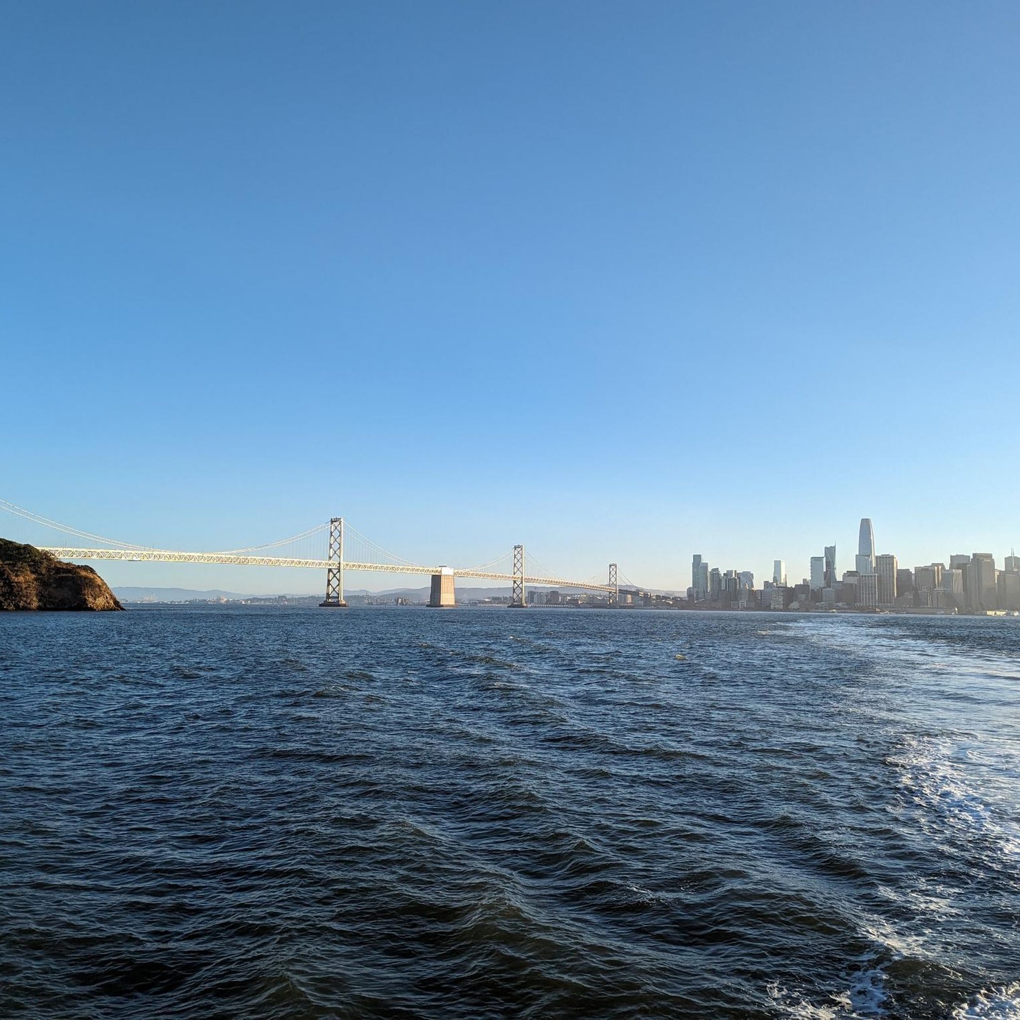
Absolutely! The gravel routes in the East Bay hills are renowned for offering panoramic views of the San Francisco Bay Area, including the Golden Gate Bridge, the city skyline, and surrounding landscapes. Many climbs lead to spectacular vistas along ridgelines.
Are there loop gravel bike trails around Emeryville?
Yes, many of the gravel bike trails in the Emeryville area are designed as loops, allowing you to start and end at the same point. Examples include the East Bay Skyline Loop and the Joaquin Miller Park – Skyline Boulevard loop from MacArthur.
What can I see along the gravel bike trails or nearby Emeryville?
While riding, you'll experience diverse park landscapes and scenic ridgelines. For attractions near the routes, you can explore natural highlights like Lake Merritt or Lake Anza. If you venture further, iconic San Francisco landmarks like Pier 39 & Sea Lions or Lombard Street are within reach.
What do other gravel bikers enjoy most about gravel biking in Emeryville?
The area is highly rated by the komoot community, with an average score of 4.5 stars. Reviewers often praise the challenging climbs, the rewarding panoramic views of the San Francisco Bay, and the diverse mix of urban paths, fire roads, and singletrack within regional parks.
Most popular routes around Emeryville
Most popular attractions around Emeryville

Get inspired with the komoot mobile app


Explore more
Browse the best Gravel rides in other regions.
