The best gravel rides around Berkeley
4.5
(28)
312
riders
32
rides
Gravel biking around Berkeley offers diverse terrain across its extensive park system and forested hills. The region is characterized by significant elevation changes, providing challenging climbs and varied landscapes. Riders can explore areas with majestic oaks, bay trees, redwoods, and grasslands, alongside panoramic views of the San Francisco Bay and surrounding natural features. This varied environment makes Berkeley a notable destination for gravel biking.
Best gravel bike trails around Berkeley
- The most popular gravel bike trail is East Bay Skyline and Berkeley Hills Loop, a 34.1 miles (54.9 km) trail that takes 4 hours 26 minutes to complete. This difficult route features challenging climbs and panoramic views of the Bay Area.
- Another top favourite among local gravel bikers is East Bay Skyline Loop, a difficult 19.7 miles (31.7 km) path. This route is known for its demanding ascents and sweeping vistas across the region.
- Local gravel bikers also love the Joaquin Miller Park – Skyline Boulevard loop from MacArthur, a 29.0 miles (46.7 km) trail leading through Joaquin Miller Park and along Skyline Boulevard, often completed in about 3 hours 33 minutes.
- Gravel biking around Berkeley is defined by forested hills, extensive park systems, and panoramic Bay Area views. The network offers options for different ability levels, from challenging climbs to varied terrain.
- The routes in Berkeley are highly rated by the komoot community with an average score of 4.4 stars from over 20 reviews. More than 250 gravel bikers have used komoot to explore Berkeley's varied terrain.
Last updated: October 24, 2026
4.5
(2)
18
riders
31.7km
03:05
800m
800m
If you're looking for a gravel biking adventure that truly showcases the East Bay, the East Bay Skyline Loop delivers. This difficult 19.7-mile (31.7 km) route winds through a stunning variety of landscapes, from open grasslands to dense redwood groves, all while offering continuous panoramic views of the San Francisco Bay and the Golden Gate Bridge. You'll encounter diverse terrain, including paved roads, fire roads, and technical singletrack, with significant climbs that will test your fitness.
Prepare for a substantial workout, as the loop involves 2631 feet (802 metres) of elevation gain and typically takes around 3 hours and 4 minutes to complete. While specific parking can vary depending on your starting point within the regional parks, it's generally accessible. Checking trail conditions, especially after rain, is advisable due to potentially muddy or rough sections. This ride is best suited for experienced gravel bikers ready for a challenge.
What makes this route stand out is its ability to connect multiple regional parks like Wildcat Canyon, Tilden, and Sibley, offering a true "best of East Bay" experience. Beyond the physical challenge, the ever-present Bay Area vistas, particularly from spots like Inspiration Point, provide constant motivation and make the strenuous climbs worthwhile. It's a robust workout combined with iconic scenery, making it a favorite among local gravel enthusiasts.
15
riders
54.9km
04:26
1,040m
1,040m
The East Bay Skyline and Berkeley Hills Loop offers a quintessential gravel biking experience, blending challenging climbs with diverse terrain and expansive Bay Area views. You'll navigate a mix of paved and unpaved sections, from smooth roads to rugged fire trails that can be rooty or develop washboard conditions. The 34.1-mile (54.9 km) route, with its 3420 feet (1042 metres) of elevation gain, is a difficult undertaking that rewards you with stunning panoramas of the San Francisco Bay and the Golden Gate Bridge, especially from spots like the Grizzly Peak Blvd Bay Area Viewpoint. Expect to spend around 4 hours and 26 minutes on this demanding ride.
While the route offers numerous potential starting points for East Bay residents, it's wise to consider the conditions. Drier spring and summer months can bring washboard surfaces on unpaved sections, while post-rain rides might mean hardened mud. There are no specific permits or fees mentioned, making it an accessible, albeit challenging, option for local cyclists.
What makes this route truly stand out is its ability to deliver a genuine escape into nature within a relatively urban setting. It's a favorite among local cyclists for its

4.8
(8)
40
riders
46.7km
03:34
920m
920m
Hard gravel ride. Very good fitness required. Mostly paved surfaces.
5.0
(1)
30
riders
45.6km
03:13
760m
760m
Hard gravel ride. Very good fitness required. You may need to push your bike for some segments of this route.
5
riders
46.4km
03:32
1,070m
1,070m
Hard gravel ride. Very good fitness required. Mostly paved surfaces.
Get access to more routes and recommendations from other explorers.
Already have an account?
Our route recommendations are based on thousands of hikes, rides, and runs completed by other people on komoot.
Start today with a free account
Your next adventure awaits.
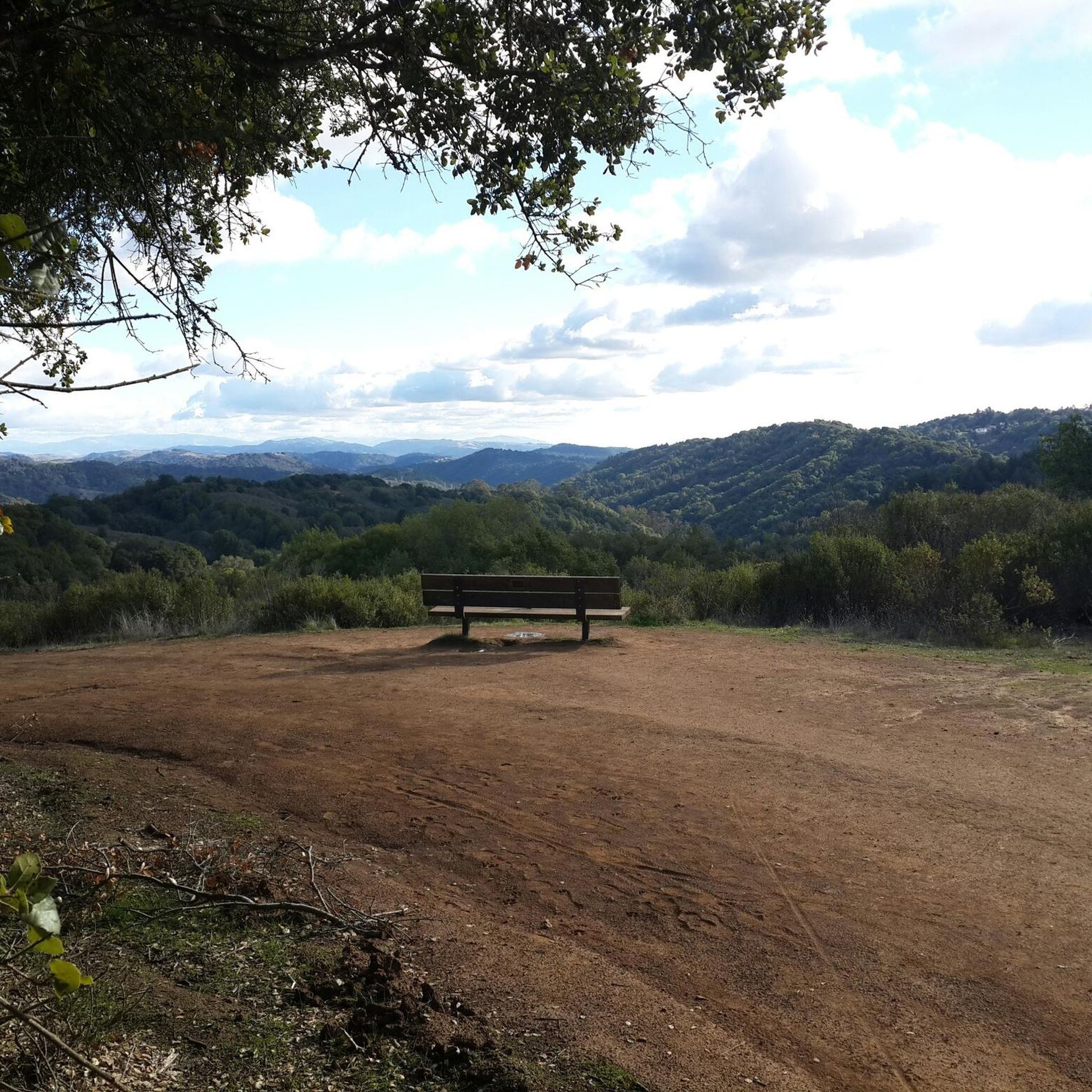
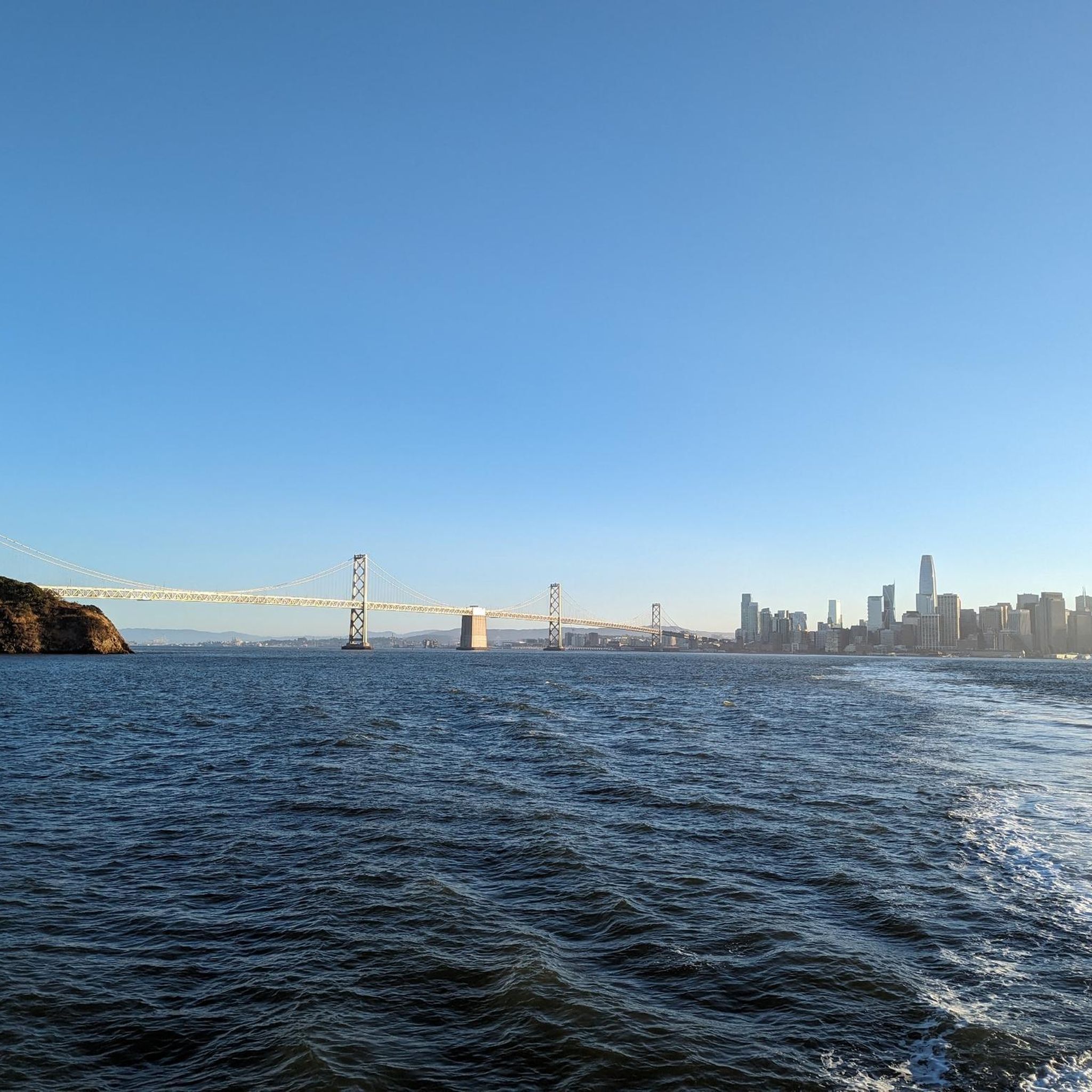
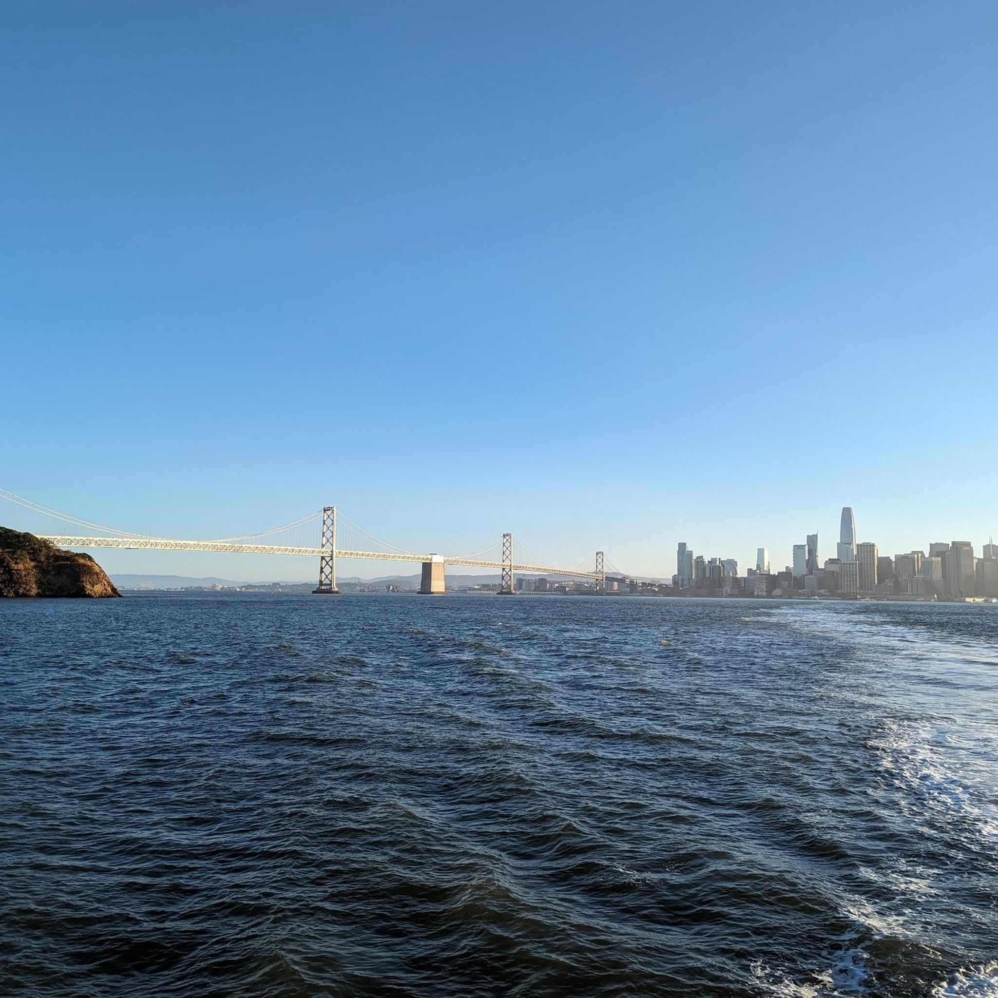
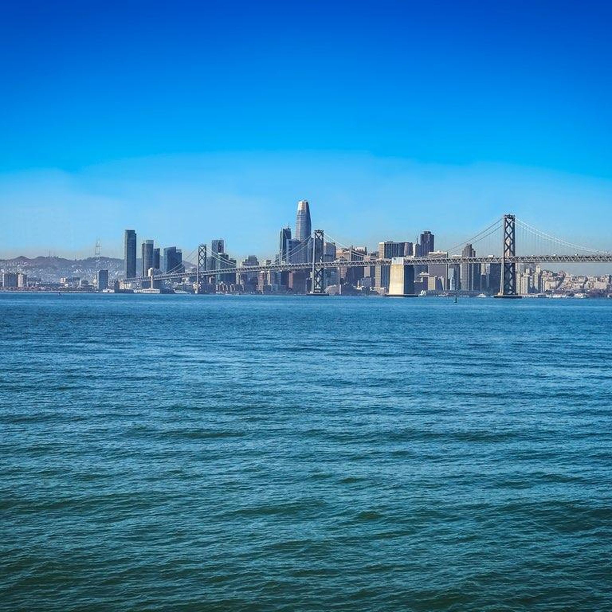
Tips from the Community

This road parallels the ridgeline above and have great views over the bay and surrounding hills.
0
0

Cedar Rose Park has tons of sports fields, a couple of play areas, a big lawn, and public restrooms. The park was developed along a section of an abandoned railway right-of-way and is about 5 acres.
0
0
Wildcat Creek Trail is a packed-dirt trail that is about four miles long. One end of the trail is at Jewel Lake, near the Environmental Education Center, and the other end of the trail is at the Alvarado Staging Area. This trail offers great views of Wildcat Creek and has some picnic tables you could stop at along the side of the trail.
0
0
Conlon Trail is a connector trail off of Nimitz Way Trail that spits you out on its south side at the intersection of Havey Canyon Trail and Wildcat Creek Trail. Conlon Trail offers from sweet views, but it's open to hikers and bikers, so keep an eye out for folks on foot.
0
0


This crossing was created by the Friends of Five Creeks as part of one of their larger restoration projects that began in 1999 to revive the area where Codornices Creek crosses the Ohlone Greenway. Inspired and led by local architect Todd Jersey, the project has transformed the site by replacing ivy and trash with native plants, improving access, and adding a beautiful observation railing.
0
0

Cedar Rose Park, located on the Ohlone Greenway, is a 5-acre park with two play areas, picnic sites with BBQ grills, and sports courts. It has a public restroom, allows dogs, and provides picnic tables. Open daily from 6 a.m. to 10 p.m., the park features a fenced tot lot, a large green field, and a playground for older children, making it a popular family destination.
0
0
Frequently Asked Questions
What is the typical terrain and difficulty of gravel biking in Berkeley?
Gravel biking in Berkeley is characterized by diverse terrain, significant elevation changes, and challenging climbs. Most routes are rated as difficult, offering a rewarding experience for experienced riders. You'll encounter a mix of smooth gravel, fire roads, and more demanding sections through forested hills, grasslands, and varied ecosystems. For example, the East Bay Skyline and Berkeley Hills Loop features over 1000 meters of elevation gain.
What kind of natural features and viewpoints can I expect to see along the gravel trails?
Berkeley's gravel trails offer breathtaking panoramic views of the San Francisco Bay, the iconic Golden Gate Bridge, and Mount Diablo, especially from higher elevations like Grizzly Peak. You'll ride through diverse ecosystems, including glades of majestic oaks, bay trees, redwoods, and eucalyptus forests. Notable viewpoints include Grizzly Peak Vista Point and Inspiration Point. You might also encounter tranquil spots like Lake Anza within Tilden Regional Park or Wildcat Creek in Wildcat Canyon Regional Park.
Are there many loop options for gravel biking in Berkeley?
Yes, Berkeley offers several excellent loop routes for gravel biking. Many popular trails, such as the East Bay Skyline Loop, are designed as loops, allowing you to start and end at the same point. These loops often combine challenging climbs with scenic descents through the region's varied landscapes.
Is parking available near the gravel bike trails in Berkeley?
Yes, parking is generally available at various access points for Berkeley's regional parks and trailheads. For instance, Tilden Regional Park and Wildcat Canyon Regional Park, which host many gravel routes, have designated parking areas. It's advisable to check specific park websites or komoot tour details for precise parking locations when planning your ride.
Can I reach Berkeley's gravel trails using public transport?
While many gravel trails are nestled in the hills, some access points are reachable via public transport. Berkeley has a robust public transportation system, including BART and AC Transit buses. You can plan your route to get close to trailheads, though some initial riding on paved roads might be necessary to reach the unpaved sections. For example, the Joaquin Miller Park – Skyline Boulevard loop from MacArthur starts near a public transport hub.
What do other gravel bikers enjoy most about gravel biking in Berkeley?
The komoot community highly rates gravel biking in Berkeley, with an average score of 4.4 stars from over 20 reviews. Riders frequently praise the challenging climbs, the diverse terrain, and especially the sweeping panoramic views of the San Francisco Bay Area. The extensive park system, including Tilden and Wildcat Canyon, is also a major draw for its varied natural beauty.
Are there any family-friendly gravel biking options in Berkeley?
While many of Berkeley's gravel routes are rated as difficult due to significant elevation changes, Tilden Regional Park does offer sections with smoother gravel and fire roads that might be more suitable for families or those seeking a less strenuous ride. However, specific easy, family-focused gravel routes are not prominently featured in the most popular options. Always check the route details for elevation and distance before heading out with family.
What is the best time of year for gravel biking in Berkeley?
The best time for gravel biking in Berkeley is generally during the spring and fall when temperatures are mild and the weather is pleasant. Summers can be warm, especially on exposed sections, while winters can bring rain, making some trails muddy. However, the region often enjoys many clear days year-round, so checking the local forecast before your ride is always a good idea.
Are there any specific landmarks or attractions near the gravel trails?
Beyond the stunning natural views, you can find interesting landmarks and attractions. For instance, within Tilden Regional Park, you'll find Lake Anza. The UC Botanical Garden at Berkeley and the Tilden Botanic Garden are also nearby for a curated natural experience. For a different kind of landmark, the Grizzly Peak Vista Point offers iconic views. You might also pass by the Piedmont reservoir on some routes.
Do I need any permits for gravel biking in Berkeley's parks?
Generally, permits are not required for gravel biking on the established trails within Berkeley's regional parks like Tilden or Wildcat Canyon. These parks are open to the public for recreational use. However, it's always a good practice to check the specific rules and regulations of individual parks or trail systems before your ride, as conditions or policies can occasionally change.
Are there any gravel routes that offer a mix of urban and natural scenery?
Yes, some routes, like the Skyline Boulevard – Joaquin Miller Park loop from Ashby, can offer a blend of urban access points leading into extensive natural parklands. While the core gravel experience is in the hills and parks, the proximity to Berkeley allows for rides that transition from cityscapes to wilder terrain, often with stunning views of the Bay Area as a backdrop.
Most popular routes around Berkeley
Most popular attractions around Berkeley

Get inspired with the komoot mobile app


Explore more
Browse the best Gravel rides in other regions.
