The best gravel rides in South Central Connecticut Planning Region
4.2
(4)
79
riders
13
rides
Gravel biking in South Central Connecticut Planning Region offers diverse terrain, extensive trail networks, and notable natural features. The landscape includes a mix of forests, river valleys, and coastal areas, providing varied topography for exploration. Riders can find routes on hard-packed dirt, stone dust, and access roads, often with scenic views. The region's natural features, such as protected wetlands and elevated viewpoints, contribute to a varied gravel biking experience.
Best gravel bike trails in South Central Connecticut Planning Region
- The most popular gravel bike trail is Steep Rock Tunnel – Scenic route - Walker Brook Road loop from Roxbury, a 31.6 miles (50.8 km) trail that takes 3 hours 19 minutes to complete. This difficult route features significant elevation gain through varied terrain.
- Another top favourite among local gravel bikers is Old Mine Park – Pequonnock Valley Greenway loop from Botsford, an easy 16.8 miles (27.1 km) path. This route offers a relatively flat ride along a greenway, suitable for all fitness levels.
- Local gravel bikers also love the Pattaconk Lake loop from Madison, a 43.6 miles (70.1 km) trail leading through forested areas and around lakes, often completed in about 4 hours 10 minutes.
- Gravel biking in South Central Connecticut Planning Region is defined by diverse forests, river valleys, and coastal plain areas. The network offers options for different ability levels, from easy greenways to challenging routes with significant climbs.
- The routes in South Central Connecticut Planning Region are highly rated by the komoot community with an average score of 5.0 stars from 1 review. More than 75 gravel bikers have used komoot to explore South Central Connecticut Planning Region's varied terrain.
Last updated: October 14, 2026
5.0
(1)
16
riders
50.9km
03:19
790m
790m
Hard gravel ride. Very good fitness required. Mostly paved surfaces. Suitable for all skill levels.
4.5
(2)
13
riders
27.3km
01:41
120m
120m
Easy gravel ride. Great for any fitness level. Mostly paved surfaces. Suitable for all skill levels.

8
riders
70.1km
04:09
740m
740m
Hard gravel ride. Very good fitness required. Mostly paved surfaces. Suitable for all skill levels.
11
riders
31.1km
01:53
450m
450m
Moderate gravel ride. Good fitness required. Mostly paved surfaces. Suitable for all skill levels.
3
riders
43.8km
03:00
890m
890m
Hard gravel ride. Very good fitness required. You may need to push your bike for some segments of this route.
3
riders
31.1km
01:56
480m
480m
Hard gravel ride. Very good fitness required. Mostly paved surfaces. Suitable for all skill levels.
3
riders
77.0km
04:47
930m
930m
Hard gravel ride. Very good fitness required. Mostly paved surfaces. Suitable for all skill levels.
2
riders
42.4km
03:01
840m
840m
Hard gravel ride. Very good fitness required. Mostly paved surfaces. Suitable for all skill levels.
4
riders
54.9km
03:22
680m
680m
Hard gravel ride. Very good fitness required. Mostly paved surfaces. Suitable for all skill levels.
5
riders
42.5km
02:37
590m
590m
Hard gravel ride. Very good fitness required. Mostly paved surfaces. Suitable for all skill levels.
Get access to more routes and recommendations from other explorers.
Already have an account?
Our route recommendations are based on thousands of hikes, rides, and runs completed by other people on komoot.
Start today with a free account
Your next adventure awaits.
Popular around South Central Connecticut Planning Region
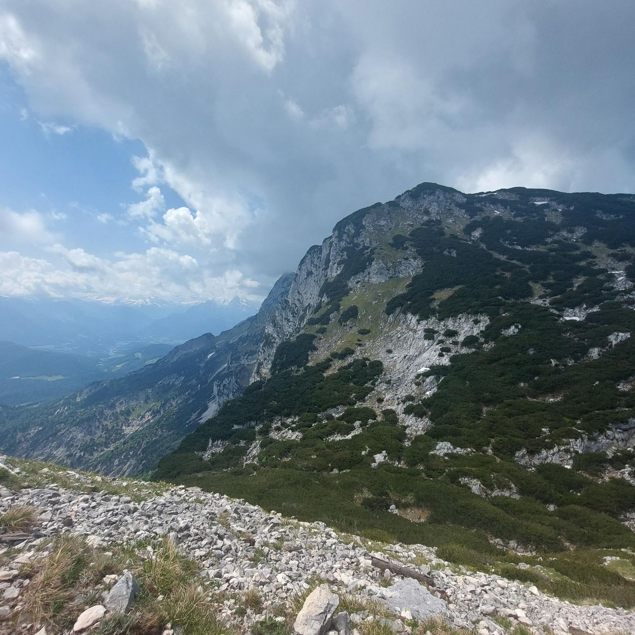
Gravel biking around Heritage Village

Gravel biking in George C. Waldo State Park

On the trail of the Pilgrim Fathers – road trip along the Atlantic coast
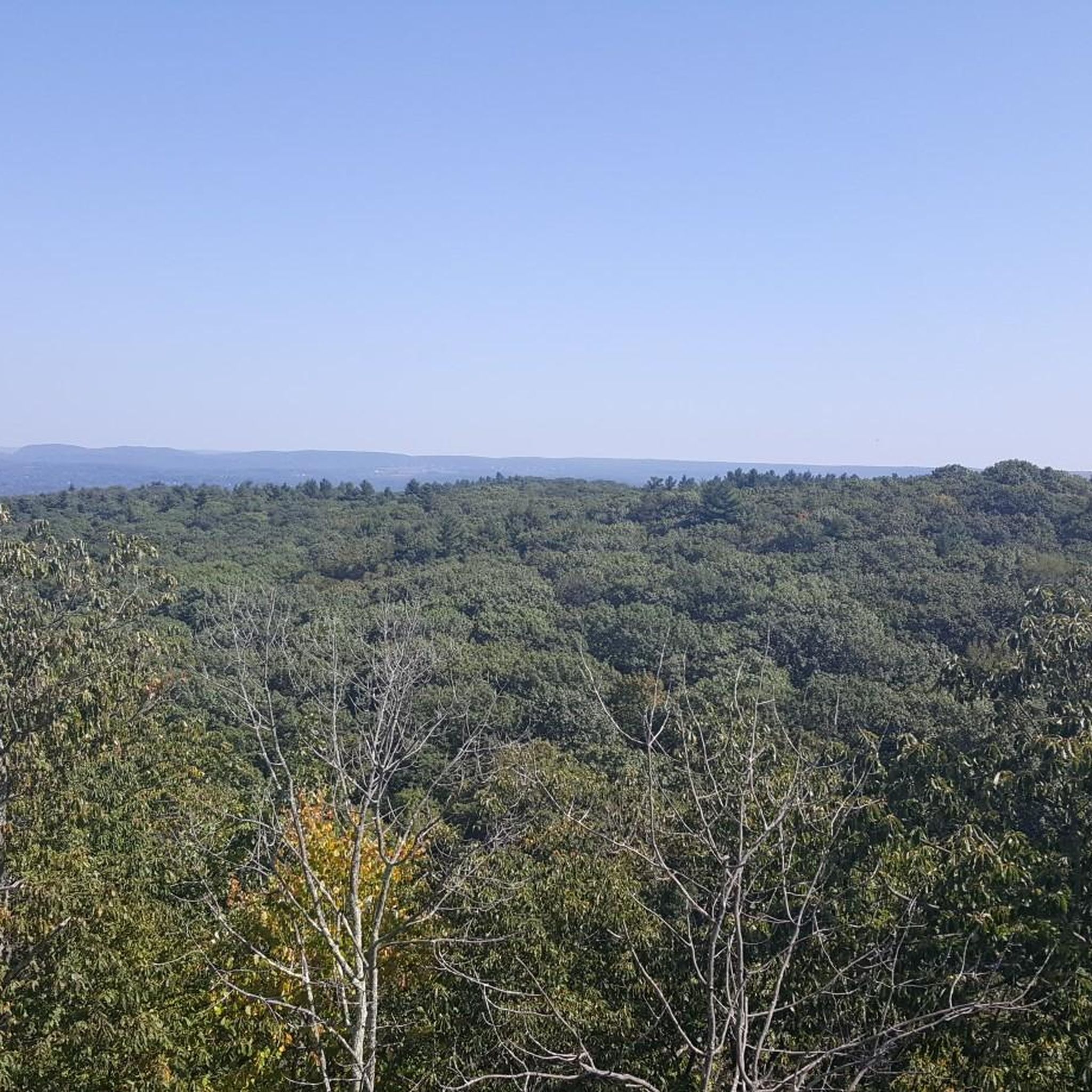
Hiking in South Central Connecticut Planning Region
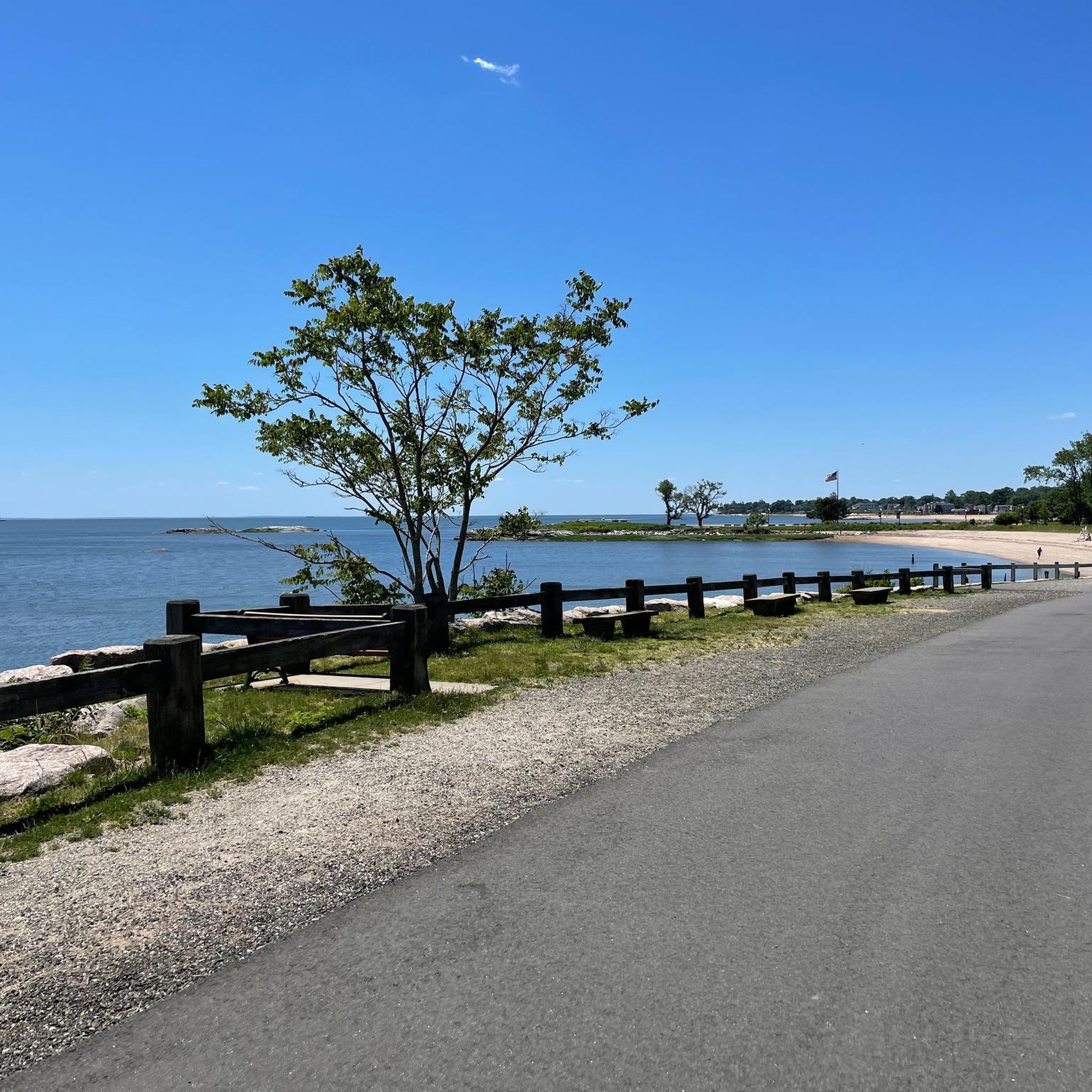
Cycling in South Central Connecticut Planning Region

Running Trails in South Central Connecticut Planning Region
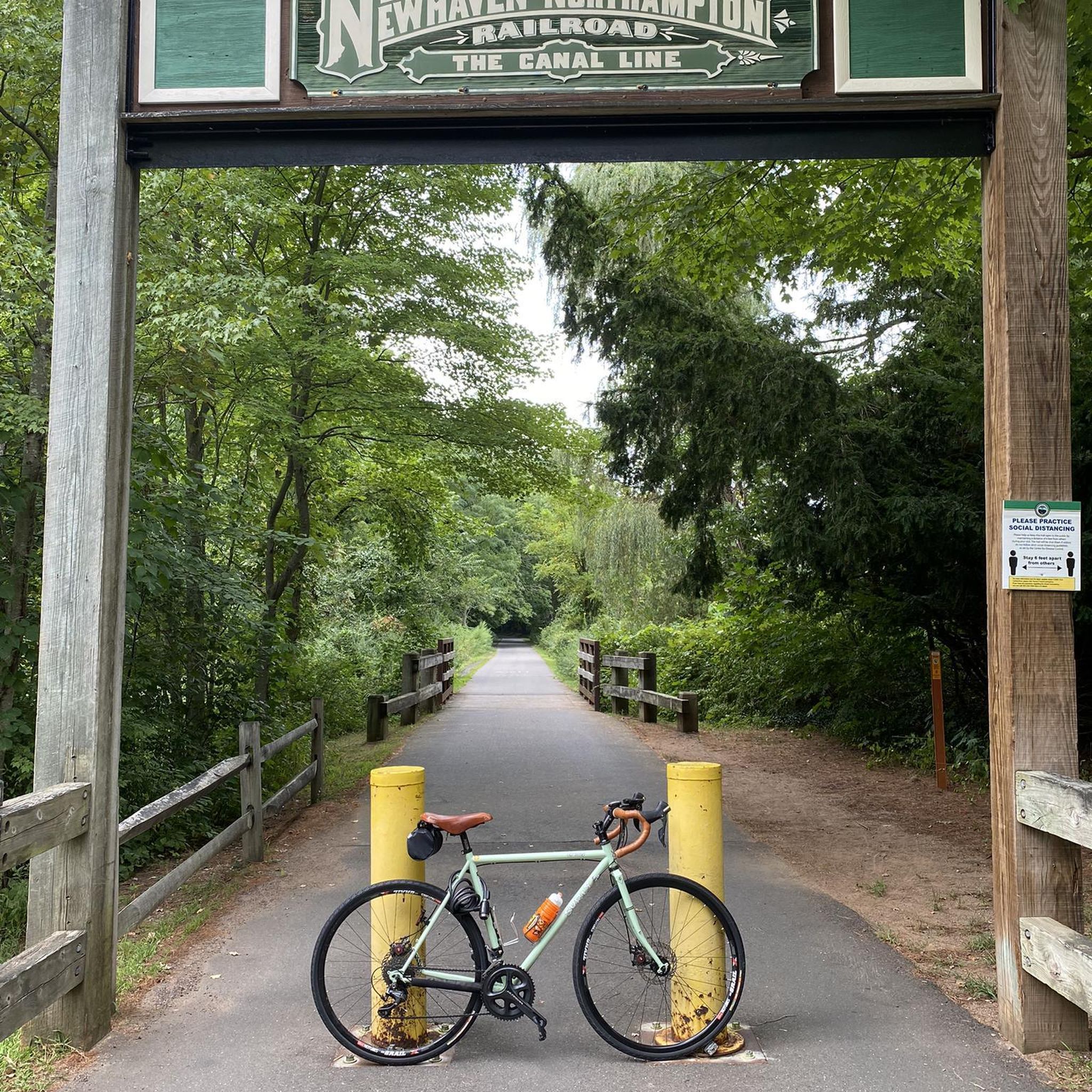
MTB Trails in South Central Connecticut Planning Region
Road Cycling Routes in South Central Connecticut Planning Region
Other adventures in South Central Connecticut Planning Region

Tips from the Community

Very nice bike path through Hammonasset State Beach Park. Nice and quiet in winter, very lively in summer thanks to the campsite.
1
0
The Hammasonett State Park is perfect for Mountainbiking trough the park, but also directly on the beach. There also exist a camp ground. So mountain biking in Winter is much better than in summer times, when it is crowded.
1
0


The Mine Hill Preserve covers 360 acres and include the remnants of a 19th century iron making facility, which is now on the National Register of Historical Places. A series of signs along the paths give you the details of iron making process from mining the ore to processing steel.
1
0

This part of Upper Grassy Hill Road runs parallel to this small grass airstrip with its old hangar, where you might catch sight of a plane.
1
0

The multi-use Shoreline Greenway has a total length of 25 miles and leads through five towns between the Hammonasset Beach State Park to Lighthouse Point. The Hammonasset section of the trail marks one end of the trail and leads through the forested area of Hammonasset Beach State Park with spectacular views of the Long Island Sound.
0
0

Parlor Rock Park is the site of what used to be a really popular tourist park created in the 1870s. Now, the area features a paved path (sometimes packed dirt/cinders) through wooded and rocky areas. Though this spot used to see thousands of visitors a day, you aren't likely to see more than just a handful of walkers, runners, and cyclists.
0
0
The Natalie White Preserve is one of many such preserves overseen by the Roxbury Land Trust. Though small there is a short trail leading to a hilltop that affords nice views of the areas and makes for a good picnic spot.
0
0
Frequently Asked Questions
How many gravel bike trails are available in the South Central Connecticut Planning Region?
The South Central Connecticut Planning Region offers a diverse network of 13 gravel bike trails. These routes cater to various skill levels, with 1 easy, 3 moderate, and 9 difficult options to explore.
What kind of terrain can I expect on gravel bike trails in this region?
You can expect a varied landscape for gravel biking in South Central Connecticut. Trails often feature hard-packed dirt, stone dust, and access roads, winding through forests, river valleys, and even coastal plain areas. Some routes, like those near the Farmington River, offer isolated, quiet roads with scenic views, while others might include single-track sections.
Are there any easy or family-friendly gravel biking options?
Yes, there are easy options suitable for all fitness levels. For instance, the Old Mine Park – Pequonnock Valley Greenway loop from Botsford is an easy 16.8-mile path that offers a relatively flat ride along a greenway. The Pequonnock Valley Greenway itself is known for being an easy gravel ride, perfect for families or those looking for a less strenuous outing.
Where can I find challenging gravel bike routes in the South Central Connecticut Planning Region?
For experienced riders seeking a challenge, the region has 9 difficult gravel bike routes. A notable option is the Steep Rock Tunnel – Scenic route - Walker Brook Road loop from Roxbury. This 31.6-mile trail features significant elevation gain and varied terrain, requiring good fitness and advanced riding skills.
Are there gravel trails with scenic views or notable natural features?
Absolutely. Many gravel routes in the region offer rewarding vistas and natural beauty. You can find trails with views of the Farmington River and local forests. For expansive views, consider areas near South Overlook or the coastal areas around the Stewart B. McKinney National Wildlife Refuge, which provides unique views where the Housatonic River meets the Long Island Sound.
What do other gravel bikers enjoy most about the South Central Connecticut Planning Region?
The area is highly rated by the komoot community, with an average score of 5.0 stars from 1 review. Over 75 gravel bikers have explored the region using komoot, often praising the diverse forests, river valleys, and varied terrain that offer options for different ability levels.
Are there any specific landmarks or attractions I can see along the gravel routes?
Yes, the region is rich with natural and historical points of interest. You might encounter lakes such as Bradley Hubbard Reservoir or Mirror Lake. For geological features, look out for Judges Cave or the Gorge Cascade Falls. The region also includes protected areas like West Rock Ridge State Park.
What are the typical elevations and distances for gravel biking in this region?
The routes vary significantly. For example, an easy route like the Old Mine Park – Pequonnock Valley Greenway loop covers 16.8 miles with about 400 feet of elevation gain. More challenging routes, such as the Pattaconk Lake loop from Madison, can extend to 43.6 miles with over 2,400 feet of elevation gain, leading through forested areas and around lakes.
Are there any loop trails for gravel biking?
Yes, many of the gravel routes in the South Central Connecticut Planning Region are designed as loops, offering convenient starting and ending points. Examples include the Steep Rock Tunnel – Scenic route - Walker Brook Road loop from Roxbury and the Pattaconk Lake loop from Madison, allowing you to experience diverse scenery without retracing your path.
What is the best time of year for gravel biking in South Central Connecticut?
While specific seasonal conditions can vary, the diverse New England landscapes of South Central Connecticut are generally enjoyable for gravel biking from spring through fall. Spring offers lush greenery, summer provides warm weather, and autumn showcases vibrant foliage. Always check local weather conditions before heading out, especially for potential rain or early snow in late fall.
Are there options for public transport access to gravel trails?
While specific public transport details for every trailhead are not universally available, the region is part of a planning area with developed infrastructure. For detailed information on public transport options to specific trailheads, it's advisable to consult local transit authorities or the Connecticut Department of Energy and Environmental Protection (DEEP) website for state park access information.
Can I find amenities like cafes or accommodation near the gravel trails?
The South Central Connecticut Planning Region includes various towns and communities, so amenities like cafes, pubs, and accommodation are generally accessible. While specific recommendations depend on your chosen route, areas around larger towns or state parks often have facilities nearby. Planning your route in advance can help identify convenient stops.
Most popular routes in South Central Connecticut Planning Region
Most popular attractions in South Central Connecticut Planning Region

Get inspired with the komoot mobile app


Didn’t find what you were looking for?
Check out more Gravel rides throughout South Central Connecticut Planning Region below and find the perfect route in your destination.
Explore more
Browse the best Gravel rides in other regions.
