The best gravel rides in Clackamas County
3.9
(15)
172
riders
9
rides
Gravel biking in Clackamas County offers diverse terrain, from river valleys to extensive forest lands, providing varied experiences for cyclists. The region features a network of both paved paths and gravel roads, winding through areas like the Mount Hood National Forest and along major rivers such as the Clackamas, Willamette, and Sandy. Approximately 70% of the county is covered by forests, contributing to a landscape rich in natural features and varied surfaces for gravel biking. This includes routes with significant…
Last updated: October 10, 2026
4.8
(13)
67
riders
Hard gravel ride. Very good fitness required. Mostly paved surfaces. Suitable for all skill levels.
64
riders
Hard gravel ride. Very good fitness required. Mostly paved surfaces. Suitable for all skill levels.

19
riders
Hard gravel ride. Very good fitness required. Mostly paved surfaces. Suitable for all skill levels.
5.0
(1)
10
riders
Hard gravel ride. Very good fitness required. Mostly paved surfaces. Suitable for all skill levels.
2.0
(1)
10
riders
20.7km
01:21
170m
170m
Moderate gravel ride. Good fitness required. Mostly paved surfaces. Suitable for all skill levels.
Get access to more routes and recommendations from other explorers.
Already have an account?
Our route recommendations are based on thousands of hikes, rides, and runs completed by other people on komoot.
Start today with a free account
Your next adventure awaits.
Popular around Clackamas County

Gravel biking around Milwaukie
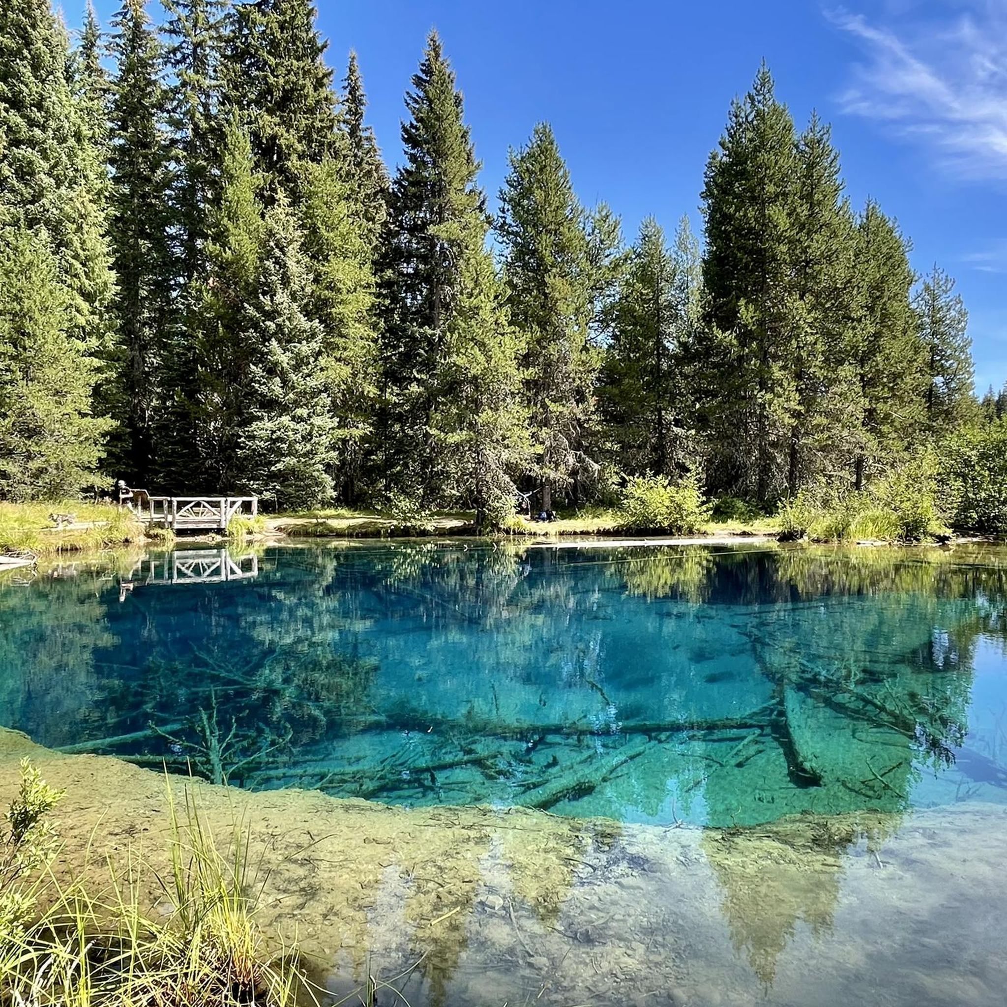
Gravel biking in Mt. Hood National Forest

Gravel biking around Lake Oswego

Pacific Crest Trail from Mexico to Canada – 4,200 kilometres of wilderness
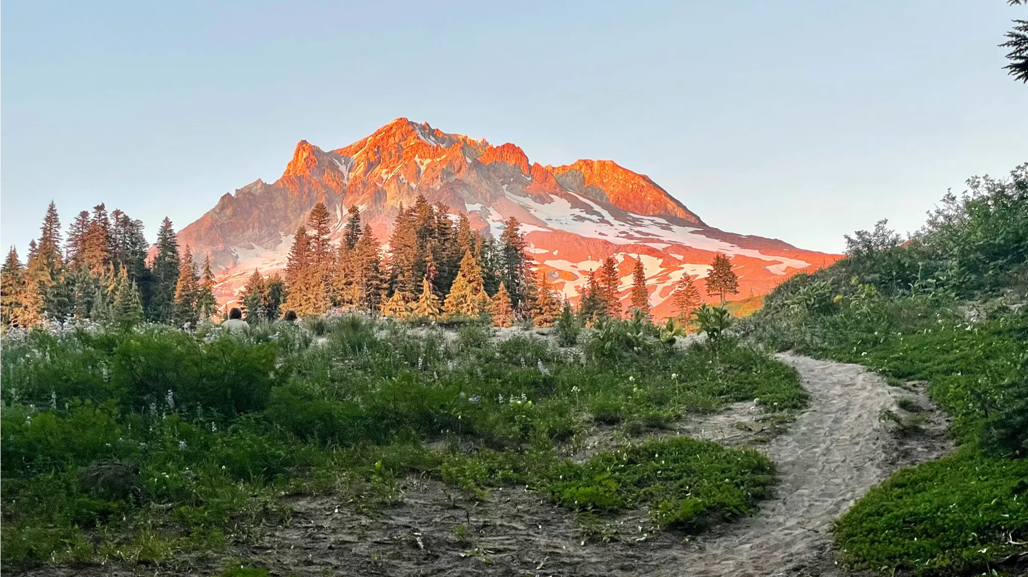
Timberline Trail — A Scenic Mount Hood Adventure
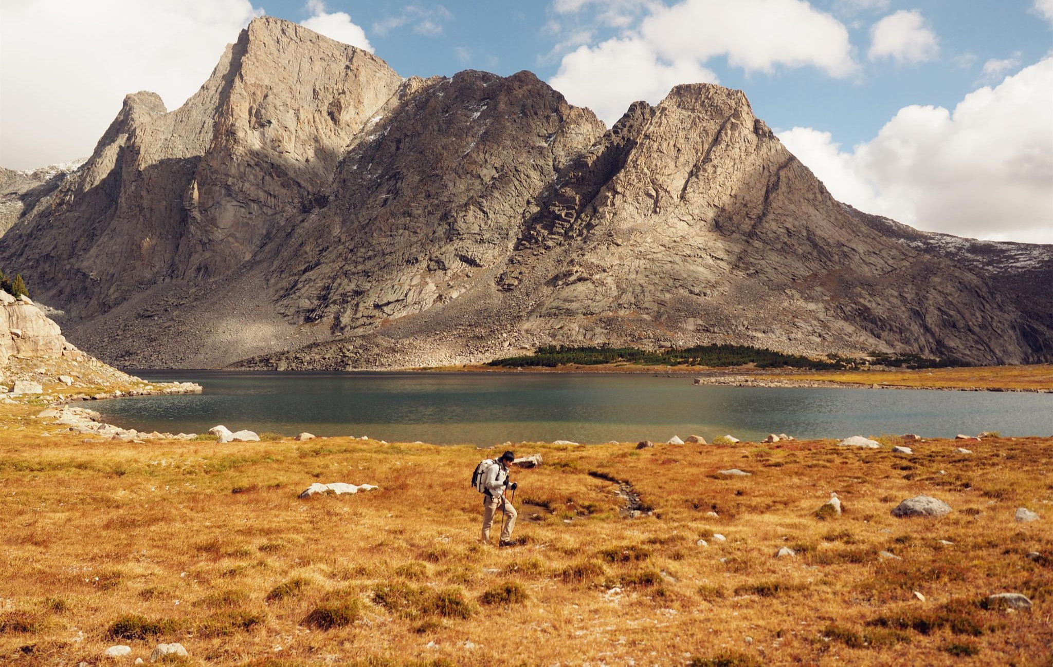
Like in the Wild West – hiking on the Oregon Trail
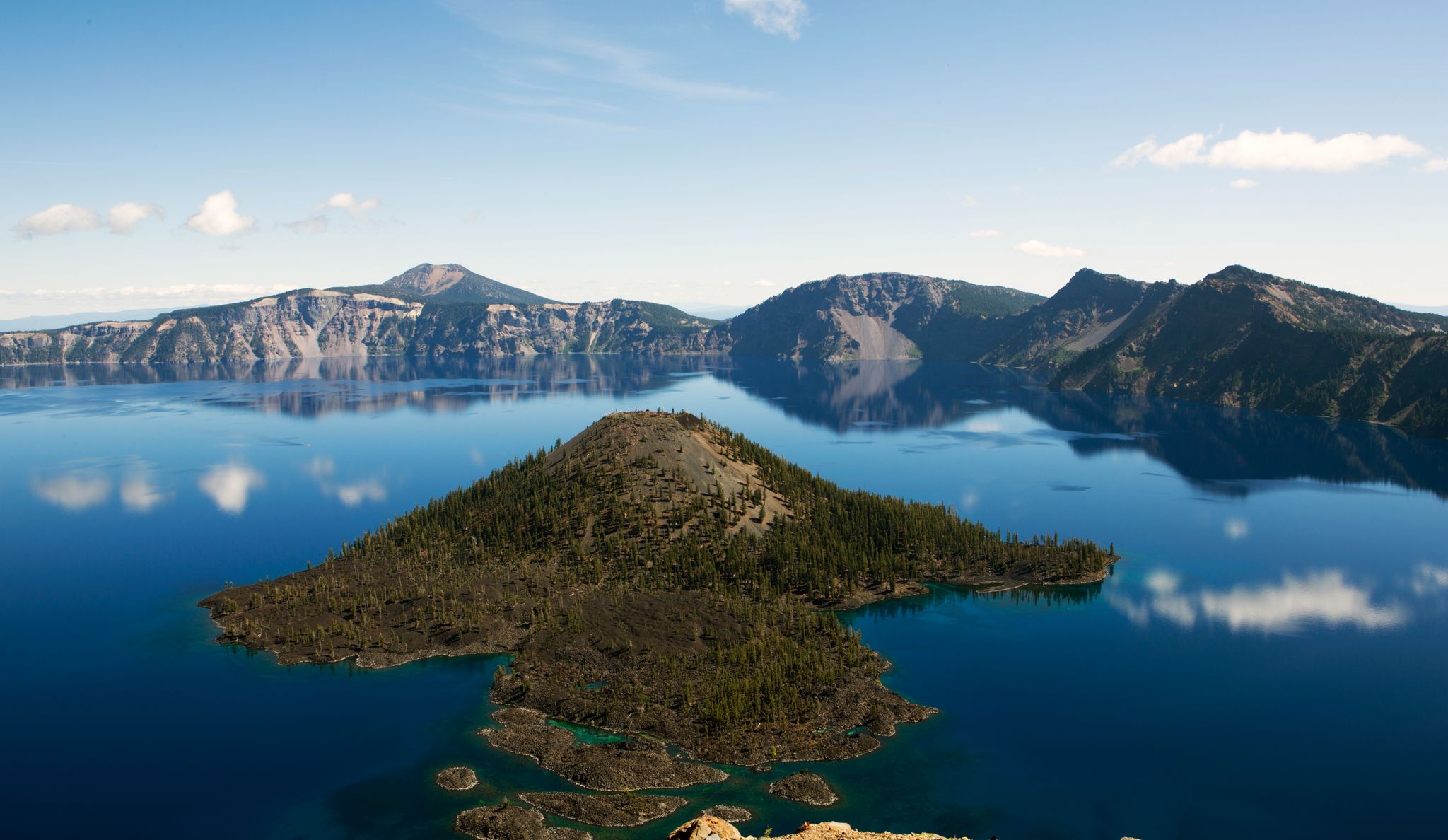
Volcanic peaks and glistening shores – discover Oregon and Washington
Hiking in Clackamas County
Cycling in Clackamas County
Running Trails in Clackamas County
Other adventures in Clackamas County


Tips from the Community

Council Crest Park spans 43 acres and is 1,073 feet above sea level, one of Portland's highest points. Visitors can enjoy city views and see five Cascade peaks: Mount Hood, Mount St. Helens, Mount Adams, Mount Jefferson, and Mount Rainier.
1
0

The Broadway Bridge was built in 1913. It was originally black, but was repainted red in 1963.
1
0

This trailhead marks a popular route for hikers in the area. It is .3 miles from the Wild Cherry Trail, .9 miles to the Dogwood Trail and 1.4 miles to the Alder Trail. If you head west, all of these connector trails reach the Wildwood Trail, which offers ample opportunities to create loop variations. It is important to note that parking is limited, especially on the weekends.
0
0

You can follow the Greenway for about two miles along the bank of the Willamette through downtown Portland. The trail takes you right along the water and is shared with hikers and dog walkers. The trail passes through a couple nice riverside parks and connects to plenty of other great cycling paths and roads.
0
0

The Eastbank Esplanade is the longest floating pedestrian and bike path in the United States, stretching 1,200 feet along the Willamette River. It offers great views of the river and the city of Portland.
0
0

This trail is a classic in Forest Park. It is popular with runners as well as walkers and cyclists. The trail is well maintained and runs through the forest from start to end, which makes it a great option for hot days.
1
0

This is a beautiful tree-lined stretch of road through Washington Park, with some fun ascents and descents. There are some quite steep sections along here but it's worth it for the scenery! Ride with caution as the road can be busy.
1
0

The Broadway Bridge is a Rall-type bascule bridge built in 1913 that spans the Willamette River in Portland. It was repainted in 1963, from plain black to a striking “Golden Gate red.” It has 4 lanes and sidewalks and was added to the National Register of Historic Places in November 2012.
0
0
Frequently Asked Questions
How many gravel bike trails are available in Clackamas County?
Clackamas County offers a diverse selection of over a dozen gravel biking routes. These trails range from moderate to difficult, providing options for various skill levels to explore the region's varied terrain.
Are there any easy or family-friendly gravel bike trails in Clackamas County?
While many routes are challenging, you can find a moderate option like the Springwater Corridor – Powell Butte loop from Southeast Holgate Boulevard. This 20.6 km route offers a less strenuous ride, making it suitable for those seeking a more relaxed experience or riding with family.
What kind of natural features can I expect to see on gravel bike trails in Clackamas County?
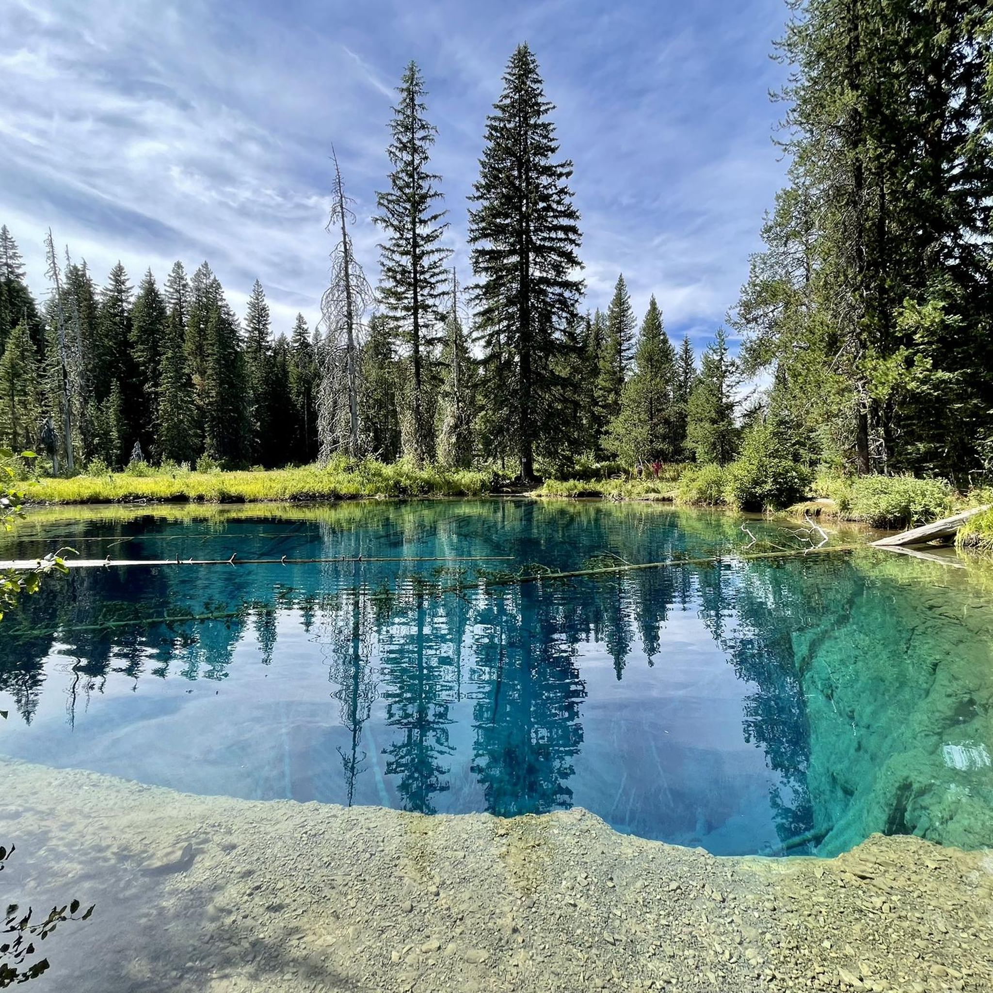
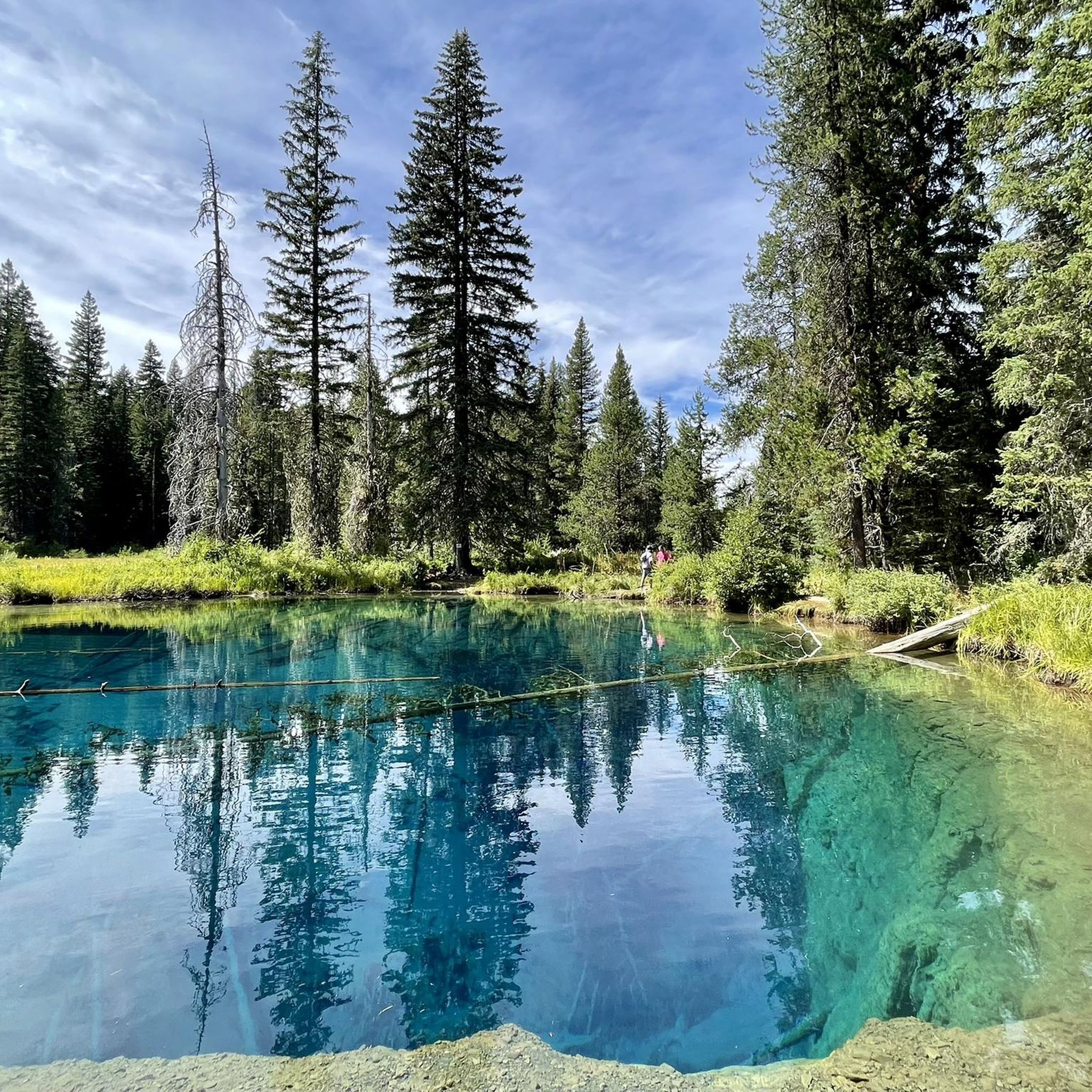
Clackamas County's gravel trails wind through a rich tapestry of natural landscapes. You'll encounter lush forests, scenic river valleys along the Clackamas, Willamette, and Sandy Rivers, and potentially views of Mount Hood. The region is also home to beautiful lakes like Trillium Lake and Mirror Lake, and stunning waterfalls such as Ramona Falls.
Are there any notable landmarks or points of interest along the gravel routes?
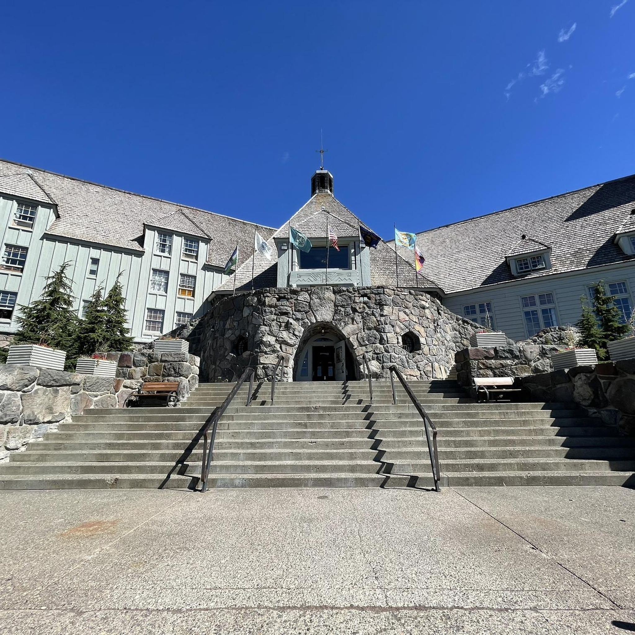
Yes, several routes offer access to significant landmarks. For instance, some trails provide views of the Clackamas River, and you might pass by historical structures like the Old 82nd Drive Bridge. The Mount Hood area also features iconic spots like Timberline Lodge.
What is the best time of year for gravel biking in Clackamas County?
Clackamas County offers gravel biking opportunities throughout much of the year. Spring and fall provide pleasant temperatures and vibrant scenery. While some higher elevation routes in Mount Hood National Forest might be affected by snow in winter, many lower elevation trails remain accessible, offering a different kind of riding experience.
Are there any long-distance or challenging gravel routes for experienced riders?
Absolutely. For experienced riders seeking a challenge, routes like the Leif Erikson Drive – Northwest Leif Erikson Drive loop from PSU South/Southwest 6th & College offer significant distances and elevation gains. This particular route spans nearly 68 km with over 1400 meters of ascent, providing a demanding and rewarding experience.
Can I find circular gravel biking routes in Clackamas County?
Many of the gravel routes in Clackamas County are designed as loops, allowing you to start and end at the same point. Examples include the Eastbank Esplanade – Blumenauer Bridge loop from Hollywood/Northeast 42nd Avenue, which covers over 45 km, and the Blumenauer Bridge – Eastbank Esplanade loop from Convention Center, a 60.5 km ride.
What do other gravel bikers say about the trails in Clackamas County?
The komoot community rates the gravel biking experience in Clackamas County highly, with an average score of 3.5 stars. Riders often praise the diverse terrain, from river valleys to dense forests, and the variety of routes that cater to different fitness levels.
Are there any routes that offer river views?
Yes, the county's geography is defined by its rivers, and several gravel routes offer picturesque views. The Willamette River view – Springwater Corridor loop from Southeast Bybee Boulevard is a prime example, providing extensive riverfront scenery along the Willamette River and through the Springwater Corridor.
Is there public transport access to gravel biking trails in Clackamas County?
While specific public transport access varies by route, some trails, particularly those closer to urban centers or along major corridors like the Springwater Corridor, may have better connections to public transport options. It's advisable to check local transit schedules and bike-friendly policies for your chosen starting point.
Where can I find parking for gravel bike trails in Clackamas County?
Parking availability depends on the specific trailhead. Many parks and trail access points throughout Clackamas County, especially those within Mount Hood National Forest or along major river access points, offer designated parking areas. For urban-adjacent routes, street parking or public lots might be available.
Are there any gravel routes that explore the Mount Hood National Forest?
Yes, a significant portion of Clackamas County lies within the Mount Hood National Forest, offering extensive gravel roads and trails. While not explicitly listed in the provided routes, the region research indicates that the "Frog Lake & Timothy Lake gravel loop" is a notable route within this forest, providing challenging rides with views of lakes and mountains.
Most popular routes in Clackamas County
Most popular attractions in Clackamas County

Get inspired with the komoot mobile app


Didn’t find what you were looking for?
Check out more Gravel rides throughout Clackamas County below and find the perfect route in your destination.
Explore more
Browse the best Gravel rides in other regions.
