The best gravel rides around Sureste
5.0
(3)
35
riders
21
rides
Gravel biking around Sureste features a landscape characterized by agricultural plains, river valleys, and gently rolling hills, primarily in the Valladolid province of Spain. The region offers a network of rural roads and tracks, often unpaved, that connect small towns and natural areas. Elevation changes are generally moderate, providing accessible routes for various skill levels. The terrain includes riverine areas and agricultural fields.
Best gravel bike trails around Sureste
- The most popular gravel bike trail is Tudela de Duero Bridge…
Last updated: September 27, 2026
5.0
(2)
5
riders
Hard gravel ride. Very good fitness required. Mostly paved surfaces. Suitable for all skill levels.
5
riders
67.5km
04:42
240m
240m
Moderate gravel ride. Good fitness required. Mostly paved surfaces. Suitable for all skill levels.

5.0
(1)
6
riders
25.1km
02:04
40m
40m
Moderate gravel ride. Good fitness required. Mostly paved surfaces. Suitable for all skill levels.
62.1km
04:17
390m
390m
Moderate gravel ride. Good fitness required. Mostly paved surfaces. Suitable for all skill levels.
5.0
(1)
6
riders
56.9km
04:37
560m
560m
Hard gravel ride. Very good fitness required. Mostly paved surfaces. Suitable for all skill levels.
5
riders
40.3km
03:01
70m
70m
Moderate gravel ride. Good fitness required. Mostly paved surfaces. Suitable for all skill levels.
2
riders
43.0km
03:16
100m
100m
Moderate gravel ride. Good fitness required. Mostly paved surfaces. Suitable for all skill levels.
Get access to more routes and recommendations from other explorers.
Already have an account?
Our route recommendations are based on thousands of hikes, rides, and runs completed by other people on komoot.
Start today with a free account
Your next adventure awaits.
Popular around Sureste
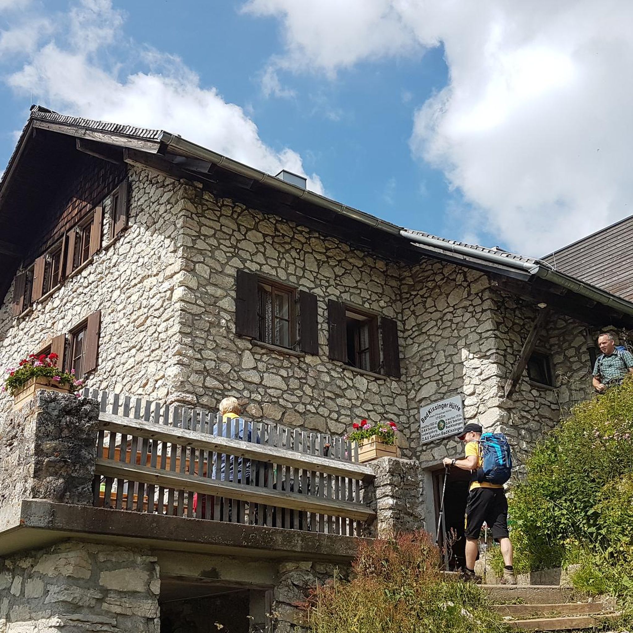
Gravel biking around La Pedraja De Portillo

Gravel biking around Portillo
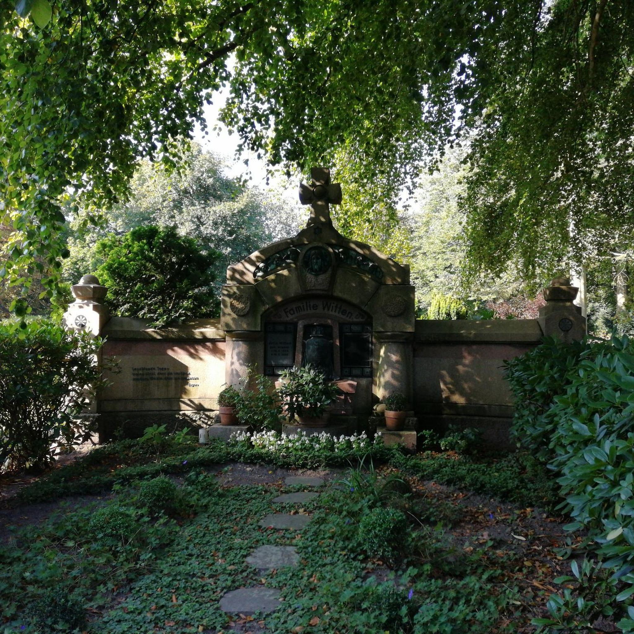
Gravel biking around La Parrilla
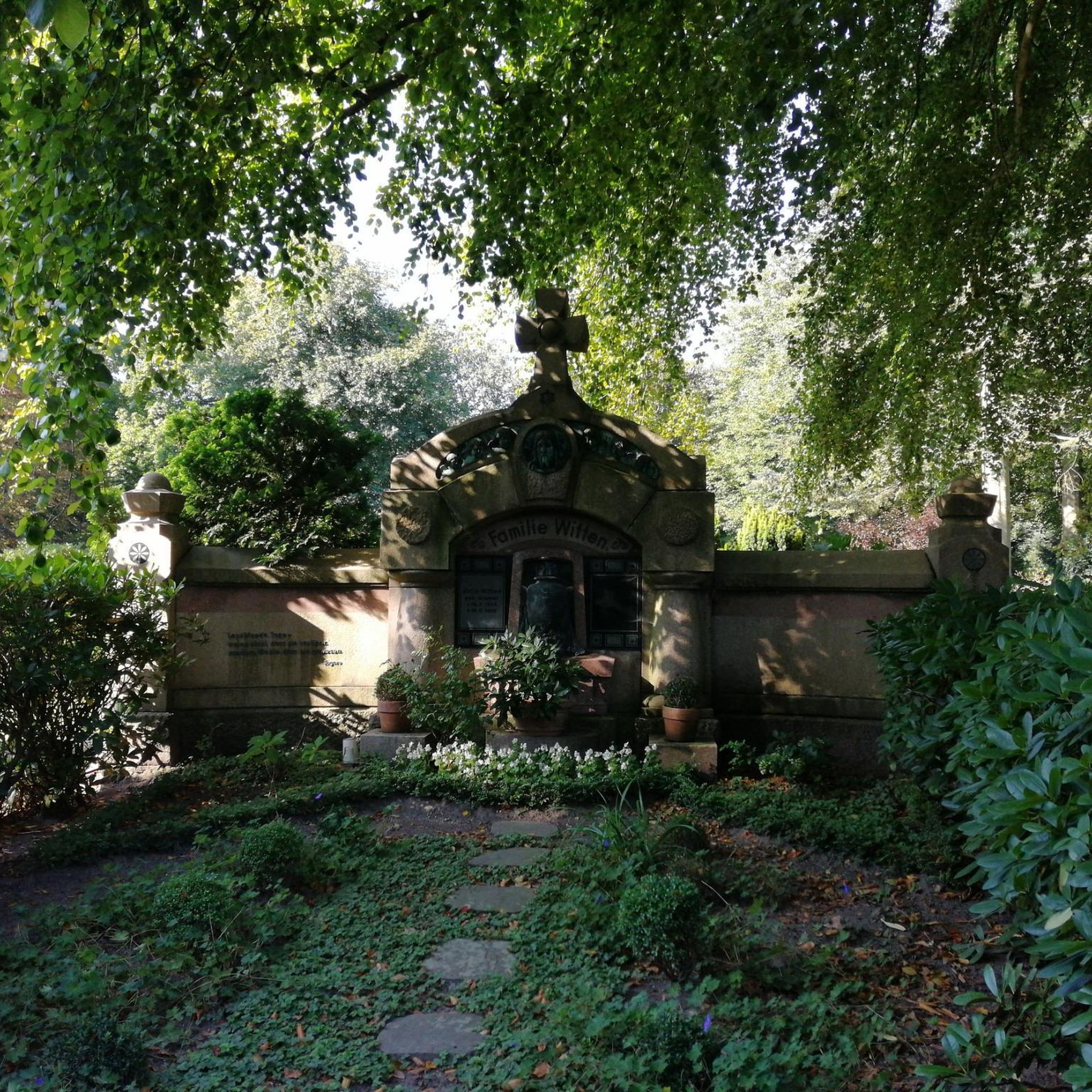
Gravel biking around Aldeamayor De San Martín
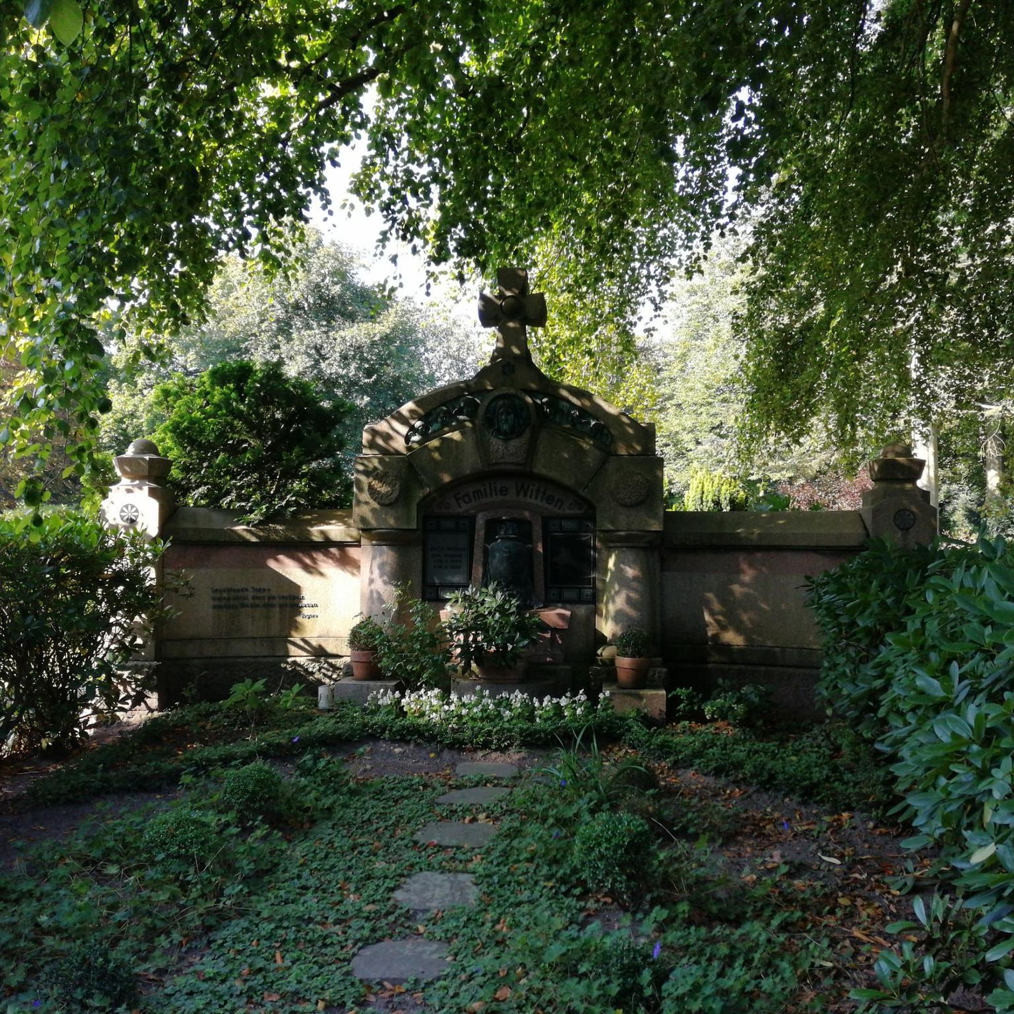
Gravel biking around Traspinedo
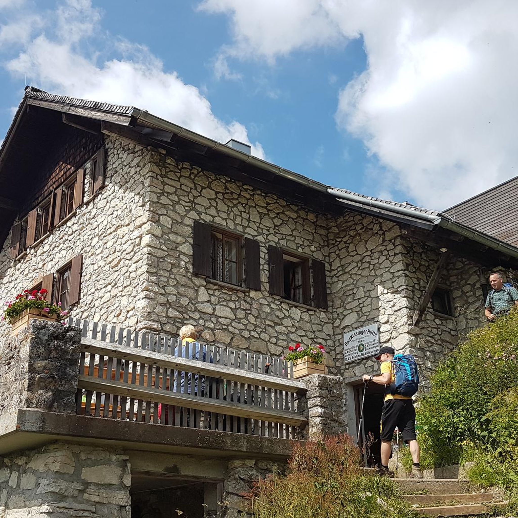
Gravel biking around Mojados
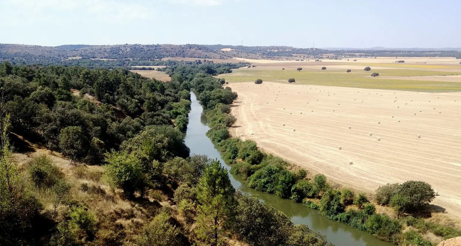
Downstream through Soria, Burgos and Valladolid in Spain – Eastern Douro Trail
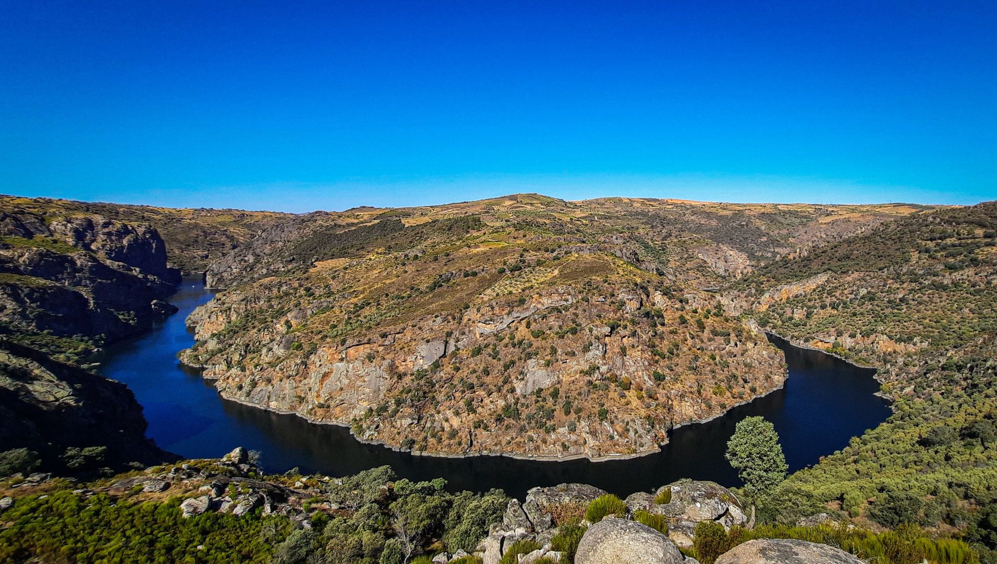
The Great Castilian River – Duero MTB Trail
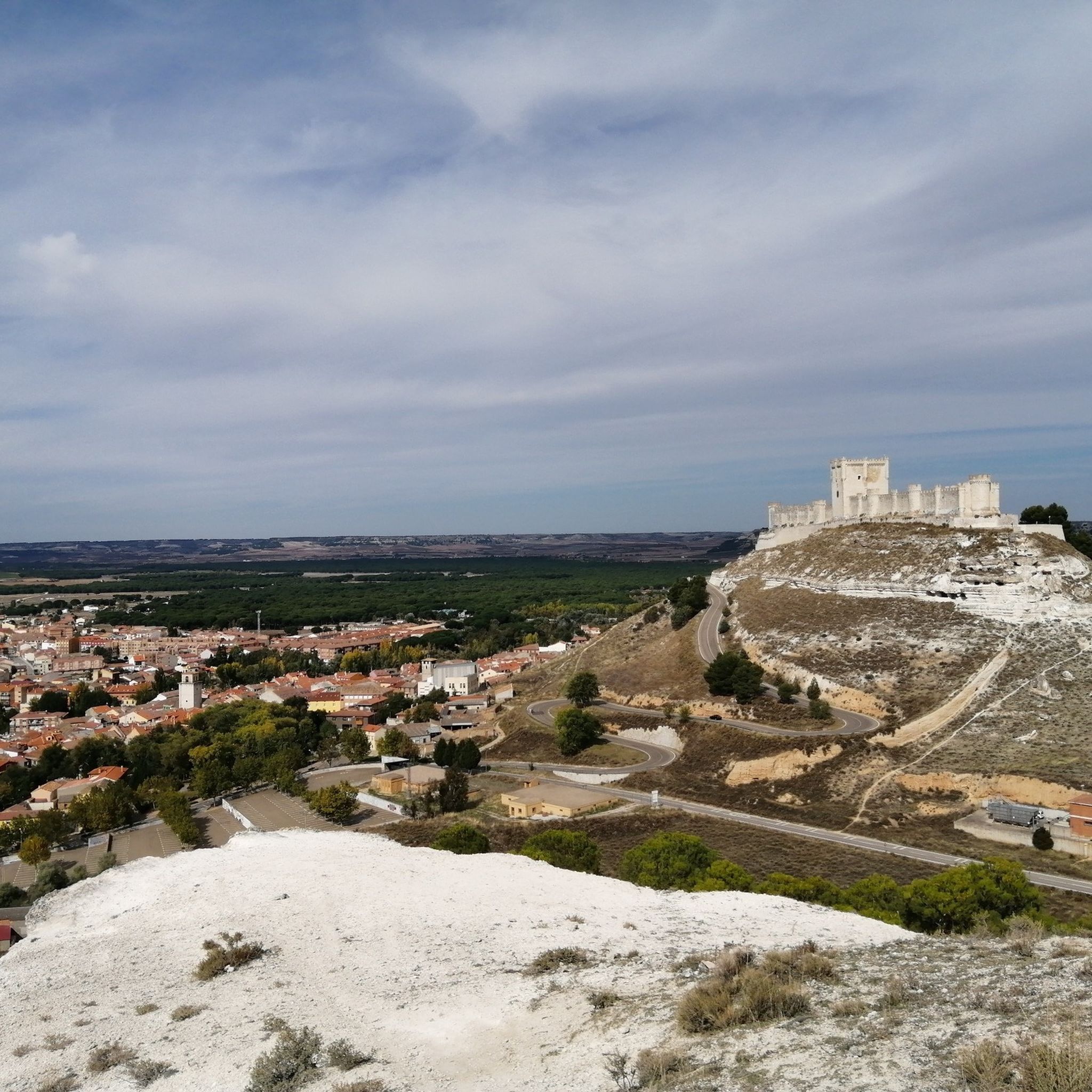
Hiking around Sureste
Road Cycling Routes around Sureste


Tips from the Community

Here ended a great flow trail.
0
0

corner of tranquility
0
0
Stop and take a picture
0
0

The medieval bridge over the Duero River, with its perfectly aligned arches, connects the historic center to the opposite bank. The monumental skyline of Tordesillas, highlighting the Plaza Mayor, the Casas del Tratado (Houses of the Treaty), and the Monastery of Santa Clara, all framed by reddish rooftops and the silhouette of the Church of San Antolín. The Duero River winds beneath the bridge, its reflections shifting with the changing light, creating a highly photogenic scene. Natural surroundings: riverside vegetation and, in autumn, golden hues that enhance the scenery.
6
0
The view of the Stone Bridge and Tordesillas from the viewpoint on Avenida de Portugal is considered one of the most beautiful panoramas of the town.
6
0

It's perfect during the rainy season
0
0

Next to the Sacedón Hermitage, in Pedrajas de San Esteban, near the Eresma River, stands a colossal, centuries-old pine tree on which a life-size human figure has been installed, representing a pine harvester, as a tribute to this profession, so closely linked to the town of Pedrajas, the Piñon region. It's striking to compare the impressive size of the pine tree with the small size of the person.
0
0
A simple shrine dedicated to the Virgin of Sacedón, located in a pleasant spot next to the Eresma River, on the old Royal Road from Madrid to Valladolid, now the Camino de Santiago from Madrid. Pilgrimage on the Monday of the Octave of Easter.
0
0
Frequently Asked Questions
How many gravel bike trails are available in Sureste?
There are 15 gravel bike trails in Sureste, offering a variety of experiences. You'll find 3 easy routes, 9 moderate routes, and 3 more challenging options.
Are there any easy gravel bike trails suitable for beginners or families?
Yes, Sureste offers several easy gravel bike trails. For a gentle ride, consider the Antequera Pine Forest – Start/End of MTB Route loop from Pinar de Antequera, which is about 20 km long and features minimal elevation gain, perfect for a relaxed outing.
What kind of terrain can I expect on gravel bike trails in Sureste?
The gravel bike trails in Sureste are characterized by agricultural plains, river valleys, and gently rolling hills. You'll encounter a network of rural roads and tracks, often unpaved, connecting small towns and natural areas. Elevation changes are generally moderate, providing accessible routes for various skill levels.
Are there any circular gravel bike routes in Sureste?
Many of the gravel routes in Sureste are designed as loops. For example, the popular Canal de Laguna – Portillo Castle loop from Laguna de Duero is a moderate 54.1 km circular trail, and the Simancas – Simancas Stone Bridge loop from Puente Duero offers a shorter 28.7 km option.
What are some interesting landmarks or attractions I can see along the gravel bike trails?
Many routes pass by historical sites. You can explore castles like Portillo Castle or Peñafiel Castle. Some trails also lead past religious buildings such as San Juan Church, Mojados, offering a glimpse into the region's heritage.
What do other gravel bikers enjoy most about gravel biking in Sureste?
The area is highly rated by the komoot community, with an average score of 5.0 stars. Reviewers often praise the varied terrain, from riverine areas to agricultural fields, and the opportunity to explore charming small towns and historical sites like castles along the way.
Are there any longer, more challenging gravel routes for experienced riders?
Yes, for experienced riders seeking a challenge, the Presa de Alcazarén – San Juan Church, Mojados loop from Íscar is a difficult 56.9 km path with significant elevation gains. Another longer option is the Tudela de Duero Bridge – Portillo Castle loop from Santibáñez de Valcorba, covering 62.2 km.
Can I find routes that follow river valleys or greenways?
Absolutely. Sureste's landscape is defined by river valleys, and some routes incorporate these features. For instance, the Tudela de Duero Bridge – Rest Area on the Greenway loop from Tudela de Duero is a moderate 63.2 km route that includes sections along a greenway, offering pleasant riverside riding.
Are there any routes that start from or pass through the town of Tudela de Duero?
Yes, Tudela de Duero is a common starting point or feature on several routes. You can find the Tudela de Duero Bridge loop from Tudela de Duero, a moderate 43 km ride, or the Herrera de Duero Church – Tudela de Duero Bridge loop from Tudela de Duero, an easy 28.6 km option.
What is the typical elevation gain on gravel bike trails in Sureste?
Elevation gains vary depending on the route's difficulty. Easy routes, like the Antequera Pine Forest loop, have minimal climbs (around 36 meters). Moderate routes typically feature elevation gains between 100-400 meters, while more difficult trails, such as the Presa de Alcazarén loop, can have over 560 meters of ascent.
Are there any routes near Simancas?
Yes, there are routes that start near or pass through Simancas. The Simancas – Simancas Stone Bridge loop from Puente Duero is a moderate 28.7 km route, and the Simancas – Simancas Stone Bridge loop from Covaresa offers a slightly longer 37.1 km option, both featuring the historic Simancas Stone Bridge.
Most popular routes around Sureste
Most popular attractions around Sureste

Get inspired with the komoot mobile app


Didn’t find what you were looking for?
Check out more Gravel rides throughout Sureste below and find the perfect route in your destination.
