The best gravel rides around Mancha Baja
4.8
(15)
64
riders
24
rides
Gravel biking around Mancha Baja features routes across a landscape characterized by extensive plains, agricultural fields, and scattered low hills. The region's terrain is generally flat to gently rolling, offering long stretches of unpaved roads suitable for gravel bikes. Elevations are typically modest, with few significant climbs, making it accessible for various skill levels. The area provides a network of trails connecting rural villages and natural areas.
Best gravel bike trails around Mancha Baja
- The most popular gravel bike trail…
Last updated: October 6, 2026
4
riders
57.2km
04:25
180m
180m
Moderate gravel ride. Good fitness required. Mostly paved surfaces. Suitable for all skill levels.
4
riders
70.4km
05:20
370m
370m
Hard gravel ride. Very good fitness required. Mostly paved surfaces. Suitable for all skill levels.

1
riders
38.5km
02:56
100m
100m
Moderate gravel ride. Good fitness required. Mostly paved surfaces. Suitable for all skill levels.
1
riders
43.0km
03:13
140m
140m
Moderate gravel ride. Good fitness required. Mostly paved surfaces. Suitable for all skill levels.
4
riders
96.0km
07:20
1,060m
1,060m
Hard gravel ride. Very good fitness required. Mostly paved surfaces. Suitable for all skill levels.
2
riders
35.8km
02:34
180m
180m
Moderate gravel ride. Good fitness required. Mostly paved surfaces. Suitable for all skill levels.
5.0
(1)
2
riders
34.0km
02:23
170m
170m
Moderate gravel ride. Good fitness required. Mostly paved surfaces. Suitable for all skill levels.
3
riders
76.6km
05:30
220m
220m
Hard gravel ride. Very good fitness required. Mostly paved surfaces. Suitable for all skill levels.
1
riders
33.5km
02:46
250m
250m
Moderate gravel ride. Good fitness required. Mostly paved surfaces. Suitable for all skill levels.
1
riders
34.2km
02:58
390m
390m
Moderate gravel ride. Good fitness required. Mostly paved surfaces. Suitable for all skill levels.
Get access to more routes and recommendations from other explorers.
Already have an account?
Our route recommendations are based on thousands of hikes, rides, and runs completed by other people on komoot.
Start today with a free account
Your next adventure awaits.
Popular around Mancha Baja

Gravel biking around the Zncara

Gravel biking around Casas De Haro

Gravel biking around Pozoamargo

Gravel biking around Las Mesas

Gravel biking around Vara De Rey

Gravel biking around Las Pedroñeras

Gravel biking around El Provencio
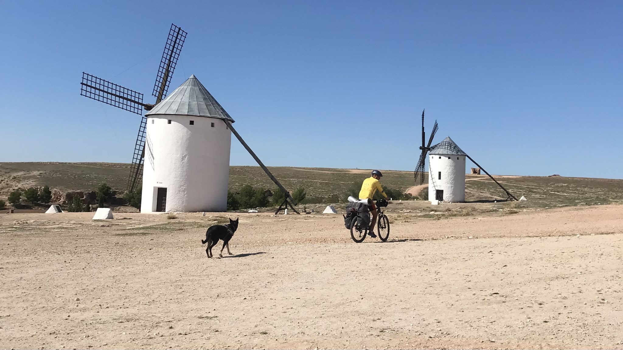
Don Quixote's route – The knight of the sorry face
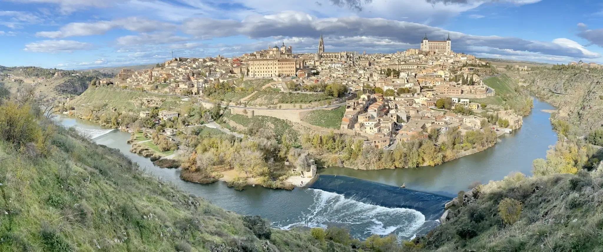
A journey to the interior of the Iberian Peninsula – Levante Way (GR 239)
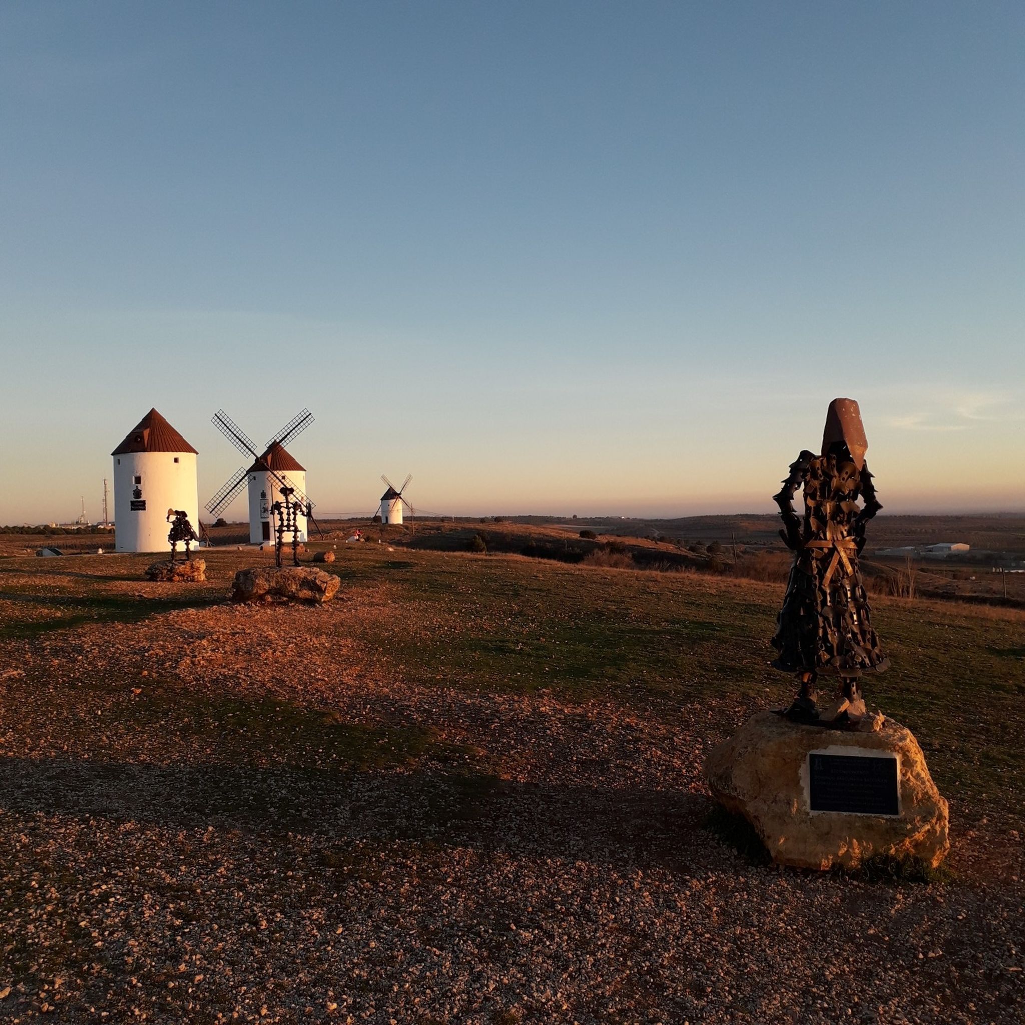
Hiking around Mancha Baja

Tips from the Community

A beautiful castle, now converted into a Parador (state-run hotel).
0
1

It is a traditional stone bridge, integrated into the landscape of the gorges. It forms part of the historic center of Alarcón, declared a Historic-Artistic Site.
2
0
The Henchidero Bridge is located near Alarcón (Cuenca), within the Hoces del Júcar natural area. It is a historic bridge that crosses the Júcar River downstream from the Alarcón Reservoir, very close to the small Henchidero Dam, which regulates the flow in this area. It is on the PR-CU71 "From Bridge to Bridge..." route, which connects the Picazo Bridge with the Henchidero Bridge, following the course of the Júcar River.
2
0
It offers a breathtaking panoramic view of the Júcar River's meander, Alarcón Castle, and the vertical canyons carved by the river. You can also see the small dam (Henchidero Dam), the Tébar Bridge, and the defensive towers that flank the gorge.
2
0
The Alarcón viewpoint overlooking the Júcar River gorges is part of the PR-CU71 trail. The viewpoint is located just before entering Alarcón from the CUV-8033 road, on a clearing next to the Torre de Armas (Tower of Arms), at the beginning of the PR-CU71 "From Bridge to Bridge..." trail. It has free parking and an information panel about the route.
3
0
The name of this town originates from its role as a crossroads on the ancient routes that connected Complutum with Carthago Nova in Roman times, and on the Silk Road that linked Toledo with Valencia and Cartagena. It derives from the Arabic word "rutba," the tax paid for the passage of livestock. A true inheritor of so many peoples and cultures, La Roda has absorbed the best of each, evident in its beautiful town center, its magnificent Church of El Salvador, and the Palaces of the Doctor de La Encina and the Counts of Villaleal. It is currently very well connected to the provincial capital, Albacete, from which it is only 36 km away. The entire town center has been declared a Site of Cultural Interest for its historical and artistic value.
7
0
The typical houses of La Mancha in Las Pedroñeras and the surrounding region feature a very distinctive architecture, characterized by functionality and adaptation to the climate and agricultural life. Traditional materials: They were built with rammed earth (compacted mud) and adobe bricks mixed with straw. The roofs were made with poles, reeds, and plaster, and reinforced with green esparto grass ropes. White facades and indigo baseboards: The whitewash served to keep the houses cool and disinfect the walls, while the indigo blue on the baseboards and frames had both a functional and superstitious origin (to ward off insects and evil spirits).
5
0
Frequently Asked Questions
How many gravel bike trails are available in Mancha Baja?
Mancha Baja offers a diverse network of over 20 gravel bike trails. These routes traverse the region's characteristic plains, agricultural fields, and low hills, providing options for various skill levels.
Are there easy gravel bike trails suitable for beginners in Mancha Baja?
Yes, Mancha Baja is well-suited for beginners, with its generally flat to gently rolling terrain. There is 1 easy route and 15 moderate routes that are accessible for those new to gravel biking. These trails often feature long stretches of unpaved roads with modest elevations.
What is the typical length and duration of gravel bike routes in Mancha Baja?
The gravel bike routes in Mancha Baja vary in length, with many falling into the moderate distance category. For example, the Hill Esplanade – Pinar de Vadohondo loop from Socuéllamos is 23.9 miles (38.5 km) and takes about 3 hours 25 minutes. Longer options are also available for more experienced riders.
Are there any challenging gravel bike routes for advanced riders?
Absolutely. While much of the terrain is gentle, Mancha Baja does offer more challenging options. The region has 6 difficult routes, such as the Hermitage of San Cristóbal – Truncated Lives Monument loop from Villarrobledo, which is 43.1 miles (69.4 km) and includes more significant elevation gains across varied terrain.
What kind of natural and historical attractions can I see along the gravel bike trails?
Mancha Baja's gravel trails often pass by interesting landmarks. You might encounter historical sites like the Castle of Santiago de la Torre or the impressive Castillo de Belmonte. The region also features unique sights such as traditional Windmills and natural areas like the Manjavacas Lagoon.
Are there circular gravel bike routes in Mancha Baja?
Yes, many of the gravel bike routes in Mancha Baja are designed as loops, allowing you to start and finish in the same location. An example is the Pozoamargo Park – Sisante loop from Sisante, a moderate 35.8-mile (57.6 km) trail.
What do other gravel bikers enjoy most about gravel biking in Mancha Baja?
The komoot community highly rates gravel biking in Mancha Baja, with an average score of 4.76 stars from over 15 reviews. Riders often praise the region's open landscapes, the variety of routes connecting rural villages, and the accessibility for different skill levels.
Are there family-friendly gravel bike routes in Mancha Baja?
Given the predominantly flat to gently rolling terrain, many of Mancha Baja's moderate routes are suitable for families. These trails offer a pleasant experience through agricultural fields and low hills, without significant climbs. Look for routes with lower elevation gains for a more relaxed family outing.
What are the typical trail conditions for gravel biking in Mancha Baja?
The gravel bike trails in Mancha Baja primarily consist of unpaved roads, often through agricultural areas and open plains. Conditions are generally good, but can vary with weather. After rain, some sections might be muddy, while dry periods can lead to dusty paths. It's always advisable to check local conditions before heading out.
Are there less crowded or 'hidden gem' gravel trails in Mancha Baja?
Mancha Baja's extensive network of rural roads means it's often possible to find quieter routes away from more popular spots. While specific 'hidden gems' are best discovered through local exploration, routes like the Monreal del Llano loop from Los Hinojosos offer a chance to experience the region's serene landscapes.
What is the best time of year to go gravel biking in Mancha Baja?
The best time for gravel biking in Mancha Baja is typically during spring (April-May) and autumn (September-October). During these seasons, temperatures are milder and more comfortable for riding. Summers can be very hot, and winters can be chilly, though riding is possible year-round with appropriate gear.
Are there any gravel bike routes that pass through towns or villages with cafes?
Many gravel routes in Mancha Baja connect rural villages, offering opportunities to stop for refreshments. While specific cafe information isn't always detailed on every route, planning a route that passes through larger towns like Villarrobledo or Socuéllamos, or smaller villages, will likely provide options for cafes or local shops.
Where can I find parking for gravel bike trails in Mancha Baja?
For many routes starting from towns or villages, you can typically find public parking in the vicinity. For example, routes originating from Villarrobledo or Socuéllamos will have parking options within those towns. For more rural starting points, look for designated parking areas or safe roadside spots, always respecting local regulations.
Most popular routes around Mancha Baja
Most popular attractions around Mancha Baja

Get inspired with the komoot mobile app


Didn’t find what you were looking for?
Check out more Gravel rides throughout Mancha Baja below and find the perfect route in your destination.
Explore more
Browse the best Gravel rides in other regions.
