The best gravel rides around La Plagne-Tarentaise
4.5
(24)
247
riders
34
rides
Gravel biking around La Plagne-Tarentaise offers diverse alpine landscapes, from deep valleys to high-altitude summits. The region is characterized by extensive trail networks traversing mountain peaks, passes, and tranquil forests. Natural features such as the Vanoise National Park, glaciers, and mountain lakes provide varied terrain for gravel bike trails. This area presents a blend of challenging climbs and descents suitable for experienced riders.
Best gravel bike trails around La Plagne-Tarentaise
- The most popular gravel bike trail is View of Les Arcs Landscape – Arc 1950 Mountaineer's Refuge loop from Arc 1800, a difficult 28.0 miles (45.1 km) path. It offers views of the Les Arcs landscape and high-altitude terrain.
- Another top favourite among local gravel bikers is Roselend Dam – Col du Pré loop from Bourg-Saint-Maurice, a difficult 51.2 miles (82.4 km) trail that takes about 6 hours 51 minutes to complete. This route features significant elevation gains through alpine scenery.
- Local gravel bikers also love the Pumptrack – Rafting & Relaxing Area loop from Aime, a 30.4 miles (48.9 km) trail leading through river valleys and mountainous terrain, often completed in about 3 hours 59 minutes.
- Gravel biking around La Plagne-Tarentaise is defined by alpine landscapes, deep valleys, and high-altitude summits. The network offers options for different ability levels, from moderate to difficult.
- The routes in La Plagne-Tarentaise are highly rated by the komoot community with an average score of 4.6 stars from over 7 reviews. More than 120 gravel bikers have used komoot to explore La Plagne-Tarentaise's varied terrain.
Last updated: October 6, 2026
4.5
(2)
26
riders
43.1km
03:21
990m
990m
Hard gravel ride. Very good fitness required. Mostly paved surfaces. Suitable for all skill levels.
6
riders
30.3km
02:54
1,080m
1,080m
Hard gravel ride. Very good fitness required. Mostly paved surfaces. Suitable for all skill levels.

4.8
(4)
32
riders
43.2km
03:44
1,640m
1,640m
Hard gravel ride. Very good fitness required. Mostly paved surfaces. Suitable for all skill levels.
5.0
(1)
25
riders
49.0km
04:00
1,560m
1,560m
Hard gravel ride. Very good fitness required. Mostly paved surfaces. Suitable for all skill levels.
4.5
(2)
11
riders
41.8km
04:12
1,560m
1,560m
Hard gravel ride. Very good fitness required. Mostly paved surfaces. Suitable for all skill levels.
Get access to more routes and recommendations from other explorers.
Already have an account?
Our route recommendations are based on thousands of hikes, rides, and runs completed by other people on komoot.
Start today with a free account
Your next adventure awaits.
Popular around La Plagne-Tarentaise
Europe Trail (GR 5) – Hike from Landry to Thonon-les-Bains
Five days of alpine fastpacking - Ultra Tour du Beaufortain

Hike from Savoie to Vanoise – Hexatrek in France’s Northern Alps
Hiking around La Plagne-Tarentaise
Running Trails around La Plagne-Tarentaise
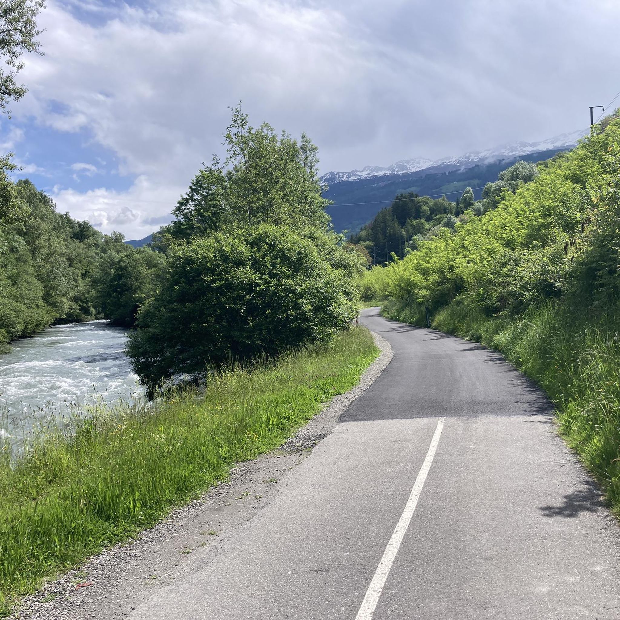
Cycling around La Plagne-Tarentaise
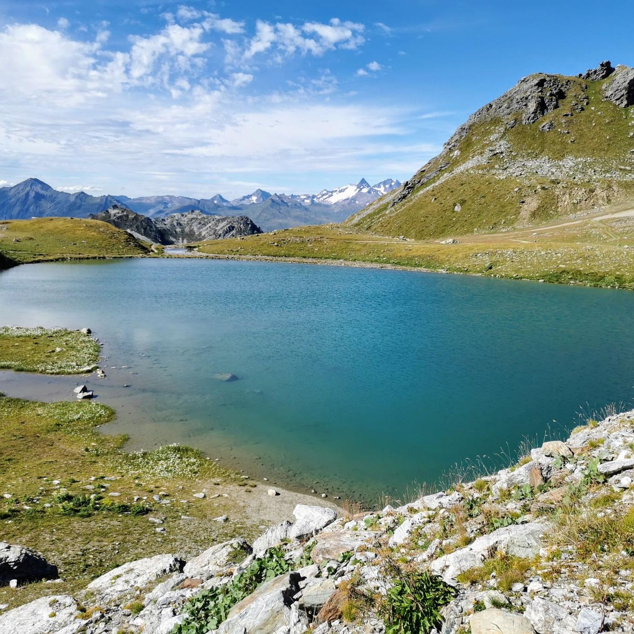
MTB Trails around La Plagne-Tarentaise
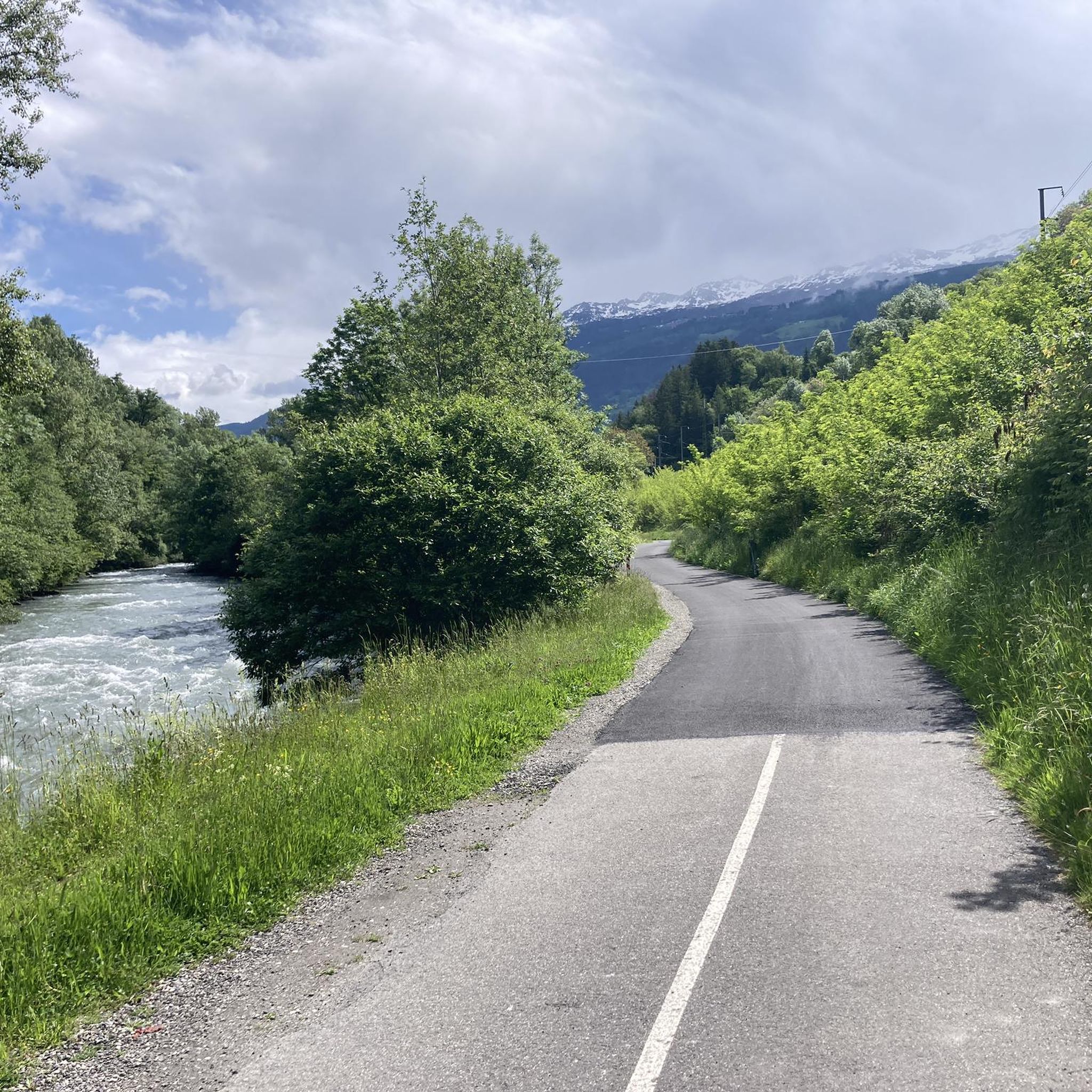
Road Cycling Routes around La Plagne-Tarentaise
Mountain Hikes around La Plagne-Tarentaise
Other adventures around La Plagne-Tarentaise


Tips from the Community

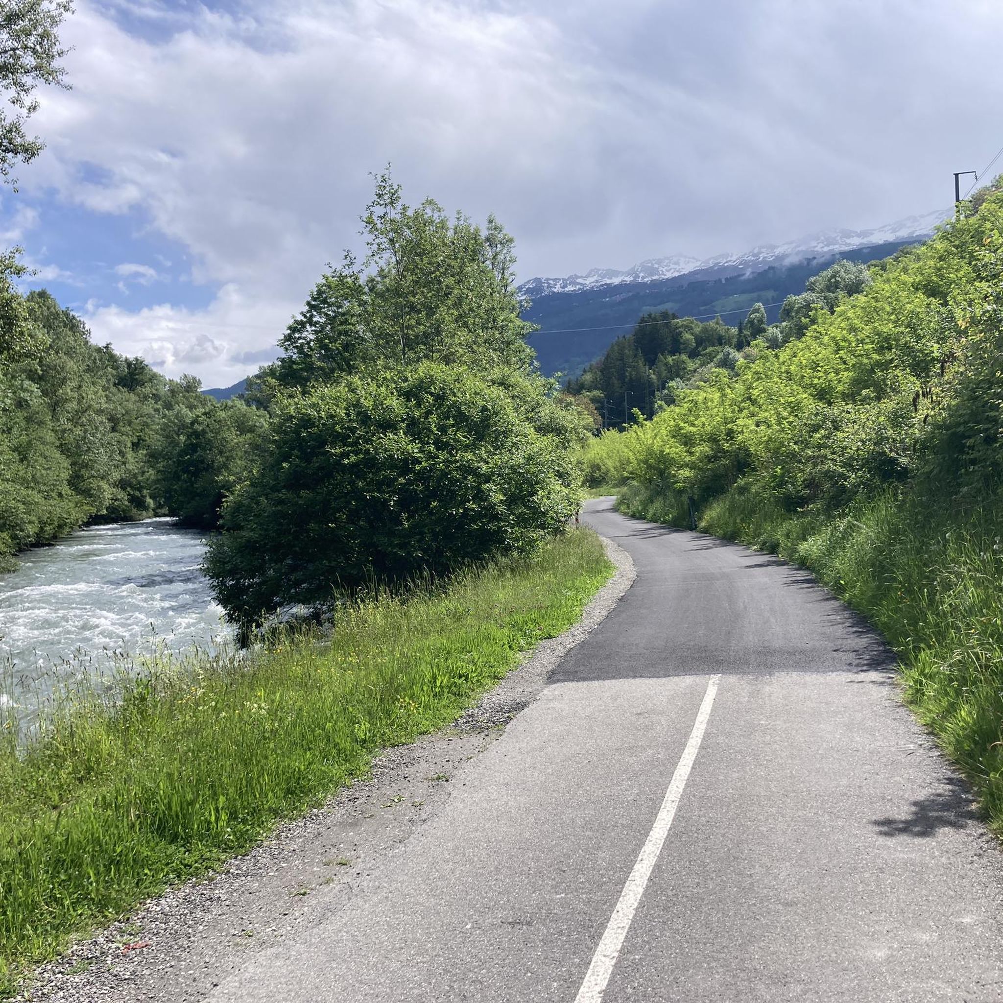
A beautiful cycle path along the river Isere
0
0

Place on the D915, already suffering from through traffic. Some nice corners and a water source at the town hall.
3
0

It allows you to go from Bourg Saint-Maurice to Moutiers away from the road except for two points.
0
0
By bike and cable car to Src1600
2
0
Beautiful place of Beaufort cheese, even with a restaurant.
2
0
Cycle path along the Isere.
2
0
Frequently Asked Questions
How many gravel bike trails are available in La Plagne-Tarentaise?
La Plagne-Tarentaise offers a network of nearly 40 gravel bike trails, catering to various skill levels across its diverse alpine landscapes. While many routes present a significant challenge, there are also moderate options available.
What kind of terrain and elevation can I expect on gravel bike trails in La Plagne-Tarentaise?
The region is characterized by diverse alpine landscapes, ranging from deep valleys to high-altitude summits. You can expect a mix of challenging climbs and descents, with routes often featuring significant elevation gains. For example, the Roselend Chapel – Roselend Dam loop from Aime involves over 3,100 meters of ascent, making it suitable for experienced riders.
Are there any family-friendly gravel biking options in La Plagne-Tarentaise?
While many trails in La Plagne-Tarentaise are rated as difficult, there are some moderate options that might be more suitable for families or those seeking a less strenuous ride. For instance, the Les Arcs funicular – the Isère loop from Landry is a moderate 25 km route with a more manageable elevation gain, offering a pleasant experience for a wider range of riders.
What natural features and landmarks can I see along the gravel bike trails?
La Plagne-Tarentaise is rich in natural beauty. You can encounter stunning mountain peaks, passes like the Col de la Croix du Bonhomme, tranquil forests, and picturesque mountain lakes. Highlights include the Roselend Dam and the scenic Cormet de Roselend. The region is also home to parts of the Vanoise National Park, offering pristine natural environments.
What do other gravel bikers enjoy most about riding in La Plagne-Tarentaise?
The gravel biking routes in La Plagne-Tarentaise are highly rated by the komoot community, with an average score of 4.6 stars. Riders often praise the stunning alpine scenery, the challenging and varied terrain, and the less crowded trails compared to more established biking resorts, which allows for a more serene riding experience.
Are there any circular gravel bike routes available?
Yes, many of the gravel bike trails in La Plagne-Tarentaise are designed as loops, allowing you to start and finish at the same point. Examples include the challenging View of Les Arcs Landscape – Arc 1950 Mountaineer's Refuge loop from Arc 1800 and the Towards Cormet de Roselend – Serpentine Route loop from Les Lanches.
What is the best time of year for gravel biking in La Plagne-Tarentaise?
Given its alpine location, the best time for gravel biking in La Plagne-Tarentaise is typically during the warmer months, from late spring to early autumn. This period offers more favorable weather conditions and ensures that high-altitude passes and trails are clear of snow, providing access to the full network of routes.
Are there any mountain huts or refuges along the gravel bike trails?
Yes, the region features numerous mountain huts and refuges that can serve as stopping points or overnight stays for longer excursions. Notable examples include the Col de la Croix du Bonhomme Refuge and Presset Refuge, which are often found along or near popular routes.
Can I find trails that offer views of the Les Arcs landscape?
Absolutely. The View of Les Arcs Landscape – Arc 1950 Mountaineer's Refuge loop from Arc 1800 is a difficult 45.6 km route specifically designed to offer stunning views of the Les Arcs landscape and high-altitude terrain, providing a memorable riding experience.
Are there any gravel bike trails that follow the Isère river?
Yes, you can find routes that incorporate the Isère river. The The Isère – Isère Cycle Path loop from Valezan is a challenging 40.8 km trail that includes sections along the Isère, offering a different perspective of the region's waterways and valleys.
What are the typical lengths of gravel bike trails in La Plagne-Tarentaise?
Trail lengths vary significantly, from shorter moderate loops around 25 km to extensive and challenging routes exceeding 90 km. For example, the Roselend Chapel – Roselend Dam loop from Aime is nearly 92 km long, while the Les Arcs funicular – the Isère loop from Landry is about 25 km.
Most popular routes around La Plagne-Tarentaise
Most popular attractions around La Plagne-Tarentaise

Get inspired with the komoot mobile app


Explore more
Browse the best Gravel rides in other regions.
