The best gravel rides around Artas
3.9
(15)
90
riders
26
rides
Gravel biking around Artas features a landscape characterized by undulating terrain and varied surfaces suitable for cycling. The region provides a mix of challenging climbs and diverse paths, catering to different fitness levels. Routes navigate through areas with notable elevation changes, offering options from moderate to difficult.
Best gravel bike trails around Artas
- The most popular gravel bike trail is Étang de Chalignieu – Crémieu–Morestel Greenway loop from L'Isle-d'Abeau, a 30.4 miles (48.9 km) trail that takes 4 hours…
Last updated: October 6, 2026
36
riders
Hard gravel ride. Very good fitness required. Mostly paved surfaces. Suitable for all skill levels.
3.5
(4)
9
riders
50.2km
03:20
630m
630m
Hard gravel ride. Very good fitness required. Mostly paved surfaces. Suitable for all skill levels.

4
riders
50.4km
03:18
500m
500m
Hard gravel ride. Very good fitness required. You may need to push your bike for some segments of this route.
7
riders
28.2km
01:37
140m
140m
Easy gravel ride. Great for any fitness level. Mostly paved surfaces. Suitable for all skill levels.
3.8
(6)
10
riders
34.9km
02:38
530m
530m
Hard gravel ride. Very good fitness required. Mostly paved surfaces. Suitable for all skill levels.
Get access to more routes and recommendations from other explorers.
Already have an account?
Our route recommendations are based on thousands of hikes, rides, and runs completed by other people on komoot.
Start today with a free account
Your next adventure awaits.
Tips from the Community

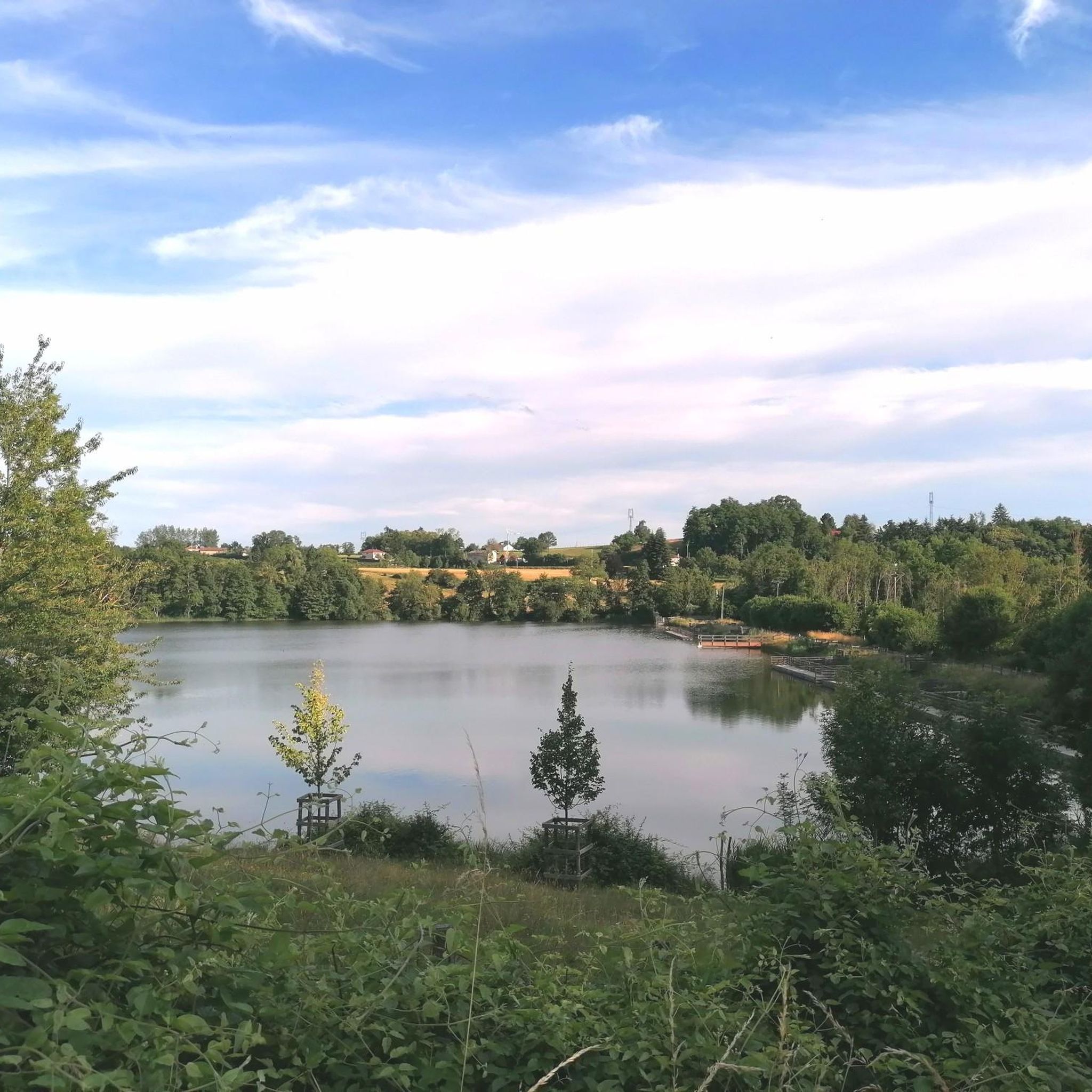
The "Trois Eaux" designation traditionally refers to the three distinct sources or supply networks (coming from wetlands, runoff from surrounding hills, and local springs) that join to form and maintain the level of this pond.
0
0
The Voie verte des Balcons du Dauphiné is a 18-kilometer-long secure cycle and pedestrian path, built on the route of the former Est Lyonnais railway line. It connects the medieval town of Crémieu to the municipality of Arandon-Passins, where it connects directly to the ViaRhôna.
0
0
The commune of Vertrieu, located in the department of Isère within the Balcons du Dauphiné, has the unique particularity of housing two major historical buildings: the Château Vieux (or Maison-Forte) and the Château Neuf (or Château Moderne).
0
0
This rural village, bordered by the Rhône and the spectacular cliffs of Isle Crémieu, has just over 1,200 inhabitants (the Hiérois) and is part of the Balcons du Dauphiné community of municipalities.
0
0
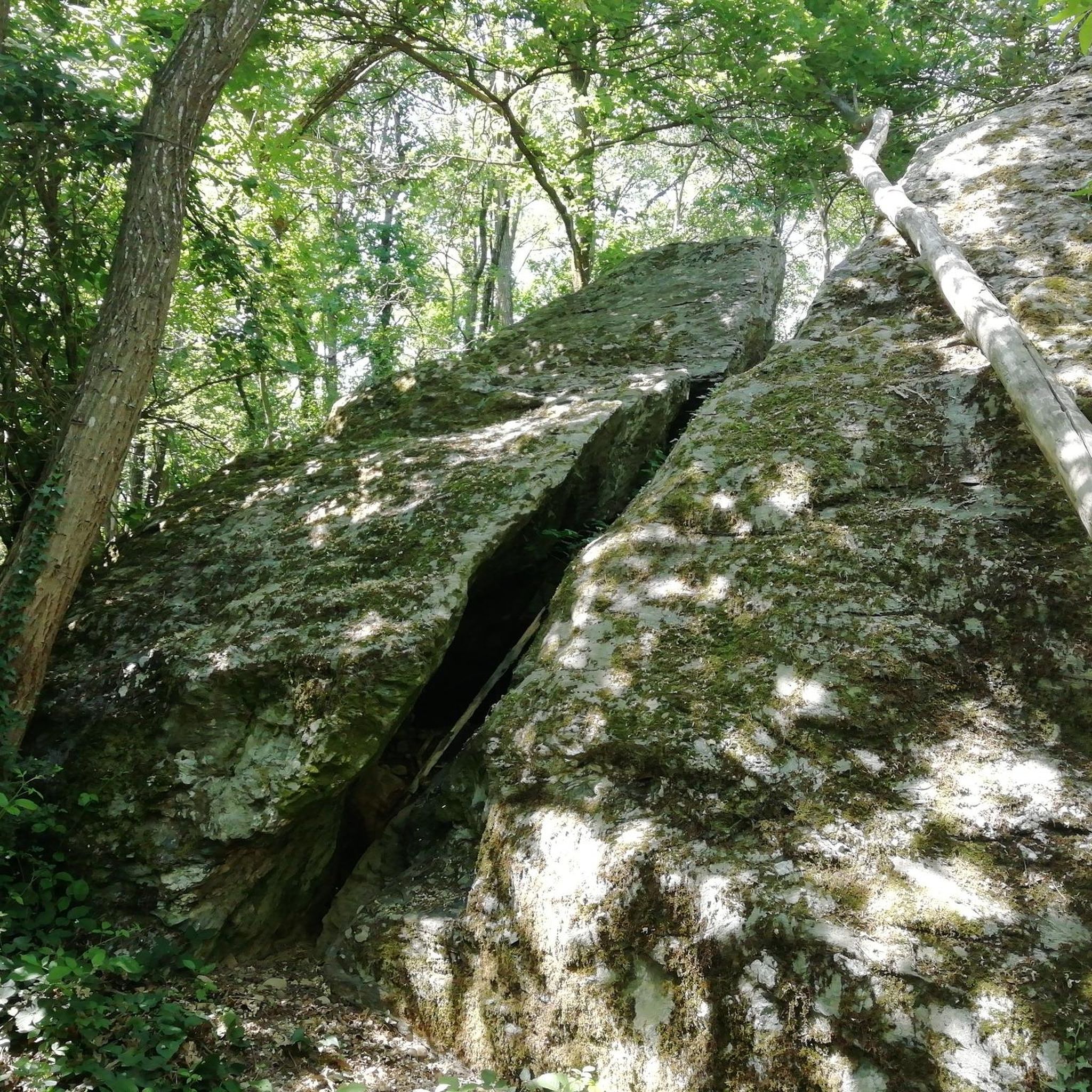
It formerly depended on the domain of the Montbaly (or Monbaly) castle. Its primary function, however, remains uncertain and fuels several hypotheses: A pleasure pavilion (or "garden folly") for the castle owners. A hunting rendezvous point.A sounding box used to relay horn calls. An old postal relay station or a place of contemplation.
0
0
The Voie Verte de la Bourbre is a secure development of about 8.5 kilometers reserved for non-motorized travel (bicycles, pedestrians, strollers, rollerblades). Managed by the CAPI (Communauté d'Agglomération de la Porte de l'Isère), it pleasantly follows the Bourbre river and today connects the towns of Bourgoin-Jallieu, L'Isle-d'Abeau and Vaulx-Milieu.
0
0
Small isolated building in the place called Villieu (former islet in the heart of the Bourgoin marshes), consisting of a small nave lit by a bay on each side and extended by an apse with a lower height than the nave. The facade is pierced by an entrance door surmounted by a basket-handle lintel bearing the inscription 1893 / NOTRE DAME DE VILLEU. https://recensement.patrimoine-religieux.fr/eglises_edifices/38-Isere/38415-Saint-Marcel-Bel-Accueil/150630-ChapelledeVillieu
0
0

Very beautiful village with character, entirely made of stone; from the village, you can see the Madonna of the Larina Archaeological site.
0
0
Frequently Asked Questions
How many gravel bike trails are available around Artas?
There are over 25 gravel bike trails around Artas, offering a diverse range of experiences for cyclists. These routes are highly rated by the komoot community, with an average score of 4.1 stars.
What kind of terrain can I expect on gravel bike trails in Artas?
Gravel biking around Artas is characterized by undulating terrain and varied path surfaces. You'll encounter a mix of challenging climbs and diverse paths, with notable elevation changes throughout the network.
Are there any easy gravel bike routes for beginners in Artas?
Yes, Artas offers some routes suitable for beginners. While many trails feature significant elevation, there are at least 2 easy routes and 13 moderate routes available, providing options for different ability levels.
Where can I find challenging gravel bike routes in Artas?
For experienced gravel bikers seeking a challenge, Artas has 14 difficult routes. A popular option is the Étang de Chalignieu – Crémieu–Morestel Greenway loop from L'Isle-d'Abeau, which is 30.4 miles long and features over 2,000 feet of elevation gain.
Are there any circular gravel bike routes in Artas?
Many of the gravel bike routes in Artas are designed as loops, allowing you to start and finish in the same location. Examples include the Three Waters Pond – Four Winds Pavilion loop from L'Isle-d'Abeau and the Enter – Route de Beausoleil loop from Bourgoin-Jallieu.
What are some notable landmarks or natural features to see along the gravel trails in Artas?
While exploring the gravel trails around Artas, you can discover several interesting landmarks and natural features. These include historical sites like Château de Fallavier and Château de Septème, as well as serene natural spots like Étang de la Rosière and Lake Saint-Quentin-Fallavier.
Are there any lakes or ponds accessible from the gravel routes in Artas?
Yes, several gravel routes in Artas pass by beautiful lakes and ponds. You can find highlights such as Étang de la Rosière, Lake Saint-Quentin-Fallavier, and the Montjoux Pond Sensitive Natural Area, offering scenic views and peaceful spots.
What do other gravel bikers say about the trails in Artas?
The gravel biking routes in Artas are highly regarded by the komoot community, holding an average rating of 4.1 stars from over 19 reviews. Riders often praise the varied terrain and the opportunities for challenging climbs and scenic exploration.
Is there public transport access to the gravel bike trailheads in Artas?
While specific public transport details for each trailhead are not provided, many routes start from towns like L'Isle-d'Abeau and Bourgoin-Jallieu, which typically have public transport connections. It's advisable to check local transport schedules for the most convenient access points.
Are there family-friendly gravel biking options in Artas?
Artas offers a range of routes, including moderate options that could be suitable for families with some cycling experience. For example, the Bourbre Greenway – Montée du Loup loop from Bourgoin-Jallieu is a moderate 17.3-mile route with less elevation gain, making it a potentially good choice for families.
Can I find routes that follow greenways or dedicated bike paths in Artas?
Yes, some routes in Artas incorporate greenways. The Bourbre Greenway – Étang de la Rosière loop from L'Isle-d'Abeau is a moderate 20.9-mile route that utilizes the Bourbre Greenway, offering a more structured path for part of the journey.
Most popular attractions around Artas

Get inspired with the komoot mobile app


Explore more
Browse the best Gravel rides in other regions.
