The best gravel rides around Cellier-Du-Luc
4.6
(23)
149
riders
28
rides
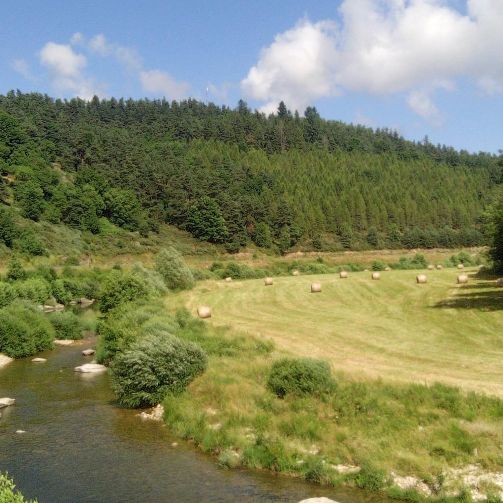
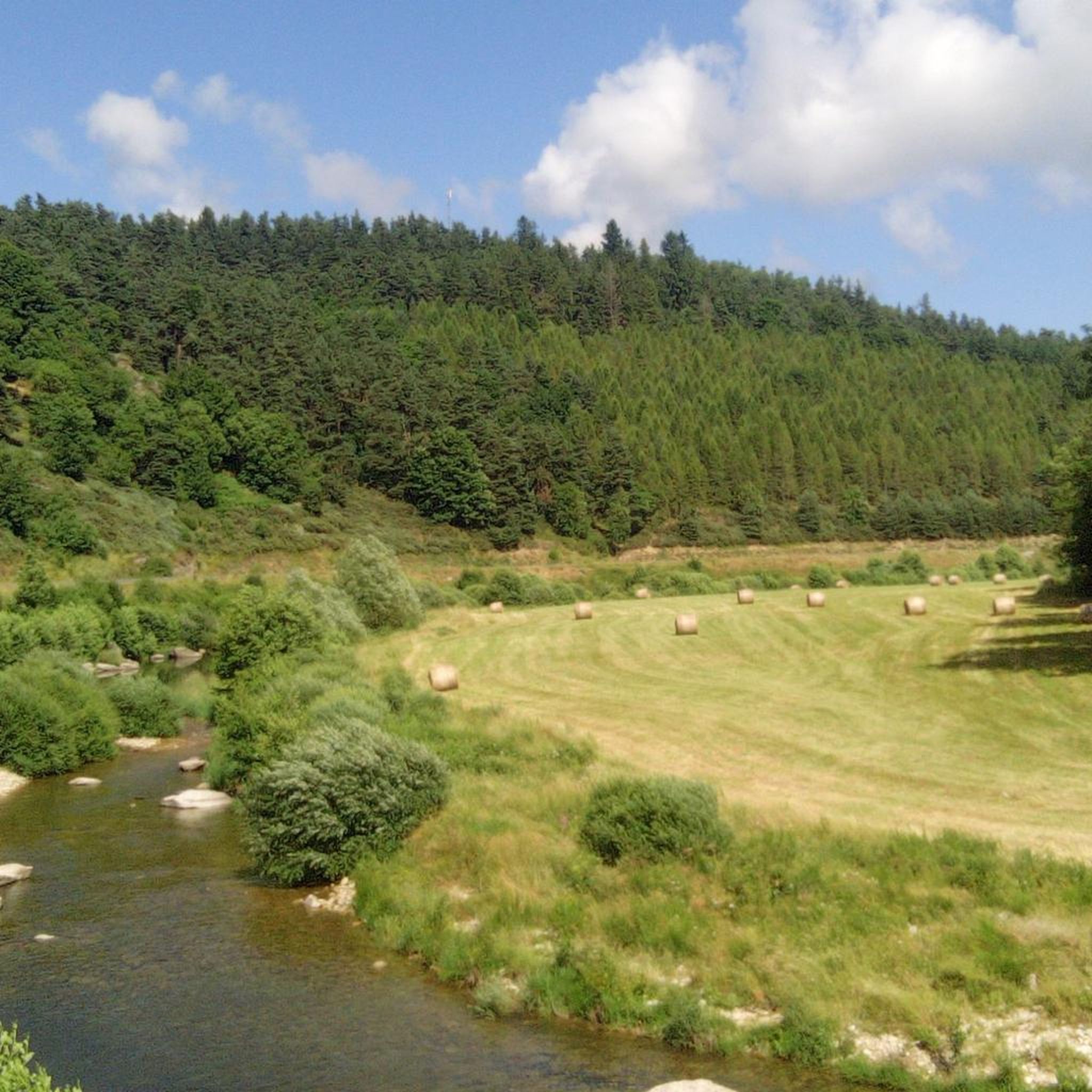
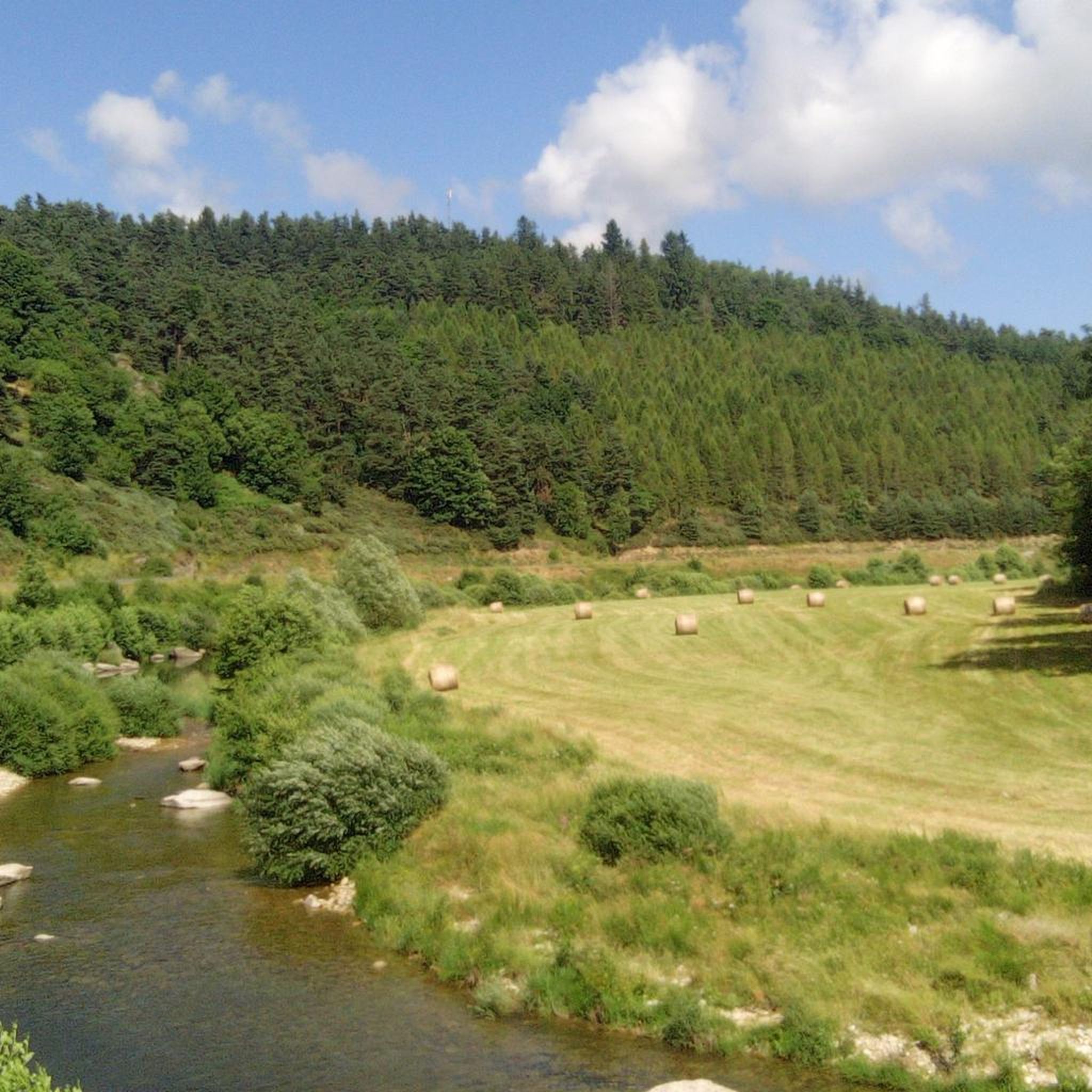
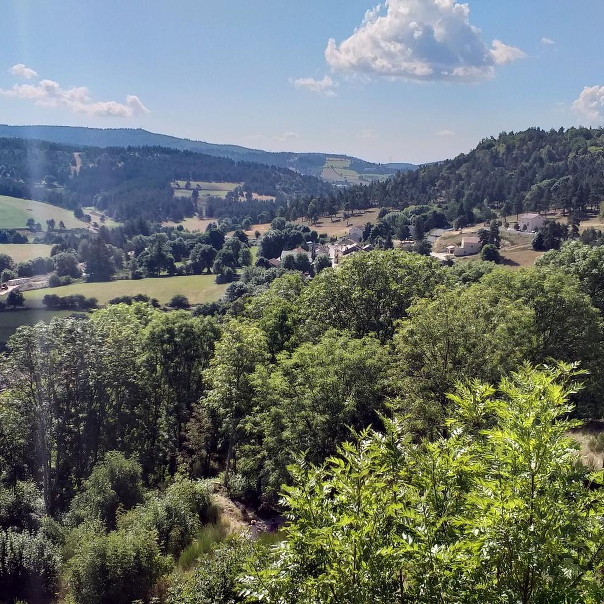
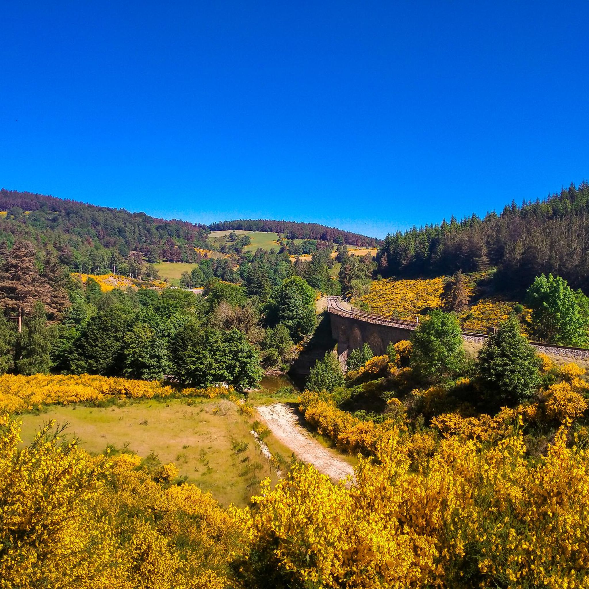
Gravel biking around Cellier-Du-Luc offers routes through mountainous terrain in the Ardèche department of France. The region is characterized by a high altitude of 990 meters, featuring wild and wooded landscapes with a hilly relief where forests and fields alternate. Elevations can reach up to 1200 meters, and the area is bordered by the Allier River to the west and the Espezonnette River to the north. This diverse topography provides varied surfaces and scenic routes suitable for gravel biking.
Best…
Last updated: July 30, 2026
3.6
(5)
27
riders
38.5km
03:11
640m
640m
Hard gravel ride. Very good fitness required. Mostly paved surfaces. Suitable for all skill levels.
4.6
(9)
44
riders
41.5km
02:50
450m
450m
Hard gravel ride. Very good fitness required. Mostly paved surfaces. Suitable for all skill levels.

Sign up for free
5.0
(4)
15
riders
40.4km
03:01
630m
630m
Hard gravel ride. Very good fitness required. Mostly paved surfaces. Suitable for all skill levels.
11
riders
66.5km
05:01
1,070m
1,070m
Hard gravel ride. Very good fitness required. Mostly paved surfaces. Suitable for all skill levels.
4.4
(5)
16
riders
27.4km
02:11
470m
470m
Hard gravel ride. Very good fitness required. Mostly paved surfaces. Suitable for all skill levels.
Get access to more routes and recommendations from other explorers.
Sign up for free
Already have an account?
Our route recommendations are based on thousands of hikes, rides, and runs completed by other people on komoot.
Start today with a free account
Your next adventure awaits.
Login or Signup
Tips from the Community

These ruins once housed the Choisinets castle and orphanage. The construction of this unusual building spanned the entire second millennium. The ruins of two towers dating from the 12th and 17th centuries are still in good condition, testifying to the various architectural influences.
0
0

Market on Tuesdays (summer) and Saturdays
0
0
There we found the Meteil bread seller (a mixture of rye and sourdough) from the previous day's market in Costaros, under the market hall. Producers of fruit and vegetables, cheeses, and charcuterie. Everything for an ideal picnic.
0
0
Rehabilitation work in progress. Please note that the site is not on the route. You must take a 200m detour from the intersection with the statue of Saint Germaine.
0
0


Lovely terrace to enjoy in peace. But in high season it will be a madhouse. So go there in the early or late season!
0
0

Must have been a monastery or something similar. Unfortunately the entrance is blocked 🤷🏻♂️👍🙂
1
0

This charming rural town located in the heart of Margeride offers an ideal setting for cycling. Its cafes and restaurants allow you to stop there in the middle or end of your outing.
1
0
Frequently Asked Questions
How many gravel bike trails are available around Cellier-Du-Luc?
There are over 25 gravel bike routes in the Cellier-Du-Luc area, catering to various skill levels, from moderate to difficult.
What kind of terrain can I expect on gravel bike trails in Cellier-Du-Luc?
The region features wild and wooded terrain with a hilly relief, alternating forests and fields. Elevations can reach up to 1200 meters, offering diverse surfaces and scenic routes. You'll find paths traversing forests like Laveyrune and Mercoire, and along rivers such as the Allier and Espezonnette.
Are there any easy or beginner-friendly gravel bike trails in Cellier-Du-Luc?
While many routes are rated as difficult, there are options for those seeking a moderate challenge. For example, the route View of Lake Naussac – Lake Naussac loop from Langogne offers a good introduction to the area's terrain.
What do other gravel bikers enjoy most about the trails in Cellier-Du-Luc?
The gravel biking routes in Cellier-Du-Luc are highly rated by the komoot community, with an average score of 4.4 stars from over 20 reviews. Riders often praise the varied terrain, challenging climbs, and the extensive exploration opportunities through wild and wooded landscapes.
Are there any notable landmarks or attractions along the gravel bike routes?
Yes, the region is rich in history and natural beauty. You can explore the medieval Luc Castle, which was a historical stop for Robert Louis Stevenson. Other points of interest include the distinctive village church, an old bread oven, and a centenary beech tree. The nearby Langogne also offers attractions like the Besset Gate.
Are there any loop routes for gravel biking in Cellier-Du-Luc?
Yes, many of the gravel bike routes in the area are loops. For instance, you can try the View of Lac de Naussac – Lake Naussac loop from Langogne, which is 44.0 km long, or the longer Lake Naussac – View of Lac de Naussac loop from Langogne, spanning 66.4 km.
What is the best time of year for gravel biking in Cellier-Du-Luc?
Cellier-Du-Luc is situated at an altitude of 990 meters, with elevations reaching up to 1200 meters. This mountainous environment means that spring, summer, and early autumn generally offer the most favorable conditions for gravel biking, with pleasant temperatures and accessible trails. Winters can bring colder weather and potential snow at higher elevations.
Are there any routes that offer views of Lake Naussac?
Yes, several routes provide scenic views of Lake Naussac. A popular option is the Langogne commune – View of Lake Naussac loop from Langogne, which covers 40.4 km and offers expansive vistas of the lake.
Are there any challenging gravel bike routes for experienced riders?
Absolutely. The region is known for its difficult routes with significant elevation gains. The Langogne commune – Pradelles loop from Langogne is a challenging 46.6 km path featuring demanding climbs and wooded landscapes, ideal for experienced gravel bikers.
Is Cellier-Du-Luc suitable for family-friendly gravel cycling?
While many routes are rated as difficult, the diverse terrain means that certain sections or shorter loops might be suitable for families with older children who are comfortable with some elevation. It's best to check individual route details for specific difficulty and length to ensure it matches your family's ability.
Are there options for parking near the gravel bike trails in Cellier-Du-Luc?
Cellier-Du-Luc and nearby towns like Langogne, which serve as starting points for many routes, typically offer public parking facilities. It's advisable to check the specific starting point of your chosen route for the most convenient parking options.
Can I access gravel biking routes in Cellier-Du-Luc using public transport?
While Cellier-Du-Luc is a smaller village, nearby larger towns like Langogne may offer public transport connections. From these points, you can often access the starting points of various gravel biking routes. It's recommended to research local bus or train services to Langogne for the most up-to-date information.
Most popular routes around Cellier-Du-Luc
Most popular attractions around Cellier-Du-Luc

Get inspired with the komoot mobile app


Explore more
Browse the best Gravel rides in other regions.
