The best gravel rides around Tilloy-Floriville
4.0
(2)
19
riders
4
rides
Gravel biking around Tilloy-Floriville offers routes through a varied landscape in the Somme department. The commune itself features gentle undulations, with altitudes ranging from 33 to 127 meters, suitable for gravel cycling. The region includes agricultural lands, river valleys like the Vimeuse, and is in proximity to forests and coastal areas. Unique limestone hills known as "larris" also contribute to the diverse terrain.
Best gravel bike trails around Tilloy-Floriville
- The most popular gravel bike trail is Cycle path along the Canal Somme – Kanal der Somme loop from Valines, a 54.1 miles (87.0 km) trail that takes 6 hours 1 minute to complete. This route follows the scenic Canal Somme, offering waterside views.
- Another top favourite among local gravel bikers is The Somme canalised – Around Long Lock loop from Cerisy-Buleux, a moderate 34.4 miles (55.3 km) path. This route explores the canalised Somme, passing by historical locks and varied terrain.
- Local gravel bikers also love the Wooden Bridge on Forest Trail – V1 Launch Site of Guerville loop from Longroy - Gamaches, a 22.7 miles (36.5 km) trail leading through forest paths and past historical sites, often completed in about 2 hours 51 minutes.
- Gravel biking around Tilloy-Floriville is defined by rolling terrain, river valleys, and extensive forests. The network offers options for different ability levels, from moderate excursions to more challenging routes.
- The routes in Tilloy-Floriville are highly rated by the komoot community with an average score of 4.5 stars from over 4 reviews. More than 20 gravel bikers have used komoot to explore Tilloy-Floriville's varied terrain.
Last updated: May 21, 2026
4.0
(1)
10
riders
85.8km
04:58
480m
480m
Hard gravel ride. Very good fitness required. Mostly paved surfaces. Suitable for all skill levels.
4.0
(1)
4
riders
55.3km
03:06
280m
280m
Moderate gravel ride. Good fitness required. Mostly paved surfaces. Suitable for all skill levels.

Sign up for free
2
riders
Moderate gravel ride. Good fitness required. Mostly paved surfaces. Suitable for all skill levels.
2
riders
Moderate gravel ride. Good fitness required. Mostly paved surfaces. Suitable for all skill levels.
1
riders
63.5km
03:59
540m
540m
Hard gravel ride. Very good fitness required. Mostly paved surfaces. Suitable for all skill levels.
Our route recommendations are based on thousands of hikes, rides, and runs completed by other people on komoot.
Start today with a free account
Your next adventure awaits.
Login or Signup
Tips from the Community

Hourdel Lighthouse is a lighthouse on the common Cayeux-sur-Mer, it is built on the south side of the Bay of Somme, at the end of the point of Hourdel.
4
0

Steam train from St Valéry, allows you to return to Noyelles station to take a TER
0
0

take a right and a nice little detour
0
0
There are other routes nearby.
0
0

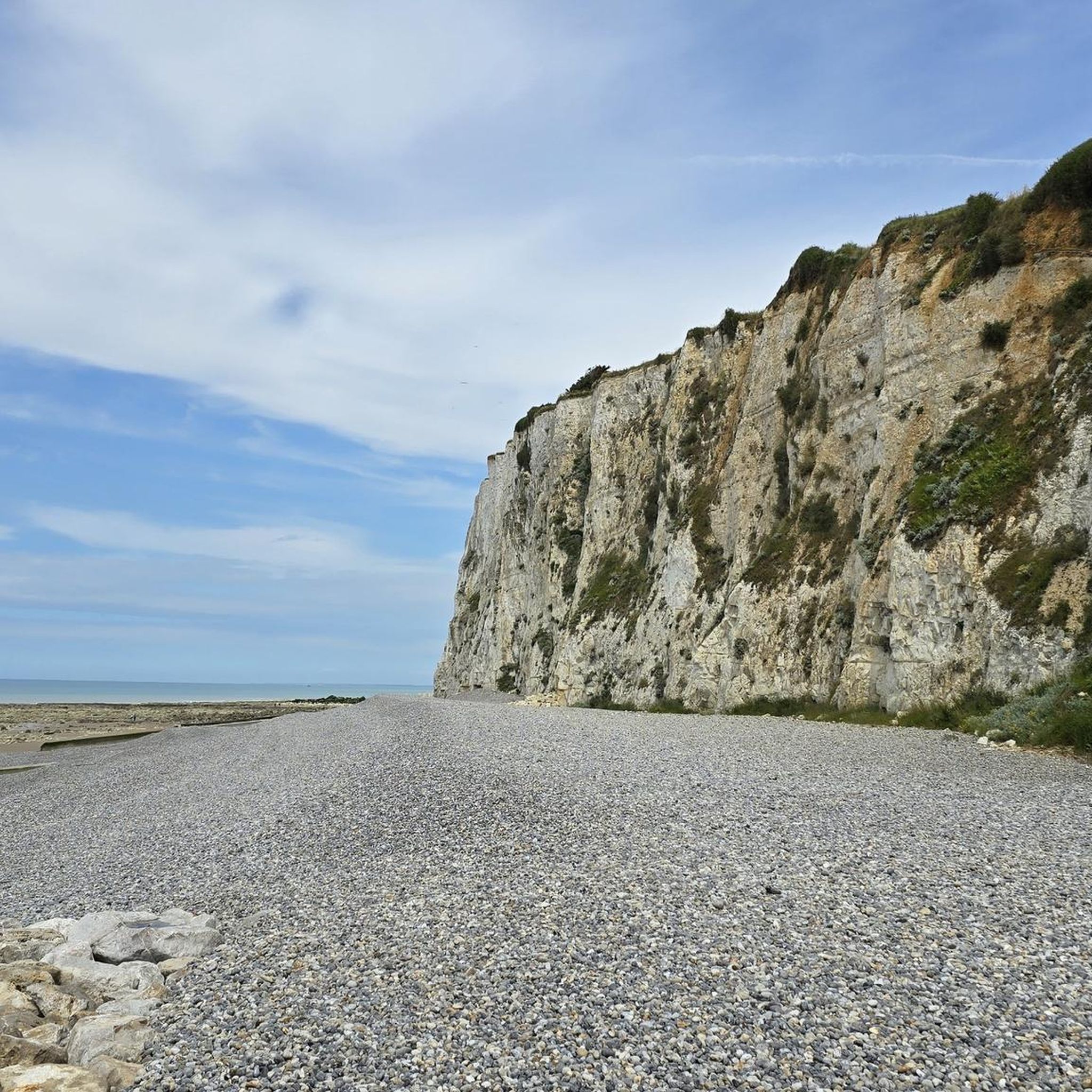
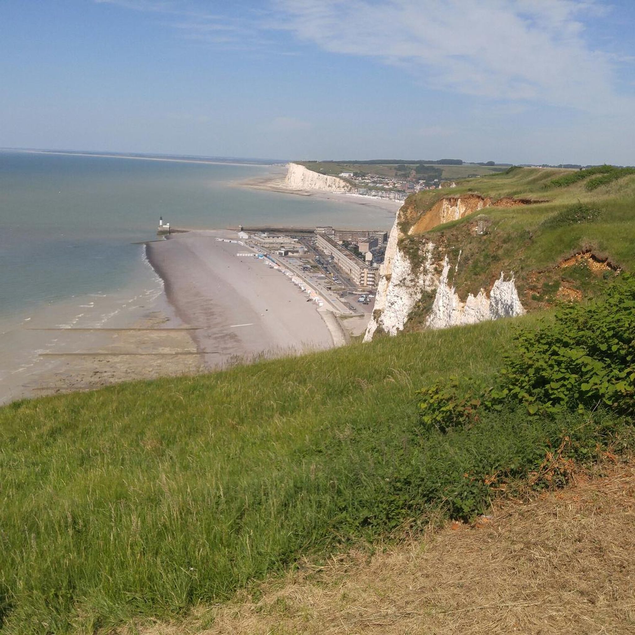
The cliffs are made of chalk and are impressive to look at.
3
0

Beautiful view over the Somme.
1
0

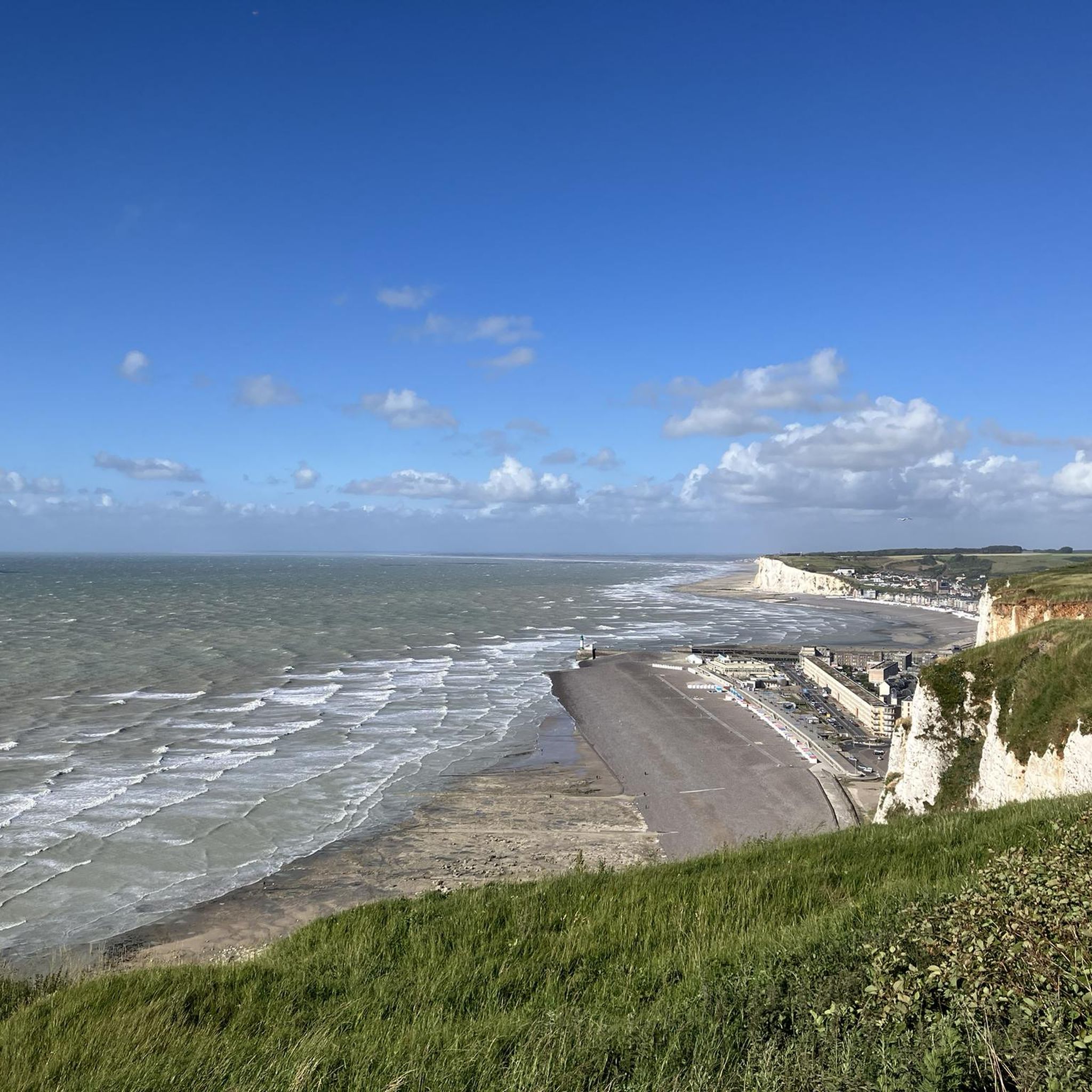
The cliffs around the beach of Ault are composed of chalk from the Upper Cretaceous, more precisely from the Turonian and Coniacian (around 83 million years ago to 90 million years ago). They are strewn with flint nodules which highlight the subhorizontal stratification planes (the formation of flint has already been discussed in Discovery of the geology of the cliffs of Étretat, presentation of an excursion from the beach of Tilleul (Antifer) to the Porte d'Amont (Étretat Nord)). The relative proportion of chalk and flint is around 90-95% chalk to 5-10% flint. Flint horizons are stratigraphic markers. On the cliffs of Ault, the regular flint band called Seven Sisters is recognizable and characterizes the boundary between the Middle Coniacian and the Upper Coniacian (around 87 million years ago). The boundary between the lower and middle Coniacian is marked by the Shoreham 2 marl level, which is more difficult to identify. These lithostratigraphic markings allow in particular the correlation of distant deposits, such as between the Normandy and Picardy coasts, or between the French and English coasts.
2
0
Frequently Asked Questions
What kind of terrain can I expect on gravel bike trails around Tilloy-Floriville?
The region around Tilloy-Floriville offers a varied landscape ideal for gravel biking. You'll find gentle undulations with altitudes ranging from 33 to 127 meters, agricultural lands, and river valleys like the Vimeuse. The broader Somme department also features unique limestone hills known as "larris," extensive forests like Forêt d'Eu, and marshes such as Marais de Gousseauville, providing diverse surfaces from quiet country roads to unpaved tracks.
Are there any easy or family-friendly gravel bike routes near Tilloy-Floriville?
While specific 'easy' routes are not explicitly listed, the Somme department is known for its 'green ways' (Voies Vertes) along disused railway lines, which are traffic-free and suitable for various levels, including families. These paths often offer less technical rides. The region's generally gentle topography also makes many routes accessible for those seeking a less strenuous experience.
What are the best months for gravel biking in the Tilloy-Floriville area?
The region around Tilloy-Floriville, like much of northern France, generally offers pleasant conditions for gravel biking from spring through early autumn (April to October). During these months, you can expect milder temperatures and less precipitation, making for more enjoyable rides through the varied landscapes of the Somme department.
Are there any circular gravel bike routes available?
Yes, several routes in the area are designed as loops. For example, you can explore the The Somme canalised – Around Long Lock loop from Cerisy-Buleux, which is a moderate 55.3 km path, or the Wooden Bridge on Forest Trail – V1 Launch Site of Guerville loop from Longroy - Gamaches, a 36.5 km trail through forest paths and historical sites.
What interesting landmarks or attractions can I see along gravel bike routes?
The area offers several historical and natural points of interest. You might pass by the V1 Launch Site of Guerville, explore the diverse flora and fauna of Marais de Gousseauville, or even visit the historical Rambures Castle with its remarkable gardens. These attractions can add a cultural or natural highlight to your ride.
How long are the gravel bike trails around Tilloy-Floriville?
The gravel bike trails in the area vary significantly in length. You can find routes ranging from moderate excursions like the Wooden Bridge on Forest Trail – V1 Launch Site of Guerville loop from Longroy - Gamaches at 36.5 km, to longer, more challenging rides such as the Cycle path along the Canal Somme – Kanal der Somme loop from Longroy - Gamaches, which spans over 150 km.
Are there any cafes or places to stop for refreshments near the gravel bike trails?
While Tilloy-Floriville itself is a small commune, nearby towns like Gamaches (approximately 4 km away) are known to have outdoor bases and amenities. The coastal towns such as Ault, Mers-les-Bains, and Le Tréport, which can be reached on longer rides, also offer picturesque destinations with cafes and restaurants.
What do other gravel bikers enjoy most about the routes in Tilloy-Floriville?
The gravel biking routes around Tilloy-Floriville are highly rated by the komoot community, with an average score of 4.5 stars from over 4 reviews. Cyclists often praise the varied terrain, which includes rolling landscapes, river valleys, and extensive forests, providing a diverse and engaging outdoor experience.
Can I access the gravel bike trails using public transport?
Specific public transport options directly to trailheads in Tilloy-Floriville for cyclists are limited. However, the Somme department has a general focus on cycling, and larger towns in the region may offer better public transport connections. It's advisable to check local bus or train services for routes that accommodate bicycles to nearby starting points.
Are there any specific permits required for cycling in nature reserves in the Somme region?
While general cycling on public roads and designated greenways typically doesn't require permits, certain protected natural areas or private lands within the Somme department, such as the Baie de Somme or specific marshlands, might have regulations regarding access or require permits for certain activities. It's always best to check with local tourism offices or park authorities if you plan to cycle through a specific nature reserve.
What are the options for parking near gravel bike trailheads in Tilloy-Floriville?
As Tilloy-Floriville is a small commune, parking options are generally available in the village center or near local amenities. For routes starting from nearby towns like Longroy - Gamaches or Cerisy-Buleux, you will typically find public parking facilities suitable for leaving your vehicle while you embark on your ride.
Most popular routes around Tilloy-Floriville
Most popular attractions around Tilloy-Floriville

Get inspired with the komoot mobile app


Explore more
Browse the best Gravel rides in other regions.
