The best gravel rides around Puginier
4.3
(72)
362
riders
8
rides
Gravel biking around Puginier offers varied terrain across the Lauragais region, characterized by gently undulating "thousand hills" and diverse agricultural landscapes. The area features numerous gravel routes that traverse both paved and unpaved surfaces, including ancient canal towpaths and forest trails. The Canal du Midi, a UNESCO World Heritage site, provides largely flat routes with a mix of asphalt and natural trails, while the Rigole de la Plaine offers additional scenic paths. This region provides a blend of natural beauty…
Last updated: October 6, 2026
4.4
(18)
112
riders
155km
08:43
440m
440m
Hard gravel ride. Very good fitness required. Mostly paved surfaces. Suitable for all skill levels.
4.1
(8)
53
riders
146km
08:16
510m
510m
Hard gravel ride. Very good fitness required. Mostly paved surfaces. Suitable for all skill levels.

4.2
(6)
32
riders
71.2km
04:27
370m
370m
Moderate gravel ride. Good fitness required. Mostly paved surfaces. Suitable for all skill levels.
5.0
(1)
26
riders
30.8km
01:33
110m
110m
Easy gravel ride. Great for any fitness level. Mostly paved surfaces. Suitable for all skill levels.
3.5
(10)
16
riders
34.5km
02:11
80m
80m
Moderate gravel ride. Good fitness required. Mostly paved surfaces. Suitable for all skill levels.
Get access to more routes and recommendations from other explorers.
Already have an account?
Our route recommendations are based on thousands of hikes, rides, and runs completed by other people on komoot.
Start today with a free account
Your next adventure awaits.

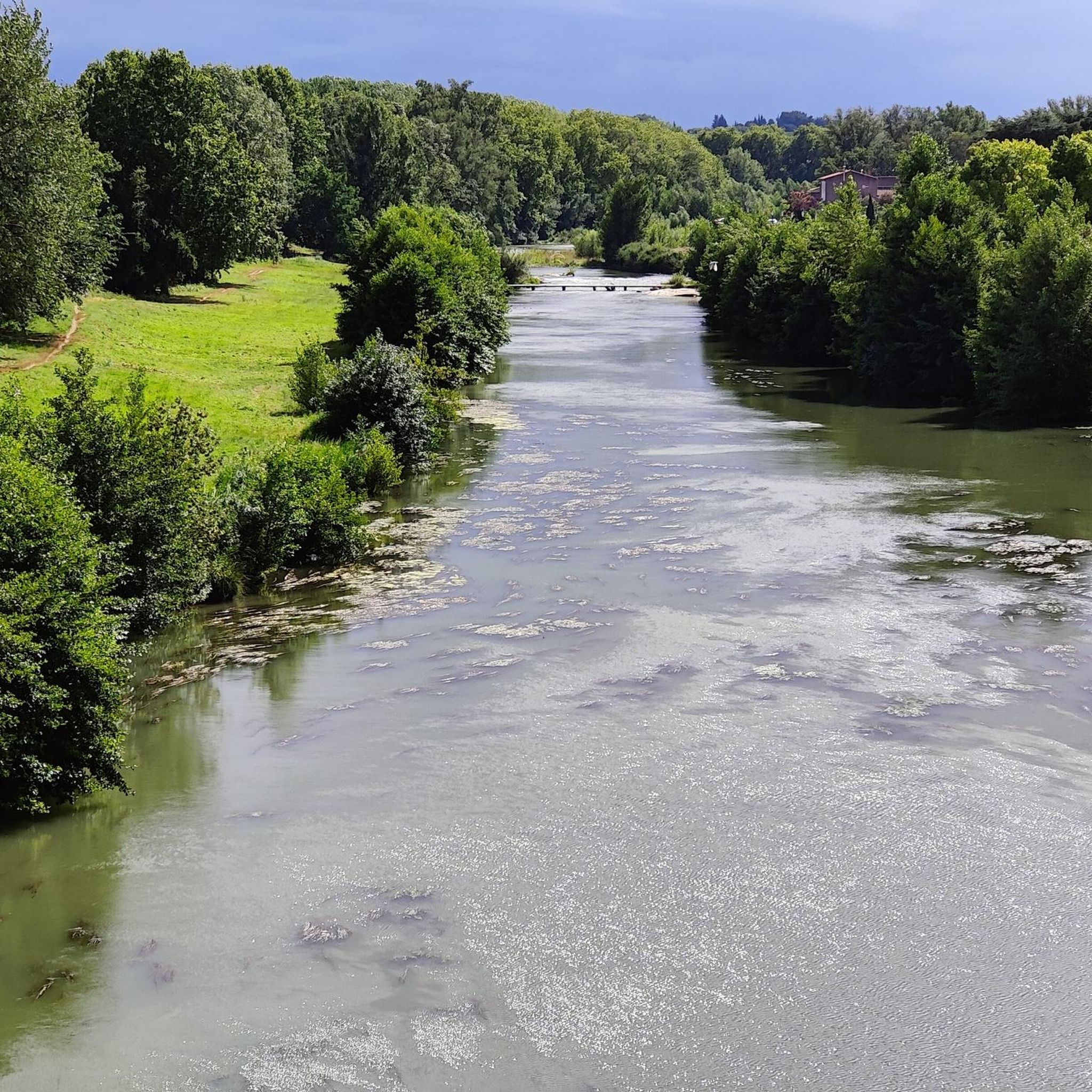
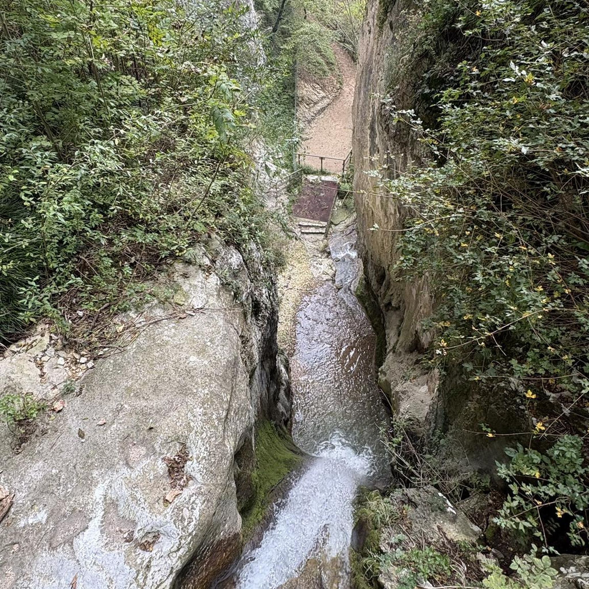

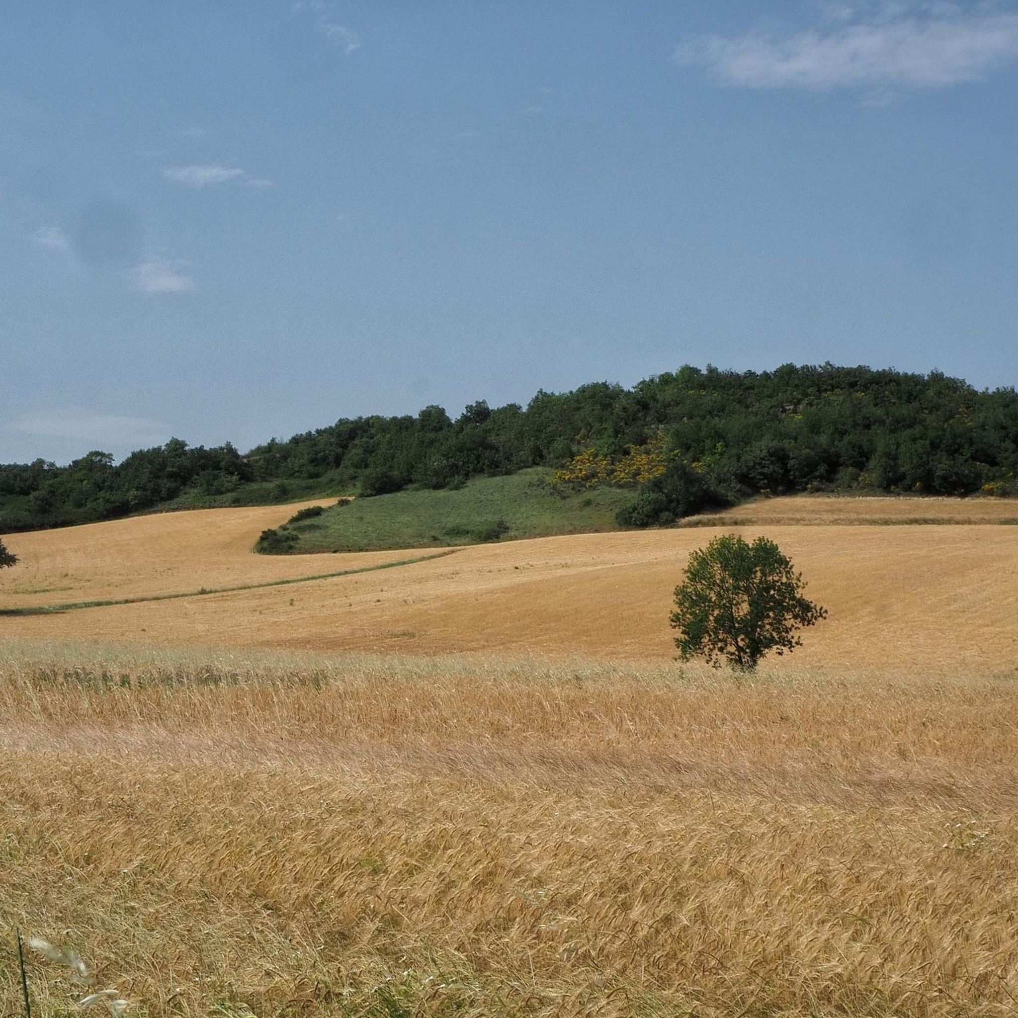
Tips from the Community

Double lock located on the Canal du Midi. The lock keeper's house dates from the mid-18th century, the interior consisted of a living room and a stable. The name of this lock comes from Occitan and means "the oak tree".
0
0
The Canal du Midi, formerly Canal Royal, is a 17th-century technical feat designed by Pierre-Paul Riquet to connect the Atlantic to the Mediterranean. Today, it is above all a place for relaxation and discovery, where heritage, nature, and conviviality blend together.
0
0
It is sometimes called the Naurouze lock because it is the closest lock to the Naurouze threshold. The Ocean lock marks the beginning of the ascending section of the canal when going from west to east.
0
0
Le Seuil de Naurouze is a strategic location in the operation and water supply of the Canal du Midi. The highest point on the canal's route, it is the birthplace as a watershed. Framed by the Ocean lock and the Mediterranean lock, it is from this site that the waters carried by the Rigole de la Plaine are distributed from one slope to the other.
0
0
The Seuil de Naurouze is a strategic location in the operation and water supply of the Canal du Midi. The highest point on the canal's route, it is the birthplace as a watershed. Flanked by the Ocean lock and the Mediterranean lock, it is from this site that the waters carried by the Rigole de la Plaine are distributed from one slope to the other.
0
0
The Mediterranean lock is a historic structure on the Canal du Midi built around 1670. Located in Mas-Saintes-Puelles (Aude), it marks the beginning of the downward slope towards the Mediterranean Sea. It was formerly called the Doctor's lock or Medici lock.
0
0
L'écluse du Roc is a double lock on the Canal du Midi located in the commune of Mas-Saintes-Puelles. Built around 1670, it is located 57.5 km from Toulouse.
0
0
The Canal du Midi, as originally planned in 1666, was not supposed to pass through Castelnaudary. However, in 1671, the consuls of the town of Castelnaudary obtained a modification of the canal's route from King Louis XIV. Thus, the canal passes by the town gates, under the city walls.
0
0
Frequently Asked Questions
How many gravel bike trails are there around Puginier, and what are their difficulty levels?
There are over a dozen gravel bike trails around Puginier, offering a range of experiences. You'll find 2 easy routes, 6 moderate routes, and 4 difficult routes, ensuring options for various skill levels. The terrain varies from largely flat canal paths to more undulating sections through the Lauragais region.
Are there any family-friendly gravel bike routes near Puginier?
Yes, the paths along the Canal du Midi are generally family-friendly due to their largely flat nature and mix of asphalt and natural trails. These routes offer a scenic and accessible way to explore the region with children.
What kind of natural features can I expect to see along the gravel bike trails in Puginier?
The region is rich in natural beauty. You'll encounter the tree-lined banks of the Canal du Midi, the essential Rigole de la Plaine, and the gently undulating 'thousand hills' of the Lauragais countryside. The landscape features diverse agricultural scenery, vineyards, and garrigue, providing picturesque views throughout your ride.
Are there any circular gravel bike routes available around Puginier?
Yes, many routes in the area are circular. For example, the Écluse de l'Océan loop from Castelnaudary is a moderate 21.5-mile (34.5 km) circular trail that explores the Canal du Midi area, often completed in about 2 hours 12 minutes.
What are some notable landmarks or points of interest I can visit while gravel biking in Puginier?
The region offers several historical and scenic points of interest. You can visit the Grand Bassin in Castelnaudary, the historic Écluse de l'Océan, or the Vivier Lock along the Canal du Midi. The Canal du Midi itself is a UNESCO World Heritage site with impressive engineering.
What do other gravel bikers enjoy most about gravel biking in Puginier?
The area is highly rated by the komoot community, with an average score of 4.2 stars from over 35 reviews. Reviewers often praise the varied terrain, the historical significance of the Canal du Midi, and the blend of natural beauty with charming villages. The mix of paved and unpaved surfaces also receives positive feedback for offering diverse riding experiences.
Are there any long-distance gravel routes for experienced riders?
Absolutely. For experienced riders seeking a challenge, the Canal du Midi – Canal du midi loop from Castelnaudary is a demanding 95.2-mile (153.3 km) trail that follows the historic towpaths, taking around 11 hours to complete. Another option is the Canal du midi – View of La Cité de Carcassonne loop from Les Cassés, a 145.7 km route with significant elevation.
What is the best time of year for gravel biking around Puginier?
The Lauragais region generally offers pleasant conditions for gravel biking from spring through autumn. The mild climate allows for comfortable riding, though summer can be warm. Spring and early autumn provide particularly beautiful scenery with comfortable temperatures.
Are there any routes that offer panoramic views?
Yes, the Seuil de Naurouze, as the highest point of the Canal du Midi, offers expansive panoramic views of the surrounding landscapes. Routes that pass through this area, such as the Ô Gravel Special Ride Seuil de Naurouze mentioned in regional research, will provide excellent vistas.
Where can I find parking for gravel bike trails in Puginier?
Many of the routes originate from towns like Castelnaudary or Peyrens, where public parking is typically available. For example, the Roc Lock – La rigole de la Plaine loop from Peyrens starts from Peyrens, which would have parking options for visitors.
Can I access gravel biking routes in Puginier using public transport?
While Puginier itself is a small village, larger nearby towns like Castelnaudary, which serve as starting points for many routes, are generally accessible by public transport, such as regional trains or buses. From these towns, you can often connect directly to the Canal du Midi towpaths or other trailheads.
Are there any routes that explore the Rigole de la Plaine?
Yes, the Rigole de la Plaine is a significant feature in the area. The Roc Lock – La rigole de la Plaine loop from Peyrens is a difficult 48.1-mile (77.5 km) path that specifically explores this essential hydraulic structure, winding through agricultural lands and natural sections.
Most popular attractions around Puginier

Get inspired with the komoot mobile app


Explore more
Browse the best Gravel rides in other regions.
