The best gravel rides around Lournand
4.2
(11)
124
riders
14
rides
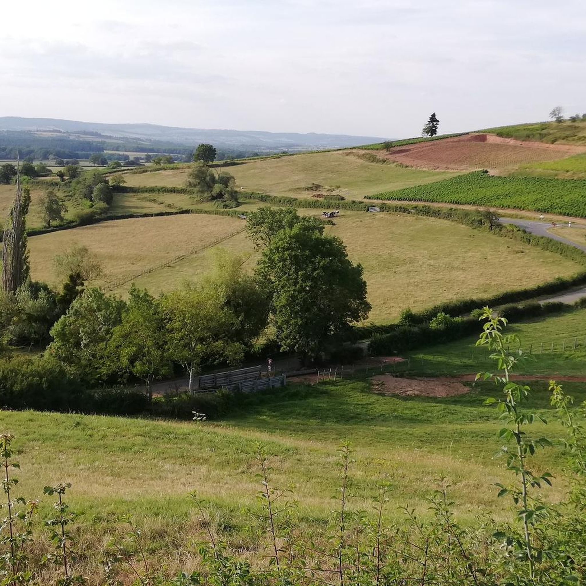
Gravel biking around Lournand offers diverse terrain across the Southern Burgundy region. The area is characterized by rolling hills, extensive woodlands, and historic sites, providing varied surfaces for gravel cyclists. Routes often follow former railway lines or quiet country roads, connecting villages and natural landscapes.
Best gravel bike trails around Lournand
- The most popular gravel bike trail is Cluny – Cluny Abbey loop from Cluny, a 9.9 miles (15.9 km) trail that takes 1 hour 21 minutes to complete.…
Last updated: November 3, 2026
3.3
(3)
75
riders
97.7km
07:57
2,030m
2,030m
Hard gravel ride. Very good fitness required. Mostly paved surfaces.
12
riders
70.3km
06:05
1,490m
1,490m
Hard gravel ride. Very good fitness required. Mostly paved surfaces.

5.0
(1)
8
riders
49.8km
03:57
890m
890m
Hard gravel ride. Very good fitness required. You may need to push your bike for some segments of this route.
4.5
(2)
5
riders
38.9km
03:10
810m
810m
Hard gravel ride. Very good fitness required. Mostly paved surfaces.
3
riders
15.9km
01:21
360m
360m
Moderate gravel ride. Good fitness required. Mostly paved surfaces.
Get access to more routes and recommendations from other explorers.
Already have an account?
Our route recommendations are based on thousands of hikes, rides, and runs completed by other people on komoot.
Start today with a free account
Your next adventure awaits.
Tips from the Community

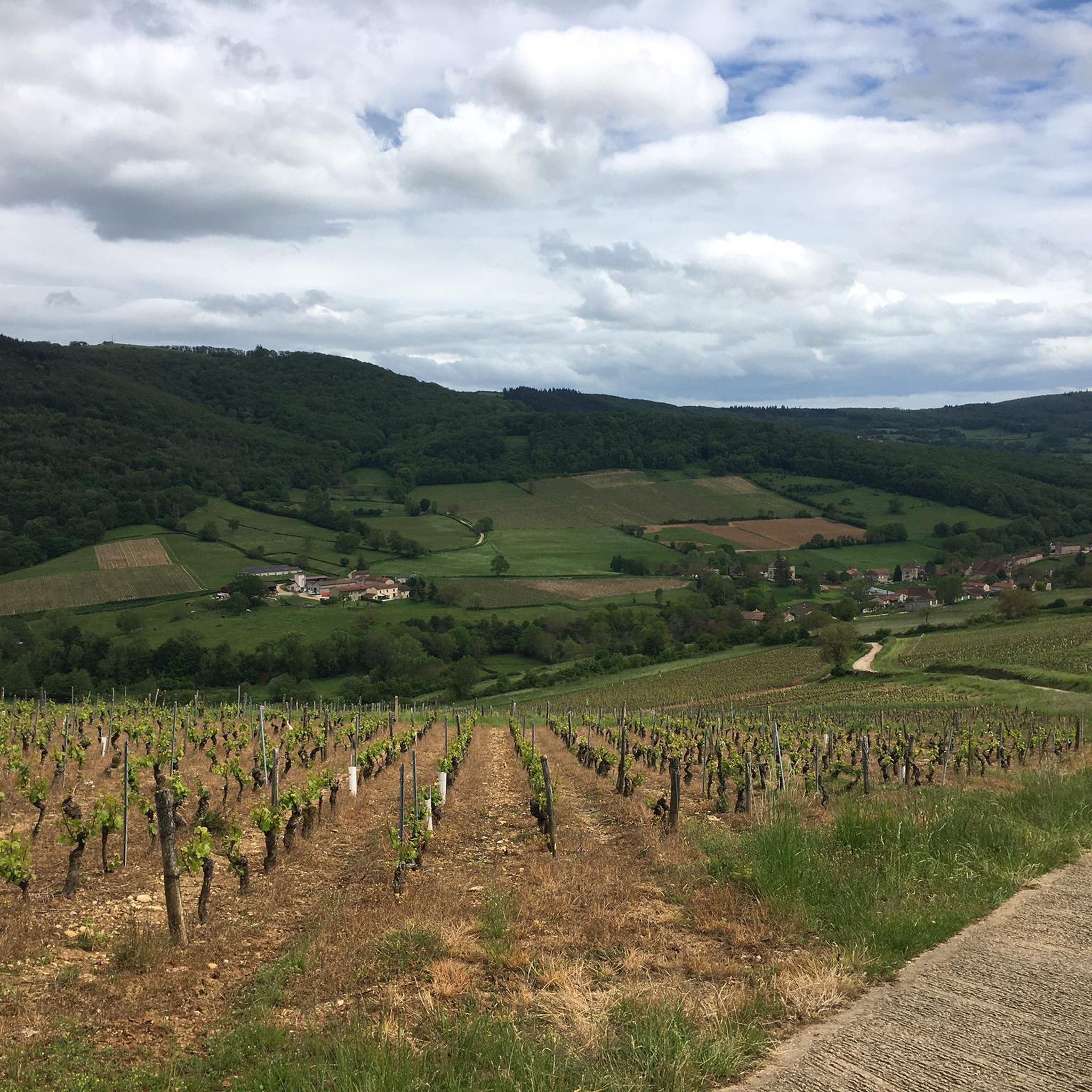
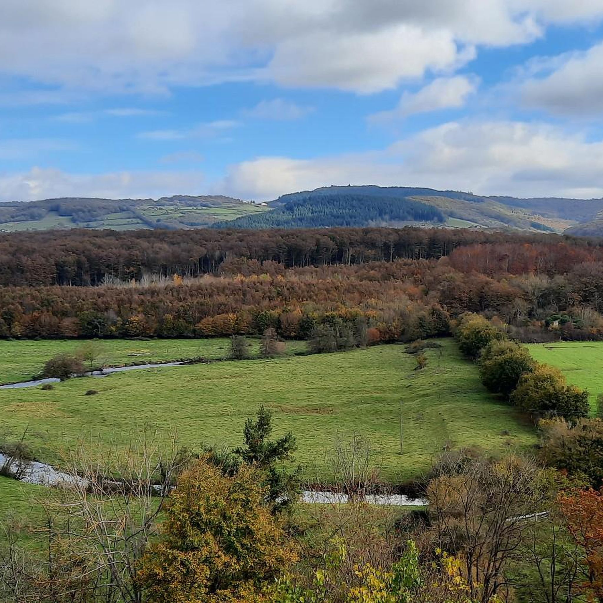
The Col de Beaufer is located in the Monts du Mâconnais, west of Tournus in the Saône-et-Loire department. With a height of only 303 meters, it is more of a gentle transition between the hills of the Tournugeois than a distinct mountain pass. The surrounding area is characterized by forests, meadows, and the typical wine landscapes of southern Burgundy. The pass is the starting point for several hiking and mountain biking trails, which lead through Plottes and the surrounding hills, among other places. The area "Le Cra et Col de Beaufer" is also designated as an ecologically valuable nature zone and covers around 982 hectares.
0
0

Don't forget to make a short stop at the "la vicyclette" workshop
0
0

The historic washhouse of Collonges (often also referred to as Lavoir de Cruzille), located in the French municipality of Cruzille in the Saône-et-Loire department in the Burgundy region. Such covered public wash places (French: Lavoir) were built in the 18th and 19th centuries in many French villages to make it easier for women to wash clothes. The building in the selected area has an open front with striking stone columns and a forelying fountain basin with a decorative pillar in the middle.
1
0
Historic washhouses (Lavoir) of this type are typical of French communities in the 18th and 19th centuries. They served the villagers as a public place for washing clothes and were often important social meeting points.
2
0
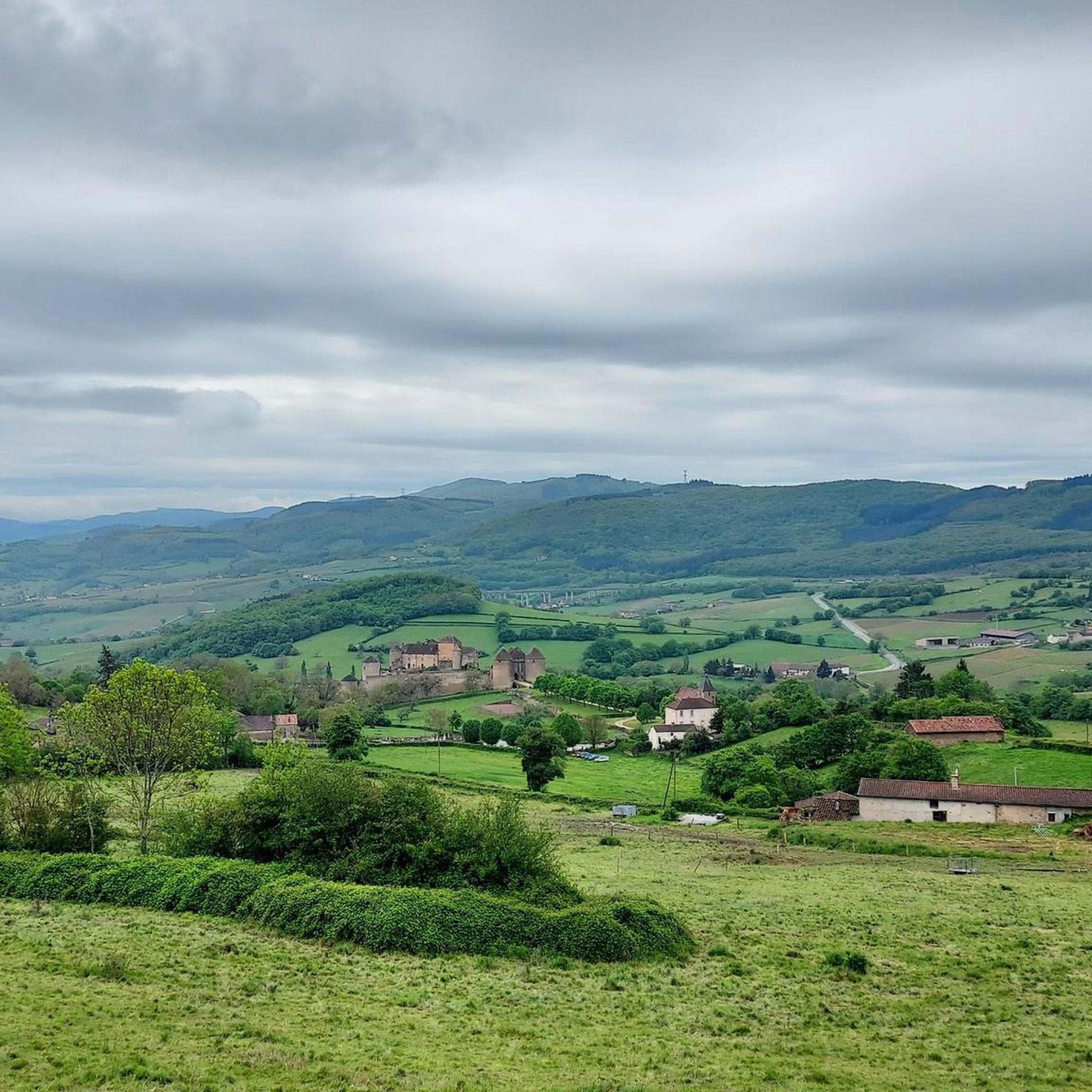
One of the many beautiful Romanesque churches, also in a magnificent viewing position.
2
0
The Église Saint-Jean-Baptiste de Burgy (Church of St. John the Baptist), a small, charming village church, is a typical Romanesque building from the 11th to 12th century. It is known for its stocky, solid construction. It has a massive square bell tower and a roof covered with traditional limestone slabs (laves). Inside, the church has a single nave. Due to its historical significance, it was officially protected as a French historical monument (Monument Historique) in 1979.
2
0
Historic stone bridge over the tranquil little river.
1
0
Frequently Asked Questions
How many gravel bike trails are available around Lournand?
There are over a dozen gravel bike routes in the Lournand area, offering diverse terrain across Southern Burgundy. These routes range from moderate loops to challenging long-distance rides.
Are there easy gravel bike routes suitable for beginners in Lournand?
Yes, while many routes are challenging, there are options for less experienced riders. The Cluny – Cluny Abbey loop from Cluny is a moderate 9.9-mile (15.9 km) trail that explores historic surroundings and is a good starting point for those new to gravel biking in the region.
What are some challenging gravel bike routes for experienced riders?
For experienced riders seeking a challenge, the Cluny – Voie verte of Southern Burgundy loop from Mâcon is a demanding 61.6-mile (99.1 km) trail with significant elevation gain. Another difficult option is the Bois Clair tunnel – Château de Berzé loop from Azé, covering 47.1 miles (75.8 km) with varied terrain.
Can I find circular gravel bike routes in the Lournand area?
Yes, many of the gravel bike routes around Lournand are designed as loops, allowing you to start and finish in the same location. For example, the Mount Saint-Romain – Donzy loop from Saint-Gengoux-de-Scissé offers a scenic circular ride.
What kind of terrain can I expect on gravel bike trails near Lournand?
The terrain around Lournand is characterized by rolling hills, dense woodlands, and historic pathways. You'll encounter a mix of quiet country roads, former railway lines (Voie Verte sections), and gravel tracks, providing varied surfaces for gravel cycling.
Are there any notable landmarks or attractions along the gravel bike routes?
Yes, the region is rich in history and natural beauty. You might pass by the impressive Cormatin Castle, the historic town of Cluny with its famous abbey, or even through the unique Tunnel du bois clair.
What do other gravel bikers enjoy most about cycling in Lournand?
The area is highly rated by the komoot community, with an average score of 3.0 stars. Reviewers often praise the diverse landscapes, the blend of historic sites with natural beauty, and the variety of routes suitable for different skill levels.
Is Lournand suitable for family-friendly gravel biking?
While many routes feature significant elevation, some sections of the Voie Verte (greenways) offer flatter, more accessible terrain that can be suitable for families. Look for shorter, less challenging loops to ensure a pleasant experience for all.
Where can I find parking for gravel bike trails near Lournand?
Many routes start from villages like Cluny, Azé, or Mâcon, where public parking is generally available. It's advisable to check the specific starting point of your chosen route for the most convenient parking options.
Are there cafes or places to stop for refreshments along the routes?
The routes often connect various villages and towns in Southern Burgundy. You'll find opportunities to stop for refreshments in places like Cluny, Azé, and other settlements along the way. Planning your route with these stops in mind is recommended.
What is the best time of year for gravel biking in Lournand?
Spring and autumn generally offer the most pleasant conditions for gravel biking in Lournand, with mild temperatures and beautiful scenery. Summer can be warm, while winter rides are possible but may require more preparation for colder, potentially wetter weather.
Most popular attractions around Lournand

Get inspired with the komoot mobile app


Explore more
Browse the best Gravel rides in other regions.
