The best gravel rides around Niederlauterbach
4.2
(10)
72
riders
22
rides
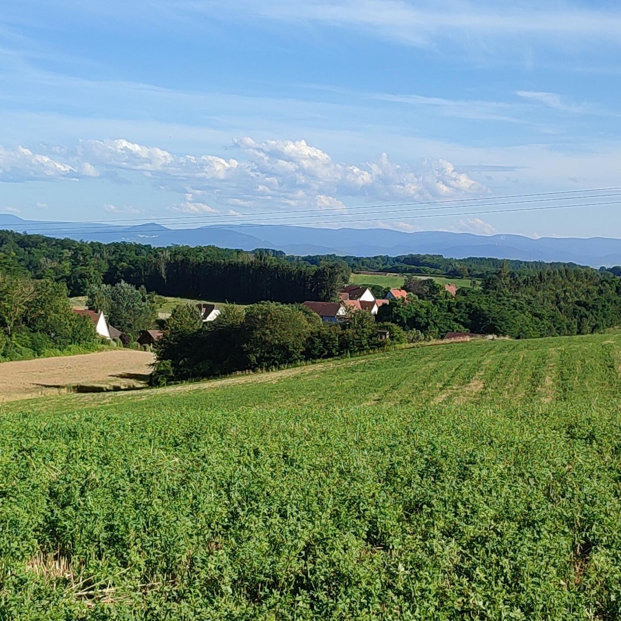
Gravel bike trails Niederlauterbach traverse a diverse landscape in the Bas-Rhin department of France, near the German border. The region features extensive woodlands, including 267 hectares of communal forest, alongside open plains and serene lakes. Elevations range from 128 meters to 191 meters, offering varied terrain with gentle hills. The hydrographic network, including the Lauter, Landbach, and Grossgraben streams, provides picturesque waterside routes, while the nearby Sauer Delta features Rhineland forests and floodplains.
Best gravel bike trails around Niederlauterbach
- The…
Last updated: May 12, 2026
4.7
(7)
23
riders
47.8km
02:33
150m
150m
Moderate gravel ride. Good fitness required. Mostly paved surfaces. Suitable for all skill levels.
3
riders
43.8km
02:54
110m
110m
Hard gravel ride. Good fitness required. You may need to push your bike for some segments of this route.

Sign up for free
4
riders
20.3km
01:09
70m
70m
Easy gravel ride. Great for any fitness level. Mostly paved surfaces. Suitable for all skill levels.
5.0
(1)
7
riders
64.0km
03:23
320m
320m
Moderate gravel ride. Good fitness required. Mostly paved surfaces. Suitable for all skill levels.
2
riders
Hard gravel ride. Great for any fitness level. You may need to push your bike for some segments of this route.
Get access to more routes and recommendations from other explorers.
Sign up for free
Already have an account?
Our route recommendations are based on thousands of hikes, rides, and runs completed by other people on komoot.
Start today with a free account
Your next adventure awaits.
Login or Signup
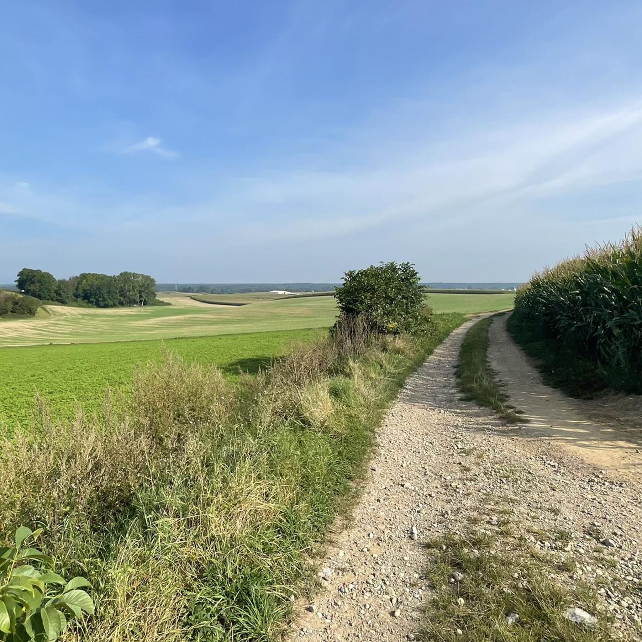
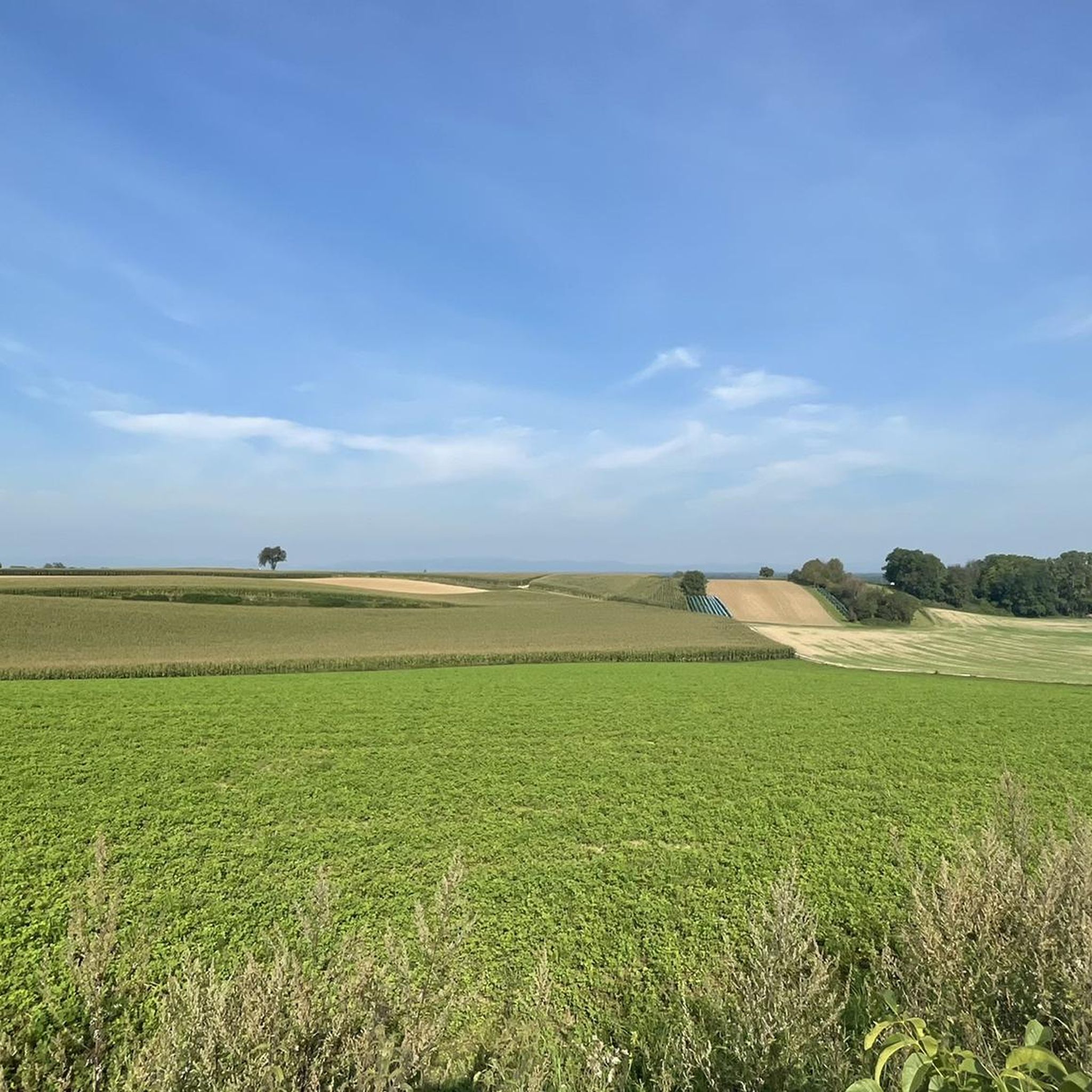
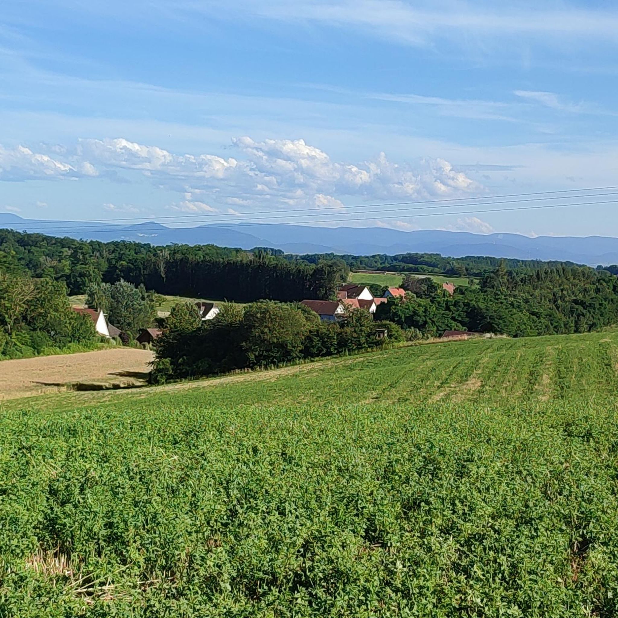
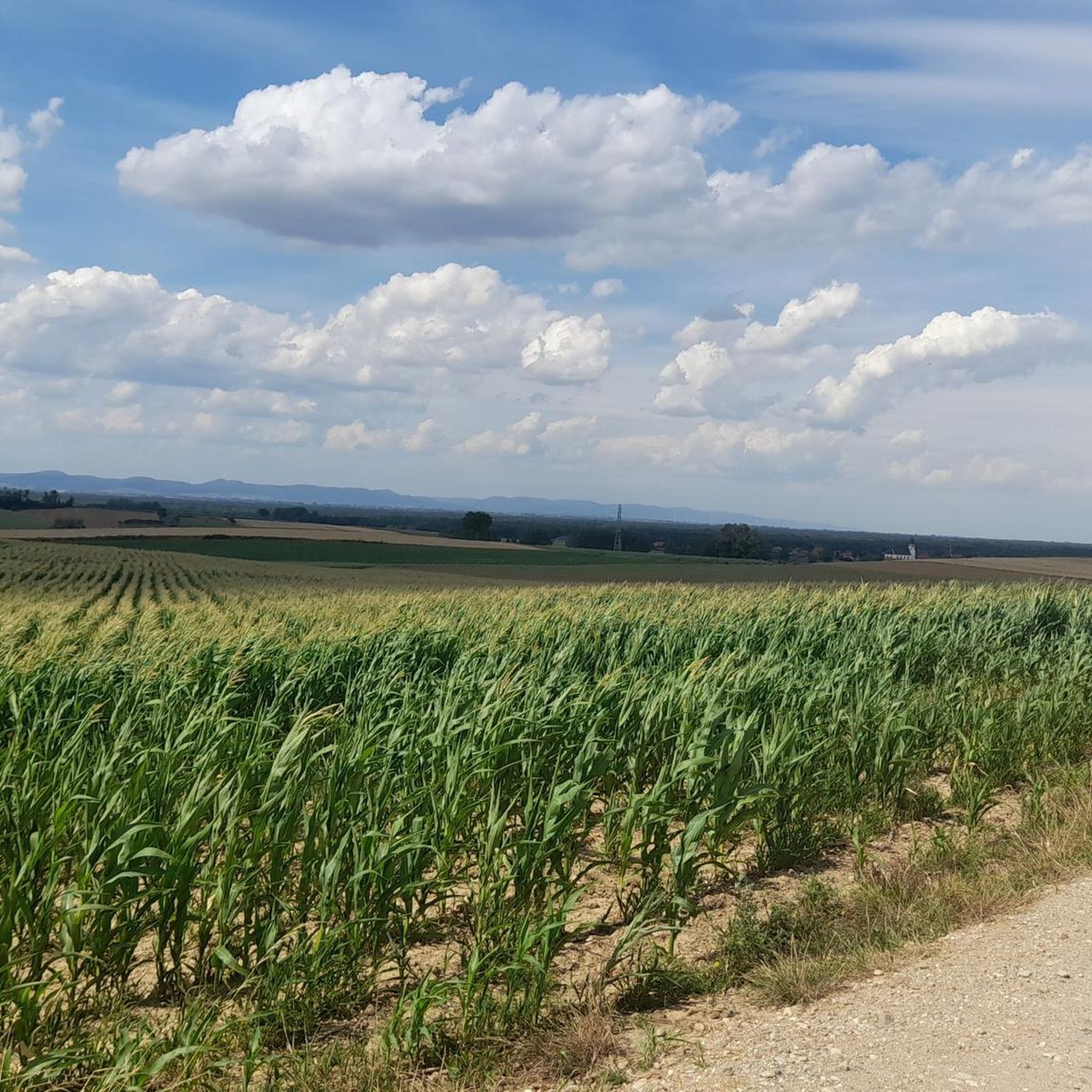
Tips from the Community

The Westwall was a military defense system over 600 km long in World War II. It consisted of several thousand bunkers, tunnels, trenches, minefields, and anti-tank barriers and stretched along the western border of the then German Reich from the Netherlands to Basel. The Westwall was built between 1936 and 1940 in three defensive lines, likely for propaganda reasons. Its French counterpart, the Maginot Line, was built earlier, between 1930 and 1936. In the Palatinate, a 10 km long anti-tank barrier ran from the Palatinate Forest near Oberotterbach, through the Wissembourg Gap to the Bienwald near Steinfeld. The second defensive line led from Göcklingen via Mörzheim, Impflingen, Insheim, in the direction of Herxheim. The anti-tank barrier was built in the form of dragon's teeth lines. Reinforced concrete teeth, placed in several rows and connected by a foundation, were intended to prevent enemy tanks from entering. Today, most of the Westwall has been dismantled, bunkers have been blown up. Relics of the dragon's teeth lines in the Palatinate can still be found near Steinfeld and Niederotterbach, as well as parts of the rear defensive line in Göcklingen and Mörzheim.
2
0

It's worth taking a look at the Lauter from the many bridges. The perspectives are always different.
7
0

To drive normally
0
0


France is in the other direction 🙈
0
0

With the beginning of the German Wine Route and the Wine Gate, the wine country opens up in all directions🥰🍇
0
0

Funny rest area with rabbit sculptures
0
0

Great big rabbits at the Viehscheidweg on the border with France.
3
0
Frequently Asked Questions
How many gravel bike trails are available around Niederlauterbach?
There are over 45 gravel bike trails around Niederlauterbach, offering a wide range of options for different skill levels and preferences. The komoot community has explored these routes extensively, with over 200 gravel bikers using komoot to discover the area's diverse terrain.
What kind of terrain can I expect on gravel bike trails near Niederlauterbach?
The terrain around Niederlauterbach is quite varied, featuring extensive woodlands, including 267 hectares of communal forest, alongside open plains and serene lakes. You'll encounter gentle hills, with elevations ranging from 128 meters to 191 meters, and picturesque waterside routes along the Lauter, Landbach, and Grossgraben streams. Many routes combine tranquil country roads with forest and farm tracks, and even smooth, rolling trails, making it ideal for gravel biking.
Are there gravel bike trails suitable for beginners in Niederlauterbach?
Yes, Niederlauterbach offers several easy gravel bike trails perfect for beginners. For instance, the Bienwaldmühle – Hare Sculptures loop from Schleithal is an easy 12.6-mile (20.3 km) path that winds through the Bienwald forest with gentle gradients. There are 7 easy routes in total to choose from.
What do other cyclists say about the gravel biking experience in Niederlauterbach?
The gravel biking routes in Niederlauterbach are highly rated by the komoot community, with an average score of 4.4 stars from more than 40 reviews. Cyclists often praise the diverse landscapes, from quiet woodlands to open plains and riverine paths, and the variety of options available for different ability levels.
Are there any circular gravel bike routes in the area?
Yes, many of the gravel routes around Niederlauterbach are designed as loops, allowing you to start and finish in the same location. A popular option is the Rathaus Wissembourg – View of the Lauter loop from Oberlauterbach, which offers varied terrain and scenic vistas through the Lauter valley.
Can I find gravel routes that follow rivers or offer water views?
Absolutely. The region's hydrographic network, including the Lauter, Landbach, and Grossgraben streams, provides many opportunities for waterside rides. The nearby Sauer Delta also features Rhineland forests and floodplains. A great example is the View of the Rhine – Along the Rhine loop from Mothern, which leads through riverside paths and open landscapes, offering beautiful views of the Rhine.
What natural sights or landmarks can I see while gravel biking near Niederlauterbach?
While gravel biking near Niederlauterbach, you can explore several natural monuments and unique features. Highlights include the German-French Border at the Alte Lauter, the historic Bismarck Oak (Natural Monument), and the Bremengrund Nature Reserve. The broader region also boasts the Sauer Delta, known for its rich biodiversity.
Are there longer or more challenging gravel routes for experienced riders?
Yes, for experienced riders seeking a challenge, there are 13 difficult routes available. One such option is the Alb Canal – Leimersheim Ferry loop from Lauterbourg, an extensive 55.5-mile (89.3 km) trail that takes over 5 hours to complete, featuring varied terrain and significant elevation changes.
Is Niederlauterbach a good base for exploring the wider Alsace region by gravel bike?
Yes, Niederlauterbach's strategic location near the German border and within the Grand Est region makes it an ideal base. The broader Alsace region is well-suited for gravel biking, with numerous routes combining country roads, forest tracks, and rolling trails. You can easily access areas like the Parc naturel régional des Vosges du Nord or the Sundgau region, both known for their gravel biking opportunities.
What is the best time of year for gravel biking in Niederlauterbach?
The region around Niederlauterbach, like much of Alsace, offers pleasant conditions for gravel biking through spring, summer, and autumn. Spring brings blooming landscapes, summer provides warm weather for longer rides, and autumn showcases beautiful foliage. While specific winter conditions vary, the varied terrain means there are often suitable routes even in colder months, though some paths might be muddy.
Are there any places to stop for refreshments or accommodation near the trails?
While specific cafes directly on every trail are not listed, the villages and towns surrounding Niederlauterbach, such as Wissembourg, Seltz, and Lauterbourg, offer various amenities including cafes, restaurants, and accommodation. You can also find several huts in the area, such as Naturfreundehaus Kandel and Steigert Hut, which can serve as resting points.
Is it possible to access gravel bike trails near Niederlauterbach using public transport?
Niederlauterbach and nearby towns like Wissembourg and Lauterbourg have public transport connections, including train stations. While direct access to every trailhead might require a short ride, using public transport to reach these larger hubs can be a good starting point for your gravel biking adventures, especially for routes that loop back to the starting town.
Most popular routes around Niederlauterbach
Most popular attractions around Niederlauterbach

Get inspired with the komoot mobile app


Explore more
Browse the best Gravel rides in other regions.
