The best gravel rides around Wiebersweiler
4.4
(5)
15
riders
5
rides
Gravel biking around Wiebersweiler offers a network of routes characterized by gently rolling terrain and proximity to waterways. The region features a mix of open landscapes, agricultural areas, and sections alongside canals and ponds. Elevation gains are generally moderate, making the area accessible for various skill levels. The varied terrain includes both tarmac and gravel paths, alongside forest trails and country roads, providing a dynamic riding experience.
Best gravel bike trails around Wiebersweiler
- The most popular gravel bike trail is Neuweyerhof – Saint-Barthélemy Church loop from Sarre-Union, a 15.2 miles (24.4 km) trail that takes 1 hour 38 minutes to complete. This route leads through rural landscapes.
- Another top favourite among local gravel bikers is Maginot Line Bunker MC 24 – Rémering Les Puttelanges loop from Holving, a moderate 15.1 miles (24.3 km) path. This route includes historical points of interest alongside varied terrain.
- Local gravel bikers also love the Pétanque Club de L'Eiffel – Fountain of Sarre-Union loop from Schopperten, a 18.9 miles (30.4 km) trail leading through open countryside, often completed in about 2 hours 2 minutes.
- Gravel biking around Wiebersweiler is defined by canal-side paths, historical sites, and open countryside. The network offers options primarily for moderate difficulty levels.
- The routes in Wiebersweiler are highly rated by the komoot community with an average score of 4.4 stars from 5 reviews. More than 10 gravel bikers have used komoot to explore Wiebersweiler's varied terrain.
Last updated: May 22, 2026
4.0
(1)
2
riders
24.4km
01:38
200m
200m
Moderate gravel ride. Good fitness required. Mostly paved surfaces. Suitable for all skill levels.
2
riders
24.3km
01:41
210m
210m
Moderate gravel ride. Good fitness required. Mostly paved surfaces. Suitable for all skill levels.

Sign up for free
5.0
(1)
1
riders
Moderate gravel ride. Good fitness required. Mostly paved surfaces. Suitable for all skill levels.
4.0
(1)
3
riders
24.9km
01:33
160m
160m
Moderate gravel ride. Good fitness required. Mostly paved surfaces. Suitable for all skill levels.
4.0
(1)
2
riders
25.8km
01:40
210m
210m
Moderate gravel ride. Good fitness required. Mostly paved surfaces. Suitable for all skill levels.
Our route recommendations are based on thousands of hikes, rides, and runs completed by other people on komoot.
Start today with a free account
Your next adventure awaits.
Login or Signup
Tips from the Community

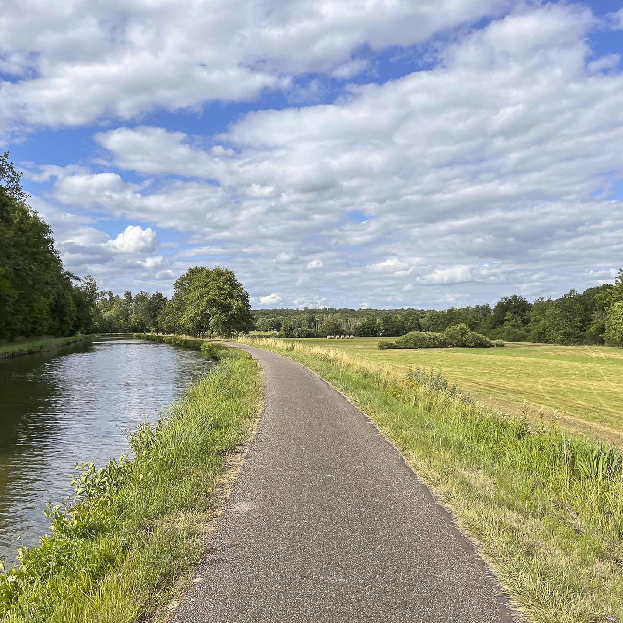
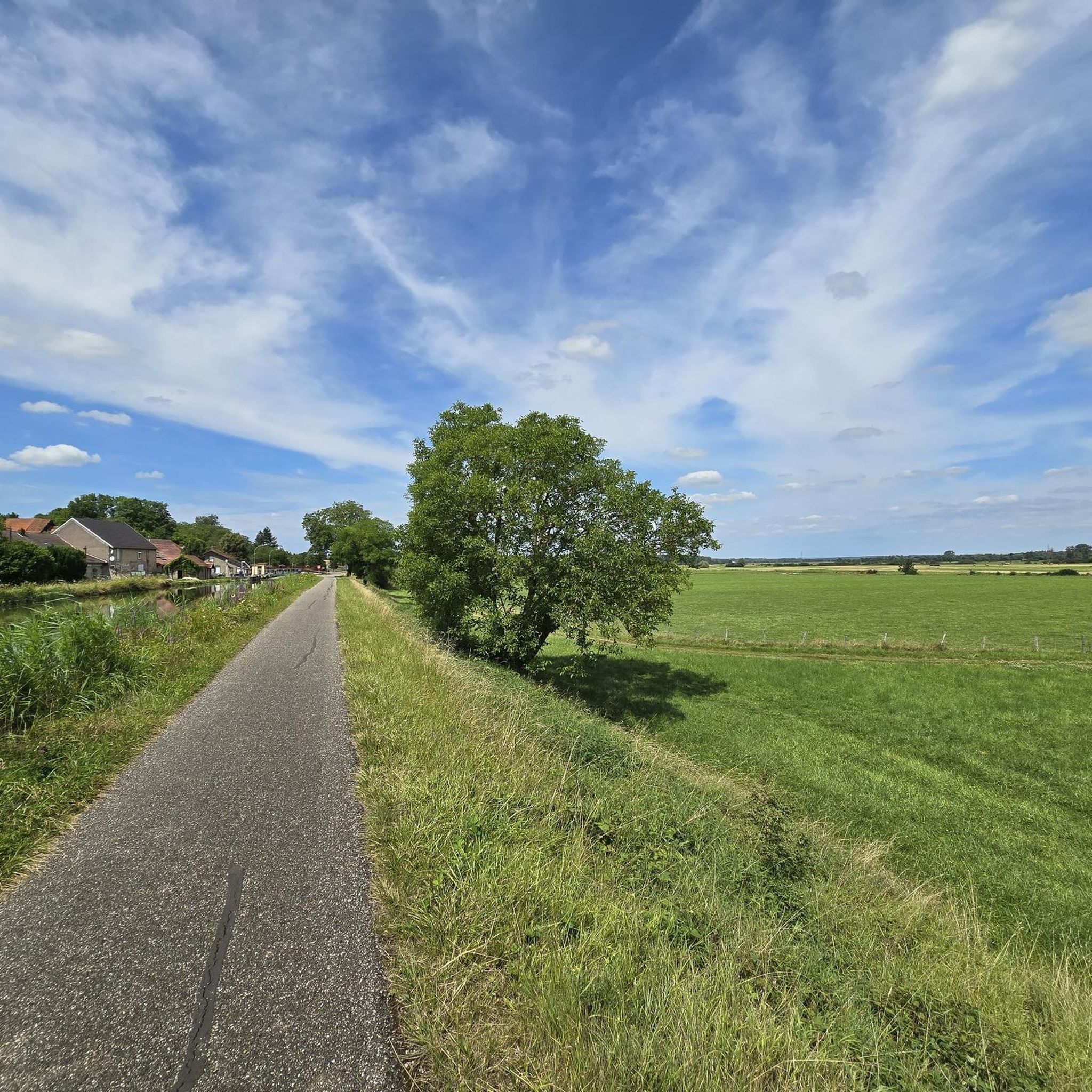
The cycle path runs along the Sarralbe river stop. There are picnic tables for a break.
0
0

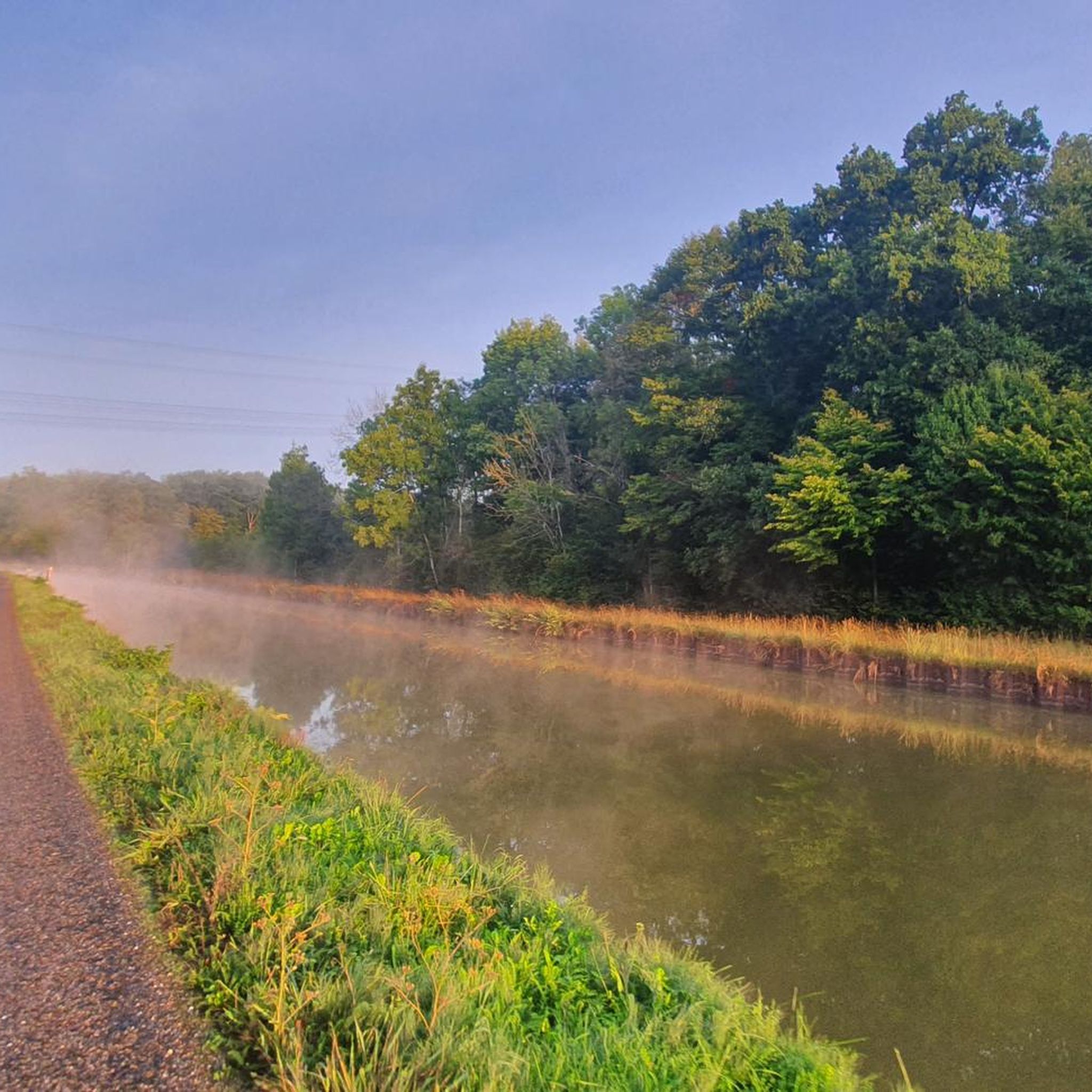
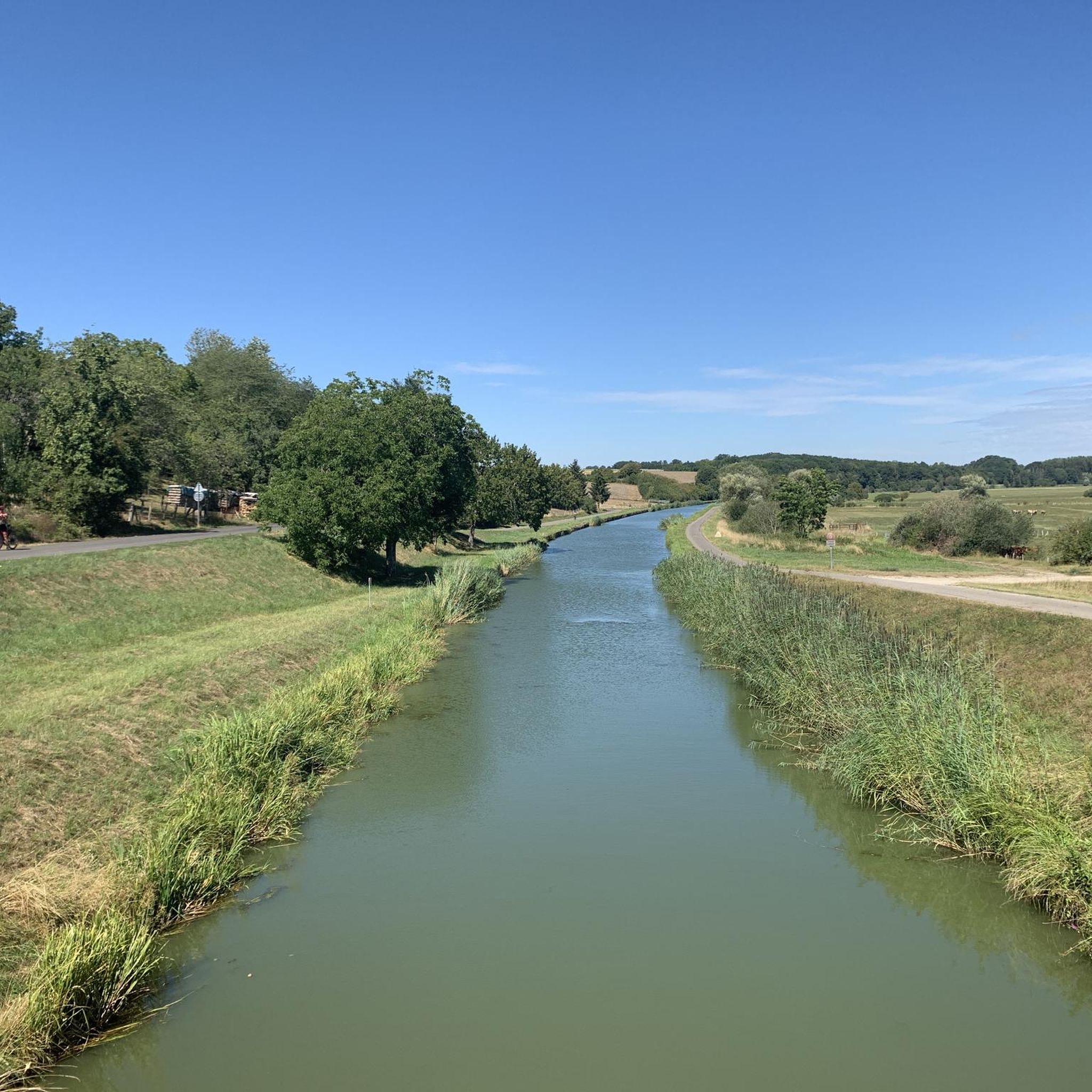
Great cycle path along the Saar Canal.
2
0
Beautiful and well-paved cycle route.
2
0
Impressive church in the town with the beautiful city gate.
2
0
Wonderful little town with restaurants, cafes and bakery. Good place to take a break or stay overnight.
2
1

The cycle path stretches from Sarreguemines to Gondrexange.
0
0

Frequently Asked Questions
What is the general difficulty level of gravel bike trails around Wiebersweiler?
The gravel bike trails in Wiebersweiler are primarily of moderate difficulty. The region features gently rolling terrain with moderate elevation gains, making them accessible for a range of skill levels, though there are no routes specifically classified as easy or difficult in our current selection.
What are the typical lengths of gravel bike trails in the Wiebersweiler area?
Gravel bike trails around Wiebersweiler vary in length, generally ranging from approximately 15 miles (24 km) to nearly 30 miles (48 km). For instance, the Sarralbe Town Centre – Bissert lock loop from Ville-Neuve de Sarrewerden is about 22.5 miles (36.2 km), while the Canal next to the campsite – Grand Pond of Mittersheim loop from Fénétrange − Étang extends to almost 30 miles (47.9 km).
Are there suitable gravel bike trails for beginners or families in Wiebersweiler?
While there are no routes specifically marked as 'easy' for gravel biking, the moderate difficulty of all available trails, characterized by gently rolling terrain and canal-side paths, can be suitable for beginners or families looking for a pleasant ride. Routes like the Neuweyerhof – Saint-Barthélemy Church loop from Sarre-Union offer rural landscapes that might appeal to those seeking a less strenuous experience.
When is the best time of year to go gravel biking in Wiebersweiler?
Given the region's mix of open landscapes and canal-side paths, spring and autumn are generally ideal for gravel biking in Wiebersweiler. The weather is typically milder, and the natural scenery is particularly beautiful. Summer can also be pleasant, especially along shaded canal sections, but be prepared for warmer temperatures.
What can I see along the gravel bike trails around Wiebersweiler?
Many routes in Wiebersweiler offer a blend of natural beauty and historical interest. You can expect to see features like the Grand Pond of Mittersheim, sections of the Canal des Houillères de la Sarre, and the Cycle Path Along the Canal de la Sarre. Historical sites, such as those found on the Maginot Line Bunker MC 24 – Rémering Les Puttelanges loop from Holving, also add unique points of interest.
Are there any loop trails for gravel biking in Wiebersweiler?
Yes, all the gravel bike routes highlighted in the Wiebersweiler area are loop trails, designed to bring you back to your starting point. Examples include the Bissert lock – Canal next to the campsite loop from Sarralbe, which offers a circular ride through the local landscape.
What do other gravel bikers enjoy the most about gravel biking in Wiebersweiler?
The komoot community highly rates the gravel biking experience in Wiebersweiler, with an average score of 4.5 stars from around 8 reviews. Riders often praise the varied terrain, which includes canal-side paths and open countryside, and the presence of historical sites that add interest to the rides.
Are there any advanced or challenging gravel routes for experienced riders in Wiebersweiler?
Currently, all gravel bike routes listed for Wiebersweiler are classified as moderate. While there are no routes specifically designated as 'difficult,' experienced riders may find the longer routes, such as the nearly 30-mile loops, offer a good endurance challenge within the region's gently rolling terrain.
Is it possible to access gravel bike trails near Wiebersweiler using public transport?
Specific public transport access points for each gravel bike trail vary. We recommend checking the individual tour pages on komoot for detailed information on how to reach the starting points of routes like the Sarralbe Town Centre – Bissert lock loop from Ville-Neuve de Sarrewerden, as some may be more accessible than others.
Are there cafes or places to stop for refreshments along the gravel bike routes?
While the guide data doesn't explicitly list cafes on every route, many trails pass through or near small towns and villages where you can typically find local establishments for refreshments. For example, routes starting or passing through Sarralbe or Sarre-Union are likely to offer opportunities for a break.
What kind of terrain can I expect on gravel bike trails in Wiebersweiler?
You can expect a diverse mix of terrain, including sections alongside canals and ponds, open agricultural areas, and some rural landscapes. The routes are characterized by gently rolling hills, providing a varied and engaging gravel biking experience without significant steep climbs.
Most popular routes around Wiebersweiler
Most popular attractions around Wiebersweiler

Get inspired with the komoot mobile app


Explore more
Browse the best Gravel rides in other regions.
