The best gravel rides around Villapourçon
4.3
(10)
79
riders
3
rides
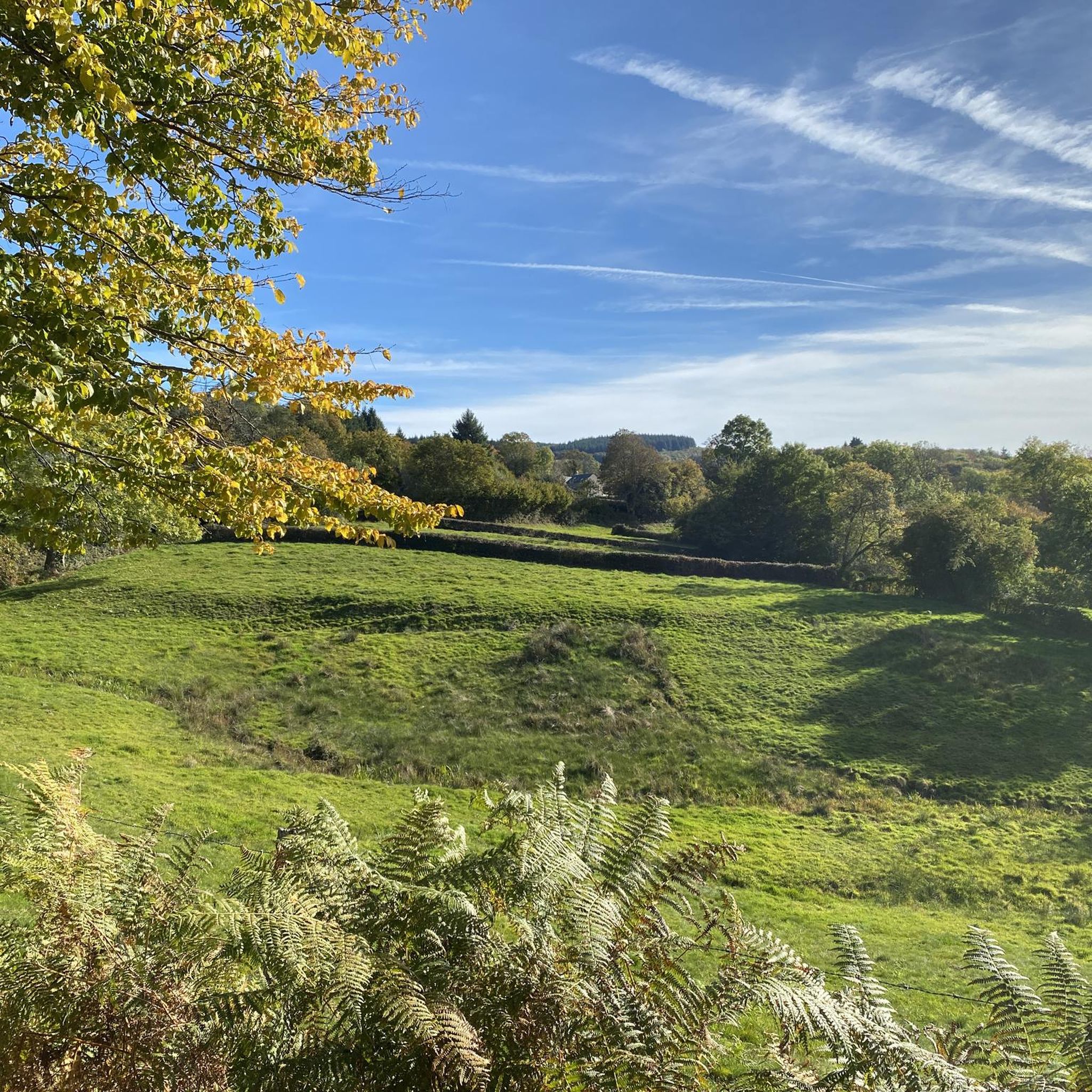
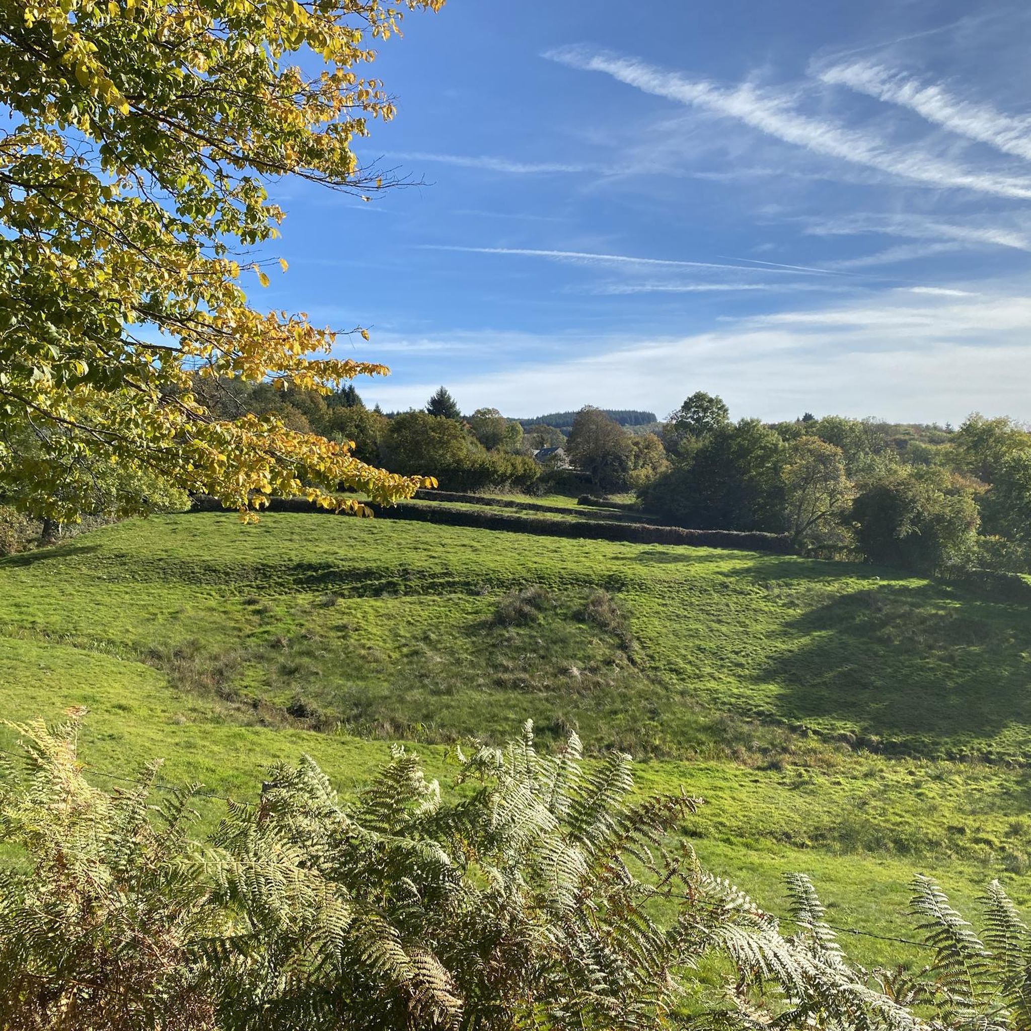
Gravel biking around Villapourçon offers routes through the hilly terrain of the Morvan Regional Natural Park. The region is characterized by dense forests, rolling hills, and a network of quiet country roads and tracks. Riders can expect varied surfaces, including gravel, dirt, and paved sections, suitable for challenging rides.
Best gravel bike trails around Villapourçon
- The most popular gravel bike trail is Rebout Pass – Mont Beuvray loop from Arleuf, a 46.4 miles (74.6 km) trail that takes 6 hours 2 minutes to complete, featuring significant elevation gain and views of Mont Beuvray.
- Another top favourite among local gravel bikers is Haut-Folin Pass – Old railroad loop from Arleuf, a difficult 32.4 miles (52.1 km) path. This route explores forest tracks and sections of an old railway line, offering a mix of surfaces.
- Local gravel bikers also love the Settons Lake (south) – Lake of Settons loop from Château-Chinon, a 62.8 miles (101.0 km) trail leading through forested areas and alongside Lac des Settons, often completed in about 8 hours 59 minutes.
- Gravel biking around Villapourçon is defined by its challenging climbs, extensive forest paths, and scenic lake views. The network offers options primarily for advanced riders seeking demanding routes.
- The routes in Villapourçon are highly rated by the komoot community with an average score of 4.25 stars from over 10 reviews. More than 70 gravel bikers have used komoot to explore Villapourçon's varied terrain.
Last updated: May 22, 2026
5.0
(3)
25
riders
74.7km
06:02
1,760m
1,760m
Hard gravel ride. Very good fitness required. You may need to push your bike for some segments of this route.
5.0
(1)
13
riders
52.1km
04:15
1,180m
1,180m
Hard gravel ride. Very good fitness required. You may need to push your bike for some segments of this route.

Sign up for free
3.0
(2)
11
riders
101km
07:31
1,750m
1,750m
Hard gravel ride. Very good fitness required. Mostly paved surfaces. Suitable for all skill levels.
9
riders
96.4km
07:25
2,140m
2,140m
Hard gravel ride. Very good fitness required. Mostly paved surfaces. Suitable for all skill levels.
5.0
(1)
6
riders
52.5km
04:16
1,200m
1,200m
Hard gravel ride. Very good fitness required. You may need to push your bike for some segments of this route.
Our route recommendations are based on thousands of hikes, rides, and runs completed by other people on komoot.
Start today with a free account
Your next adventure awaits.
Login or Signup
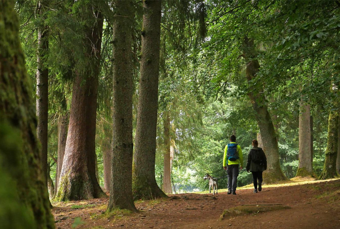
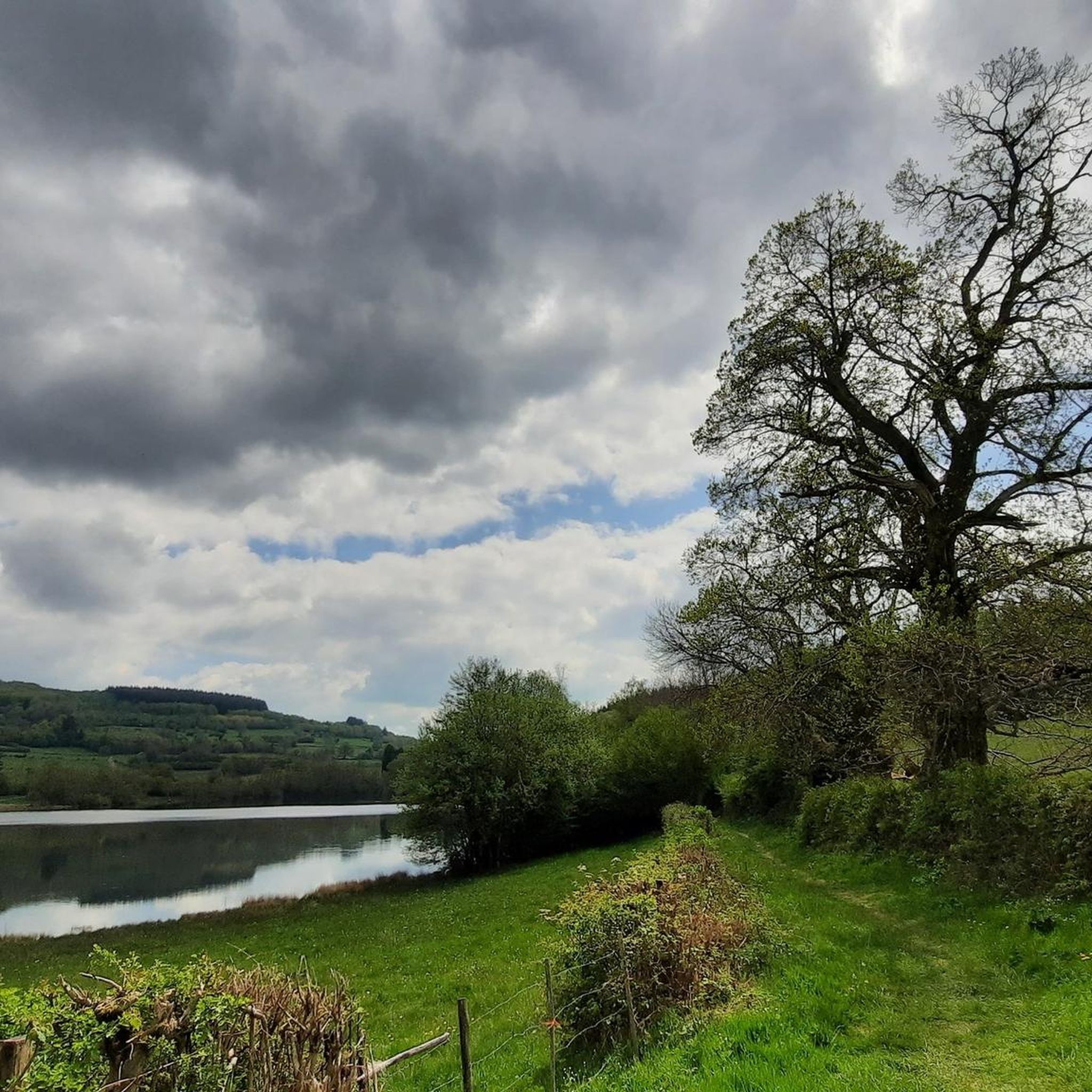
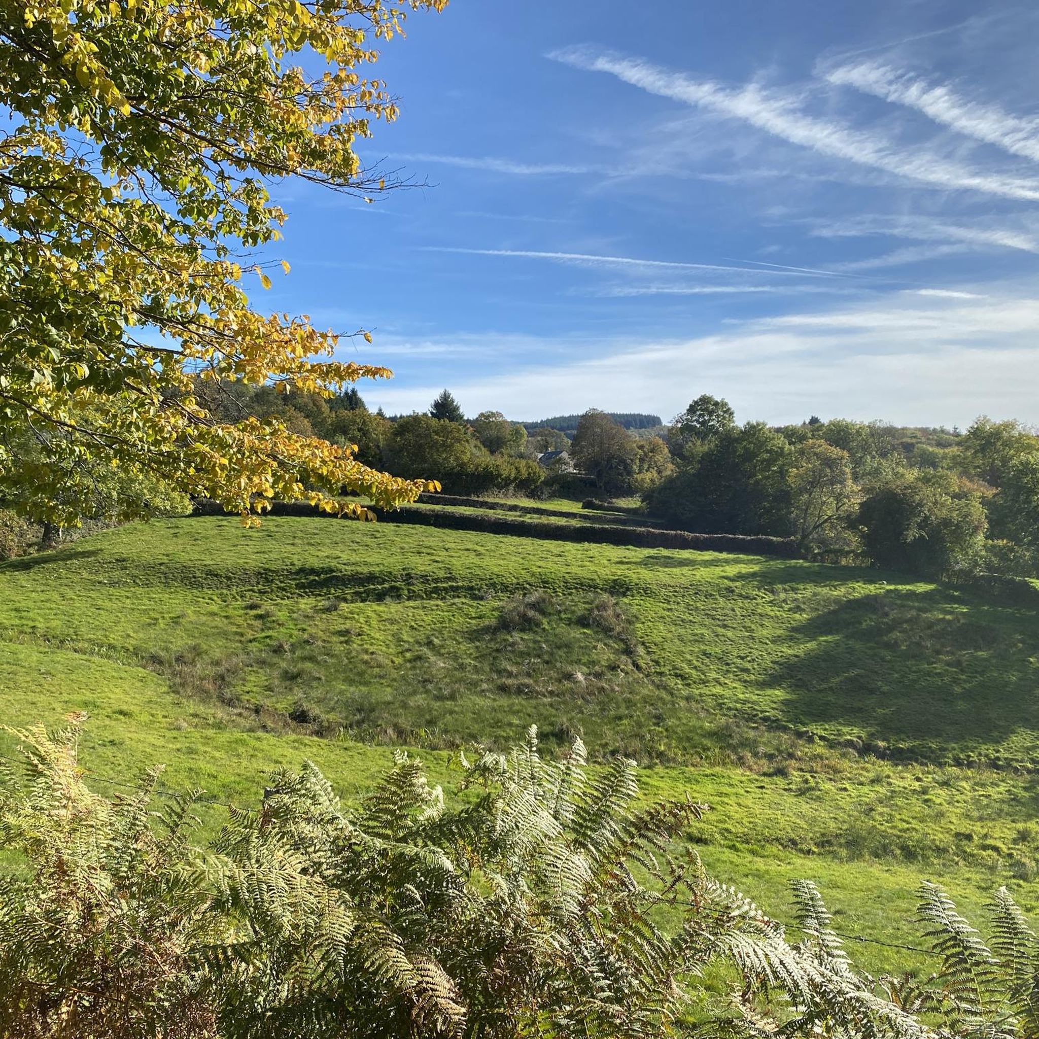
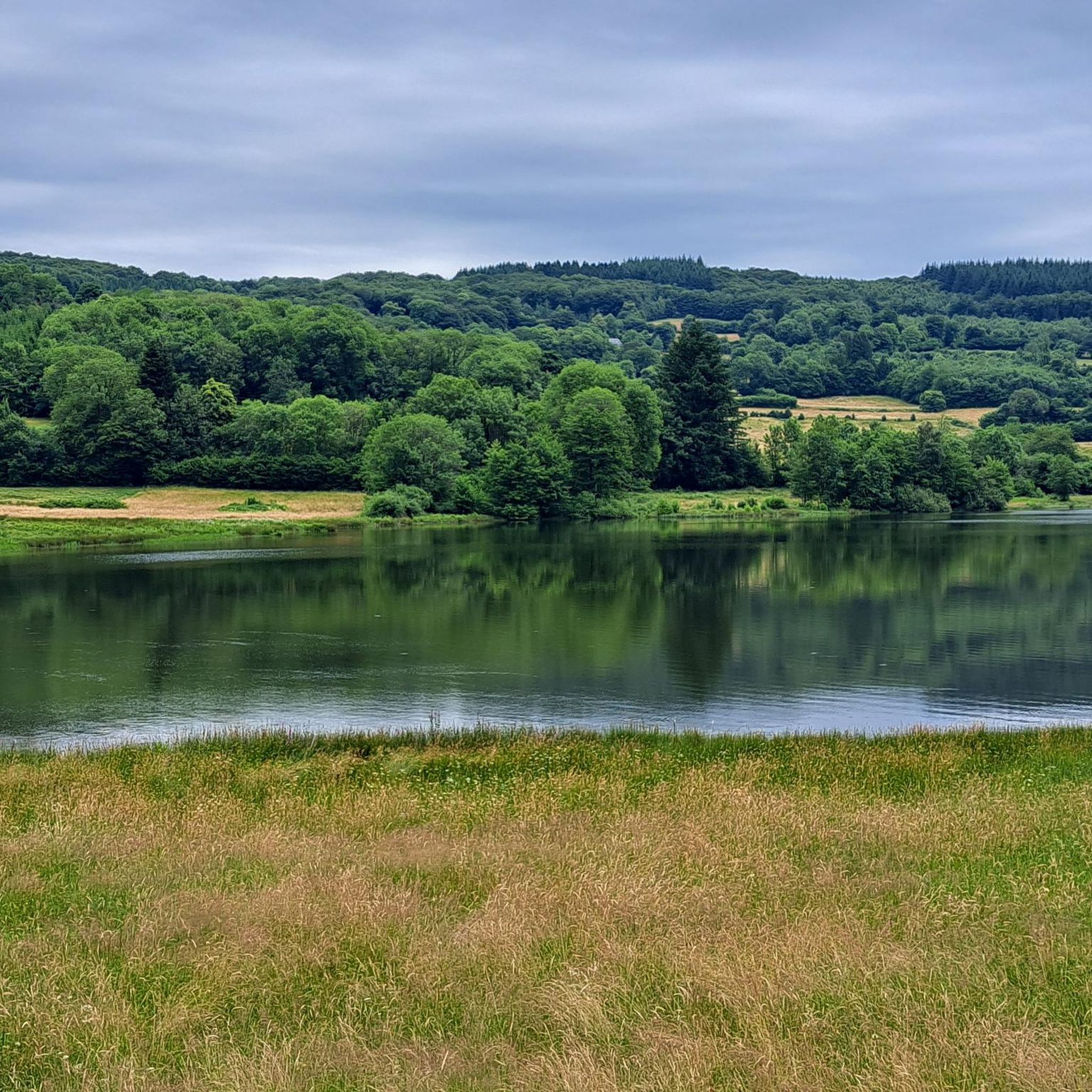
Other adventures around Villapourçon

Tips from the Community

Located at 668 meters in the Nièvre department, the commune of Glux-en-Glenne is the highest in Burgundy. It is home to the European archaeological center of Bibracte and is the site of the listed Mont-Préneley and Sources de l’Yonne.
0
0
The Ouroux-en-Morvan pond offers an ideal setting for a relaxing break by the water. A small, shaded path circles the pond. You'll find several spots for picnics and simply enjoying the surroundings.
0
0

Haut-Folin is the highest point in the Morvan region and, more broadly, in Burgundy, at 901 meters above sea level. This mountain boasts a beautiful natural setting with areas covered in deciduous and coniferous trees. It is also the starting point for numerous hiking and cycling trails.
1
0


A beautiful forest cycle ride, winding through the remains of the Gaulish village of Bibracte! The goal after the Col du Rebout is a one-way loop that descends to Saint-Léger-sous-Beuvray.
0
0

Beautiful and very pleasant for a break!
0
0

Lake Sentons is the most famous lake in Morvan: fishing, water sports and walking.
0
0

The Town Hall Square is named after former President François Mitterrand, who was mayor of Château-Chinon from 1959 to 1981. An imposing "Niki de Saint Phalle Fountain" faces the Town Hall. It is a monumental work composed of sculptures by Niki de Saint Phalle and an articulated base created by Jean Tinguely. It was created between 1987 and 1988, commissioned by President François Mitterrand.
0
0
Frequently Asked Questions
What is the general difficulty level of gravel biking trails around Villapourçon?
The gravel biking trails around Villapourçon are primarily designed for advanced riders. The region features challenging climbs, extensive forest paths, and varied surfaces, making for demanding routes. All routes listed in this guide are rated as difficult.
Are there any beginner-friendly or family-friendly gravel bike trails in the Villapourçon area?
The gravel biking network around Villapourçon is characterized by its challenging nature, with options primarily for advanced riders seeking demanding routes. Therefore, it may not be ideal for beginners or families looking for easy, flat rides.
What are some notable viewpoints or natural attractions along the gravel routes?
Many routes offer scenic views and pass by significant natural features. For instance, the Rebout Pass – Mont Beuvray loop from Arleuf provides views of Mount Beuvray. You might also encounter the Haut-Folin Pass on routes like the Haut-Folin Pass – Old railroad loop from Arleuf. The region also features natural monuments like the Dragne Waterfall and the Sources of the Yonne.
Are there opportunities for wild swimming near the gravel bike trails?
Yes, some routes pass by lakes and ponds that might offer opportunities for wild swimming. The Settons Lake (south) – Lake of Settons loop from Château-Chinon leads alongside Lac des Settons. Additionally, natural monuments in the area include La Canche Pond and Rangère Pond, which could be considered.
What is the longest circular gravel bike route available in the Villapourçon area?
The longest circular gravel bike route in this guide is the Settons Lake (south) – Lake of Settons loop from Château-Chinon, which covers approximately 62.8 miles (101.0 km) and typically takes around 8 hours 59 minutes to complete.
Where can I find parking when starting a gravel bike ride in Villapourçon?
Many of the gravel routes in the area start from towns like Arleuf or Château-Chinon. You can typically find public parking facilities within these towns, which serve as convenient starting points for your rides.
What is the best time of year for gravel biking around Villapourçon?
The best time for gravel biking around Villapourçon is generally from spring through autumn (April to October). During these months, the weather is usually more favorable, with milder temperatures and less precipitation, making the forest paths and varied terrain more enjoyable. Summer can be warm, while spring and autumn offer beautiful foliage.
What are the winter conditions like for gravel biking in Villapourçon?
Gravel biking in Villapourçon during winter can be challenging. The region, being part of the Morvan Regional Natural Park, can experience cold temperatures, snow, and ice, especially on higher elevations and shaded forest tracks. Surfaces may become muddy or slippery, requiring appropriate gear and caution. It's advisable to check local weather conditions before planning a winter ride.
What should I wear for gravel biking in the Villapourçon region?
Given the varied terrain, challenging climbs, and potential for changing weather in the Morvan, it's recommended to wear layered cycling apparel. This allows you to adapt to temperature fluctuations. Padded shorts are essential for comfort on longer rides, and a helmet, gloves, and appropriate footwear are crucial for safety. Consider waterproof or windproof layers, especially during cooler months or if rain is forecast.
Are there any historical sites or cultural landmarks to explore near the gravel trails?
Yes, the region offers interesting historical and cultural sites. For example, the Bibracte Museum is a significant archaeological site related to ancient Gaul. The Château-Chinon Town Center also offers a glimpse into local life and history. You might also encounter the Mount Beuvray, which is an important historical and natural landmark.
What do other gravel bikers enjoy most about the Villapourçon trails?
The gravel biking routes in Villapourçon are highly rated by the komoot community, with an average score of 4.25 stars from over 10 reviews. Riders often praise the challenging climbs, the extensive forest paths, and the scenic lake views, particularly around Lac des Settons. The varied terrain and demanding nature of the routes are also frequently highlighted.
Which gravel route explores an old railway line?
The Haut-Folin Pass – Old railroad loop from Arleuf is a difficult 32.4 miles (52.1 km) path that specifically explores forest tracks and sections of an old railway line, offering a unique mix of surfaces and historical interest.
Are all gravel bike routes in Villapourçon circular?
Yes, all the gravel bike routes highlighted in this guide for the Villapourçon area are designed as circular loops, allowing you to start and finish at the same point without needing to arrange transportation back.
Most popular routes around Villapourçon
Most popular attractions around Villapourçon

Get inspired with the komoot mobile app


Explore more
Browse the best Gravel rides in other regions.
