The best gravel rides around Tramayes
3.8
(6)
12
riders
12
rides
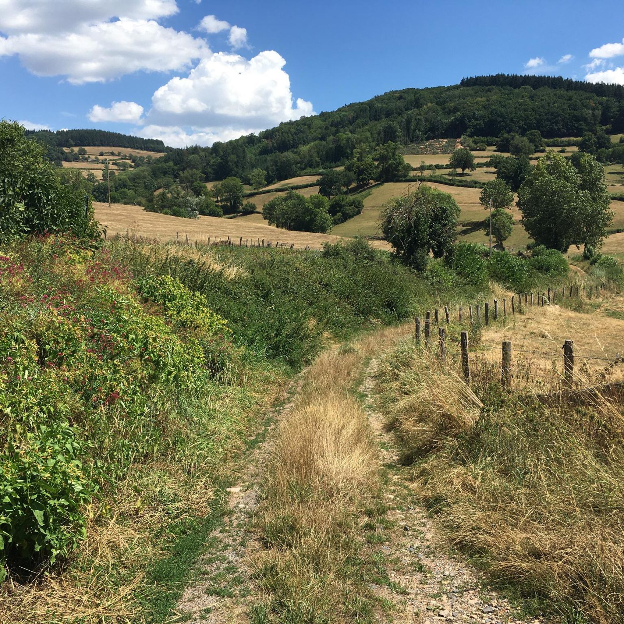
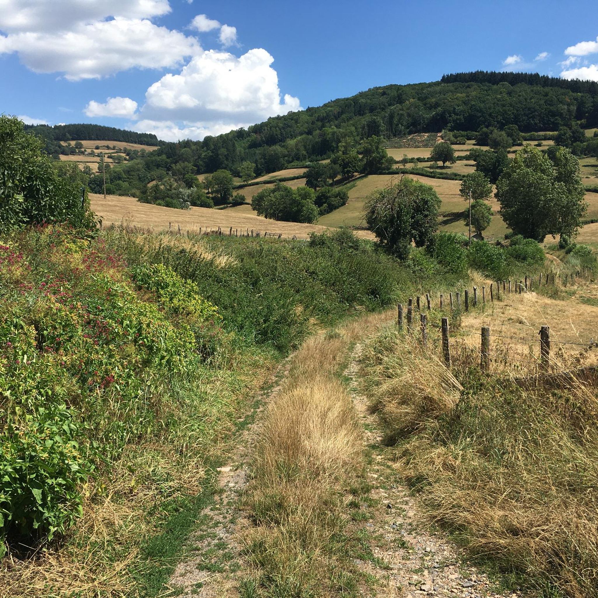
Gravel biking around Tramayes offers routes through the varied landscapes of the Saône-et-Loire department in the Burgundy-Franche-Comté region. The area is characterized by rolling hills, dense forests, and bocage, providing a mix of paved and unpaved roads suitable for gravel bikes. Routes often traverse the "verts vallons" (green valleys) and include sections through vineyards and forest tracks. The Monts du Mâconnais define the region's topography, with elevations offering panoramic views.
Best gravel bike trails around Tramayes
- The most popular gravel…
Last updated: May 21, 2026
5.0
(1)
3
riders
48.6km
03:38
1,040m
1,040m
Hard gravel ride. Very good fitness required. Mostly paved surfaces. Suitable for all skill levels.
3
riders
43.7km
03:18
1,060m
1,050m
Hard gravel ride. Very good fitness required. Mostly paved surfaces. Suitable for all skill levels.

Sign up for free
4.0
(1)
2
riders
Hard gravel ride. Very good fitness required. Mostly paved surfaces. Suitable for all skill levels.
6
riders
Hard gravel ride. Very good fitness required. Mostly paved surfaces. Suitable for all skill levels.
1
riders
51.0km
03:55
710m
700m
Hard gravel ride. Very good fitness required. Mostly paved surfaces. Suitable for all skill levels.
Get access to more routes and recommendations from other explorers.
Sign up for free
Already have an account?
Our route recommendations are based on thousands of hikes, rides, and runs completed by other people on komoot.
Start today with a free account
Your next adventure awaits.
Login or Signup
Tips from the Community

The Col du Bois Clair is a 396-meter high French mountain pass in the Massif Central. It is located in the Bourgogne-Franche-Comté region in the Saône-et-Loire department and lies within the municipality of Sologny. The pass summit is crossed by the departmental road D17. Beneath the pass runs the Tunnel du Bois Clair, a former railway tunnel. At 1.6 kilometers long, it is the longest tunnel in France accessible to bicycles. Today it serves as part of the Voie Verte cycle path, but is closed from October to April to protect hibernating bats.
0
0
The Château de Berzé-le-Châtel (also Forteresse de Berzé) is the largest and best-preserved medieval castle in Southern Burgundy. The complex dates back to a 10th-century castrum and was strategically built on a rocky outcrop to protect the nearby powerful Abbey of Cluny. The fortress consists of three ring walls and has 13 towers (including two keeps/donjons) as well as an imposing gatehouse. The centerpiece inside is a remarkable Carolingian chapel.
0
0
The Castle of Berzé-le-Châtel (also known as Forteresse de Berzé) is the largest and best-preserved medieval castle in Southern Burgundy. The complex dates back to a 10th-century castrum and was strategically built on a rocky outcrop to protect the nearby powerful Abbey of Cluny. The fortress consists of three ring walls and features 13 towers (including two keeps/donjons) as well as an imposing gatehouse. The heart of the interior is a remarkable Carolingian chapel.
0
0
The Voie Verte de Bourgogne du Sud is France's oldest car-free rail-trail cycle path. It runs for almost 70 kilometers through the vineyards and hills of southern Burgundy between the towns of Chalon-sur-Saône and Mâcon.
0
0
The Voie Verte de Bourgogne du Sud is France's oldest car-free rail trail. It runs for almost 70 kilometers through the vineyards and hills of southern Burgundy between the towns of Chalon-sur-Saône and Mâcon.
0
0
The Col des Enceints is a mountain pass in the French region of Bourgogne-Franche-Comté (Département Saône-et-Loire) with a summit elevation of 529 meters. The pass is located in the Mâconnais mountains (Monts du Mâconnais) near the municipality of Bourgvilain. It is a popular route, especially among cyclists and hikers: For cyclists: The ascent from Pierreclos extends over approximately 4.3 kilometers with an elevation difference of about 257 meters and an average gradient of just under 6% (up to 12% at its steepest). For hikers: A moderate, approximately 8.5-kilometer circular hiking trail from Bourgvilain leads over the pass, among other routes, passing through forests and past small hamlets.
0
0
The Pierreclos Castle (Château de Pierreclos) is a historic, Romanesque castle complex and a renowned winery. The origins date back to the 9th to 11th centuries, starting with a Romanesque chapel. In the 13th century, the complex was expanded into a medieval fortress. It is now protected as a private historical monument. The castle is located on a rocky outcrop that has been used for viticulture since the 6th century. The Pidault family's winery produces organically certified white and red wines (including Pouilly-Fuissé and Mâcon-Pierreclos).
1
0
In the Middle Ages, the abbey was one of the most influential spiritual and cultural centers in Europe. Cluny was the mother house of the Cluniac Reform and headed a federation of over 1,200 monasteries. The third abbey church (Cluny was the largest church in the Christian world until the construction of St. Peter's Basilica in Rome). Of the once-mighty complex, only parts of the southern transept remain today, as the abbey was largely used as a quarry and demolished after the French Revolution.
0
0
Frequently Asked Questions
What kind of terrain can I expect on gravel bike trails around Tramayes?
The region around Tramayes offers a diverse landscape of rolling hills, dense forests, and bocage (small fields enclosed by hedges and woods). You'll encounter a mix of paved and unpaved roads, forest tracks, and verdant paths, often traversing the 'verts vallons' (green valleys) and sections through vineyards. The Monts du Mâconnais define the topography, providing varied surfaces and elevation changes.
Are there gravel bike routes suitable for beginners in Tramayes?
While many routes in the area are rated as difficult, there is at least one moderate option available. The Route de Montmelard loop from Dompierre-les-Ormes is a moderate 11.6 km trail, offering a less challenging experience for those new to gravel biking or looking for a shorter ride.
What are some of the longer gravel biking routes in the Tramayes area?
For longer rides, consider the Mont Rouge – Forest Path Around Chevagny loop from La Roche-Vineuse, which covers 50.5 km. Another substantial option is the Col de Gerbet – Col de la Grange du Bois loop from Sologny, spanning 48.6 km and featuring significant elevation changes through the Mâconnais mountains.
Can I find routes that offer panoramic views?
Yes, the Monts du Mâconnais, where Tramayes is situated, offer several elevated points with stunning vistas. The Signal de la Mère Boitier, the highest point at 758 meters, provides a 360-degree panoramic view stretching across the Alps, Jura, and the surrounding mountains. Many routes will offer picturesque views of the Grosne Valley, Charolais, and Beaujolais mountains.
What historical or natural landmarks can I see along the gravel bike trails?
The region is rich in points of interest. You can combine your rides with visits to historical sites like the Medieval fortress of Berzé-le-Châtel (highlight) or Pierreclos Castle (highlight). For natural wonders, the iconic Roche de Solutré (highlight) and Vergisson Rock (highlight) are nearby and offer impressive geological formations and views.
Are there any routes that follow greenways or dedicated cycling paths?
Yes, the Greenway of Southern Burgundy – Voie Verte de Bourgogne du sud loop from La Roche-Vineuse is a 27.3 km trail that leads through the scenic Southern Burgundy region, utilizing a dedicated greenway. Another route, the Lamartine House – Greenway of Southern Burgundy loop from Pierreclos, also incorporates sections of this greenway.
What do other gravel bikers say about the trails in Tramayes?
The gravel biking routes around Tramayes are highly rated by the komoot community, with an average score of 4.0 stars from over 6 reviews. Users often praise the varied terrain, the scenic 'verts vallons,' and the immersive experience through forests and vineyards.
What is the best season for gravel biking in Tramayes?
The varied landscapes of Tramayes, with its green valleys, forests, and vineyards, are enjoyable across multiple seasons. Spring and autumn offer pleasant temperatures and beautiful scenery, with changing foliage in autumn. Summer can be warm, but forest sections provide shade. Winter riding is possible, but conditions may vary, especially on unpaved tracks.
Are there any resources for more information about the Tramayes region?
For general tourist information about the region, including sites and activities, you can consult the local Tourist Office. Additionally, you can find more details about specific itineraries and the 'verts vallons' area on external tourism sites like burgundy-tourism.com or tourismevertsvallons.com.
How many gravel bike trails are available in the Tramayes area?
There are nearly 10 gravel bike trails documented around Tramayes, offering a range of experiences from moderate to difficult, primarily through the region's characteristic rolling hills, forests, and vineyards.
Are there any routes that pass through vineyards?
Yes, the area transitions into wine-growing landscapes, particularly on the way to Mâcon. Many gravel routes will take you through vineyards, allowing you to experience the viticultural heritage of the region on gravel or compacted earth paths.
Most popular attractions around Tramayes

Get inspired with the komoot mobile app


Explore more
Browse the best Gravel rides in other regions.
