The best gravel rides around Vauclaix
4.6
(6)
49
riders
5
rides
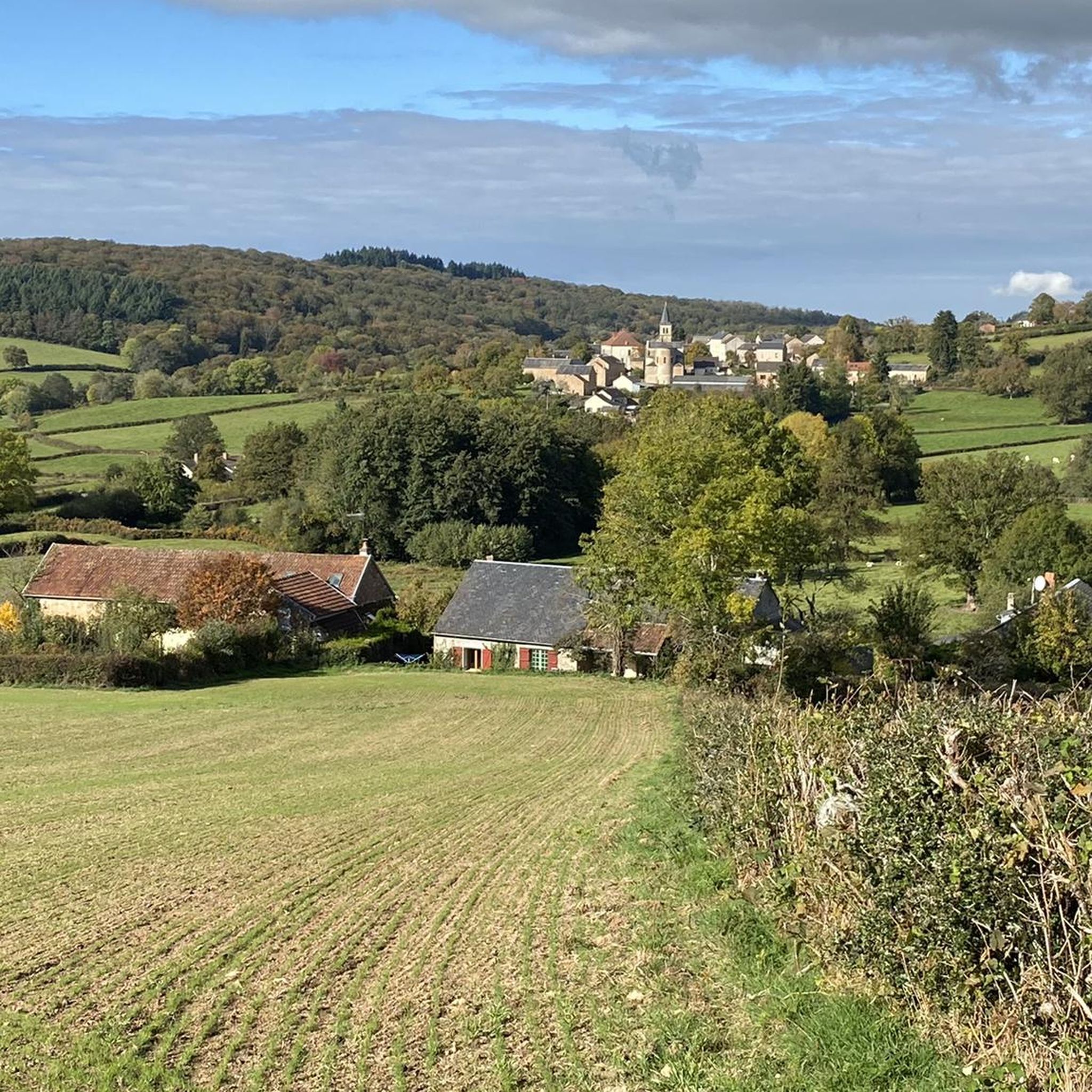
Gravel biking around Vauclaix is characterized by its varied terrain, featuring extensive forests, rolling hills, and numerous lakes. The region, situated near the Morvan Regional Natural Park, offers a network of paths suitable for gravel bikes, often following the contours of the landscape and connecting natural water bodies. These routes frequently include sections along the shores of large reservoirs like Lake Chaumard-Pannecière and Lac de Pannecière, as well as paths through wooded areas. The elevation changes provide a challenging experience…
Last updated: October 5, 2026
14
riders
54.2km
04:03
960m
970m
Hard gravel ride. Very good fitness required. Mostly paved surfaces. Suitable for all skill levels.
4.0
(2)
15
riders
51.0km
03:59
880m
880m
Hard gravel ride. Very good fitness required. Mostly paved surfaces. Suitable for all skill levels.

5.0
(1)
3
riders
Hard gravel ride. Very good fitness required. Mostly paved surfaces. Suitable for all skill levels.
4
riders
29.2km
02:12
460m
460m
Hard gravel ride. Very good fitness required. Mostly paved surfaces. Suitable for all skill levels.
4.5
(2)
2
riders
28.7km
02:20
590m
590m
Hard gravel ride. Very good fitness required. Mostly paved surfaces. Suitable for all skill levels.
Our route recommendations are based on thousands of hikes, rides, and runs completed by other people on komoot.
Start today with a free account
Your next adventure awaits.
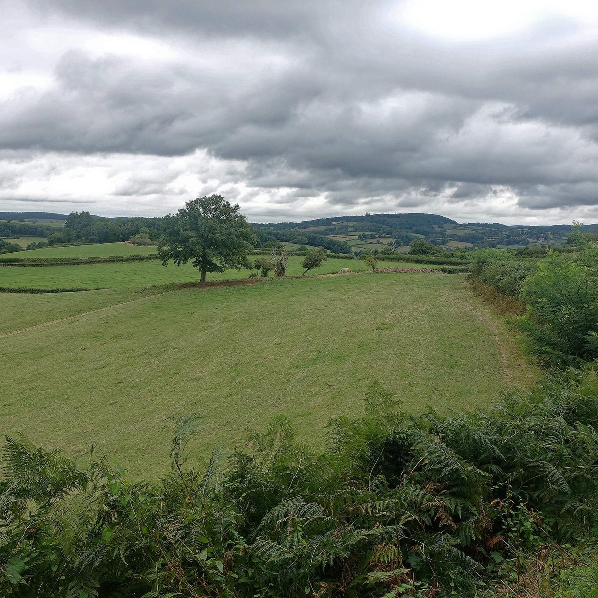
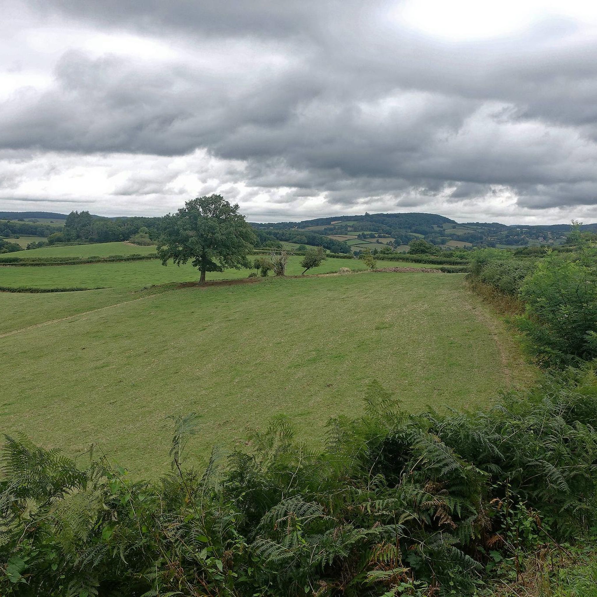
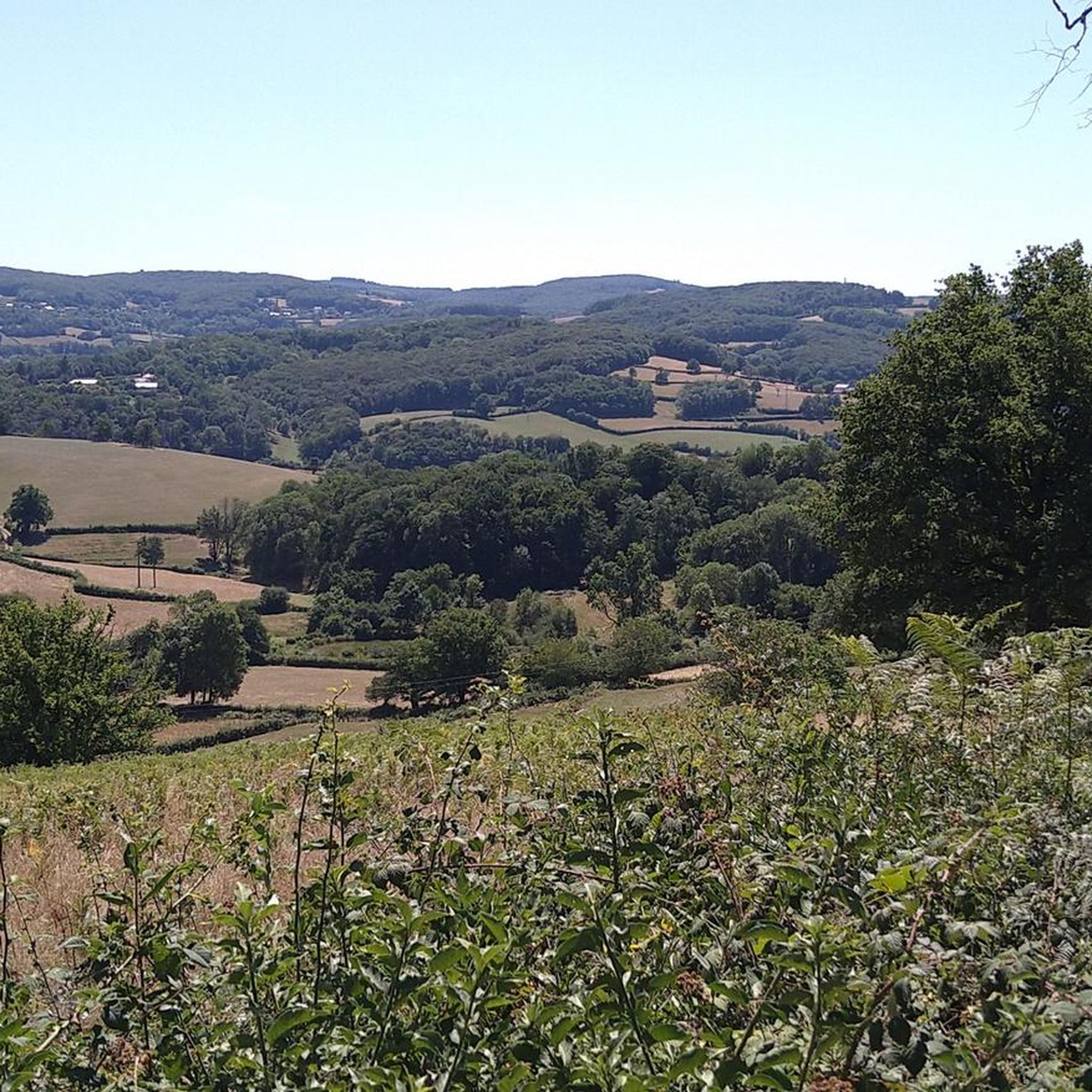
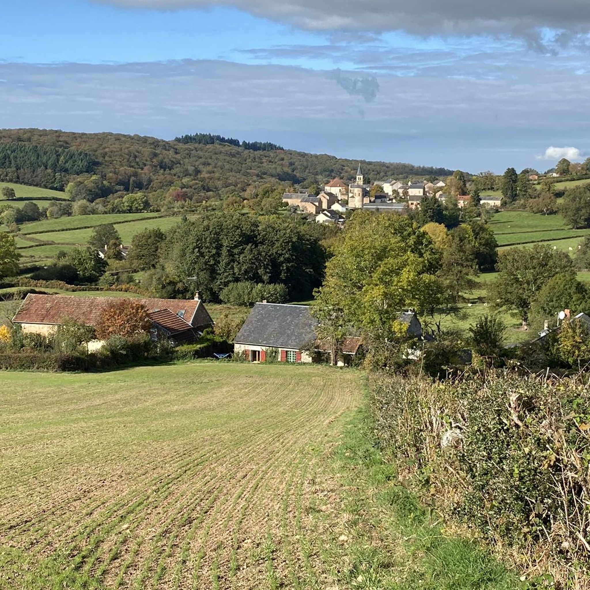
Tips from the Community

The Pannecière reservoir was commissioned in 1949. This artificial lake's purpose is to increase the flow of the Yonne and Seine rivers and to mitigate the risk of flooding. It is the largest lake in the Morvan region.
0
0
Located in the heart of the Morvan region, the village of Brassy offers an ideal stopover. You will find several shops there, including a bakery, a mini-market, and a hotel.
1
0

very nice walk
0
0

The road on the dam is closed
0
0

Beautiful and very pleasant for a break!
0
0


Long but regular neck, without great difficulty.
0
0
Frequently Asked Questions
How many gravel bike trails are available around Vauclaix?
There are 9 gravel bike trails available around Vauclaix, offering a variety of experiences through forests, rolling hills, and along lakes.
What is the best time of year for gravel biking in Vauclaix?
The region's extensive forests and lakes make spring, summer, and early autumn ideal for gravel biking. The vibrant foliage in autumn and lush greenery in spring offer particularly scenic rides. Winter conditions might present challenges due to weather, so checking local forecasts is advisable.
Are there challenging gravel bike routes in Vauclaix?
Yes, Vauclaix is known for its challenging gravel routes. Out of the 9 available trails, 7 are rated as difficult, featuring significant elevation changes and substantial climbs. For example, the Pont des Vouas over the Yonne – Pannecière reservoir lake loop from Chaumard is a difficult 54 km path with over 1000 meters of elevation gain.
Are there any circular gravel bike routes in Vauclaix?
Many of the gravel bike routes in Vauclaix are designed as loops, allowing you to start and end in the same location. Examples include the popular Lake Chaumard-Pannecière – Lac de Pannecière loop from Chaumard and the Settons Lake – Settons Lake Dam loop from Chaumard.
Are there any easy gravel bike trails suitable for beginners in Vauclaix?
The gravel biking terrain around Vauclaix is generally characterized by rolling hills and significant elevation changes, making most routes moderate to difficult. Currently, there are no trails specifically rated as easy, but there are 2 moderate routes available, such as the Brassy – Church of Brassy loop from Brassy, which is 28.2 km long with around 450 meters of ascent.
What are some longer gravel bike routes, for example around 50km, in Vauclaix?
Several routes in Vauclaix are around or exceed 50km. The Pont des Vouas over the Yonne – Pannecière reservoir lake loop from Chaumard is 54 km, and the Settons Lake – Settons Lake Dam loop from Chaumard covers 63.2 km. These routes offer extensive riding through the region's scenic landscapes.
How long does it typically take to complete a gravel bike trail in Vauclaix?
The duration varies depending on the route's length and difficulty. For instance, the 64.6 km Lake Chaumard-Pannecière – Lac de Pannecière loop from Chaumard typically takes around 4 hours and 50 minutes, while the 40 km Lac de Pannecière – Lake Chaumard-Pannecière loop from Mhère can be completed in about 3 hours and 24 minutes.
Where can I find parking for gravel biking in Vauclaix?
Many routes start from villages like Chaumard, Mhère, or Brassy, where you can typically find local parking facilities. It's always a good idea to check specific starting points for designated parking areas.
Are there cafes or pubs along the gravel bike trails in Vauclaix?
While the routes often traverse natural areas, some pass near or through small towns. The Town of Corbigny, for example, is listed as a place with cafes and could be a stop for refreshments. Planning your route with potential stops in mind is recommended.
What scenic viewpoints can I expect on gravel routes in Vauclaix?
The gravel routes in Vauclaix frequently offer stunning views of large reservoirs like Lac de Pannecière and Settons Lake, as well as panoramic vistas over the Morvan Regional Natural Park's rolling hills and dense forests. The routes are designed to showcase the natural beauty of the region.
What do other gravel bikers enjoy the most about gravel biking in Vauclaix?
The area is highly rated by the komoot community, with an average score of 4.2 stars from over 5 reviews. Reviewers often praise the varied terrain, the extensive network of paths through dense forests, and the beautiful sections along the shores of the region's numerous lakes, highlighting the challenging yet rewarding experience.
Are there any natural attractions or landmarks to see along the gravel bike trails?
Yes, the region is rich in natural beauty. You can encounter several lakes such as Étang Chaumail, Ouroux-en-Morvan pond, and Étang du Moulin du Bois. Additionally, the Narvau Waterfall is a notable natural highlight in the vicinity.
Most popular attractions around Vauclaix

Get inspired with the komoot mobile app


Explore more
Browse the best Gravel rides in other regions.
