The best gravel rides around Viala-Du-Pas-De-Jaux
4.7
(12)
331
riders
16
rides
Gravel biking around Viala-Du-Pas-De-Jaux offers routes through varied landscapes on the Larzac plateau, characterized by expansive plateaus and scenic viewpoints. The region features significant elevation changes, with trails often traversing rural areas and connecting historical sites. Riders can expect a mix of terrain suitable for gravel bikes, including unpaved roads and tracks, within the UNESCO World Heritage-listed Causses and Cévennes region.
Best gravel bike trails around Viala-Du-Pas-De-Jaux
- The most popular gravel bike trail is Brunas Viewpoint – Cap de Coste…
Last updated: November 3, 2026
5.0
(3)
244
riders
99.9km
06:58
1,540m
1,540m
Hard gravel ride. Very good fitness required. Mostly paved surfaces.
5.0
(2)
6
riders
Hard gravel ride. Good fitness required. You may need to push your bike for some segments of this route.

4.0
(3)
8
riders
46.8km
03:23
500m
500m
Hard gravel ride. Very good fitness required. Mostly paved surfaces.
7
riders
48.2km
03:18
680m
680m
Hard gravel ride. Very good fitness required. Mostly paved surfaces.
8
riders
96.2km
06:40
1,650m
1,650m
Hard gravel ride. Very good fitness required. Mostly paved surfaces.
Get access to more routes and recommendations from other explorers.
Already have an account?
Our route recommendations are based on thousands of hikes, rides, and runs completed by other people on komoot.
Start today with a free account
Your next adventure awaits.
Tips from the Community

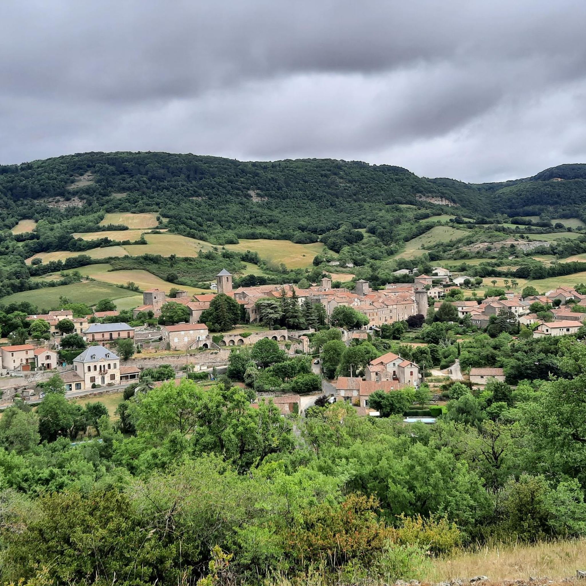
Located in the heart of the Larzac plateau, in the Aveyron, La Couvertoirade is a superb fortified medieval city, ranked among the Most Beautiful Villages of France. Formerly owned by the Templars, then by the Hospitallers, it captivates with its 15th-century ramparts, its cobbled streets, its stone houses, and its Templar castle. Don't miss the church, the communal oven, and the lavogne, a traditional basin for collecting rainwater.
0
0
In the heart of Creissels, the Pesquié basin forms a surprisingly vast body of water (1,000 m²) compared to the modest stream that feeds it. Its name, which comes from Occitan and means "fish pond", recalls the ancient purpose of the place, linked to fish farming. The town hall now occupies the premises of a former fish farm. The basin is fed by the Creissels waterfall, a typical resurgence of the karst functioning of the Larzac: the water infiltrated into the limestones of the plateau reappears after an underground journey. In September 2023, the municipality dredged the basin and created a spawning ground for brown trout (Salmo trutta). The restoration has borne fruit, as trout have since recolonized the body of water, alongside amphibians and other aquatic organisms that find refuge in the surrounding wetland.
3
0
This place is the starting point of the Voie Verte which runs along the Tarn and leads to Creissels. You can discover the troglodytic village of Peyre in particular, a very pleasant forest section which, in places, forms a real green tunnel. Further on, you can enjoy a magnificent view of the Millau Viaduct.
3
0
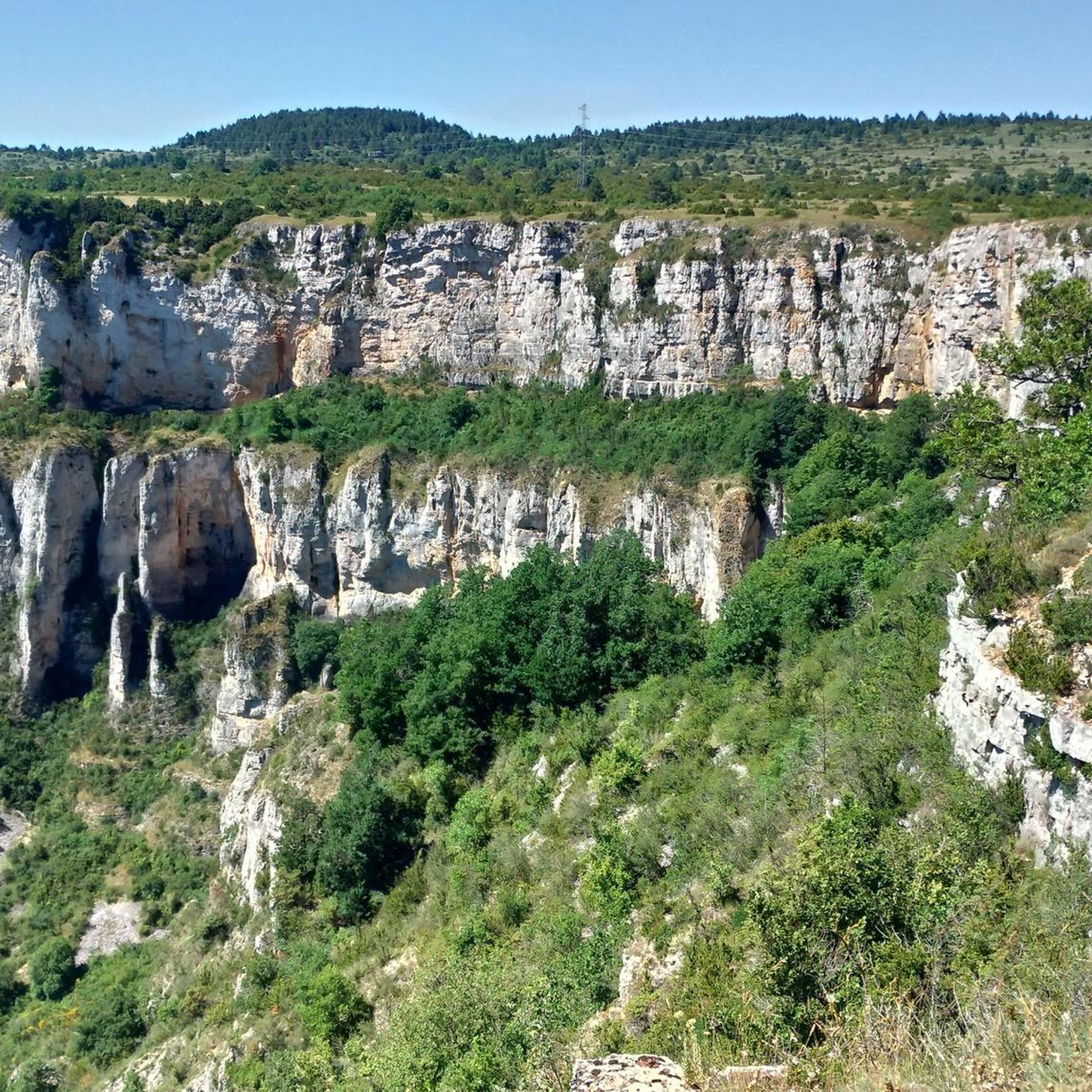
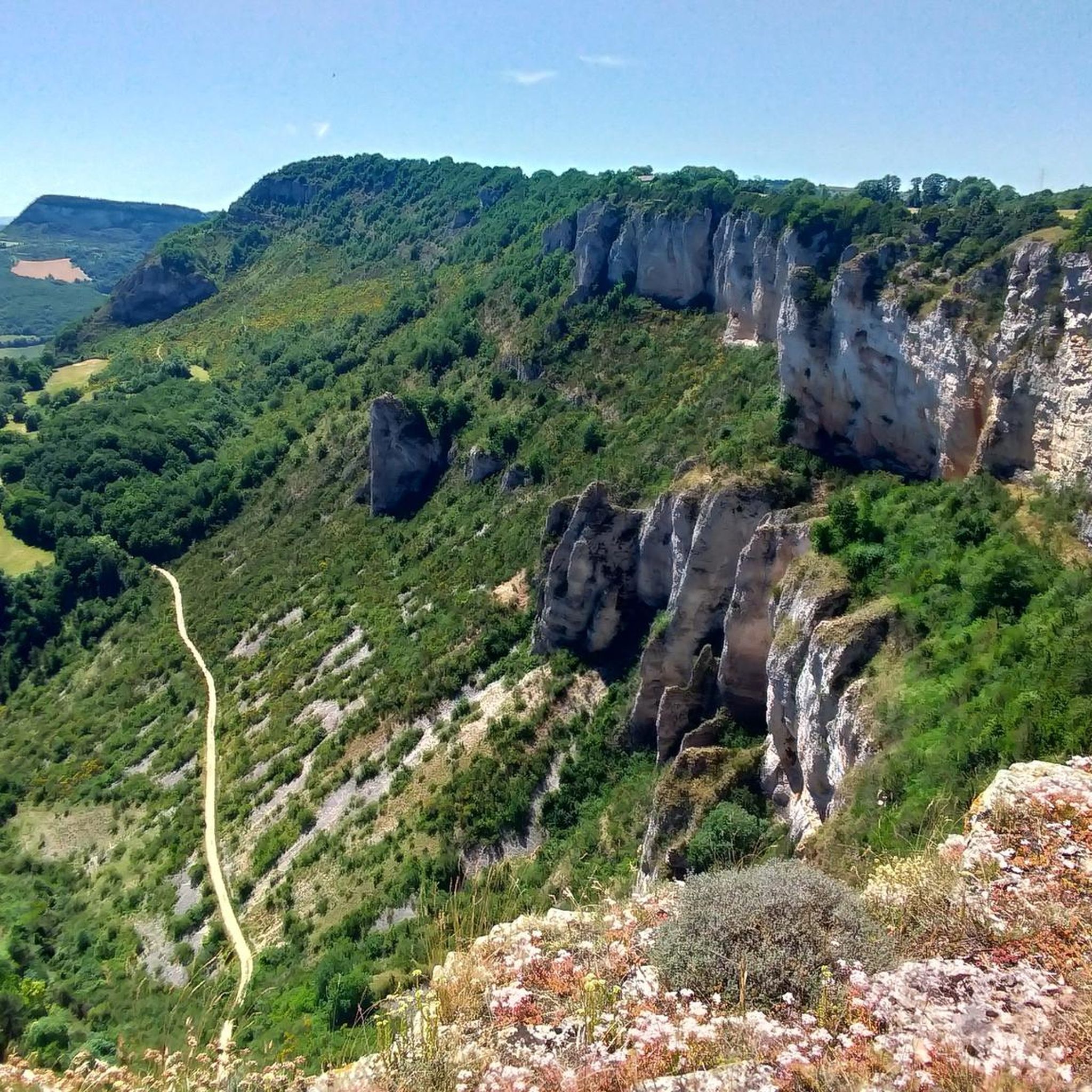
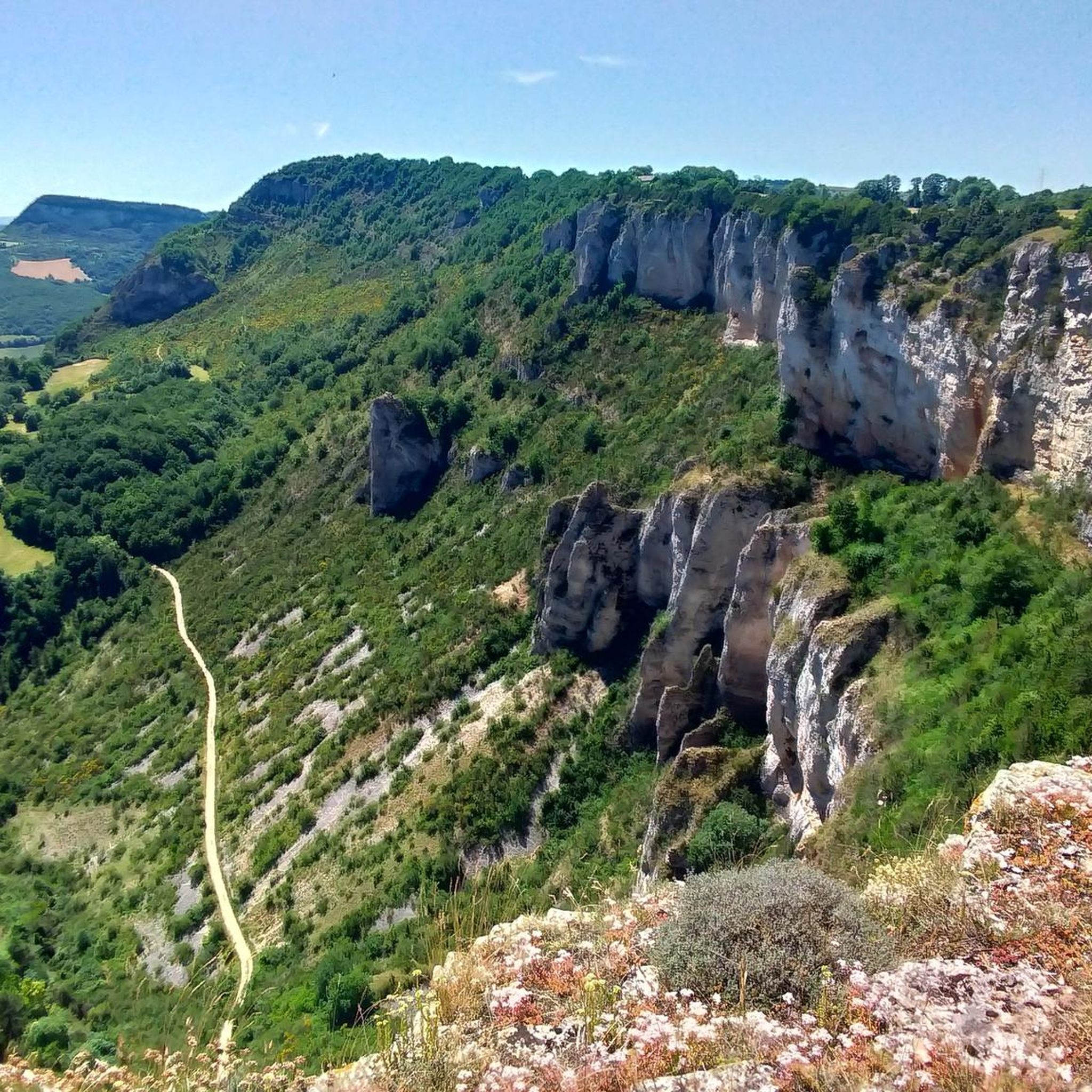
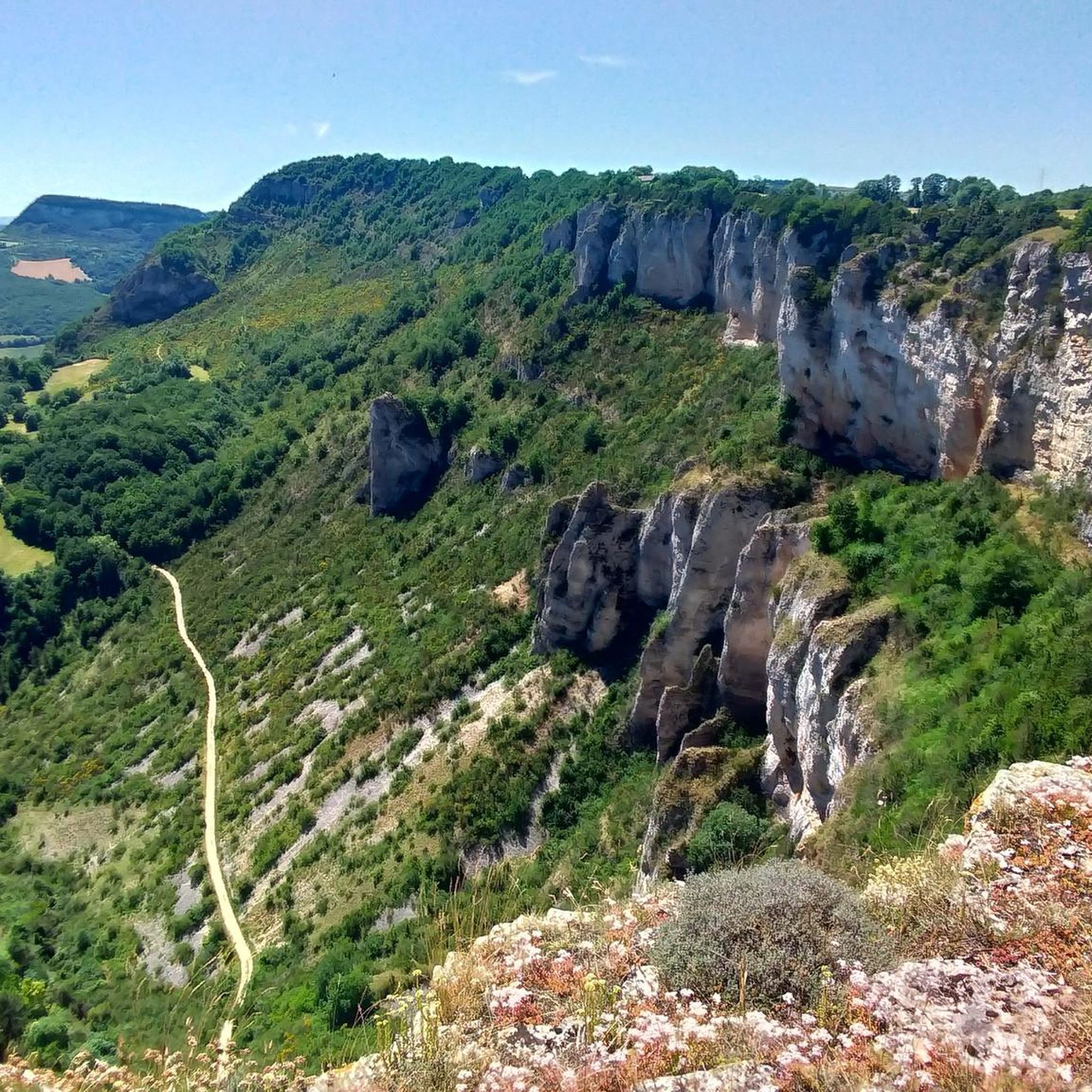
From the Larzac plateau, the Brunas site offers a vast panorama of the Millau valley. Stretched between the two banks of the Tarn, the viaduct with its seven concrete piers appears in its entirety. Behind it unfolds the entire causse Rouge, a large limestone plateau whose undulations dominate the valley. Then, the Puech d’Andan is distinguished by its wooded silhouette, cut in two by a clear central notch. Further to the right stands the Pouncho d'Agast, a pyramidal promontory marking the beginning of the causse Noir at an altitude of 841 m. Brunas is also a true site for free flight. The take-off area is located directly on the plateau; the site is mainly used with a north wind and allows paragliders to take off and then land in the vicinity of the same sector, with approximately 370 m of elevation difference down to the valley. The spectacle of the sails evolving in front of the viaduct adds a particular dimension to this panorama.
3
0
Isolated in the middle of the open landscapes of the Larzac, the fortified farm of Brouzes is a remarkable testimony to medieval rural architecture. The complex, whose construction began in 1491, is organized in a rectangle around three courtyards. It was later remodeled, notably in 1628, then in the 18th century. Behind its appearance as a large farm lies a true defensive architecture: the buildings are largely vaulted, a stable has loopholes, two towers reinforce the south side, and a dovecote tower as well as an old bread oven complete the complex. The farm nevertheless experienced a long period of abandonment. Uninhabited from 1922 to 1970, it was progressively looted and severely degraded. In the 1970s, an artist couple, Élisabeth and Claude Baillon, bought it and began its restoration. Their intervention largely contributed to saving the complex, which was finally classified as a historic monument in 1990.
3
0
Perché at an altitude of approximately 730 meters, the Cap de Coste viewpoint overlooks the eastern end of the Boundoulaou cirque. It reveals a vast panorama of the Millau basin and its surrounding massifs. To the left, the easily recognizable Millau Viaduct spans the Tarn valley, connecting the Larzac to the Causse Rouge. Further to the right stretches the latter: a large limestone plateau whose undulations dominate the valley. Then, the Puech d’Andan stands out with its wooded silhouette, cut in two by a clear central notch. Finally, further away, the Pouncho d’Agast, an emblematic relief of the Causse Noir, is easily recognized by its profile like a true limestone pyramid.
3
0
From this point at the foot of the structure, the regular succession of piers and guyed pylons can be particularly well distinguished. The deck, 2,460 m long, crosses the valley at a height of approximately 270 m above the Tarn. Pier P2, the tallest, culminates at 245 m, while the assembly formed by the pier and its pylon reaches 343 m: a height greater than that of the Eiffel Tower. This perspective also recalls the technical feat that the construction of the viaduct represented. The metal deck was assembled in sections from either side of the valley, then progressively launched across the void. The joining of the two parts was carried out on May 28, 2004, 268 m above the Tarn, before the official inauguration a few months later. An interesting detail can be discerned here: despite its exceptional dimensions, the structure appears remarkably light. This impression is not accidental. The viaduct was specifically designed to blend into the valley by limiting the visual impact of its structure, with a very slender deck and piers that branch out in a "Y" shape.
3
0
From the greenway, the Millau Viaduct is revealed from a particularly spectacular angle! One becomes aware of the extraordinary dimensions of the structure. Built between 2001 and 2004, the viaduct crosses the Tarn valley over 2,460 m and connects the Causse Rouge to the north with the Causse du Larzac to the south. Its metal deck, approximately 32 m wide, rests on seven concrete piers extended by seven cable-stayed pylons. At its highest point, the entire structure reaches 343 m above the ground; the deck is up to about 270 m above the Tarn. Designed by engineer Michel Virlogeux and British architect Sir Norman Foster, the viaduct combines a very slender metal structure with piers whose "Y" shape helps to visually lighten the whole. The deck was manufactured in metal elements and then gradually launched from both ends of the valley. The joining of the two parts was finally carried out on May 28, 2004, at 268 m above the Tarn.
3
0
Frequently Asked Questions
How many gravel bike trails are available in Viala-Du-Pas-De-Jaux?
There are 14 gravel bike trails around Viala-Du-Pas-De-Jaux listed on komoot. These routes primarily cater to experienced riders, with 10 difficult and 4 moderate options.
Are there any easy or family-friendly gravel bike routes in Viala-Du-Pas-De-Jaux?
The gravel biking routes in Viala-Du-Pas-De-Jaux are generally challenging, with 10 difficult and 4 moderate trails. There are no easy routes specifically designated for beginners or young families, so riders should be prepared for significant elevation changes and varied terrain.
What are the typical distances and elevations for gravel bike trails in this region?
Gravel bike trails in Viala-Du-Pas-De-Jaux vary significantly. For instance, the Brunas Viewpoint – Cap de Coste Viewpoint loop from La Cavalerie covers 100.8 km with over 1600 meters of elevation gain, while the Tiergues Dolmen – Saint-Affrique loop from Tournemire - Roquefort is 46.4 km with over 800 meters of ascent. Expect substantial climbs and descents across most routes.
Are there any circular gravel bike routes in Viala-Du-Pas-De-Jaux?
Yes, many of the gravel bike routes in the region are circular. Examples include the challenging Tour du Viala-du-Pas-de-Jaux – Sainte-Eulalie-de-Cernon loop from L'Hospitalet-du-Larzac, which offers an extensive long-distance experience, and the Brunas Viewpoint – Cap de Coste Viewpoint loop from La Cavalerie.
What kind of viewpoints can I expect along the gravel bike trails?
The region is known for its expansive plateaus and scenic vistas. Routes like the Brunas Viewpoint – Cap de Coste Viewpoint loop from La Cavalerie offer panoramic views. You can also find specific viewpoints such as the Panoramic trail highlight.
What is the best time of year for gravel biking in Viala-Du-Pas-De-Jaux?
The best time for gravel biking in Viala-Du-Pas-De-Jaux is typically from spring to autumn (April to October) when the weather is generally milder and more stable. Summers can be warm, while winters may bring colder temperatures and potentially challenging conditions on unpaved roads.
What historical sites or attractions can I see along the gravel bike routes?
Several routes connect historical landmarks and points of interest. You might encounter sites like the Sainte-Eulalie-de-Cernon Templar Commandery or the The Rock Engraved with Two Crosses. The Tiergues Dolmen – Saint-Affrique loop from Tournemire - Roquefort specifically passes by the Tiergues Dolmen.
Are there any hidden gem gravel bike trails or unique routes to explore?
While all routes offer unique regional characteristics, the Pont des anglais – Causses d’Hermilix loop from Saint-Rome-de-Cernon takes you through the Causses d’Hermilix, offering a distinct experience of the local landscape and its natural features.
What do other gravel bikers enjoy most about Viala-Du-Pas-De-Jaux?
The area is highly rated by the komoot community, with an average score of 4.5 stars from over 10 reviews. Riders often praise the expansive plateaus, challenging climbs, and the opportunity to connect with historical landmarks while exploring the varied terrain.
Is parking available at the trailheads for gravel biking routes?
While specific parking information for each trailhead is not detailed, routes typically start from villages or towns such as La Cavalerie, L'Hospitalet-du-Larzac, Tournemire - Roquefort, or Saint-Rome-de-Cernon, where public parking options are generally available. It's advisable to check local parking regulations before your ride.
Are there any gravel bike routes that include cafe stops or places to refuel?
Many routes pass through or near small villages and towns in the region, such as Sainte-Eulalie-de-Cernon or Saint-Affrique, which may offer opportunities for cafe stops or to purchase supplies. Planning your route with these towns in mind will help ensure you have places to refuel.
Most popular routes around Viala-Du-Pas-De-Jaux
Most popular attractions around Viala-Du-Pas-De-Jaux

Get inspired with the komoot mobile app


Explore more
Browse the best Gravel rides in other regions.
