The best gravel rides around Vitrolles
4.0
(6)
42
riders
7
rides
Gravel biking around Vitrolles offers access to diverse terrain in the heart of Provence. The region is characterized by limestone plateaus, such as the Plateau de l'Arbois, featuring garrigue, pine forests, and varied rock formations. Trails also extend around the Etang de Berre, one of Europe's largest saltwater lagoons, and near the Réaltor Reservoir, providing a mix of landscapes suitable for gravel bikes. The area includes hills and open spaces, with some routes offering panoramic views of the surrounding natural…
Last updated: October 6, 2026
4.0
(2)
14
riders
28.7km
02:14
540m
540m
Hard gravel ride. Very good fitness required. Mostly paved surfaces. Suitable for all skill levels.
4
riders
18.2km
01:16
250m
250m
Moderate gravel ride. Good fitness required. Mostly paved surfaces. Suitable for all skill levels.

4.0
(1)
11
riders
42.6km
03:20
1,140m
1,140m
Hard gravel ride. Very good fitness required. Mostly paved surfaces. Suitable for all skill levels.
4.0
(3)
9
riders
39.5km
03:23
1,100m
1,100m
Hard gravel ride. Very good fitness required. Mostly paved surfaces. Suitable for all skill levels.
4
riders
28.4km
02:33
740m
740m
Hard gravel ride. Very good fitness required. Mostly paved surfaces. Suitable for all skill levels.
Get access to more routes and recommendations from other explorers.
Already have an account?
Our route recommendations are based on thousands of hikes, rides, and runs completed by other people on komoot.
Start today with a free account
Your next adventure awaits.
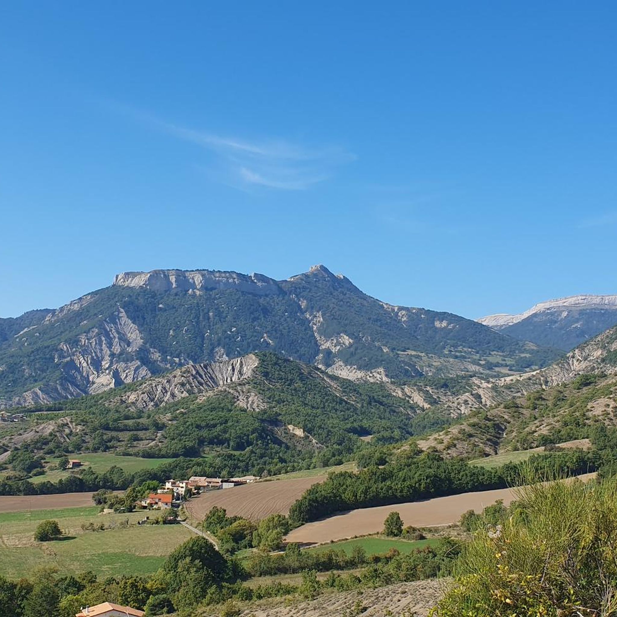
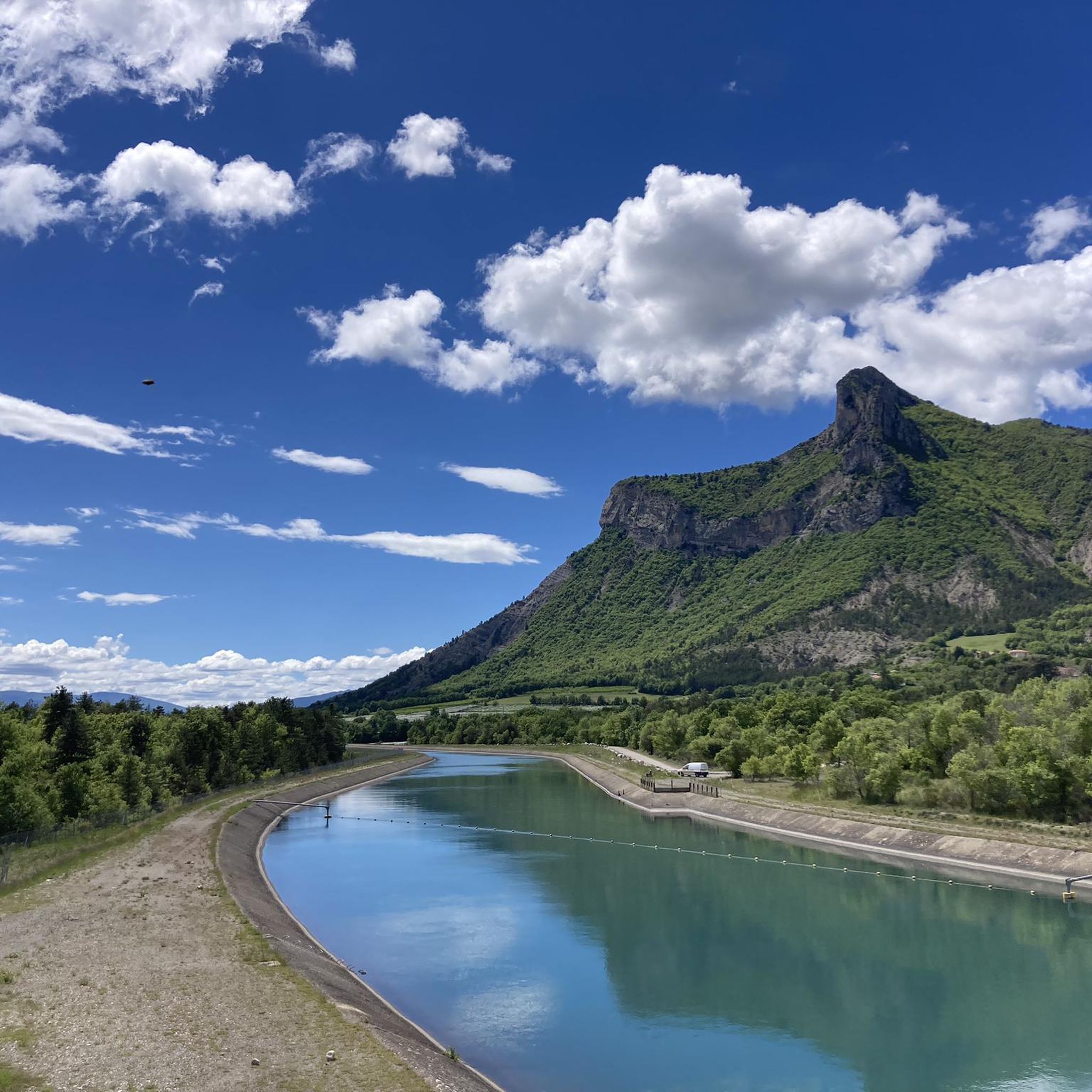
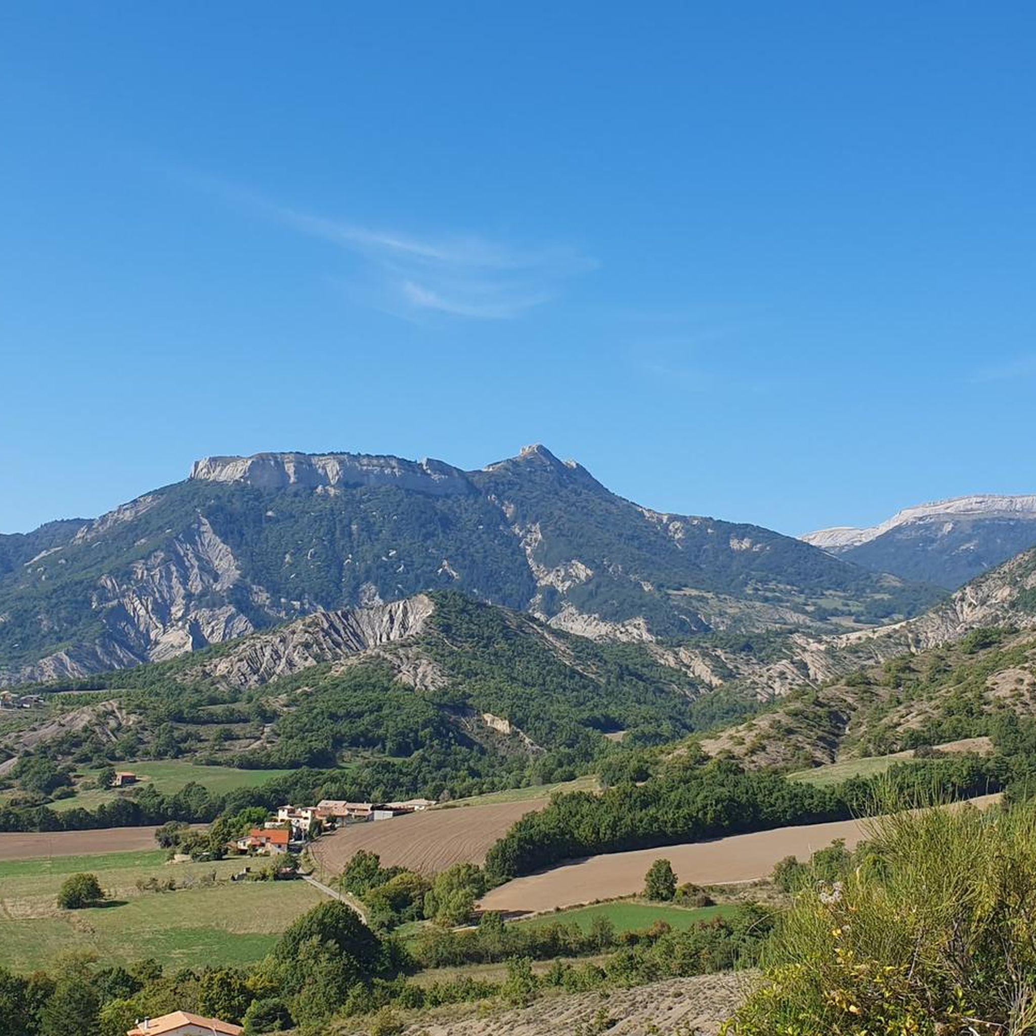
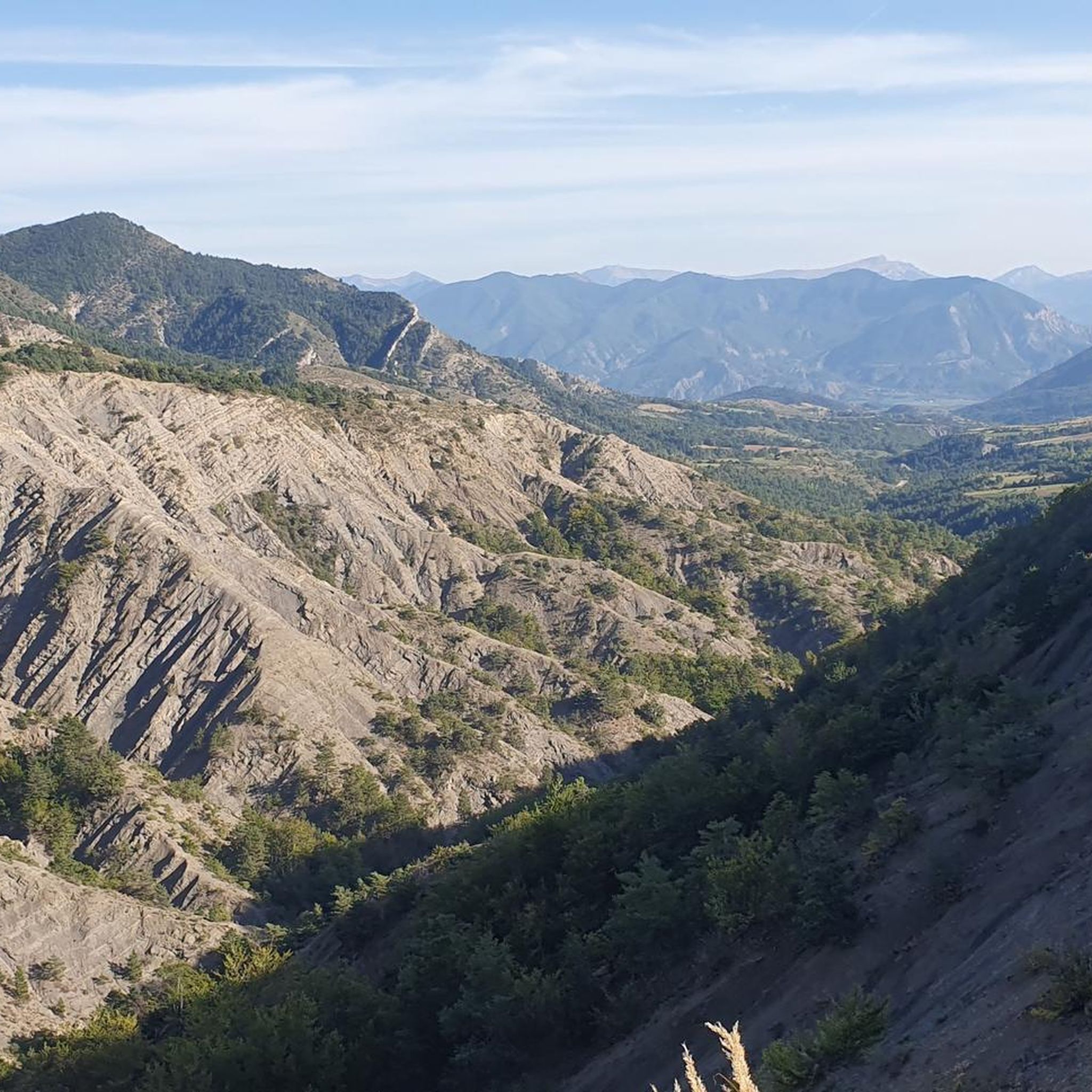
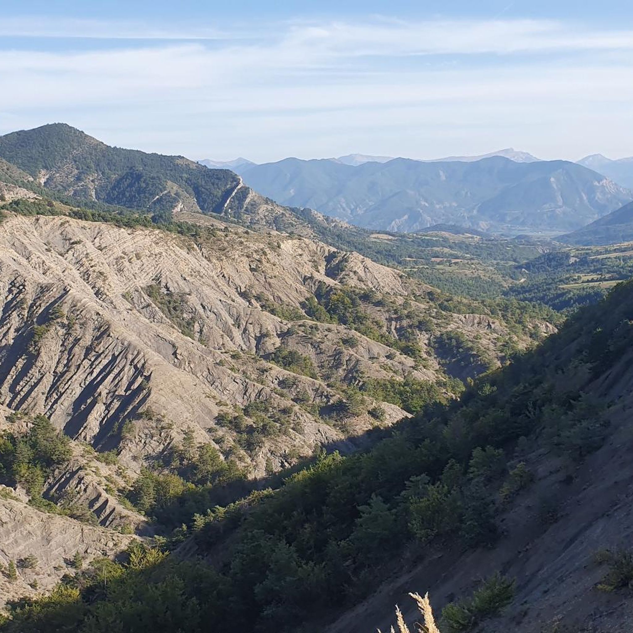
Tips from the Community

It is a very pleasant road for the road bike: it crosses a rural and mountainous landscape, with open views of the valleys and surrounding mountains.
8
0
The Tour de la Montagne d’Aujour is one of the most beautiful road bike routes in the Le Saix area, in the Hautes-Alpes. It is a scenic loop that circles the imposing Montagne d’Aujour (1,834 m), alternating regular climbs, small villages, and very quiet roads.
18
0
The Col de Verniers via Châteauneuf d'Oze is a climb located in the Hautes-Alpes region. This climb is 2.4 km long, with a total elevation gain of 124 m. The Col de Verniers via Châteauneuf d'Oze has an average gradient of 5.1%.
22
0
The Col d'Espreaux is a climb located in the Hautes-Alpes region. This climb is 12.2 km long, with a total elevation gain of 585 m. The Col d'Espreaux has an average gradient of 4.8%.
19
0
The water here is very good and fresh.
18
0
You can safely drink the water here.
13
0
Tallard is a French commune with 1,996 inhabitants located in the Hautes-Alpes department in the Provence-Alpes-Côte d'Azur region. 570-1,121 m above sea level.
16
0
The Col de Foureyssasse from La Saulce is a climb located in the Hautes-Alpes region. This climb is 7 km long, with a total elevation gain of 461 m. The Col de Foureyssasse from La Saulce has an average gradient of 6.6%.
12
0
Frequently Asked Questions
How many gravel bike trails are available in Vitrolles, and what are their difficulty levels?
There are 8 gravel bike routes around Vitrolles. The majority are classified as moderate to difficult, with 3 moderate routes and 5 difficult routes, offering a good challenge for experienced riders.
What kind of terrain can I expect on gravel bike trails around Vitrolles?
Gravel biking in Vitrolles offers diverse terrain. You'll encounter limestone plateaus like the Plateau de l'Arbois, featuring garrigue, pine forests, and varied rock formations, including some with a 'Colorado landscape' feel. Trails also extend around the Etang de Berre, a large saltwater lagoon, and near the Réaltor Reservoir, providing a mix of open spaces and reservoir-side paths.
Are there any notable landmarks or viewpoints along the gravel routes in Vitrolles?
Yes, several routes offer access to interesting features and panoramic views. From the Plateau de l'Arbois, you can enjoy spectacular views of the Etang de Berre and the Rognac cliffs. While not directly on a gravel route, the historic Tallard Castle is a prominent landmark near one of the routes, and the Espréaux Pass offers expansive mountain views on another challenging ride.
When is the best time of year to go gravel biking in Vitrolles?
The Provence region, including Vitrolles, generally enjoys a Mediterranean climate. Spring and autumn are ideal, offering pleasant temperatures and less intense sun than summer. Winter can also be suitable, though some higher elevation areas might be cooler. Summers can be very hot, so early morning or late afternoon rides are recommended if visiting during this season.
Are there any family-friendly gravel biking options in Vitrolles?
While many routes in Vitrolles are rated moderate to difficult, the area around the Réaltor Reservoir offers accessible natural settings with trails and tracks suitable for walking, mountain biking, or gravel bikes. These flatter, less technical paths could be a good starting point for families or those seeking an easier ride.
Can I bring my dog on the gravel bike trails in Vitrolles?
Many natural areas around Vitrolles, such as the Plateau de l'Arbois and the Réaltor Reservoir, are generally dog-friendly for walks and rides. However, it's always advisable to keep dogs on a leash, especially in areas with wildlife or livestock, and to check local regulations for specific trails or protected areas.
What do other gravel bikers enjoy the most about gravel biking in Vitrolles?
The area is highly rated by the komoot community, with an average score of 4.0 stars. Reviewers often praise the diverse terrain, from limestone plateaus to reservoir-side paths, and the challenging nature of the routes, which offer significant elevation gains and expansive views.
Are there any circular gravel bike routes available?
Yes, several routes are designed as loops, allowing you to start and finish in the same location. Examples include the Pelleautier Lake – Lake Pelleautier loop from Pelleautier and the Espréaux Pass – Guérins Pass loop from Sigoyer, both offering challenging circular rides.
What are the typical lengths and durations of gravel bike trails in Vitrolles?
The gravel trails around Vitrolles vary in length and duration. For instance, the Tallard Castle – Le Rousine Riverbank loop from Lotissement Le Pré du Château is about 11.4 miles (18.4 km) and takes around 1 hour 32 minutes, while the Pic de Crigne – EDF Canal Cycle Path loop from Fouillouse covers 33.3 km and typically takes around 2 hours 24 minutes.
Are there options for easier gravel rides for beginners?
While many routes are moderate to difficult, the area around the Réaltor Reservoir provides more accessible tracks suitable for gravel bikes, which could be a good option for beginners or those looking for a less strenuous ride. These paths are generally flatter and less technical than the mountain pass routes.
What natural features can I explore while gravel biking in the Vitrolles area?
You can explore the unique landscapes of the Plateau de l'Arbois, known for its limestone formations, garrigue, and pine forests, offering panoramic views. The shores of the Etang de Berre, one of Europe's largest saltwater lagoons, are also accessible, providing opportunities for birdwatching. Additionally, the Réaltor Reservoir features trails and tracks amidst diverse birdlife.
Most popular attractions around Vitrolles

Get inspired with the komoot mobile app


Explore more
Browse the best Gravel rides in other regions.
