The best gravel rides around Griesbach-Au-Val
4.5
(60)
380
riders
50
rides
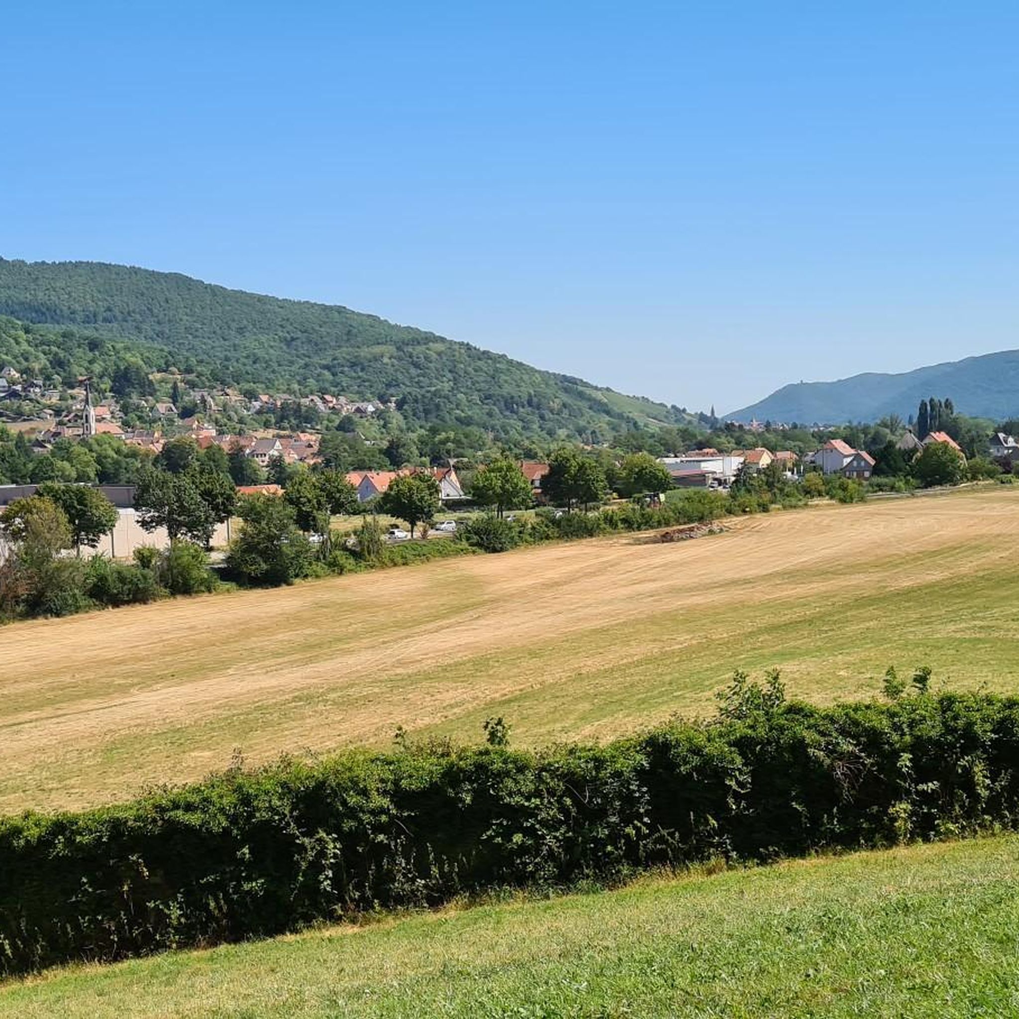
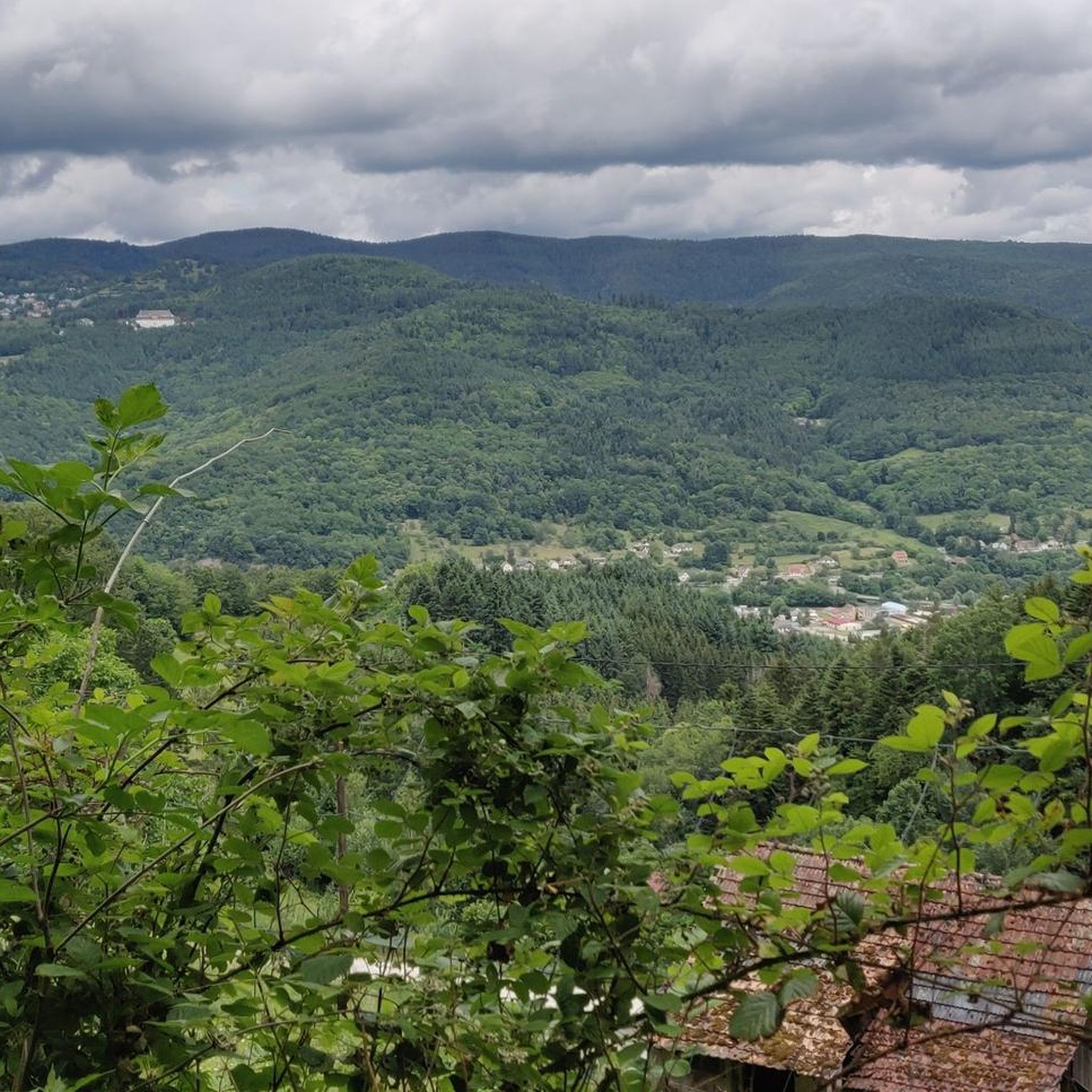
Gravel biking around Griesbach-Au-Val offers a diverse landscape for riders, characterized by its position at the foot of the Vosges mountains. The region features varied terrain, including significant elevation changes and extensive forested areas, particularly within the Munster Valley. Trails often traverse through valleys and ascend towards higher points, providing a mix of gradients suitable for gravel bikes. A network of paths connects villages and natural features, utilizing forest paths and dedicated cycle routes.
Best gravel bike trails around Griesbach-Au-Val
…Last updated: October 6, 2026
4.3
(12)
105
riders
46.3km
02:48
480m
480m
Hard gravel ride. Very good fitness required. Mostly paved surfaces. Suitable for all skill levels.
3.0
(1)
39
riders
59.5km
04:26
1,360m
1,360m
Hard gravel ride. Very good fitness required. Mostly paved surfaces. Suitable for all skill levels.

4.3
(3)
9
riders
33.2km
02:47
940m
940m
Hard gravel ride. Very good fitness required. Mostly paved surfaces. Suitable for all skill levels.
4.4
(5)
21
riders
41.2km
02:57
880m
880m
Hard gravel ride. Very good fitness required. Mostly paved surfaces. Suitable for all skill levels.
3
riders
23.0km
02:27
710m
710m
Hard gravel ride. Very good fitness required. Mostly paved surfaces. Suitable for all skill levels.
Get access to more routes and recommendations from other explorers.
Already have an account?
Our route recommendations are based on thousands of hikes, rides, and runs completed by other people on komoot.
Start today with a free account
Your next adventure awaits.

Tips from the Community

The Route des Crêtes (from the D430 near Rothenbach) is one of the most beautiful ridge roads in Europe. The road was originally built in 1914 by the French army to supply the troops at the front during World War I. Today, it is an iconic panoramic route that connects the main peaks of the Vosges.
1
0
This view is even more beautiful if you have climbed via the Col de Bramont to the col du Rodenbach. So recognizable.
6
0
The Route des Crêtes (the D430 near Rothenbach) is one of the most beautiful ridge routes in Europe. The road was originally built in 1914 by the French army to supply troops at the front in World War I. Today, it is an iconic panoramic route that connects the main peaks of the Vosges.
6
0
The highlight is on the Route des Crêtes and concerns the Rothenbach pass at 1210m. The kopf is still 100 m higher (1316 m). The Rothenbach pass is located on an open mountain saddle in the High Vosges, just below the Rothenbachkopf (1316 m). The pass is around 1210 meters high and forms a natural transition between the ridges of the Rainkopf and the Batteriekopf. The landscape consists of wide, treeless mountain meadows (chaumes) created by centuries of grazing and the harsh climate at this altitude. From the pass, you have a panoramic view of the Mittlach valley, the Hohneck, and the long ridges of the Ballons massif. Very beautiful pass with those bare expanses.
6
0
The Col du Rothenbach is a 5-kilometer climb. This is a category 2 climb. The average gradient of this climb is 6.6% with a maximum of 9%. The Col du Rothenbach rises from 903 meters at the start to 1,234 meters at the top, with a total of 331 meters of elevation gain.
7
0
The Col du Rothenbach is a 1205-meter-high mountain pass in the High Vosges. The pass is located directly on the famous, panoramic Route des Crêtes (D430) and lies within the territory of the municipality of Wildenstein. The pass is situated in the heart of the Hautes Chaumes du Rothenbach protected nature reserve, known for its characteristic high-altitude meadows (chaumes) and subalpine flora. For cyclists, the col is mainly known as a link station or a rolling intermediate section (approx. 5 kilometers of climbing depending on the approach) on the ridge route between Le Markstein and the Col de la Schlucht.
7
0

The ascent to the Col du Firstplan from Soultzbach-les-Bains is steady. The road surface is good and occasionally a tuned car whizzes past. There are few lay-bys on the roadside for a short stop, but at the top of the Col there is a picnic area.
0
0
Cycle path runs up and down mostly in the shade next to the villages. Good access for the ascents of Col du Firstplan and Col du Petit Ballon.
1
0
Frequently Asked Questions
What is the general difficulty level of gravel biking in Griesbach-Au-Val?
Gravel biking in Griesbach-Au-Val offers a range of challenges. While there is one easy route, the majority of the trails are moderate to difficult, with 41 out of 52 routes classified as difficult. Riders should expect significant elevation changes and forested sections, providing a rewarding experience for those seeking a challenge.
What are the typical lengths of gravel bike trails in the Griesbach-Au-Val area?
The gravel bike trails around Griesbach-Au-Val vary in length. You'll find routes ranging from around 15 to over 60 kilometers. For example, the Col de la Schlucht – La route des crêtes loop from Gunsbach is approximately 60.6 km, while the Luttenbach near Munster – Metzeral Town Hall loop from Munster is about 26 km.
Are there family-friendly gravel bike trails suitable for beginners in Griesbach-Au-Val?
While the region is known for its challenging terrain, there is one easy gravel route available. Most trails lean towards moderate to difficult, so beginners or families with younger riders should carefully review individual tour details for elevation and distance before setting out. The Munster Protestant Church – Munster loop from Munster is a moderate option that might be suitable for those with some experience.
What kind of terrain can I expect on gravel bike routes in Griesbach-Au-Val?
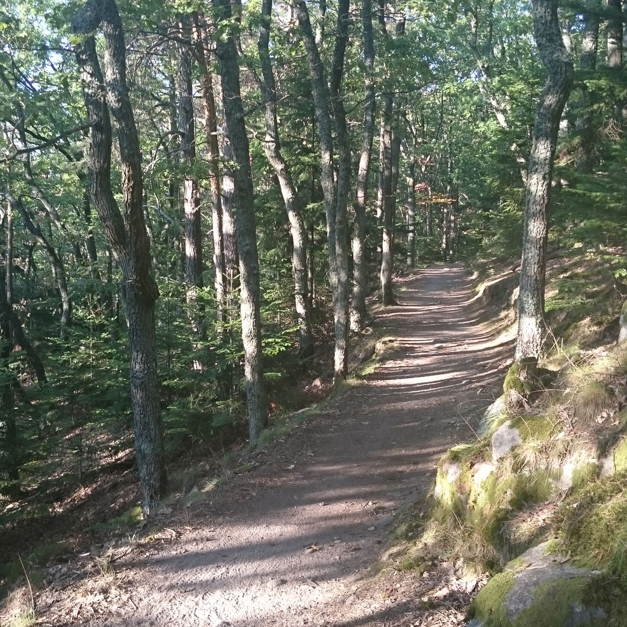
Gravel biking in Griesbach-Au-Val is characterized by diverse terrain. You'll encounter challenging ascents and descents, often through dense forested areas, and routes that traverse scenic valleys. The region's landscape provides a mix of gradients and surfaces, making for an engaging ride.
Are there any circular gravel bike routes in Griesbach-Au-Val?
Yes, many of the gravel bike routes in Griesbach-Au-Val are designed as loops. This allows you to start and finish in the same location, often in charming villages. Examples include the challenging Pinot Bend – Sondernach to Petit Ballon loop from Gunsbach and the Pinot Bend – Boenlesgrab Pass loop from Munster Badischhof.
What do other gravel bikers enjoy the most about gravel biking in Griesbach-Au-Val?
The area is highly rated by the komoot community, with an average score of 4.4 stars from over 60 reviews. Riders often praise the challenging ascents, the beauty of the forested sections, and the varied terrain that makes each ride unique. The network of paths connecting villages and natural features is also a highlight for many.
What are some notable landmarks or attractions I can see near the gravel bike trails?
The region around Griesbach-Au-Val offers several interesting sights. You can explore the charming Eguisheim Village, discover historical sites like The Three Castles of Eguisheim, or enjoy natural beauty at Green Lake. Many routes also offer views of the Petit Ballon summit.
Are there any castles or historical sites accessible by gravel bike in the area?
Yes, the region is rich in history and features several castles. You can find routes that pass near or offer views of impressive structures like The Three Castles of Eguisheim, Hohlandsbourg Castle, and Hagueneck Castle. These provide excellent points of interest during your ride.
How many gravel bike trails are available in Griesbach-Au-Val?
There are over 50 gravel bike trails available in Griesbach-Au-Val, offering a wide variety of options for different skill levels and preferences. This extensive network ensures plenty of opportunities to explore the region's diverse landscape.
Are there any routes that offer views of lakes or natural water features?
Yes, some routes in the Griesbach-Au-Val area will bring you close to natural water features. For instance, the Green Lake is a notable highlight in the vicinity, offering a picturesque stop during your gravel biking adventure.
What is the best time of year for gravel biking in Griesbach-Au-Val?
While the guide doesn't specify a single 'best' time, the varied terrain and forested sections suggest that spring and autumn would offer pleasant temperatures and beautiful scenery. Summers can be warm, and winters might present challenges with snow or ice, especially at higher elevations.
Most popular routes around Griesbach-Au-Val
Most popular attractions around Griesbach-Au-Val

Get inspired with the komoot mobile app


Explore more
Browse the best Gravel rides in other regions.
