The best gravel rides around Cherrueix
4.6
(43)
374
riders
19
rides
Gravel biking around Cherrueix offers routes across varied terrain, characterized by coastal paths, riverine landscapes, and views of Mont Saint-Michel. The region features generally flat to gently rolling elevations, with some routes incorporating new cycle paths. This area provides a mix of open stretches and scenic viewpoints, suitable for different gravel biking preferences. The landscape includes historic dikes like the Digue de la Duchesse-Anne and the unique polder areas, offering unpaved surfaces for exploration.
Best gravel bike trails around Cherrueix
…Last updated: October 6, 2026
4.5
(26)
162
riders
Easy gravel ride. Great for any fitness level. Mostly paved surfaces. Suitable for all skill levels.
5.0
(1)
51
riders
106km
05:22
330m
330m
Hard gravel ride. Very good fitness required. You may need to push your bike for some segments of this route.

35
riders
Moderate gravel ride. Good fitness required. Mostly paved surfaces. Suitable for all skill levels.
4.2
(6)
35
riders
72.9km
03:45
220m
220m
Moderate gravel ride. Good fitness required. Mostly paved surfaces. Suitable for all skill levels.
4.7
(3)
13
riders
41.2km
02:29
40m
40m
Moderate gravel ride. Good fitness required. Mostly paved surfaces. Suitable for all skill levels.
Get access to more routes and recommendations from other explorers.
Already have an account?
Our route recommendations are based on thousands of hikes, rides, and runs completed by other people on komoot.
Start today with a free account
Your next adventure awaits.
Tips from the Community

Absolument sublime !!!
1
0

Unfortunately, the chapel was closed, a look through a recess in the door. And again and again the view of Mont-Saint-Michel
0
0

Mont-Saint-Michel is a world-famous rocky island and commune on the border between Normandy and Brittany in France. Crowned by a monumental, medieval Benedictine abbey, this architectural marvel has been a UNESCO World Heritage site since 1979. The bay of the mount is also known for Europe's strongest tides, with a tidal range of up to 14 meters.
2
0

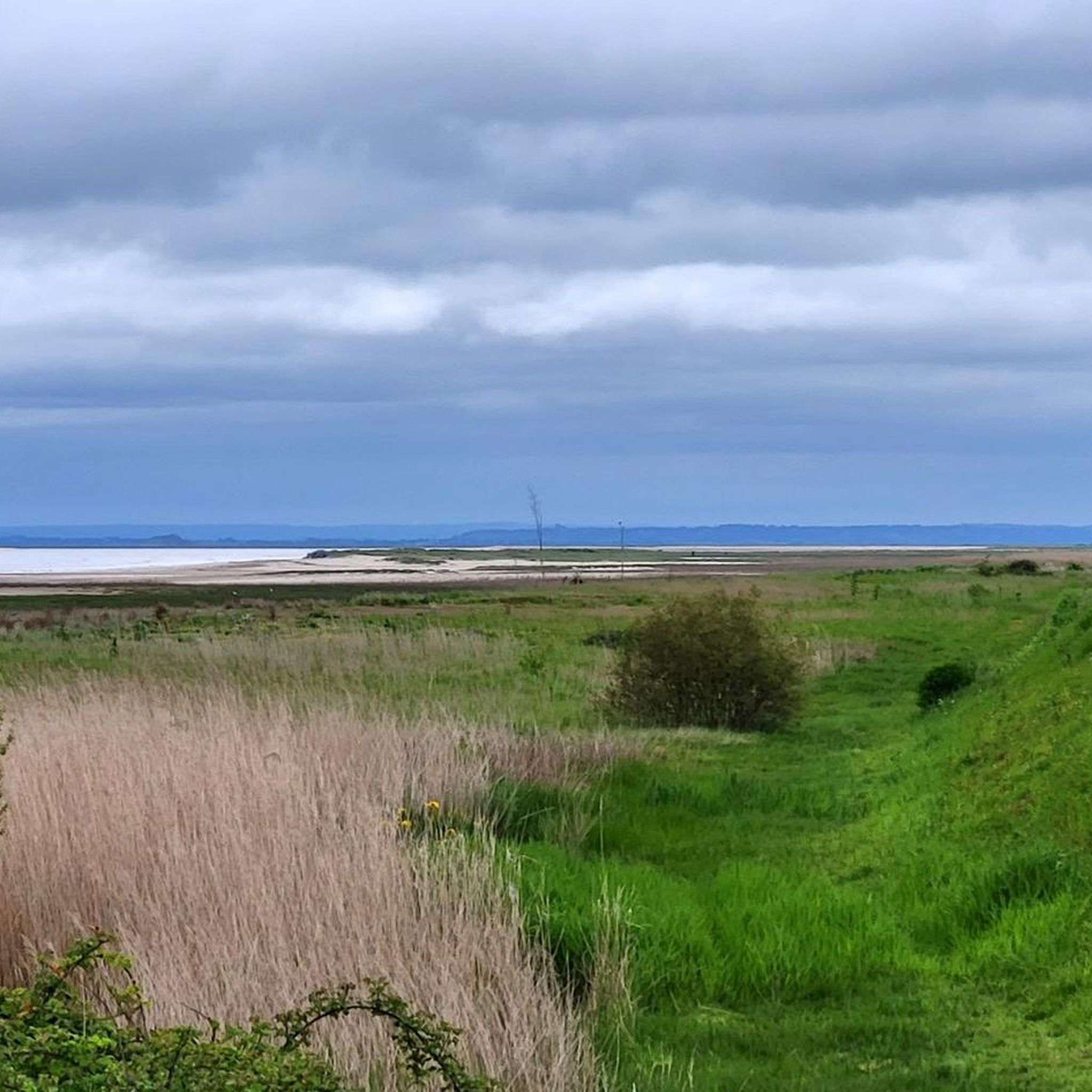
The footpath along the Couesnon to the dam already offers an impressive view of Mont-Saint-Michel. From here, the path with an unobstructed view leads across the salt marshes and the bay, with the landmark of Normandy impressively rising against the wide landscape. Especially in calm weather and with changing light, atmospheric views emerge of Mont-Saint-Michel, the course of the Couesnon river, and the tide-shaped surroundings.
13
0
The Couesnon dam (Barrage du Couesnon) was completed in 2009 and is part of the measures to preserve the bay of Mont-Saint-Michel. The facility regulates the water flow of the Couesnon and supports the natural removal of sediments by the tides. This is intended to counteract the increasing silting up of the bay and preserve the special character of Mont-Saint-Michel as a tidal island. The dam also offers a popular viewpoint with a view of Mont-Saint-Michel and the surrounding salt marshes.
3
0
The city's development was primarily shaped by fishing, seafaring, and oyster farming. As early as the Middle Ages, oysters from Cancale were known beyond the region and later became an important economic sector. The port of La Houle developed into the center of maritime life. Today, Cancale, with its coastal landscape, port facilities, and vibrant oyster tradition, recalls its long history as a fishing and port town.
14
0
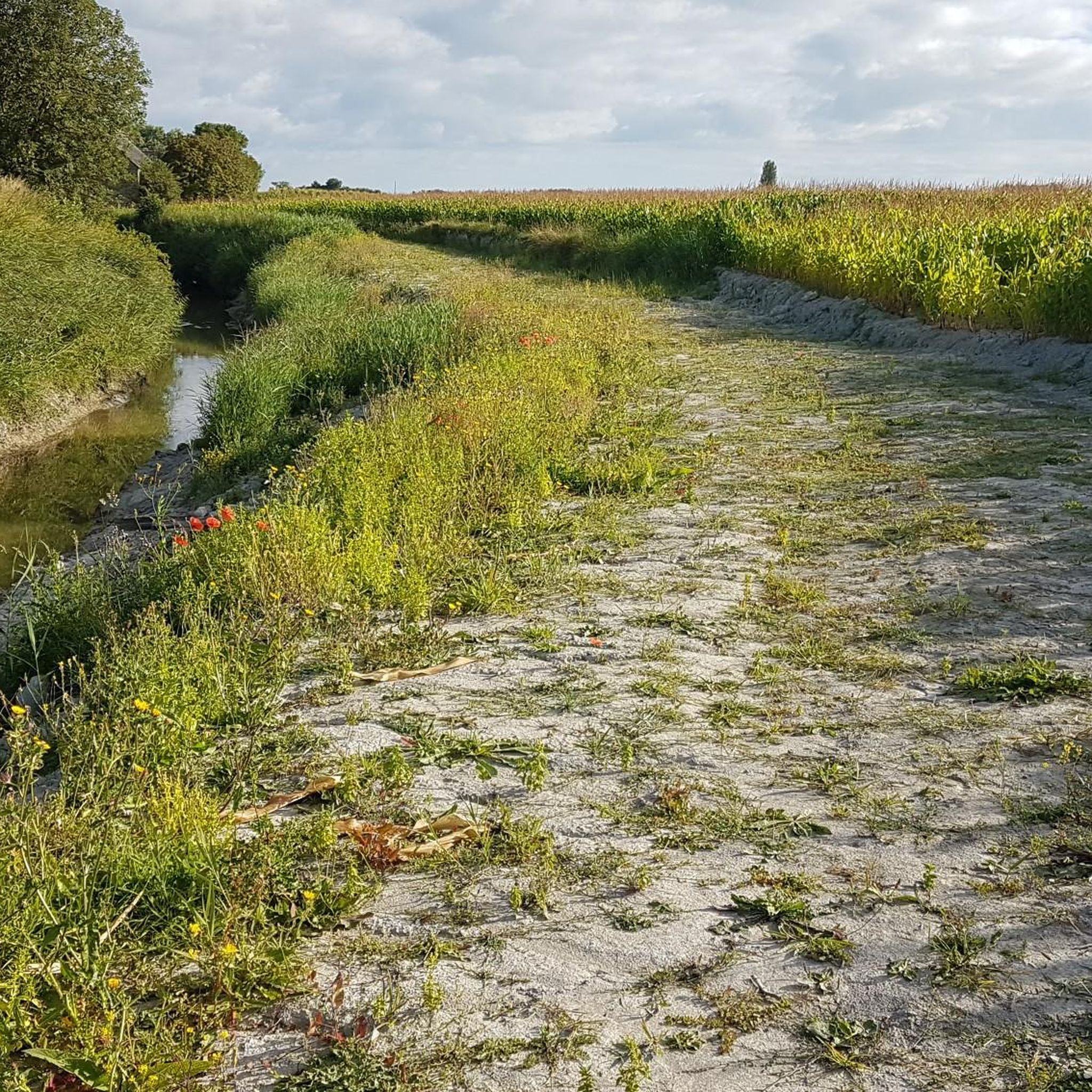
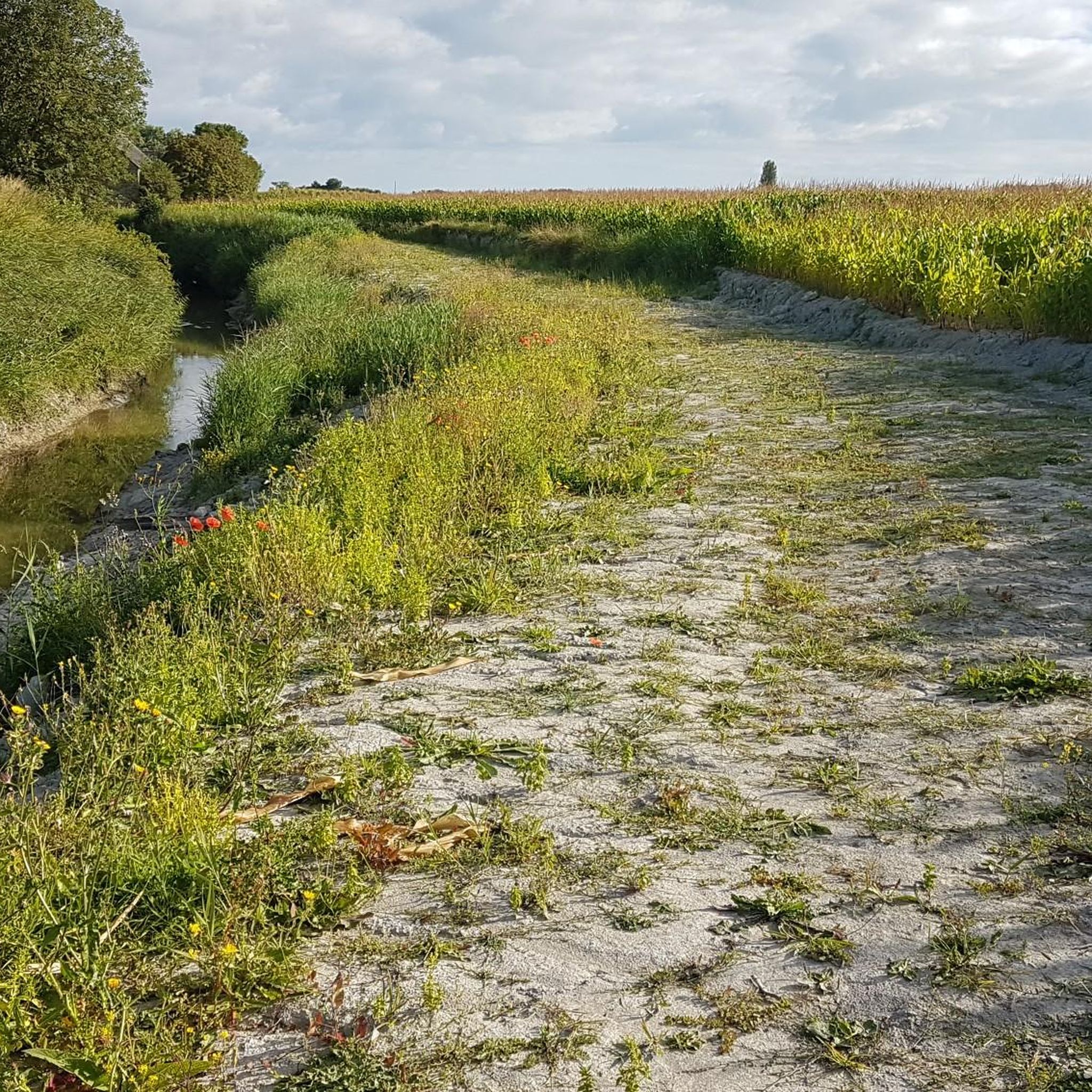
Numerous inlets criss-cross the meadows and channel seawater through the vast terrain at low and high tide. These small watercourses with their reflections and the wide grassy areas also form a popular photo spot and offer impressive motifs, especially with Mont-Saint-Michel in the background.
1
0
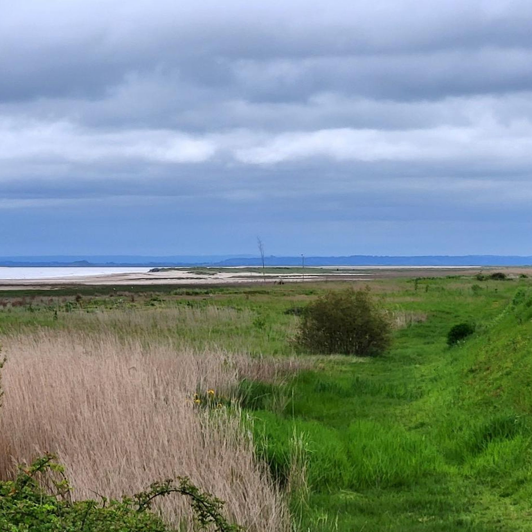
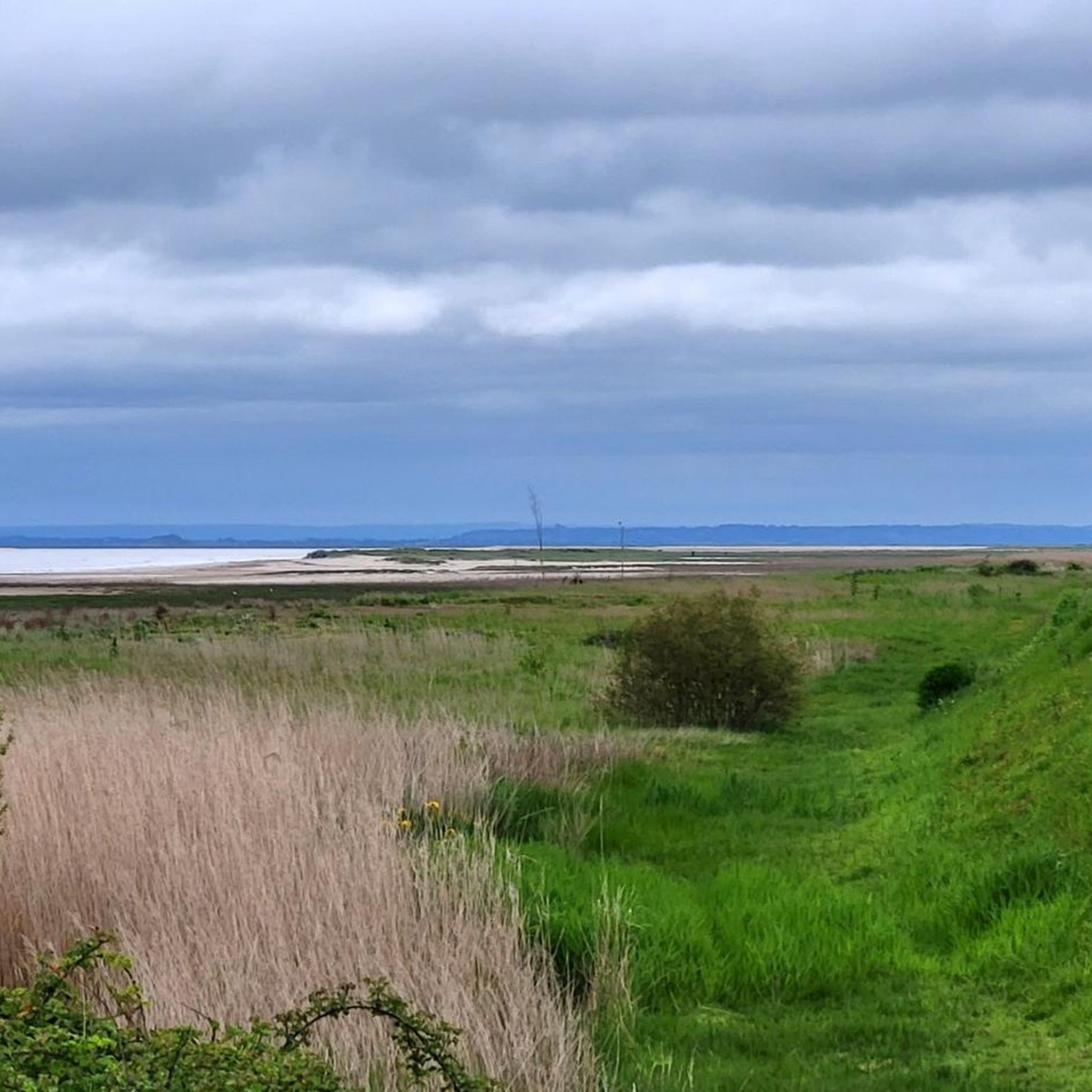
The salt marshes of the Bay of Mont-Saint-Michel shape the unique landscape of Normandy. Regular flooding with seawater creates a special vegetation that is perfectly adapted to the saline conditions. The famous salt marsh sheep (*Prés-salés*), whose meat acquires a special flavor due to their special diet, graze in these meadows. The vast areas are also a valuable habitat for numerous animal and plant species and offer an impressive view of Mont-Saint-Michel at low tide.
1
0
Frequently Asked Questions
How many gravel bike trails are available around Cherrueix?
There are around 30 gravel bike routes in the Cherrueix area. This includes 10 easy, 13 moderate, and 6 difficult trails, offering options for various skill levels.
Are there any easy or beginner-friendly gravel bike trails in Cherrueix?
Yes, Cherrueix offers 10 easy gravel bike routes suitable for beginners. These trails typically feature flat to gently rolling terrain, often along coastal paths or river routes, providing a pleasant introduction to gravel biking in the region.
What are some longer gravel routes near Cherrueix?
For longer rides, consider routes like the Beautiful new cycle path – View of Mont Saint-Michel loop from Dol-de-Bretagne, which is 56.1 miles (90.3 km) long. Another option is the View of Cancale and Its Harbor – Cancale loop from Saint-Broladre, covering 48.2 miles (77.6 km) with coastal views.
What kind of views or landmarks can I expect to see on gravel bike trails around Cherrueix?
Many routes offer stunning views of Mont Saint-Michel, coastal scenery, and riverine landscapes along the Couesnon. You might also pass by historical sites such as the Moulin de la Saline or the Chapelle Sainte-Anne-de-la-Grève. The Cancale Oyster Farms are also a notable sight on some coastal routes.
Are there any gravel bike trails that are loop routes around Cherrueix?
Yes, many of the gravel bike trails in the area are designed as loops. For instance, the popular Chapelle Sainte-Anne – The Couesnon at Beauvoir loop from Cherrueix is a 26.4-mile (42.5 km) circular route. Another option is the Chapelle Sainte-Anne – Moulin de la Saline loop from Réserve de la Chapelle Sainte-Anne, which is 48.9 km.
What is the best season for gravel biking in Cherrueix?
The Cherrueix region, with its coastal and riverine paths, is generally pleasant for gravel biking from spring through autumn. Summers offer warmer weather, while spring and autumn provide milder temperatures and often fewer crowds. Always check local weather conditions before heading out, especially for coastal winds.
What do other gravel bikers enjoy most about the trails in Cherrueix?
The komoot community highly rates the gravel biking experience in Cherrueix, with an average score of 4.4 stars from over 30 reviews. Riders often praise the diverse terrain, including coastal paths and new cycle routes, as well as the scenic views, particularly those of Mont Saint-Michel.
Are there any advanced or difficult gravel routes for experienced riders?
Yes, there are 6 difficult gravel routes available for more experienced riders. One challenging option is the Beautiful new cycle path – View of Mont Saint-Michel loop from Dol-de-Bretagne, which covers 56.1 miles (90.3 km) and features more demanding sections.
How long does it typically take to complete a gravel bike trail in Cherrueix?
The duration varies significantly by route and your pace. For example, a moderate trail like the Chapelle Sainte-Anne – The Couesnon at Beauvoir loop from Cherrueix (42.5 km) typically takes around 2 hours and 33 minutes. Longer routes, such as the 90.3 km Beautiful new cycle path – View of Mont Saint-Michel loop from Dol-de-Bretagne, can take over 5 hours.
Are there any family-friendly gravel cycling options in Cherrueix?
Many of the 10 easy routes around Cherrueix are suitable for families, especially those with gently rolling terrain and dedicated cycle paths. These routes often follow scenic coastal or river paths, providing a safe and enjoyable experience for all ages. Look for routes with lower elevation gains and shorter distances.
What are the typical weather conditions for gravel biking in Cherrueix?
Cherrueix experiences a maritime climate, meaning mild temperatures and a chance of rain throughout the year. Coastal routes can be exposed to winds. It's advisable to check the local forecast before your ride and be prepared for changing conditions, especially if riding near the coast.
Are there any viewpoints or scenic spots along the gravel trails?
Absolutely. The region is known for its picturesque views. Many trails offer panoramic vistas of Mont Saint-Michel, especially those closer to the bay. Coastal routes provide expansive views of the sea and the unique oyster farms. Riverine paths along the Couesnon also offer tranquil scenery.
What should I bring for gravel biking in Cherrueix?
Given the varied terrain and potential for coastal exposure, it's recommended to bring appropriate layers of clothing, a windbreaker, and rain gear. Always carry sufficient water, snacks, a repair kit, and a fully charged phone. Sun protection is also advisable, especially on open coastal stretches.
Most popular attractions around Cherrueix

Get inspired with the komoot mobile app


Explore more
Browse the best Gravel rides in other regions.
