The best gravel rides around Saint-Benoît-Des-Ondes
4.6
(75)
695
riders
30
rides
Gravel biking around Saint-Benoît-Des-Ondes offers diverse terrain, from coastal paths along the Bay of Mont-Saint-Michel to the flat, canal-laced landscapes of the Marais de Dol. The region features a mix of open marshlands, scenic coastal routes with views of Mont Saint-Michel, and areas with gentle elevation changes. Gravel bike trails here traverse varied surfaces, including compacted dirt, gravel tracks, and quiet country roads, providing a range of experiences for cyclists.
Best gravel bike trails around Saint-Benoît-Des-Ondes
- The most popular gravel…
Last updated: October 6, 2026
4.7
(30)
315
riders
Moderate gravel ride. Good fitness required. Mostly paved surfaces. Suitable for all skill levels.
5.0
(1)
51
riders
106km
05:22
330m
330m
Hard gravel ride. Very good fitness required. You may need to push your bike for some segments of this route.

4.3
(7)
32
riders
Hard gravel ride. Good fitness required. You may need to push your bike for some segments of this route.
5.0
(1)
12
riders
27.4km
01:33
140m
140m
Easy gravel ride. Great for any fitness level. Mostly paved surfaces. Suitable for all skill levels.
5.0
(1)
10
riders
Easy gravel ride. Great for any fitness level. Mostly paved surfaces. Suitable for all skill levels.
Get access to more routes and recommendations from other explorers.
Already have an account?
Our route recommendations are based on thousands of hikes, rides, and runs completed by other people on komoot.
Start today with a free account
Your next adventure awaits.
Popular around Saint-Benoît-Des-Ondes

Other adventures around Saint-Benoît-Des-Ondes

Tips from the Community

Absolument sublime !!!
1
0

Mont-Saint-Michel is a world-famous rocky island and commune on the border between Normandy and Brittany in France. Crowned by a monumental, medieval Benedictine abbey, this architectural marvel has been a UNESCO World Heritage site since 1979. The bay of the mount is also known for Europe's strongest tides, with a tidal range of up to 14 meters.
2
0

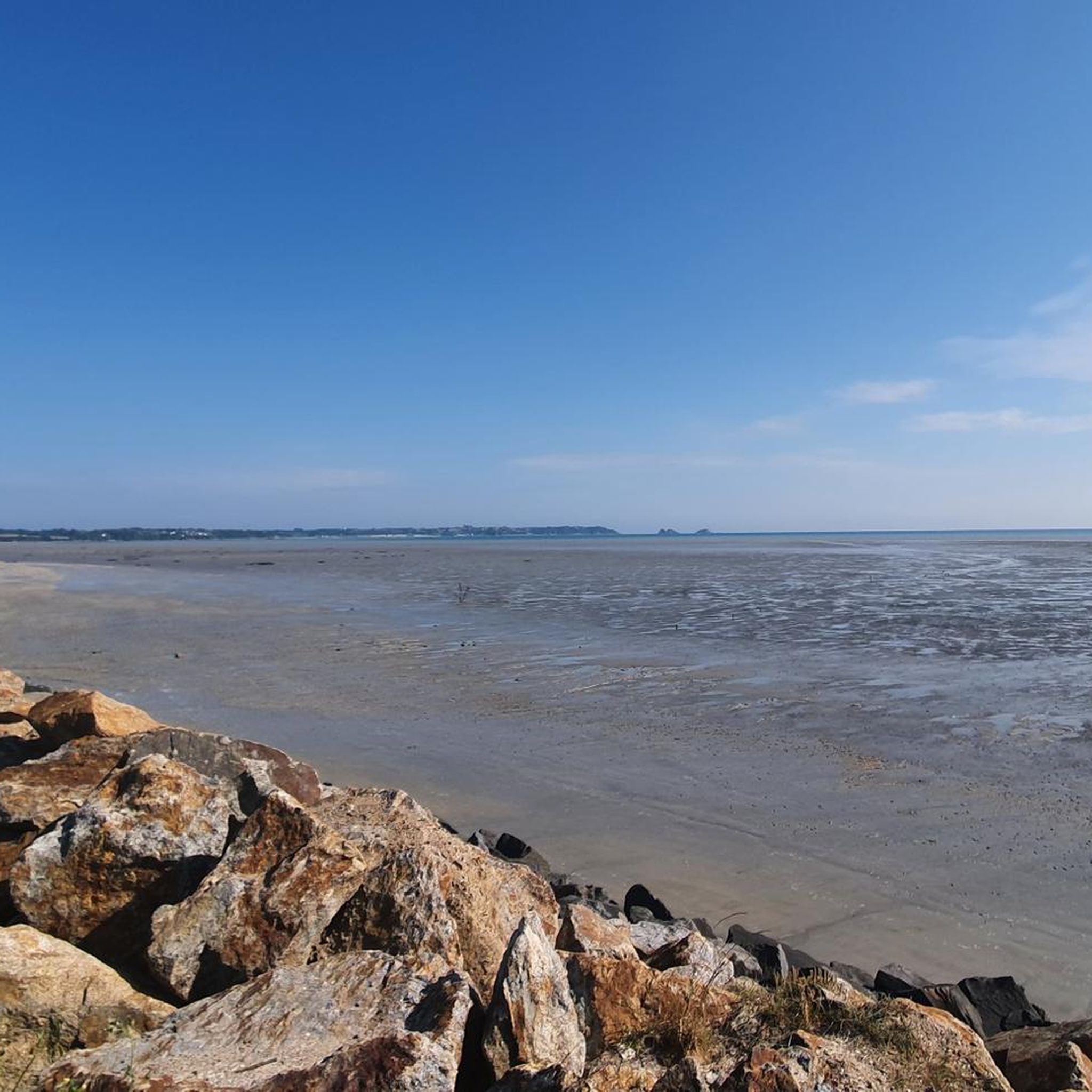
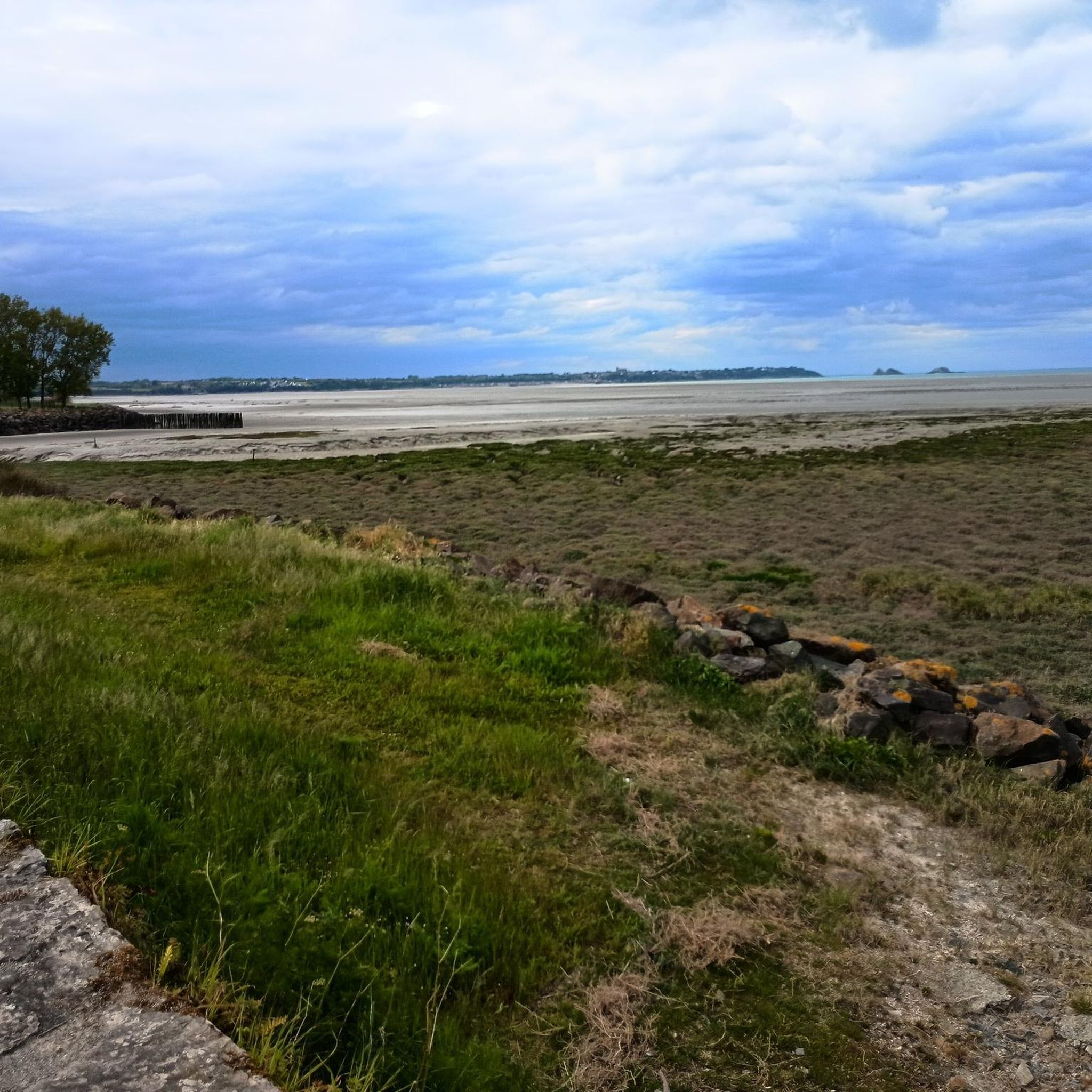
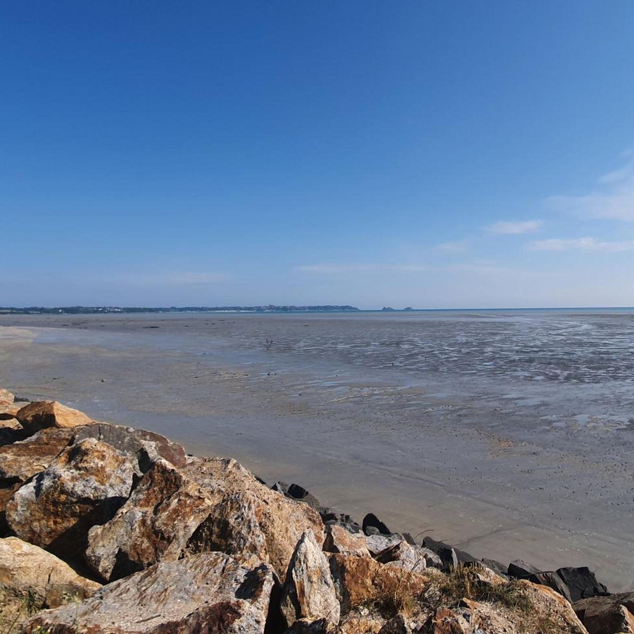
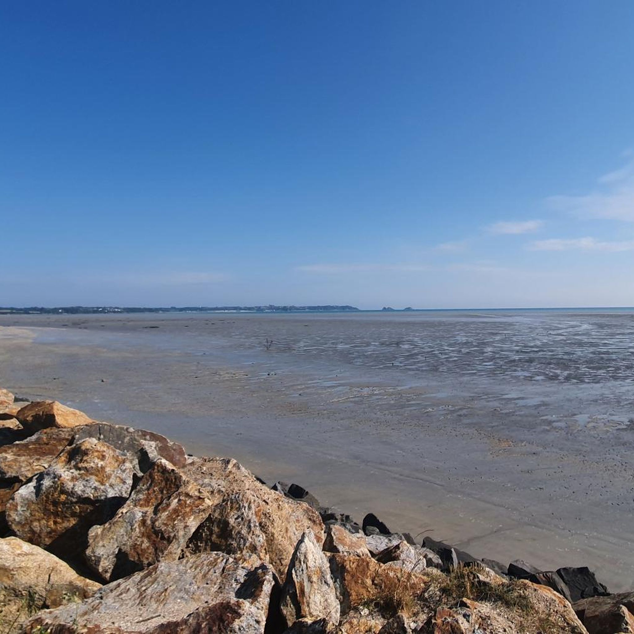
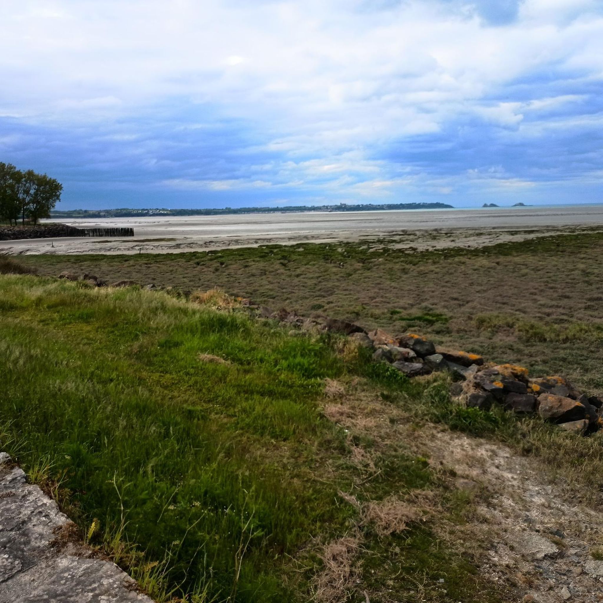
The footpath along the Couesnon to the dam already offers an impressive view of Mont-Saint-Michel. From here, the path with an unobstructed view leads across the salt marshes and the bay, with the landmark of Normandy impressively rising against the wide landscape. Especially in calm weather and with changing light, atmospheric views emerge of Mont-Saint-Michel, the course of the Couesnon river, and the tide-shaped surroundings.
13
0
The Couesnon dam (Barrage du Couesnon) was completed in 2009 and is part of the measures to preserve the bay of Mont-Saint-Michel. The facility regulates the water flow of the Couesnon and supports the natural removal of sediments by the tides. This is intended to counteract the increasing silting up of the bay and preserve the special character of Mont-Saint-Michel as a tidal island. The dam also offers a popular viewpoint with a view of Mont-Saint-Michel and the surrounding salt marshes.
3
0
The city's development was primarily shaped by fishing, seafaring, and oyster farming. As early as the Middle Ages, oysters from Cancale were known beyond the region and later became an important economic sector. The port of La Houle developed into the center of maritime life. Today, Cancale, with its coastal landscape, port facilities, and vibrant oyster tradition, recalls its long history as a fishing and port town.
14
0

From there it looks the strongest !!!
2
0

This is all about oysters. The bay is full of oyster beds, which are immediately consumed at the harbor.
0
0

Highest point of the Agglomeration of Saint-Malo, view over the Rance estuary. Numerous nearby trails on foot or MTB/Gravel
0
0
Frequently Asked Questions
How many gravel bike trails are available in Saint-Benoît-Des-Ondes?
There are over 40 gravel bike routes in the Saint-Benoît-Des-Ondes area, catering to various skill levels from easy to difficult.
What kind of terrain can I expect on gravel bike trails around Saint-Benoît-Des-Ondes?
The terrain varies significantly, from coastal paths along the Bay of Mont-Saint-Michel to the flat, canal-laced landscapes of the Marais de Dol. You'll encounter a mix of compacted dirt, gravel tracks, and quiet country roads, offering diverse experiences.
Are there any family-friendly gravel bike routes in the area?
Yes, the region offers several easy and moderate routes suitable for families. The flatter sections through the Marais de Dol, for instance, provide a gentler ride. You can find 10 easy routes among the 40 available.
What are some notable landmarks or natural features I can see while gravel biking?
Many routes offer stunning views and pass by significant landmarks. You can cycle past the historic Moulin de la Saline, explore the charming town of Cancale, or enjoy the dramatic coastal scenery at Grouin Point. The Bay of Mont-Saint-Michel itself is a constant, breathtaking backdrop.
Are there any circular gravel bike routes available?
Yes, many of the gravel bike routes in Saint-Benoît-Des-Ondes are designed as loops, allowing you to start and finish at the same point. For example, the route The Bay of Mont-Saint-Michel – Mont-Dol loop from Le Vaulerault is a popular circular option.
What is the best time of year for gravel biking in Saint-Benoît-Des-Ondes?
Brittany generally offers pleasant cycling conditions from spring through autumn. The spring (April-May) and early autumn (September-October) often provide comfortable temperatures and fewer crowds, making them ideal for exploring the coastal and marshland routes.
What do other gravel bikers enjoy most about the trails in Saint-Benoît-Des-Ondes?
The area is highly rated by the komoot community, with an average score of 4.5 stars from over 60 reviews. Cyclists often praise the diverse landscapes, from coastal views of Mont Saint-Michel to the tranquil Marais de Dol, and the variety of routes suitable for different abilities.
Are there any routes that offer views of Mont Saint-Michel?
Absolutely. The region is renowned for its proximity to the Bay of Mont-Saint-Michel. Routes like The Bay of Mont-Saint-Michel – Mont-Dol loop from Le Vaulerault specifically highlight this iconic landmark, offering spectacular vistas across the bay.
Can I find routes with historical sites or cultural points of interest?
Yes, the region is rich in history. The route Moulin de la Saline – Chapelle Sainte-Anne loop from La Gouesnière - Cancale - Saint-Méloir-des-Ondes takes you past the historic tidal mill and a charming chapel. The nearby town of Cancale, famous for its oysters, also offers a cultural experience.
Are there any challenging gravel bike routes for experienced riders?
Yes, for those seeking a challenge, there are 11 difficult routes available. The route Port of Dinan – The Port of Dinan loop from La Gouesnière - Cancale - Saint-Méloir-des-Ondes, for example, features significant elevation gain, making it a more demanding option.
Where can I find parking for gravel biking in Saint-Benoît-Des-Ondes?
Parking is generally available in and around the villages and towns that serve as starting points for many routes, such as Saint-Benoît-Des-Ondes itself, Cancale, or Dol-de-Bretagne. Specific parking details are often provided within individual route descriptions on komoot.
Are there opportunities to see coastal scenery and beaches on the gravel trails?
Definitely. The coastal sections of the routes offer stunning views of the Emerald Coast. You can cycle near the wild Pointe du Grouin or discover secluded spots like Saussaye Beach in Cancale.
Most popular routes around Saint-Benoît-Des-Ondes
Most popular attractions around Saint-Benoît-Des-Ondes

Get inspired with the komoot mobile app


Explore more
Browse the best Gravel rides in other regions.
