The best gravel rides around Quesnoy-Le-Montant
4.4
(29)
165
riders
8
rides
Gravel biking around Quesnoy-Le-Montant offers routes primarily along the Somme Canal, characterized by flat terrain and riverside paths. The region features a network of trails suitable for various skill levels, with gentle elevation changes across much of the landscape. These routes often follow waterways, providing consistent surfaces for gravel bikes.
Best gravel bike trails around Quesnoy-Le-Montant
- The most popular gravel bike trail is Saint-Valery-sur-Somme Lock – Cycle path along the Canal Somme loop from Saint-Valery Canal, a 20.4 miles…
Last updated: May 22, 2026
5.0
(7)
42
riders
Easy gravel ride. Great for any fitness level. Mostly paved surfaces. Suitable for all skill levels.
3.0
(1)
4
riders
Easy gravel ride. Great for any fitness level. Mostly paved surfaces. Suitable for all skill levels.

Sign up for free
14
riders
47.5km
02:39
110m
110m
Moderate gravel ride. Good fitness required. Mostly paved surfaces. Suitable for all skill levels.
4.3
(3)
14
riders
Moderate gravel ride. Good fitness required. Mostly paved surfaces. Suitable for all skill levels.
4.0
(1)
10
riders
85.8km
04:58
480m
480m
Hard gravel ride. Very good fitness required. Mostly paved surfaces. Suitable for all skill levels.
Get access to more routes and recommendations from other explorers.
Sign up for free
Already have an account?
Our route recommendations are based on thousands of hikes, rides, and runs completed by other people on komoot.
Start today with a free account
Your next adventure awaits.
Login or Signup


Tips from the Community

Very large equipped rest area with snack bar opposite
0
0

At least on the cobblestones, the mountain bike pays off :-)
0
0

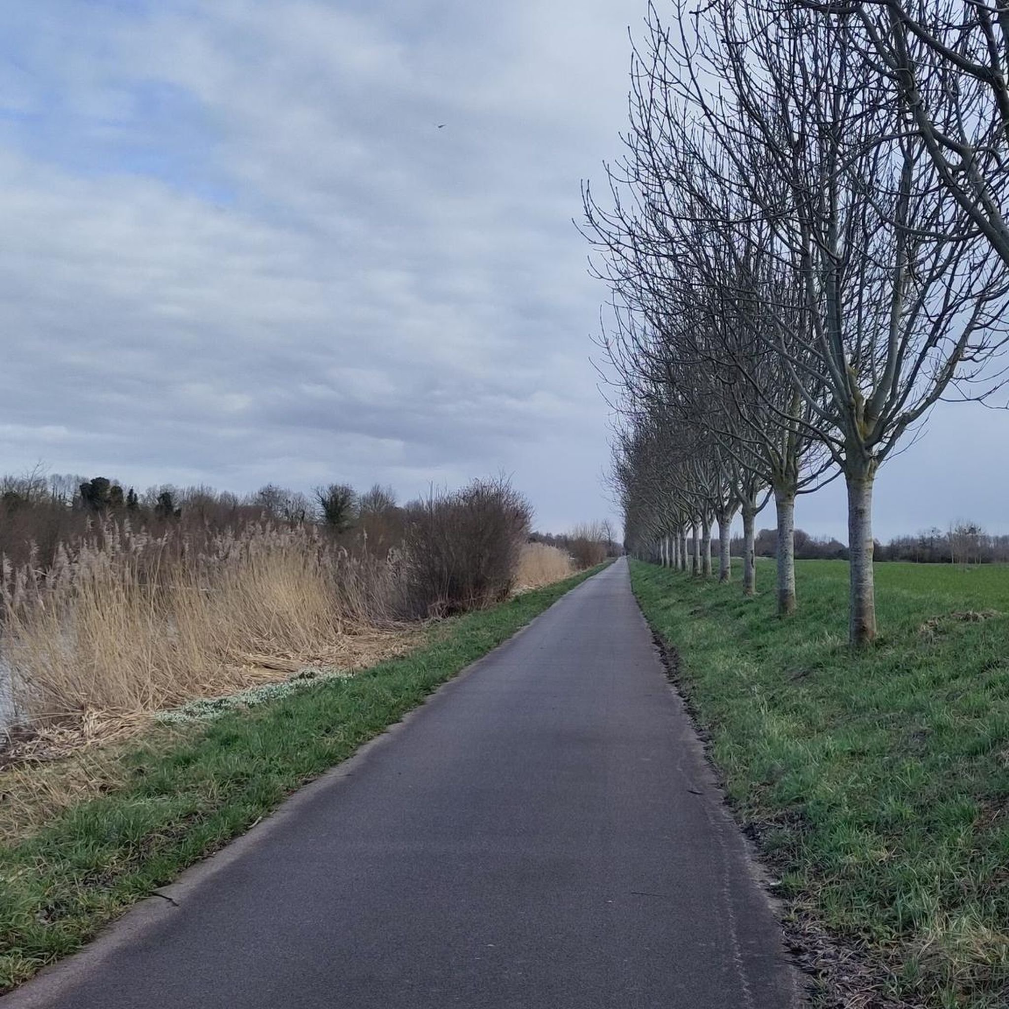
Very quiet and peaceful road along the water.
0
0

Hourdel Lighthouse is a lighthouse on the common Cayeux-sur-Mer, it is built on the south side of the Bay of Somme, at the end of the point of Hourdel.
4
0

Steam train from St Valéry, allows you to return to Noyelles station to take a TER
0
0

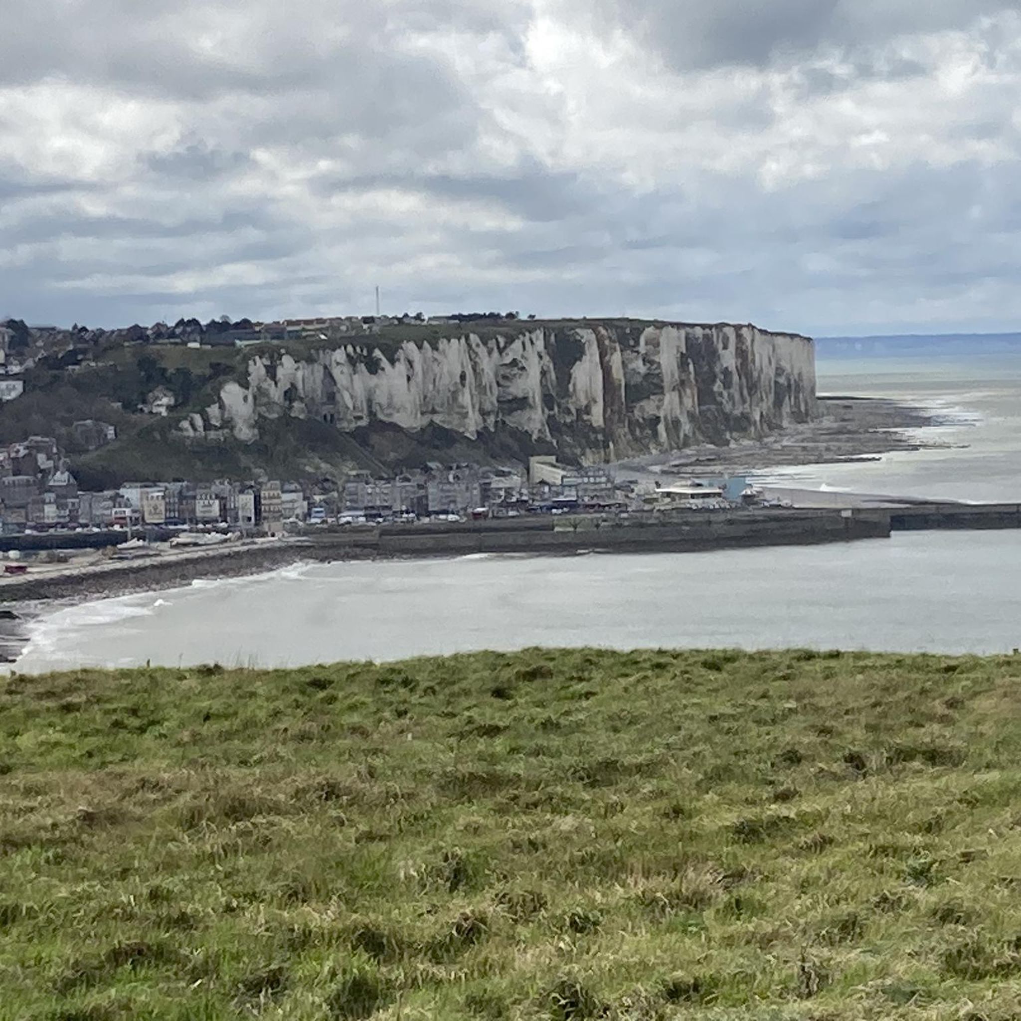
The cliffs are made of chalk and are impressive to look at.
3
0

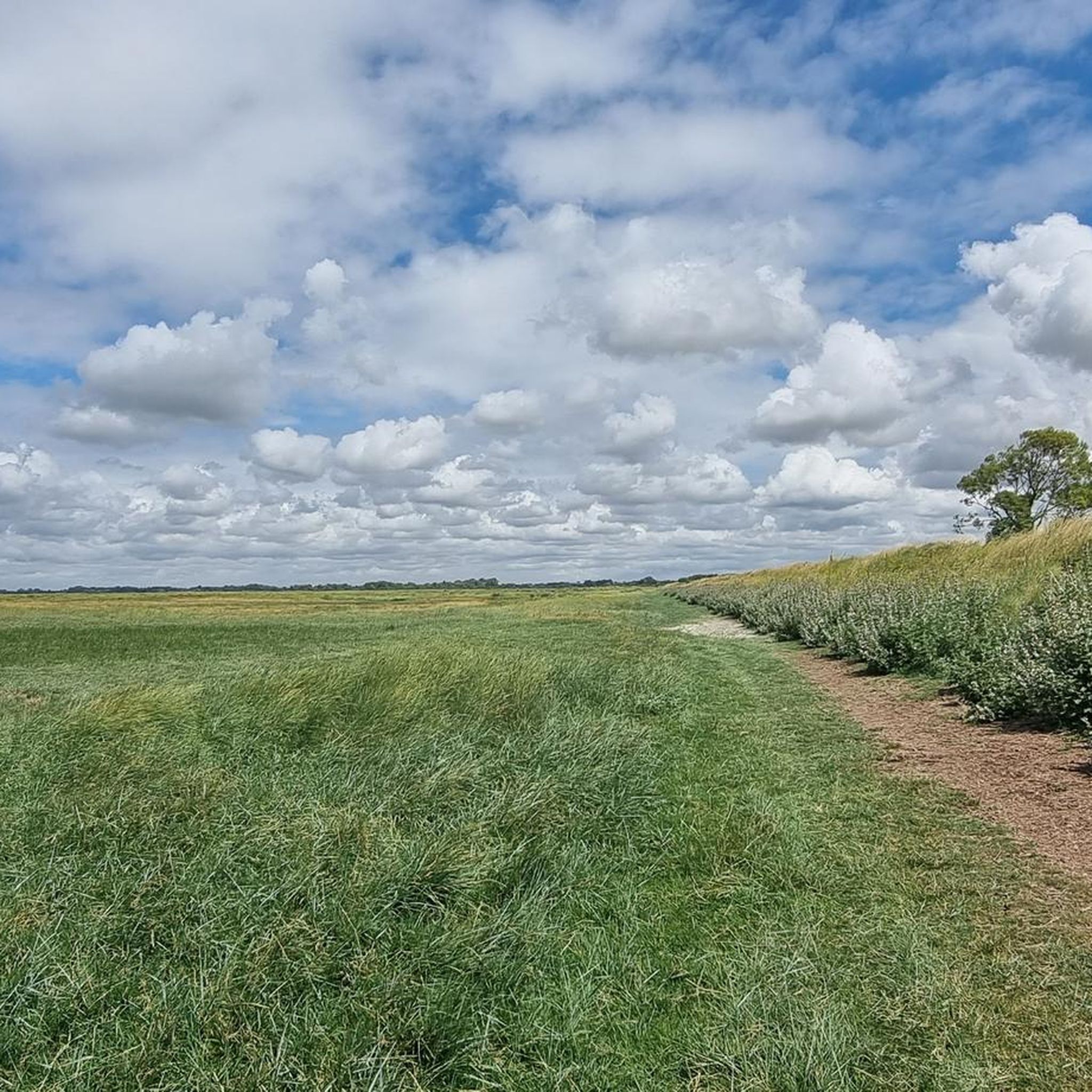
Beautiful picnic spot directly on the Canal / on the Somme.
1
0

The cliffs around the beach of Ault are composed of chalk from the Upper Cretaceous, more precisely from the Turonian and Coniacian (around 83 million years ago to 90 million years ago). They are strewn with flint nodules which highlight the subhorizontal stratification planes (the formation of flint has already been discussed in Discovery of the geology of the cliffs of Étretat, presentation of an excursion from the beach of Tilleul (Antifer) to the Porte d'Amont (Étretat Nord)). The relative proportion of chalk and flint is around 90-95% chalk to 5-10% flint. Flint horizons are stratigraphic markers. On the cliffs of Ault, the regular flint band called Seven Sisters is recognizable and characterizes the boundary between the Middle Coniacian and the Upper Coniacian (around 87 million years ago). The boundary between the lower and middle Coniacian is marked by the Shoreham 2 marl level, which is more difficult to identify. These lithostratigraphic markings allow in particular the correlation of distant deposits, such as between the Normandy and Picardy coasts, or between the French and English coasts.
2
0
Frequently Asked Questions
How many gravel bike trails are available around Quesnoy-Le-Montant?
There are over 10 gravel bike trails documented around Quesnoy-Le-Montant on komoot, offering a variety of options for different skill levels.
What is the general terrain like for gravel biking in Quesnoy-Le-Montant?
The gravel biking terrain around Quesnoy-Le-Montant is primarily flat, following the Somme Canal and riverside paths. You'll find consistent surfaces with minimal elevation changes, making it suitable for a relaxed ride.
Are there easy gravel bike trails suitable for beginners in Quesnoy-Le-Montant?
Yes, the region offers several easy gravel bike trails perfect for beginners. These routes often follow the flat canal paths, providing a gentle introduction to gravel biking. For example, the Saint-Valery-sur-Somme Lock – Cycle path along the Canal Somme loop from Saint-Valery Canal is a great option.
Are there challenging gravel bike routes for experienced riders?
While much of the terrain is flat, there are a few more challenging routes available. For instance, the Cycle path along the Canal Somme – Kanal der Somme loop from Valines is a longer, more demanding ride with greater elevation changes, suitable for experienced gravel bikers.
What scenic viewpoints or attractions can I see along the gravel bike routes?
Many routes offer views of the Somme Canal and surrounding landscapes. You can also explore nearby attractions such as the historic Port of Saint-Valery, the charming Saint-Valery-sur-Somme Old Town, or the impressive Saint-Vulfran Collegiate Church in Abbeville.
Are there any circular gravel bike routes in the area?
Yes, many of the gravel bike routes around Quesnoy-Le-Montant are designed as loops, allowing you to start and finish in the same location. An example is The Somme canalised – Around Long Lock loop from Abbeville.
What do other gravel bikers say about the trails in Quesnoy-Le-Montant?
The gravel bike routes in Quesnoy-Le-Montant are highly rated by the komoot community, with an average score of 4.7 stars from over 20 reviews. Riders often praise the well-maintained canal paths and the peaceful riverside scenery.
Are the gravel bike trails around Quesnoy-Le-Montant suitable for families?
Yes, many of the flat, well-surfaced canal paths are ideal for family outings. The minimal elevation gain and consistent terrain make for a pleasant and safe experience for riders of all ages. Consider routes starting from towns like Abbeville or Saint-Valery-sur-Somme for easy access.
Can I access gravel bike trails around Quesnoy-Le-Montant using public transport?
Many gravel bike routes in the region start from towns like Abbeville or Saint-Valery-sur-Somme, which are generally accessible by public transport. It's advisable to check local bus or train schedules to these starting points.
Is parking available near the gravel bike trails in Quesnoy-Le-Montant?
Parking is typically available in the towns and villages where many of the routes begin, such as Abbeville or Saint-Valery-sur-Somme. Look for designated parking areas near the canal paths or town centers.
What is the best time of year to go gravel biking in Quesnoy-Le-Montant?
Spring and autumn generally offer the most pleasant conditions for gravel biking in Quesnoy-Le-Montant, with mild temperatures and beautiful scenery. Summer can also be enjoyable, but be prepared for warmer weather. Winter riding is possible, but paths may be damp or muddy.
Are there any cafes or places to stop for refreshments along the gravel bike routes?
Given that many routes follow the Somme Canal and pass through or near towns like Abbeville and Saint-Valery-sur-Somme, you will find opportunities for cafes, bakeries, and restaurants to refuel and relax along your ride.
Most popular routes around Quesnoy-Le-Montant
Most popular attractions around Quesnoy-Le-Montant

Get inspired with the komoot mobile app


Explore more
Browse the best Gravel rides in other regions.
