The best gravel rides around Villard-Saint-Sauveur
4.7
(5)
53
riders
3
rides
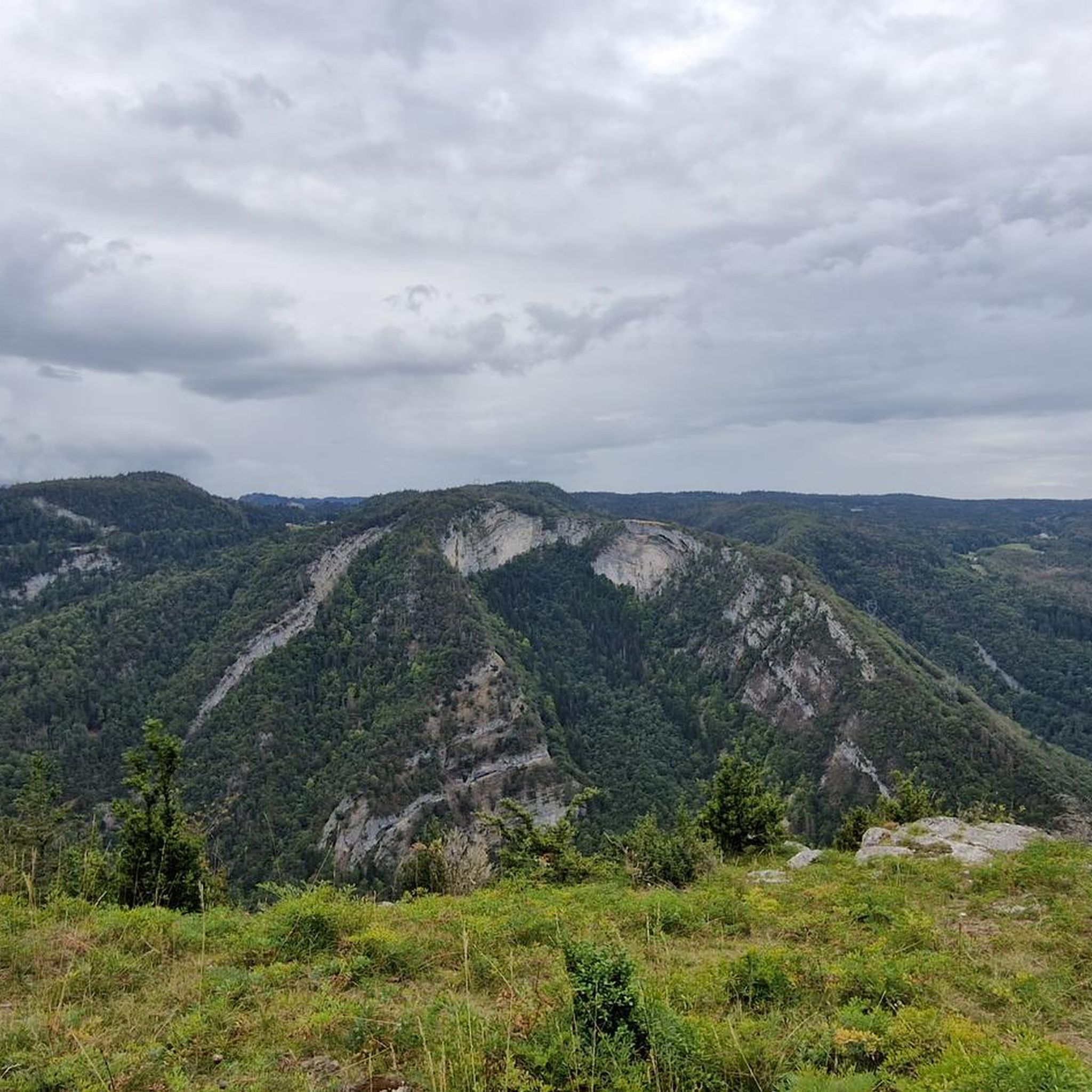
Gravel biking around Villard-Saint-Sauveur offers routes through varied terrain, characterized by hilly landscapes, dense forests, and the presence of lakes. The region's topography provides a mix of ascents and descents suitable for gravel cycling. Trails often navigate through natural areas, connecting villages and scenic points within a mountainous environment.
Best gravel bike trails around Villard-Saint-Sauveur
- The most popular gravel bike trail is Col du Haut Crêt – Lac de Lamoura loop from Septmoncel les Molunes, a 64.7 miles (104.0…
Last updated: July 29, 2026
5.0
(2)
29
riders
103km
07:56
2,240m
2,230m
Hard gravel ride. Very good fitness required. Mostly paved surfaces. Suitable for all skill levels.
5.0
(2)
12
riders
49.3km
03:26
810m
810m
Hard gravel ride. Very good fitness required. Mostly paved surfaces. Suitable for all skill levels.

Sign up for free
4
riders
32.9km
02:21
580m
580m
Hard gravel ride. Very good fitness required. Mostly paved surfaces. Suitable for all skill levels.
4.0
(1)
4
riders
16.2km
01:16
330m
340m
Moderate gravel ride. Good fitness required. Mostly paved surfaces. Suitable for all skill levels.
2
riders
Moderate gravel ride. Good fitness required. Mostly paved surfaces. Suitable for all skill levels.
Our route recommendations are based on thousands of hikes, rides, and runs completed by other people on komoot.
Start today with a free account
Your next adventure awaits.
Login or Signup
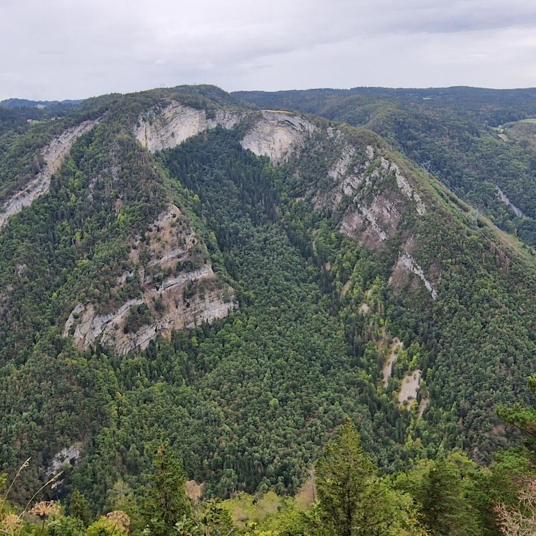
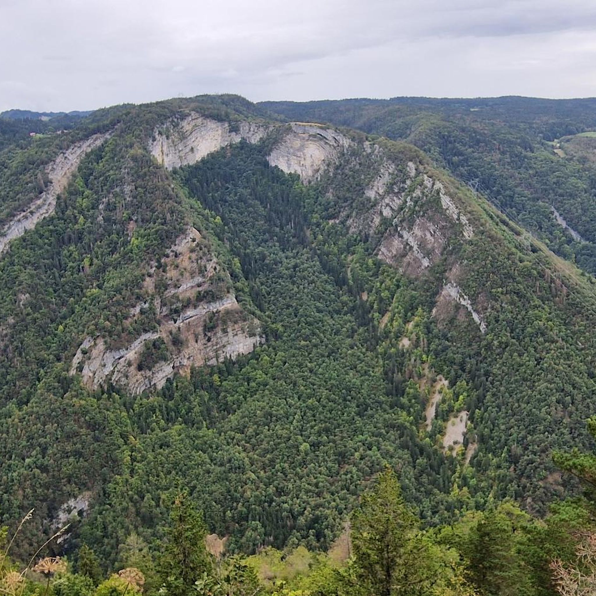
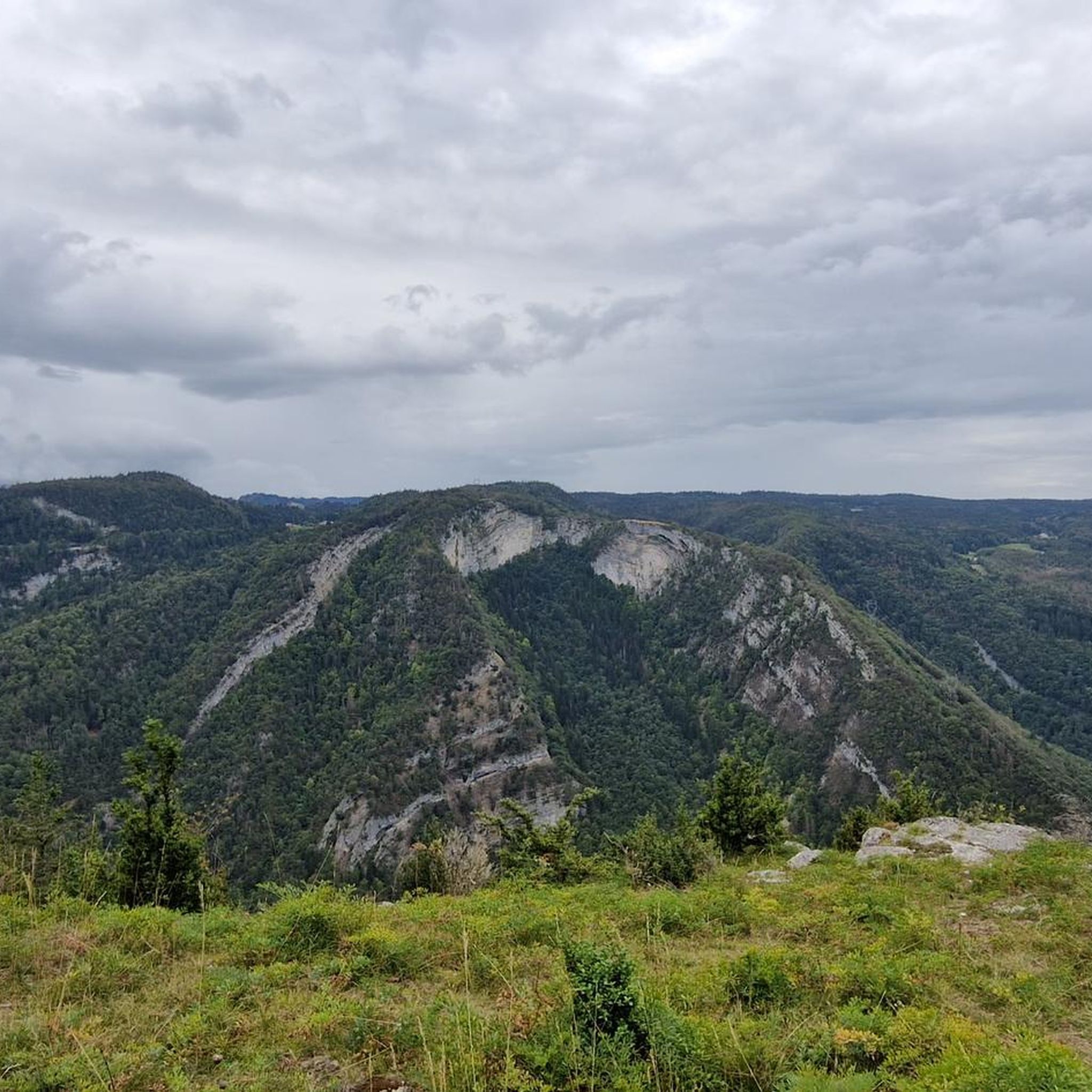
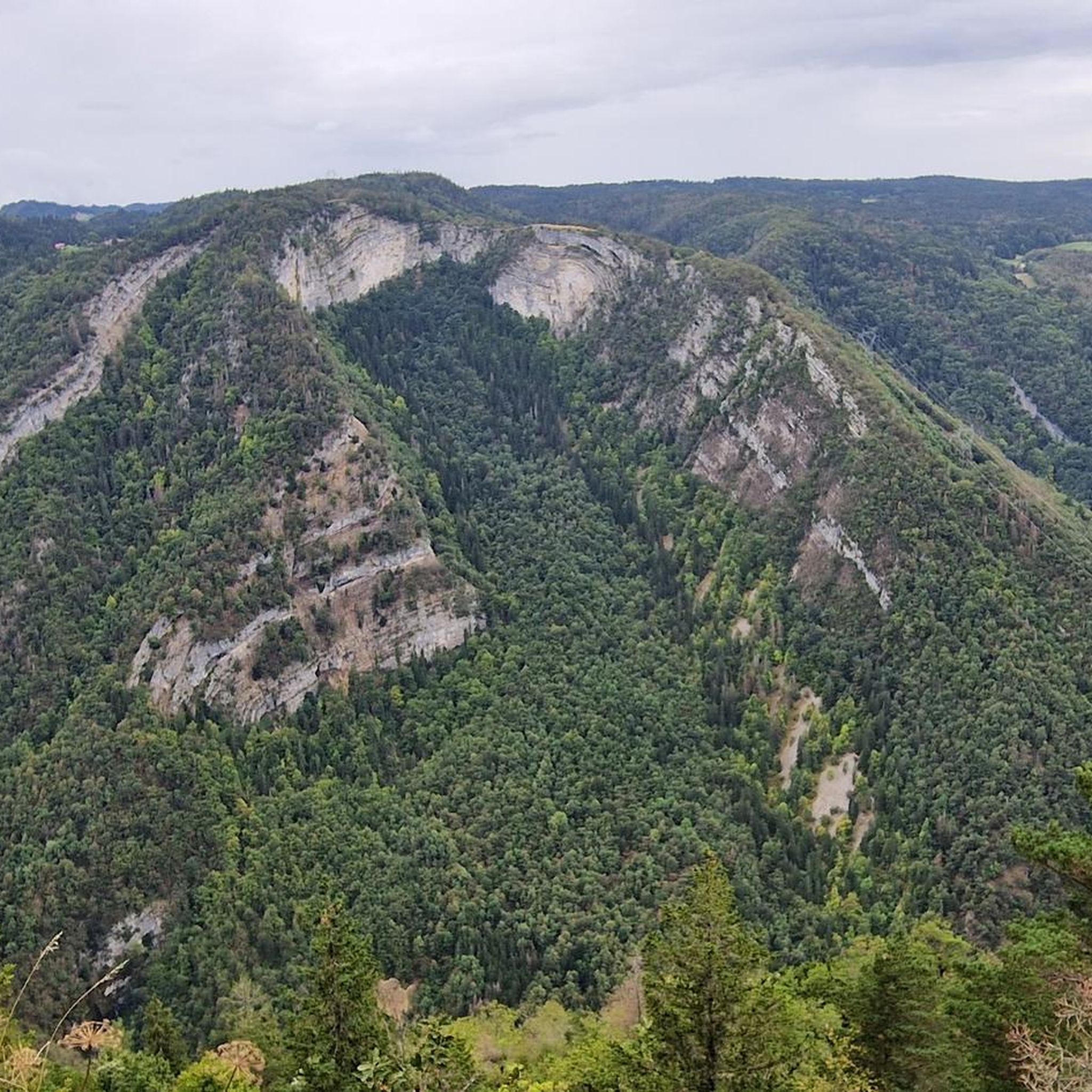
Tips from the Community

Long pass, hard at the beginning but easier at the end. Big road but it goes through without any problem.
0
0

A very beautiful place that welcomes visitors very warmly after the climb.
0
0

This boundary stone marked the border between Franche-Comté (north) and French Bugey (south). To the east, the Pays de Gex was separated by the Sardinian Corridor, in which the Spanish Way was located.
0
0

Very beautiful view of Mont Blanc
0
0
Rolling but with some technical passages
0
0


A stronghold of resistance and an ancient milestone on the Sardinian road that led to the Netherlands in the 17th century. A very beautiful view of the Jura Mountains, too.
0
0

Nice bike café with outdoor terrace.
2
0
Frequently Asked Questions
What is the typical difficulty level of gravel bike trails around Villard-Saint-Sauveur?
The gravel biking routes in Villard-Saint-Sauveur are generally challenging, characterized by hilly terrain and significant elevation changes. Most of the trails are rated as difficult, making them suitable for experienced gravel bikers. However, there is at least one moderate option, such as the La Pesse – la borne au lion loop from La Pesse, which offers a slightly less demanding ride.
Are there any long-distance gravel bike routes in the Villard-Saint-Sauveur area?
Yes, for those seeking a longer adventure, the region offers extensive routes. The longest available is the Col du Haut Crêt – Lac de Lamoura loop from Septmoncel les Molunes, which spans nearly 103 km and features substantial elevation gain, typically taking over 8 hours to complete.
Where can I find parking for gravel biking routes in Villard-Saint-Sauveur?
Many gravel routes in the region start from villages or specific points where parking is typically available. For example, routes like the Col du Haut Crêt – Lac de Lamoura loop begins from Septmoncel les Molunes, and the Lac de Lamoura – Lake Lamoura loop starts from Lamoura, both of which are likely to have local parking options. It's advisable to check specific starting points for detailed parking information.
Are there any family-friendly gravel biking options near Villard-Saint-Sauveur?
While many routes in Villard-Saint-Sauveur are rated as difficult, the La Pesse – la borne au lion loop from La Pesse is a moderate 16.2 km trail with less elevation gain, making it a more accessible option for families or those looking for a less strenuous ride. It's important to consider the fitness levels of all participants before embarking on any route.
What is the best time of year for gravel biking in Villard-Saint-Sauveur?
The region's hilly landscapes and dense forests are best enjoyed during the warmer months, typically from late spring to early autumn. This period offers more predictable weather, drier trails, and full access to all routes. Winter can bring snow and ice, making many trails impassable or significantly more challenging for gravel biking.
Are there any circular gravel bike routes available?
Yes, all the featured gravel bike routes in the Villard-Saint-Sauveur area are designed as circular loops. This includes popular options like the challenging Col du Haut Crêt – Lac de Lamoura loop from Septmoncel les Molunes and the scenic Lac de Lamoura – Lake Lamoura loop from Lamoura, allowing you to start and finish at the same point.
Can I find gravel bike trails with cafes or shops nearby in Villard-Saint-Sauveur?
Yes, some routes connect through local villages where you might find amenities. For instance, the View of Prémanon – BCShop Bike Shop and Café loop from La Serra explicitly mentions a bike shop and café, suggesting opportunities for refreshments and supplies along the way.
What kind of scenic viewpoints can I expect on gravel bike trails around Villard-Saint-Sauveur?
The region offers diverse scenic viewpoints, often featuring panoramic vistas of the Jura mountains and surrounding natural beauty. Routes frequently pass by lakes, such as Lac de Lamoura, and through dense forests. You might also encounter views of prominent summits like Grand Montrond or Crêt de la Neige, which are notable landmarks in the area.
What do other gravel bikers enjoy the most about gravel biking in Villard-Saint-Sauveur?
The area is highly rated by the komoot community, with an average score of 4.5 stars from over 2 reviews. Gravel bikers often praise the varied terrain, the challenging ascents, and the beautiful natural landscapes, particularly the forested sections and routes connecting to serene lakes.
Are there any interesting landmarks or attractions along the gravel routes?
Yes, the region is rich in natural landmarks. While riding, you might encounter impressive summits such as Grand Montrond, Crêt de la Neige, and Grand Crêt. Additionally, the Col de la Faucille (1323 m) is a significant mountain pass that offers stunning views and is often part of longer routes.
How many gravel bike trails are available in the Villard-Saint-Sauveur area?
There are at least 5 distinct gravel bike routes documented for the Villard-Saint-Sauveur area on komoot, offering a range of distances and challenges for gravel biking enthusiasts.
Most popular routes around Villard-Saint-Sauveur
Most popular attractions around Villard-Saint-Sauveur

Get inspired with the komoot mobile app


Explore more
Browse the best Gravel rides in other regions.
