The best gravel rides around Cornus
4.7
(24)
319
riders
13
rides
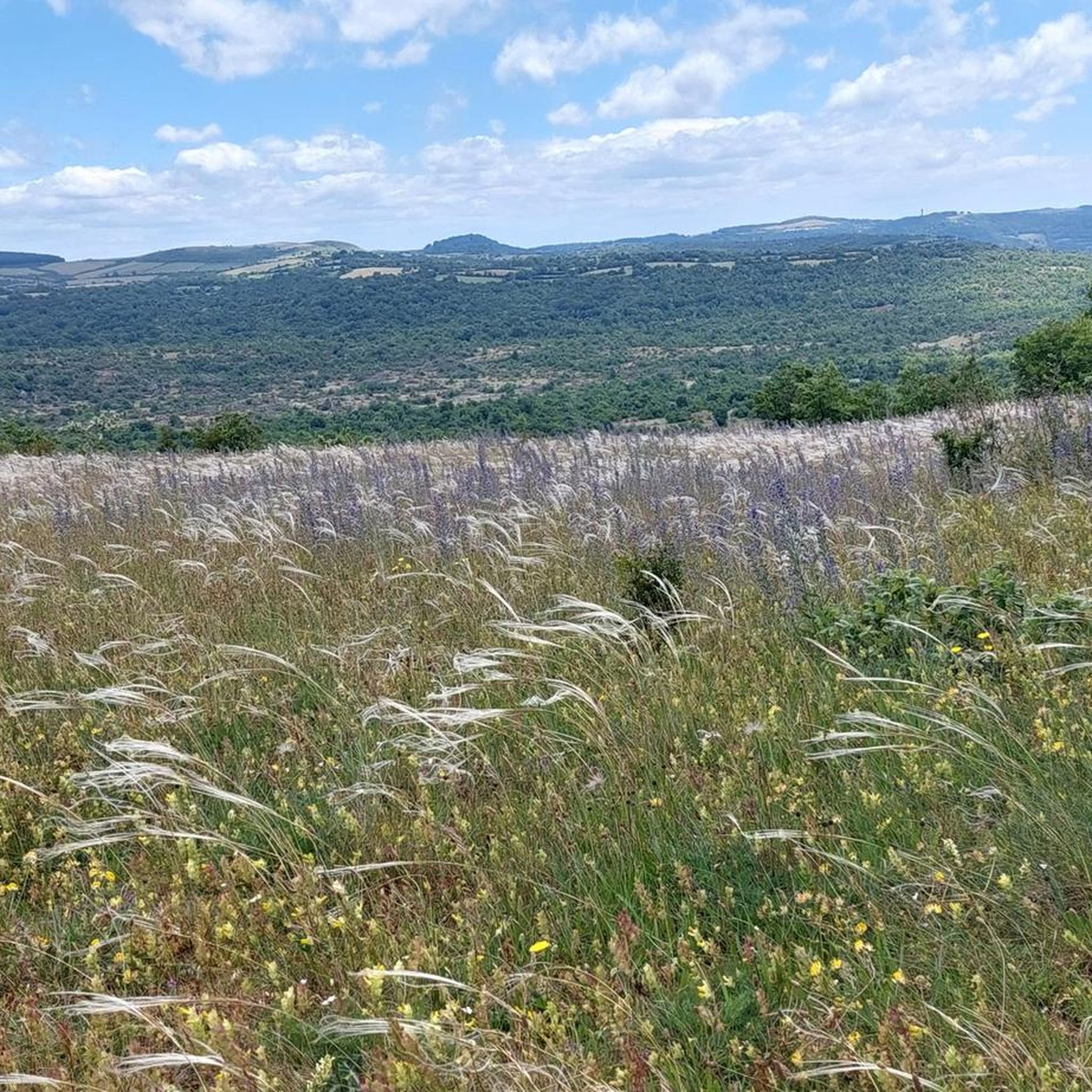
Gravel biking around Cornus offers a diverse landscape characterized by rolling hills, open plateaus, and significant elevation changes. The region features a mix of challenging climbs and scenic trails, providing varied terrain for gravel cyclists. Routes often traverse through natural areas, connecting viewpoints and historical sites within the Parc Naturel Régional des Grands Causses. This area is suitable for gravel bikers seeking both endurance challenges and picturesque rides across limestone plateaus and river valleys.
Best gravel bike trails around Cornus
…Last updated: October 6, 2026
5.0
(3)
244
riders
99.9km
06:58
1,540m
1,540m
Hard gravel ride. Very good fitness required. Mostly paved surfaces. Suitable for all skill levels.
4.3
(10)
43
riders
33.5km
02:08
290m
290m
Moderate gravel ride. Good fitness required. Mostly paved surfaces. Suitable for all skill levels.

5.0
(2)
6
riders
Hard gravel ride. Good fitness required. You may need to push your bike for some segments of this route.
5.0
(1)
4
riders
31.1km
02:06
290m
290m
Moderate gravel ride. Good fitness required. Mostly paved surfaces. Suitable for all skill levels.
4.0
(3)
8
riders
46.8km
03:23
500m
500m
Hard gravel ride. Very good fitness required. Mostly paved surfaces. Suitable for all skill levels.
Get access to more routes and recommendations from other explorers.
Already have an account?
Our route recommendations are based on thousands of hikes, rides, and runs completed by other people on komoot.
Start today with a free account
Your next adventure awaits.
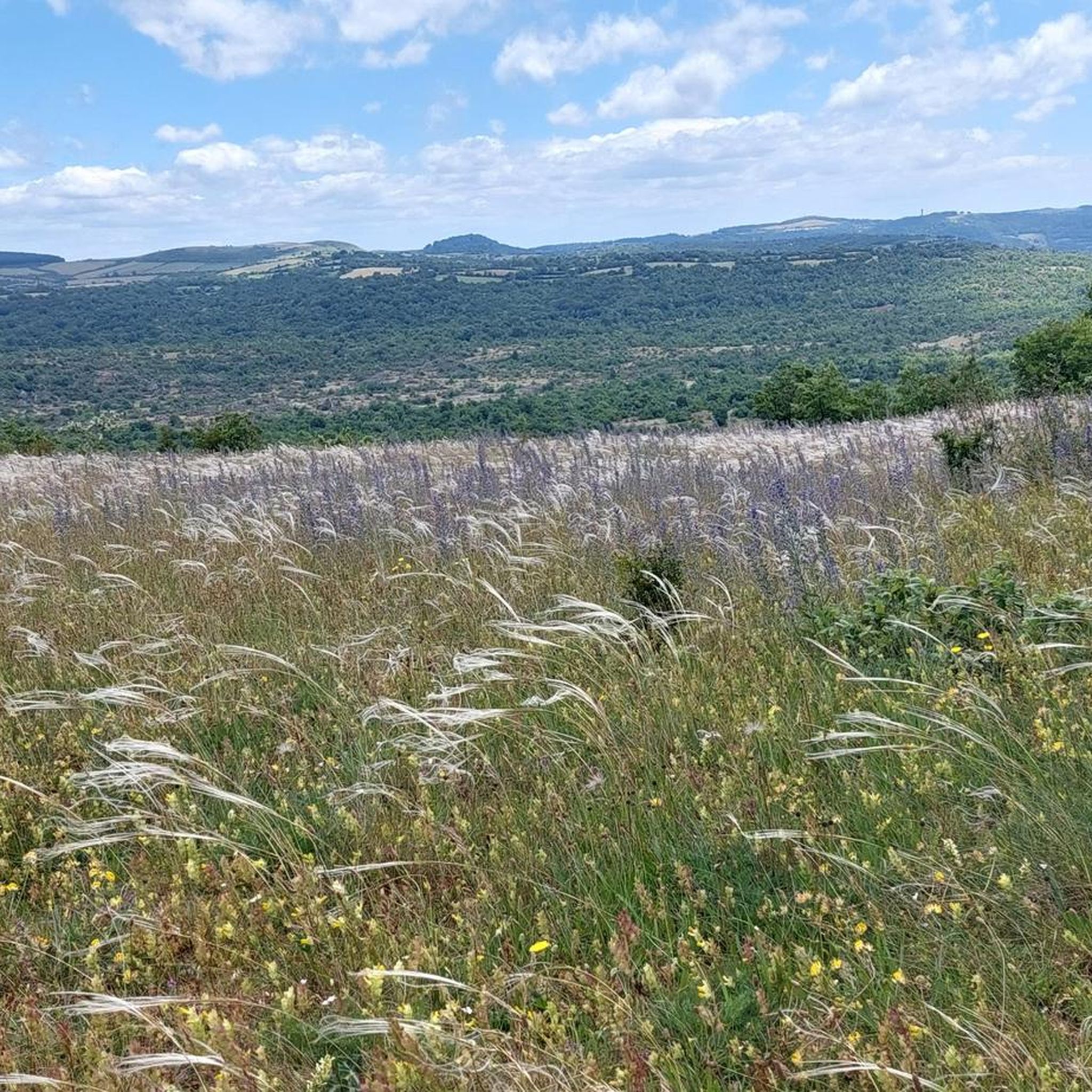
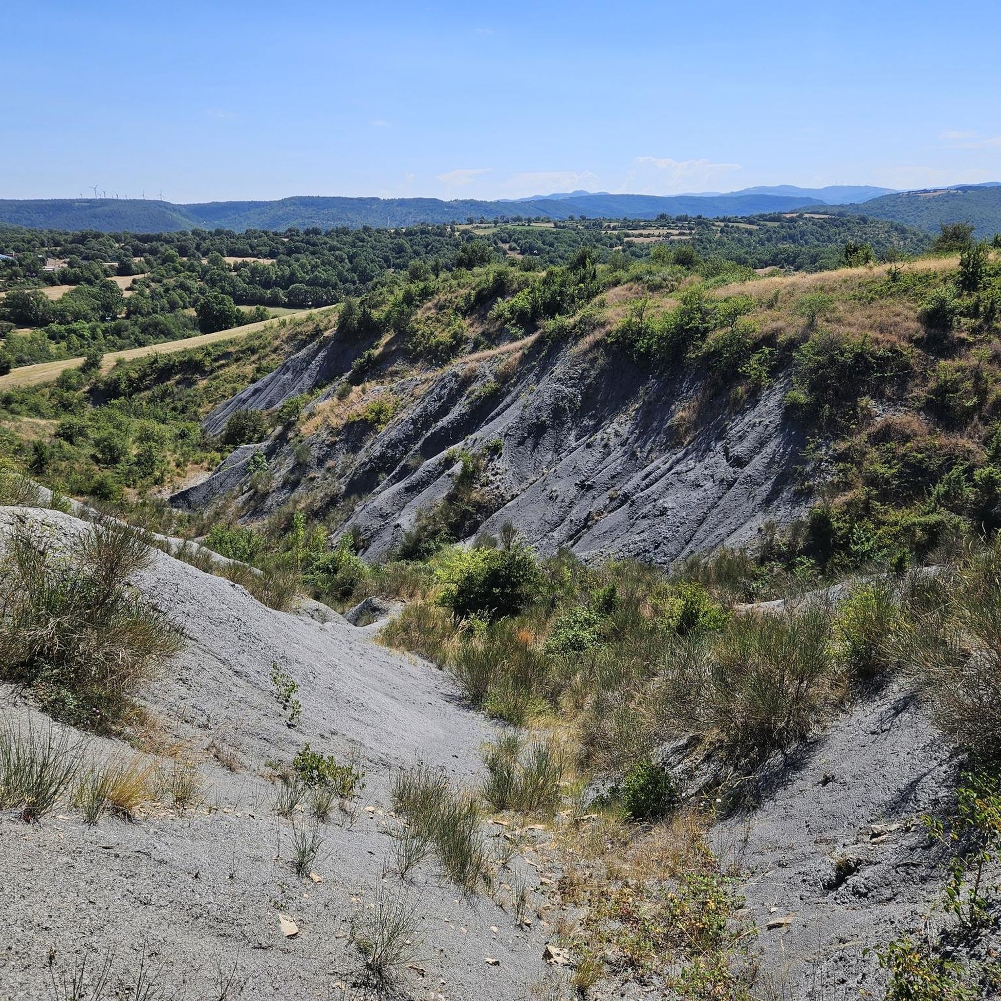
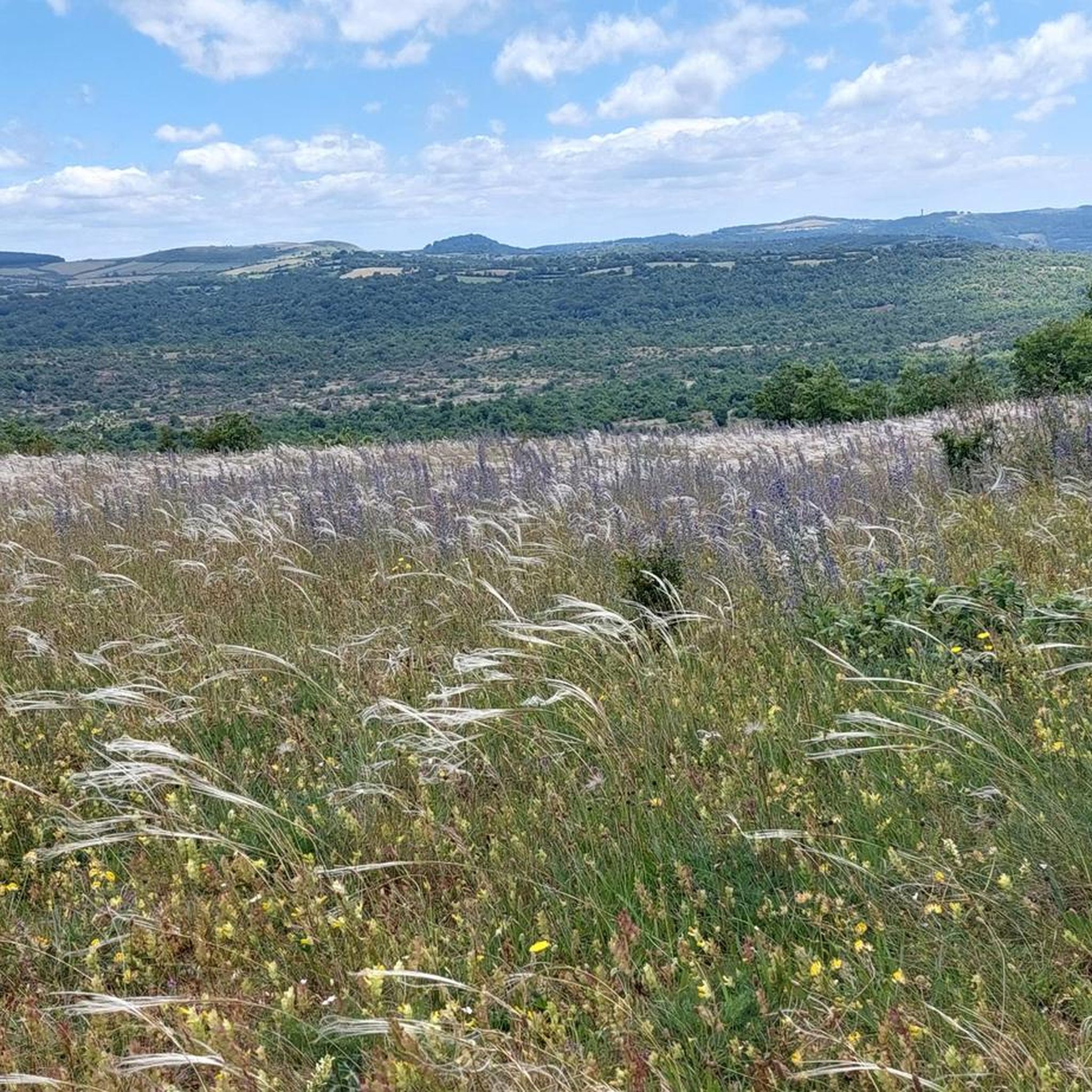
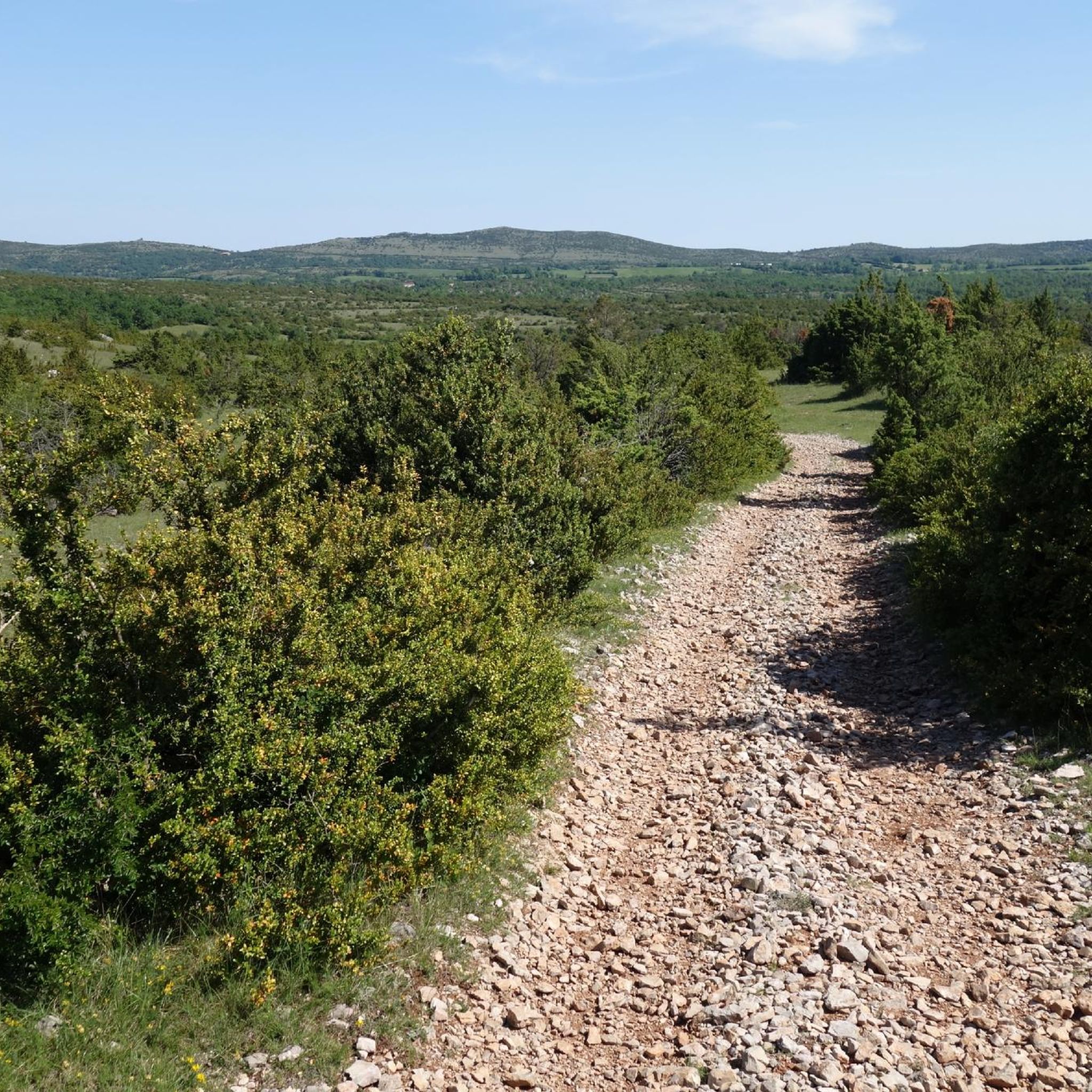
Tips from the Community

Located in the heart of the Larzac plateau, in the Aveyron, La Couvertoirade is a superb fortified medieval city, ranked among the Most Beautiful Villages of France. Formerly owned by the Templars, then by the Hospitallers, it captivates with its 15th-century ramparts, its cobbled streets, its stone houses, and its Templar castle. Don't miss the church, the communal oven, and the lavogne, a traditional basin for collecting rainwater.
0
0
In the heart of Creissels, the Pesquié basin forms a surprisingly vast body of water (1,000 m²) compared to the modest stream that feeds it. Its name, which comes from Occitan and means "fish pond", recalls the ancient purpose of the place, linked to fish farming. The town hall now occupies the premises of a former fish farm. The basin is fed by the Creissels waterfall, a typical resurgence of the karst functioning of the Larzac: the water infiltrated into the limestones of the plateau reappears after an underground journey. In September 2023, the municipality dredged the basin and created a spawning ground for brown trout (Salmo trutta). The restoration has borne fruit, as trout have since recolonized the body of water, alongside amphibians and other aquatic organisms that find refuge in the surrounding wetland.
2
0
From the Larzac plateau, the Brunas site offers a vast panorama of the Millau valley. Stretched between the two banks of the Tarn, the viaduct with its seven concrete piers appears in its entirety. Behind it unfolds the entire causse Rouge, a large limestone plateau whose undulations dominate the valley. Then, the Puech d’Andan is distinguished by its wooded silhouette, cut in two by a clear central notch. Further to the right stands the Pouncho d'Agast, a pyramidal promontory marking the beginning of the causse Noir at an altitude of 841 m. Brunas is also a true site for free flight. The take-off area is located directly on the plateau; the site is mainly used with a north wind and allows paragliders to take off and then land in the vicinity of the same sector, with approximately 370 m of elevation difference down to the valley. The spectacle of the sails evolving in front of the viaduct adds a particular dimension to this panorama.
2
0
Perché at an altitude of approximately 730 meters, the Cap de Coste viewpoint overlooks the eastern end of the Boundoulaou cirque. It reveals a vast panorama of the Millau basin and its surrounding massifs. To the left, the easily recognizable Millau Viaduct spans the Tarn valley, connecting the Larzac to the Causse Rouge. Further to the right stretches the latter: a large limestone plateau whose undulations dominate the valley. Then, the Puech d’Andan stands out with its wooded silhouette, cut in two by a clear central notch. Finally, further away, the Pouncho d’Agast, an emblematic relief of the Causse Noir, is easily recognized by its profile like a true limestone pyramid.
2
0
Entering La Couvertoirade, I discovered an incredibly well-preserved medieval village. The ramparts, narrow streets, and serene atmosphere make it a place where you naturally take the time to stroll.
2
0

The Trans-Cévennes railway project never saw the light of day in its entirety. So much so that today the project has been converted into a greenway allowing cyclists to connect Tournemire to Le Vigan. Gravel lovers will particularly enjoy this beautiful gravel route where nature has also reclaimed its rights.
0
0

History and nature an ideal mix
0
0
Frequently Asked Questions
What is the general difficulty level of gravel biking in Cornus?
Gravel biking around Cornus offers a mix of challenges. The region features 6 moderate routes and 8 difficult routes, characterized by rolling hills, open plateaus, and significant elevation changes. There are no easy routes listed, so riders should be prepared for varied terrain.
What kind of distances can I expect on gravel bike trails in Cornus?
The gravel bike trails in Cornus vary significantly in length. You can find shorter, moderate loops like the Rédounel Mill – watering pond loop from Larzac, which is about 31.7 km (19.7 miles). Longer, more challenging routes, such as the Tour du Viala-du-Pas-de-Jaux – Sainte-Eulalie-de-Cernon loop from L'Hospitalet-du-Larzac, can extend to over 110 km (68.9 miles).
Are there any scenic viewpoints or natural attractions along the gravel routes?
Yes, many routes in Cornus offer scenic viewpoints and pass by natural attractions. For instance, the Brunas Viewpoint – Cap de Coste Viewpoint loop from La Cavalerie provides extensive views. You can also explore natural monuments like Roc Castel or the Masque du Géant Rock Formation, which are highlights in the wider region.
What do other gravel bikers say about the trails in Cornus?
The gravel biking routes in Cornus are highly rated by the komoot community, with an average score of 4.1 stars from over 16 reviews. More than 250 gravel bikers have used komoot to explore the varied terrain, often praising the diverse landscapes and endurance challenges.
Are there any loop routes available for gravel biking in Cornus?
Yes, many of the gravel bike trails in Cornus are designed as loops, allowing you to start and end at the same point. Examples include the Le Caylar – View of La Couvertoirade loop from Le Caylar, which offers a circular journey through varied landscapes.
What kind of terrain can I expect on gravel bike trails around Cornus?
The terrain around Cornus is diverse, featuring rolling hills, open plateaus, and significant elevation changes. You'll encounter a mix of surfaces typical for gravel biking, connecting natural areas, viewpoints, and historical sites.
Are there any historical or man-made attractions to see while gravel biking?
Beyond natural beauty, the region around Cornus also features interesting man-made attractions. For example, the Rédounel Mill is a notable highlight, and you might also encounter the Monts d'Orb Dam or Lac d'Avène in the broader area.
How many gravel bike trails are available in the Cornus region?
There are over 14 gravel bike trails available in the Cornus region, offering a range of experiences for riders. These include 6 moderate and 8 difficult routes, ensuring options for different skill levels.
Are the gravel bike trails in Cornus suitable for beginners or families?
The gravel bike trails in Cornus are primarily categorized as moderate or difficult, with no easy routes listed. This suggests that while suitable for riders seeking a challenge, they might not be ideal for absolute beginners or families with young children looking for very gentle rides.
What are some of the longer, more challenging gravel routes in Cornus?
For experienced riders seeking a significant challenge, routes like the Brunas Viewpoint – Cap de Coste Viewpoint loop from La Cavalerie stand out. This difficult trail covers over 100 km (62.6 miles) and involves extensive climbs, typically taking around 8 hours and 44 minutes to complete.
Can I find routes that combine natural beauty with historical elements?
Yes, many routes in Cornus traverse through natural areas while also connecting to historical sites. The region's diverse landscape often means you'll encounter both picturesque scenery and points of historical interest on the same ride.
Most popular attractions around Cornus

Get inspired with the komoot mobile app


Explore more
Browse the best Gravel rides in other regions.
