The best gravel rides around Aspremont
4.1
(12)
66
riders
17
rides
Gravel biking around Aspremont offers a unique blend of sea and mountain landscapes, situated between the Mediterranean Sea and the pre-Alps. The region features an extensive network of unpaved paths, including old strategic routes and forest roads, ideal for gravel cycling. Terrain varies from rolling hills to significant climbs, traversing lush green hills, valleys, and forests, often connecting charming perched villages. This diverse environment provides varied challenges and scenic viewpoints for gravel bikers.
Best gravel bike trails around Aspremont
- The…
Last updated: October 5, 2026
4.5
(2)
8
riders
Hard gravel ride. Very good fitness required. Mostly paved surfaces. Suitable for all skill levels.
4.5
(2)
8
riders
53.2km
03:50
1,070m
1,070m
Hard gravel ride. Very good fitness required. Mostly paved surfaces. Suitable for all skill levels.

10
riders
89.8km
06:08
1,650m
1,650m
Hard gravel ride. Very good fitness required. Mostly paved surfaces. Suitable for all skill levels.
3.5
(2)
11
riders
41.0km
03:13
880m
880m
Hard gravel ride. Very good fitness required. Mostly paved surfaces. Suitable for all skill levels.
3
riders
34.1km
02:55
890m
890m
Hard gravel ride. Very good fitness required. You may need to push your bike for some segments of this route.
Get access to more routes and recommendations from other explorers.
Already have an account?
Our route recommendations are based on thousands of hikes, rides, and runs completed by other people on komoot.
Start today with a free account
Your next adventure awaits.
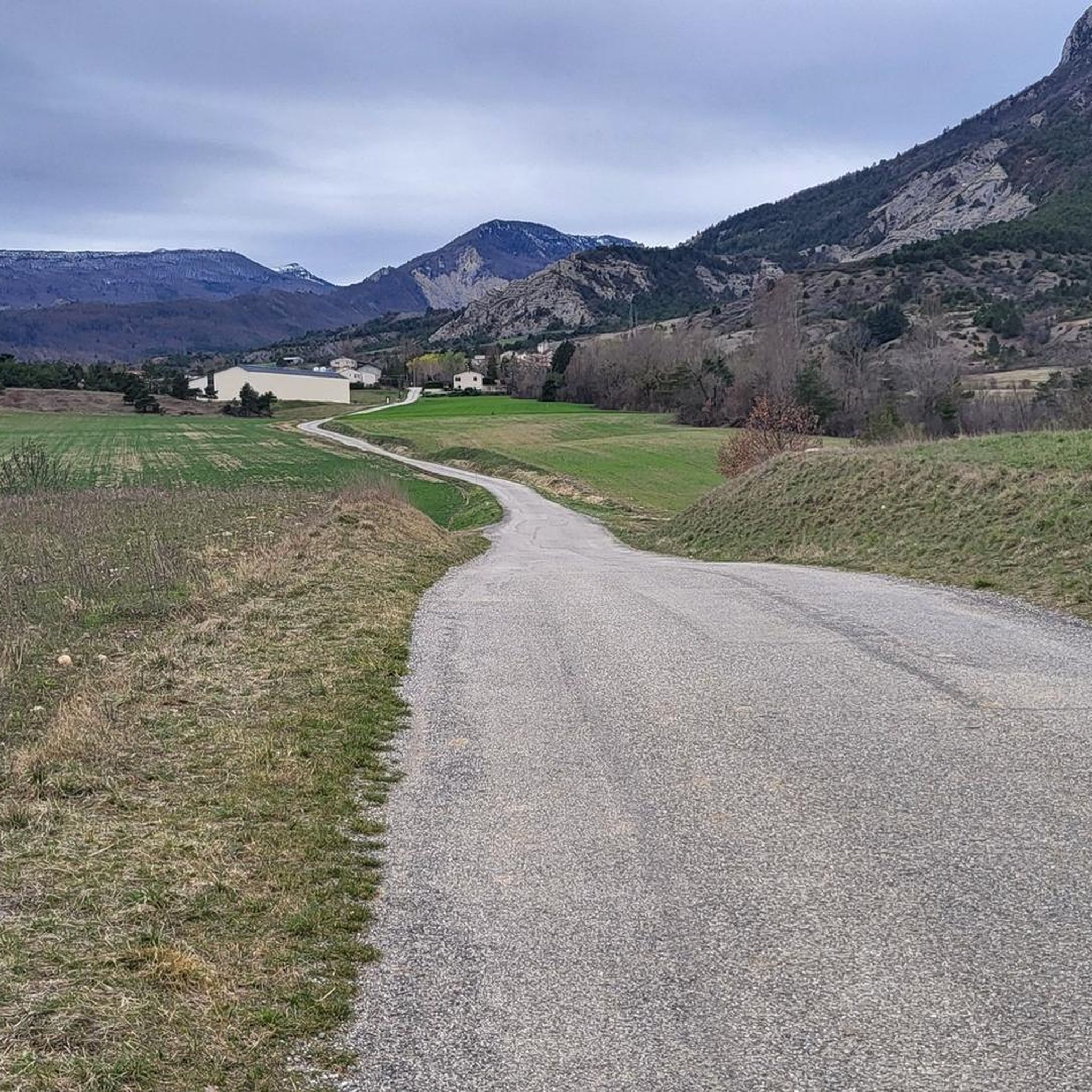
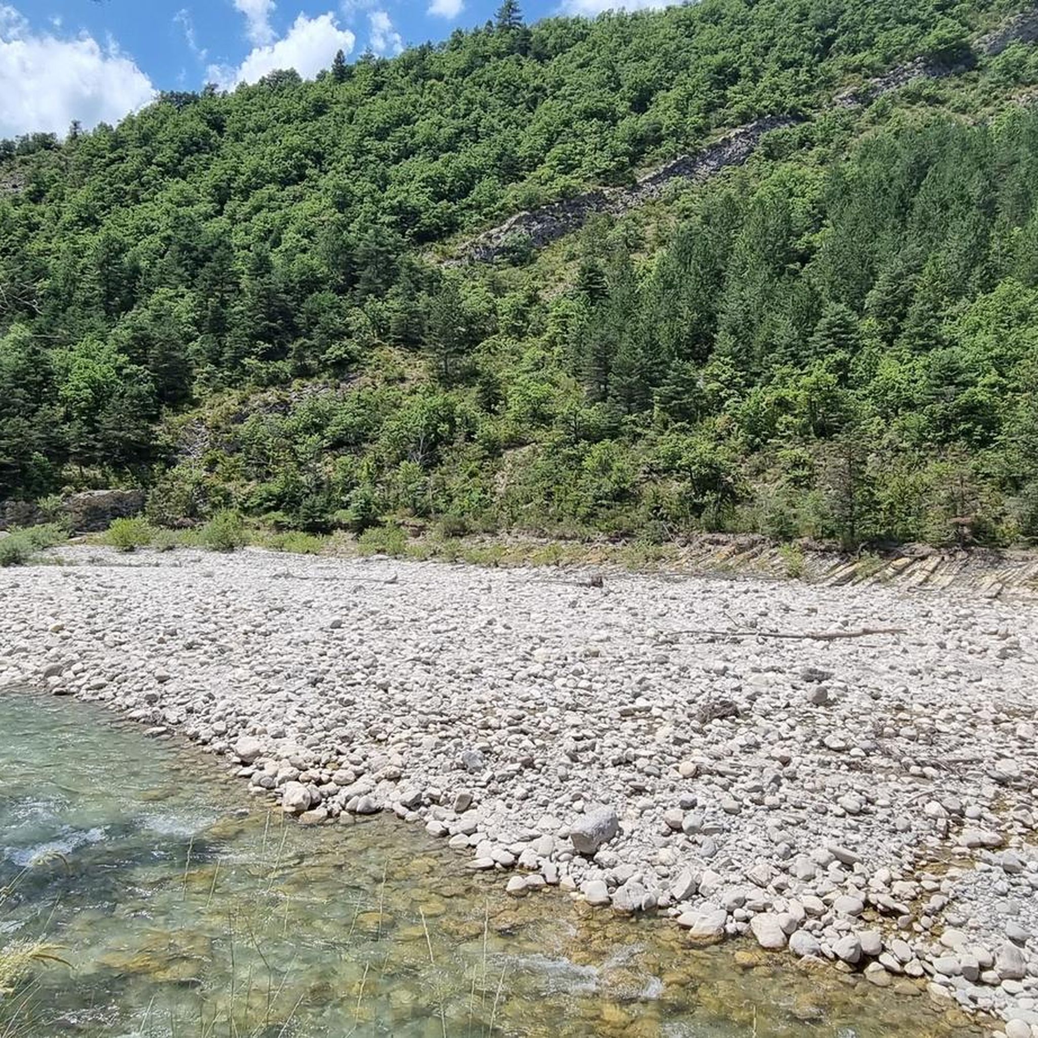
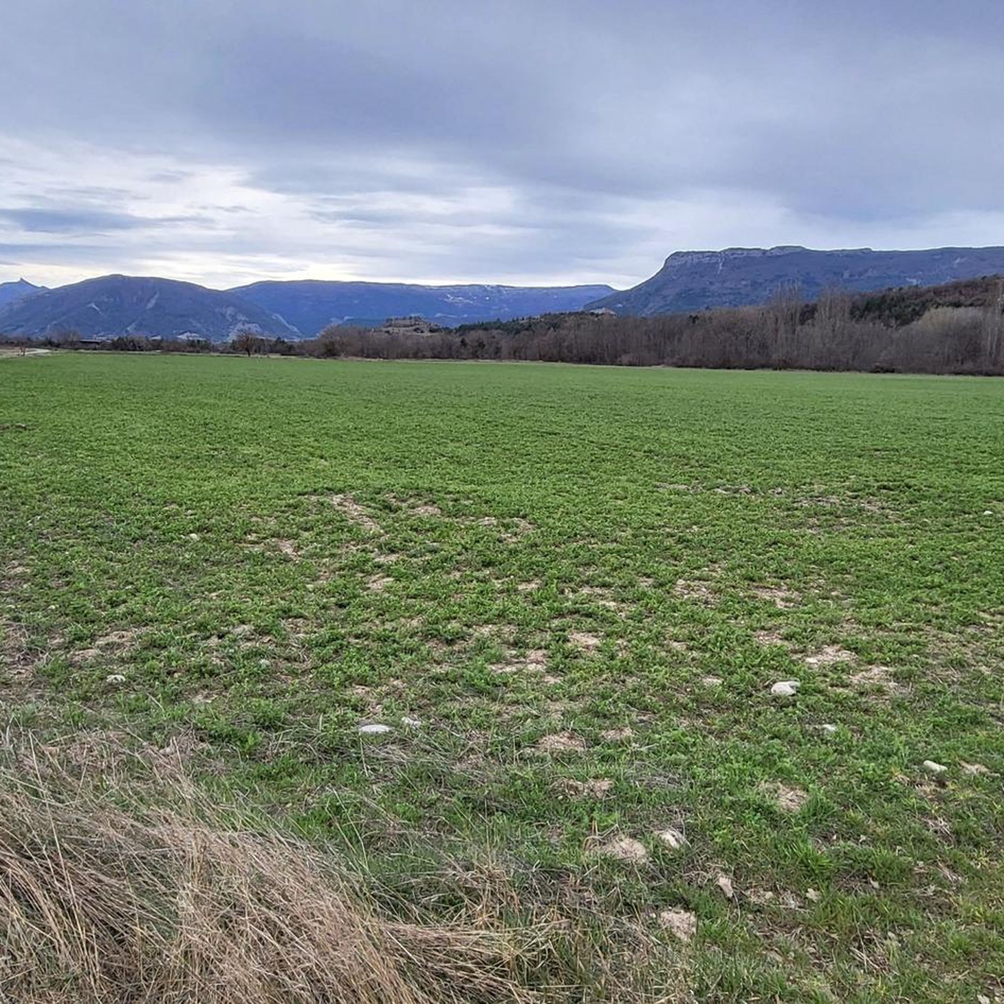
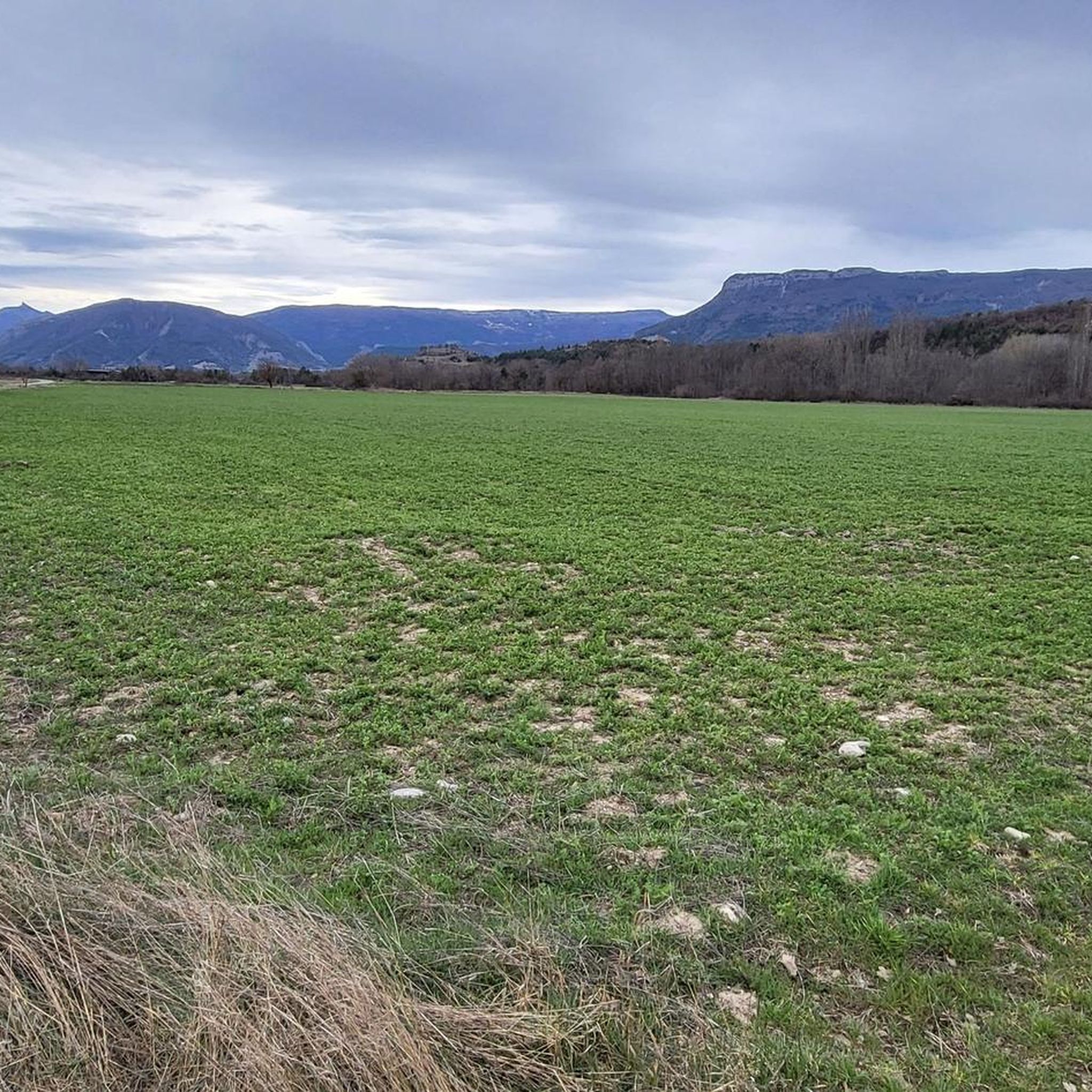
Tips from the Community

Discovery of a small part of the loop. I really enjoyed this route and it made me want to discover the loop in its entirety.
0
0

Yes, Veynes! It is a small town in the Hautes-Alpes (05), in the Provence-Alpes-Côte d’Azur region, at an altitude of about 814 m.
6
0
The Haut-Buëch circuit is a 77 km loop around Veynes, which crosses several mountain passes. Classified as difficult, it mainly takes place on shared roads (100%), has an elevation gain of 827 meters, and is recommended for experienced cyclists. The estimated travel time is about 6 hours and 29 minutes. Points of interest along the route include the Veynes railway workers' ecomuseum and the castle of Aspremont.
7
0
The Col de Verniers via Châteauneuf d'Oze is a climb located in the Hautes-Alpes region. This climb is 2.4 km long, with a total elevation gain of 124 m. The Col de Verniers via Châteauneuf d'Oze has an average gradient of 5.1%.
22
0
Ancient building maintained in excellent condition.
7
0
Ascent on a secondary road, very easy slopes. Be careful of the slightly slippery asphalt.
7
0
Road without traffic with stunning views
10
0
The Col du Festre is an Alpine pass located in the Dévoluy massif, in the Hautes-Alpes department, at an altitude of 1,441 meters. It connects the Buëch valley with that of the Souloise and is one of the main accesses to the Dévoluy territory.
7
0
Frequently Asked Questions
How many gravel bike trails are available around Aspremont?
Aspremont and its surroundings offer nearly 20 gravel bike trails for you to explore. These routes take advantage of the region's extensive network of unpaved paths, including old strategic routes and forest roads.
What is the general difficulty level of gravel biking routes in Aspremont?
The gravel biking routes around Aspremont are predominantly challenging, with 16 out of 17 routes rated as difficult. They feature significant elevation gains and varied terrain, from rolling hills to substantial climbs. There is one moderate route available for those seeking a less intense experience.
Are there any family-friendly gravel bike trails in Aspremont?
While most routes around Aspremont are rated as difficult, the region's diverse terrain does offer possibilities for varied experiences. For families or beginners, it's advisable to look for routes with less elevation gain and smoother surfaces. The extensive network of paths means you can often find sections suitable for a more relaxed ride, though dedicated 'easy' routes are not the primary focus here.
What kind of landscapes and views can I expect on these gravel trails?
Gravel biking around Aspremont offers a unique blend of sea and mountain landscapes. You can expect stunning panoramic views that often encompass both coastal vistas of the Mediterranean and the dramatic pre-Alps. Routes frequently traverse lush green hills, valleys, and forests, connecting charming perched villages. Keep an eye out for breathtaking viewpoints like the panorama of the Mediterranean from Fort de la Revère or balcony views of the Baie des Anges from Mont Macaron.
What are some notable attractions or landmarks I can see along the gravel routes?
Many gravel routes will lead you through or near charming perched villages, offering a glimpse into local culture and history. You might also encounter natural features and historical sites. For example, you could pass by the Col de Carabès or the historic Clausonne Abbey. Some trails offer views of mountain peaks like Le Duffre (Montagne de l'Aup) or the View of the Seille Valley from Saint-Apôtre.
Are there any long-distance gravel bike routes for experienced riders?
Yes, Aspremont offers several challenging long-distance routes. For instance, the Bachassette Pass – Verniers Pass loop from Veynes-Dévoluy is a demanding 34.0-mile (54.7 km) trail leading through high mountain passes, typically completed in about 3 hours 57 minutes. Another option is the Espréaux Pass – Espréaux Pass loop from Saint-Auban-d'Oze, which covers 39.5 miles (63.5 km) with significant elevation.
What is the best season for gravel biking in Aspremont?
The Nice Côte d'Azur metropolitan area, including Aspremont, provides a unique gravel biking experience year-round. Its location between the sea and the pre-Alps means you can often find suitable conditions even in cooler months, though higher elevation routes might be affected by snow in winter. Spring and autumn generally offer pleasant temperatures and vibrant scenery.
What do other gravel bikers enjoy most about the trails in Aspremont?
The komoot community highly rates the gravel biking experience in Aspremont, with an average score of 4.7 stars from over 6 reviews. Riders often praise the unique blend of sea and mountain landscapes, the extensive network of varied unpaved roads, and the challenging climbs that lead to rewarding panoramic views.
Are there any loop routes available for gravel biking?
Yes, many of the gravel routes around Aspremont are designed as loops, allowing you to start and finish at the same point. Examples include the challenging Chemin des Gorges d’Agnielles – Hameau de Saint-Marcellin loop from Veynes-Dévoluy, a 20.9-mile (33.6 km) route, or the View of L'Aujour – Bachassette Pass loop from Veynes-Dévoluy, which offers panoramic views over 25.6 miles (41.3 km).
Where can I find parking or trailheads for gravel biking in Aspremont?
Aspremont, as a perched village, serves as an excellent starting point for many routes. Given the extensive trail network, many routes begin directly from the village or nearby towns. For specific routes, checking the tour details on komoot will often provide information on recommended starting points and potential parking areas. The region's network of old 'routes strategiques' and DFCI forest roads often have accessible trailheads.
Are there places to stop for refreshments along the gravel trails?
While the trails themselves often lead through natural and sometimes remote areas, many routes connect various charming perched villages. These villages, including Aspremont itself, typically offer small cafes, bakeries, or local shops where you can refuel and enjoy a break. Planning your route to pass through these villages can enhance your experience.
Most popular attractions around Aspremont

Get inspired with the komoot mobile app


Explore more
Browse the best Gravel rides in other regions.
