The best gravel rides around Meyrueis
4.9
(6)
103
riders
23
rides
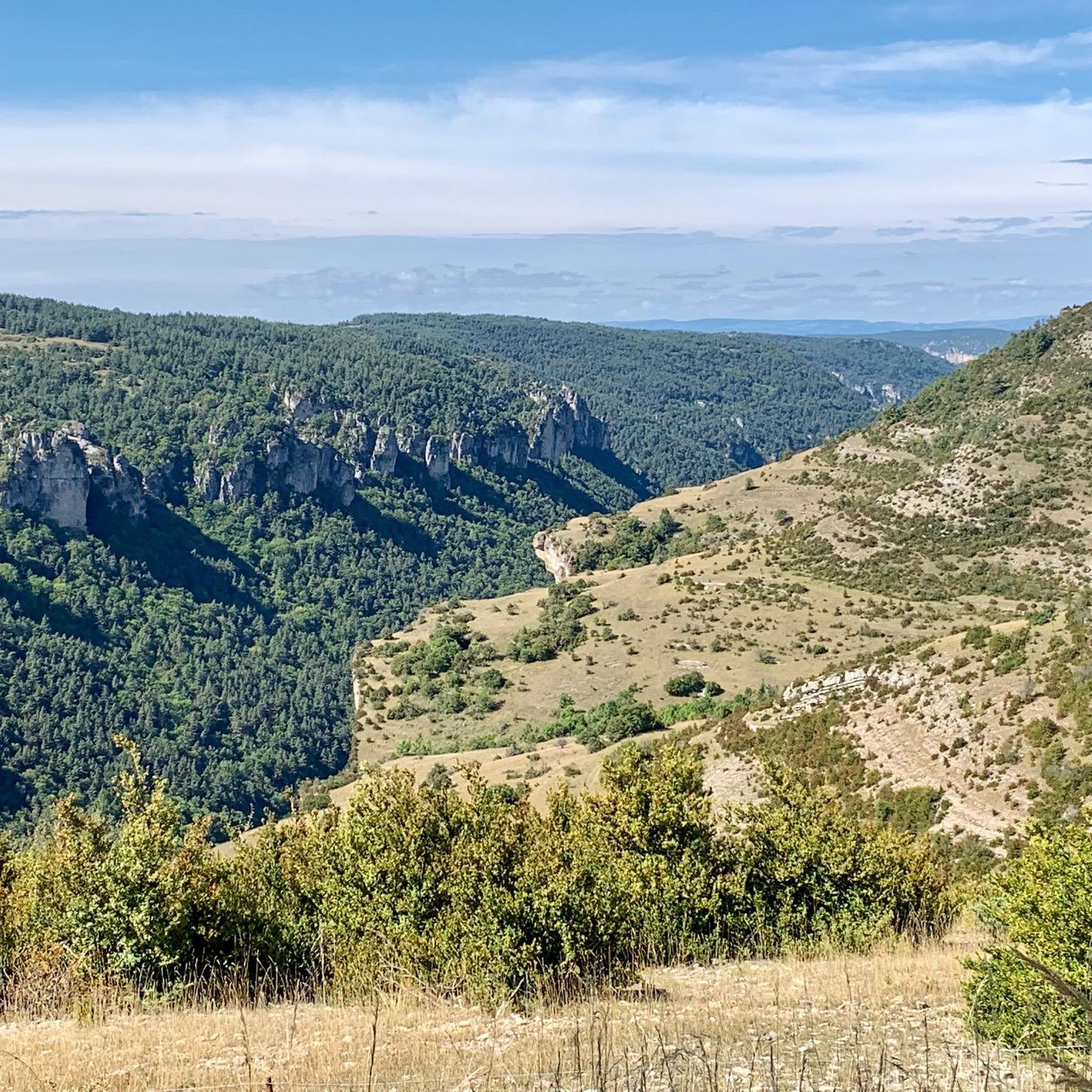
Gravel biking around Meyrueis offers routes through the rugged landscapes of the Cévennes National Park and Grands Causses. The region is characterized by deep gorges, such as the Jonte and Tarn, alongside elevated limestone plateaus like Causse Méjean and Causse Noir. Riders can expect varied terrain, from winding paths along river valleys to climbs towards higher elevations like Mont Aigoual. The extensive network includes wide gravel paths, logging tracks, and quiet back roads.
Best gravel bike trails around Meyrueis
- The…
Last updated: October 6, 2026
10
riders
61.1km
05:22
1,430m
1,430m
Hard gravel ride. Very good fitness required. You may need to push your bike for some segments of this route.
4
riders
Hard gravel ride. Good fitness required. You may need to push your bike for some segments of this route.

16
riders
124km
08:11
1,890m
1,890m
Hard gravel ride. Very good fitness required. Mostly paved surfaces. Suitable for all skill levels.
7
riders
43.6km
02:59
800m
800m
Hard gravel ride. Very good fitness required. Mostly paved surfaces. Suitable for all skill levels.
1
riders
22.5km
01:41
390m
380m
Moderate gravel ride. Good fitness required. Mostly paved surfaces. Suitable for all skill levels.
Get access to more routes and recommendations from other explorers.
Already have an account?
Our route recommendations are based on thousands of hikes, rides, and runs completed by other people on komoot.
Start today with a free account
Your next adventure awaits.
Popular around Meyrueis
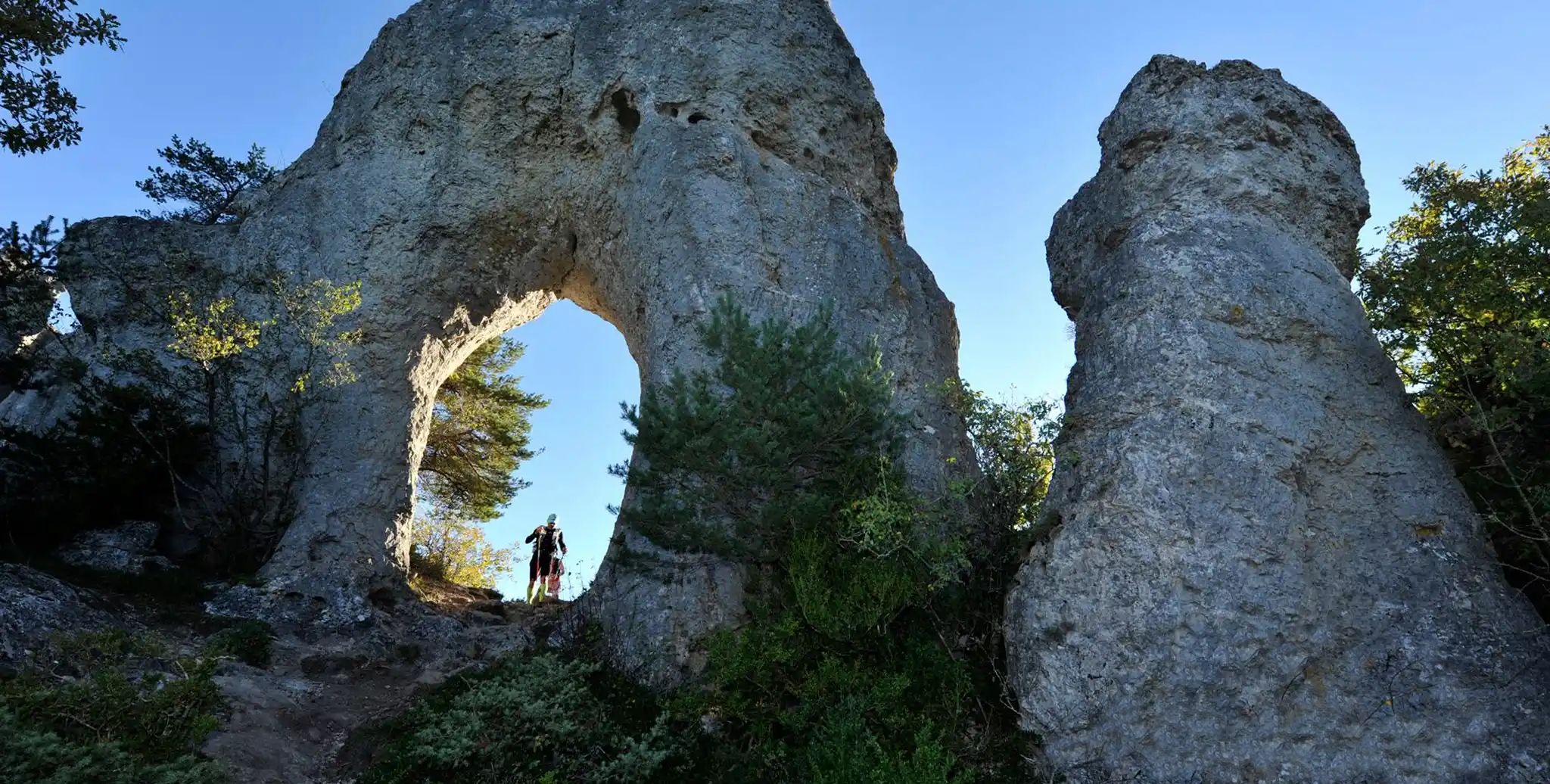
Meyrueis to La Roque-Sainte-Marguerite – GR 62A in France
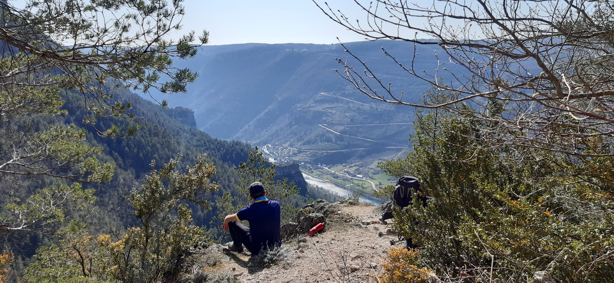
Walking to the rhythm of the Causses — The GRP Tour du Causse Méjean
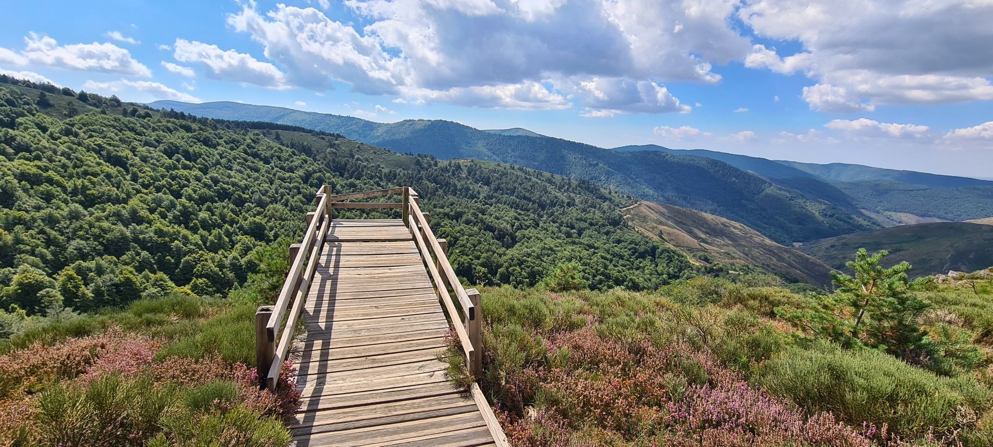
Hike and wild camp in the Cevennes — a Tour of Mount Aigoual (GR 66)
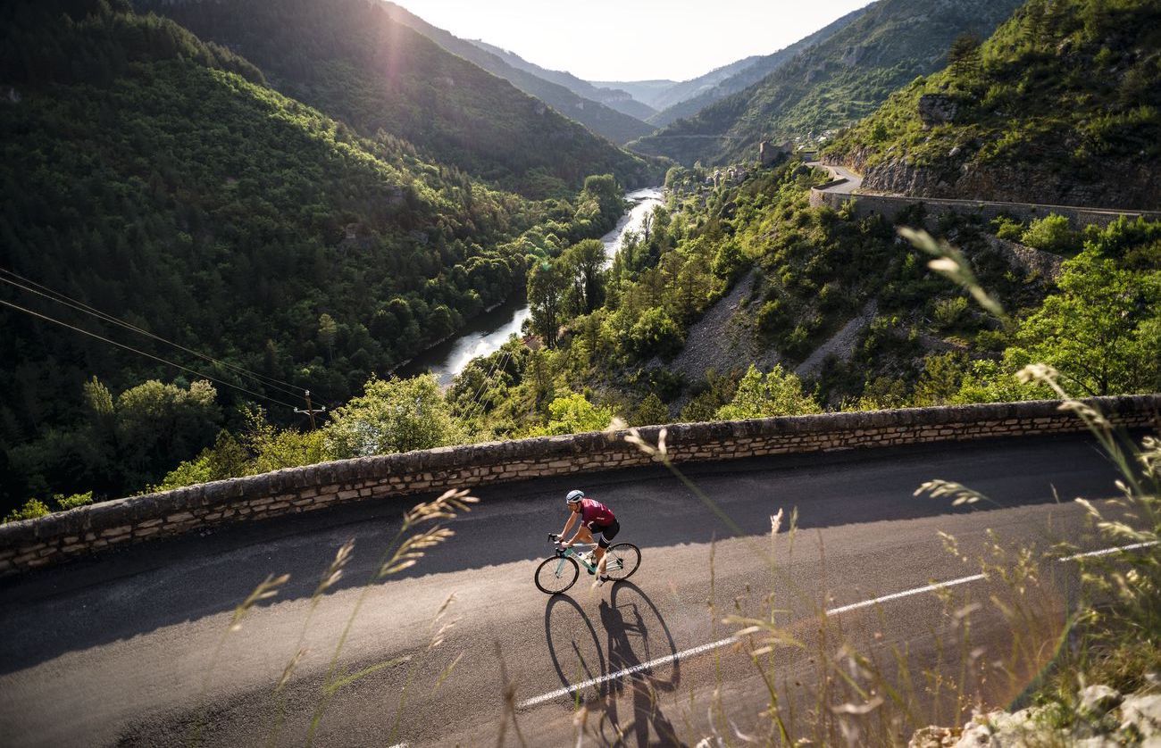
Lonely Cevennes: The beautiful south of France
Road Cycling Routes around Meyrueis
Hiking around Meyrueis
Cycling around Meyrueis
MTB Trails around Meyrueis
Running Trails around Meyrueis
Other adventures around Meyrueis


Tips from the Community

Sublime point, view of the Cévennes and the Mediterranean Sea in good weather
0
0

To avoid in hot weather, or bad weather. Be careful of herds during the summer grazing period.
0
0

Under the title “France’s Wild South,” an episode of the British television series »National Parks – Protected Natural Wonders« on 3sat introduces the Cévennes. The accompanying text on the website states: “Lush green mountains, barren high plateaus, and deep gorges characterize this landscape, which, unlike France’s coasts, has not yet been discovered by mass tourism. Yet, it boasts what are probably the country’s most spectacular river landscapes.” The worthwhile film contribution in German can be accessed in the media library at the following link =>> https://www.3sat.de/dokumentation/nationalparks-geschuetzte-naturwunder/nationalparks-geschuetzte-naturwunder-cevennen-frankreichs-wilder-sueden-102.html
0
0

As a local and a cyclist, I can confirm that the scenery is magnificent and the small roads are ideal for cycling, provided you avoid the peak period from July 15th to August 15th. However, I regret that you only mention the village of Le Rozier in the route descriptions, while the photos are mostly of Peyreleau, a superb, unspoiled village, away from the traffic of the gorges, which it faces on the other side of the Jonte River! Note: Le Rozier is in Lozère, while Peyreleau is in Aveyron.
0
0

Cabrillac is a typical example of the small hamlets found throughout the Cévennes. These small stone buildings are characteristic of the local architecture.
0
0

A lovely tourist town with plenty of options. Beautiful scenery along the Tarn.
0
0
Great scenery, not too much traffic even on Sunday.
0
0
Beautiful landscape, great views of the Tarn and rocks.
0
0
Frequently Asked Questions
How many gravel bike trails are available around Meyrueis?
There are over 25 gravel bike trails available around Meyrueis, offering a variety of experiences through the Cévennes and Grands Causses regions. These routes are highly rated by the komoot community, with an average score of 4.8 stars.
What kind of terrain can I expect on gravel bike trails near Meyrueis?
The terrain around Meyrueis is diverse, featuring deep gorges like the Jonte and Tarn, elevated plateaus, and forested areas. You can expect varied surfaces, from winding paths along river valleys to challenging climbs towards higher elevations such as Mont Aigoual.
Are there any easy gravel bike trails suitable for beginners in Meyrueis?
The gravel biking routes around Meyrueis are generally geared towards experienced riders, with 6 moderate and 19 difficult trails listed. There are currently no easy routes specifically designated for beginners in the immediate area, as the region is known for its challenging mountain ascents and rugged landscape.
Where can I find challenging gravel bike routes with significant elevation gain?
For challenging routes with significant elevation, consider the Meyrueis – Mont Aigoual loop from Saint-Sauveur-Camprieu, which features over 1400 meters of elevation gain. Another demanding option is the Jonte Gorge – Gorges du Tarn loop from Veyreau, with over 1600 meters of ascent.
Are there any notable viewpoints or natural landmarks along the gravel routes?
Yes, the region is rich in natural landmarks. You can find stunning viewpoints like the Vertigo Viewpoint and the View of the Gorges du Tarn from Roc des Hourtous. The Veygalier farmhouse inn – Chaos of Nîmes-le-Vieux loop from Fraissinet-de-Fourques explores unique limestone rock formations.
What natural monuments can I explore while gravel biking near Meyrueis?
Beyond the routes themselves, the area offers several natural monuments. You could visit the impressive Aven Armand cave or the unique rock formations of the Arcs de Saint-Pierre. The majestic Mount Aigoual is also a prominent natural feature in the region.
Are there gravel bike routes that form a loop around Meyrueis?
Yes, many of the gravel bike routes in the area are designed as loops. Examples include the Meyrueis – Mont Aigoual loop from Saint-Sauveur-Camprieu and the Jonte Gorge – Gorges du Tarn loop from Veyreau, allowing you to start and finish in the same location.
What do other gravel bikers enjoy most about the trails in Meyrueis?
The komoot community highly rates the gravel trails in Meyrueis, with an average of 4.8 stars. Riders often praise the dramatic landscapes of the gorges and plateaus, the challenging ascents, and the sense of adventure offered by the varied terrain. The region's natural beauty and the opportunity to explore unique geological formations are frequently highlighted.
What is the best time of year for gravel biking in Meyrueis?
The best time for gravel biking in Meyrueis is typically from late spring to early autumn (May to October). During these months, the weather is generally more stable and pleasant, making the challenging routes more enjoyable. Summer can be hot, so early morning rides are recommended, while spring and autumn offer cooler temperatures and vibrant scenery.
Where can I find parking for gravel biking in Meyrueis?
Meyrueis and surrounding villages like Saint-Sauveur-Camprieu, Fraissinet-de-Fourques, and Veyreau typically offer public parking areas. It's advisable to check local signage upon arrival, especially in smaller hamlets, to ensure appropriate parking for your starting point.
Are there cafes or places to stop for refreshments along the gravel routes?
While some larger villages or popular tourist spots along the routes may have cafes or small inns, many of the gravel trails in the Cévennes and Grands Causses traverse remote areas. It's highly recommended to carry sufficient water and snacks, especially on longer routes like the Viewpoint overlooking Castelbouc – Gorges du Tarn loop from Hures-la-Parade. Plan your stops carefully and be prepared for self-sufficiency.
Most popular attractions around Meyrueis

Get inspired with the komoot mobile app


Explore more
Browse the best Gravel rides in other regions.
