The best gravel rides around Saint-Bauzille-De-La-Sylve
3.6
(51)
393
riders
24
rides
Gravel bike trails around Saint-Bauzille-De-La-Sylve navigate a landscape characterized by significant elevation changes, including prominent summits and cols. The region features varied terrain, from elevated ridges offering expansive views to routes that pass by historical structures. Gravel biking here often involves sustained climbs and descents, providing a challenging experience across its diverse natural environment.
Best gravel bike trails around Saint-Bauzille-De-La-Sylve
- The most popular gravel bike trail is Devil's Bridge – Ridges of the Rocher des Vierges loop from Gignac, a 41.2 miles (66.2 km) trail that takes 4 hours 55 minutes to complete. This difficult route explores elevated ridges and river crossings.
- Another top favourite among local gravel bikers is Mont Saint-Baudille Summit – Col du Vent (703 m) loop from Saint-Jean-de-Fos, a difficult 26.7 miles (43.0 km) path. This route includes significant climbs to a summit and a mountain pass, offering panoramic views.
- Local gravel bikers also love the Ridges of the Rocher des Vierges – The ridges of St Guiraud loop from Saint-André-de-Sangonis, an 18.2 miles (29.2 km) trail leading through elevated ridges, often completed in about 2 hours 9 minutes.
- Gravel biking around Saint-Bauzille-De-La-Sylve is defined by elevated ridges, river valleys, and varied elevations. The network offers options for both moderate and difficult ability levels, with more than 20 routes available.
- The routes in Saint-Bauzille-De-La-Sylve are highly rated by the komoot community with an average score of 3.5 stars from over 40 reviews. More than 300 gravel bikers have used komoot to explore Saint-Bauzille-De-La-Sylve's varied terrain.
Last updated: November 3, 2026
7
riders
55.2km
04:00
910m
910m
Hard gravel ride. Very good fitness required. Mostly paved surfaces.
4.0
(1)
14
riders
Hard gravel ride. Very good fitness required. You may need to push your bike for some segments of this route.

6
riders
Moderate gravel ride. Good fitness required. Mostly paved surfaces.
5.0
(1)
5
riders
Hard gravel ride. Very good fitness required. Mostly paved surfaces.
4.0
(1)
5
riders
40.0km
02:51
620m
620m
Hard gravel ride. Very good fitness required. Mostly paved surfaces.
Get access to more routes and recommendations from other explorers.
Already have an account?
Our route recommendations are based on thousands of hikes, rides, and runs completed by other people on komoot.
Start today with a free account
Your next adventure awaits.
Tips from the Community

Dominating the causse from the edge of a plateau, the Castellas d’Aumelas is one of the great medieval sites of the Hérault. Mentioned as early as 1036, the castle passed to the viscounts of Béziers at the end of the 10th century, then depended on the kings of Majorca and finally on the king of France. It was dismantled by royal troops in 1622. What remains is a set of ruins: a keep and chapel, a double enclosure and remains of the old village, with the Notre-Dame church. The site has been protected as a historical monument since 1986 and classified since 1989. The visit is free and open to the public, and the site offers beautiful viewpoints over the garrigue and the surrounding hills.
3
0
Dominating the causse from the edge of a plateau, the Castellas d'Aumelas is one of the great medieval sites of the Hérault. Mentioned as early as 1036, the castle passed to the viscounts of Béziers at the end of the 10th century, then depended on the kings of Majorca and finally on the king of France. It was dismantled by royal troops in 1622. What remains is a set of ruins: keep and chapel, double enclosure and vestiges of the old village, with the Notre-Dame church. The site has been protected as a historical monument since 1986 and classified since 1989. The visit is free and open to the public, and the site offers beautiful views of the garrigue and the surrounding hills.
3
0

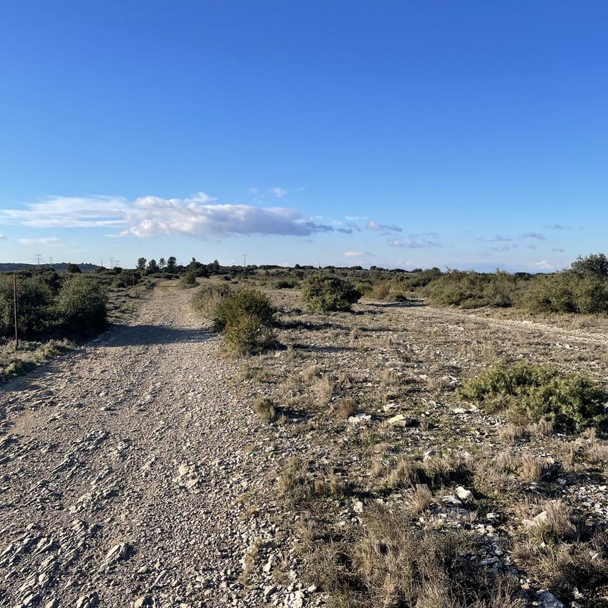
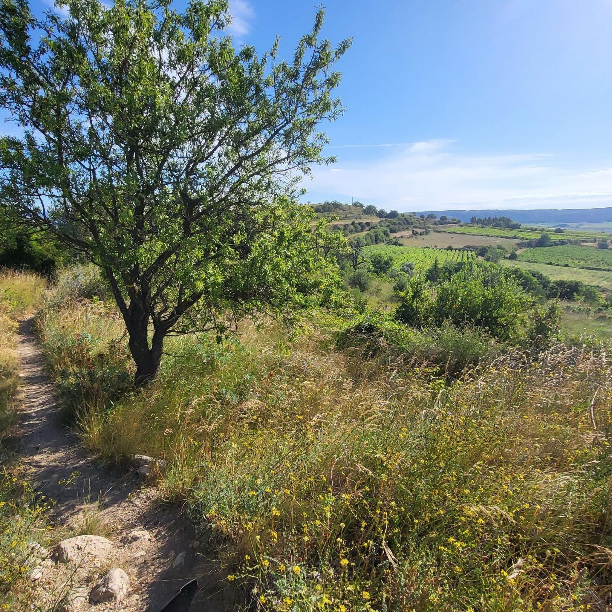
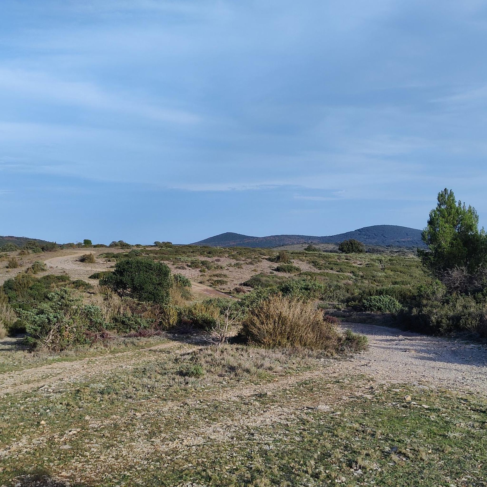
Beautiful views on both sides of the path.
0
0
From Mont Saint-Baudille, the view is breathtaking! Enjoy the panorama of the Hérault plain, the Mediterranean, Pic Saint Loup, and Canigou!
3
0

The mountain bike climb up the north face is very steep and stony, and we did most of it on foot. The descent to the northeast to Mas d'Aubert is easy.
0
0

Beware of the wind and the cold once at the top
0
0
Don't hesitate to take a little wool 😅
0
0

Perfect for cooling off, it's spring water but the city doesn't have the money to certify that it's drinkable but it tastes good
0
0
Frequently Asked Questions
How many gravel bike trails are available around Saint-Bauzille-De-La-Sylve?
There are over 20 gravel bike routes to explore in the Saint-Bauzille-De-La-Sylve area, offering a variety of experiences across its diverse terrain.
Are there any easy gravel bike trails suitable for beginners?
While there are no routes specifically graded as 'easy', you'll find 10 moderate gravel bike trails around Saint-Bauzille-De-La-Sylve. These routes still involve significant elevation changes but are generally less demanding than the difficult options.
What is the typical length and duration of gravel bike trails in this region?
The gravel bike trails in Saint-Bauzille-De-La-Sylve vary significantly in length and duration. For instance, the Ridges of the Rocher des Vierges – The ridges of St Guiraud loop from Saint-André-de-Sangonis is about 29 km (18 miles) and takes around 2 hours 9 minutes, while longer routes like the Devil's Bridge – Ridges of the Rocher des Vierges loop from Gignac can be over 66 km (41 miles) and require nearly 5 hours to complete.
What kind of terrain can I expect on gravel bike routes near Saint-Bauzille-De-La-Sylve?
The terrain is characterized by significant elevation changes, including prominent summits and cols. You'll encounter varied landscapes, from elevated ridges offering expansive views to river valleys and routes passing by historical structures. Expect sustained climbs and descents, providing a challenging experience.
Are there any family-friendly gravel biking options?
Given the region's characteristic significant elevation changes and the absence of 'easy' graded routes, most gravel trails around Saint-Bauzille-De-La-Sylve are better suited for experienced riders or families with older, more capable children. The 10 moderate routes might be an option for adventurous families.
What are some notable viewpoints or natural attractions along the gravel bike trails?
Many routes offer panoramic views from elevated ridges and summits. For specific attractions, you might encounter the historic Devil's Bridge or the medieval village of Saint-Pons-de-Mauchiens. The Mont Saint-Baudille Summit – Col du Vent (703 m) loop from Saint-Jean-de-Fos specifically highlights a summit and mountain pass, promising extensive vistas.
Are there any circular gravel bike routes in the area?
Yes, many of the gravel bike trails around Saint-Bauzille-De-La-Sylve are designed as loops. Examples include the Devil's Bridge – Ridges of the Rocher des Vierges loop from Gignac and the Mont Saint-Baudille Summit – Col du Vent (703 m) loop from Saint-Jean-de-Fos, allowing you to start and finish at the same point.
What is the best time of year for gravel biking in Saint-Bauzille-De-La-Sylve?
The region generally enjoys a Mediterranean climate. Spring and autumn are often ideal, offering pleasant temperatures and less extreme weather for tackling the significant climbs and descents. Summers can be hot, and winters might bring cooler, potentially wetter conditions, though snow is rare at lower elevations.
Where can I find parking when visiting these gravel bike trails?
While specific parking areas aren't detailed for every route, you can typically find parking in the towns where many routes begin, such as Gignac, Saint-Jean-de-Fos, Saint-André-de-Sangonis, or Montpeyroux. Look for public parking facilities within these villages.
What do other gravel bikers say about the trails in Saint-Bauzille-De-La-Sylve?
The routes in Saint-Bauzille-De-La-Sylve are highly rated by the komoot community, with an average score of 3.5 stars from over 40 reviews. Riders often praise the challenging nature of the trails, the varied elevations, and the rewarding views from the elevated ridges.
Are there any routes that pass by historical sites or landmarks?
Yes, several routes offer glimpses of the region's history. For example, the The monks' descent – The Castellas of Montpeyroux loop from Montpeyroux includes historical elements, and the Château d'Aumelas – Aumelas Castle loop from Gignac passes by the ruins of a medieval castle, offering a cultural dimension to your ride.
Most popular routes around Saint-Bauzille-De-La-Sylve
Most popular attractions around Saint-Bauzille-De-La-Sylve

Get inspired with the komoot mobile app


Explore more
Browse the best Gravel rides in other regions.
