The best gravel rides around Chichilianne
4.8
(43)
249
riders
11
rides
Gravel biking around Chichilianne is characterized by challenging mountain terrain, featuring significant elevation changes and numerous passes. The region is situated within a landscape of valleys and hills, with routes often following old roads and tracks. It lies at the foot of Mont Aiguille and serves as a gateway to the Vercors High Plateaux Nature Reserve, offering varied environments. These trails navigate through diverse mountain landscapes, providing demanding climbs and descents.
Best gravel bike trails around Chichilianne
- The most popular…
Last updated: October 6, 2026
7
riders
47.6km
04:40
1,540m
1,540m
Hard gravel ride. Very good fitness required. Mostly paved surfaces. Suitable for all skill levels.
4.0
(2)
14
riders
30.5km
02:09
570m
570m
Hard gravel ride. Very good fitness required. Mostly paved surfaces. Suitable for all skill levels.

9
riders
48.6km
03:50
1,230m
1,230m
Hard gravel ride. Very good fitness required. Mostly paved surfaces. Suitable for all skill levels.
5.0
(1)
10
riders
79.5km
06:04
2,010m
2,010m
Hard gravel ride. Very good fitness required. Mostly paved surfaces. Suitable for all skill levels.
2
riders
27.5km
02:05
580m
590m
Hard gravel ride. Very good fitness required. Mostly paved surfaces. Suitable for all skill levels.
Get access to more routes and recommendations from other explorers.
Already have an account?
Our route recommendations are based on thousands of hikes, rides, and runs completed by other people on komoot.
Start today with a free account
Your next adventure awaits.
Popular around Chichilianne
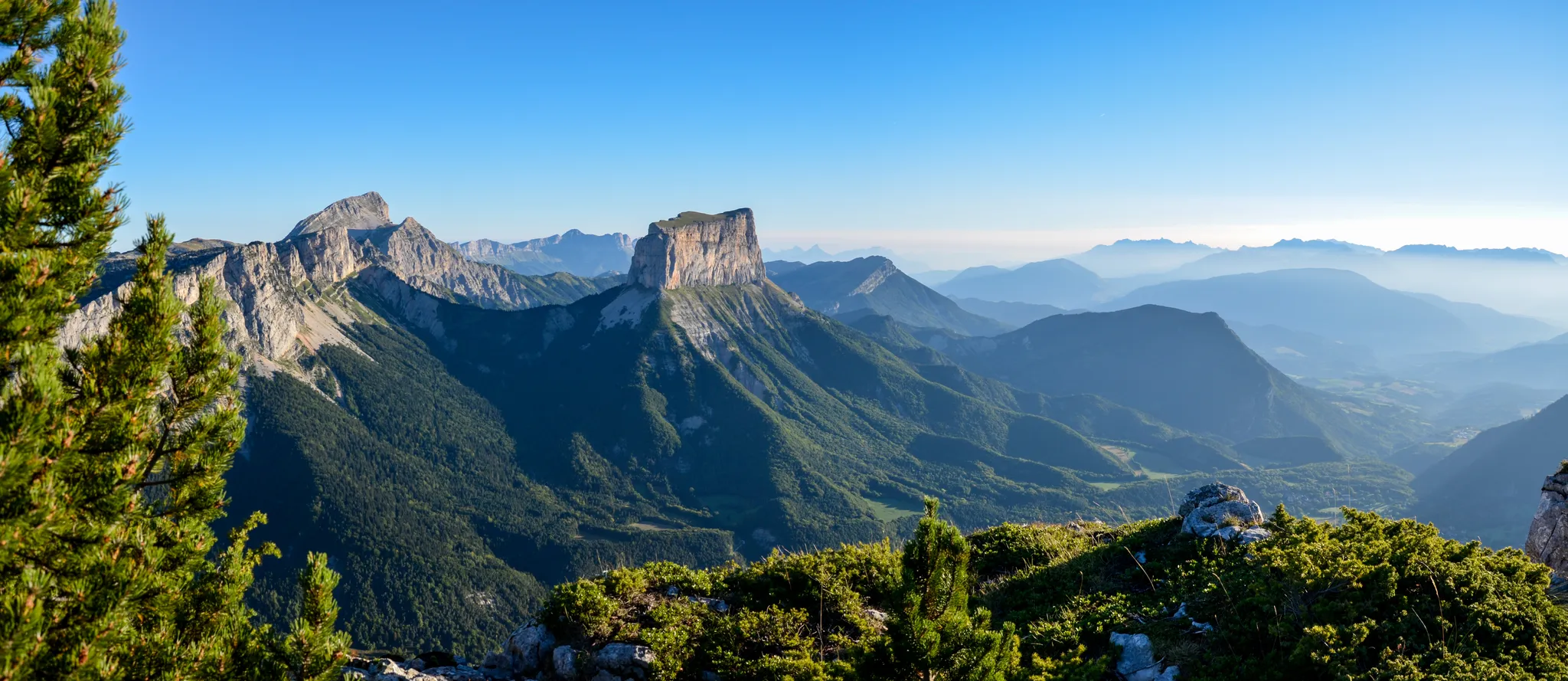
Grand Tour of the Vercors – first section
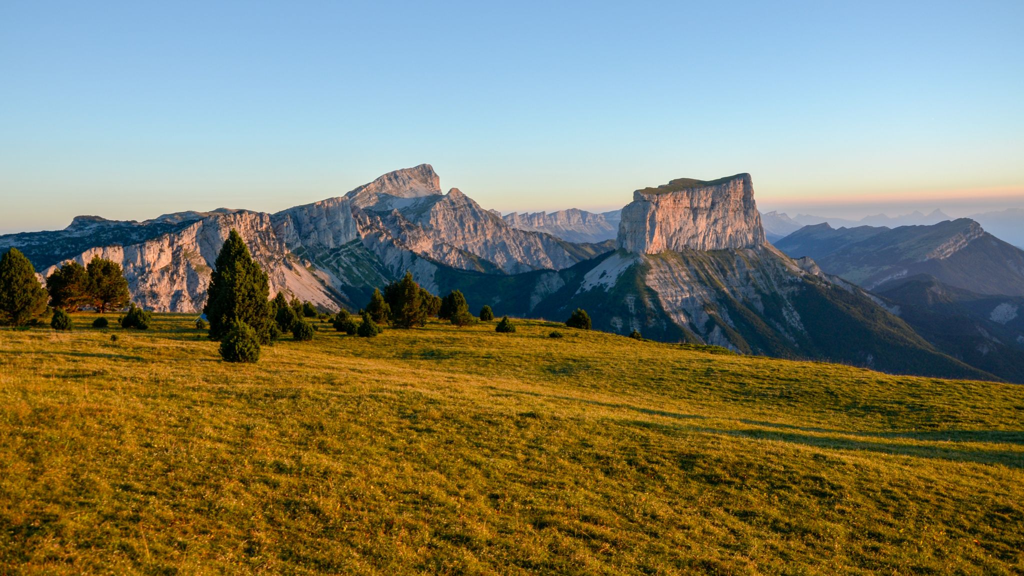
The cradle of mountaineering – Vercors Trièves' mountains

France — two weeks of hiking at its best!
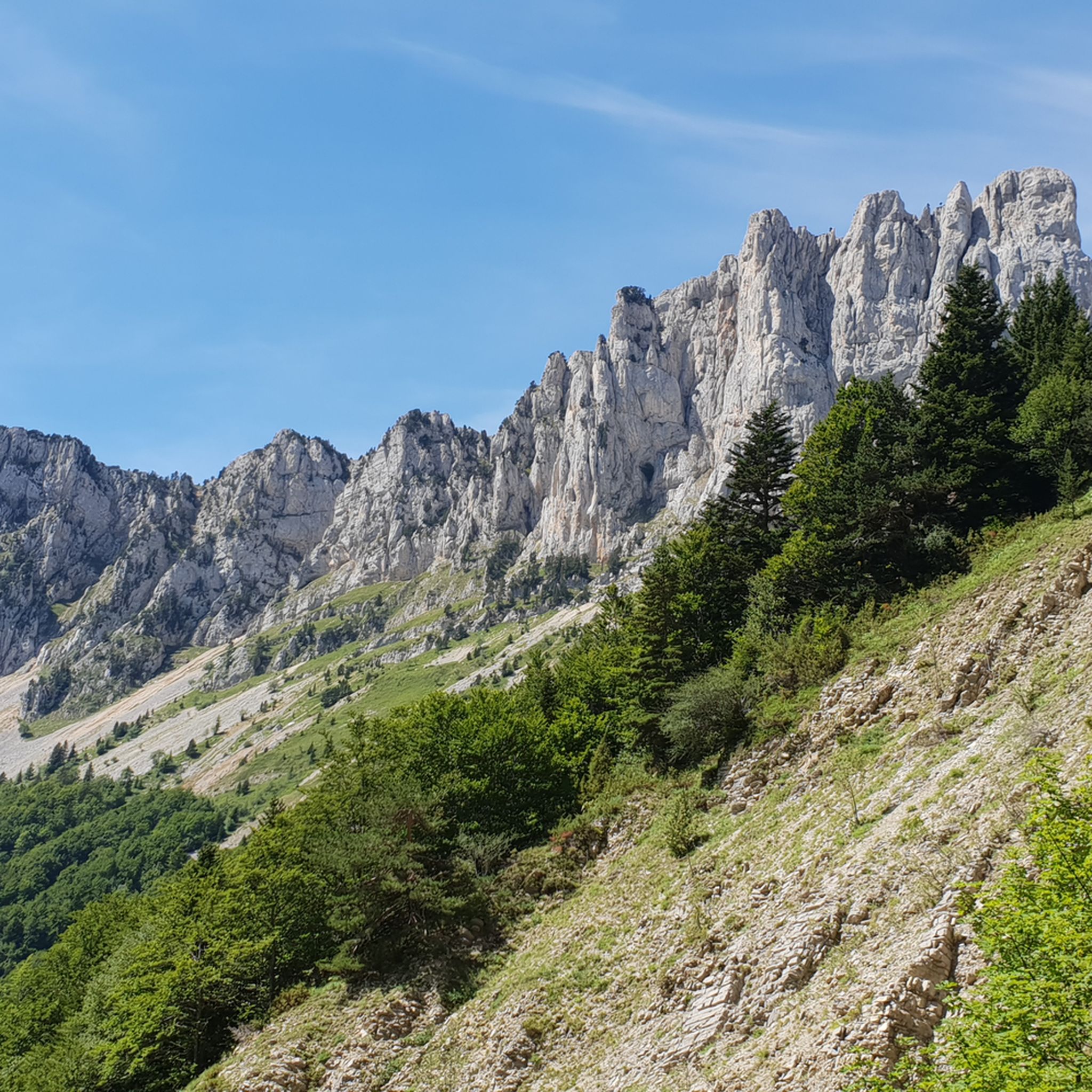
Hiking around Chichilianne
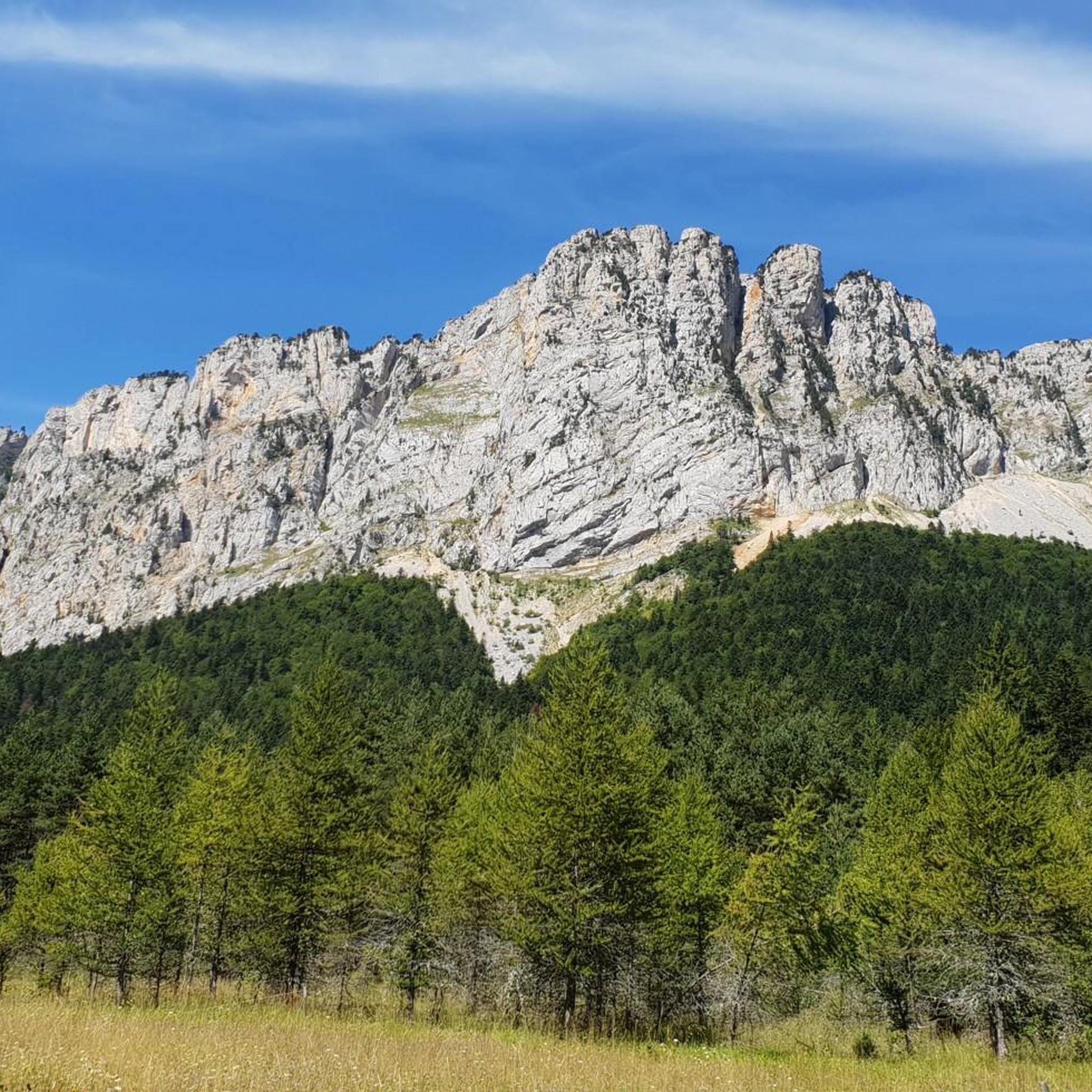
Road Cycling Routes around Chichilianne
MTB Trails around Chichilianne
Running Trails around Chichilianne
Cycling around Chichilianne

Mountain Hikes around Chichilianne


Tips from the Community

Picturesquely nestled along the Drôme River and dominated by the spectacular limestone cliffs of the Vercors massif (right at the foot of the Col du Rousset), the historic town of Die is an unmissable stop. Its historic center boasts an ancient charm with architecture dating back to the 12th century. It's the perfect place for a regenerating break among its alleys, artisan shops, and outdoor cafes.
9
0
The Col de Menée (1,457 m) is one of the most fascinating and scenic alpine passes in the Auvergne-Rhône-Alpes region, famous for being a natural and geographical border between the Vercors massif (Trièves) and Diois.
8
0
Col de Menée (1,402 m) is one of the most fascinating and scenic passes straddling the border between Drôme and Isère, right on the edge of the Vercors Regional Natural Park.
9
0
The Drôme river is the true beating heart of the French department of the same name. Characterized by clear, turquoise waters flowing between the Vercors cliffs and lavender fields, it is one of the rare rivers in Europe without artificial dams, maintaining a wild and natural character.
9
0

In the afternoon heat on the south-facing slope, very little shade. The last 3km are steep. Warning, no water at La Bâtie (cemetery gate locked), refill well before!
0
0
Trail quite chaotic and steep, more MTB than gravel. We were on a tour so loaded, we regretted it even though the view is incredible.
0
0
Frequently Asked Questions
How challenging are the gravel bike trails in Chichilianne?
The gravel bike trails around Chichilianne are generally demanding, characterized by challenging mountain terrain, significant elevation changes, and numerous passes. All 12 routes listed in this guide are rated as difficult, catering to experienced gravel bikers. For example, the Les Nonières loop from Treschenu-Creyers features over 1500 meters of elevation gain.
What are the typical distances and durations for gravel rides in Chichilianne?
Gravel rides in Chichilianne vary in length and time. You can expect routes ranging from approximately 45 km to nearly 80 km. For instance, the Col de Marignac – Route des Bouanes loop from Romeyer is about 45.8 km and typically takes around 3 hours 46 minutes, while the Vieille Route de Grimone – Col de Grimone loop from Clelles-Mens stretches to 78.5 km and can take over 7 hours to complete.
Are there any beginner-friendly gravel routes in Chichilianne?
Given the mountainous landscape and the nature of the trails, all gravel routes in Chichilianne are rated as difficult. They involve substantial elevation changes and technical sections, making them more suitable for experienced gravel bikers rather than beginners.
Where are common starting points or trailheads for gravel biking in Chichilianne?
Many popular gravel routes in the region begin from villages such as Romeyer, Treschenu-Creyers, Chamaloc, or Clelles-Mens. These locations serve as convenient starting points for exploring the surrounding mountain passes and old road networks.
What is the best time of year for gravel biking in Chichilianne?
The best time for gravel biking in Chichilianne is typically from late spring through early autumn (May to October). During these months, the weather is generally more stable, and mountain passes are clear of snow, offering optimal conditions for tackling the challenging terrain.
Can I find any loop trails for gravel biking in Chichilianne?
Yes, many of the gravel routes in Chichilianne are designed as loops, allowing you to start and finish in the same location. Examples include the Proncel Pass – Col de Rousset loop from Chamaloc and the Col de l'Allimas – Fau Pass loop from Clelles-Mens.
Are there any viewpoints or natural attractions along the gravel bike trails?
Yes, the region is rich in natural beauty and offers several viewpoints and attractions. You might encounter mountain passes like Col de l'Allimas or Col de Rousset, and even summits such as Grand Veymont or Pié Ferré (Le Dôme). These offer stunning panoramic views of the surrounding valleys and mountains.
What do other gravel bikers enjoy most about Chichilianne?
The area is highly rated by the komoot community, with an average score of 4.7 stars from over 30 reviews. Reviewers often praise the challenging mountain passes, the diverse landscapes, and the sense of adventure found on the old roads and tracks. Over 200 gravel bikers have used komoot to explore this unique terrain.
Is Chichilianne suitable for winter gravel biking?
Due to its mountainous nature and significant elevation, winter gravel biking in Chichilianne can be very challenging. Many passes may be covered in snow or ice, making conditions difficult and potentially hazardous. It's advisable to check local weather and road conditions thoroughly before planning a winter ride.
Are there any cafes or places to refuel along the gravel routes?
While specific cafes directly on every trail are not guaranteed, the routes often pass through or near small villages like Romeyer, Treschenu-Creyers, Chamaloc, and Clelles-Mens. These villages may offer opportunities for refreshments and supplies. It's always recommended to carry sufficient water and snacks, especially on longer, more remote sections.
Are the gravel trails in Chichilianne suitable for families with children?
Given that all gravel routes in Chichilianne are rated as difficult, featuring significant climbs and descents over challenging mountain terrain, they are generally not recommended for families with young children or those seeking an easy, leisurely ride. These trails are best suited for experienced riders.
Most popular routes around Chichilianne
Most popular attractions around Chichilianne

Get inspired with the komoot mobile app


Explore more
Browse the best Gravel rides in other regions.
