The best gravel rides around Saint-Martin-De-La-Cluze
4.2
(26)
132
riders
20
rides
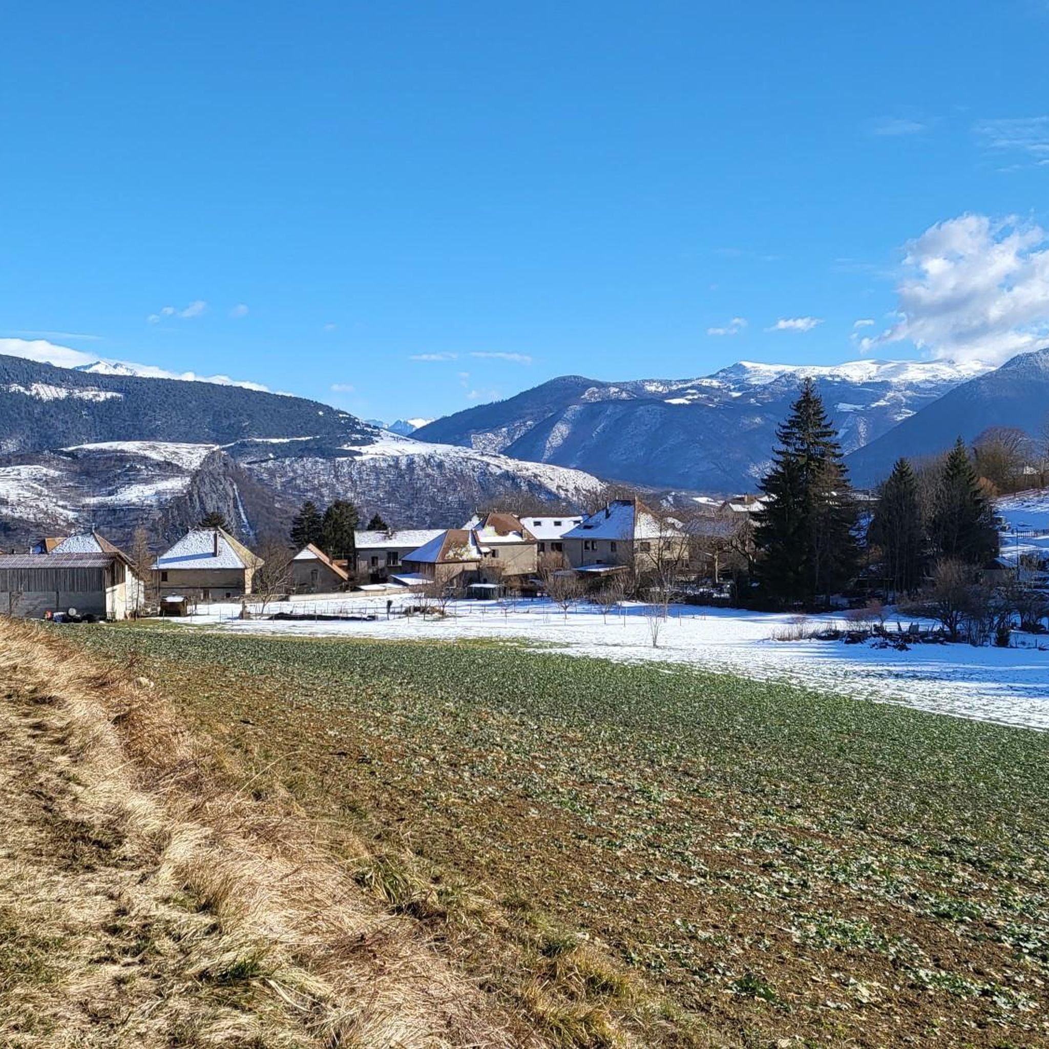
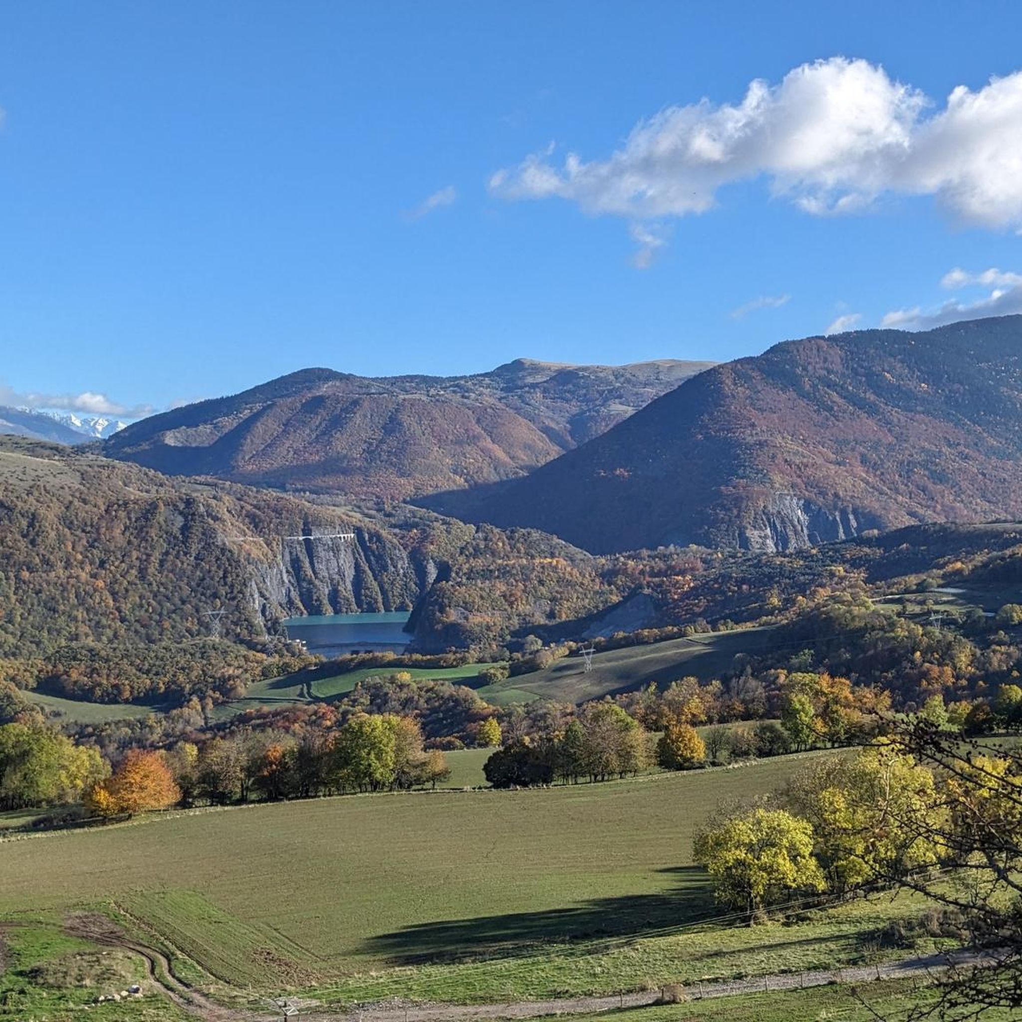
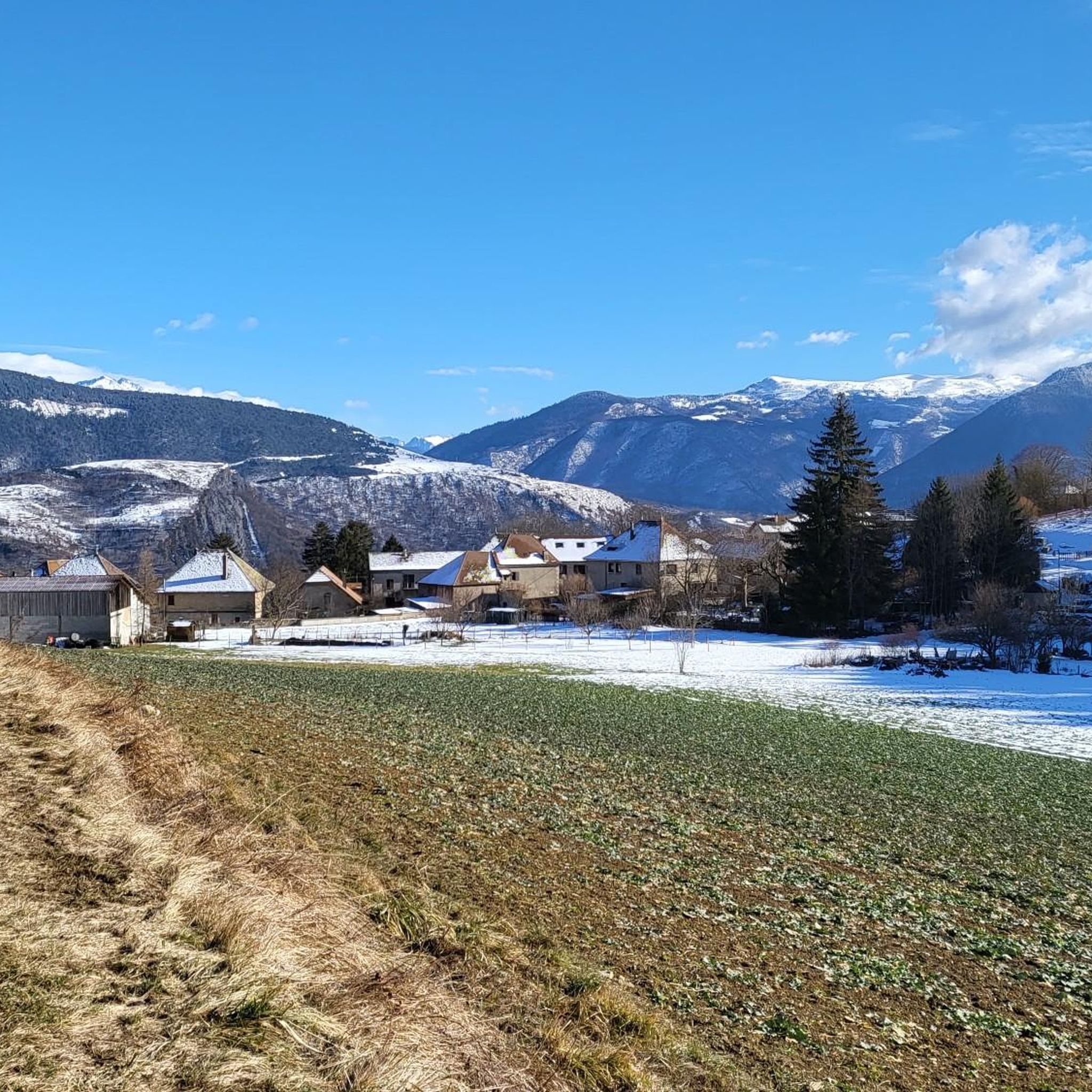
Gravel biking around Saint-Martin-De-La-Cluze offers routes through a landscape characterized by mountainous terrain, deep valleys, and significant water bodies like Lac du Sautet and Lake Monteynard. The region features a mix of challenging ascents to cols and more undulating paths along lake shores. Gravel bike trails here often traverse forested areas and open sections with expansive views.
Best gravel bike trails around Saint-Martin-De-La-Cluze
- The most popular gravel bike trail is View of Lac du Sautet – Ebron Footbridge loop from…
Last updated: November 3, 2026
4.4
(5)
18
riders
10.3km
00:55
230m
230m
Moderate gravel ride. Good fitness required. Mostly paved surfaces.
4.6
(5)
14
riders
39.0km
03:09
980m
980m
Hard gravel ride. Very good fitness required. Mostly paved surfaces.

5.0
(2)
22
riders
91.7km
06:05
1,510m
1,510m
Hard gravel ride. Very good fitness required. Mostly paved surfaces.
5.0
(2)
10
riders
42.5km
03:16
1,100m
1,100m
Hard gravel ride. Very good fitness required. Mostly paved surfaces.
4.0
(1)
2
riders
Moderate gravel ride. Good fitness required. Mostly paved surfaces.
Get access to more routes and recommendations from other explorers.
Already have an account?
Our route recommendations are based on thousands of hikes, rides, and runs completed by other people on komoot.
Start today with a free account
Your next adventure awaits.
Popular around Saint-Martin-De-La-Cluze

Tips from the Community

Superb gravel track to reach Lans-en-Vercors and Villars-de-Lans.
0
0
Joli chemin avec anciens tunnels et une pente régulière mais en vélo gravel le chemin est plutôt cassant et pas très agréable.
0
0

It's a postcard landscape: a light pebble beach, a lake shimmering in the sun, the imposing silhouette of the Obiou on the horizon.
0
0
La ViaVercors, the first mountain greenway, offers a discovery route for tourism and leisure purposes over nearly 55 km. Located in the Vercors Regional Natural Park, it connects the municipalities of the territory to form an inter-municipal link for ecomobility. Engins, Saint-Nizier-du-Moucherotte, Lans-en-Vercors, Villard-de-Lans, Corrençon-en-Vercors, Autrans-Méaudre en Vercors, no municipality is forgotten.
0
0
The Via du Tram route, from Grenoble to Saint-Nizier-du-Moucherotte, follows the historic route of the tramway line built in 1909. This path takes you on a discovery of the region's wonders and its rich history. From the Resistance and its maquisards during World War II to the unique architecture of a former Olympic ski jump, you will visit, through fields, typical hamlets, and wooded valleys, environments with multiple curiosities. The 1,200 meters of elevation gain on the route will lead you to superb viewpoints.
0
0
The Via du Tram trail, from Grenoble to Saint-Nizier-du-Moucherotte, follows the historic route of the tramway line built in 1909. This path takes you on a discovery of the region's wonders and its rich history. From the Resistance and its partisans during World War II to the unique architecture of an old Olympic ski jump, you will visit, through fields, typical hamlets, and wooded valleys, environments with multiple points of interest. The trail's 1,200 meters of elevation gain will lead you to superb viewpoints.
0
0
The Via du Tram route, from Grenoble to Saint-Nizier-du-Moucherotte, follows the historic route of the tramway line built in 1909. This path takes you to discover the wonders of the region and its rich history. From the Resistance and its maquisards during the Second World War to the unique architecture of a former Olympic ski jump, you will visit, through fields, typical hamlets and wooded valleys, environments with multiple curiosities. The 1,200 meters of elevation gain on the route will lead you to superb viewpoints.
0
0

Trail quite chaotic and steep, more MTB than gravel. We were on a tour so loaded, we regretted it even though the view is incredible.
0
0
Frequently Asked Questions
What is the general difficulty level of gravel bike trails around Saint-Martin-De-La-Cluze?
The gravel biking routes in Saint-Martin-De-La-Cluze are generally considered moderate to difficult. While there are no easy routes listed, you'll find one moderate option and 17 difficult trails, often featuring significant elevation changes and mountainous terrain. For a moderate experience, consider the View of Lac du Sautet – Ebron Footbridge loop from Treffort.
What kind of distances and elevations can I expect on gravel bike trails here?
Gravel bike trails in this region vary significantly in length and elevation. You can find shorter loops like the View of Lac du Sautet – Ebron Footbridge loop from Treffort, which is about 6.4 miles (10.3 km) with around 226 meters of ascent. Longer, more challenging routes, such as the Col de l'Arzelier – Col de l'Allimas loop from Miribel-Lanchâtre, can extend to 36.4 miles (58.7 km) with over 1500 meters of climbing.
Which gravel bike routes offer the best scenic views?
Many routes in the area boast impressive views, especially of the surrounding lakes and mountains. The Nice View – Lake Monteynard loop from Saint-Georges-de-Commiers is specifically named for its scenic vistas around Lake Monteynard. Additionally, the Col de l'Arzelier – East Balcony of the Vercors loop from Miribel-Lanchâtre provides expansive views of the Vercors massif.
Are there circular gravel bike routes available in Saint-Martin-De-La-Cluze?
Yes, many of the gravel bike routes in the Saint-Martin-De-La-Cluze area are designed as loops, allowing you to start and finish at the same point. Examples include the View of Lac du Sautet – Ebron Footbridge loop from Treffort and the Collet of Sinard, 900 m – Lac de Monteynard loop from Treffort.
What natural landmarks or attractions can I see while gravel biking?
The region is rich in natural beauty. Along your rides, you might encounter impressive features like Saint-Michel Peak, the Arc Pass, or the unique rock formation of La Pierre Percée. The routes often traverse areas with views of Lac du Sautet and Lake Monteynard, and some pass through significant mountain passes like Col de l'Arzelier.
When is the best time of year for gravel biking around Saint-Martin-De-La-Cluze?
The best time for gravel biking in Saint-Martin-De-La-Cluze is typically from late spring through early autumn (May to October). During these months, the weather is generally milder, and the trails are more likely to be dry and clear of snow, especially at higher elevations. Always check local weather conditions before heading out.
What are the typical trail conditions like for gravel biking in this region?
Gravel bike trails around Saint-Martin-De-La-Cluze feature a mix of surfaces, including gravel roads, forest paths, and some paved sections. Given the mountainous terrain, you can expect varied conditions, from smooth, well-maintained tracks to rougher, more technical sections with loose stones or uneven surfaces. Some routes may also involve steep ascents and descents.
Are there any less-trafficked gravel bike routes for a quieter experience?
While specific traffic levels aren't detailed, many of the longer, more difficult routes that venture into the Vercors massif or connect multiple cols tend to be less frequented than shorter, more accessible loops. Exploring trails that lead to higher mountain passes, such as those around Col des Deux, might offer a more secluded experience.
What do other gravel bikers enjoy the most about gravel biking in Saint-Martin-De-La-Cluze?
The komoot community highly rates the gravel biking experience here, with an average score of 4.9 stars from 9 reviews. Riders frequently praise the stunning lake views, the challenge of the mountain passes, and the diverse forested trails. The region's blend of natural beauty and varied terrain makes it a favorite among those seeking both scenic rides and physical challenges.
Where can I find parking for gravel biking trails in Saint-Martin-De-La-Cluze?
Parking availability often depends on the specific trailhead. For routes starting from towns like Treffort or Saint-Georges-de-Commiers, you can usually find public parking areas. For trails venturing into more remote areas or starting near mountain passes, designated parking might be less formal, often roadside or in small clearings. It's advisable to check the starting point of your chosen route for specific parking information.
Are there any cafes or refreshment stops along the gravel bike routes?
While the more remote sections of the trails might not have direct refreshment stops, routes that pass through or near villages and towns like Treffort, Saint-Georges-de-Commiers, or Miribel-Lanchâtre will offer opportunities for cafes, bakeries, or small shops to refuel. It's always a good idea to carry sufficient water and snacks, especially on longer rides.
Most popular routes around Saint-Martin-De-La-Cluze
Most popular attractions around Saint-Martin-De-La-Cluze

Get inspired with the komoot mobile app


Explore more
Browse the best Gravel rides in other regions.
