The best gravel rides around Le Bourg-D'Iré
4.7
(9)
85
riders
12
rides
Gravel biking around Le Bourg-D'Iré offers routes through the characteristic Anjou landscapes of the Maine-et-Loire department. The region features a network of trails along river valleys, including the Verzée, Oudon, and Mayenne, providing varied surfaces and views. Cyclists encounter hedged farmland and rural paths, creating a mosaic of natural and agricultural scenery. The topography includes relatively flat sections along riverbanks and slight elevation changes through rolling countryside, suitable for various fitness levels.
Best gravel bike trails around Le Bourg-D'Iré
- The…
Last updated: May 22, 2026
4.7
(6)
32
riders
41.8km
02:08
200m
200m
Moderate gravel ride. Good fitness required. Mostly paved surfaces. Suitable for all skill levels.
4.0
(1)
29
riders
Moderate gravel ride. Good fitness required. Mostly paved surfaces. Suitable for all skill levels.

Sign up for free
10
riders
114km
06:35
660m
660m
Hard gravel ride. Very good fitness required. Mostly paved surfaces. Suitable for all skill levels.
5.0
(1)
8
riders
60.3km
03:13
260m
260m
Moderate gravel ride. Good fitness required. Mostly paved surfaces. Suitable for all skill levels.
5.0
(1)
6
riders
27.4km
01:26
160m
160m
Moderate gravel ride. Good fitness required. Mostly paved surfaces. Suitable for all skill levels.
Get access to more routes and recommendations from other explorers.
Sign up for free
Already have an account?
Our route recommendations are based on thousands of hikes, rides, and runs completed by other people on komoot.
Start today with a free account
Your next adventure awaits.
Login or Signup


Tips from the Community


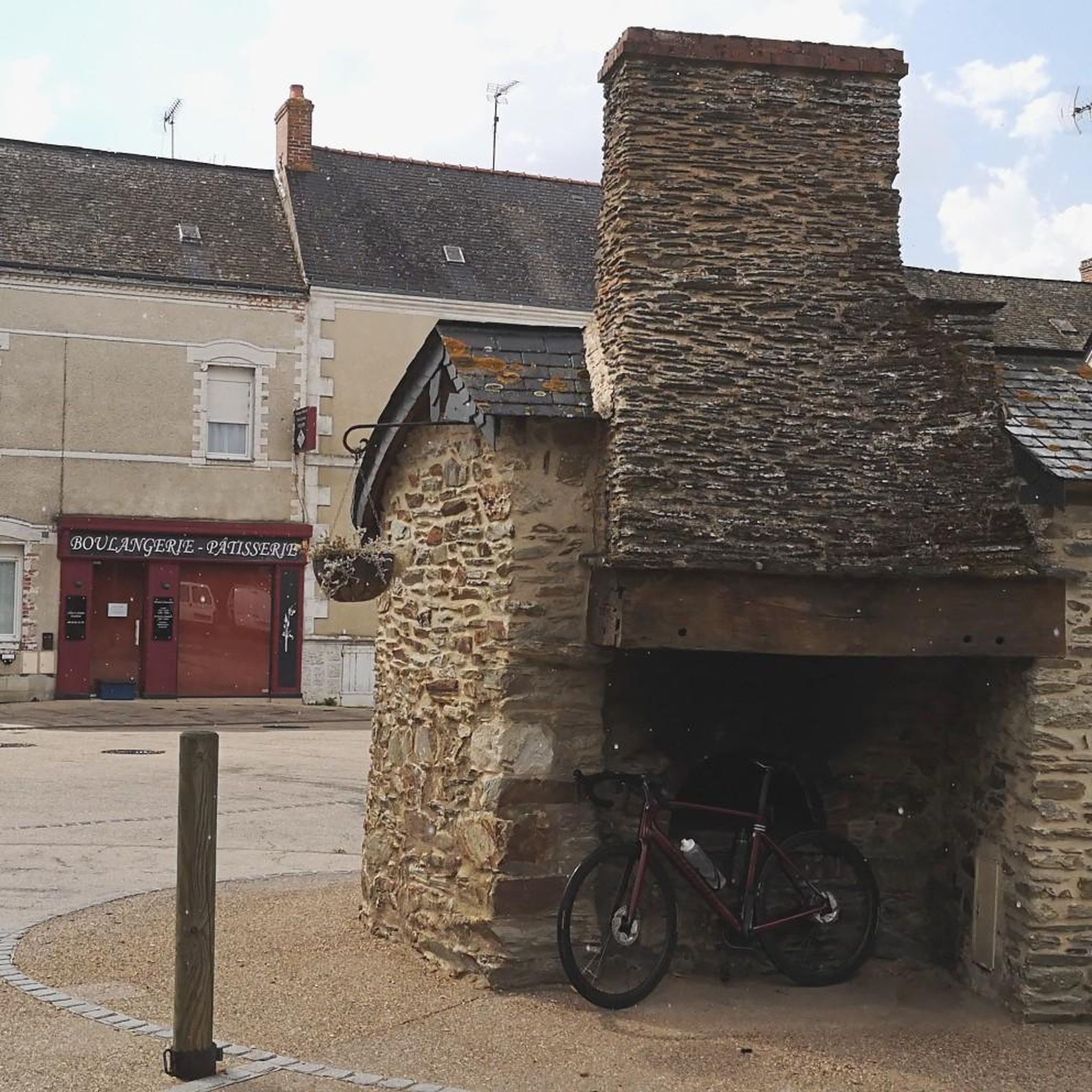
Very smooth, compact sandy surface, easy to ride on a road bike
0
0

Beautiful views, perfect for cycling or walking
0
0


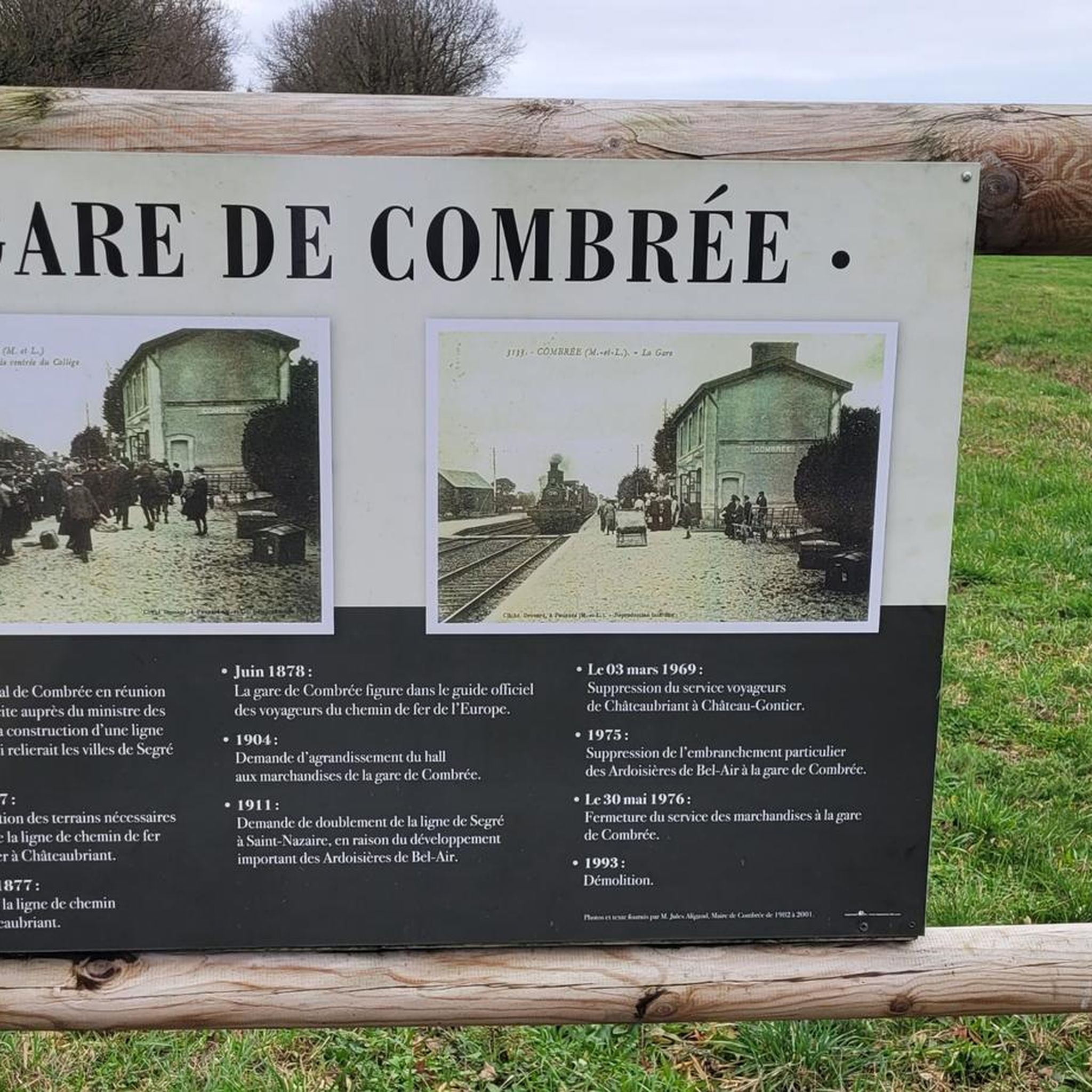
A fairly smooth old railway line with low gradients and lined with trees. Very pleasant on Gravel.
0
0

defended Anjou against the Marches of Brittany - besieged several times during the 100 Years' War
0
0

The Saint-Aubin pond, fed by the Verzée, is a pond located in the French commune of Pouancé, in the department of Maine-et-Loire. Probably before the 12th century, the Saint-Aubin pond, covering 42 hectares, is divided into the Saint-Aubin pond, the Saint-Jacques pond and the Pouancé pond. history : From the twelfth century, the priory of Madeleine had fishing tithe rights on the Pouancé ponds. At the beginning of the 13th century, the lord of Pouancé, William III, decided to establish a dike on the Verzée, thus creating the Pouancé pond, at the foot of the medieval castle[3]. A pier was built on the Saint-Aubin pond to allow the parishioners of Pouancé to access the parish church of Saint-Aubin de Pouancé. This levee is, however, often submerged[4]. In 1977, the commune of Pouancé developed the body of water into a nautical base by building a beach and a campsite nearby. source: https://fr.m.wikipedia.org/wiki/%C3%89tang_de_Saint-Aubin
0
0

The Saint-Aubin pond offers a peaceful and natural landscape. This body of water, surrounded by lush greenery, is a haven for local species and migratory birds. Ideal for a stopover!
0
0
Frequently Asked Questions
What kind of terrain can I expect on gravel bike trails around Le Bourg-D'Iré?
The gravel bike trails in Le Bourg-D'Iré offer a diverse mix of surfaces. You'll encounter unpaved and lightly paved roads, often following river valleys like the Verzée, Oudon, and Mayenne. The region is characterized by its bocage (hedged farmland) and rural paths, providing a mosaic of natural and agricultural landscapes. While generally gentle, the topography includes both relatively flat sections along riverbanks and slight elevation changes through rolling countryside.
Are there gravel routes suitable for beginners or families in Le Bourg-D'Iré?
Yes, the area offers routes suitable for varying skill levels. While most routes are rated moderate, there is at least one easy route available. For a moderate option that explores the river valley landscape, consider the Blue Bridge over the Oudon in Segré – Green route loop from Segré, which is 41.8 km long. These types of paths are generally well-suited for families or those new to gravel biking.
What are some longer gravel biking routes available in the region?
For those seeking longer adventures, Le Bourg-D'Iré and its surroundings offer several extended routes. A notable option is the Mirwault Lock – Mayenne Viaduct loop from L'Hôtellerie-de-Flée, a challenging 114.4 km trail that leads through river valleys and rural areas, typically taking around 8 hours to complete. Another substantial route is the Hippodrome du Lion-d'Angers – Blue Bridge over the Oudon in Segré loop from Segré, a moderate 67.6 km path featuring varied terrain.
What natural features or landmarks can I see along the gravel bike trails?
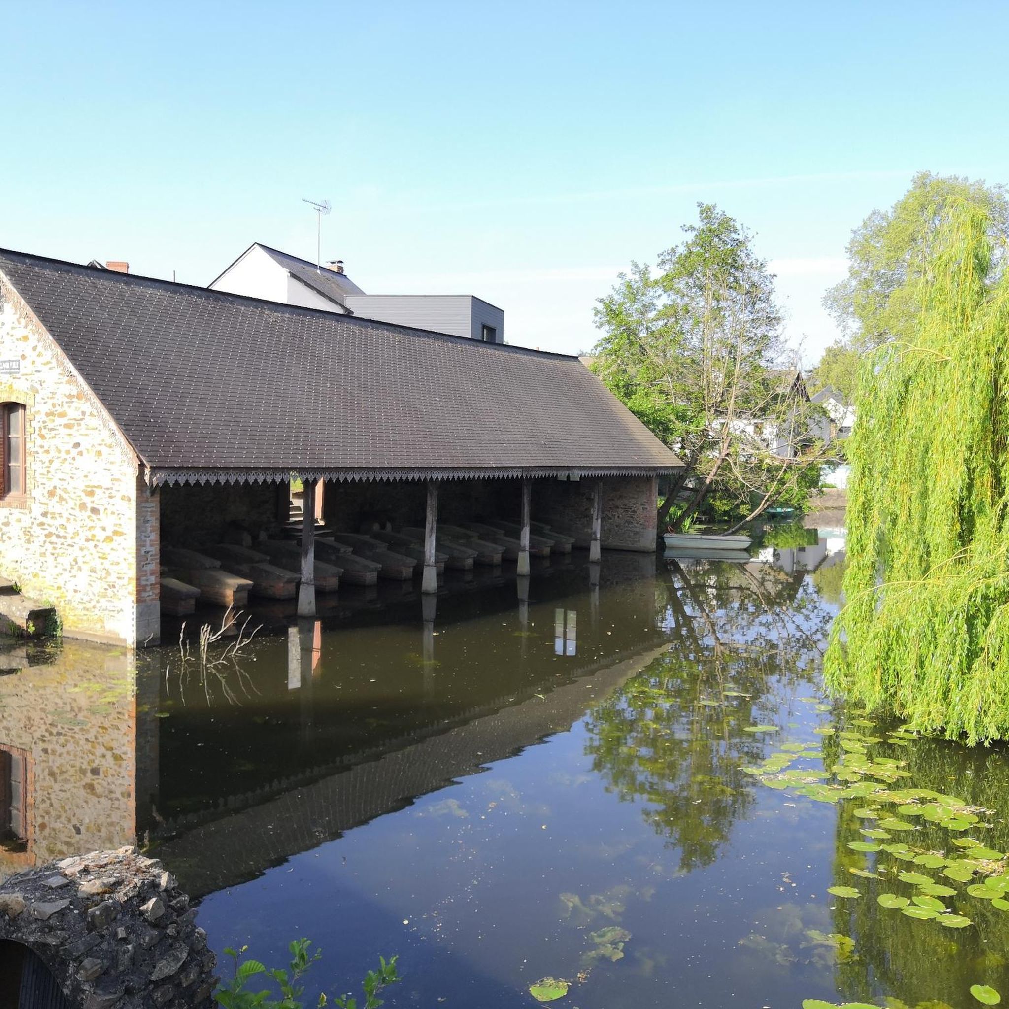
The trails often follow scenic river valleys and pass through hedged farmland. You can also incorporate cultural stops into your rides. Within Le Bourg-D'Iré, you might encounter the historic The Washhouse of Bourg-d'Iré. Further afield, you could visit the La Mine Bleue, or enjoy the tranquility of Saint-Blaise Pond. Many routes also feature bridges over the rivers, such as the Blue Bridge over the Oudon in Segré.
What is the best time of year for gravel biking in Le Bourg-D'Iré?
The Anjou region generally offers pleasant conditions for cycling through much of the year. Spring and autumn are often ideal, with milder temperatures and beautiful scenery as the landscape changes. Summer can also be enjoyable, especially along the shaded river paths, but it's always wise to check local weather forecasts before heading out.
Are there any circular gravel biking routes in the area?
Yes, many of the gravel routes around Le Bourg-D'Iré are designed as loops, allowing you to start and finish in the same location. For example, the Segré – Blue Bridge over the Oudon in Segré loop from Bel-Air de Combrée is a moderate 28.6 km circular route. Another option is the Blue Bridge over the Oudon in Segré – Étang de Saint-Aubin loop from Segré, a moderate 61.3 km loop.
What do other gravel bikers say about the trails in Le Bourg-D'Iré?
The gravel biking routes in Le Bourg-D'Iré are highly rated by the komoot community, with an average score of 4.7 stars from more than 10 reviews. Over 80 gravel bikers have used komoot to explore the varied terrain, often praising the scenic river valleys, the tranquility of the rural paths, and the mix of surfaces that define the Anjou landscape.
Is public transport available to reach the gravel biking routes?
Le Bourg-D'Iré is a rural commune, and while local bus services might connect some villages, direct public transport options specifically for accessing trailheads with a bike may be limited. It's generally recommended to travel by car to reach starting points, especially for routes that begin outside the immediate village center. Check local transport schedules for the most up-to-date information.
Where can I find parking for my car when starting a gravel bike ride?
In Le Bourg-D'Iré and surrounding villages, you can typically find public parking areas, often near town centers, churches, or local amenities. For routes starting in larger towns like Segré-en-Anjou Bleu, there are usually designated parking lots. Always look for official parking signs and be mindful of local regulations.
Are there cafes or places to stop for refreshments along the routes?
While the routes often pass through rural areas, many will take you through or near charming villages where you can find local cafes, bakeries, or small shops for refreshments. Larger towns like Segré-en-Anjou Bleu, which is a common starting point for several routes, offer more extensive options for food and drink. It's a good idea to plan your stops in advance, especially on longer rides.
How many gravel bike trails are available around Le Bourg-D'Iré?
There are over 20 gravel bike trails available around Le Bourg-D'Iré, offering a wide range of options for different preferences and skill levels. These routes explore the characteristic Anjou landscapes, including river valleys, hedged farmland, and rural paths.
Are the gravel bike trails in Le Bourg-D'Iré suitable for dogs?
Many rural paths and trails in France are generally accessible for dogs, especially if kept on a leash. However, specific regulations can vary, particularly in nature reserves or private land. Given the routes often pass through agricultural areas and near livestock, it's always best to keep dogs under strict control. Always carry water for your dog and be prepared to clean up after them.
Most popular routes around Le Bourg-D'Iré
Most popular attractions around Le Bourg-D'Iré

Get inspired with the komoot mobile app


Explore more
Browse the best Gravel rides in other regions.
