The best gravel rides around Beaucroissant
4.2
(12)
40
riders
9
rides
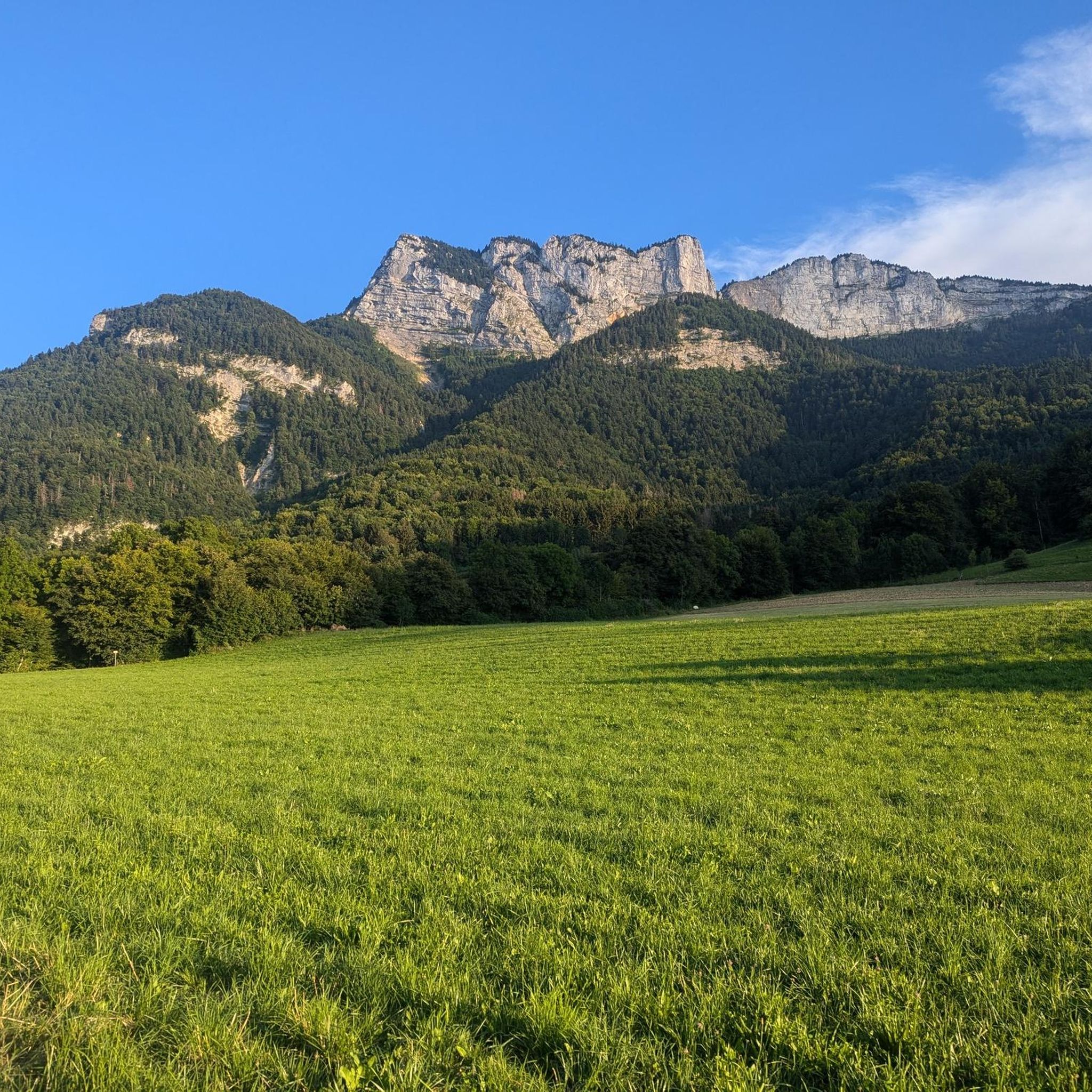
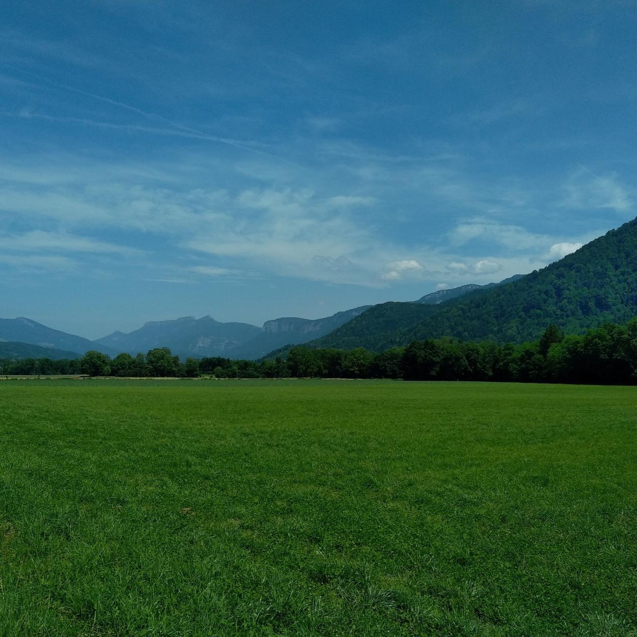
Gravel biking around Beaucroissant features a landscape characterized by varied terrain, including routes with significant elevation gain and paths offering views of the Vercors massif. The region provides a mix of forest trails, open country, and routes that pass by local landmarks. Gravel bike trails around Beaucroissant offer diverse experiences, from moderate loops to more challenging ascents. The area's position between hills and plains creates a varied landscape suitable for gravel biking, combining ascents with stretches across open areas.
Best…
Last updated: October 5, 2026
5.0
(3)
4
riders
31.9km
02:05
120m
120m
Moderate gravel ride. Good fitness required. Mostly paved surfaces. Suitable for all skill levels.
3.0
(1)
7
riders
34.4km
02:06
260m
260m
Moderate gravel ride. Good fitness required. Mostly paved surfaces. Suitable for all skill levels.

3
riders
48.6km
03:33
920m
920m
Hard gravel ride. Very good fitness required. Mostly paved surfaces. Suitable for all skill levels.
4.0
(2)
9
riders
56.4km
03:24
760m
760m
Hard gravel ride. Very good fitness required. Mostly paved surfaces. Suitable for all skill levels.
5.0
(2)
6
riders
Easy gravel ride. Great for any fitness level. Mostly paved surfaces. Suitable for all skill levels.
Get access to more routes and recommendations from other explorers.
Already have an account?
Our route recommendations are based on thousands of hikes, rides, and runs completed by other people on komoot.
Start today with a free account
Your next adventure awaits.

Tips from the Community

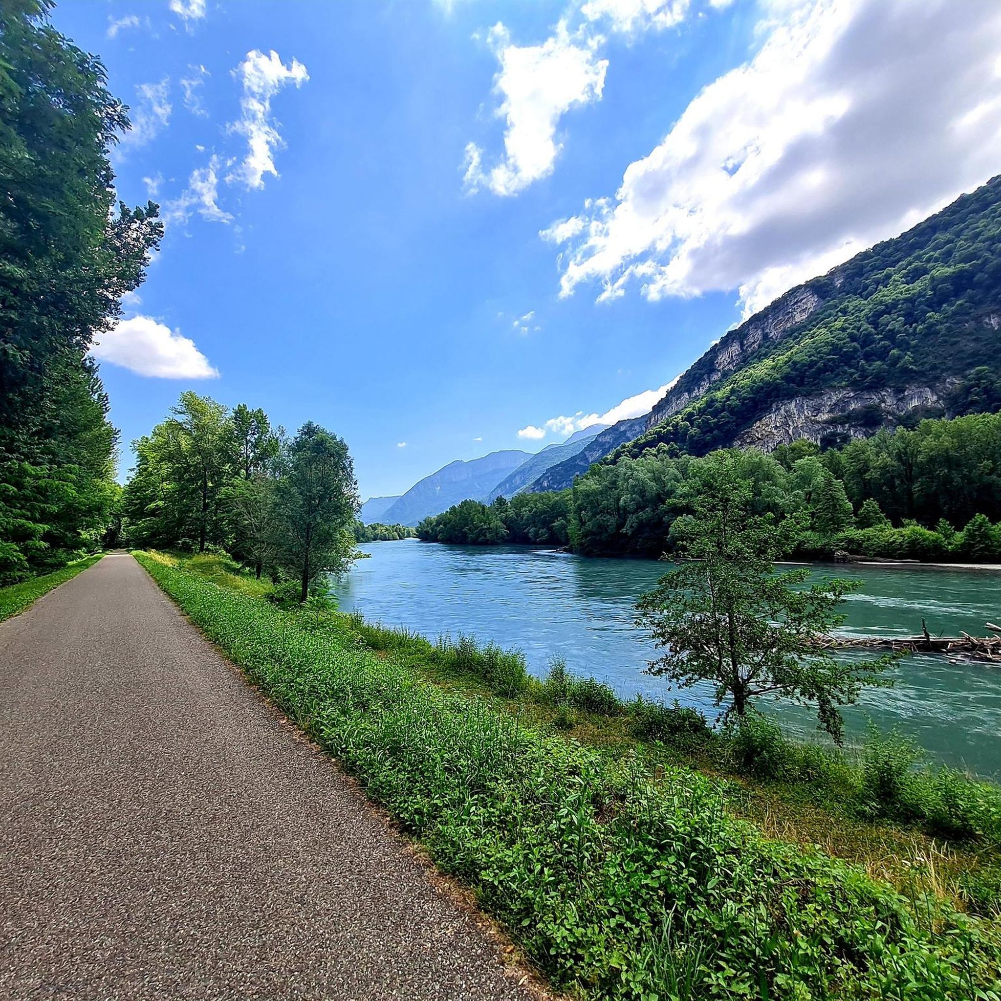
La Véloroute de l'Isère, officially integrated into the national route La Belle Via (referenced under number V63), is a cycling route of over 200 kilometers that runs along the Isère river. It connects the foothills of Savoie to the Drôme (connection with ViaRhôna), by crossing the entire department of Isère and its capital, Grenoble.
0
0
La Véloroute de l'Isère, officially integrated into the national route La Belle Via (referenced under number V63), is a cycling route of over 200 kilometers that runs along the Isère river. It connects the foothills of Savoie to the Drôme (connection with ViaRhôna), crossing the entire department of Isère and its capital, Grenoble.
0
0
The La Véloroute de l'Isère, officially integrated into the national route La Belle Via (referenced under number V63), is a cycling route of over 200 kilometers that runs along the Isère river. It connects the foothills of Savoie to the Drôme (connection with ViaRhôna), by crossing the entire department of Isère and its capital, Grenoble.
0
0
La Belle Via (Green Way): The bridge is an unmissable landmark for cyclists. A flat and shaded cycle route, the Green Way from Saint-Gervais to Pont-d'Oxford, follows the Isère river up to its confluence with the Drac, offering a superb view of the cliffs.
0
0
It is a reinforced concrete "Bow-string" bridge. Designed by the Parisian engineering firm Pelnard-Considère, its construction took place between 1950 and 1952 to replace a previous structure, relying on nearly 150 foundation piles for each abutment.
0
0
The estate has its roots in an ancient fortified house built in the second half of the 13th century. It notably served as a summer residence for the lords of Tullins. The building was extensively remodeled in the 16th century, then in the 18th century (when it took the name Château des Cordes), before its facade was modified in the 19th century. The castle has been protected as a historical monument since 1977 (partial inscription, and classification for its south tower).
0
0

Great straight in soft gravel. The route remains pleasant with views of the Chartreuse while staying on the flat.
0
0
Passage during the market, there was a nice activity.
0
0
Frequently Asked Questions
How many gravel bike trails are available around Beaucroissant?
There are over 15 gravel bike trails around Beaucroissant, offering a variety of experiences. These include 4 easy routes, 6 moderate routes, and 6 more challenging options, catering to different skill levels.
Are there any easy or beginner-friendly gravel bike trails in Beaucroissant?
Yes, Beaucroissant offers several easy gravel bike trails suitable for beginners. One popular moderate option is the Gravel loop from Sillans, which is 19.7 miles (31.7 km) long and takes about 2 hours 5 minutes to complete, featuring minimal elevation gain.
What is the best season for gravel biking in Beaucroissant?
The region around Beaucroissant is generally pleasant for gravel biking from spring through autumn. Spring offers lush greenery, while autumn provides beautiful foliage. Summers are typically warm, but it's always wise to check local weather forecasts, especially for potential afternoon showers.
Are there any challenging gravel bike routes for experienced riders?
Absolutely. For experienced gravel bikers seeking a challenge, the Faucherand gallery – Old streetcar track loop from Moirans-Galifette is a difficult 58.3 miles (93.8 km) route with significant elevation gain of almost 1,200 meters. Another demanding option is the Thousand Martyrs Pass – Col des Mille Martyrs loop from Chirens, which is 32.4 miles (52.2 km) long and includes substantial climbing.
Can I find circular gravel bike routes in the area?
Yes, many of the gravel bike trails around Beaucroissant are circular, allowing you to start and end at the same point. Examples include the moderate View of the Vercors massif – Saint-Jean-de-Chépy Castle loop from Vourey and the Lac de Paladru – Lake Paladru loop from Chirens.
What kind of scenic viewpoints can I expect on gravel bike trails near Beaucroissant?
Many routes offer picturesque views, particularly of the Vercors massif. The View of the Vercors massif – Saint-Jean-de-Chépy Castle loop from Vourey is specifically known for its scenic vistas. You can also find highlights like the View of the Vercors massif along various paths.
Are there any family-friendly gravel biking options around Beaucroissant?
While specific 'family-friendly' designations aren't always explicit, the easier and moderate circular routes with less elevation gain are generally suitable for families. Consider routes like the Gravel loop from Sillans for a manageable distance and elevation.
What are some interesting landmarks or attractions to see along the gravel bike trails?
The region offers several points of interest. You might pass by Lake Paladru, a beautiful lake where you can find beaches like Charavines Beach. Other highlights include the Saint-Pierre Church and the Dead monk cross, offering glimpses into local history and nature.
What do other gravel bikers enjoy most about the trails in Beaucroissant?
The gravel bike trails around Beaucroissant are highly rated by the komoot community, with an average score of 4.25 stars from 7 reviews. Riders often praise the varied terrain, which includes forest sections and open country, as well as the rewarding views of the Vercors massif.
Are the gravel trails in Beaucroissant suitable for dog walking alongside biking?
Many natural trails in the Beaucroissant area are generally dog-friendly, but it's always recommended to keep dogs on a leash, especially in areas with wildlife or near roads. Be mindful of other trail users and ensure your dog is well-behaved and doesn't disturb livestock or local fauna.
What are the trail conditions like after rain in Beaucroissant?
After rain, some gravel trails, especially those in forest sections or with natural surfaces, can become muddy or slippery. Trails with a more compacted gravel base tend to drain better. It's always advisable to check recent local weather and trail reports before heading out, and be prepared for potentially wet conditions.
Is there public transport access to the gravel biking trails in Beaucroissant?
Public transport options in rural areas like Beaucroissant can be limited. While some villages that serve as starting points for routes might have bus connections, direct access to trailheads via public transport is not always guaranteed. It's best to research specific bus routes to your chosen starting point in advance.
Are there any hidden gem gravel routes near Beaucroissant that are less known?
While the guide highlights popular routes, the region's extensive network means there are always quieter paths to discover. Exploring the smaller roads and forest tracks connecting the main routes can often lead to peaceful, less-trafficked sections. Using komoot's map to scout for less-used paths can reveal some true hidden gems.
Most popular routes around Beaucroissant
Most popular attractions around Beaucroissant

Get inspired with the komoot mobile app


Explore more
Browse the best Gravel rides in other regions.
