The best gravel rides around Hauterive-La-Fresse
4.8
(5)
62
riders
8
rides
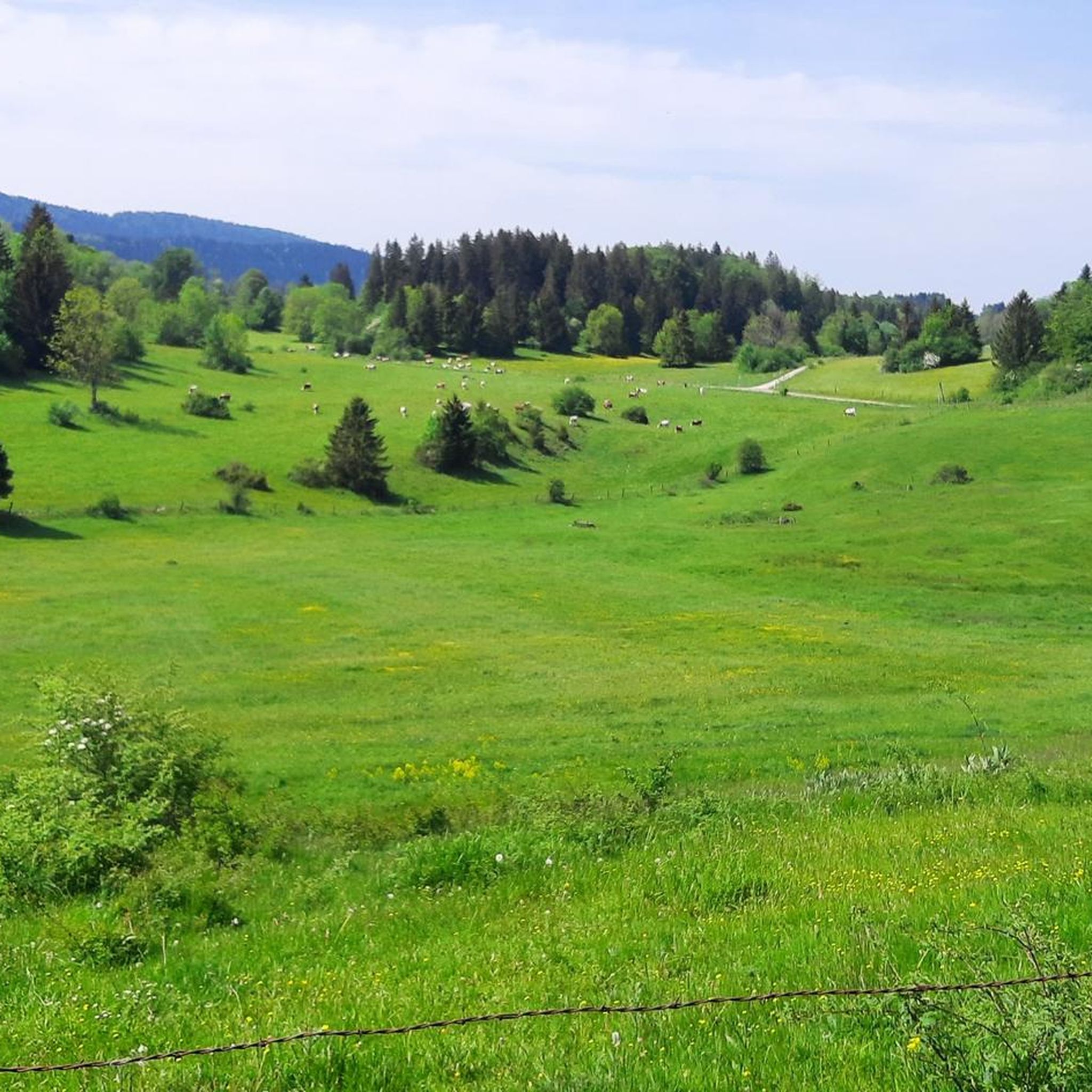
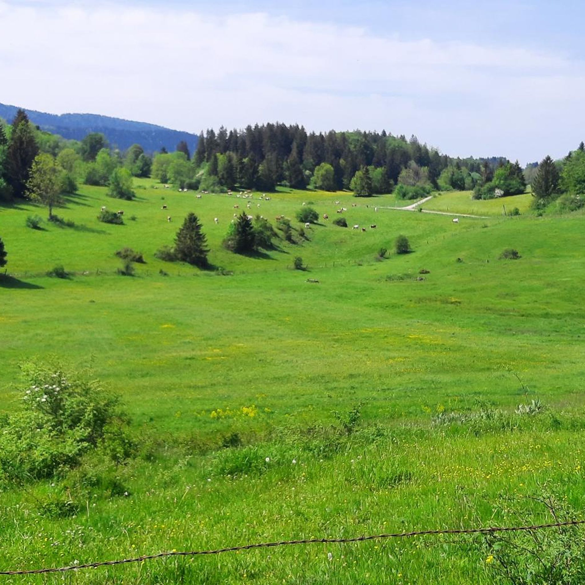
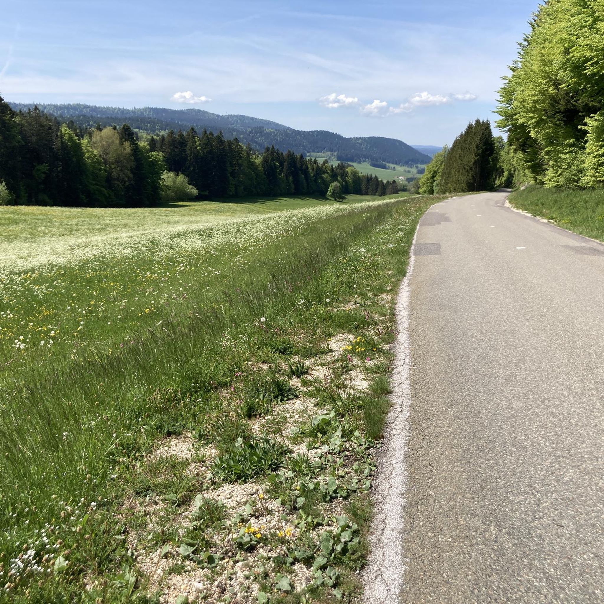
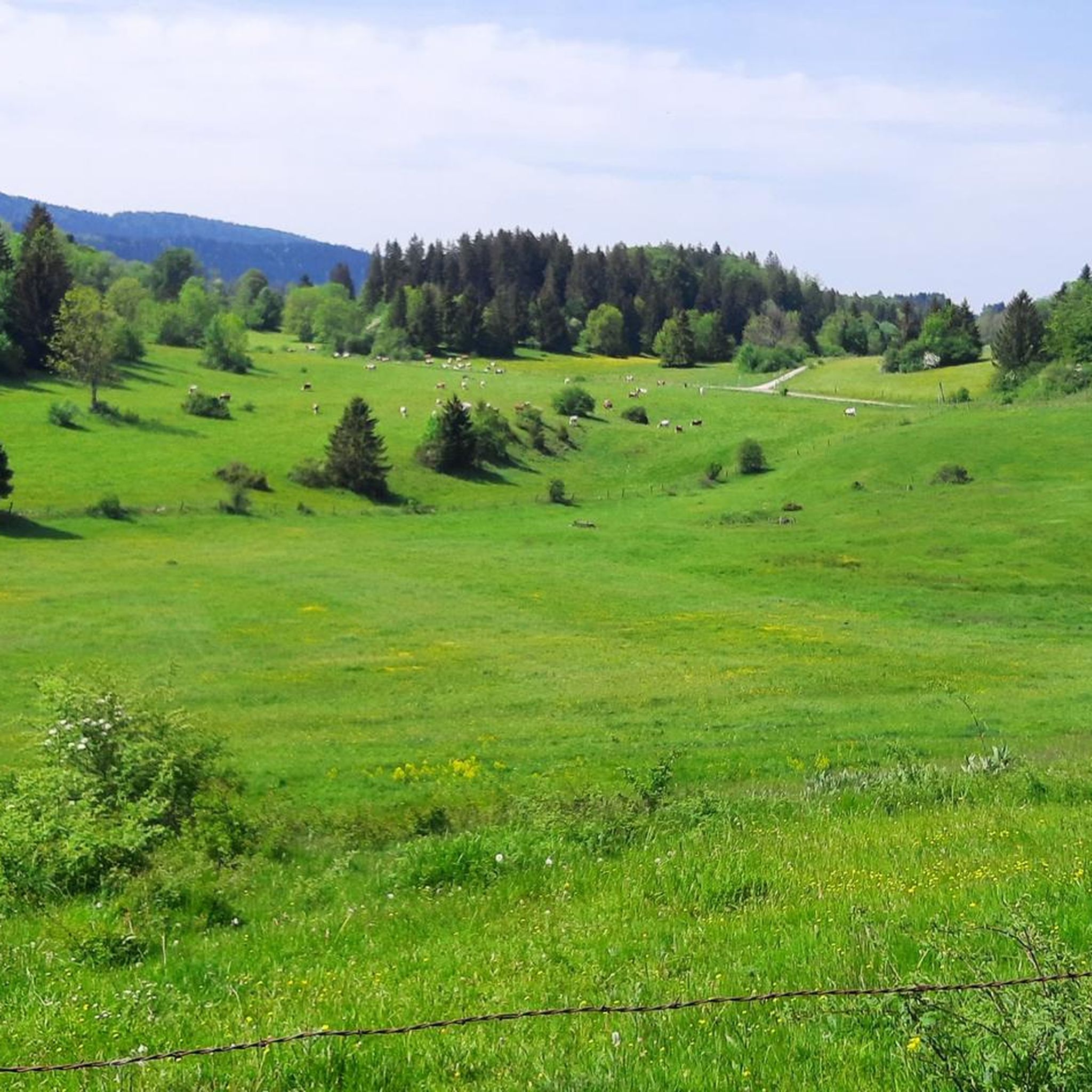
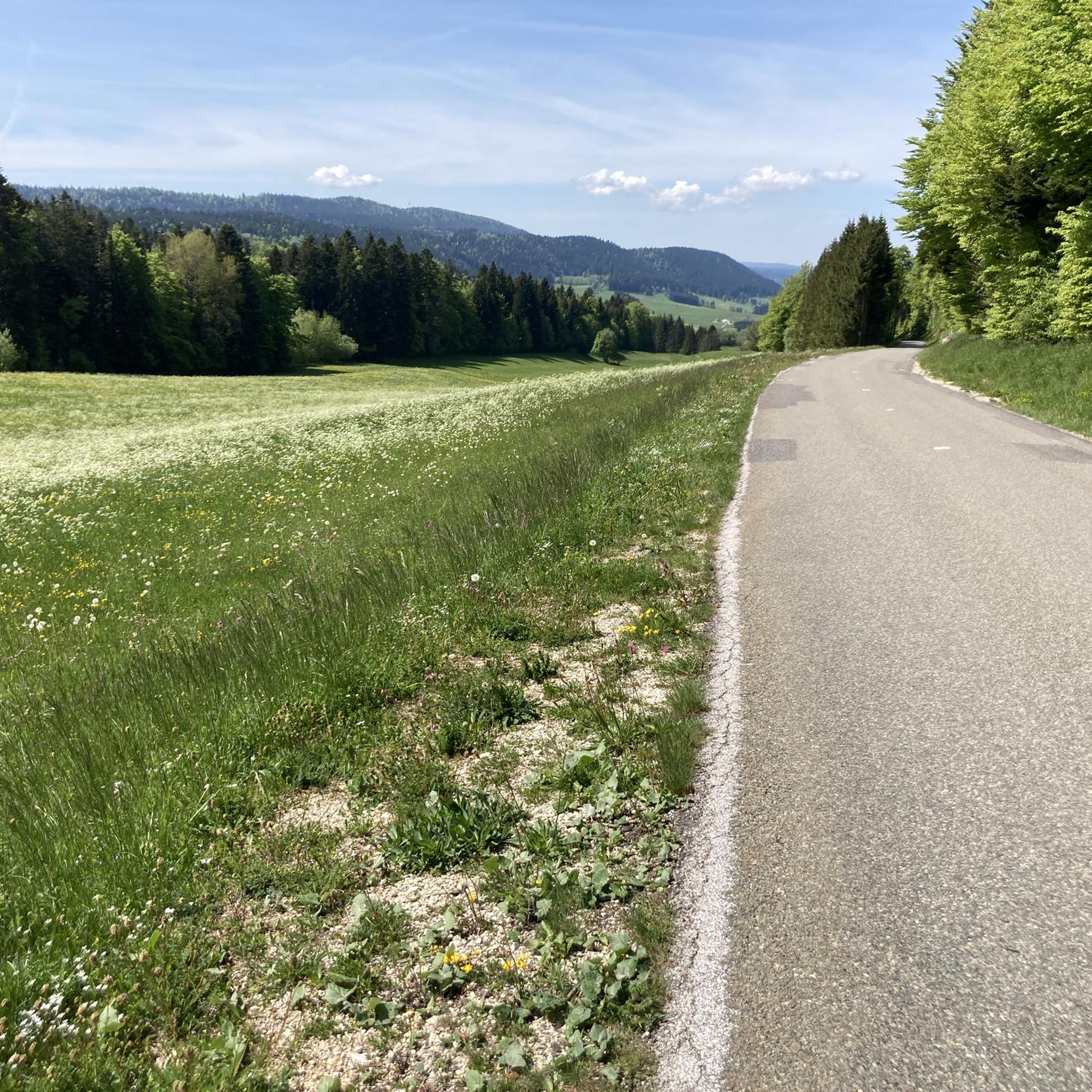
Gravel biking around Hauterive-La-Fresse, located in the Doubs department of the French Jura mountains, offers diverse terrain for outdoor enthusiasts. The region features varied landscapes, including extensive fir forests, sunny pastures, and significant geological formations. Riders can navigate through valleys, plateaus, and along lakes, with routes often providing views of the Jura chain and the Swiss mountains. The area is characterized by a mix of natural environments, from rolling hills to more challenging ascents.
Best gravel bike trails around Hauterive-La-Fresse
…Last updated: May 21, 2026
5.0
(1)
4
riders
17.1km
01:17
190m
190m
Moderate gravel ride. Good fitness required. Mostly paved surfaces. Suitable for all skill levels.
5.0
(2)
13
riders
65.2km
04:32
1,190m
1,190m
Hard gravel ride. Very good fitness required. Mostly paved surfaces. Suitable for all skill levels.

Sign up for free
10
riders
40.3km
02:30
250m
250m
Moderate gravel ride. Good fitness required. Mostly paved surfaces. Suitable for all skill levels.
2
riders
20.5km
01:45
410m
410m
Moderate gravel ride. Good fitness required. Mostly paved surfaces. Suitable for all skill levels.
5.0
(1)
3
riders
42.9km
03:02
730m
730m
Hard gravel ride. Very good fitness required. Mostly paved surfaces. Suitable for all skill levels.
Get access to more routes and recommendations from other explorers.
Sign up for free
Already have an account?
Our route recommendations are based on thousands of hikes, rides, and runs completed by other people on komoot.
Start today with a free account
Your next adventure awaits.
Login or Signup
Tips from the Community


This path along the edge of fields and the forest leading to Cornabey is very pleasant. You cross a small bridge to span the stream.
0
0

From here you have a wonderful view of the lake, which lies in a hollow surrounded by green pastures and forests.
1
0

Beautiful greenway on the old railway line in the heart of the natural environment of Haut-Doubs. The views overlooking the Doubs valley are magnificent.
1
0

The Vierge de Vuillecin is a memorial located in the charming village of Vuillecin. During the Second World War, Vuillecin was spared by the enemy. As a sign of gratitude, a monument in honor of the Virgin was built around 1946 by Mr Guillin Léon from Mouthier. Renovation: In June 2018, the Vierge was renovated by AVPEC 2018. The Virgin was given a new coat of paint and now shines under the sun like never before!
8
0
Built from 1801 to 1804. Located in the diocese of Besançon, in the deanery of Haut-Doubs forestier. It is served by the Parish of Saint Pierre of the Pays de Pontarlier. The abbots are Fathers François Boiteux and Philippe Nguyen-Bathong. It is listed in the Mérimée database during the 1978 inventory.
8
0


Frequently Asked Questions
What kind of terrain can I expect on gravel bike trails around Hauterive-La-Fresse?
The region offers a diverse mix of landscapes, perfect for gravel biking. You'll encounter extensive fir forests, sunny pastures, and significant geological formations. Routes often traverse valleys, plateaus, and wind along lakes, providing views of the Jura chain and sometimes even the Swiss mountains. Expect varied surfaces, including forest tracks, dirt paths, and some paved sections, with a balance of rolling hills and more challenging ascents.
How many gravel bike trails are available in the Hauterive-La-Fresse area?
There are 10 gravel bike trails listed in the Hauterive-La-Fresse area, offering a range of experiences from moderate to difficult. This provides plenty of options for different skill levels and preferences.
Are there any long-distance gravel routes or loops for experienced riders?
Yes, for experienced riders seeking a longer challenge, consider the difficult Col sur le Mont – Lac de Saint-Point loop from Verrières-de-Joux. This route spans over 105 km and features substantial elevation gain, offering a comprehensive tour of the region's diverse scenery.
What are some notable natural features or viewpoints I can see while gravel biking?
The region is rich in natural beauty. You can experience breathtaking 360-degree panoramic views from Mont Pelé, including the high chain of the Jura and, on clear days, Mont Blanc. Other notable features include the Grotte aux Fées, Rochers du Cerf, and the impressive Saut du Doubs in the broader vicinity. Some routes pass by highlights like Col sur le Mont or offer views of Mont Châteleu.
Are there any family-friendly gravel biking options in Hauterive-La-Fresse?
While specific 'easy' routes are not listed, the region offers a mix of moderate and difficult trails. For families, moderate routes like Gilley at the end of my dreams (17.1 km) or Saint-Bénigne Church – Pontarlier loop from Pontarlier (20.8 km) could be suitable, depending on the family's experience and fitness levels. These routes offer a balanced experience through the local landscape without extreme difficulty.
What is the best time of year for gravel biking in the Jura mountains around Hauterive-La-Fresse?
The best seasons for gravel biking in this region are spring and summer, when wildflowers bloom and temperatures are mild. Autumn is also highly recommended for its vibrant foliage, offering a beautiful backdrop to your rides. Winter can be challenging due to snow and colder conditions.
What kind of cultural or historical attractions can I explore near the gravel trails?
Beyond the natural landscapes, the area offers several cultural and historical points of interest. You can visit the imposing Château de Joux, the Abbaye de Montbenoît, or the Saint-Bénigne Church. The region is also known for its traditional Comtois farms and cheese dairies, offering a glimpse into local heritage.
Are there any circular gravel bike routes available?
Yes, many of the gravel routes in the area are designed as loops. For example, the difficult Col sur le Mont – Bridge over the Doubs loop from Pays-de-Montbenoît is a substantial circular route, and the moderate Pontarlier – Saint-Bénigne Church loop from Pontarlier also offers a circular experience.
What do other gravel bikers say about the trails in Hauterive-La-Fresse?
The gravel biking routes in Hauterive-La-Fresse are highly rated by the komoot community, with an average score of 4.7 stars from over 4 reviews. Riders often praise the varied terrain, the beautiful Jura mountain landscapes, and the extensive network of paths through forests and open pastures.
Are there any interesting natural monuments or caves to discover?
Absolutely. The region is home to several fascinating natural monuments. You can explore the Glacière de Monlési Ice Cave, or discover the Karst Spring of the Areuse and its Source. There are also unique rock formations in the Parc naturel régional du Doubs Horloger.
What is the typical elevation gain on gravel bike trails in this area?
The elevation gain varies significantly depending on the route's difficulty and length. Moderate trails might have around 200-350 meters of ascent, while more difficult and longer routes, such as the 105 km Col sur le Mont – Lac de Saint-Point loop, can feature over 1400 meters of elevation gain, providing a good challenge for climbers.
Most popular routes around Hauterive-La-Fresse
Most popular attractions around Hauterive-La-Fresse

Get inspired with the komoot mobile app


Explore more
Browse the best Gravel rides in other regions.
