The best gravel rides around La Caunette
4.0
(8)
75
riders
7
rides
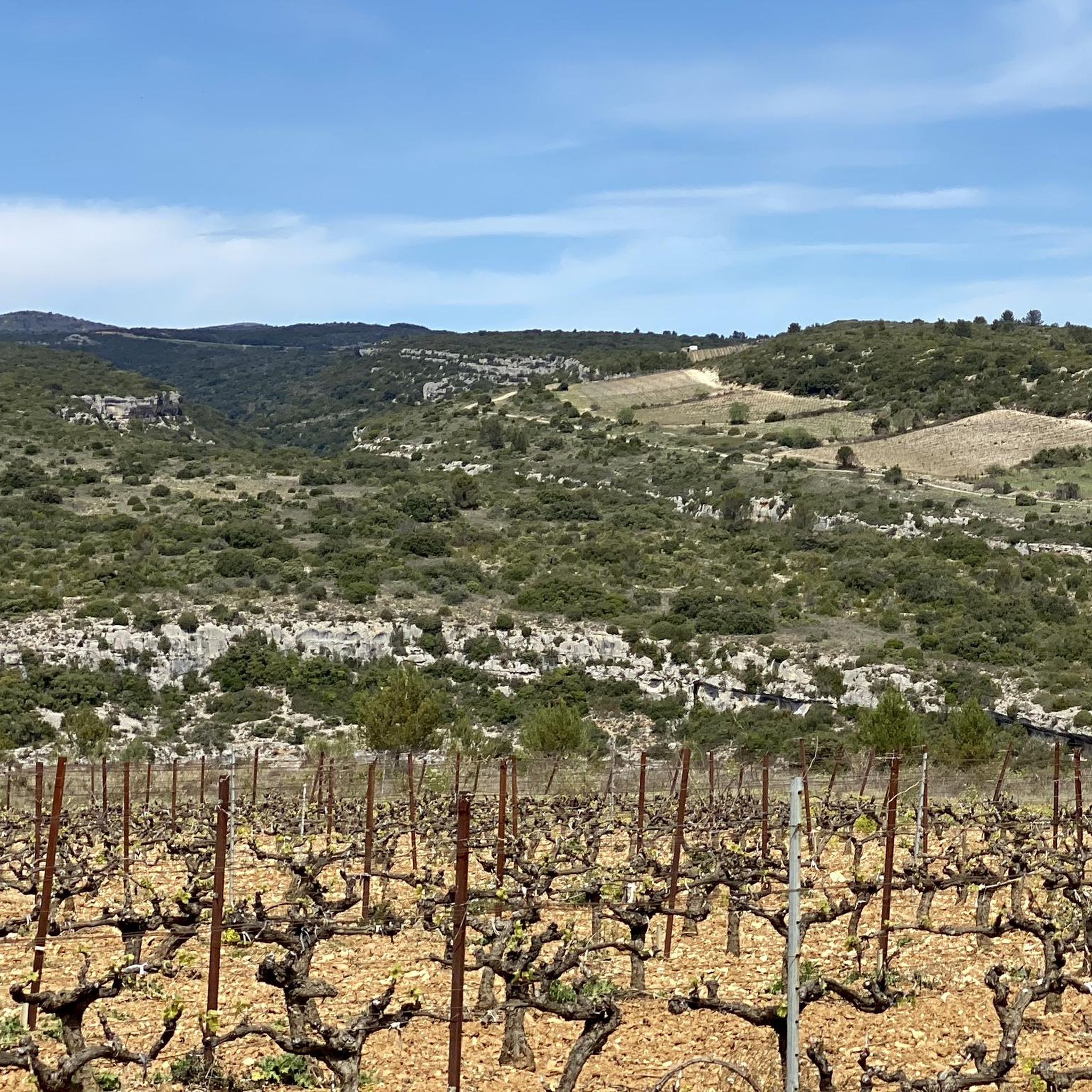
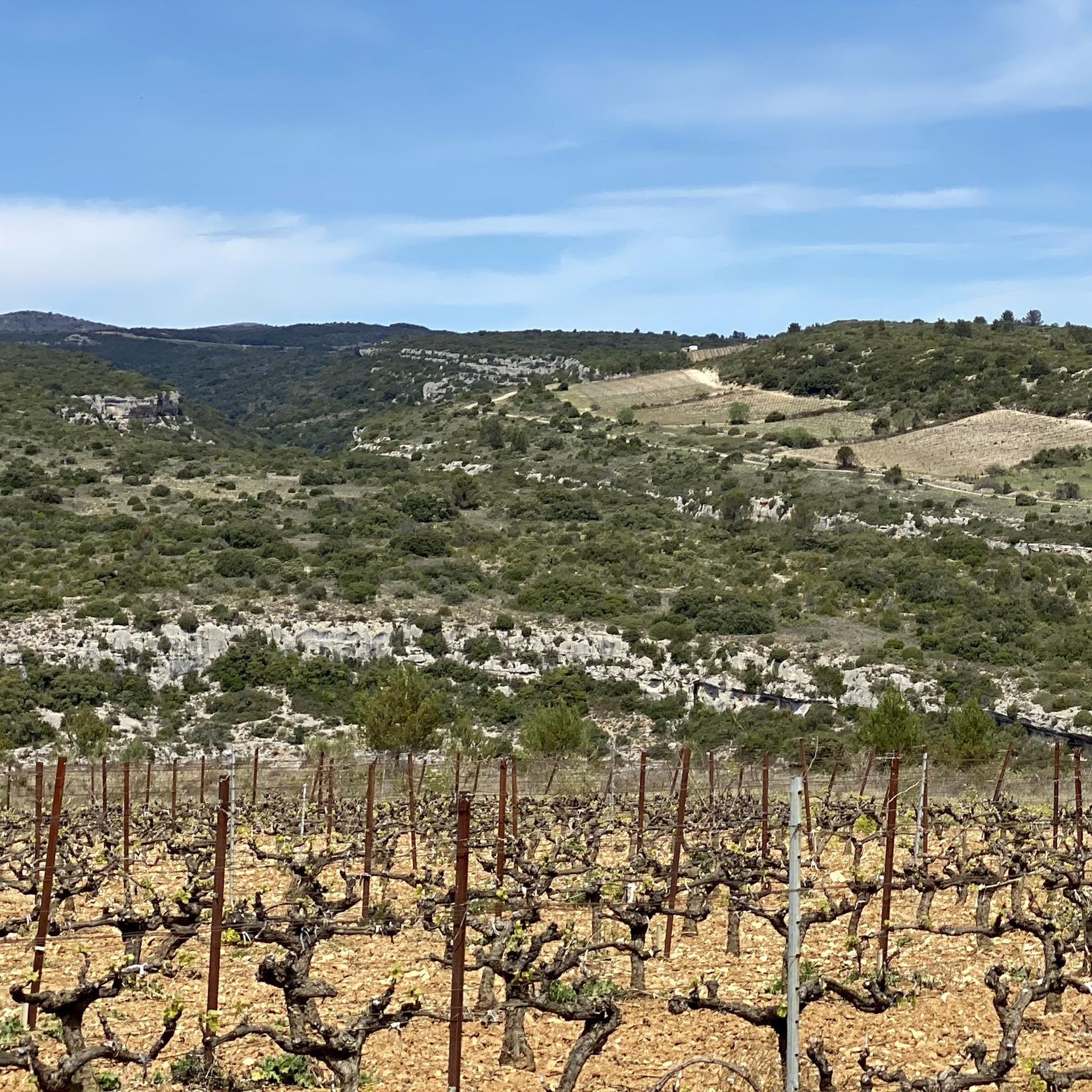
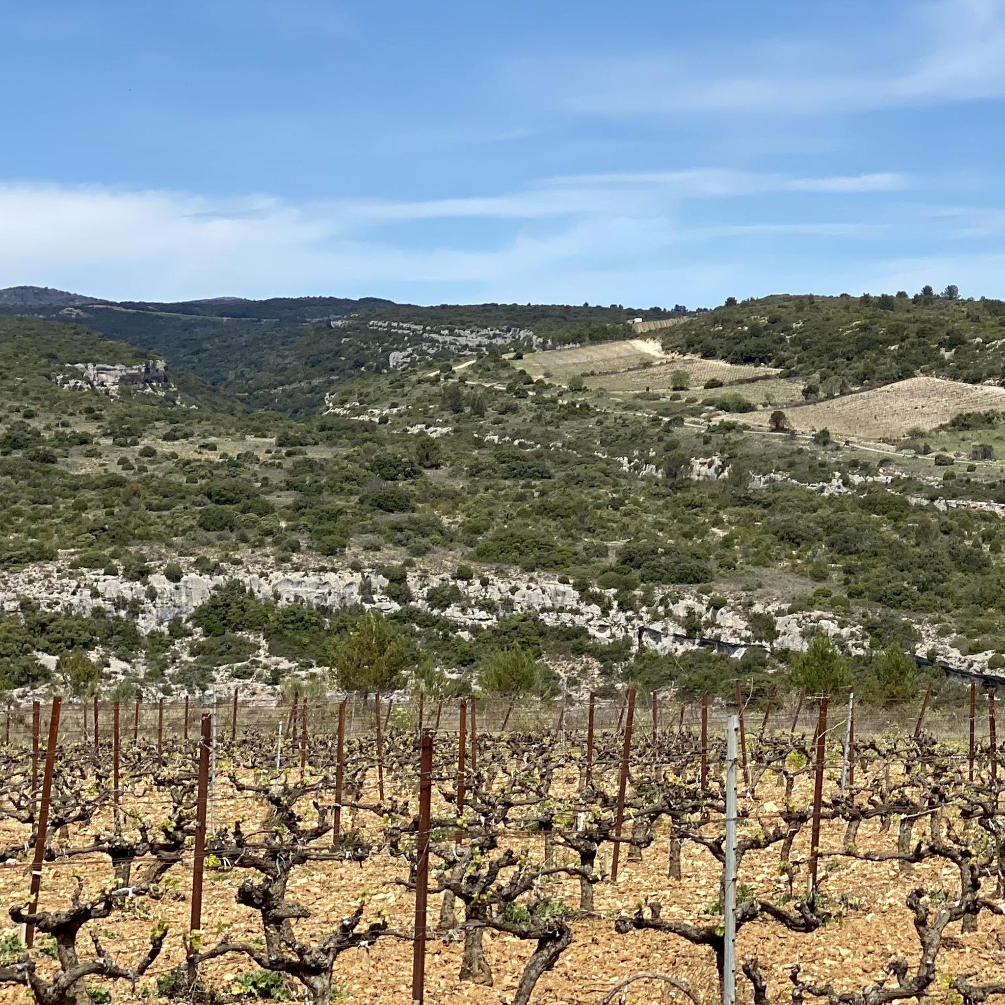
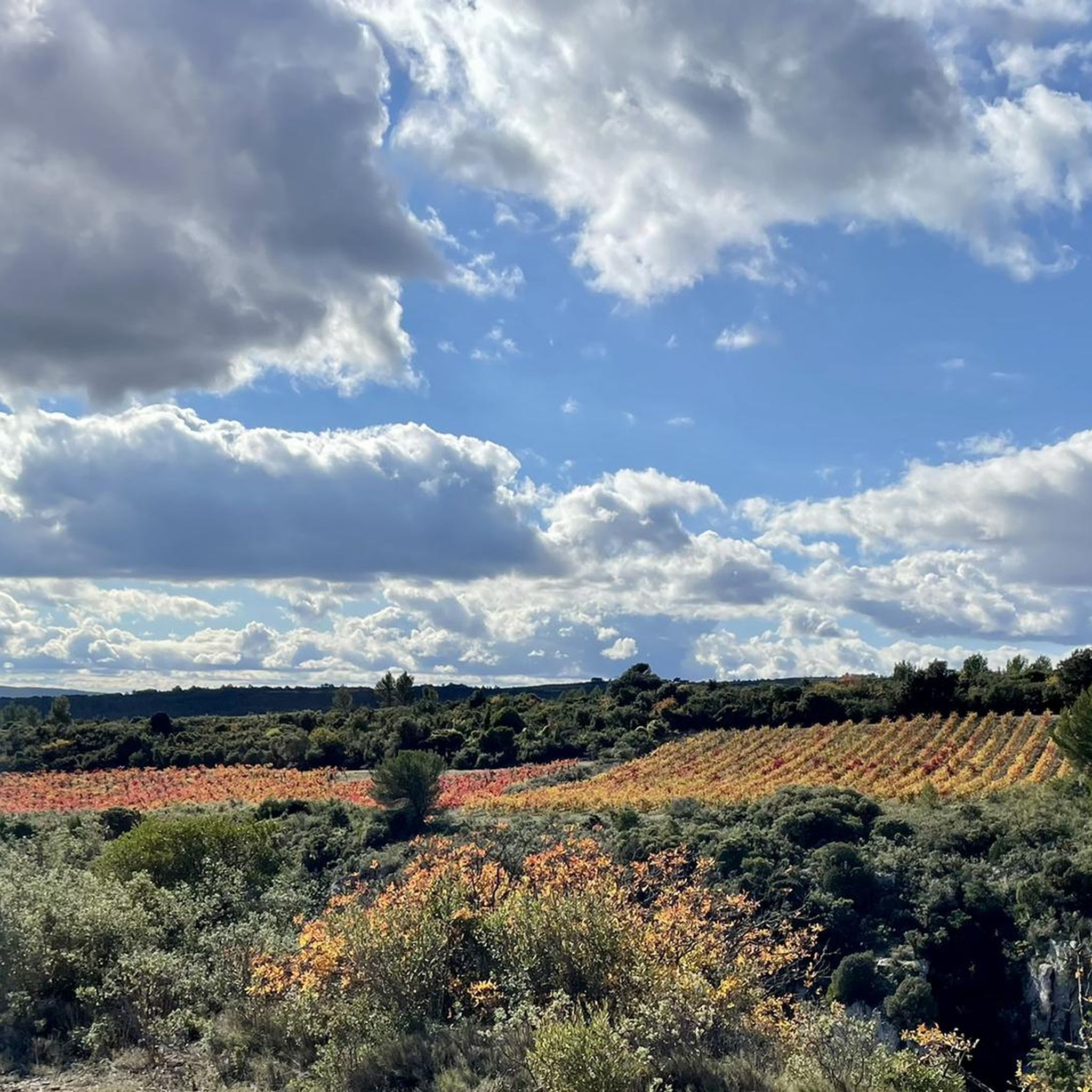
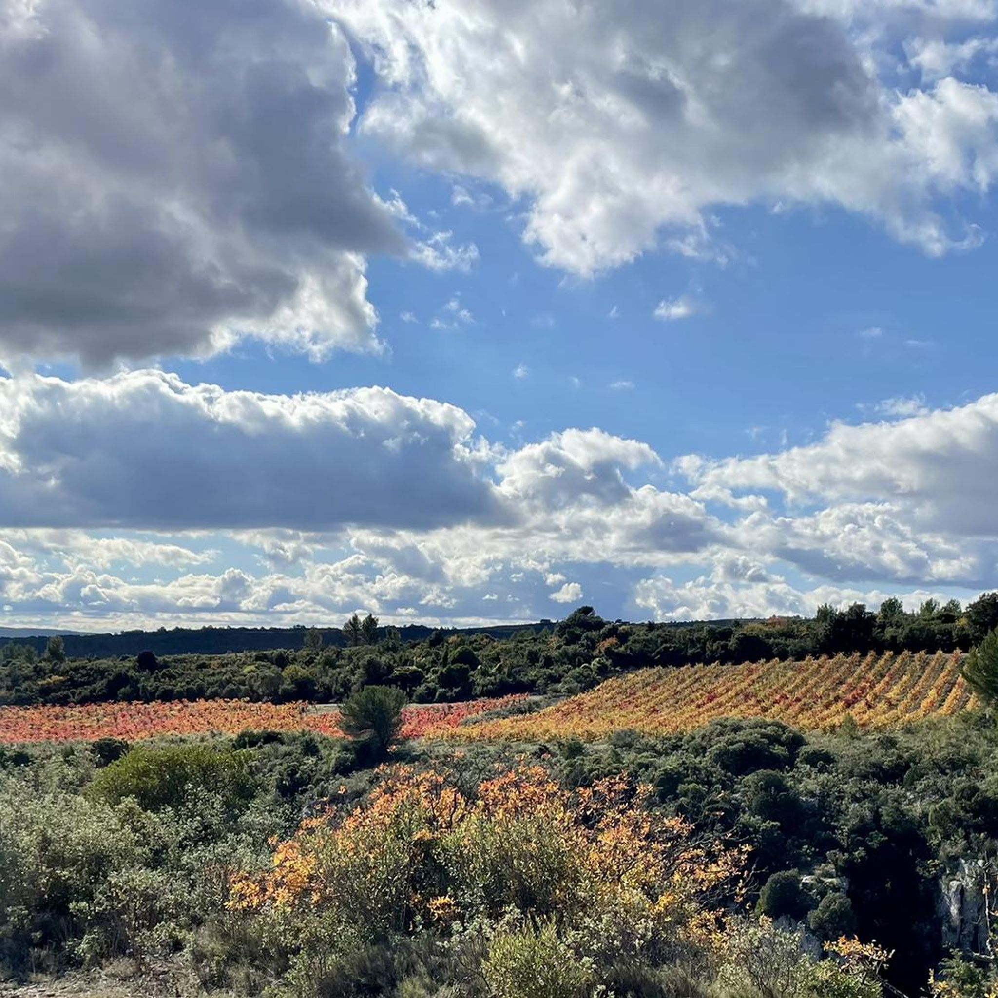
Gravel bike trails around La Caunette traverse a diverse landscape characterized by river-carved gorges and varied hillside terrain. The region, part of the Minervois, features limestone plateaus, rocky cliffs, and extensive vineyards. Unpaved paths often follow natural contours, offering routes through agricultural fields and natural areas away from heavy traffic.
Best gravel bike trails around La Caunette
- The most popular gravel bike trail is The Port of Somail – Canal at Sallèles loop from Sainte-Valière, a 31.2 miles (50.2…
Last updated: October 6, 2026
3.0
(1)
29
riders
32.4km
02:30
90m
90m
Moderate gravel ride. Good fitness required. Mostly paved surfaces. Suitable for all skill levels.
4.5
(2)
10
riders
Hard gravel ride. Good fitness required. You may need to push your bike for some segments of this route.

3.5
(2)
5
riders
51.8km
03:09
300m
300m
Moderate gravel ride. Good fitness required. Mostly paved surfaces. Suitable for all skill levels.
5
riders
64.2km
03:37
350m
350m
Moderate gravel ride. Good fitness required. Mostly paved surfaces. Suitable for all skill levels.
4
riders
50.9km
04:17
1,130m
1,130m
Hard gravel ride. Very good fitness required. Mostly paved surfaces. Suitable for all skill levels.
Get access to more routes and recommendations from other explorers.
Already have an account?
Our route recommendations are based on thousands of hikes, rides, and runs completed by other people on komoot.
Start today with a free account
Your next adventure awaits.
Tips from the Community

The pond covers an area of 2000 ha, and is shared between the municipalities of Marseillette, Aigues-Vives, Saint-Frichoux and Puichéric. In the past, it supplied the region with fish. From the 12th century onwards, people began to talk about draining this stagnant body of water, a source of death and misery for Marseillette and the surrounding villages, which were becoming depopulated. In 1605, Henry IV issued a royal decree to drain the Pond. But it wasn't until 1804 and the purchase of the Pond by an Irishwoman, Madame de Lawless, that it was drained, thanks to a vast construction project. The pond was then cultivated and developed to use the waters of the Aude, with an original irrigation system consisting of perpendicular canals allowing the flooding of the land. Today, vines, apples, and rice are the main products found there. Its quiet and flat paths are very pleasant for hiking or cycling, in a typical landscape.
0
0
The l'Aiguille lock is a double lock on the Canal du Midi located in the commune of Puichéric.
0
0
L'Epanchoir de l'Argent Double, classified as a historic monument: started in 1677 and completed in 1694 according to Vauban's plans, it allows the canal to discharge its excess water.
0
0
The Canal du Midi, formerly Canal Royal, is a 17th-century technical feat designed by Pierre-Paul Riquet to connect the Atlantic to the Mediterranean. Today, it is above all a place for relaxation and discovery, where heritage, nature, and conviviality blend together.
0
0
The Canal du Midi, formerly Canal Royal, is a 17th-century technical feat designed by Pierre-Paul Riquet to connect the Atlantic to the Mediterranean. Today, it is above all a place for relaxation and discovery, where heritage, nature, and conviviality blend together.
0
0
L'Epanchoir de l'Argent Double, classified as a historic monument: started in 1677 and completed in 1694 according to Vauban's plans, it allows the canal to evacuate its excess water.
0
0
L'Epanchoir de l'Argent Double, classified as a historic monument: started in 1677 and completed in 1694 according to Vauban's plans, it allows the canal to drain its excess water.
0
0
L'Epanchoir de l'Argent Double, classified as a historic monument: started in 1677 and completed in 1694 according to Vauban's plans, it allows the canal to discharge its excess water.
0
0
Frequently Asked Questions
How many gravel bike trails are available around La Caunette?
There are over 15 gravel bike routes around La Caunette, offering a diverse range of experiences from moderate to more challenging rides through the Minervois region.
What are the difficulty levels of gravel biking routes in La Caunette?
The routes around La Caunette cater to various skill levels. You'll find 5 moderate routes, perfect for those looking for a balanced ride, and 10 more difficult routes for experienced gravel bikers seeking a greater challenge.
What kind of terrain can I expect on gravel bike trails near La Caunette?
Gravel biking in La Caunette features a dramatic and varied terrain. You can expect to ride through river-carved gorges, along varied hillsides, and through the scenic Minervois countryside with its extensive vineyards. Many paths follow natural contours, offering unpaved sections away from heavy traffic.
Are there any circular gravel bike routes in the area?
Yes, many of the gravel bike routes around La Caunette are circular. For example, you could try The Port of Somail – Canal at Sallèles loop from Sainte-Valière, a moderate 31.2-mile (50.2 km) trail that explores scenic canal paths and the surrounding countryside.
What natural landmarks or viewpoints can I see along the gravel bike trails?
The region is rich in natural beauty. You can encounter impressive gorges like the Marie Close fashion show, or explore unique formations such as the Natural Tunnel of Minerve. The confluence of the Cesse and Brian rivers has carved many picturesque canyons.
Are there any historical sites or picturesque villages to visit while gravel biking?
Absolutely. The medieval village of Minerve, classified as one of France's most beautiful villages, is a must-see with its ancient streets and impressive geography. La Caunette itself boasts historical elements like an 11th-century church and medieval fortifications.
What is the best time of year for gravel biking in La Caunette?
The Minervois region generally offers pleasant conditions for gravel biking during spring and autumn, when temperatures are milder. Summer can be quite warm, while winter rides are possible but may require checking local weather conditions for rain or cooler temperatures.
Are there options for family-friendly gravel biking?
While specific 'easy' routes are not highlighted, the moderate trails, especially those along the Canal du Midi, tend to have less elevation gain and smoother surfaces, making them more suitable for families. Always check the route details for distance and elevation before heading out.
Where can I find parking for gravel biking trails in La Caunette?
Parking availability varies by starting point. Many routes begin from villages like Sainte-Valière or Hameau de Cabezac, where you can typically find public parking areas. It's advisable to check specific route descriptions on komoot for recommended starting points and parking information.
Are there places to eat or drink near the trails?
Yes, the villages in the Minervois region, including La Caunette and nearby Minerve, offer cafes and restaurants where you can refuel. Many routes pass through or near these charming villages, providing opportunities for a break.
What do other gravel bikers say about the trails in La Caunette?
The gravel biking routes around La Caunette are highly rated by the komoot community, with an average score of 4.6 stars from 7 reviews. Riders often praise the varied terrain, scenic vineyards, and the quiet paths away from heavy traffic.
Can I find routes that explore the Canal du Midi area?
Yes, several routes incorporate sections of the historic Canal du Midi. For instance, the Canal du Midi Bridge – Argent-Double Spillway loop from Beaufort is a 31.8-mile (51.2 km) trail that leads through this iconic area, offering a relatively flat and picturesque ride.
Are there any longer gravel bike routes for experienced riders?
For experienced riders looking for a longer challenge, the Argent-Double Spillway – Canal du Midi Bridge loop from Hameau de Cabezac is a substantial 39.9-mile (64.2 km) route with significant elevation changes, offering a demanding and rewarding experience.
Most popular routes around La Caunette
Most popular attractions around La Caunette

Get inspired with the komoot mobile app


Explore more
Browse the best Gravel rides in other regions.
