The best gravel rides around Chaumard
3.8
(17)
193
riders
31
rides
Gravel biking routes Chaumard traverse a landscape characterized by its significant water bodies, including Lake Chaumard-Pannecière and Settons Lake, alongside the Yonne River. The region features varied terrain, from lakeside paths to elevated areas such as the Haut-Folin Pass, offering a mix of gradients suitable for gravel cycling. These routes often lead through forested sections and open countryside, providing diverse riding experiences. The area's geography supports both longer endurance rides and shorter, more accessible options.
Best gravel bike trails around…
Last updated: May 22, 2026
12
riders
64.6km
04:50
1,150m
1,150m
Hard gravel ride. Very good fitness required. You may need to push your bike for some segments of this route.
5.0
(1)
10
riders
57.7km
04:13
1,270m
1,270m
Hard gravel ride. Very good fitness required. Mostly paved surfaces. Suitable for all skill levels.

Sign up for free
3.0
(1)
12
riders
50.8km
03:59
880m
870m
Hard gravel ride. Very good fitness required. Mostly paved surfaces. Suitable for all skill levels.
3.0
(2)
11
riders
101km
07:31
1,750m
1,750m
Hard gravel ride. Very good fitness required. Mostly paved surfaces. Suitable for all skill levels.
9
riders
96.4km
07:25
2,140m
2,140m
Hard gravel ride. Very good fitness required. Mostly paved surfaces. Suitable for all skill levels.
Get access to more routes and recommendations from other explorers.
Sign up for free
Already have an account?
Our route recommendations are based on thousands of hikes, rides, and runs completed by other people on komoot.
Start today with a free account
Your next adventure awaits.
Login or Signup
Other adventures around Chaumard

Tips from the Community

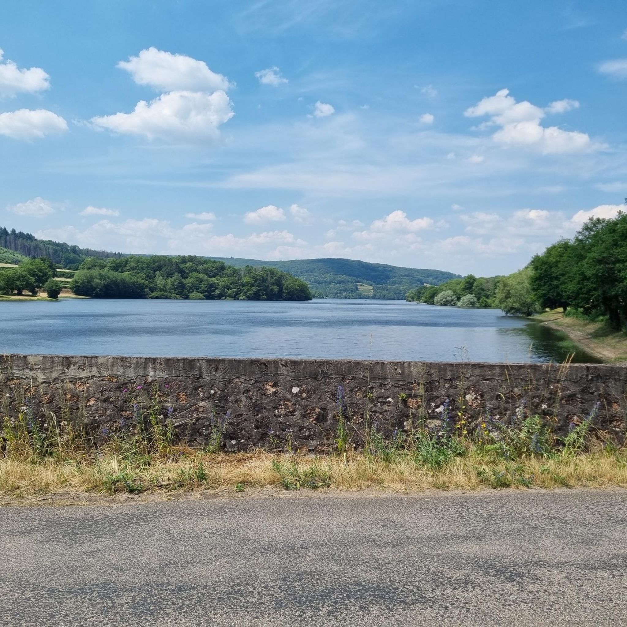
Located in the heart of the Morvan Regional Natural Park, Chaumard overlooks Lake Pannecières, known as the largest of the six Morvan lakes. The Relais de Pannecières, situated in the village, boasts beautiful paintings adorning its façade – an invitation to daydream!
0
0
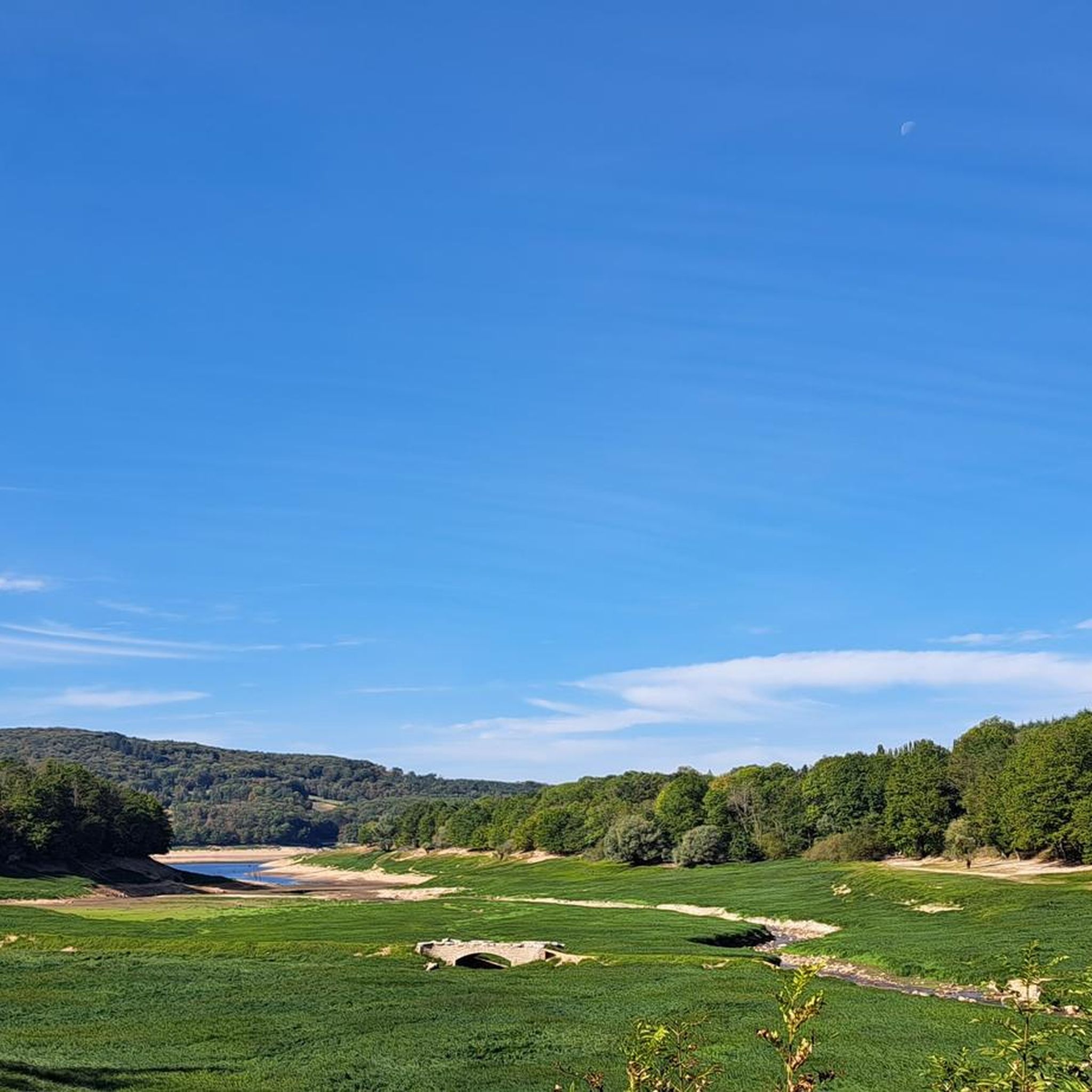
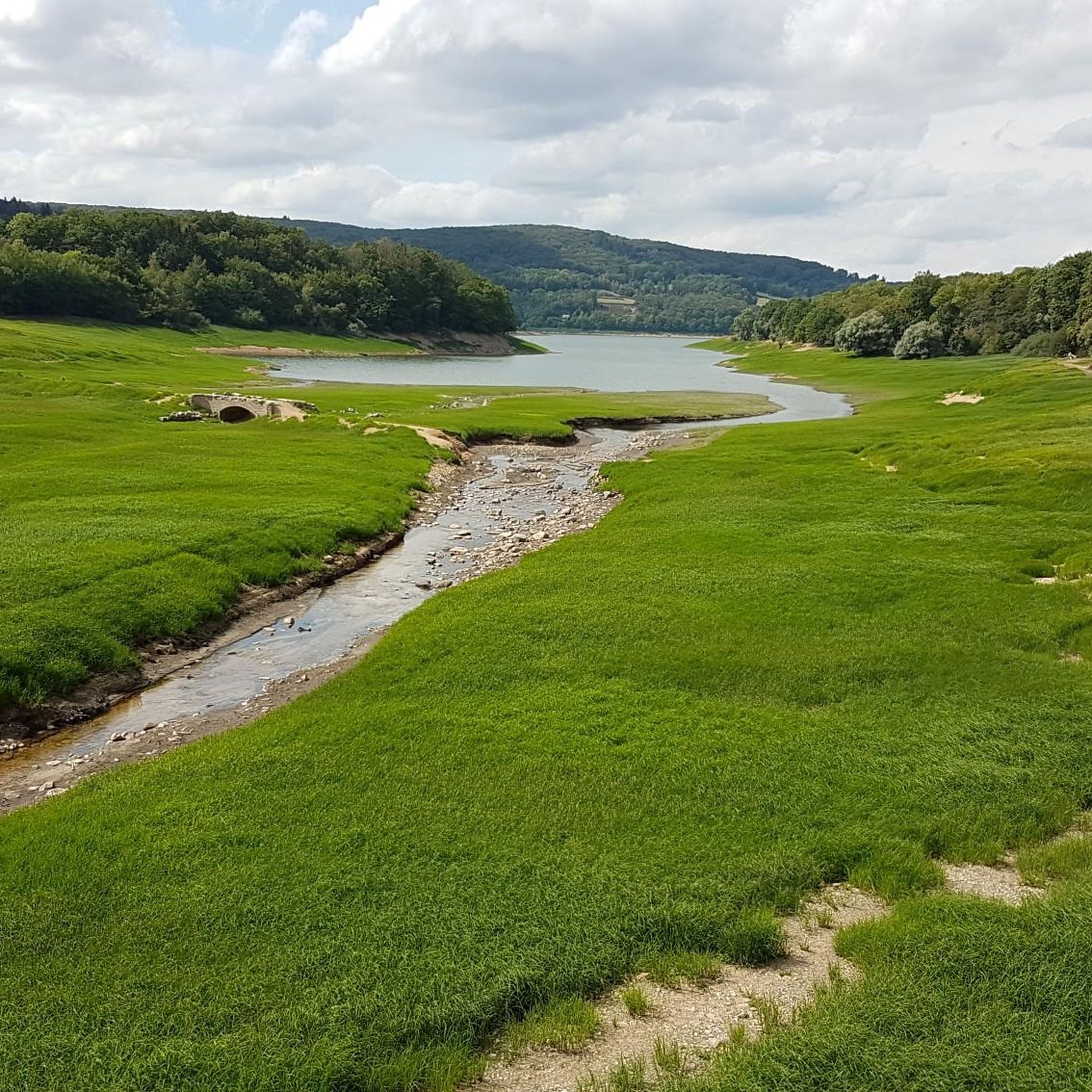
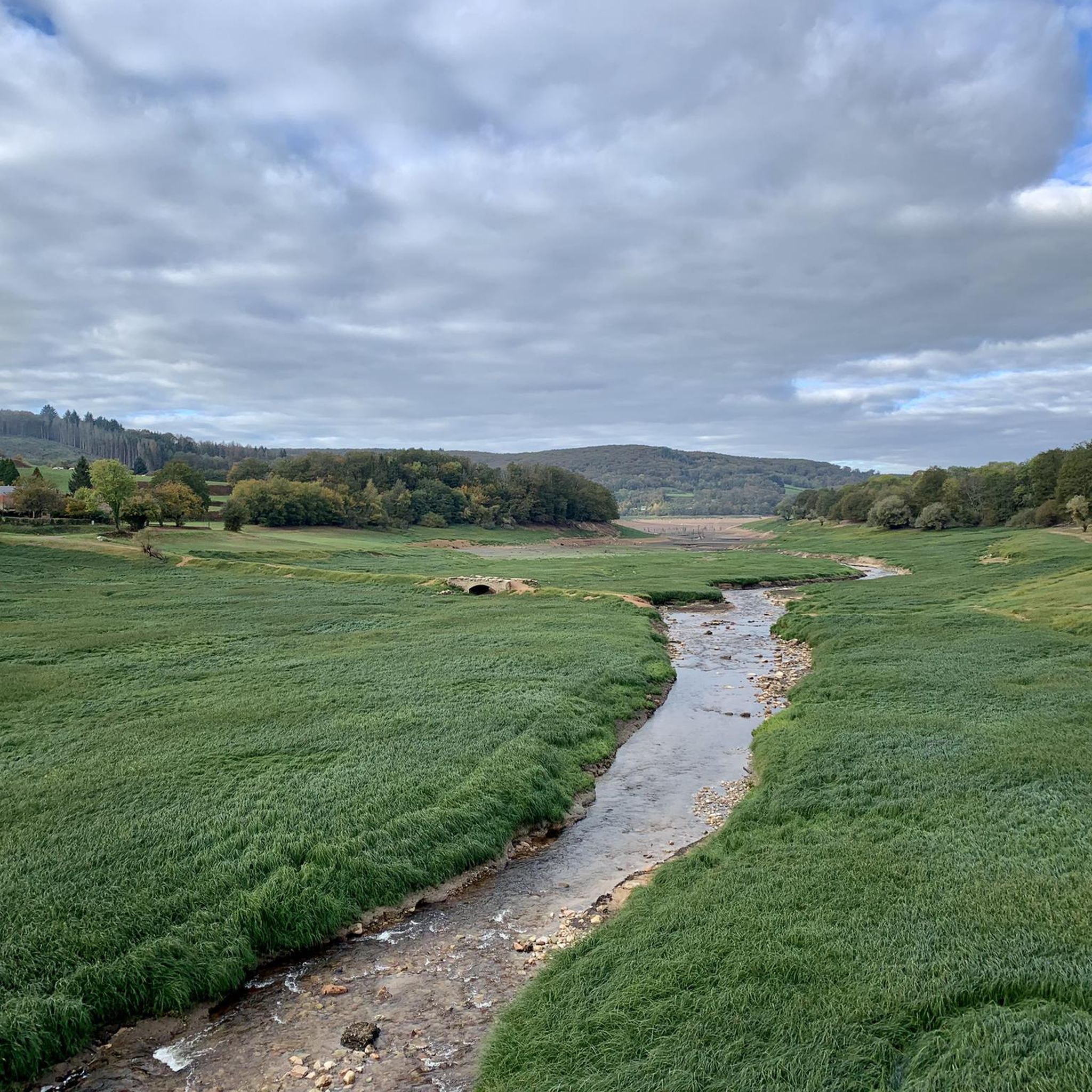
The Pannecière reservoir was commissioned in 1949. This artificial lake's purpose is to increase the flow of the Yonne and Seine rivers and to mitigate the risk of flooding. It is the largest lake in the Morvan region.
0
0
The Ouroux-en-Morvan pond offers an ideal setting for a relaxing break by the water. A small, shaded path circles the pond. You'll find several spots for picnics and simply enjoying the surroundings.
0
0

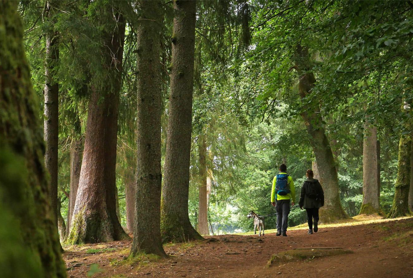
Haut-Folin is the highest point in the Morvan region and, more broadly, in Burgundy, at 901 meters above sea level. This mountain boasts a beautiful natural setting with areas covered in deciduous and coniferous trees. It is also the starting point for numerous hiking and cycling trails.
1
0


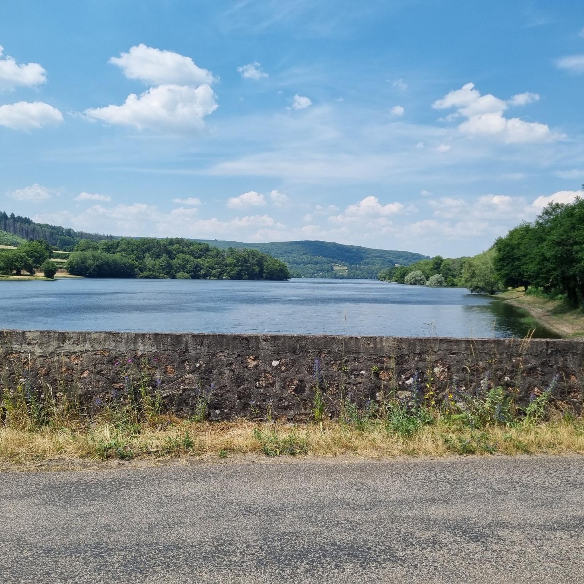
The road on the dam is closed
0
0

A beautiful forest cycle ride, winding through the remains of the Gaulish village of Bibracte! The goal after the Col du Rebout is a one-way loop that descends to Saint-Léger-sous-Beuvray.
0
0

Beautiful and very pleasant for a break!
0
0
Frequently Asked Questions
How many gravel bike trails are available around Chaumard?
There are over 35 gravel biking routes around Chaumard, offering a wide range of experiences for cyclists. The region is particularly known for its challenging routes, with 34 classified as difficult and 4 as moderate.
Are there any easy or beginner-friendly gravel bike trails in the Chaumard area?
While the majority of routes around Chaumard are rated as difficult, there are 4 moderate trails available. These routes still offer a good challenge but might be more suitable for those looking for a less strenuous ride compared to the most demanding options.
What kind of terrain can I expect on gravel bike trails near Chaumard?
The terrain around Chaumard is diverse, characterized by significant water bodies like Lake Chaumard-Pannecière and Settons Lake, alongside the Yonne River. You'll encounter a mix of lakeside paths, forested sections, open countryside, and elevated areas such as the Haut-Folin Pass, providing varied gradients and surfaces.
Are there any circular gravel bike routes around Chaumard?
Yes, many of the gravel bike routes in the Chaumard region are circular, allowing you to start and end at the same point. Examples include the challenging Settons Lake – Settons Lake Dam loop from Chaumard, which covers 39.3 miles, or the Haut-Folin Pass – Haut-Folin Summit loop from Château-Chinon (Campagne), a 32.6-mile ride with significant elevation.
What are some scenic viewpoints or natural attractions along the gravel bike trails?
The region offers numerous scenic spots, especially around its large lakes. You can find beautiful views along routes circling Lake Chaumard-Pannecière and Settons Lake. Notable highlights include the Settons Lake Dam and the Wooden Footbridge on the Lake, both offering picturesque settings.
Are there any family-friendly gravel cycling routes near Chaumard?
Given that most routes are rated as difficult, the Chaumard area is generally more suited for experienced gravel bikers. However, families with older, more capable children might enjoy shorter sections of the moderate routes. Always check the route details for distance and elevation to ensure it matches your family's ability.
What do other gravel bikers say about the trails in Chaumard?
The gravel biking routes in Chaumard are highly rated by the komoot community, with an average score of 3.9 stars from over 20 reviews. Riders often praise the diverse terrain, the extensive views of the lakes, and the challenging nature of the trails, which provide a rewarding experience.
Are there any specific landmarks or points of interest I can visit while gravel biking?
Yes, several points of interest are accessible or visible from the trails. Beyond the natural beauty of the lakes, you might encounter historical sites like the Couezon Franco-British Cemetery or explore the Château-Chinon Town Center, which can be a good stop for refreshments or a cultural break.
What is the best time of year for gravel biking around Chaumard?
The best time for gravel biking around Chaumard is typically during spring, summer, and early autumn. These seasons offer more favorable weather conditions, with less rain and more comfortable temperatures, making the varied terrain more enjoyable to navigate. Always check the local weather forecast before heading out.
Are there any routes that explore the Yonne River valley?
Yes, the region's geography includes the Yonne River. A notable route that leads through the Yonne river valley and around the Pannecière reservoir is the Pont des Vouas over the Yonne – Pannecière reservoir lake loop from Chaumard. This 33.8-mile trail offers a mix of river and lakeside scenery.
Can I find routes that offer significant elevation gain for a challenging ride?
Absolutely. The Chaumard region is known for its routes with significant elevation gain, making it ideal for those seeking a challenging gravel biking experience. For instance, the Settons Lake (south) – Lake of Settons loop from Château-Chinon features over 1700 meters of ascent over its 62.8 miles, providing a demanding ride.
Most popular attractions around Chaumard

Get inspired with the komoot mobile app


Explore more
Browse the best Gravel rides in other regions.
