The best gravel rides around Sault-Brénaz
4.2
(11)
114
riders
20
rides
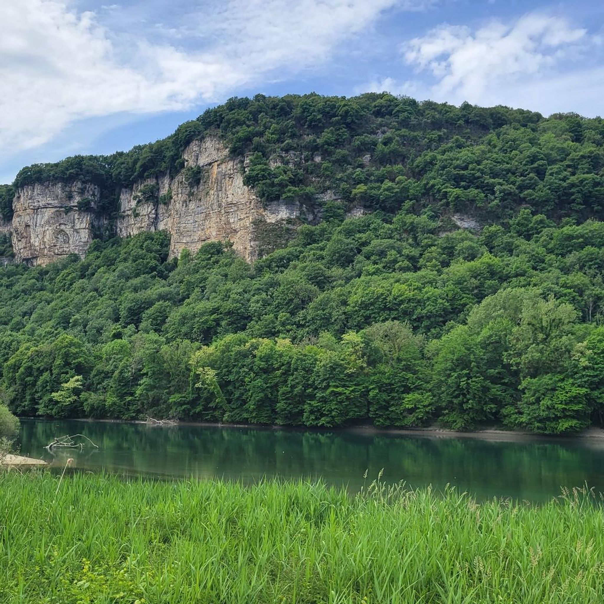
Gravel biking around Sault-Brénaz offers diverse terrain characterized by the Rhône River, varied scenery including meadows, forests, and mountainous areas, and a mix of paved and unpaved surfaces. The region's topography provides both challenging climbs and picturesque trails, with routes featuring significant elevation gains. Natural landmarks like the Saut du Rhône and historical sites such as the Vertrieu castles are integrated into the cycling paths.
Best gravel bike trails around Sault-Brénaz
- The most popular gravel bike trail is View of…
Last updated: October 6, 2026
4.5
(2)
40
riders
90.6km
05:00
520m
520m
Hard gravel ride. Very good fitness required. Mostly paved surfaces. Suitable for all skill levels.
4.4
(5)
34
riders
Moderate gravel ride. Good fitness required. Mostly paved surfaces. Suitable for all skill levels.

5
riders
56.7km
04:03
1,060m
1,060m
Hard gravel ride. Very good fitness required. Mostly paved surfaces. Suitable for all skill levels.
10
riders
40.9km
02:12
130m
130m
Moderate gravel ride. Good fitness required. Mostly paved surfaces. Suitable for all skill levels.
5.0
(3)
9
riders
Hard gravel ride. Very good fitness required. Mostly paved surfaces. Suitable for all skill levels.
Get access to more routes and recommendations from other explorers.
Already have an account?
Our route recommendations are based on thousands of hikes, rides, and runs completed by other people on komoot.
Start today with a free account
Your next adventure awaits.
Tips from the Community

The Voie verte des Balcons du Dauphiné is a 18-kilometer-long secure cycle and pedestrian path, built on the route of the former Est Lyonnais railway line. It connects the medieval town of Crémieu to the municipality of Arandon-Passins, where it connects directly to the ViaRhôna.
0
0
The commune of Vertrieu, located in the department of Isère within the Balcons du Dauphiné, has the unique particularity of housing two major historical buildings: the Château Vieux (or Maison-Forte) and the Château Neuf (or Château Moderne).
0
0
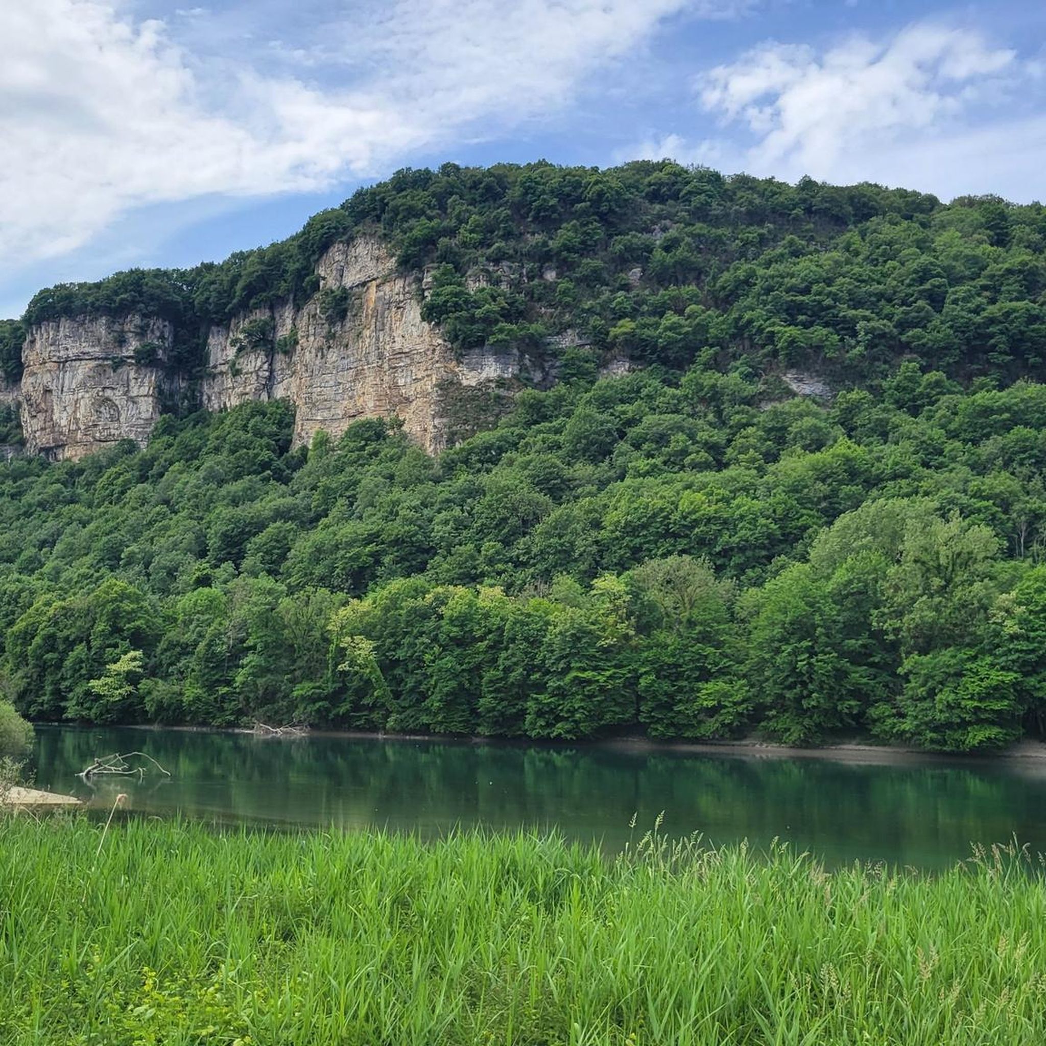
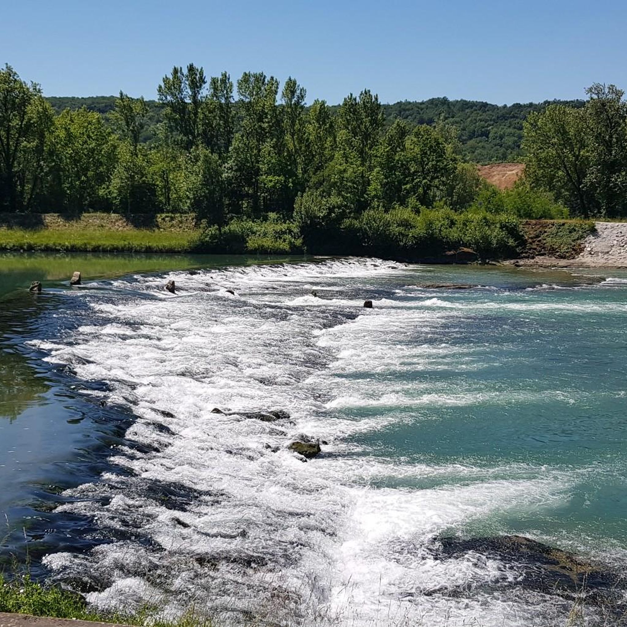
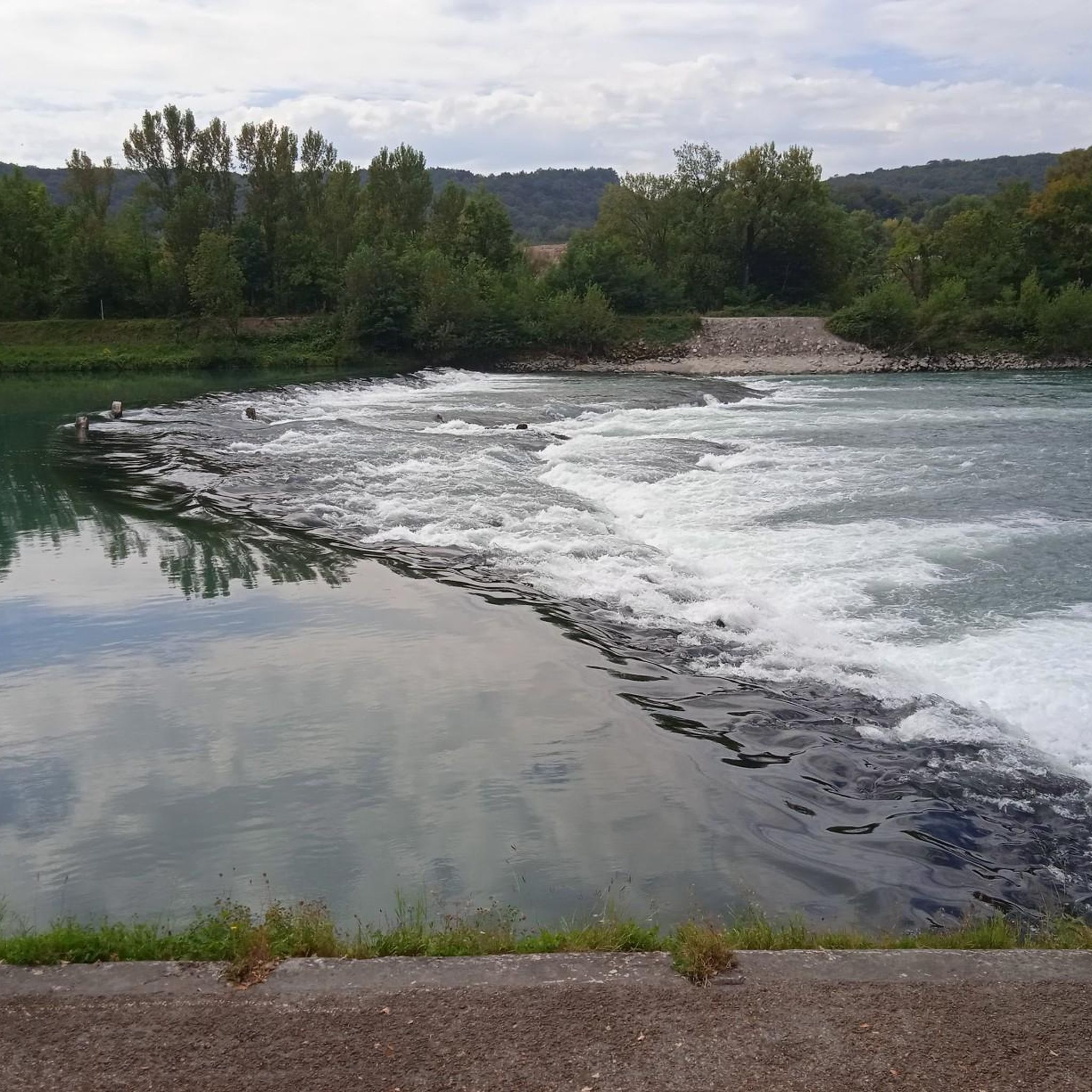
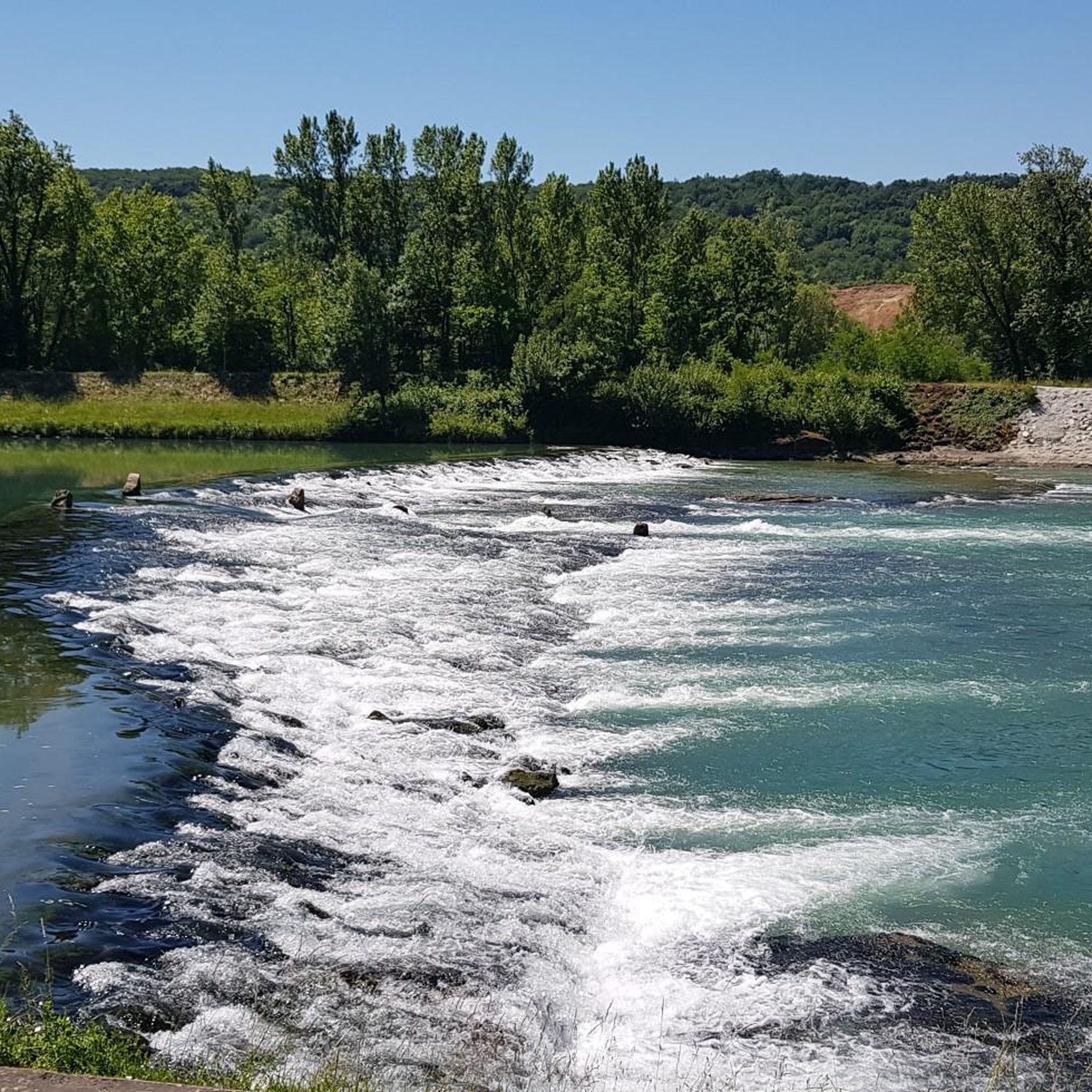
The Sault-Brénaz dam (also called Villebois dam or Sault-Brénaz facility) is an important hydroelectric infrastructure located on the Rhône River. It is situated on the border between the departments of Ain and Isère, mainly near the communes of Sault-Brénaz and Villebois. Commissioned in 1986, this structure was the last major facility built by the Compagnie Nationale du Rhône (CNR) on the upper Rhône.
0
0
The Sault-Brénaz dam (also called Villebois dam or Sault-Brénaz facility) is an important hydroelectric infrastructure located on the Rhône River. It lies on the border between the departments of Ain and Isère, mainly near the communes of Sault-Brénaz and Villebois. Commissioned in 1986, this structure was the last major development built by the Compagnie Nationale du Rhône (CNR) on the upper Rhône.
0
0
L'étang du Peillard is a charming small body of water located in the municipality of Saint-Romain-de-Jalionas, in the north of the Isère department, in the Auvergne-Rhône-Alpes region. It is located right next to the historic site of Moulin du Peillard.
0
0

Leisure base opposite Bas Bugey. A pleasant stop, but strangely located between 2 nuclear power plants...
0
0
Beautiful cycle path, mostly shaded, unpaved but rideable (I ride it with 23mm tires), which follows the old line of the Chemin de Fer de l'Est Lyonnais (CFEL)
0
0

cycle path very busy in good weather
1
0
Frequently Asked Questions
How many gravel bike trails are available around Sault-Brénaz?
There are over 30 gravel bike trails around Sault-Brénaz, offering a diverse range of experiences. The komoot community has explored these routes more than 200 times, with an average rating of 4.6 stars.
What is the general difficulty level of gravel biking routes in Sault-Brénaz?
The gravel biking routes in Sault-Brénaz cater to various skill levels. You'll find a good mix of moderate and difficult trails, with 13 moderate routes and 21 difficult routes available. This ensures options for both experienced riders and those looking for a challenge.
What kind of terrain can I expect on gravel bike trails in Sault-Brénaz?
Gravel biking in Sault-Brénaz offers a dynamic mix of terrain. You'll encounter varied scenery, including meadows, forests, and mountainous areas, often combining paved and unpaved surfaces. The routes frequently follow the Rhône River, providing both challenging climbs and picturesque trails.
Are there any historical landmarks or castles to see along the gravel routes?
Yes, several gravel routes offer views of historical landmarks. The View of the Saut du Rhône – View of Vertrieu castle loop from Porcieu - Pont de Sault-Brénaz and the View of the Saut du Rhône – View of Vertrieu castle loop from Bouvesse both feature views of the historic Vertrieu castle. The region is home to two Vertrieu castles, including a 17th-century noble residence with landscaped parks overlooking the Rhône. You can find more information about the modern castle here: Château de Vertrieu.
What natural features or scenic viewpoints can I discover while gravel biking?
The routes often provide stunning views, particularly across the Rhône valley. You'll frequently encounter the dramatic Saut du Rhône, a notable natural landmark. The region also boasts a rich tapestry of meadows and forests, with hidden ponds, lakes, and marshes nestled within the mountains and forests of southern Bugey.
Are there any lakes or water bodies accessible from the gravel trails?
Yes, the region around Sault-Brénaz features several beautiful water bodies. You can find highlights like Lac Bleu on the Gardon and Vallée Bleue Lake. These offer tranquil spots and are often part of the wider network of trails and attractions.
Are there any family-friendly gravel biking options in Sault-Brénaz?
While many routes in Sault-Brénaz are moderate to difficult, the region does offer options for less strenuous paths. For example, the View of the Saut du Rhône – View of Vertrieu castle loop from Briord is a moderate 36 km route with minimal elevation gain, making it a good choice for families or beginners looking for a scenic ride.
Where can I park my car when accessing gravel bike trails in Sault-Brénaz?
Specific parking information for individual trailheads is best found on the detailed komoot tour pages. However, Sault-Brénaz is a hub for outdoor activities, and you can generally find parking facilities near popular starting points like the Espace Eau Vive or in the villages from which routes begin, such as Bouvesse-Quirieu or Porcieu - Pont de Sault-Brénaz.
What is the best time of year to go gravel biking in Sault-Brénaz?
Sault-Brénaz is appealing for outdoor activities throughout much of the year. Spring and autumn generally offer pleasant temperatures for gravel biking, with vibrant scenery. Summer can also be enjoyable, especially if you start early to avoid the midday heat. Winter riding is possible, but conditions may vary, so checking local weather forecasts is always recommended.
Are there any loop gravel bike trails in the area?
Yes, many of the gravel bike trails around Sault-Brénaz are designed as loops, allowing you to start and finish at the same point. Examples include the View of Vertrieu castle – Groslée Bridge loop from Bouvesse-Quirieu and the View of Vertrieu castle – View of the Saut du Rhône loop from Parmilieu, providing convenient circular routes.
Can I find cafes or restaurants near the gravel biking routes in Sault-Brénaz?
Sault-Brénaz and its surrounding villages offer amenities for visitors. While specific cafes or restaurants directly on every trail are not guaranteed, you can typically find options in the main towns and villages that serve as starting points or pass-throughs for the gravel routes. These provide opportunities for refreshments and meals before or after your ride.
What other outdoor activities are available in Sault-Brénaz besides gravel biking?
Sault-Brénaz is an outdoor enthusiast's paradise. Beyond gravel biking, you can enjoy a wide range of activities, including water sports at the Espace Eau Vive (kayaking, rafting), hiking on diverse trails, and longer cycling expeditions along the ViaRhôna. Adventure sports like Deval'bike, canyoning, and climbing are also popular in the region.
Most popular routes around Sault-Brénaz
Most popular attractions around Sault-Brénaz

Get inspired with the komoot mobile app


Explore more
Browse the best Gravel rides in other regions.
