The best gravel rides around Dagneux
4.4
(147)
882
riders
39
rides
Gravel biking around Dagneux offers a diverse landscape characterized by riverine paths, parklands, and varied elevation. The region features routes along the Rhône Riverbanks and the Jonage Canal, providing flat sections suitable for sustained riding. Further inland, areas like Mount Cindre introduce more significant climbs and descents, contributing to the varied gravel bike trails Dagneux difficulty. Many routes are loop gravel bike trails Dagneux, allowing for circular journeys through the local terrain.
Best gravel bike trails around Dagneux
- The most…
Last updated: October 6, 2026
4.5
(32)
246
riders
58.3km
03:28
170m
170m
Moderate gravel ride. Good fitness required. Mostly paved surfaces. Suitable for all skill levels.
4.7
(9)
57
riders
79.7km
04:58
750m
750m
Hard gravel ride. Very good fitness required. Mostly paved surfaces. Suitable for all skill levels.

4.7
(68)
340
riders
56.2km
02:49
200m
200m
Moderate gravel ride. Good fitness required. Mostly paved surfaces. Suitable for all skill levels.
4.3
(3)
34
riders
Hard gravel ride. Very good fitness required. Mostly paved surfaces. Suitable for all skill levels.
4.0
(6)
23
riders
47.0km
02:23
220m
220m
Moderate gravel ride. Good fitness required. Mostly paved surfaces. Suitable for all skill levels.
Get access to more routes and recommendations from other explorers.
Already have an account?
Our route recommendations are based on thousands of hikes, rides, and runs completed by other people on komoot.
Start today with a free account
Your next adventure awaits.
Tips from the Community

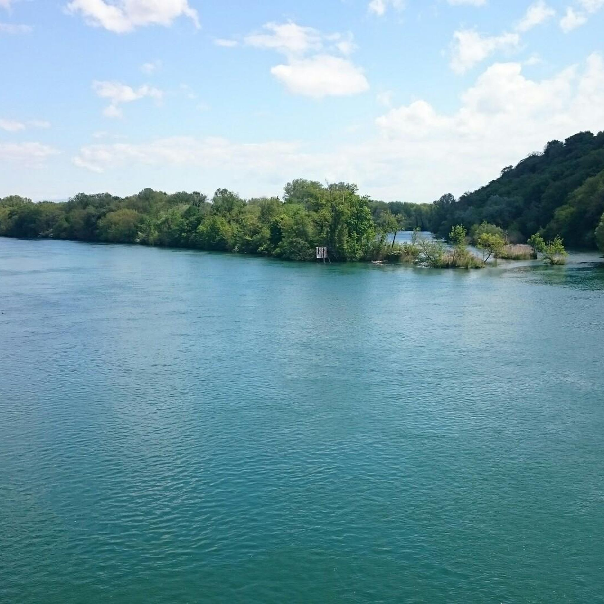
The Morlet ford (located near the tailrace and the Miribel canal) is a well-known crossing point for walkers, cyclists, and mountain bikers within the Grand Parc de Miribel-Jonage. It connects sections of paths and tracks between the tailrace, the Morlet area, and the lakes of the large park (such as the Lac des Eaux Bleues).
0
0
The Lac du Grand Large (or Grand-Large reservoir) is an artificial lake of about 150 hectares located in the east of Lyon, straddling the communes of Décines-Charpieu and Meyzieu. Created at the end of the 19th century during the development of the Jonage canal, it historically serves as a reservoir for the Cusset hydroelectric power plant in Villeurbanne. Today, it is one of the most popular outdoor recreation areas in the Lyon metropolitan area.
0
0
The Lac du Grand Large (or Grand-Large reservoir) is an artificial lake of about 150 hectares located in the east of Lyon, straddling the communes of Décines-Charpieu and Meyzieu. Created at the end of the 19th century during the development of the Jonage canal, it historically serves as a reservoir for the Cusset hydroelectric power plant in Villeurbanne. Today, it is one of the most popular outdoor leisure spaces in the Lyon metropolitan area.
0
0
The Grand Large lake (or Grand-Large reservoir) is an artificial lake of about 150 hectares located in eastern Lyon, straddling the towns of Décines-Charpieu and Meyzieu. Created at the end of the 19th century during the development of the Jonage canal, it has historically served as a reservoir for the Cusset hydroelectric power plant in Villeurbanne. Today, it is one of the most popular outdoor recreation areas in the Lyon metropolitan area.
0
0
This rural village, bordered by the Rhône and the spectacular cliffs of Isle Crémieu, has just over 1,200 inhabitants (the Hiérois) and is part of the Balcons du Dauphiné community of municipalities.
0
0
L'étang du Peillard is a charming small body of water located in the municipality of Saint-Romain-de-Jalionas, in the north of the Isère department, in the Auvergne-Rhône-Alpes region. It is located right next to the historic site of Moulin du Peillard.
0
0

Very beautiful village with character, entirely made of stone; from the village, you can see the Madonna of the Larina Archaeological site.
0
0

Lunch or dinner / Les Voiles …
0
0
Frequently Asked Questions
How many gravel bike trails are available around Dagneux?
There are over 25 gravel bike trails around Dagneux, offering a wide range of options for different skill levels and preferences. You'll find routes along riverbanks, through parklands, and some with more significant climbs.
What is the typical difficulty of gravel bike trails in Dagneux?
The gravel bike trails around Dagneux offer a mix of difficulties. You'll find 5 easy routes, 14 moderate routes, and 7 more challenging options. For instance, routes like Mount Cindre – Feyssine Park loop from Montluel feature significant elevation gain, while others along the Rhône Riverbanks and Jonage Canal are flatter and more accessible.
Are there any beginner-friendly gravel bike routes in Dagneux?
Yes, Dagneux offers several routes suitable for beginners. Many of the trails along the Rhône Riverbanks and the Jonage Canal provide relatively flat sections, ideal for those new to gravel biking. Look for routes rated as 'easy' or 'moderate' to start.
What are the typical lengths of gravel bike trails in Dagneux?
Trail lengths vary significantly. You can find shorter routes, such as the The open sea – Feyssine Park loop from Jons at 55.1 km, or longer, more challenging rides like the Le Grand Large – Jonage Canal and Grand Large loop from La Valbonne which spans 126.2 km.
When is the best time of year to go gravel biking in Dagneux?
The best time for gravel biking in Dagneux is generally during spring (April to June) and autumn (September to October). During these seasons, the weather is typically mild and pleasant, and the natural scenery along the Rhône and Ain rivers is particularly beautiful. Summers can be hot, especially in July and August, while winters can be cold and damp.
Are there many loop gravel bike trails in Dagneux?
Yes, many of the gravel bike trails in Dagneux are designed as loops, allowing for circular journeys through the local terrain. This makes planning your ride and returning to your starting point convenient. Examples include the Rhône Riverbanks – Beautiful view of the Rhône loop from Beynost and the Ain/Rhône confluence – The open sea loop from La Valbonne.
What kind of terrain can I expect on the gravel bike trails in Dagneux?
The terrain around Dagneux is quite varied. You'll encounter flat sections along the Rhône Riverbanks and the Jonage Canal, ideal for steady riding. Inland, areas like Mount Cindre introduce more significant climbs and descents, offering a mix of parkland, forest paths, and open landscapes.
What can I see along the gravel bike trails around Dagneux?
Many routes offer scenic views and pass by interesting attractions. You can explore areas like the Miribel-Jonage Park, ride past the Mallard Promenade — Blue Waters Lake, or even pass near the historic Medieval town of Pérouges. The region is rich in natural beauty and cultural landmarks.
Are there any specific viewpoints on the Dagneux gravel bike routes?
Yes, several routes offer excellent viewpoints, particularly those that venture into higher elevations or along the riverbanks. For instance, the Rhône Riverbanks – Beautiful view of the Rhône loop from Beynost is specifically highlighted for its beautiful views of the Rhône. Routes around Mount Cindre also provide elevated perspectives of the surrounding landscape.
What do other gravel bikers enjoy most about gravel biking in Dagneux?
The area is highly rated by the komoot community, with an average score of 4.5 stars from over 90 reviews. Reviewers often praise the diverse landscape, which includes riverine paths, parklands, and varied elevation, as well as the well-maintained trails that cater to different skill levels.
Where can I find parking for gravel biking in Dagneux?
Parking is generally available near the start points of many popular routes, especially in towns like Montluel, Jons, La Valbonne, and Beynost. Look for public parking areas in these villages, which often serve as convenient access points for the trails.
Are there cafes or places to refuel along the gravel bike trails?
While specific cafes directly on every trail might be limited, many routes pass through or near small towns and villages where you can find bakeries, cafes, or small shops to refuel. It's always a good idea to carry sufficient water and snacks, especially on longer routes, but you'll have opportunities to stop in places like Montluel or Jons.
Most popular attractions around Dagneux

Get inspired with the komoot mobile app


Explore more
Browse the best Gravel rides in other regions.
