The best gravel rides around Talencieux
5.0
(1)
22
riders
4
rides
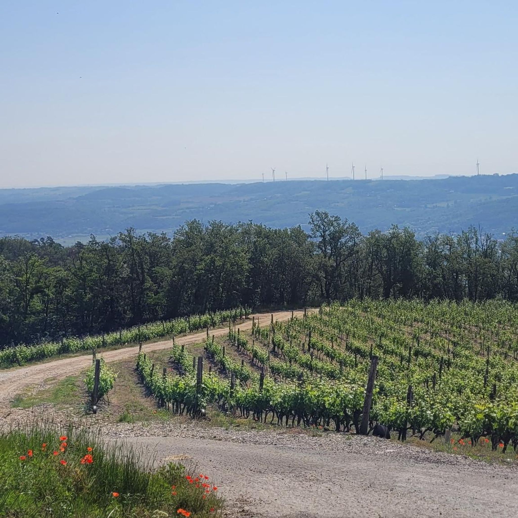
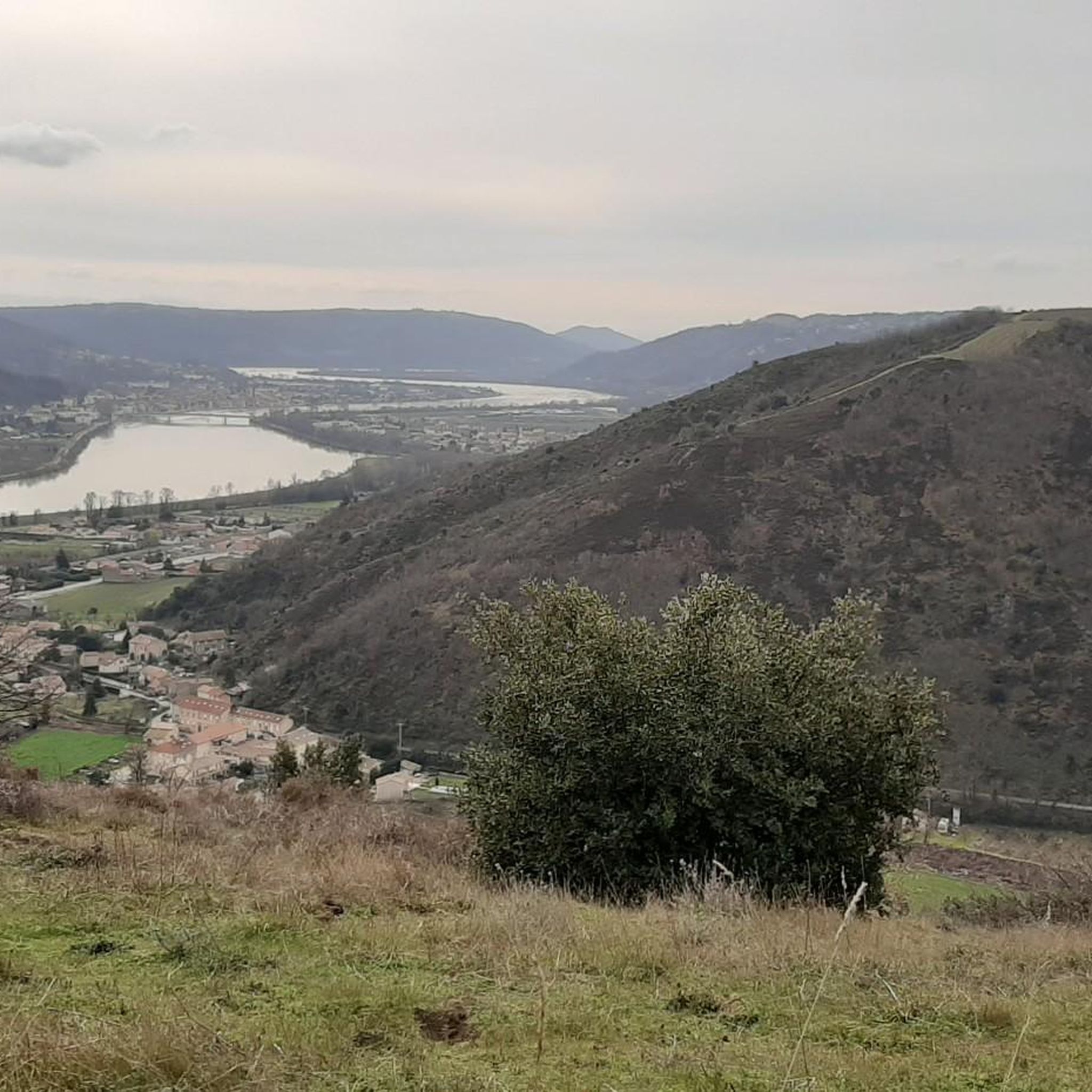
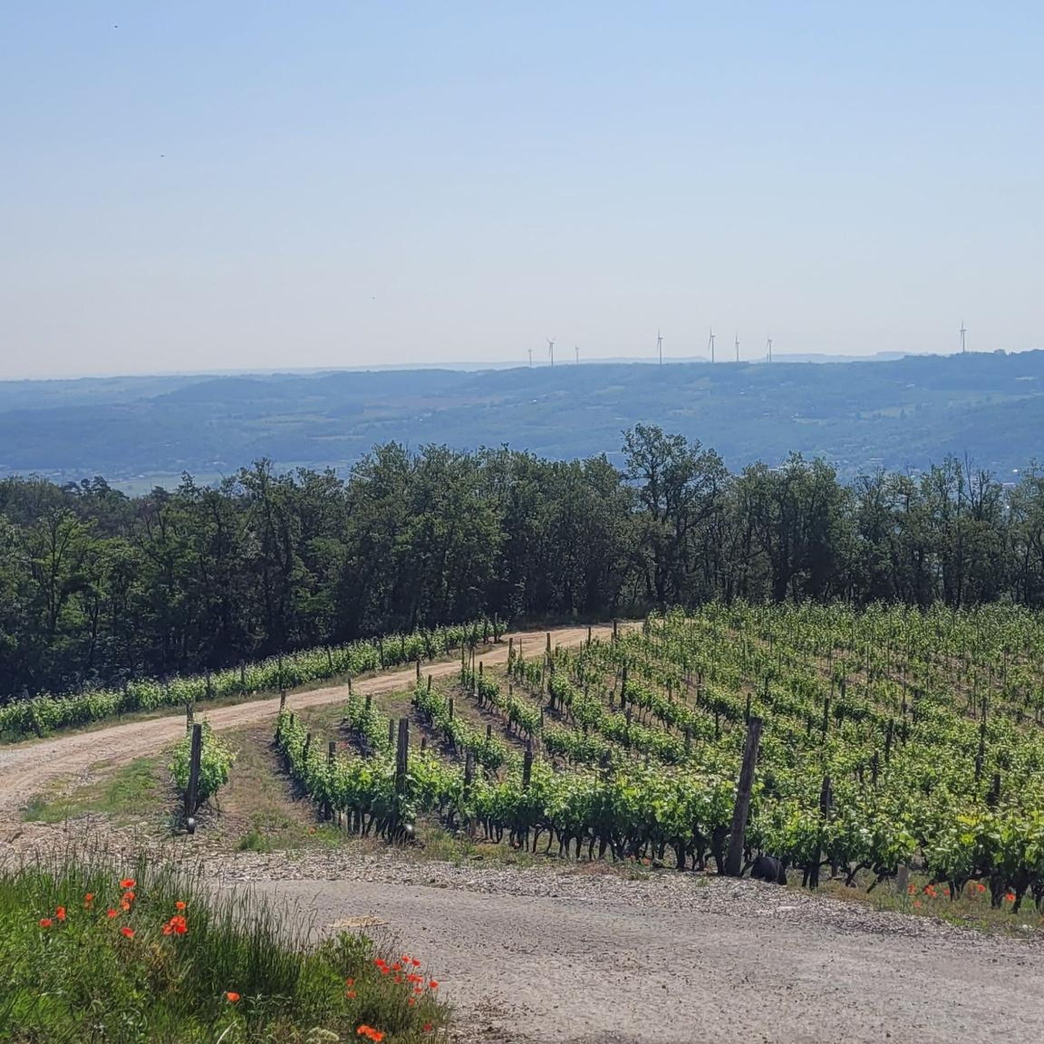
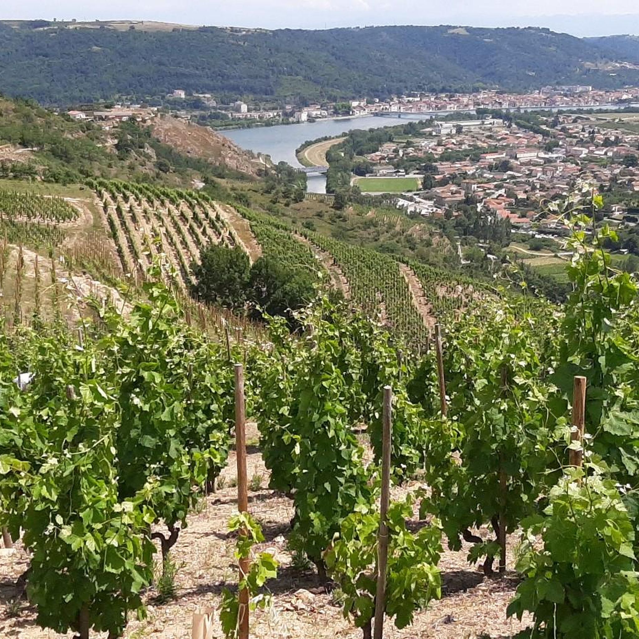
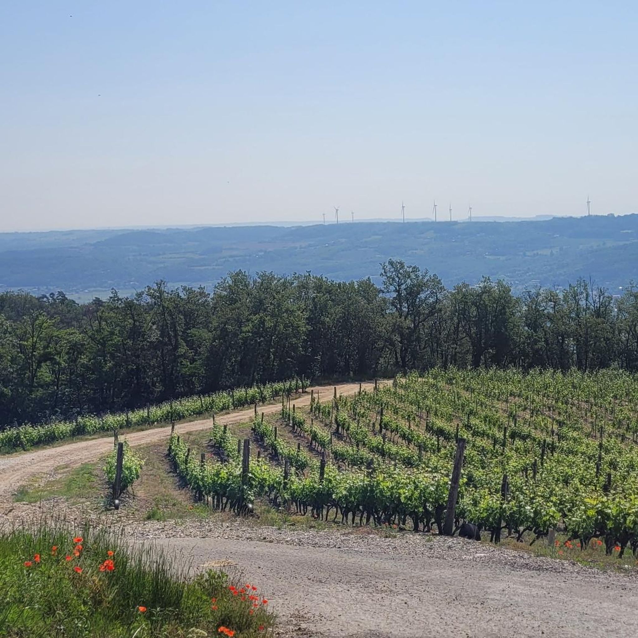
Gravel biking around Talencieux offers routes through varied terrain, characterized by river valleys, historic bridges, and areas with significant elevation changes. The region features paths along the Rhône river, connecting towns and natural areas, and incorporates sections with views of the surrounding landscape. Talencieux is situated in the Ardèche department, known for its diverse natural landscapes including mountains, valleys, gorges, forests, and vineyards. The area's geological history includes landscapes shaped by extinct volcanoes, providing unique panoramas and terrain for exploration.
…Last updated: October 5, 2026
6
riders
Hard gravel ride. Very good fitness required. Mostly paved surfaces. Suitable for all skill levels.
5.0
(1)
4
riders
15.3km
01:05
230m
230m
Moderate gravel ride. Good fitness required. Mostly paved surfaces. Suitable for all skill levels.

2
riders
21.6km
01:54
510m
500m
Hard gravel ride. Very good fitness required. Mostly paved surfaces. Suitable for all skill levels.
2
riders
41.5km
02:51
530m
530m
Hard gravel ride. Very good fitness required. Mostly paved surfaces. Suitable for all skill levels.
1
riders
38.4km
02:34
630m
630m
Hard gravel ride. Very good fitness required. Mostly paved surfaces. Suitable for all skill levels.
Our route recommendations are based on thousands of hikes, rides, and runs completed by other people on komoot.
Start today with a free account
Your next adventure awaits.
Tips from the Community

Between Boulieu-lès-Annonay and Vinzieux. Without particular difficulty.
0
0

Leaving Annonay, this section of the Via Fluvia goes through the woods, passing under several bridges and tunnels.
0
0

Built between 1879 and 1881, this viaduct once carried the railway. It is located right next to a former paper mill.
0
0

Climbed from Serrières, passing through the vineyards to avoid the main road. A real pleasure to climb, the road is not very busy.
0
0

This former shelter, located along the Via Fluvia, is enjoying a new lease of life thanks to the determination of the local heritage conservation association. It makes a lovely rest area; there's even a beautiful waterfall right across the street, and easy access to the river.
0
0

The Col du Fayet is 9.68m long with a total drop of 470m. The average gradient is 4.86% with maximum gradients of 7.1%.
1
0
A large viaduct of an old railway which came from Firminy and went to Saint-Rambert d'Albon.
0
0

Beautiful blue suspension bridge over the Rhone at Sablon.
3
0
Frequently Asked Questions
How many gravel bike trails are available around Talencieux?
There are 8 gravel bike routes available around Talencieux, offering a variety of experiences for different skill levels.
What kind of terrain can I expect on gravel bike trails in Talencieux?
Gravel biking around Talencieux features varied terrain, including paths along the Rhône river, historic bridges, and areas with significant elevation changes. You'll encounter river valleys and natural sections, providing diverse riding conditions.
Are there any family-friendly or easy gravel bike routes in Talencieux?
While many routes in Talencieux are rated moderate to difficult, some sections along the ViaRhôna offer smoother riding. For a moderate option that includes historic towns, consider the Old Bridge of Andance – Town of Andance loop from Champagne, which is 44.3 miles (71.3 km) long.
What do other gravel bikers enjoy most about the trails in Talencieux?
The gravel bike routes in Talencieux are highly rated by the komoot community, with an average score of 4.8 stars from over 38 reviews. Riders often praise the varied terrain, the scenic river valleys, and the inclusion of historic bridges and towns along the routes.
Are there any circular gravel bike routes around Talencieux?
Yes, many of the gravel bike routes in the area are designed as loops. For example, the Passerelle Marc-Seguin – ViaRhôna - Tournon-sur-Rhône loop from Saint-Vallier-sur-Rhône is a popular circular route that follows the ViaRhôna.
What are some notable landmarks or attractions I can see along the gravel bike trails?
Many routes pass by significant points of interest. You can cycle past the Town of Andance, explore sections of the ViaRhôna: Riverside Path Between Orchards and Vineyards, or see the Rochetaillée Castle. The Thorrenc Viaduct – Aqueduct and Château de Thorenc loop from Saint-Rambert-d'Albon also features historical structures.
Are there any challenging routes for advanced gravel bikers?
Absolutely. Talencieux offers several difficult routes with significant elevation gain. The Naturlehrpfad – Sablons Bridge loop from Saint-Rambert-d'Albon is a challenging 85.9 miles (138.2 km) path that includes natural sections and crosses the Sablons Bridge.
What is the best time of year for gravel biking in Talencieux?
The region is generally pleasant for gravel biking from spring through autumn. These seasons offer milder temperatures and vibrant landscapes. While winter riding is possible, be prepared for potentially colder conditions and check local weather forecasts.
Are there any routes that offer particularly good viewpoints?
Many routes in Talencieux offer scenic views, especially those that follow the Rhône river or ascend into areas with elevation. The diverse terrain ensures opportunities for panoramic vistas of the surrounding landscape and river valleys.
What should I bring for a gravel bike tour in Talencieux?
Given the varied distances and elevations, it's advisable to bring sufficient water, snacks, a repair kit, and appropriate clothing for changing weather conditions. A GPS device or a loaded komoot tour is also recommended for navigation on the diverse trails.
Are there any hidden gems or less-traveled gravel routes in the area?
For a route that explores more varied terrain and includes significant elevation, consider the Lac des Meinettes – Passerelle Marc-Seguin loop from Saint-Vallier-sur-Rhône. This difficult 35.6 miles (57.3 km) route offers a different perspective of the region.
Most popular routes around Talencieux
Most popular attractions around Talencieux

Get inspired with the komoot mobile app


Explore more
Browse the best Gravel rides in other regions.
