The best gravel rides around Fontcouverte-La-Toussuire
5.0
(8)
166
riders
12
rides
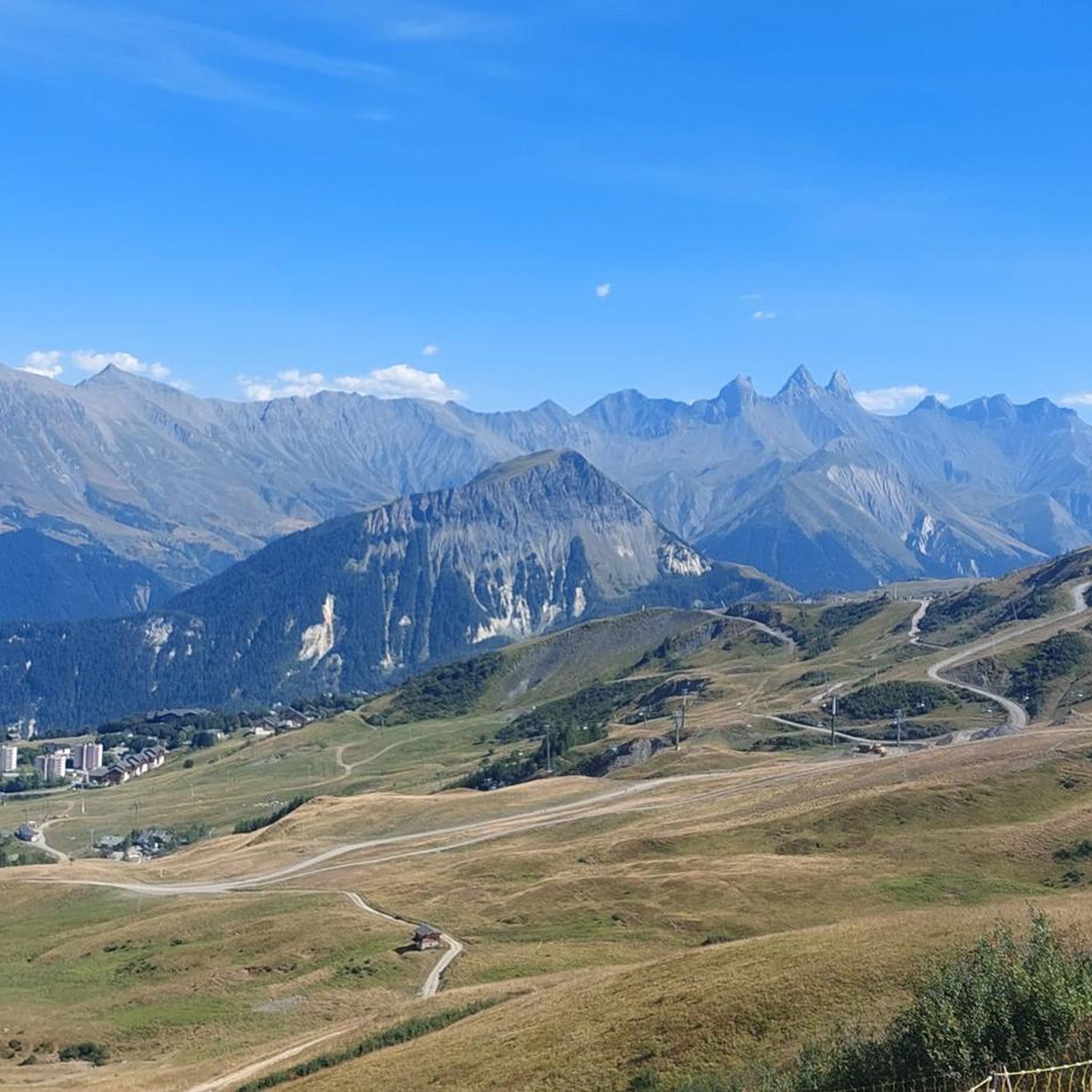
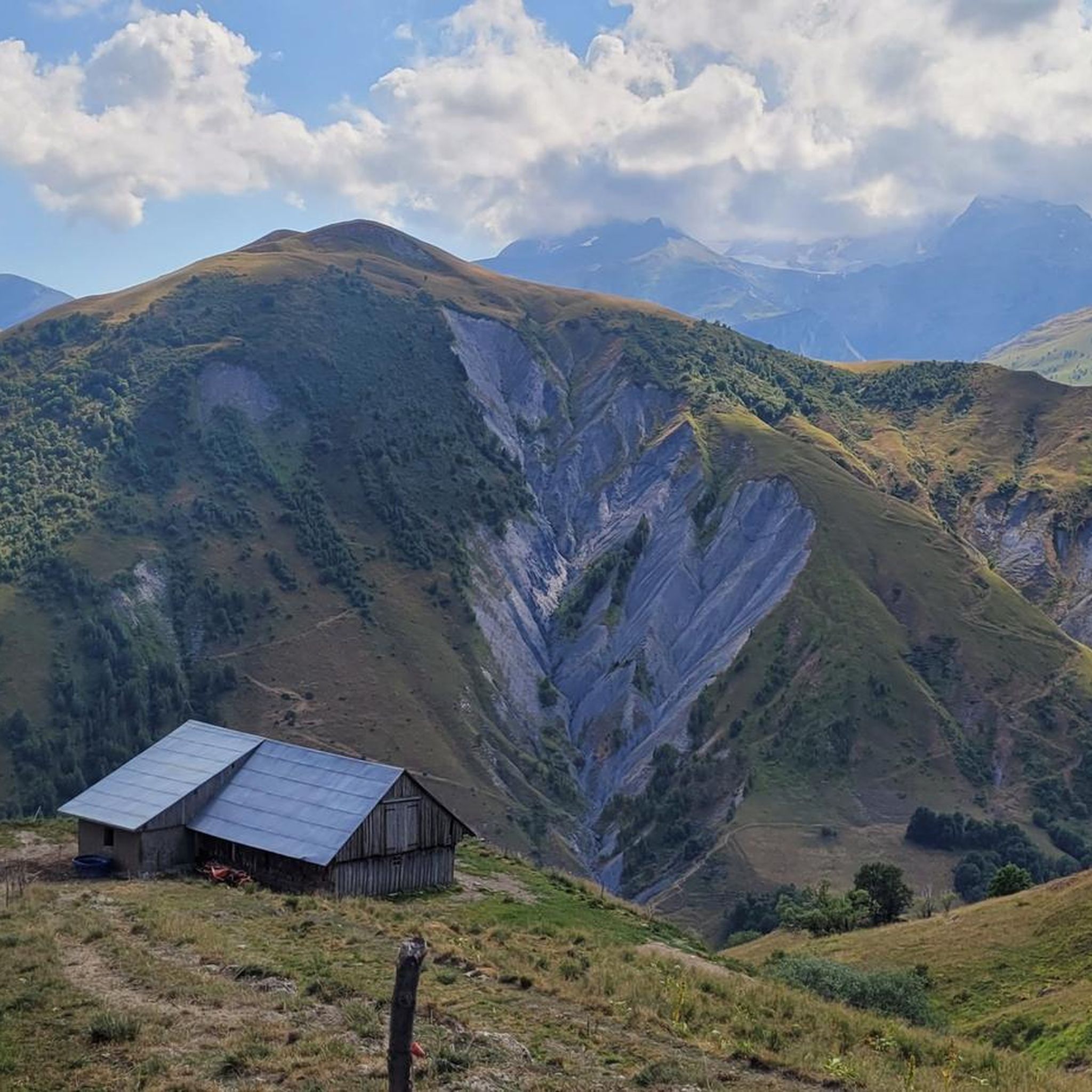
Gravel biking around Fontcouverte-La-Toussuire offers routes through the French Alps, characterized by mountainous terrain and high-altitude passes. The region features dramatic mountain vistas, including views of the Aiguilles d'Arves and challenging ascents. An extensive network of trails and former high-mountain military tracks provides diverse landscapes for gravel cyclists. Riders can expect varied topography with significant elevation changes across its trails, ranging from 650m to 2620m.
Best gravel bike trails around Fontcouverte-La-Toussuire
- The most popular gravel bike trail is Col de…
Last updated: July 15, 2026
5.0
(3)
57
riders
68.9km
05:44
2,280m
2,290m
Hard gravel ride. Very good fitness required. Mostly paved surfaces. Suitable for all skill levels.
27
riders
94.1km
07:43
2,900m
2,900m
Hard gravel ride. Very good fitness required. Mostly paved surfaces. Suitable for all skill levels.

Sign up for free
3
riders
19.3km
02:12
840m
840m
Hard gravel ride. Very good fitness required. Mostly paved surfaces. Suitable for all skill levels.
5.0
(2)
23
riders
42.9km
03:23
1,310m
1,310m
Hard gravel ride. Very good fitness required. Mostly paved surfaces. Suitable for all skill levels.
5.0
(1)
19
riders
109km
09:01
3,570m
3,570m
Hard gravel ride. Very good fitness required. You may need to push your bike for some segments of this route.
Get access to more routes and recommendations from other explorers.
Sign up for free
Already have an account?
Our route recommendations are based on thousands of hikes, rides, and runs completed by other people on komoot.
Start today with a free account
Your next adventure awaits.
Login or Signup
Popular around Fontcouverte-La-Toussuire

Tips from the Community

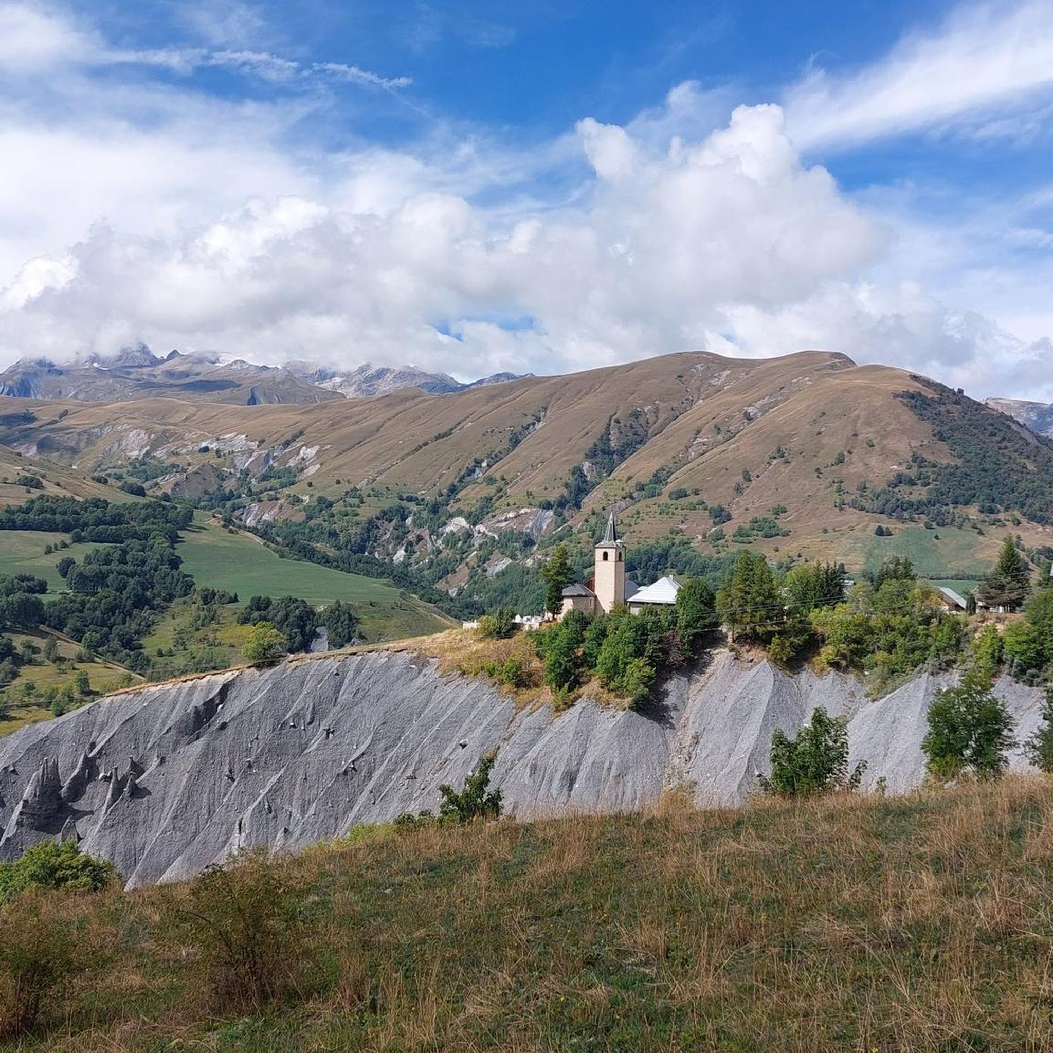
Pretty mountain village. Very pleasant, far from the big resorts.
0
0
https://en.wikipedia.org/wiki/Saint-Saturnin_Church_of_Saint-Sorlin-d%27Arves
0
0

Narrow road, great views. Relatively little traffic.
2
0
Narrow road by the rock, great views.
2
0
Narrow road by the rock, great views.
2
0
Orderly ascent, nice pass with chapel and bar/restaurant. Some water points, but not many.
1
0
nice small mountain town, Opinel is also appreciated here. If everything is closed, a fountain is available.
2
0
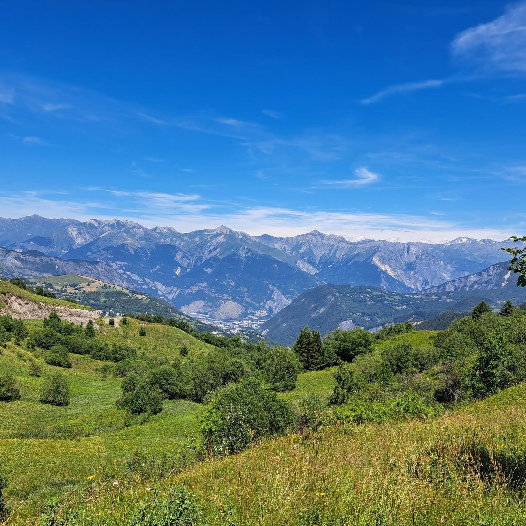
Great mountain view, nice descent.
2
0
Frequently Asked Questions
What kind of terrain can I expect on gravel bike trails in Fontcouverte-La-Toussuire?
The gravel bike trails in Fontcouverte-La-Toussuire are primarily characterized by mountainous terrain with significant elevation changes. You'll encounter high-altitude passes and varied topography, offering a challenging experience amidst the French Alps.
Are there any easy gravel bike routes for beginners or families in the Fontcouverte-La-Toussuire area?
The gravel routes in Fontcouverte-La-Toussuire are generally demanding, with all 13 listed tours rated as 'difficult'. They feature substantial elevation gain and are best suited for experienced riders seeking challenging ascents and descents. There are no easy or moderate routes specifically identified for beginners or families in the current selection.
What are some notable natural features or landmarks I might see while gravel biking here?
The region offers dramatic mountain vistas, including spectacular views of the jagged peaks of the Aiguilles d'Arves. You might also encounter significant cycling challenges like the Col de la Croix de Fer and the Mollard Pass. Other highlights include the View of Mont-Blanc and various summits like La Toussuire Summit.
What is the best time of year for gravel biking in Fontcouverte-La-Toussuire?
Given the high-altitude passes and mountainous terrain, the best time for gravel biking in Fontcouverte-La-Toussuire is typically during the warmer months, from late spring through early autumn. This avoids the snowy conditions that can make many routes impassable in winter.
How many gravel bike trails are available in Fontcouverte-La-Toussuire?
There are 13 gravel bike trails listed in Fontcouverte-La-Toussuire, all of which are categorized as difficult due to their significant elevation gains and challenging terrain.
What do other gravel bikers say about the trails in Fontcouverte-La-Toussuire?
The gravel biking routes in Fontcouverte-La-Toussuire are highly rated by the komoot community, with an average score of 5.0 stars from over 10 reviews. Riders often praise the challenging ascents, panoramic views, and the overall demanding nature of the trails, making them ideal for experienced cyclists.
Are there any long-distance gravel routes for an extended adventure?
Yes, for those seeking a longer adventure, the Route du pas de la confession loop from Tête de Bellard is a substantial option. It covers 94.1 km (58.4 miles) and typically takes around 9 hours and 11 minutes to complete, leading through high mountain passes and valleys.
Can you recommend a challenging loop route that includes a famous pass?
Certainly. The Col de Chaussy – Col du Chaussy loop from Saint-Jean-de-Maurienne - Vallée de l'Arvan is a popular and challenging route. It spans 63.5 km (39.4 miles) with significant elevation gain through alpine landscapes, taking approximately 5 hours and 6 minutes.
Are there any routes that offer particularly magnificent views?
Absolutely. The Madeleine Pass – Magnifique vue loop from Pontamafrey-Montpascal is a difficult 69.2 km (43.0 miles) path specifically noted for its extensive climbs and panoramic views of the surrounding mountain ranges, living up to its name.
What is the elevation gain like on these gravel routes?
The gravel routes in Fontcouverte-La-Toussuire feature substantial elevation gains. For example, the Route du pas de la confession loop from Tête de Bellard involves nearly 3,000 meters of ascent, while others like the Col de Chaussy loop have over 1,900 meters of climbing.
Are there any shorter, yet still challenging, gravel routes available?
If you're looking for a shorter but still difficult option, the Saint-Sorlin-d'Arves – L'Ouillon loop from Saint-Sorlin-d'Arves is a good choice. It's 19.1 km (11.9 miles) long with over 750 meters of elevation gain, typically completed in about 2 hours and 5 minutes.
Where can I find information about parking for gravel biking in Fontcouverte-La-Toussuire?
While specific parking locations for each trail are not detailed here, many routes, such as the Maison de Joseph Opinel – Mollard Pass loop, start from towns like Saint-Jean-de-Maurienne, where public parking options are generally available. It's advisable to check local parking facilities in the starting towns of your chosen route.
Most popular routes around Fontcouverte-La-Toussuire
Most popular attractions around Fontcouverte-La-Toussuire

Get inspired with the komoot mobile app


Explore more
Browse the best Gravel rides in other regions.
