The best gravel rides around Varaire
4.8
(4)
51
riders
8
rides
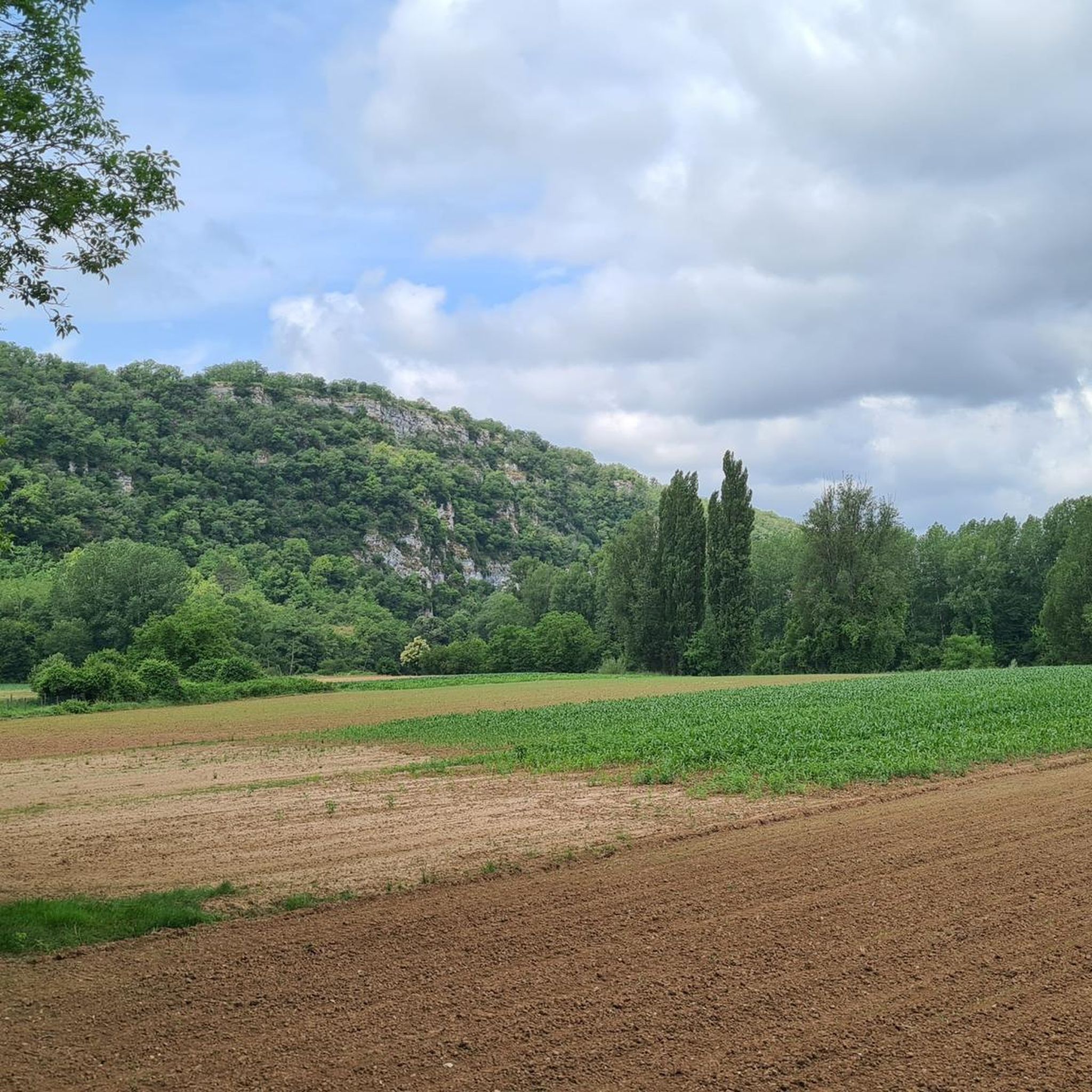
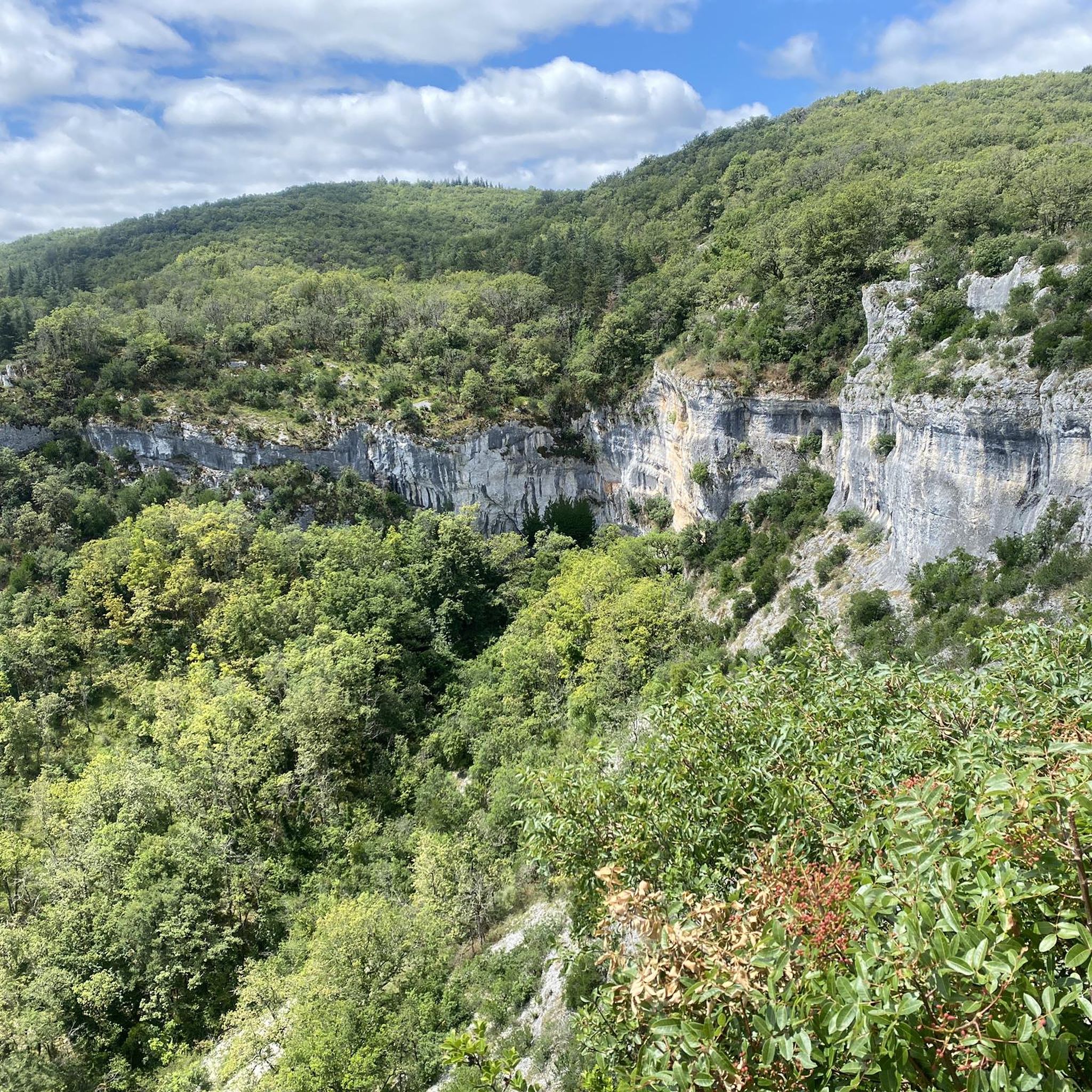
Gravel biking around Varaire offers routes through the varied landscapes of the Lot department. The region is characterized by limestone plateaus, known as "causses," interspersed with river valleys and dense woodlands. These physical features provide a mix of terrain suitable for gravel biking, from rolling paths to more challenging ascents. The area's geology contributes to a network of trails with diverse surfaces.
Best gravel bike trails around Varaire
- The most popular gravel bike trail is The wells of Laburgade –…
Last updated: November 2, 2026
5.0
(1)
14
riders
68.8km
04:51
760m
760m
Hard gravel ride. Very good fitness required. Mostly paved surfaces.
4.7
(3)
26
riders
54.2km
04:07
910m
910m
Hard gravel ride. Very good fitness required. Mostly paved surfaces.

6
riders
21.7km
01:40
220m
220m
Moderate gravel ride. Good fitness required. Mostly paved surfaces.
4
riders
19.2km
01:19
170m
170m
Moderate gravel ride. Good fitness required. Mostly paved surfaces.
3
riders
26.1km
01:53
540m
540m
Hard gravel ride. Very good fitness required. Mostly paved surfaces.
Get access to more routes and recommendations from other explorers.
Already have an account?
Our route recommendations are based on thousands of hikes, rides, and runs completed by other people on komoot.
Start today with a free account
Your next adventure awaits.
Tips from the Community

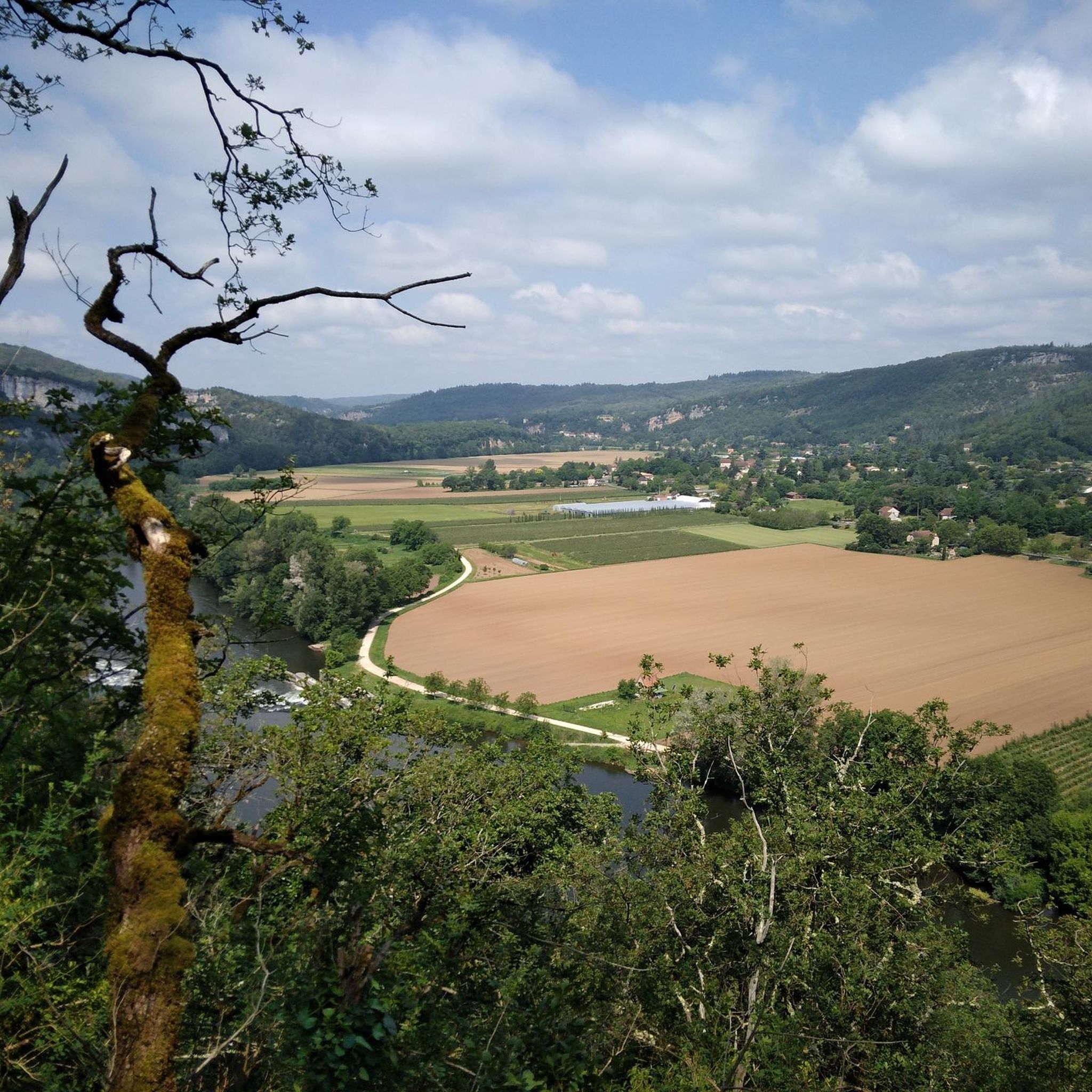
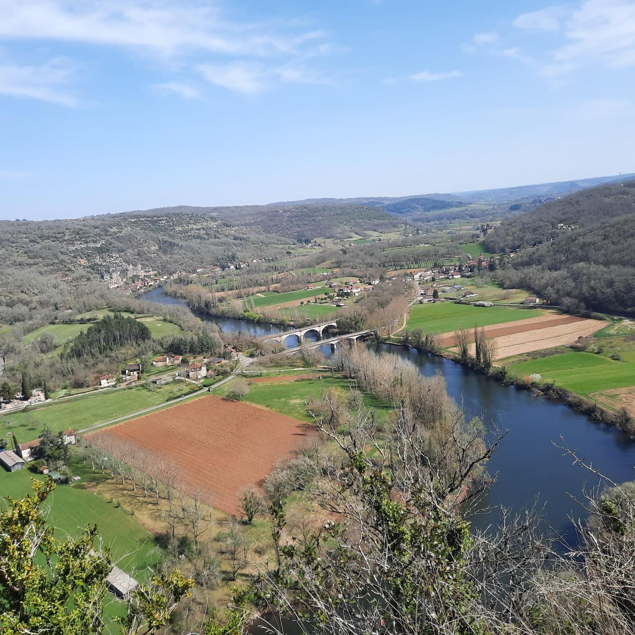
The magnificent corniche road overlooking the meanders of the river is located at the level of the spectacular Lot valley, particularly on the heights of the limestone plateaus and cliffs. In Saint-Cirq-Lapopie: The Lapopie rock and the Bancourel dovecote offer a spectacular 360-degree plunging view over the river.
0
0
The magnificent cornice route overlooking the meanders of the river is located at the level of the spectacular Lot valley, particularly on the heights of the limestone causses and cliffs. In Saint-Cirq-Lapopie: The Lapopie rock and the Bancourel dovecote offer a spectacular 360-degree plunging view over the river.
0
0
The magnificent corniche road overlooking the meanders of the river is located in the spectacular Lot valley, particularly on the heights of the limestone causse and cliffs. In Saint-Cirq-Lapopie: The Lapopie rock and the Bancourel dovecote offer a spectacular 360-degree plunging view over the river.
0
0
The magnificent corniche road overlooking the meanders of the river is located at the level of the spectacular Lot valley, particularly on the heights of the limestone causse and cliffs. In Saint-Cirq-Lapopie: The Lapopie rock and the Bancourel dovecote offer a spectacular 360-degree plunging view over the river.
0
0
The Ganil towpath: Carved into the limestone cliff rock in 1845, it once allowed horses to tow barges up the Lot river. Between 1985 and 1989, the artist Daniel Monnier sculpted an impressive bas-relief here, representing local fauna and flora. The path connects Bouziès to Saint-Cirq-Lapopie over about 4 to 5 km of easy walking.
0
0
In the heart of the Causses du Quercy Regional Natural Park. Located at the confluence of the Lot and Célé valleys, the village of Bouziès, with around 90 inhabitants, is world-renowned for its spectacular natural and historical heritage. The Château des Anglais: Fortifications from the 11th and 12th centuries anchored directly into the vertical cliff face overlooking the road and the river. This site once served as a fortified refuge for the inhabitants during conflicts.
0
0
In the heart of the Parc naturel régional des Causses du Quercy. Located at the confluence of the Lot and Célé valleys, the village of Bouziès, with around 90 inhabitants, is world-renowned for its spectacular natural and historical heritage. The Château des Anglais: Fortifications from the 11th and 12th centuries anchored directly into the vertical cliff face overlooking the road and the river. This site once served as a fortified refuge for the inhabitants during conflicts.
0
0
Frequently Asked Questions
What is the general difficulty level of gravel biking trails around Varaire?
The gravel biking trails around Varaire offer a mix of challenges. You'll find a good selection of moderate routes, perfect for those looking for a steady ride, as well as several difficult trails that feature significant elevation changes across the limestone plateaus, known as "causses." In total, there are 13 routes, with 7 rated as moderate and 6 as difficult.
Are there any longer gravel bike routes for experienced riders in the Varaire area?
Yes, for experienced riders seeking longer distances, Varaire offers challenging options. Consider the The wells of Laburgade – Vaylats loop from Concots, which spans 67.5 km with considerable elevation, or the Saint-Cirq-Lapopie – Cabrerets loop from Saint-Cirq-Lapopie, a 55.0 km route exploring the Lot Valley.
What kind of terrain can I expect on gravel bike trails near Varaire?
The terrain around Varaire is diverse, characterized by the Lot department's unique geology. You'll primarily ride across limestone plateaus (causses), through river valleys, and along dense woodland paths. This provides a varied experience, from rolling sections to more demanding ascents and descents on different surfaces.
Are there any family-friendly or easier gravel bike routes suitable for beginners?
While many routes are moderate to difficult, there are options that are more accessible. The Concots loop from Escamps is a moderate 21.7 km trail that takes about 1 hour 40 minutes, offering a good introduction to the region's rural landscapes without extreme challenges. Another moderate option is the Tempories Phosphate Deposit loop from Escamps, which is 19.3 km long.
What are some notable viewpoints or scenic spots along the gravel bike routes?
Many routes offer scenic views, especially those traversing the causses or following river valleys. For breathtaking panoramas, consider routes that pass near St-Cirq-Lapopie Heights or offer views of the Cliffs Along the Lot River. The region's geology naturally creates elevated points with expansive vistas.
What interesting places or attractions can I explore near the gravel bike trails?
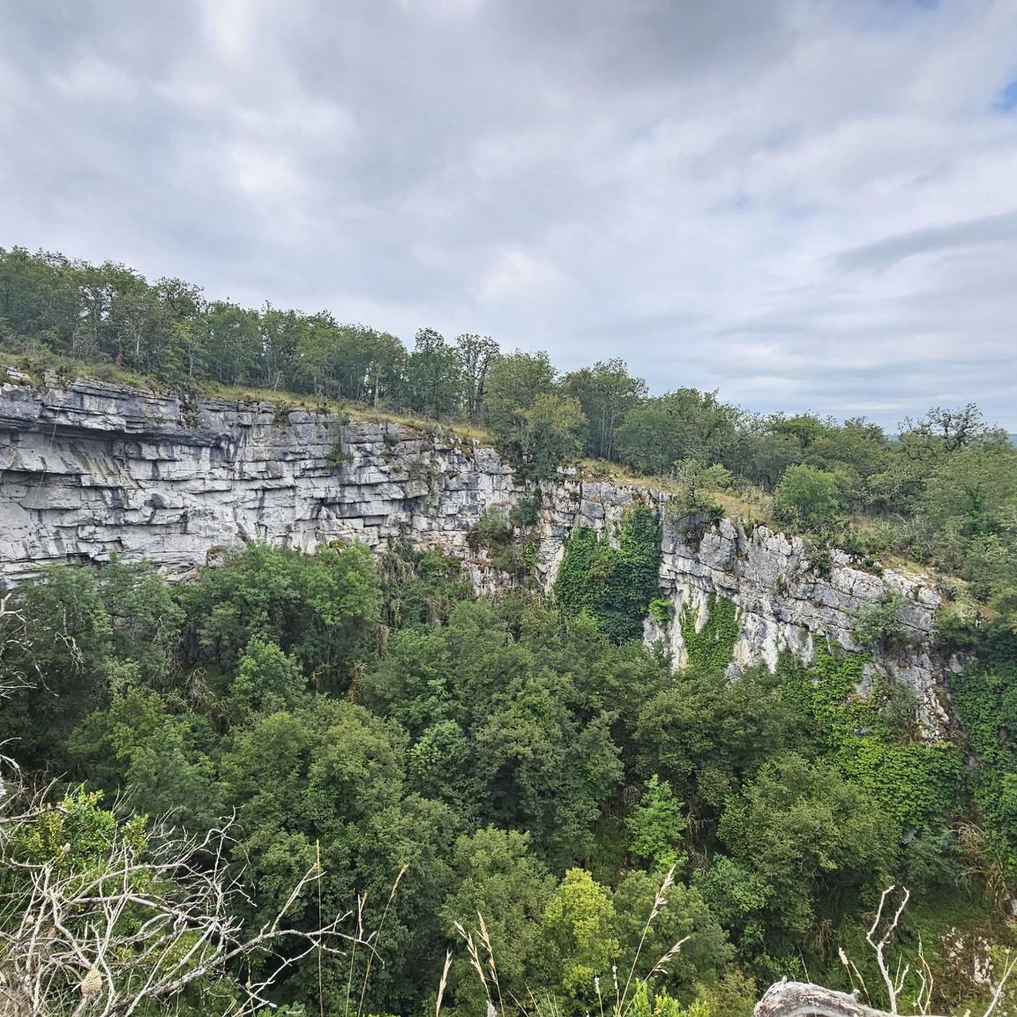
The Varaire area is rich in natural and historical attractions. You can visit the picturesque village of Saint-Cirq-Lapopie, explore the unique geological formation of The Igue of Crégols, or discover the Ganil lock and towpath along the Lot River. These highlights are often accessible from or near the gravel routes.
Are there any circular gravel bike routes available around Varaire?
Yes, many of the gravel bike routes in the Varaire area are designed as loops, allowing you to start and end in the same location. Examples include the The wells of Laburgade – Vaylats loop from Concots, the Saint-Cirq-Lapopie – Cabrerets loop from Saint-Cirq-Lapopie, and the Chemin des puits – The wells of Laburgade loop from Cremps.
What is the best time of year for gravel biking in Varaire?
The best time for gravel biking in Varaire is typically during spring (April to June) and autumn (September to October). During these seasons, the weather is generally mild, and the landscapes are vibrant, making for pleasant riding conditions. Summers can be hot, especially on exposed plateaus, while winters can bring cooler temperatures and potentially wet conditions on trails.
Where can I typically find parking when starting a gravel bike route in Varaire?
Most gravel bike routes in the Varaire area start from villages or small towns, such as Concots, Escamps, Saint-Cirq-Lapopie, or Cremps. These locations generally offer public parking facilities, often near the village center or designated trailheads, making it convenient to begin your ride.
What do other gravel bikers enjoy most about the trails in Varaire?
The gravel biking experience in Varaire is highly rated by the komoot community, with an average score of 4.75 stars from over 7 reviews. Riders often praise the varied terrain, which includes limestone plateaus, river valleys, and woodland paths, as well as the opportunities to explore the region's natural beauty and charming villages.
Are there any hidden gem gravel bike trails in the Varaire region?
While specific 'hidden gems' are often discovered through local exploration, the region itself, with its network of paths through causses and valleys, offers many less-trafficked routes. Exploring trails that connect smaller hamlets or lead to natural features like the Dolmen du lac d'Aurié can provide a sense of discovery away from the more popular paths.
Most popular attractions around Varaire

Get inspired with the komoot mobile app


Explore more
Browse the best Gravel rides in other regions.
