The best gravel rides around Sankt Avold
5.0
(3)
92
riders
42
rides
Gravel biking around Sankt Avold offers a diverse landscape characterized by rolling hills, dense forests, and river valleys. The region features a network of trails that traverse varied terrain, including paths alongside the Bisten and Nied rivers. Elevation gains on these routes indicate a moderately hilly environment, suitable for gravel cycling.
Best gravel bike trails around Sankt Avold
- The most popular gravel bike trail is View of the Bisten – Parc de la Bisten loop from Longeville-lès-Saint-Avold, a 27.6…
Last updated: October 6, 2026
19
riders
Moderate gravel ride. Good fitness required. Mostly paved surfaces. Suitable for all skill levels.
4
riders
31.4km
02:25
330m
330m
Moderate gravel ride. Good fitness required. Mostly paved surfaces. Suitable for all skill levels.

8
riders
46.3km
03:15
430m
430m
Hard gravel ride. Good fitness required. You may need to push your bike for some segments of this route.
12
riders
45.4km
03:00
390m
390m
Moderate gravel ride. Good fitness required. Mostly paved surfaces. Suitable for all skill levels.
5
riders
57.9km
03:47
670m
670m
Hard gravel ride. Very good fitness required. Mostly paved surfaces. Suitable for all skill levels.
Get access to more routes and recommendations from other explorers.
Already have an account?
Our route recommendations are based on thousands of hikes, rides, and runs completed by other people on komoot.
Start today with a free account
Your next adventure awaits.
Other adventures around Sankt Avold

Tips from the Community

The circuit is easy. I did it with an e-MTB.
0
0

Viewpoint from one of the many bunkers along the Marginot Line. On a clear day, the view from here is fantastic, stretching all the way to the nearby Vosges Mountains. Even the Donon and Dabo peaks are easily visible to the naked eye. This shady spot with its bench is also perfect for a short break.
0
0

Distant view as far as the Vosges Mountains
0
0

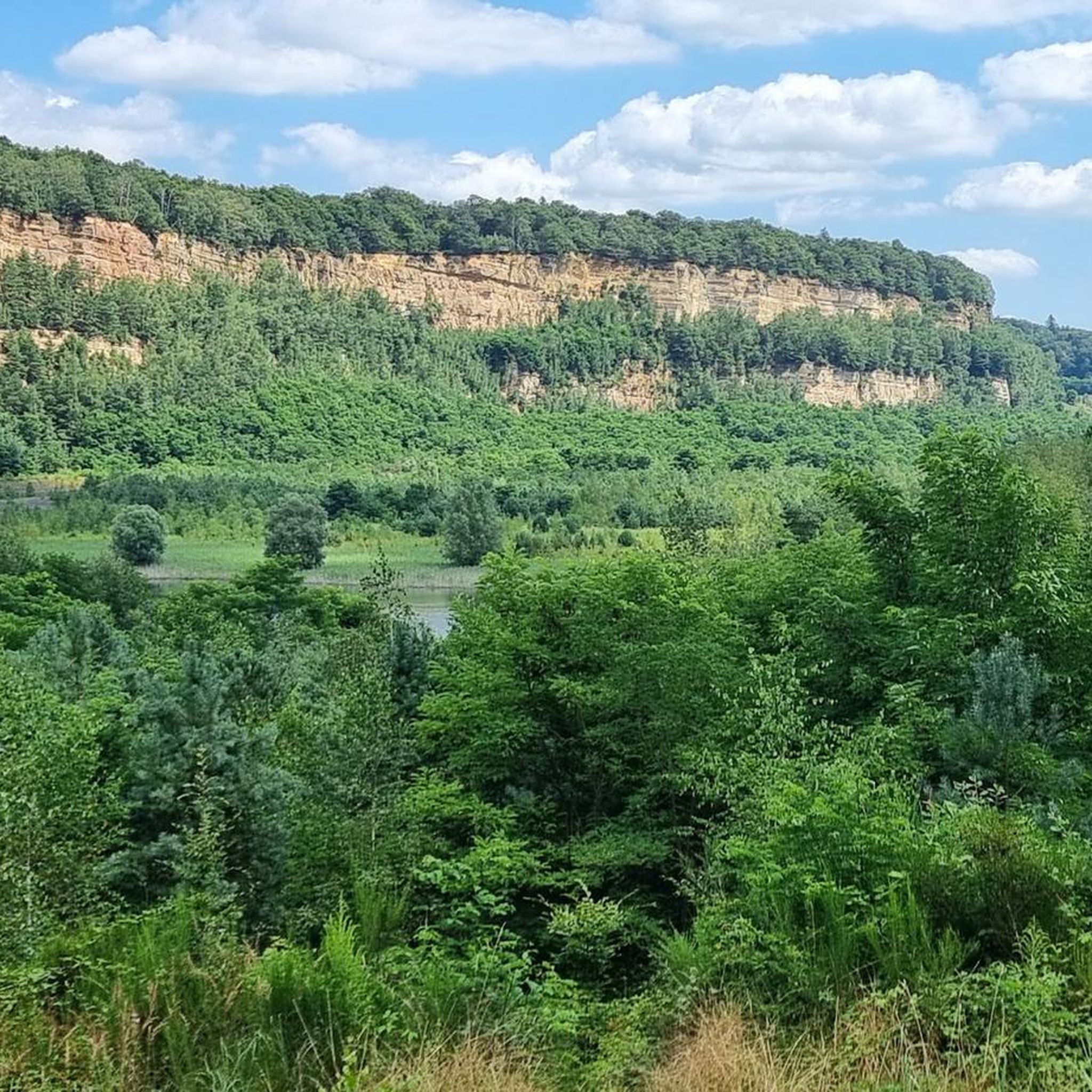
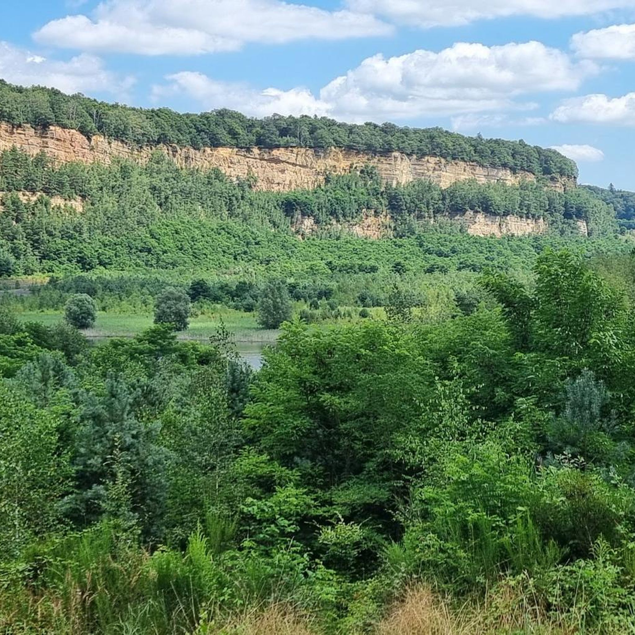
A very beautiful renaturalized pit or quarry. A cool gateway for cyclists.
0
0

The Maginot Line: The French Wall | ARTE https://youtu.be/Bvtxa08ysgc For those who would like to know more about the Maginot Line: de.wikipedia.org/wiki/Liste_der_Ouvrages_der_Maginot-Linie
1
0

The Hoste Bas pond borders the Hoste Haut pond. It was part of the Maginot Line defense system. Today, they are home to numerous species of fish, much to the delight of anglers.
0
1
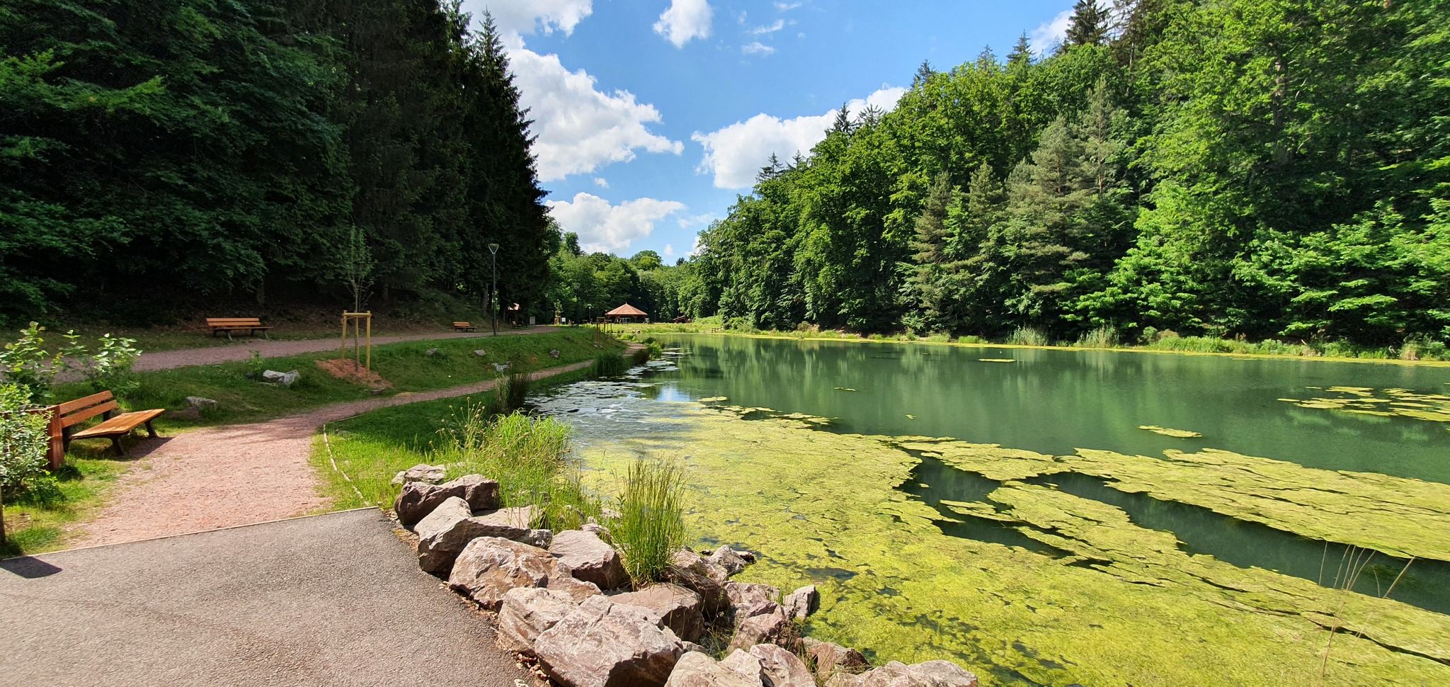
The Welschof Pond is a little corner of paradise for fishermen and ducks. It was built in the 1930s to serve as a reservoir for the Maginot Line's defensive flood control system.
2
0
The Diefenbach Pond covers 75 hectares and is one of the must-see sites along the aquatic Maginot Line. It is home to a wide variety of wildlife. It's not uncommon to encounter ducks, geese, and herons on the banks while strolling.
0
0
Frequently Asked Questions
How many gravel bike trails are available around Sankt Avold?
There are over 60 gravel bike routes around Sankt Avold, offering a wide range of options for different skill levels. You'll find a mix of moderate and difficult trails to explore.
Are there any beginner-friendly gravel bike trails in Sankt Avold?
While many routes are moderate to difficult, the region's diverse terrain means you can find sections suitable for less experienced riders. For a moderate option, consider the View of the Bisten – Parc de la Bisten loop from Longeville-lès-Saint-Avold, which offers scenic views without extreme challenges.
What kind of terrain can I expect on gravel bike trails near Sankt Avold?
Gravel biking around Sankt Avold is characterized by rolling hills, dense forests, and river valleys. You'll encounter varied terrain, including paths alongside the Bisten and Nied rivers, and routes passing by historical sites and natural ponds. Elevation gains indicate a moderately hilly environment.
Are there any circular gravel bike routes around Sankt Avold?
Yes, many of the gravel bike routes in the Sankt Avold area are designed as loops. For example, the popular View of the Nied River – Nied Valley Trail loop from Creutzwald takes you through the scenic Nied River valley and brings you back to your starting point.
What do other gravel bikers enjoy most about the trails in Sankt Avold?
The area is highly rated by the komoot community, with an average score of 5.0 stars. Reviewers often praise the varied terrain, the scenic river valleys, and the opportunity to explore both natural landscapes and historical sites like the Maginot Fort.
Are there any viewpoints or natural attractions along the gravel bike trails?
Yes, the region offers several natural attractions and viewpoints. You might encounter highlights such as the Panoramic Platform at Barrois Quarry or the Barrois Quarry itself. The Sprossmannsquelle is another natural monument worth discovering.
Are there any advanced or challenging gravel bike routes in the area?
Absolutely. Sankt Avold offers numerous challenging routes for experienced gravel bikers. A difficult option is The Maginot Fort at Barst – Lower Hoste Pond loop from Béning, which covers nearly 29 miles and features significant elevation changes while exploring historical sites.
What is the longest gravel bike route available near Sankt Avold?
One of the longer and more challenging routes is the St. Nicholas Pond – Lock on the Saar loop from Lauterbach. This difficult trail spans nearly 50 miles (79.5 km) and involves substantial elevation gain, making it a full-day adventure for experienced riders.
Can I find routes that pass by historical sites or landmarks?
Yes, several routes incorporate historical elements. The The Maginot Fort at Barst – Lower Hoste Pond loop from Béning is a prime example, allowing you to explore the Maginot Fort while enjoying your ride.
Are there any routes that explore forest areas?
Many trails in the Sankt Avold region traverse dense forests. For instance, the Europe Monument, Berus – Warndtweiher loop from Forbach-Boulay-Moselle takes you through varied landscapes, including sections of the Warndt Forest, offering a shaded and immersive experience.
What is the best time of year for gravel biking in Sankt Avold?
The region's diverse landscape is enjoyable throughout much of the year. Spring and autumn offer pleasant temperatures and beautiful scenery, while summer can be great for shaded forest routes. Always check local weather conditions before heading out.
Are there any facilities or rest stops along the trails, like cafes?
While specific cafes directly on every trail are not guaranteed, many routes pass through or near towns and villages where you can find amenities. It's always a good idea to plan your route and check for potential stops beforehand, and carry sufficient water and snacks.
Most popular routes around Sankt Avold
Most popular attractions around Sankt Avold

Get inspired with the komoot mobile app


Explore more
Browse the best Gravel rides in other regions.
