The best gravel rides around Saint-Jean-Bonnefonds
4.6
(19)
105
riders
32
rides
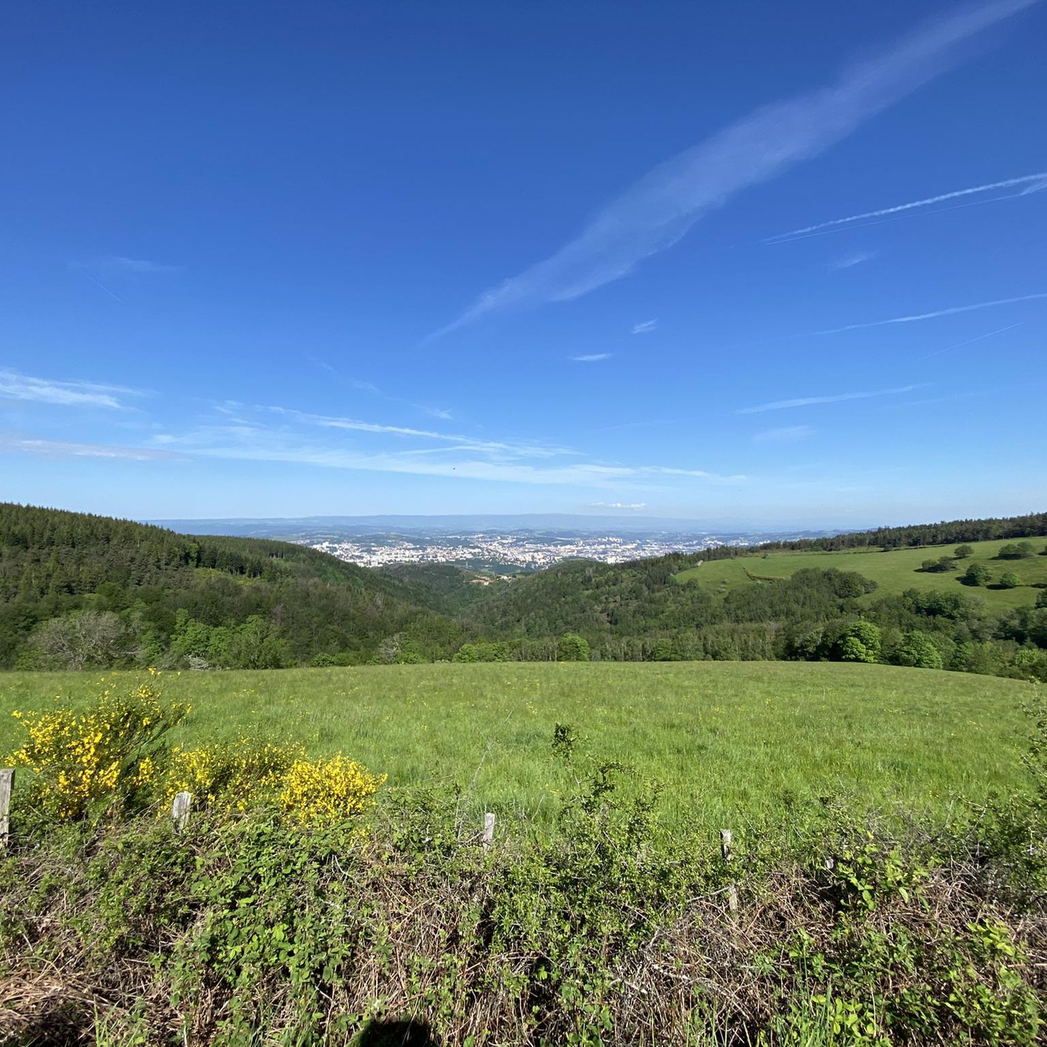
Gravel biking around Saint-Jean-Bonnefonds offers diverse terrain within the Loire department of the Auvergne-Rhône-Alpes region. The area features varied topography with elevations ranging from 418 to 663 meters, bordering the natural regions of Pays de Jarez and Forez. Riders encounter green landscapes, preserved forested slopes, and views of the French countryside. The region's position on the water divide of the Rhône and Loire basins contributes to its varied topographical features, providing a suitable environment for gravel bike trails.
Best gravel…
Last updated: October 6, 2026
5.0
(1)
19
riders
40.4km
03:22
850m
850m
Hard gravel ride. Very good fitness required. Mostly paved surfaces. Suitable for all skill levels.
5.0
(1)
10
riders
50.4km
04:24
1,220m
1,220m
Hard gravel ride. Very good fitness required. Mostly paved surfaces. Suitable for all skill levels.

1
riders
108km
08:38
2,470m
2,470m
Hard gravel ride. Very good fitness required. Mostly paved surfaces. Suitable for all skill levels.
13
riders
41.9km
03:00
650m
650m
Hard gravel ride. Very good fitness required. Mostly paved surfaces. Suitable for all skill levels.
4.8
(4)
8
riders
39.1km
03:17
1,010m
1,010m
Hard gravel ride. Very good fitness required. Mostly paved surfaces. Suitable for all skill levels.
Get access to more routes and recommendations from other explorers.
Already have an account?
Our route recommendations are based on thousands of hikes, rides, and runs completed by other people on komoot.
Start today with a free account
Your next adventure awaits.
Tips from the Community

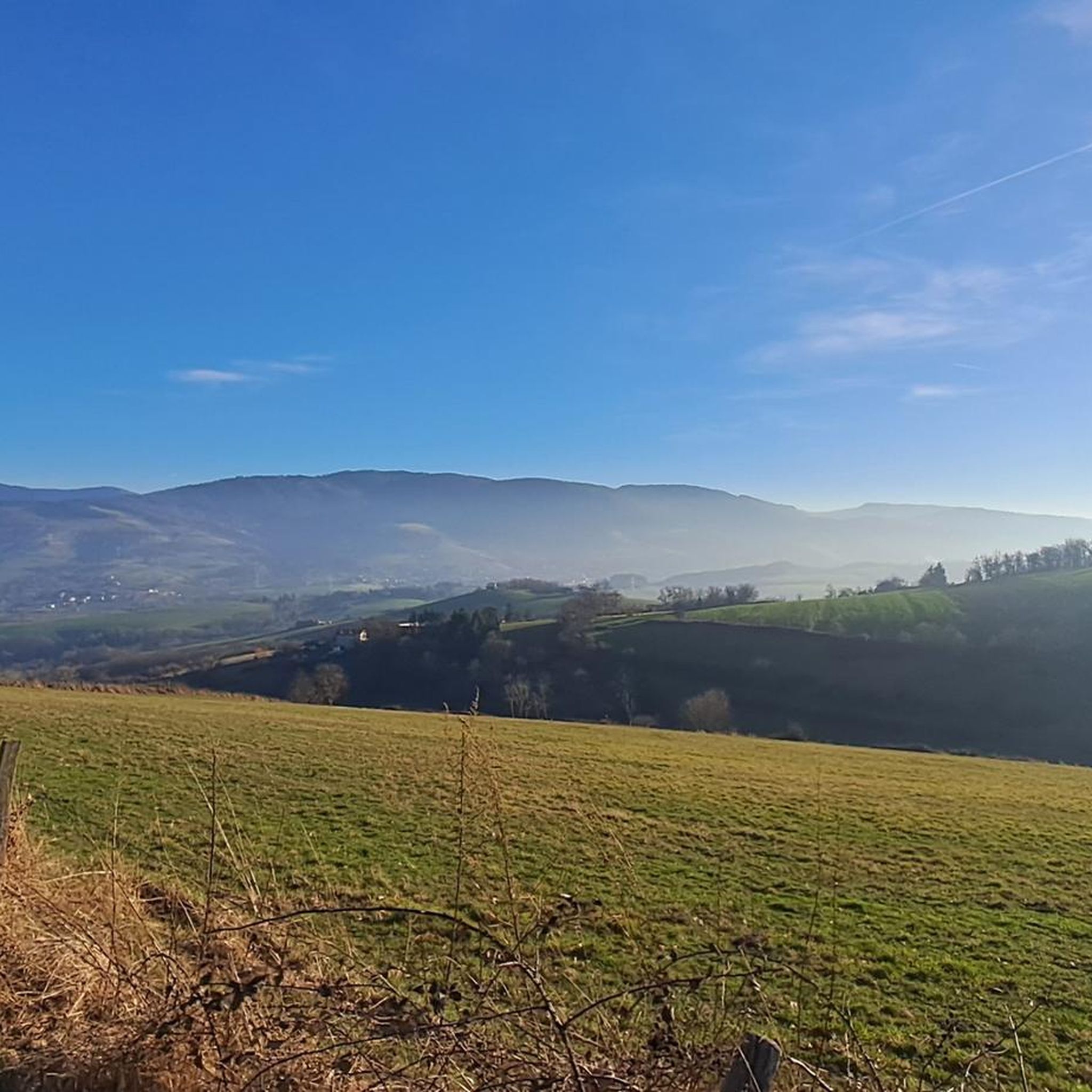
The Col de Pavezin is certainly not the highest, but it is no less mythical. The inventor of the derailleur, Paul de Vivié, who settled here, made it an unmissable rendezvous. The pass is located between the Rhône valley and the Gier valley, and opens up a grandiose panorama of the Alps and the Rhône furrow.
0
0

following the Furan is a "source" of discoveries, dams, aqueduct, penstock...
1
0


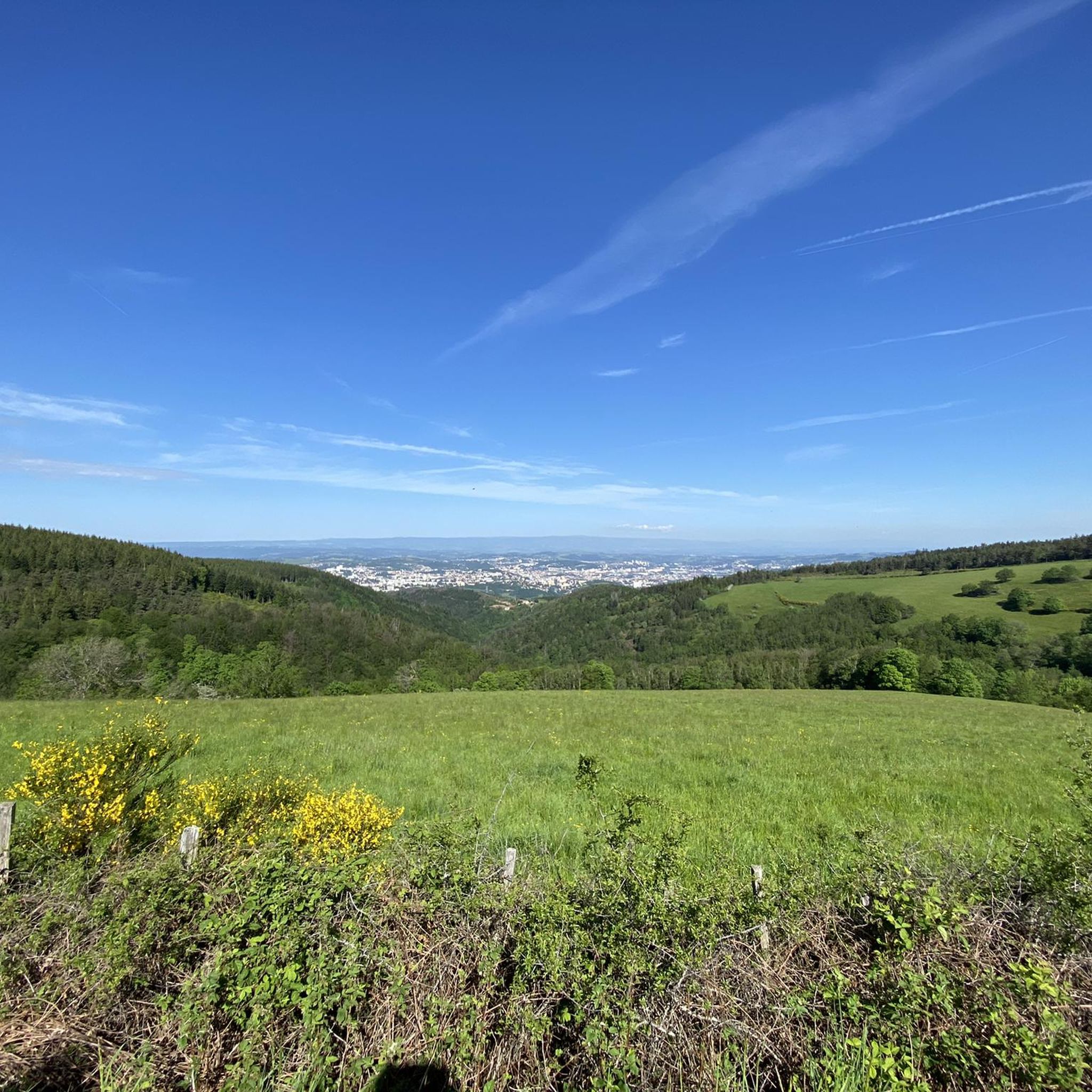
The water in the fountain is super fresh, very beautiful view and good refuge
0
0
THE crossroads of all the walks in the area, with the little refreshing break at the inn, it's perfect (change of owner in progress, for the moment it is closed)
0
0
very smooth track, allowing you to connect to other very nice tracks
0
0

Frequently Asked Questions
What kind of terrain can I expect on gravel bike trails around Saint-Jean-Bonnefonds?
The region offers diverse topography, ranging from 418 to 663 meters in elevation, bordering the natural areas of Pays de Jarez and Forez. You'll encounter a mix of green landscapes, preserved forested slopes, and scenic views of the French countryside. The area's position on the water divide of the Rhône and Loire basins contributes to its varied features, making for engaging gravel rides.
Are there many gravel biking routes available in Saint-Jean-Bonnefonds?
Yes, there are over 30 gravel biking routes in and around Saint-Jean-Bonnefonds. The area is well-suited for gravel biking, with a network of paths and trails that cater to various cycling adventures.
What is the general difficulty level of gravel bike trails in this area?
Most gravel bike trails around Saint-Jean-Bonnefonds are considered difficult, with significant elevation gains and varied terrain. There are 28 difficult routes and 5 moderate routes, making it an ideal destination for experienced riders seeking a challenge.
Are there any circular gravel bike routes?
Yes, many routes are designed as loops. For instance, you could try The pit of hell – Chaubouret Cross loop from Saint-Étienne Châteaucreux, which is a challenging 31-mile (49.9 km) ride with substantial elevation gain. Another option is the Loire Bridge – Lizeron Path loop from Saint-Genest-Lerpt, offering a mix of terrain over 20.9 miles (33.7 km).
What natural features or landmarks can I see along the gravel routes?
You can discover several natural and man-made landmarks. For example, the Chaubouret Cross is a notable natural monument. You might also encounter various dams and reservoirs like the Gier Reservoir, or even the beautiful Saut du Gier Waterfall. Some routes also lead to viewpoints such as Crêt des 6 Soleils, offering panoramic views.
Is Saint-Jean-Bonnefonds a good place for family-friendly gravel biking?
While many routes are rated difficult, the region's broader network of paths and trails, including a 7.5 km VTT circuit called 'Entre Forez et Jarez', suggests there might be easier sections suitable for families. For specific family-friendly options, it's best to filter routes by difficulty on komoot to find shorter, less challenging paths.
What is the best time of year for gravel biking in Saint-Jean-Bonnefonds?
September is particularly popular for cycling in the area, suggesting favorable weather conditions. However, the diverse landscapes and forested slopes make it enjoyable throughout much of the year, especially during spring and autumn when temperatures are milder.
Are there any long-distance gravel routes for experienced riders?
Yes, for experienced riders looking for a significant challenge, the Col de l'Œillon (1233 m) – Pavezin Pass loop from Saint-Chamond is a substantial 67.2-mile (108.1 km) trail. This route takes you through mountainous terrain and passes, typically requiring about 10 hours to complete.
What do other gravel bikers say about the trails in Saint-Jean-Bonnefonds?
The gravel biking routes in Saint-Jean-Bonnefonds are highly rated by the komoot community, with an average score of 4.3 stars from over 10 reviews. Riders often praise the diverse topography, the preserved forested slopes, and the beautiful views of the French countryside.
Are there any routes that pass by historical sites or castles?
Yes, you can find routes that include historical points of interest. For example, the Essalois Castle – Essalois Castle loop from Saint-Genest-Lerpt is a difficult 38.5 km route that features the historic Essalois Castle.
Is it possible to access the gravel trails using public transport?
Saint-Jean-Bonnefonds is close to Saint-Étienne, which has public transport links. Some routes, like L'Etrat Fontanes loop from Saint-Étienne-La Terrasse, start from areas accessible by public transport, making it feasible to reach trailheads without a car.
Where can I find parking for gravel biking trails?
While specific parking locations for each trail are not detailed here, many routes start from towns or villages like Saint-Étienne Châteaucreux, Saint-Genest-Lerpt, or Saint-Chamond, where public parking is generally available. It's advisable to check local parking options near your chosen trailhead.
Most popular routes around Saint-Jean-Bonnefonds
Most popular attractions around Saint-Jean-Bonnefonds

Get inspired with the komoot mobile app


Explore more
Browse the best Gravel rides in other regions.
