The best gravel rides around Staufen
4.5
(14)
127
riders
42
rides
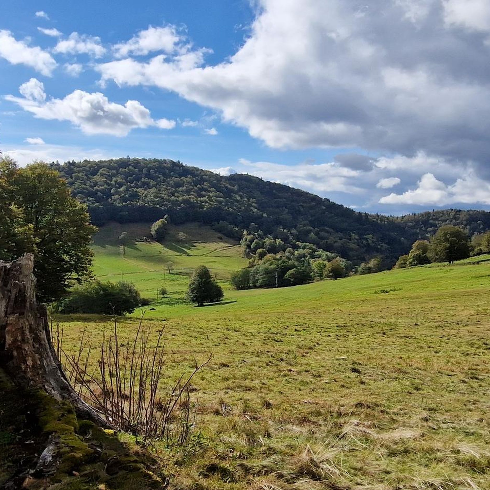
Gravel biking around Staufen features a diverse landscape at the edge of the Southern Black Forest. The region is characterized by rolling hills, forested sections, and open agricultural areas, including extensive terraced vineyards. Terrain includes a mix of paved and unpaved paths, offering varied riding experiences from gentle ascents to challenging climbs. Panoramic views of the Rhine Valley and the French Vosges mountains are accessible from elevated points.
Best gravel bike trails around Staufen
- The most popular gravel bike trail…
Last updated: July 16, 2026
4.0
(2)
23
riders
55.9km
04:06
1,390m
1,390m
Hard gravel ride. Very good fitness required. You may need to push your bike for some segments of this route.
5.0
(4)
28
riders
Hard gravel ride. Very good fitness required. Mostly paved surfaces. Suitable for all skill levels.

Sign up for free
5.0
(3)
13
riders
34.1km
02:08
250m
250m
Hard gravel ride. Good fitness required. You may need to push your bike for some segments of this route.
4.0
(1)
16
riders
64.0km
03:52
530m
530m
Hard gravel ride. Very good fitness required. Mostly paved surfaces. Suitable for all skill levels.
5.0
(1)
19
riders
45.7km
03:11
1,070m
1,070m
Hard gravel ride. Very good fitness required. Mostly paved surfaces. Suitable for all skill levels.
Get access to more routes and recommendations from other explorers.
Sign up for free
Already have an account?
Our route recommendations are based on thousands of hikes, rides, and runs completed by other people on komoot.
Start today with a free account
Your next adventure awaits.
Login or Signup
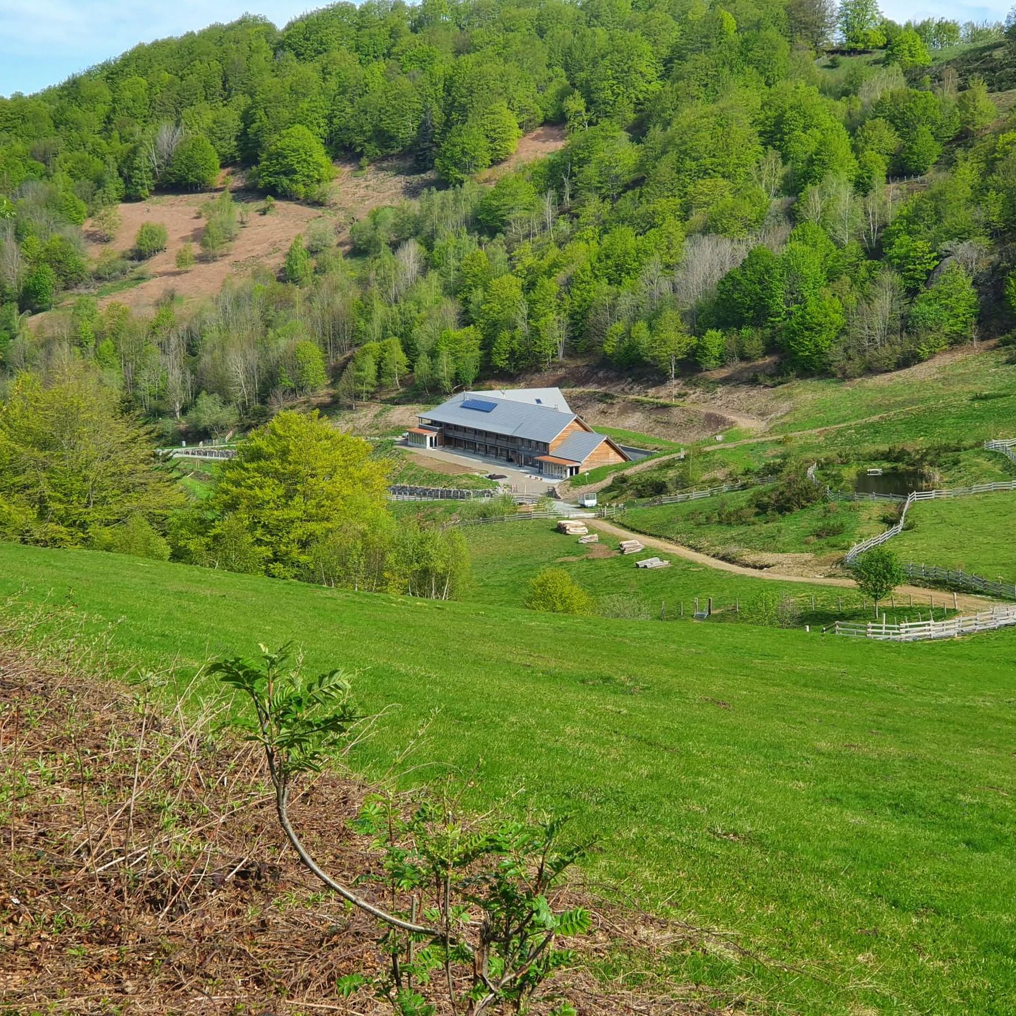
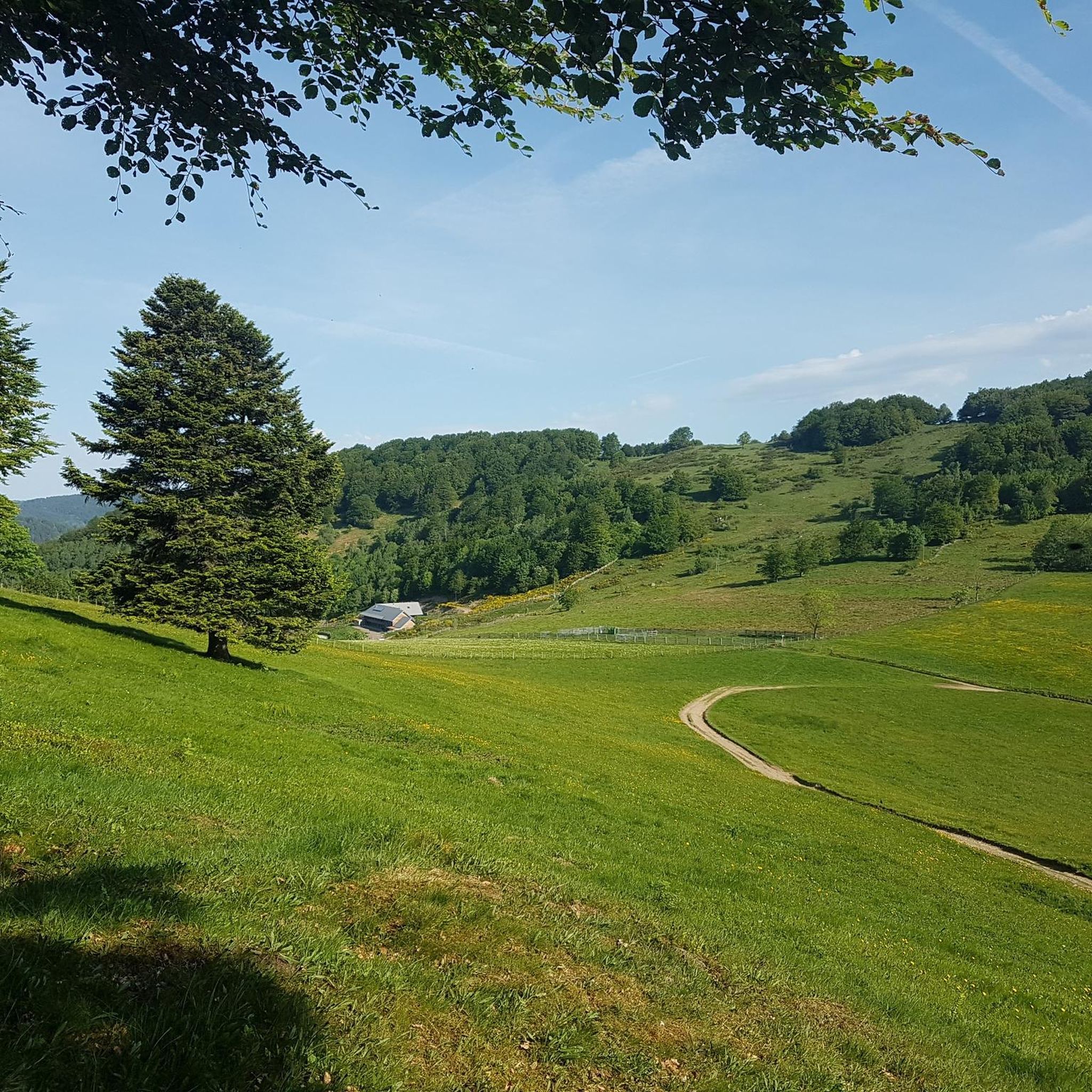
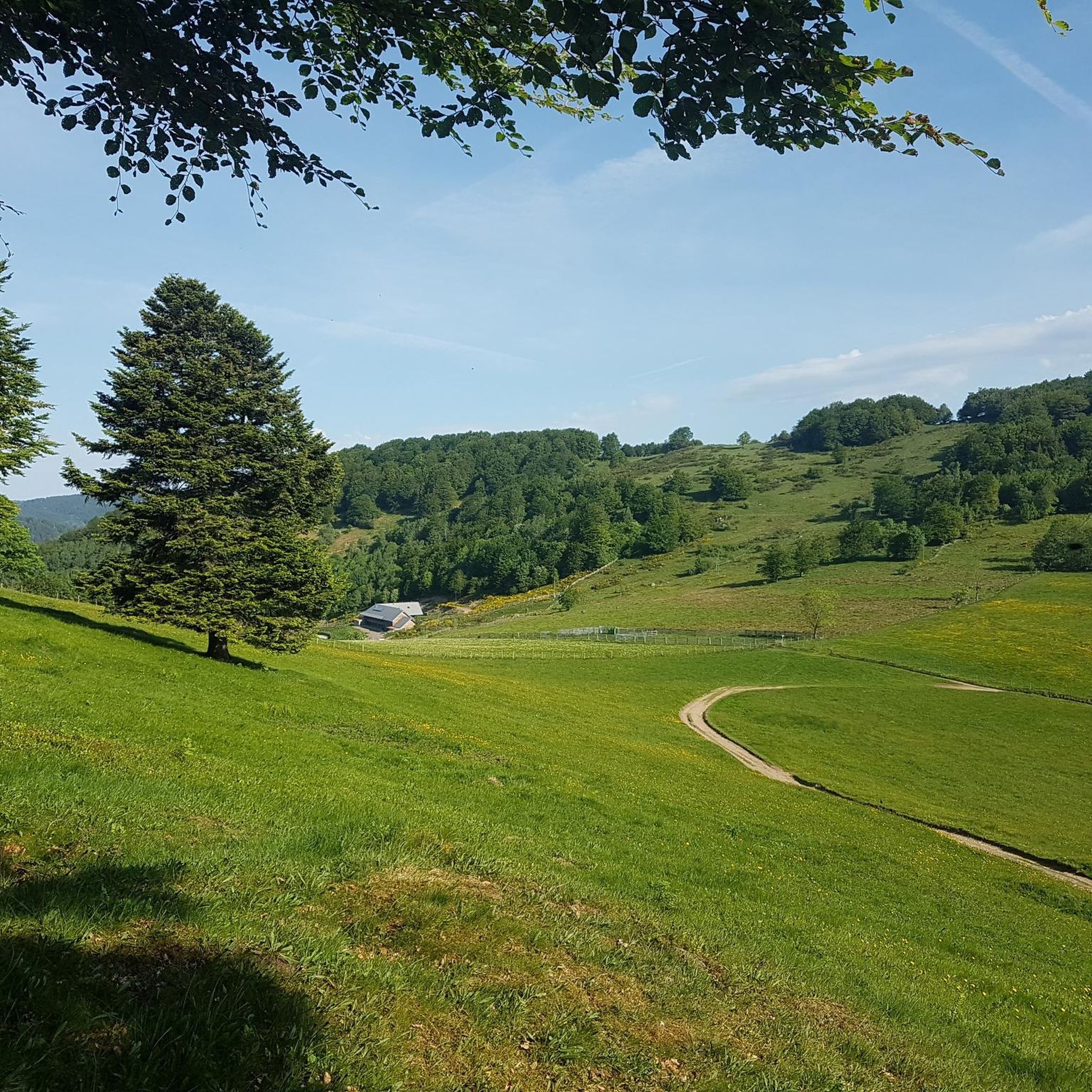
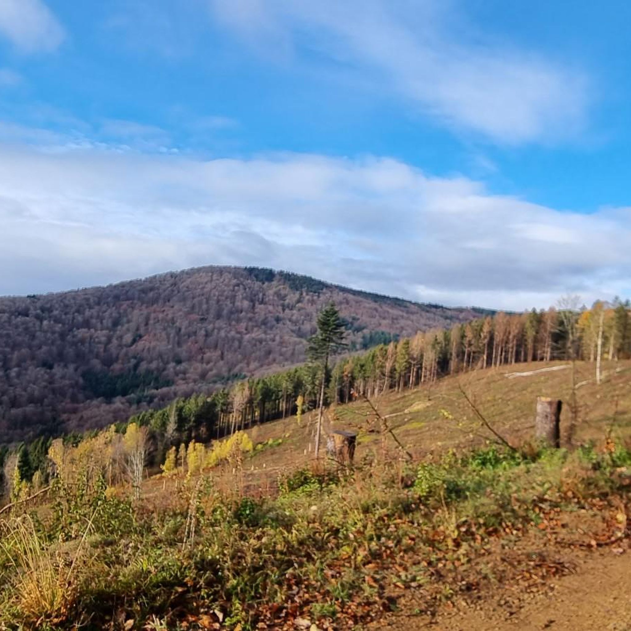
Tips from the Community

If you like to hurt and question gravity, this is the right place.
0
0
It starts gently... but that's just the beginning.
0
0
Long hesitated to do it. Short but very hard, with the Pinot turn and the last ramp of the super board to tell yourself that it's really hard.
0
0
Yes it's tough, with the difficulty of the Pinot turn and the last gravelly ramp.
0
0

very beautiful route!!! drive slowly!! watch out for pedestrians
0
0

Beautiful sculpture and coat of arms of Belfort, below the fortress.
0
0

A "chemin de halage", in German "treidelpfad", which runs alongside the waterway right next to the bed of the river or canal, was an indispensable part of the transport infrastructure in earlier times. Before ships could move using motor power, horses ran along the bank and pulled the ship against the current. This was called "treideln", and this is how the "treidelpfads" got their name, which has been passed down to this day. Where these paths directly on the bank have been preserved, they are often used by hikers and cyclists.
0
1

I noticed this highlight during my search. However, it is not on the Haute Saône Canal but on an independent river, the Savoureuse. According to Wikipedia: The Savoureuse is a right tributary of the Allan, around 41 kilometers long, in the French department of Territoire de Belfort in the Bourgogne-Franche-Comté region. It flows through the city of Belfort and drains the western part of the department to the Mediterranean via the Allan, Doubs, Saône and Rhône water system. The Savoureuse catchment area covers an area of around 225 km². The river name comes from the Patois expression savour (saw). https://de.m.wikipedia.org/wiki/Savoureuse
2
0
Frequently Asked Questions
How many gravel bike trails are there in Staufen?
There are over 45 gravel bike trails available around Staufen, offering a wide range of options for different skill levels and preferences.
What is the typical length of gravel bike trails in Staufen?
The gravel bike trails in Staufen vary significantly in length. You'll find routes ranging from shorter rides, like the Lac du Malsaucy – Malsaucy cycling link loop from Bas-Evette at around 31.5 km, to much longer and more challenging expeditions such as the La Planche des Belles Filles – Ballon de Servance loop from Giromagny, which spans nearly 89 km.
Are there beginner-friendly gravel bike routes in Staufen?
Yes, Staufen offers a few easier gravel bike routes suitable for beginners. While many routes feature significant elevation, there are 3 designated easy tours available, providing a gentler introduction to gravel biking in the region.
What are some challenging gravel bike trails for experienced riders in Staufen?
For experienced riders seeking a challenge, Staufen has 24 difficult gravel bike trails. Routes like the Ballon d'Alsace – Col du Ballon d'Alsace loop from Giromagny offer substantial elevation gain and mountainous terrain, perfect for advanced gravel bikers.
When is the best time of year to go gravel biking in Staufen?
The best time for gravel biking in Staufen is typically from late spring through early autumn (May to October). During these months, the weather is generally mild, and the trails are in optimal condition, offering pleasant riding temperatures and clear paths.
What are the conditions like for gravel biking in Staufen during winter?
Gravel biking in Staufen during winter can be challenging. Higher elevation areas may experience snow and ice, making some trails impassable or requiring specialized equipment. Lower routes might be rideable but expect colder temperatures, potentially muddy sections, and shorter daylight hours.
Are there scenic gravel bike routes with good viewpoints in Staufen?
Absolutely. Many gravel routes in the Staufen region traverse scenic areas with excellent viewpoints. For example, you can find stunning vistas from Salbert Viewpoint or from the summit of Ballon d'Alsace, which some of the more challenging routes pass by or near.
What can I see along the gravel bike trails in Staufen?
Along the gravel bike trails in Staufen, you can encounter diverse natural and cultural highlights. Many routes offer views of impressive mountain peaks like La Planche des Belles Filles and Tête Ronde (Rundkopf). You might also pass by serene lakes such as Neuweiher Lake or traditional farm inns like Gresson Moyen Farm Inn.
Are there gravel bike trails with opportunities for cafe stops or refreshments?
While specific cafe stops aren't always directly on every trail, many routes pass through or near charming villages and towns where you can find cafes, bakeries, and restaurants. Additionally, some trails might lead close to traditional farm inns or refuges, such as Neuweiher Refuge Inn, offering opportunities for a break and refreshments.
Can I reach the gravel bike trails in Staufen by public transport?
Accessing gravel bike trails in Staufen by public transport is possible, especially to larger towns and starting points. Regional train and bus services connect many communities in the area. However, for specific trailheads, you might need to combine public transport with a short ride or walk, so it's advisable to check local schedules and connections beforehand.
What do other gravel bikers enjoy the most about gravel biking in Staufen?
The area is highly rated by the komoot community, with an average score of 4.4 stars. Reviewers often praise the diverse landscape, which includes a mix of forested hills, open countryside, and challenging ascents, providing varied riding experiences and scenic backdrops.
Are there any circular gravel bike routes in Staufen?
Yes, many of the gravel bike trails in Staufen are designed as circular routes, allowing you to start and end at the same point. Examples include the Malsaucy cycling link – Lac du Malsaucy loop from Lachapelle-sous-Chaux and the Hundsruck Pass – Hundsruck loop from Masevaux-Niederbruck, which offer convenient round trips.
Most popular routes around Staufen
Most popular attractions around Staufen

Get inspired with the komoot mobile app


Explore more
Browse the best Gravel rides in other regions.
